
State Route 772 & Left Fork Road, Rarden, OH 45671

- Added:
- Jun 27, 2026
- Days on Market:
- 3
- Last Refresh:
- Jun 29 at 6:06 am
Property Features for State Route 772 & Left Fork Road
General Information
- Property type
- Land
- Property subtype
- Other
- Zoning
- 100 vacant land
- Standard status
- Active
- APN
- 18-0390.000 & 04-047200.0000
- Lot size
- 32.59 Acres
Taxes and HOA fees
- Tax Description
- Massie Camp CR Map 01-002 and Camp Creek Township
- Tax Annual Amount
- 781

Listing agent Nancy Hawk (740) 821-7344
Listing office REAL ESTATE GALLERY, INC. 8811 Ohio River Rd PO Box 502, Wheelersburg, OH (740) 574-9902
Listing date Jun 27, 2026
Copyright © 2026 Greater Portsmouth Area Multiple Listing Service. All rights reserved. All information provided by the listing agent/broker is deemed reliable but is not guaranteed and should be independently verified.
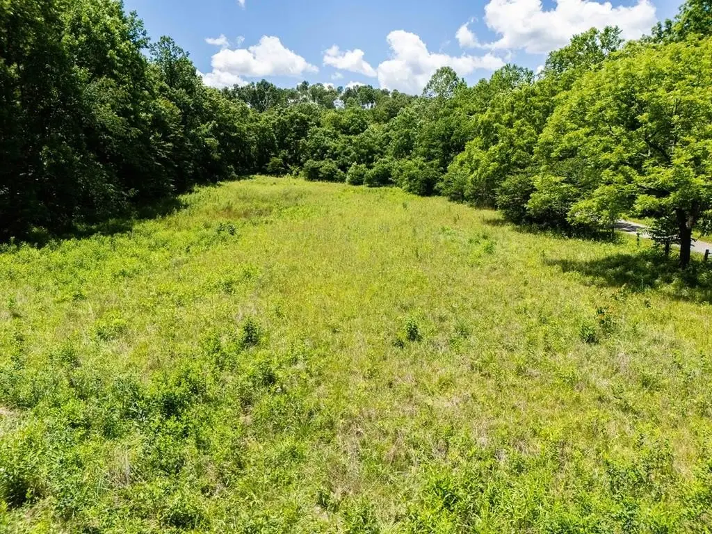
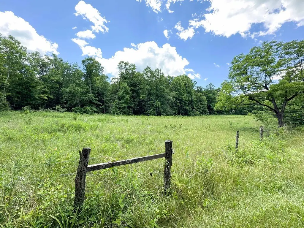
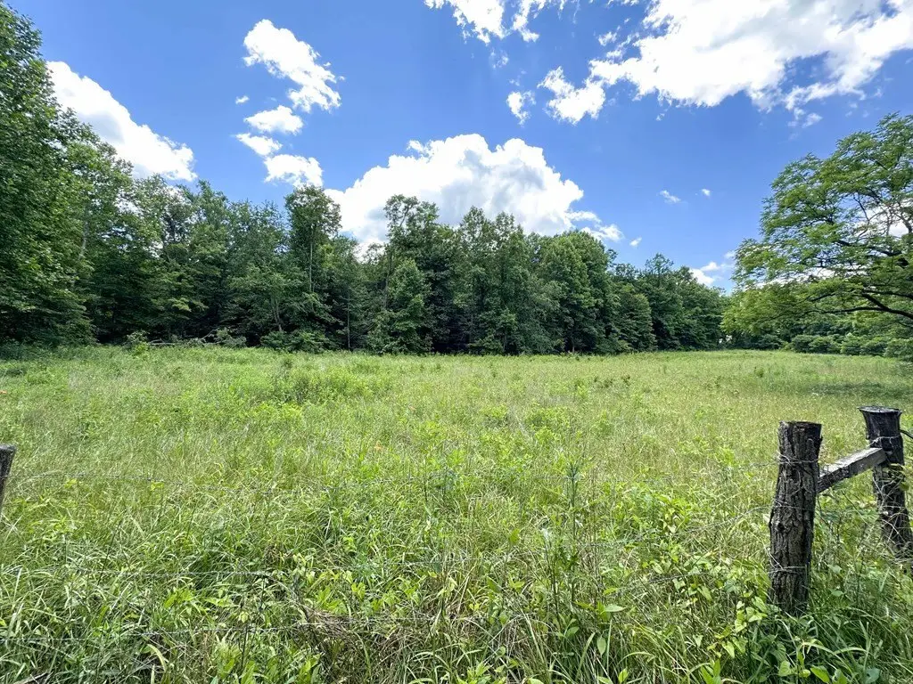
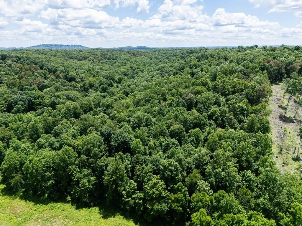
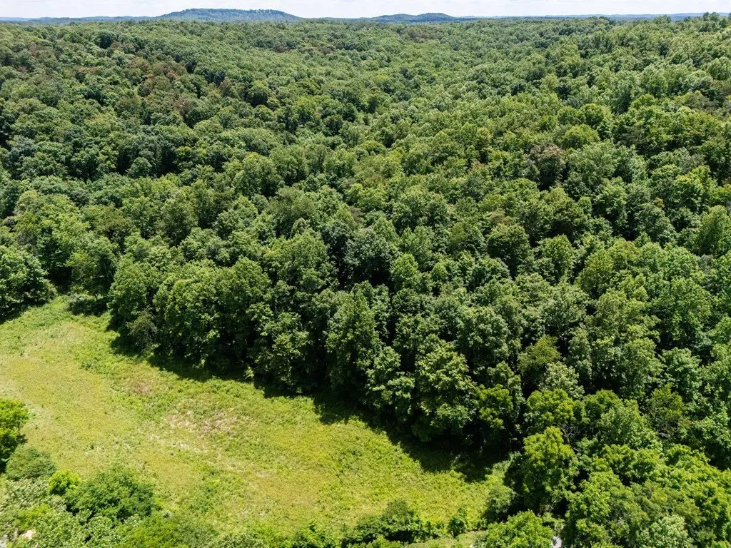
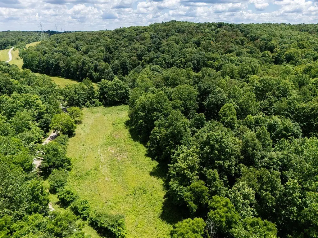
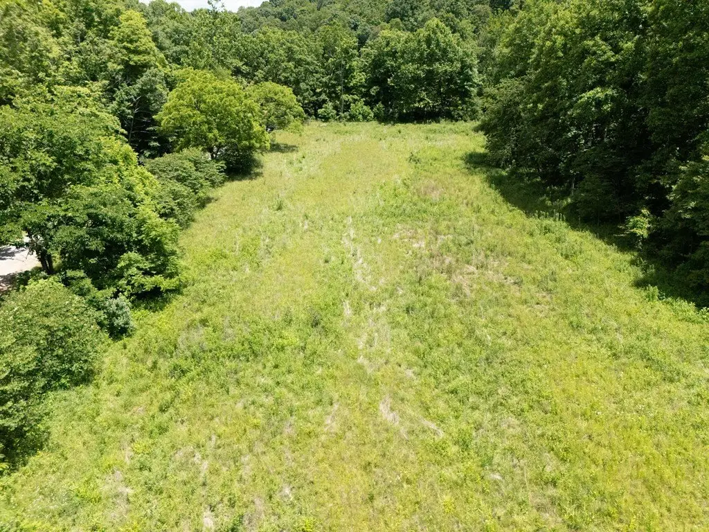
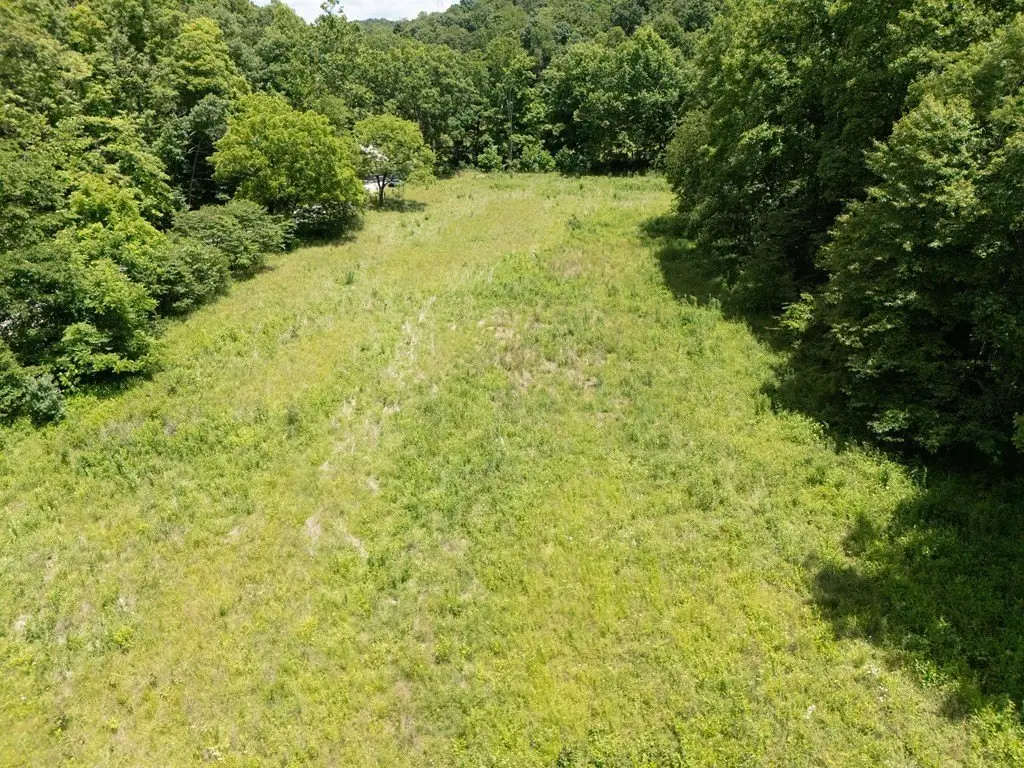
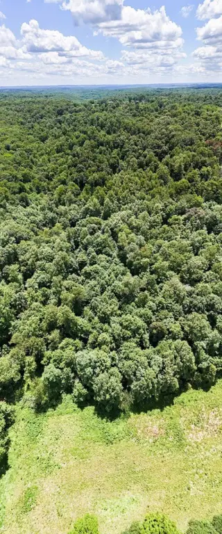
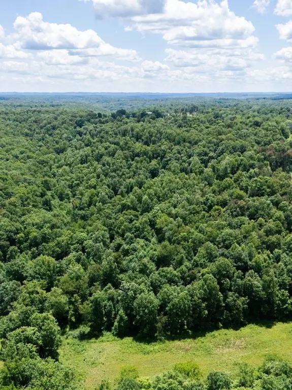
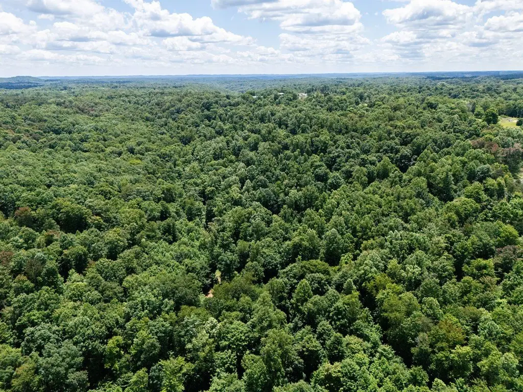
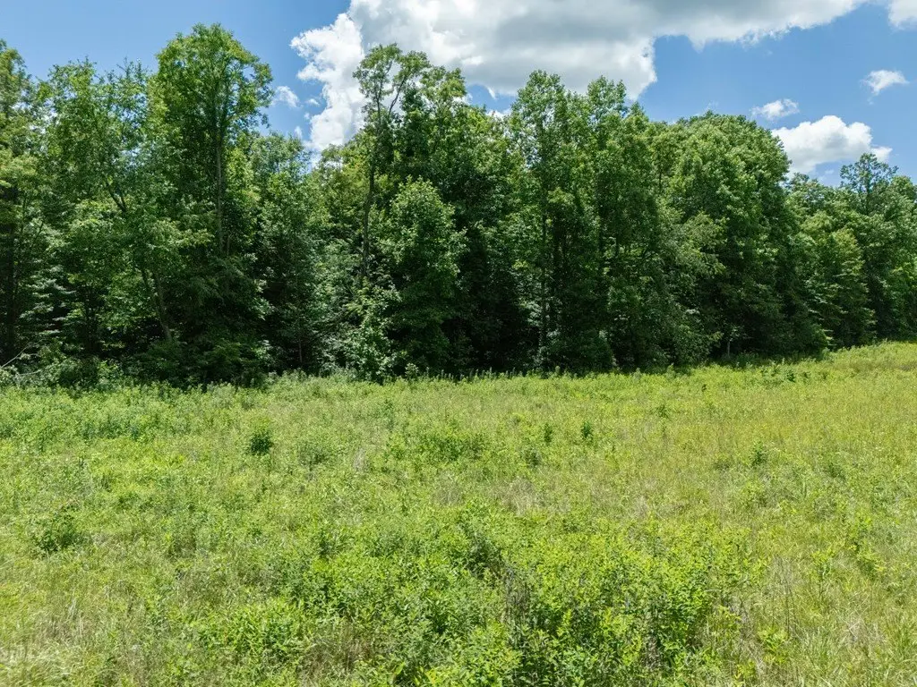
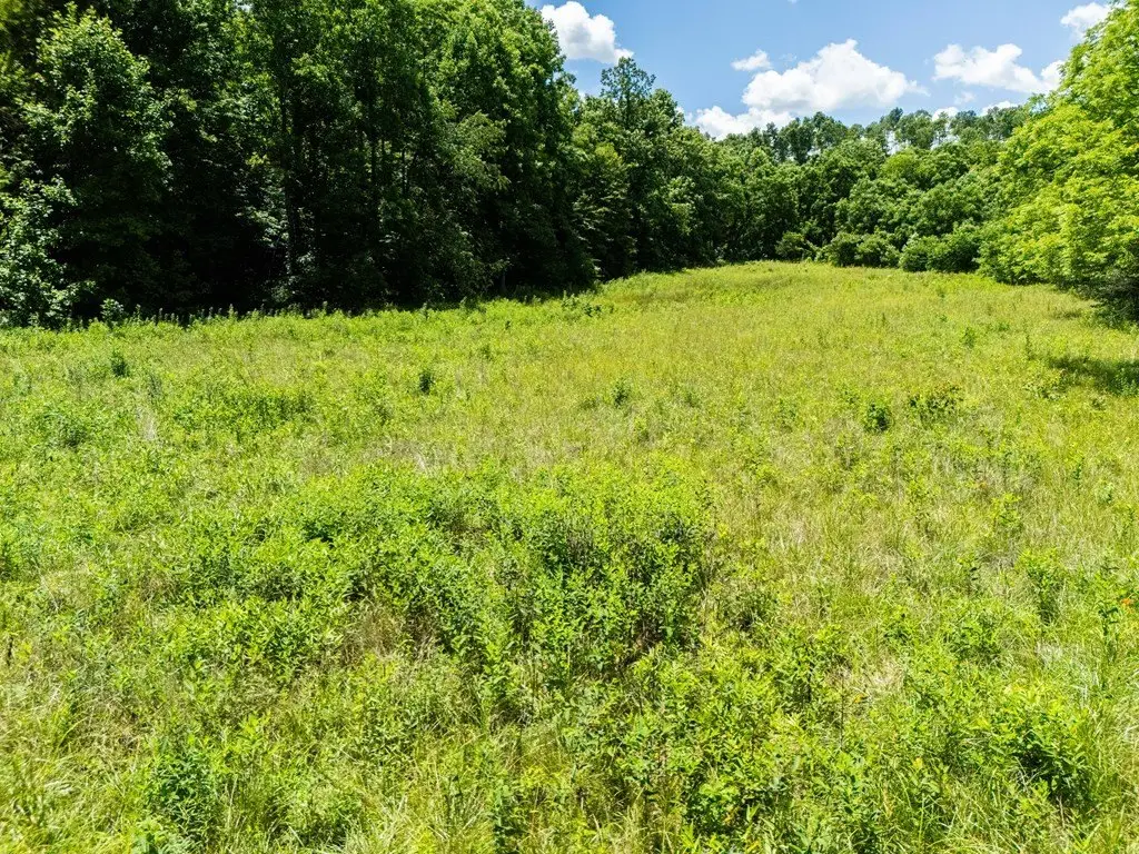
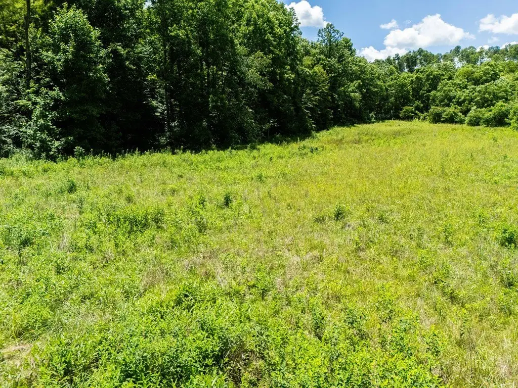
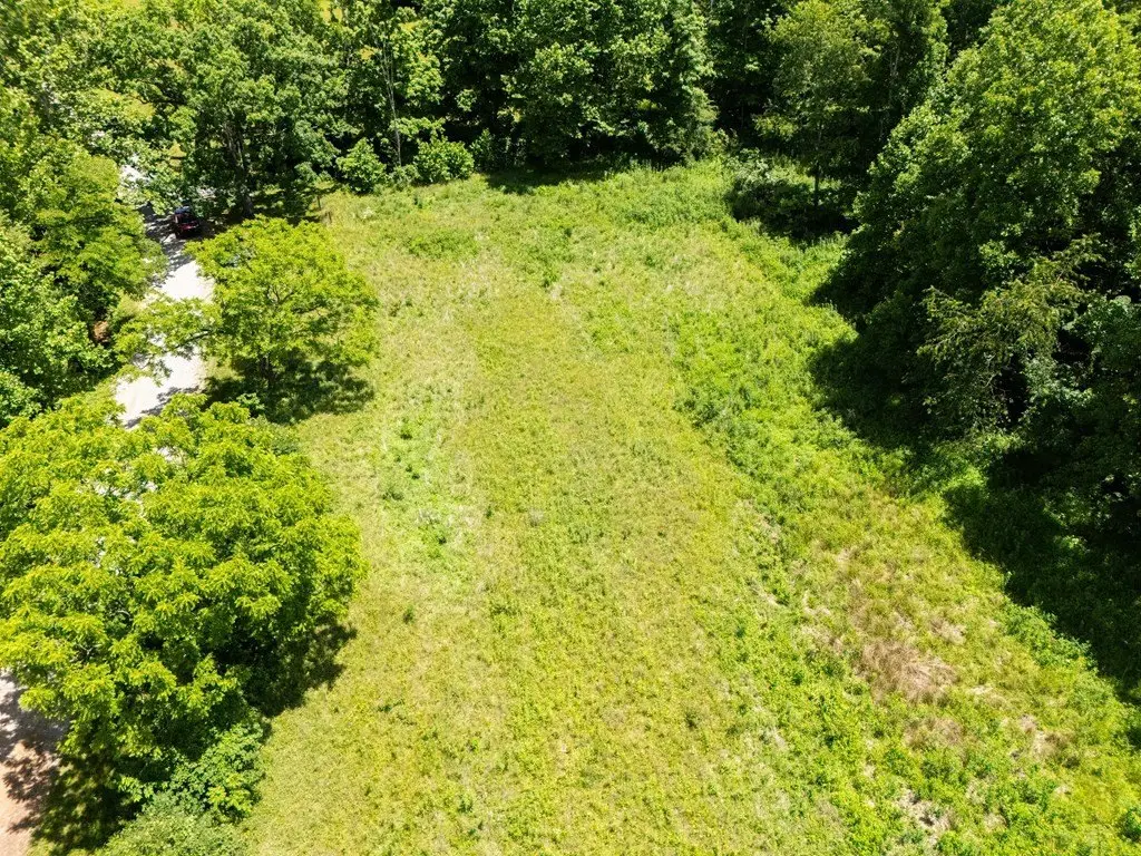
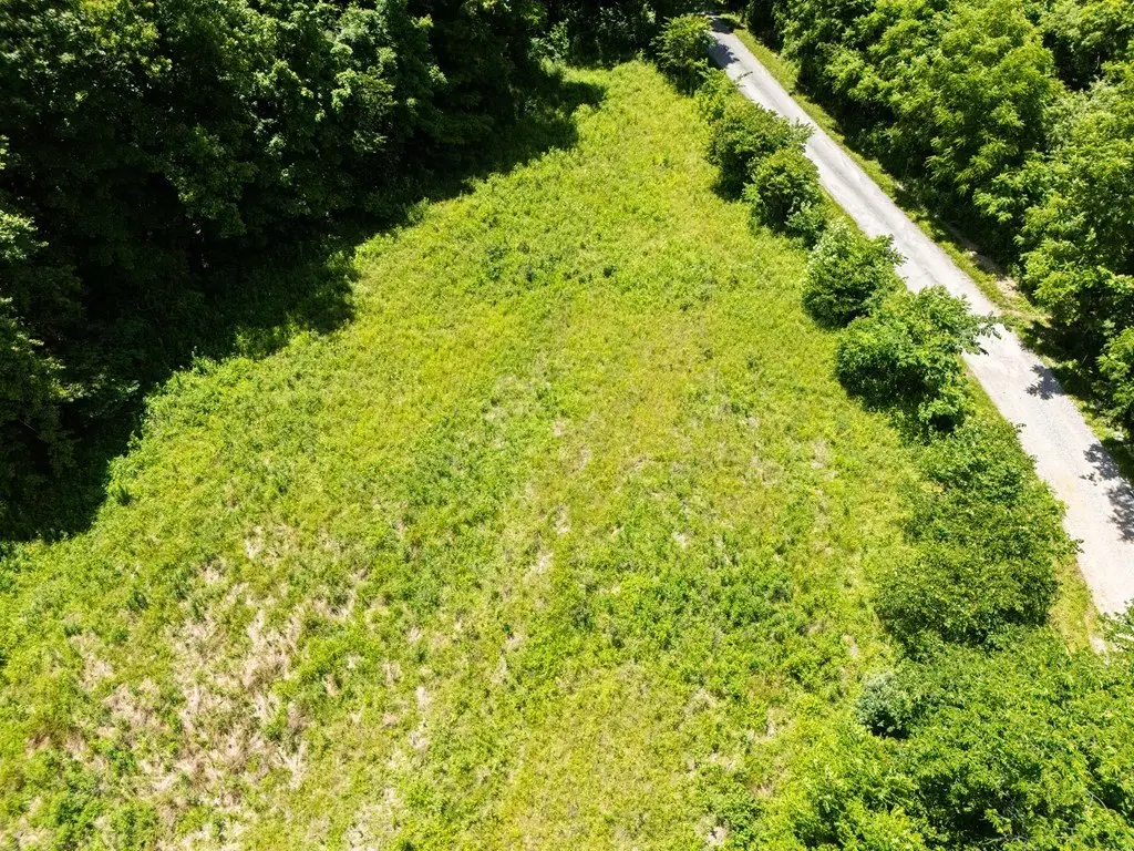
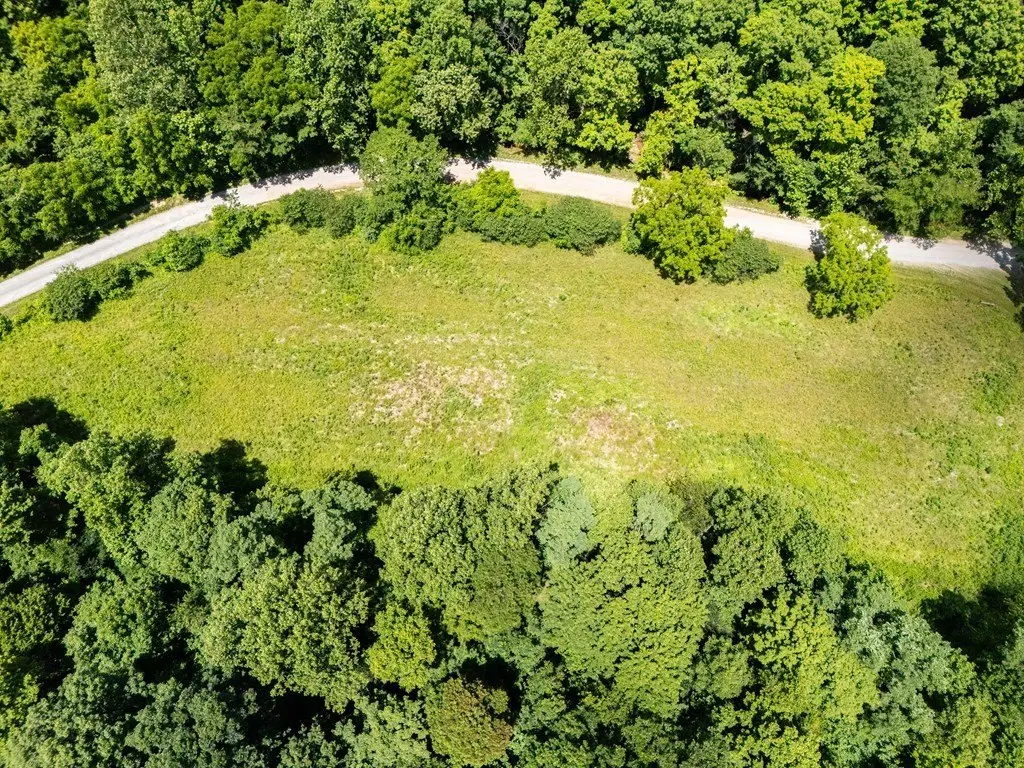
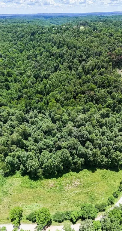
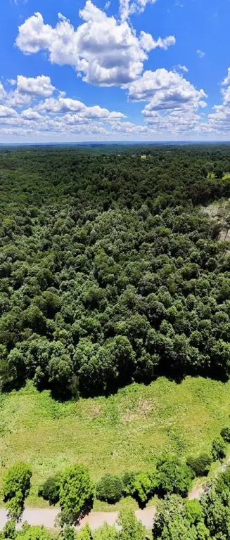
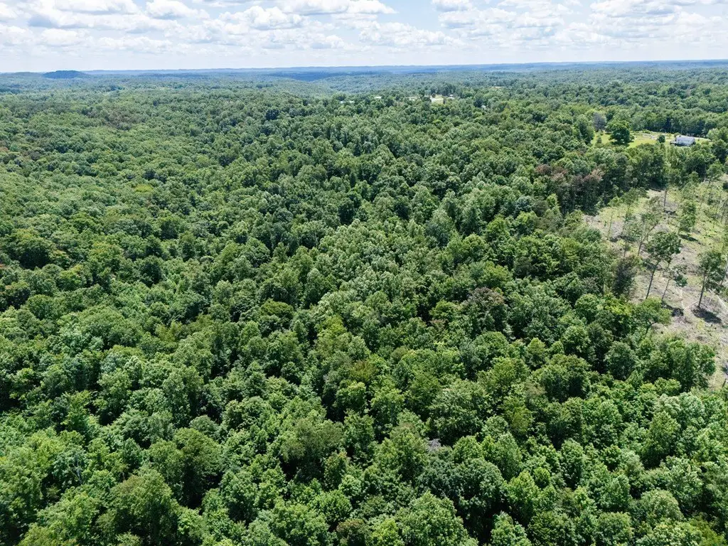
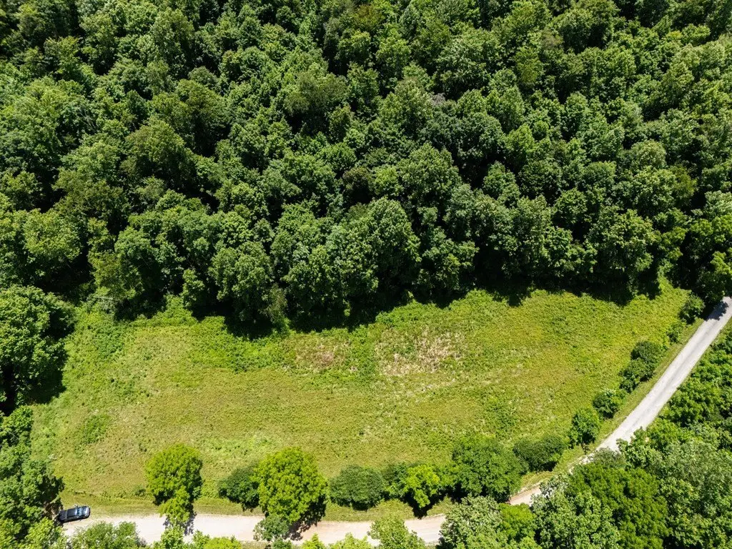
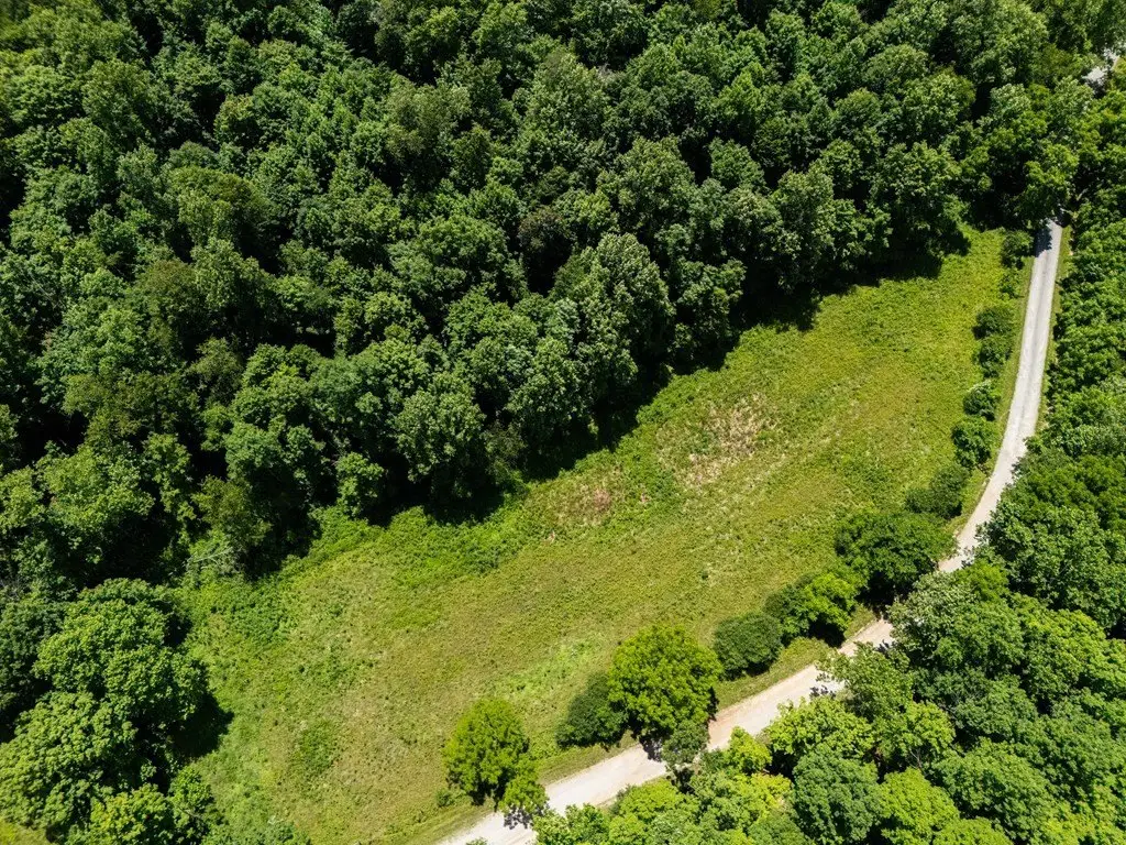
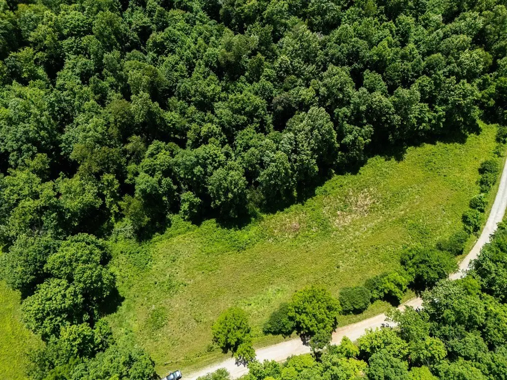
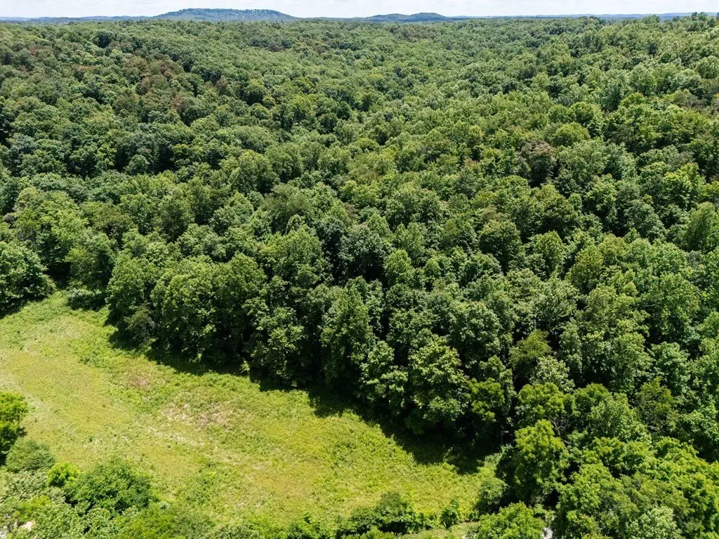
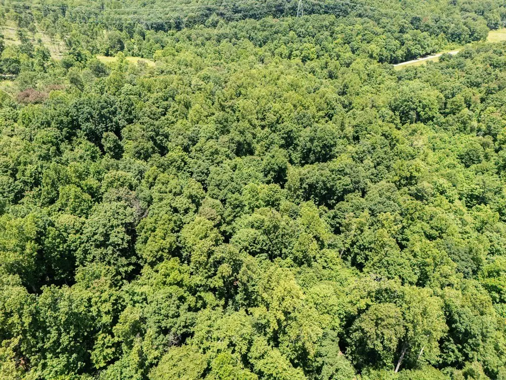
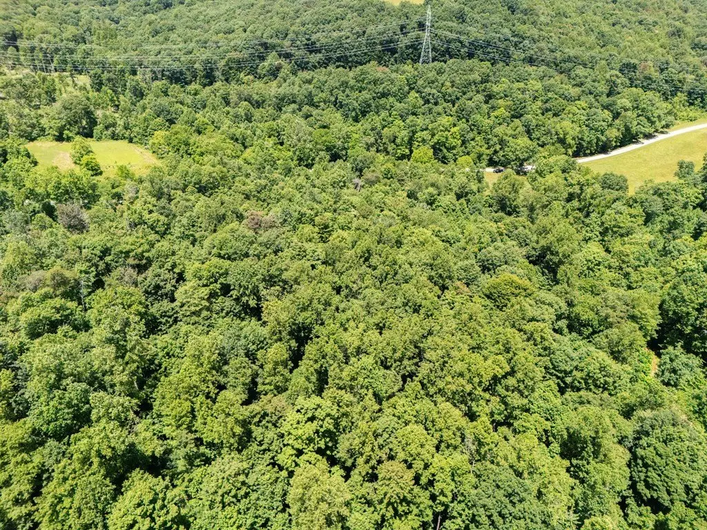
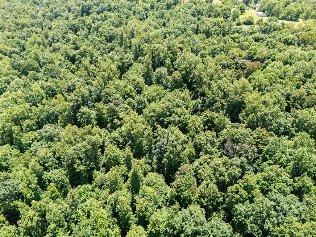
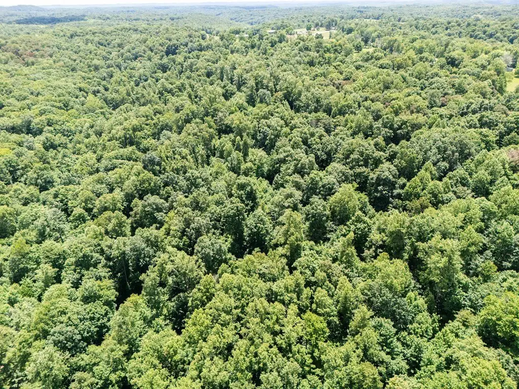
HighLights
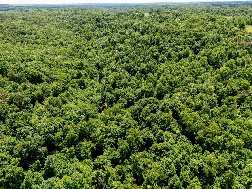
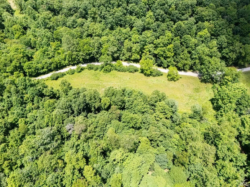
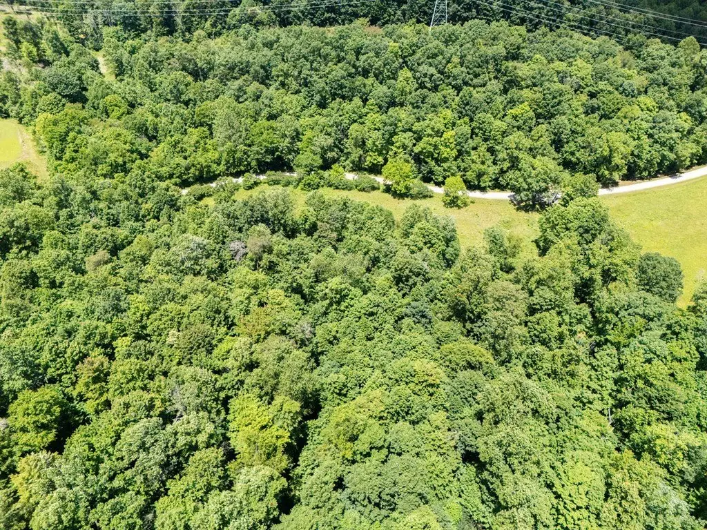
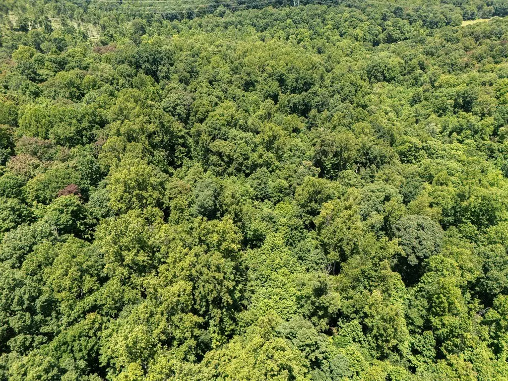
- Approximately 32 acres spanning both Scioto and Pike Counties
- Creek and gravel road run the entire length of the property
- Includes a portable hunting cabin and a detached outhouse
- Mix of open pasture and mature wooded acreage for multiple land‑use options
- Pasture suitable for livestock, hay production, and gardening
- Wooded areas provide privacy and wildlife habitat for hiking and hunting
Overview
The land is marketed as zoned “100 vacant land,” making it suited for flexible planning across agricultural, recreational, and residential intentions, subject to applicable approvals. The property is accessed via State Route 772 and Left Fork Road as provided in the listing information, with rural surroundings and a nature-forward setting.
For buyers looking for land that can accommodate livestock or hay production, the pasture area offers space for agricultural pursuits. For recreation-minded use, the wooded acreage and creek create a natural environment for hiking and hunting. The combination of open and wooded terrain, along with the on-site cabin and lengthwise gravel road, supports weekend and seasonal use as well as longer-term development plans, depending on each buyer’s goals and permitting path.
Current Use by Public Records
Map
- City
- Rarden
- County
- Scioto
- State
- Ohio
- Longitude
- -83.2441
- Latitude
- 38.958


