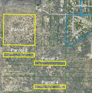
7018 Sweeter Road, Twin Lake, MI 49457
- Added:
- Jul 2, 2026
- Days on Market:
- 5
- Last Refresh:
- Jul 6 at 6:06 pm
Property Features for 7018 Sweeter Road
General Information
- Property type
- Land
- Property subtype
- Other
- Standard status
- Active
- APN
- 08-023-400-0003-10
- Lot size
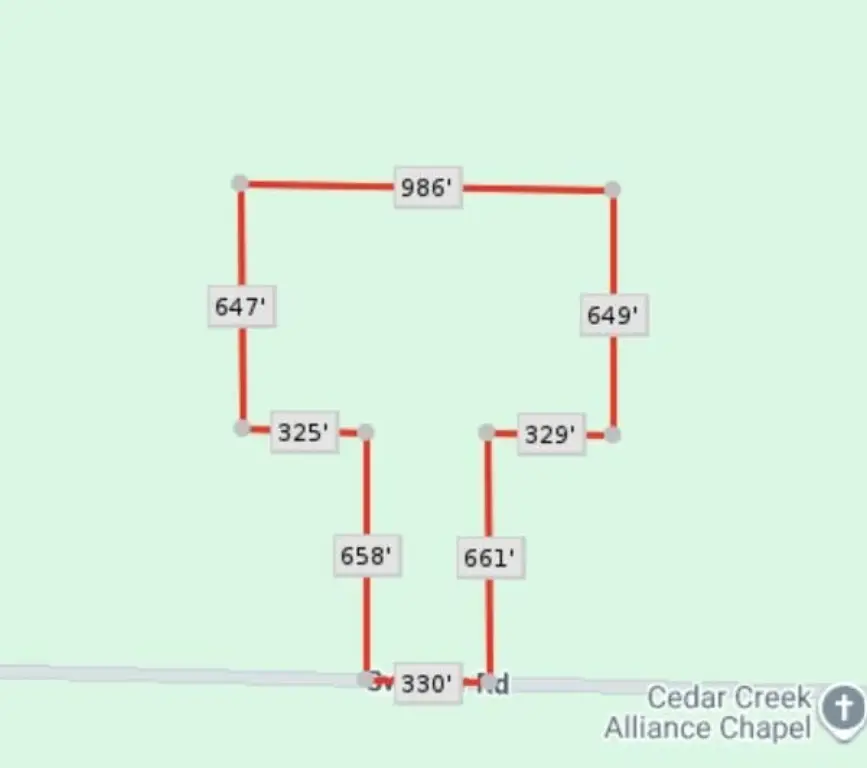
- 20.00 Acres
Taxes and HOA fees
- Tax Year
- 2025
- Tax Description
- CEDAR CREEK TOWNSHIP SECTION 23 T11N R15W W 1/2 OF SW 1/4 OF SE 1/4. EXCEPT THE EAST 330 FEET OF THE SOUTH 660 FEET OF THE WEST 1/2 OF THE SOUTHWEST 1/4 OF THE SOUTHEAST 1/4 ALSO:THAT PART OF SE1/4 OF SE 1/4 DESC AS FOL; BEG ON N/S 1/4 LINE N 01 DEG 40 MIN 43 SEC W 659.98 FT FRM S 1/4 COR OF SD SEC 23 TH N 89 DEG 59 MIN 35 SEC W 329.24 FT; TH ALG W LINE OF THE E 1/2 OF E 1/2 OF SE 1/4 OF SW 1/4 N
- Tax Annual Amount
- 3555
Utilities
- Utilities
- Electricity Available

Listing agent Brenda Nyblade Skujins License #6501403748 (231) 343-9966
Listing office Coldwell Banker Woodland Schmidt Muskegon 380 W Western, Suite 101, Muskegon, MI (231) 733-4455
Listing date Jul 2, 2026
Copyright © 2026 Michigan Regional Information Center, LLC. All rights reserved. All information provided by the listing agent/broker is deemed reliable but is not guaranteed and should be independently verified.
HighLights
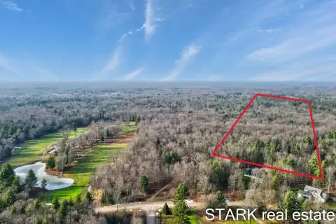
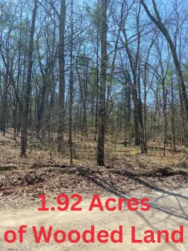
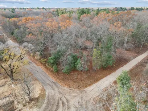
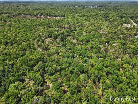
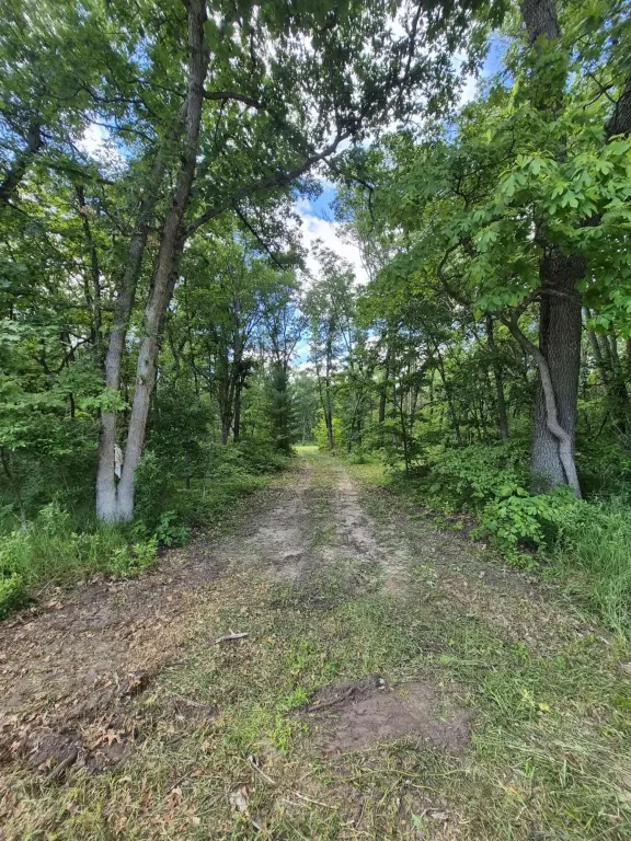
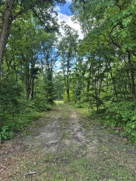
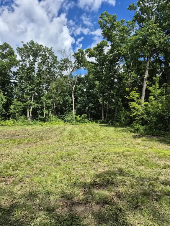
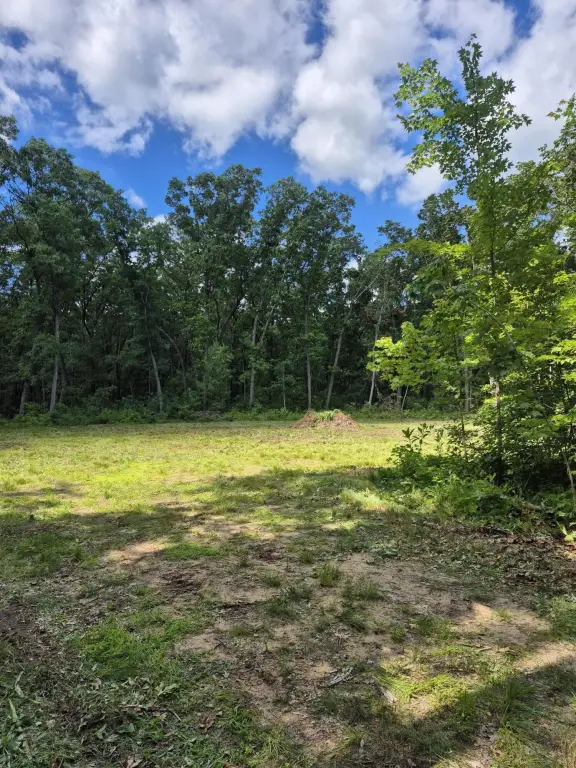
- 20 acres of wooded land in Cedar Creek Township with an established trail system throughout the property
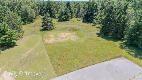
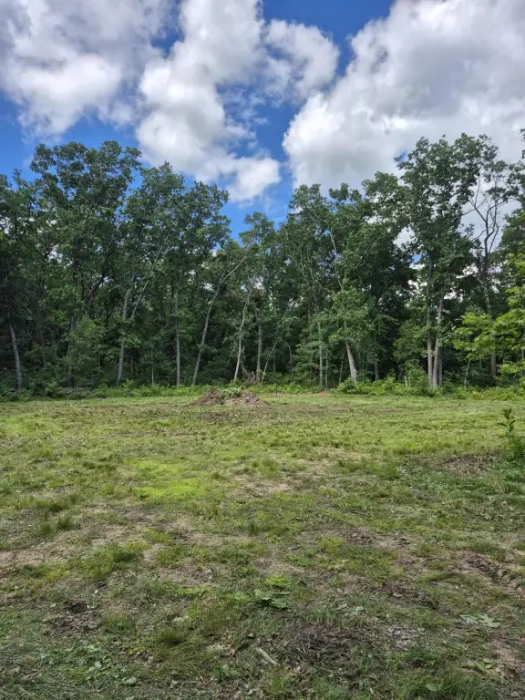
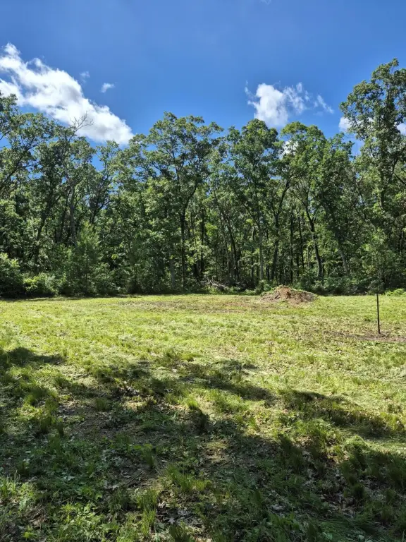
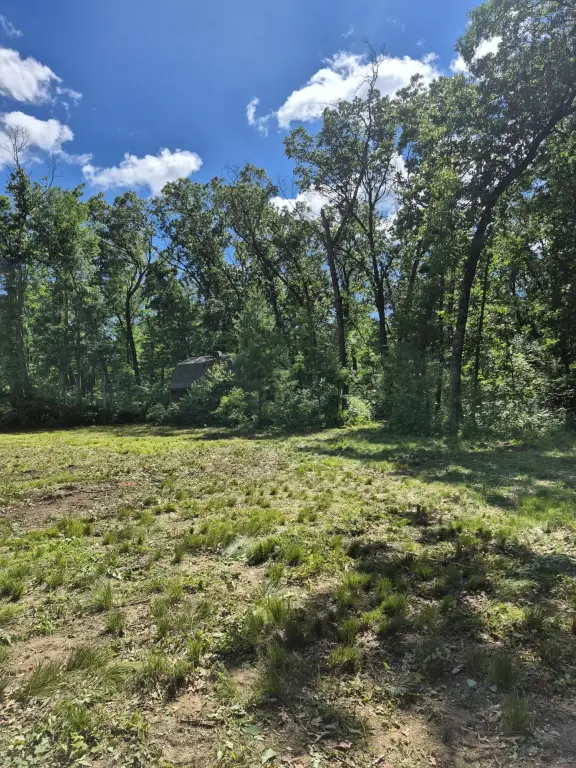
- Cleared 120x120 lot ready for a home build
- Groomed trails for hiking, ATV riding, and hunting
- Cleared driveway plus a completed survey of the entire property
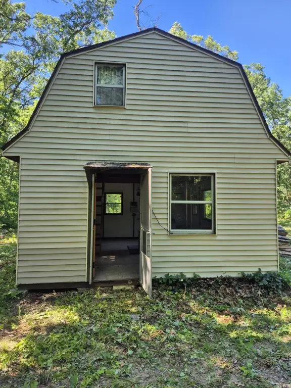
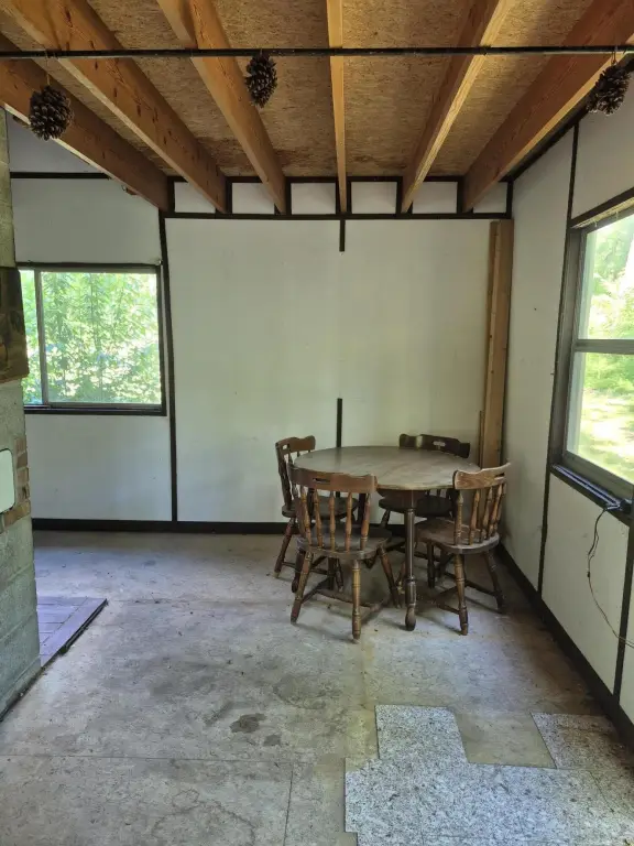
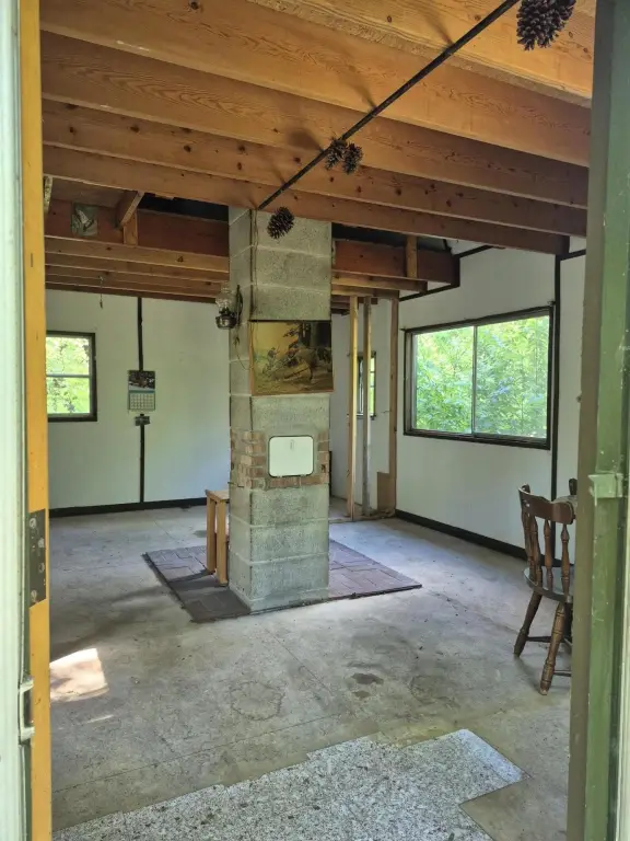
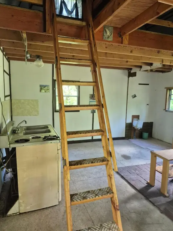
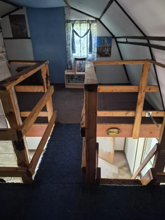
- Bunkhouse included for relaxing after outdoor activities
Overview
The land is positioned for private getaways and outdoor use in Muskegon County, Michigan. Improvements include a cleared 120x120 lot suitable for building and trail grooming that supports hiking, ATVs, or hunting on site.
For buyers seeking a secluded tract for recreational activities, this property provides ready-to-use trails and on-site lodging via the bunkhouse. For those planning to build, the cleared home lot and surveyed boundaries help streamline early development planning while preserving the surrounding wooded setting for ongoing trail-based recreation.
Current Use by Public Records
Location Insight
- Map
- Local Demand
- City
- Twin Lake
- County
- Muskegon
- State
- Michigan
- Longitude
- -86.068271
- Latitude
- 43.324525