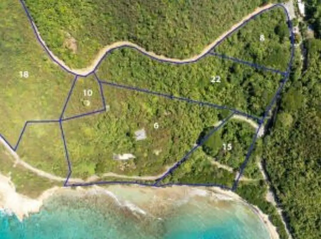
6 et al Hams Bay NA, Christiansted, VI 00840
- Added:
- Feb 9, 2026
- Days on Market:
- 149
- Last Refresh:
- Jul 8 at 5:06 pm
Property Features for 6 et al Hams Bay NA
General Information
- Property type
- Land
- Property subtype
- Other
- Zoning
- W-1
- Standard status
- Active
- Lot size
- 56.00 Acres
Taxes and HOA fees
- Tax Year
- 2024
- Tax Annual Amount
- 7213.5
Utilities
- Water front features
- Waterfront
- Water front
- 1
Building Details
- Architectural style
- Other
Listing agent Honnie M Edwards (340) 718-5285
Listing office Calabash Real Estate 4126 La Grande Princesse, Christiansted, VI 00820, VI (340) 718-5285
Listing date Feb 9, 2026
Copyright © 2026 St. Croix Board of Realtors. All rights reserved. All information provided by the listing agent/broker is deemed reliable but is not guaranteed and should be independently verified.
HighLights
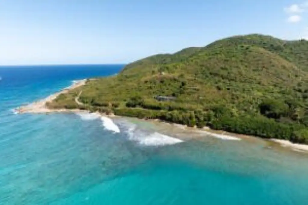
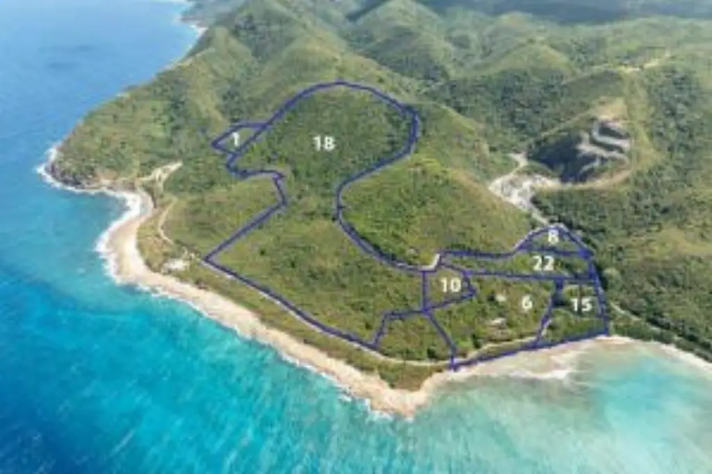
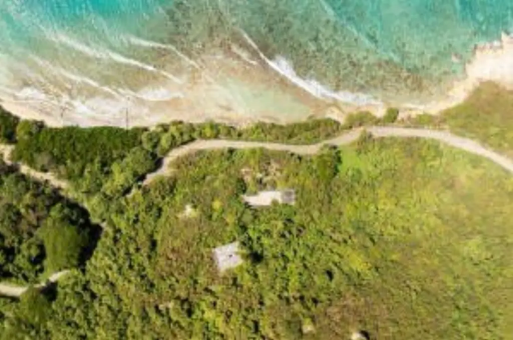
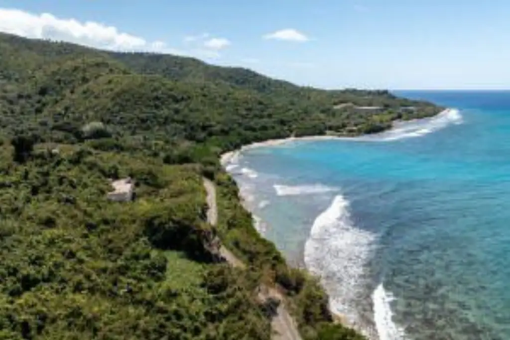
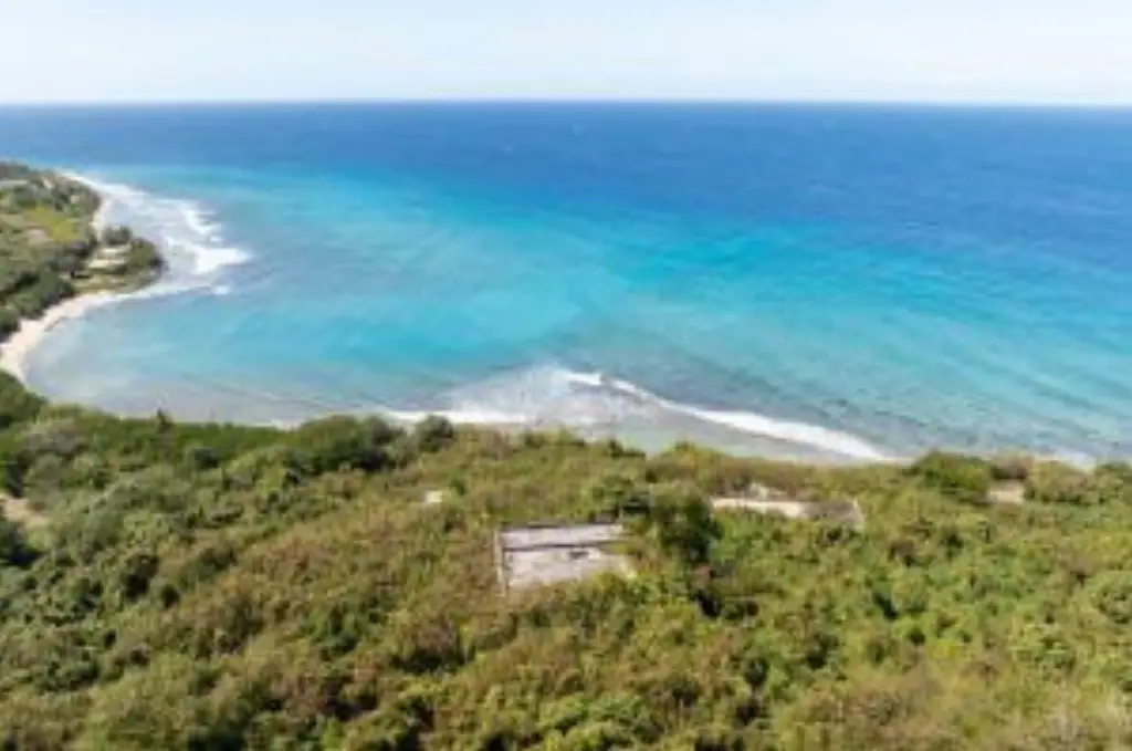
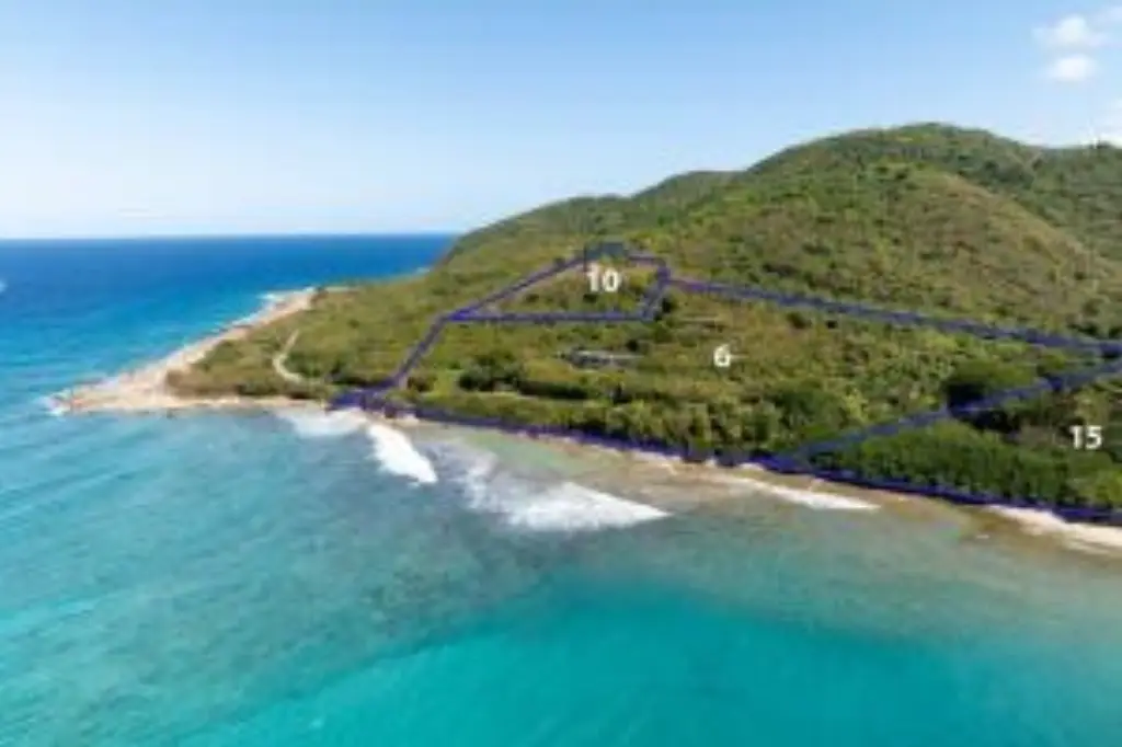
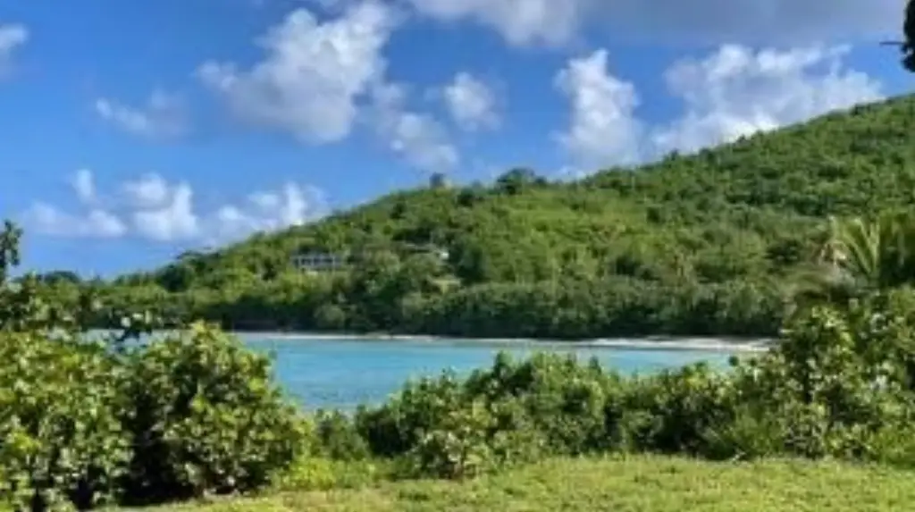
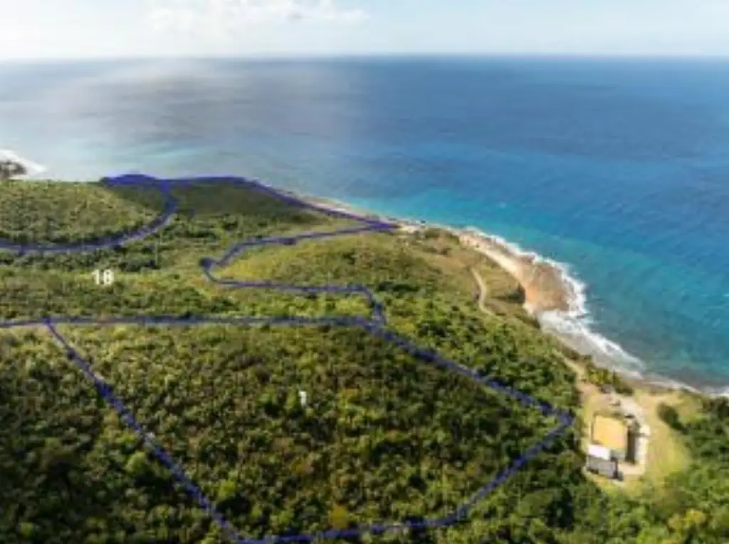
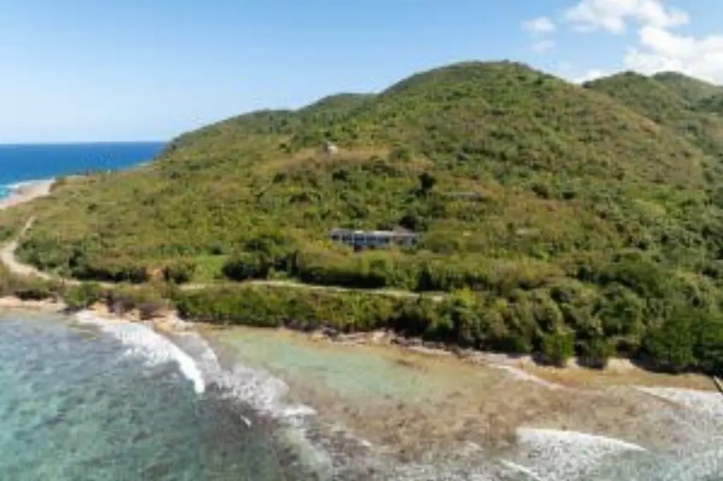
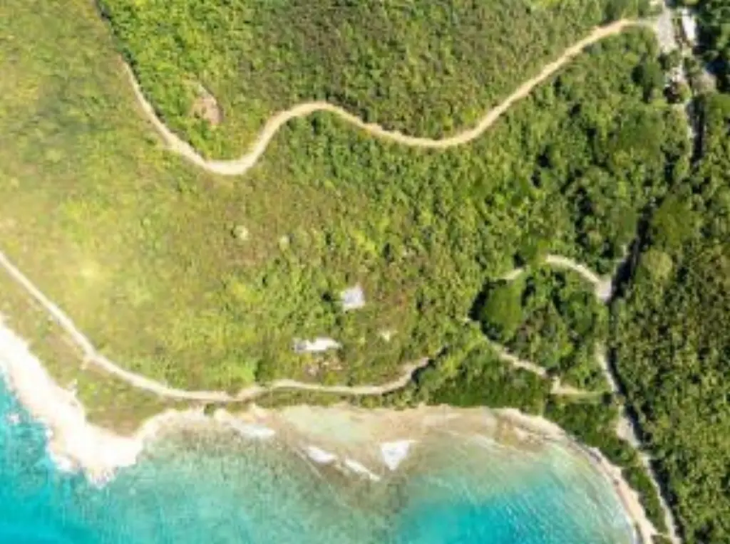
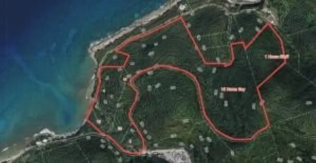
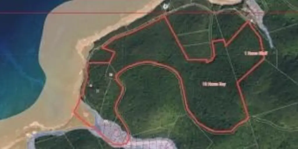
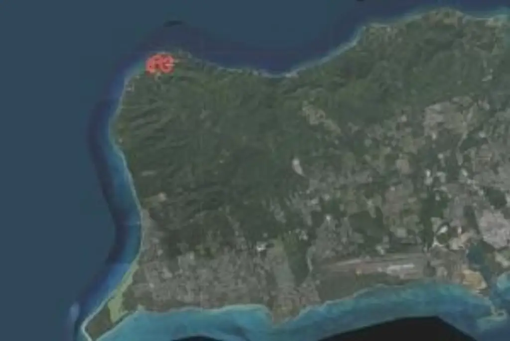
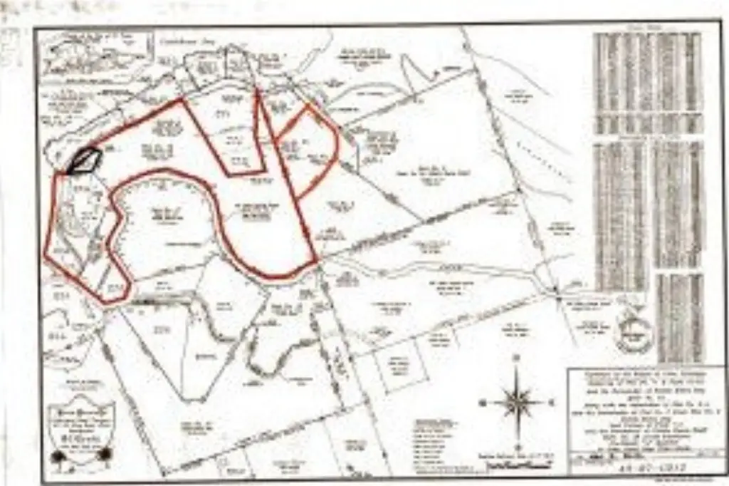
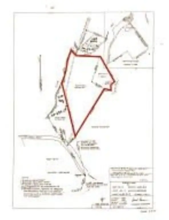
- 56+/- acre waterfront property on St. Croix’s northwestern tip with nearly 700 ft of waterfront along the coast
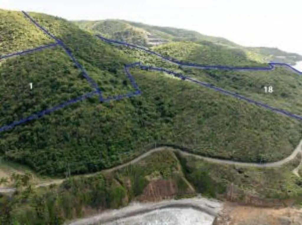
- Ocean views with sloping hillside lots and elevations from sea level up to approximately 540 ft
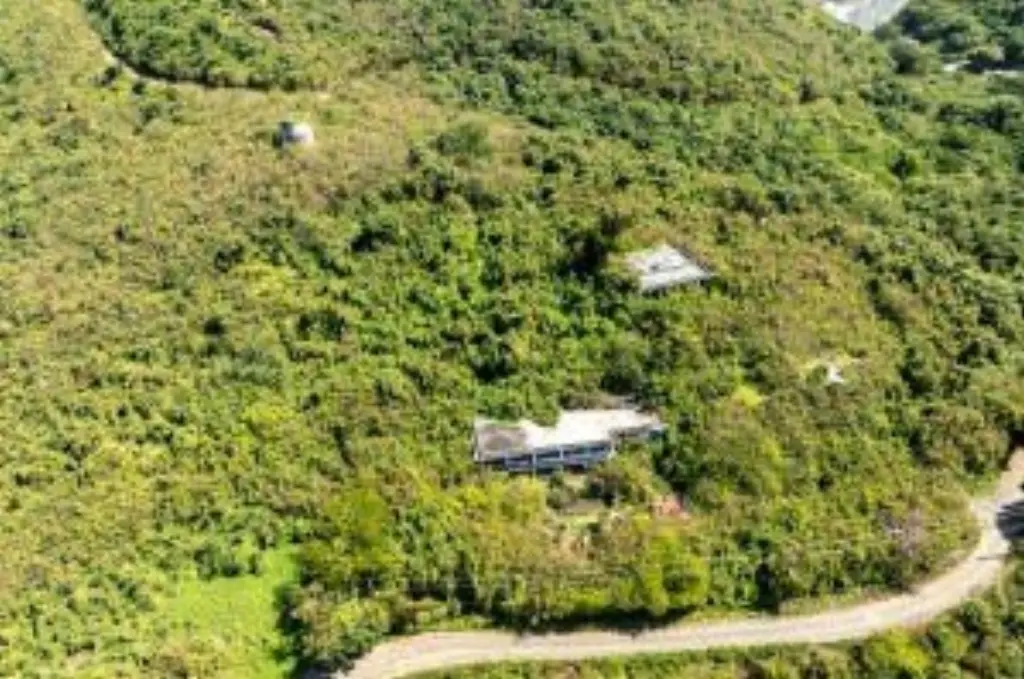
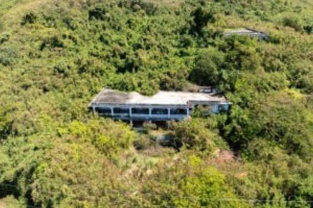
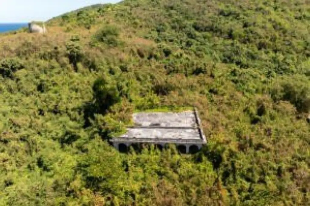
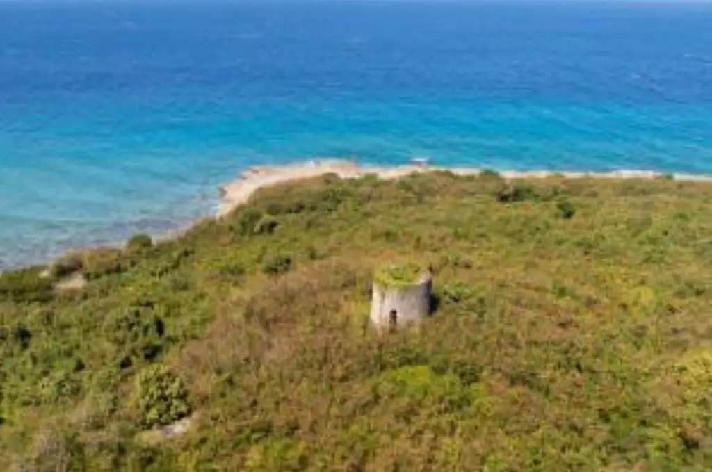
- Includes existing concrete structures: main building, three additional cottages, pool with a pool house, and a historic sugar mill
- Former Clover Crest Hotel property with two potential wells on‑site
- Multiple zoning classifications listed as W‑1, R‑3, and R‑1
- Extensive road frontage providing access to both upper and lower portions
Overview
The land is described as having extensive road frontage and provides access to both upper and lower portions of the property. Zoning classifications referenced include W-1, R-3, and R-1, offering multiple development and use directions to be confirmed during the permitting process.
For buyers and operators looking for a waterfront site with existing hospitality-oriented structures and site features that support redevelopment, renovation, or adaptive reuse, this property presents a defined physical base on a large, varied topography. Existing buildings, cottages, and recreational amenities may help shorten early planning timelines versus acquiring raw land alone, while the dual access across elevations can support phased planning approaches subject to approvals.
Current Use by Public Records
Map
- City
- Christiansted
- County
- St. Croix
- State
- VI
- Longitude
- -64.87898
- Latitude
- 17.764079