5700 Block Pine Forest Rd, Walnut Hill, FL 32568
- Added:
- Sep 27, 2024
- Days on Market:
- 625
- Last Refresh:
- Jun 13 at 11:06 am
Property Features for 5700 Block Pine Forest Rd
General Information
- Property type
- Land
- Property subtype
- Other
- Standard status
- Active
- APN
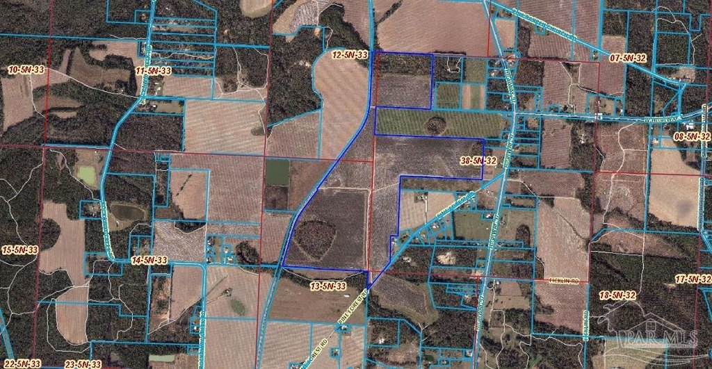
- 385N333301000000
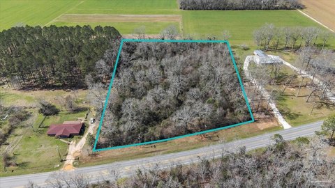
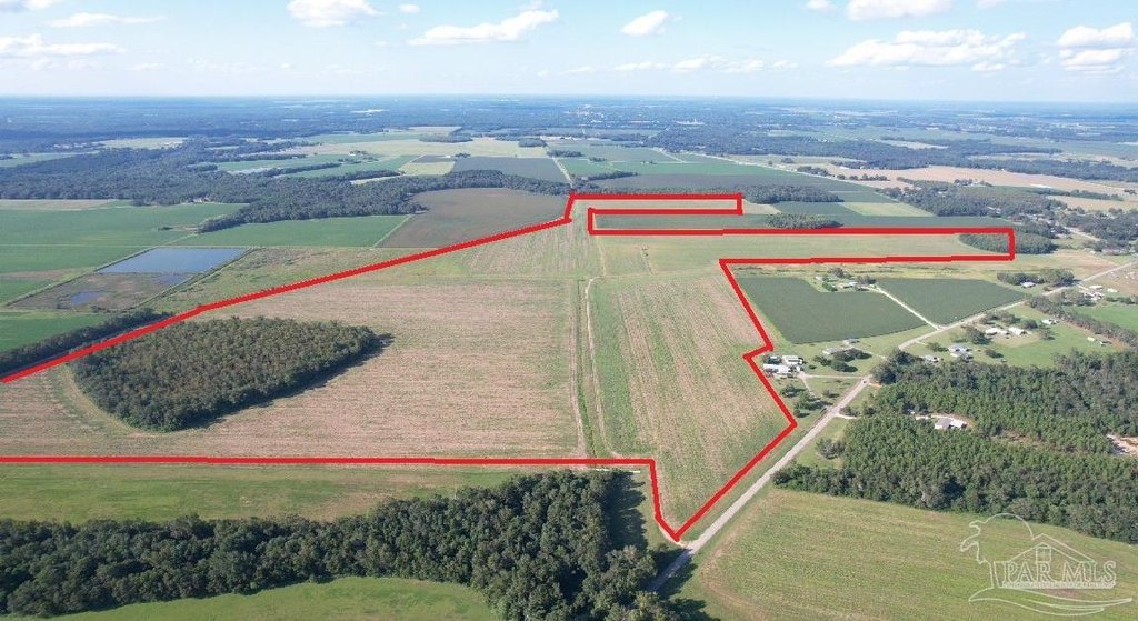
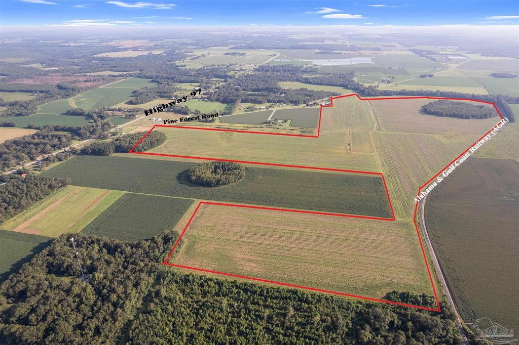
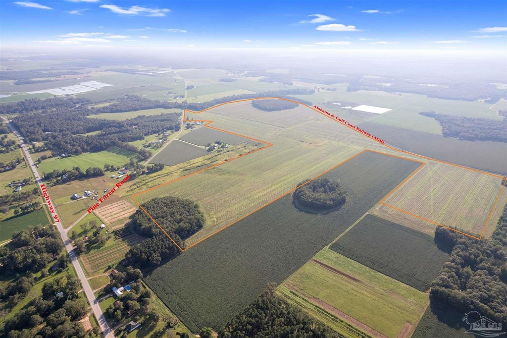
- Lot size
- 248.00 Acres
Taxes and HOA fees
- Tax Description
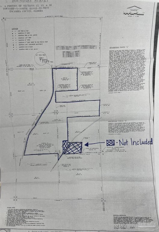
- BEGINNING AT THE SOUTHWEST CORNER OF SECTION 38, TOWNSHIP 5 NORTH, RANGE 33 WEST, ESCAMBIA COUNTY, FLORIDA; THENCE SOUTH 89 DEGREES 52 MINUTES 46 SECONDS WEST ALONG THE SOUTH LINE OF THE NORTHWEST 1/4 OF SECTION 13, TOWNSHIP 5 NORTH, RANGE 33 WEST A DISTANCE OF 2117.40 FEET TO THE EASTERLY R/W LINE OF BURLINGTON NORTHERN RAILROAD (R/ W VARIES); THENCE GO ALONG SAID EASTERLY R/W LINE THE FOLLOWING 7 COURSES: NORTH 14 DEGREES 00 MINUTES 09 SECONDS EAST A DISTANCE OF 881.76 FEET TO THE POINT OF CURVATURE OF A CURVE; THENCE ALONG SAID CURVE, TURNING TO THE RIGHT WITH AN ARC LENGTH OF 634.32 FEET, WITH A RADIUS OF 1628.62 FEET, WITH A CHORD BEARING OF NORTH 23 DEGREES 25 MINUTES 21 SECONDS EAST, WITH A CHORD LENGTH OF 630.32 FEET TO THE POINT OF TANGENCY; THENCE GO NORTH 34 DEGREES 05 MINUTES 26 SECONDS EAST A DISTANCE OF 572.31 FEET; THENCE GO NORTH 00 DEGREES 15 MINUTES 59 SECONDS WEST A DISTANCE OF 44.30 FEET; THENCE GO NORTH 34 DEGREES 05 MINUTES 26 SECONDS EAST A DISTANCE OF 1633.18 FEET TO THE POINT OF CURVATURE OF A CURVE; THENCE ALONG SAID CURVE, TURNING TO THE LEFT WITH AN ARC LENGTH OF 940.42 FEET, WITH A RADIUS OF 1456.57 FEET, WITH A CHORD BEARING OF NORTH 15 DEGREES 37 MINUTES 49 SECONDS EAST, WITH A CHORD LENGTH OF 924.17 FEET TO THE POINT OF TANGENCY; THENCE GO NORTH 00 DEGREES 05 MINUTES 40 SECONDS EAST A DISTANCE OF 1110.44 FEET TO THE NORTH LINE OF THE SOUTHWEST 1/4 OF SECTION 12, TOWNSHIP 5 NORTH, RANGE 33 WEST; THENCE GO SOUTH 89 DEGREES 54 MINUTES 30 SECONDS EAST ALONG SAID LINE A DISTANCE OF 151.17 FEET TO THE NORTHWEST CORNER OF SAID SECTION 38; THENCE GO SOUTH 89 DEGREES 44 MINUTES 28 SECONDS EAST, ALONG THE NORTH LINE OF SECTION 38 A DISTANCE OF 1323.97 FEET TO THE NORTHEAST CORNER OF THE NORTHWEST 1/4 OF THE NORTHWEST 1/4 OF SECTION 38; THENCE GO SOUTH 00 DEGREES 05 MINUTES 11 SECONDS WEST A DISTANCE OF 1332.48 FEET TO THE SOUTHEAST CORNER OF THE NORTHWEST 1/4 OF THE NORTHWEST 1/4 OF SECTION 38; THENCE GO SOUTH 89 DEGREES 36 MINUTES 34 SECONDS WEST A DISTANCE OF 1320.16 FEET TO THE SOUTHWEST CORNER OF THE NORTHWEST 1/4 OF THE NORTHWEST 1/4 OF SECTION 38; THENCE GO SOUTH 00 DEGREES 40 MINUTES 04 SECONDS EAST A DISTANCE OF 662.47 FEET; THENCE GO NORTH 89 DEGREES 36 MINUTES 49 SECONDS EAST A DISTANCE OF 2674.80 FEET TO THE RANGE LINE OF RANGE 33 WEST AND RANGE 32 WEST; THENCE GO SOUTH 03 DEGREES 51 MINUTES 02 SECONDS WEST ALONG SAID RANGE LINE A DISTANCE OF 655.39 FEET; THENCE GO SOUTH 00 DEGREES 25 MINUTES 27 SECONDS EAST A DISTANCE OF 331.21 FEET; THENCE GO SOUTH 89 DEGREES 47 MINUTES 24 SECONDS WEST A DISTANCE OF 1981.09 FEET; THENCE GO SOUTH 00 DEGREES 46 MINUTES 51 SECONDS EAST A DISTANCE OF 1654.05 FEET; THENCE GO NORTH 88 DEGREES 15 MINUTES 14 SECONDS EAST A DISTANCE OF 163.69 FEET; THENCE GO SOUTH 36 DEGREES 54 MINUTES 26 SECONDS WEST A DISTANCE OF 1383.36 FEET TO THE WEST LINE OF THE SOUTHEAST 1/4 OF SECTION 13; THENCE GO NORTH 00 DEGREES 18 MINUTES 27 SECONDS WEST ALONG SAID WEST LINE A DISTANCE OF 438.78 FEET TO THE NORTHWEST CORNER OF SAID SOUTHEAST 1/4 OF SECTION 13, ALSO BEING THE SOUTHWEST CORNER OF SECTION 38 AND THE POINT OF BEGINNING OR 7704 P 100/103/106 OR 7771 P 923/925/927 LESS S 25 FT OFSW 1/4 OF NW 1/4 LYING E OF RR R/W SEC 13 LESS OR 7675 P 396/399/402 SCHNEIDER LESS OR 7819 P 1418 WARD BRETT SEC 12/13/38 T 5N R 33
Utilities
- Water source
- Public
- Water front features
- Waterfront

Listing agent Patty Helton Davis License #8210 (251) 294-2060
Listing office PHD Real Estate, LLC 1812 S Main Street, Atmore, FL (251) 368-1063
Listing date Sep 27, 2024
Copyright © 2026 Pensacola Association of REALTORS. All rights reserved. All information provided by the listing agent/broker is deemed reliable but is not guaranteed and should be independently verified.
HighLights
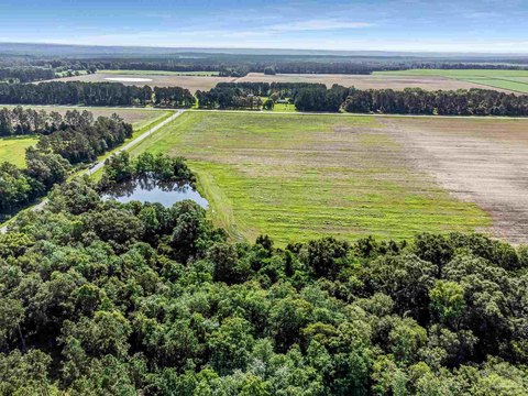
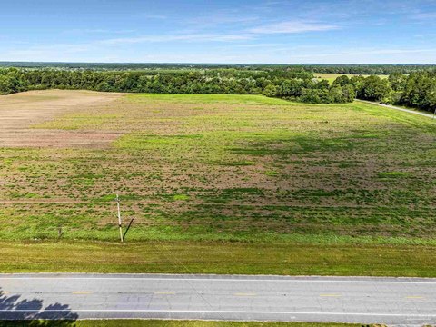
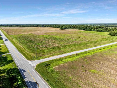
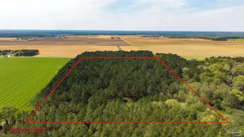
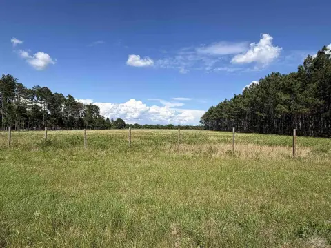
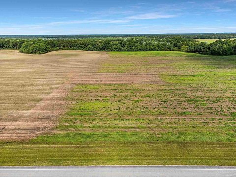
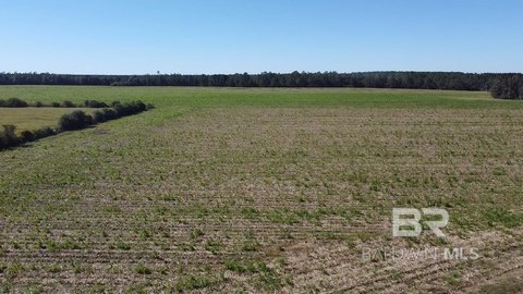
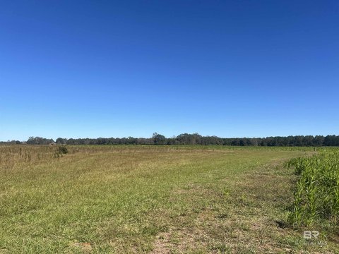
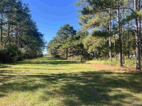
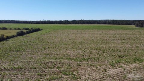
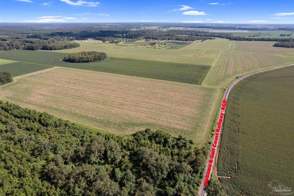
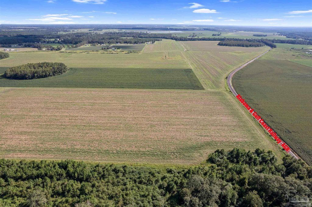
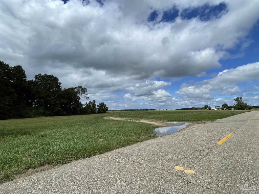
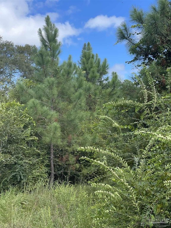
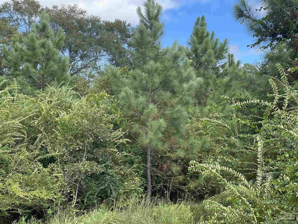
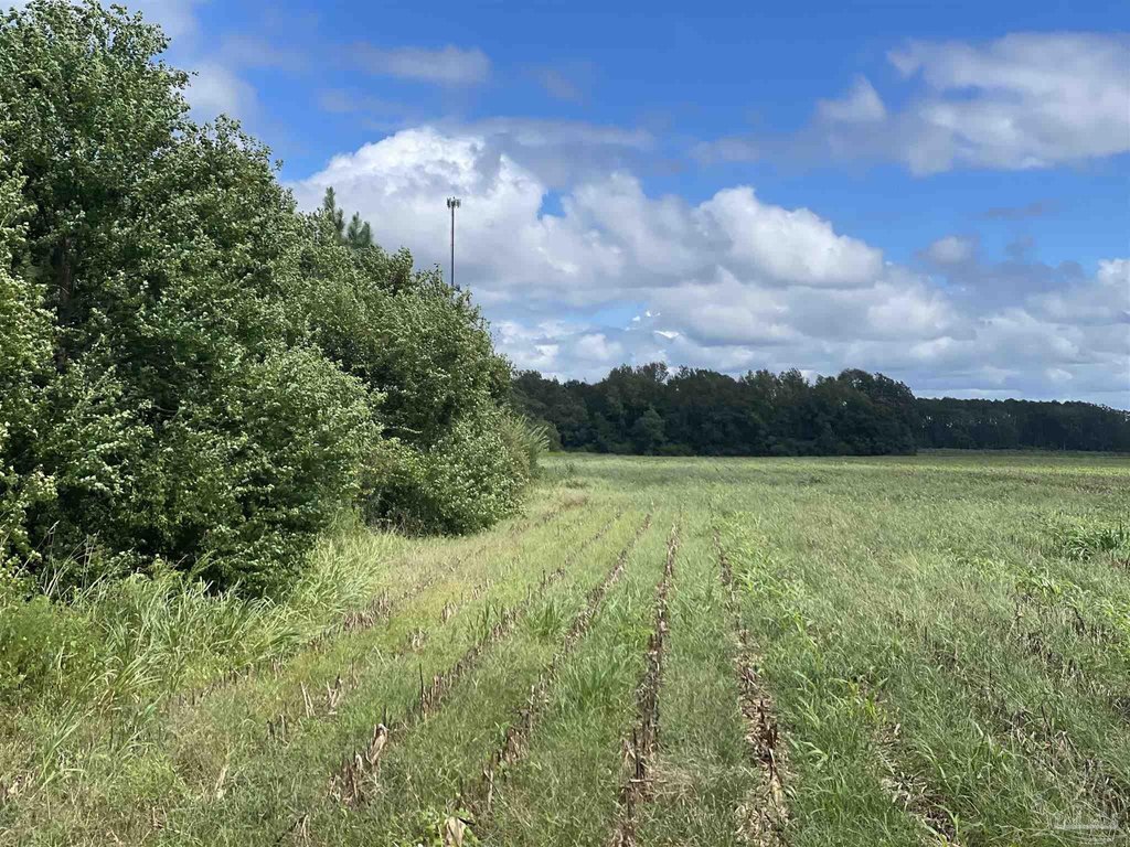
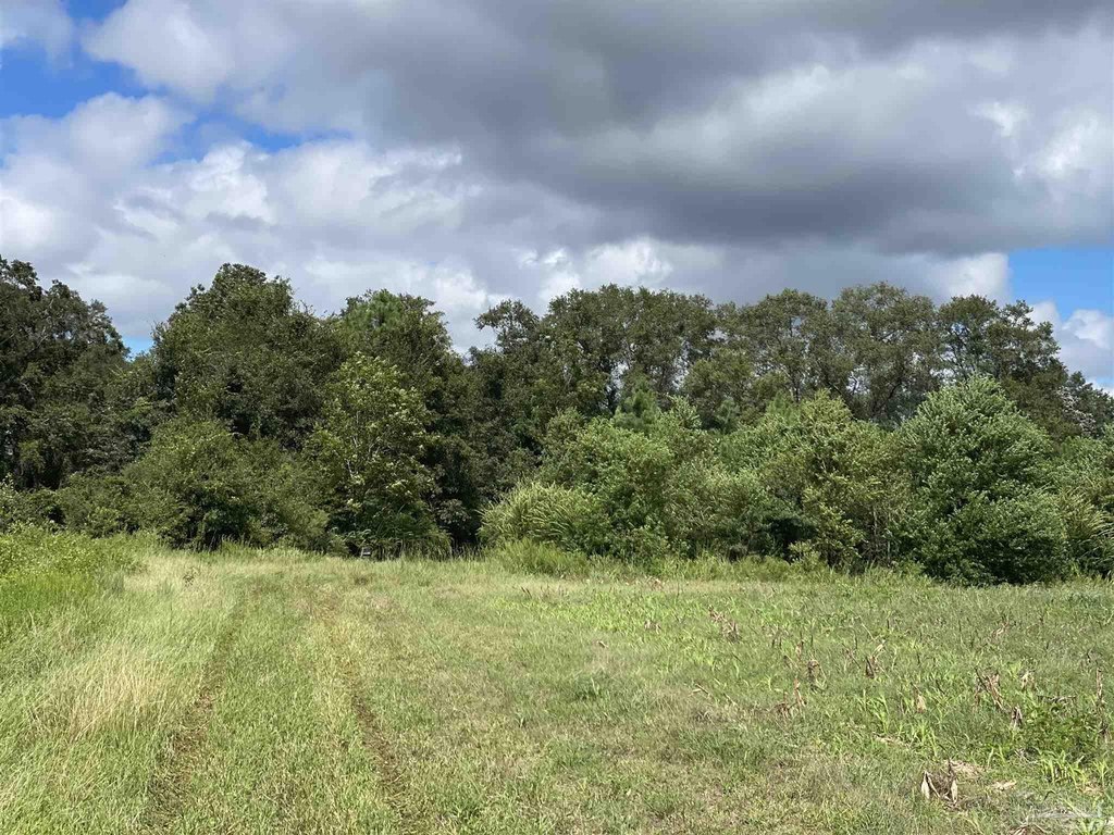
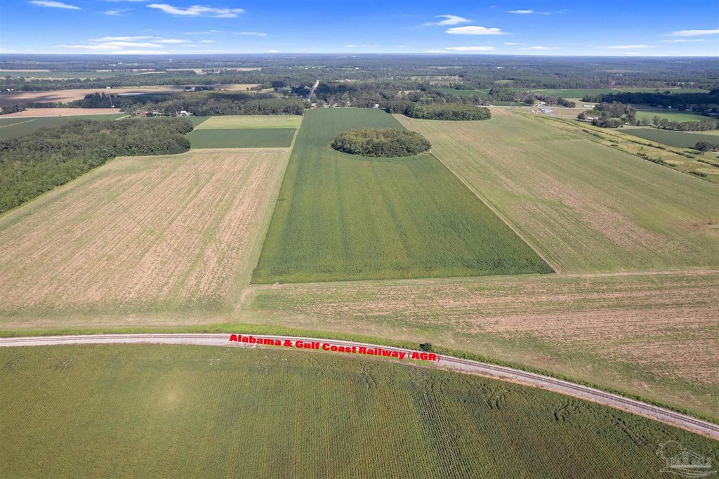
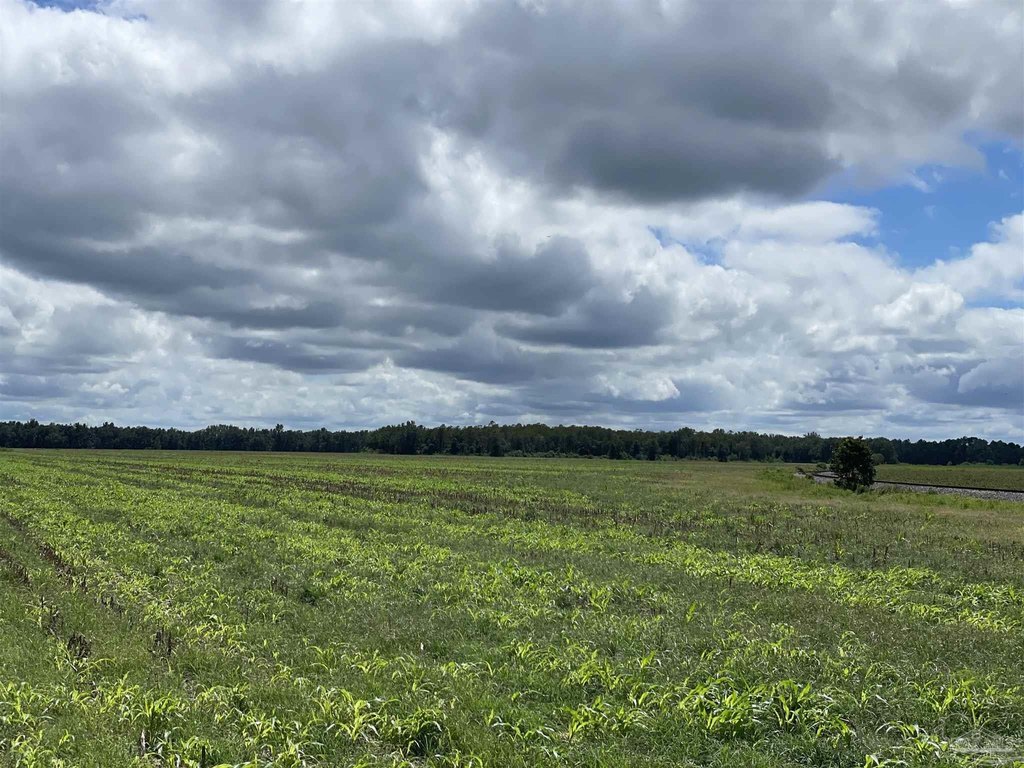
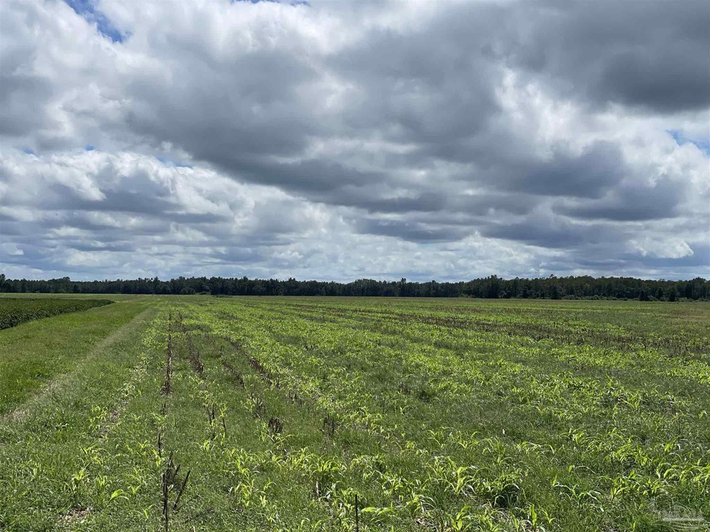
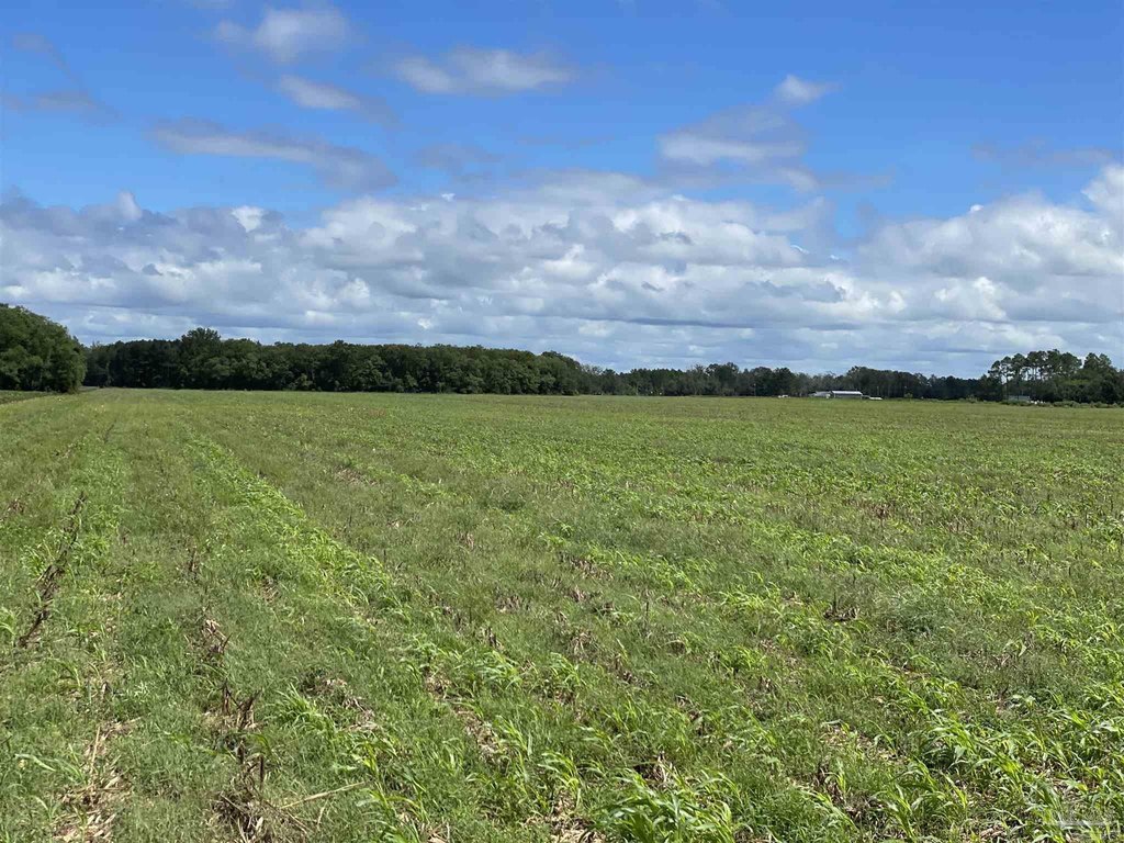
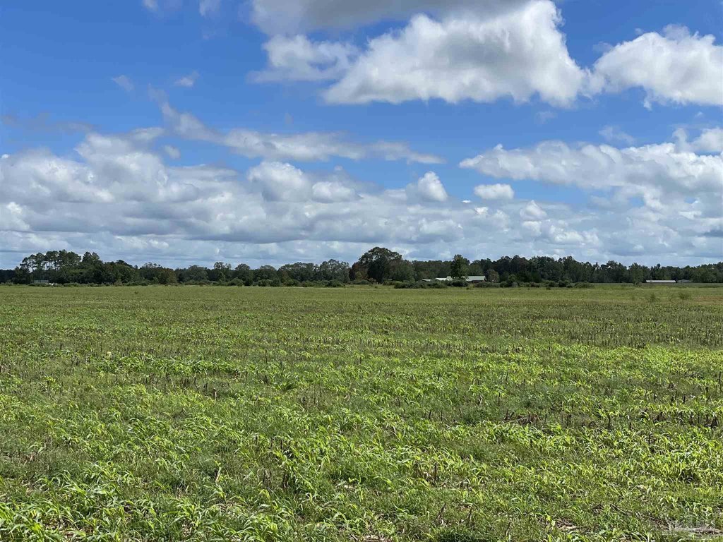
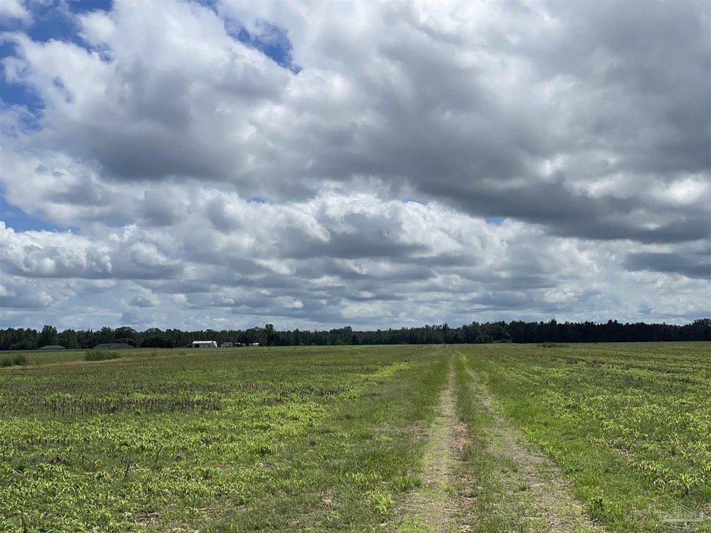
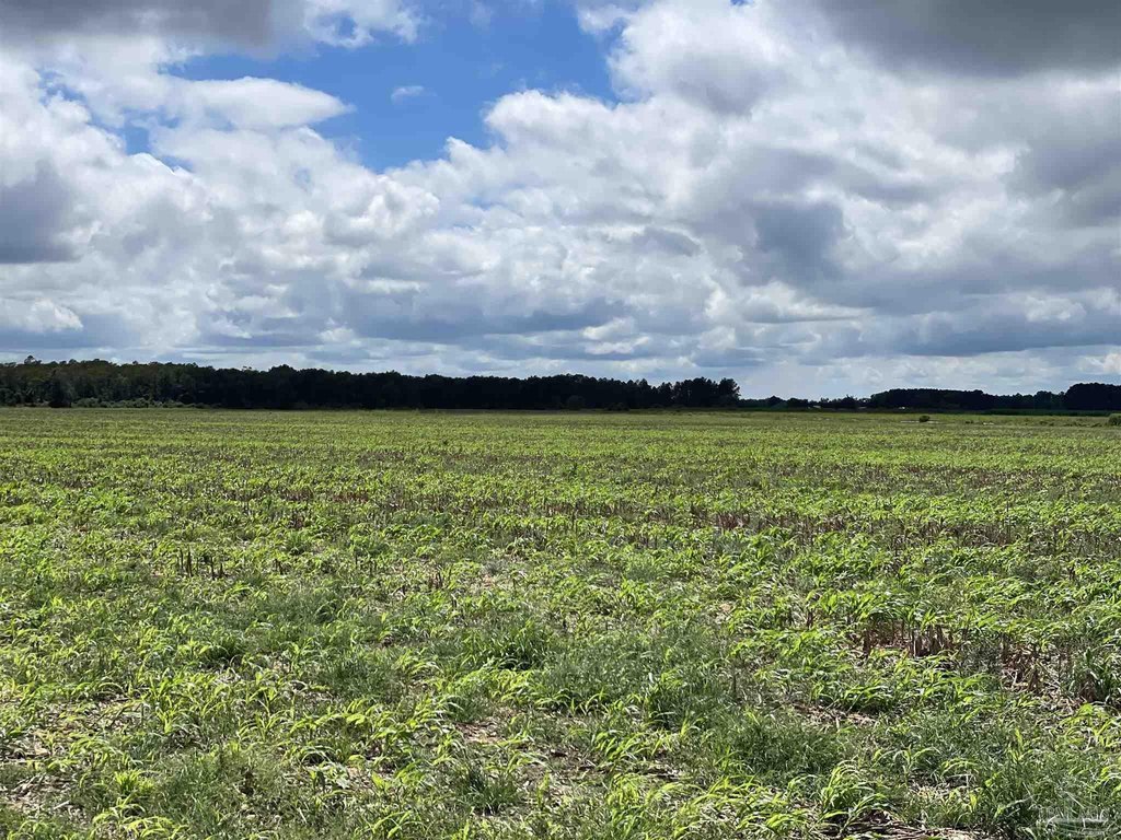
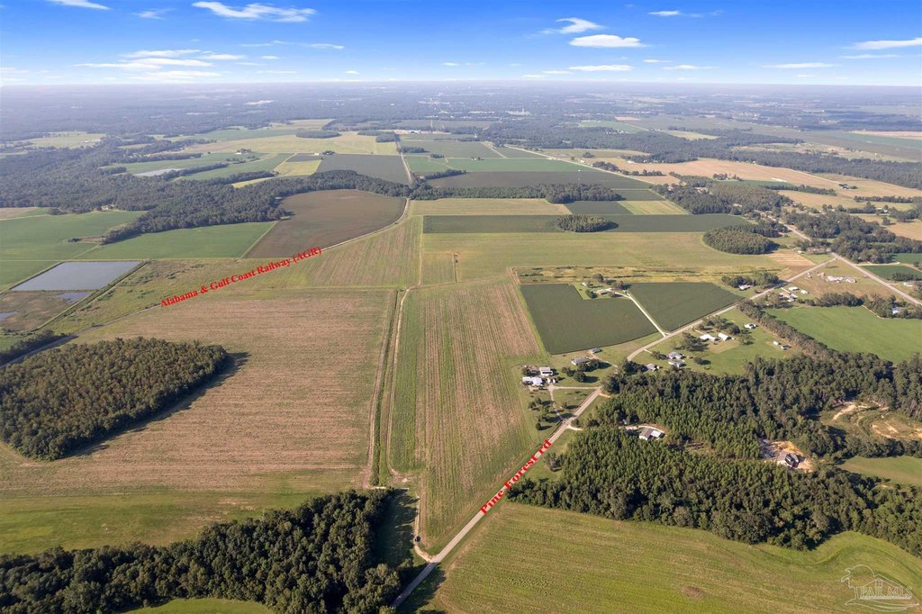
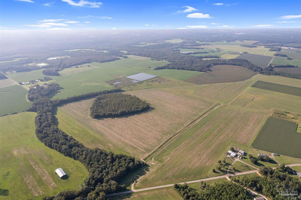
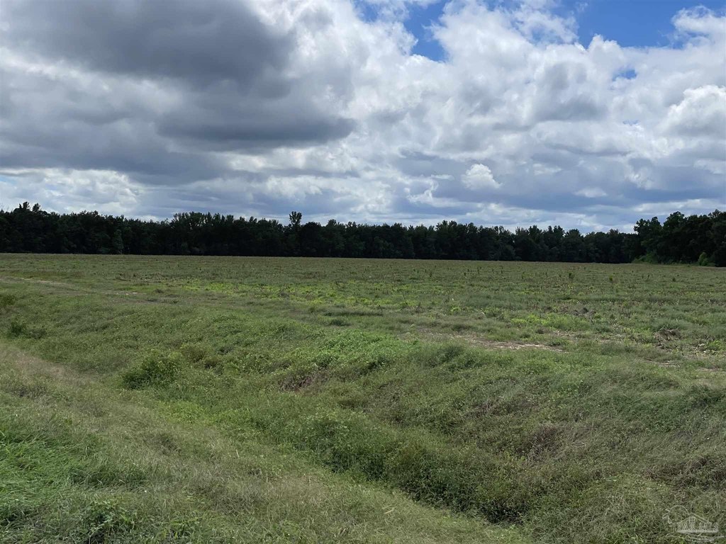
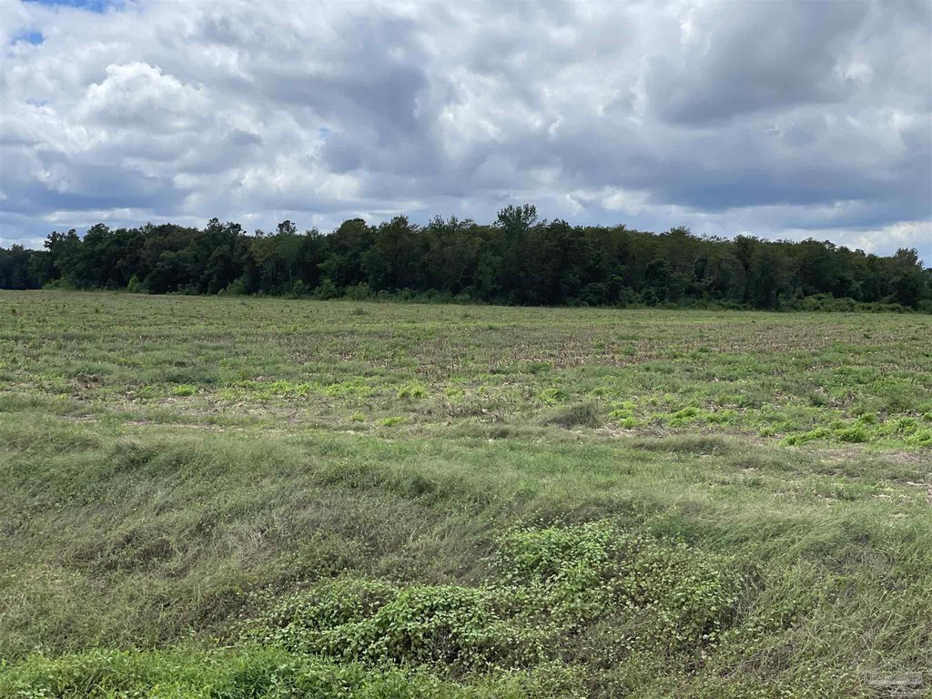
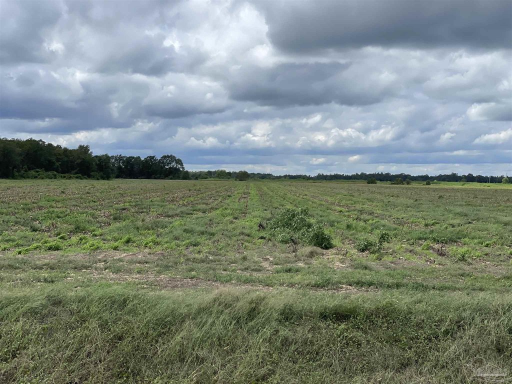
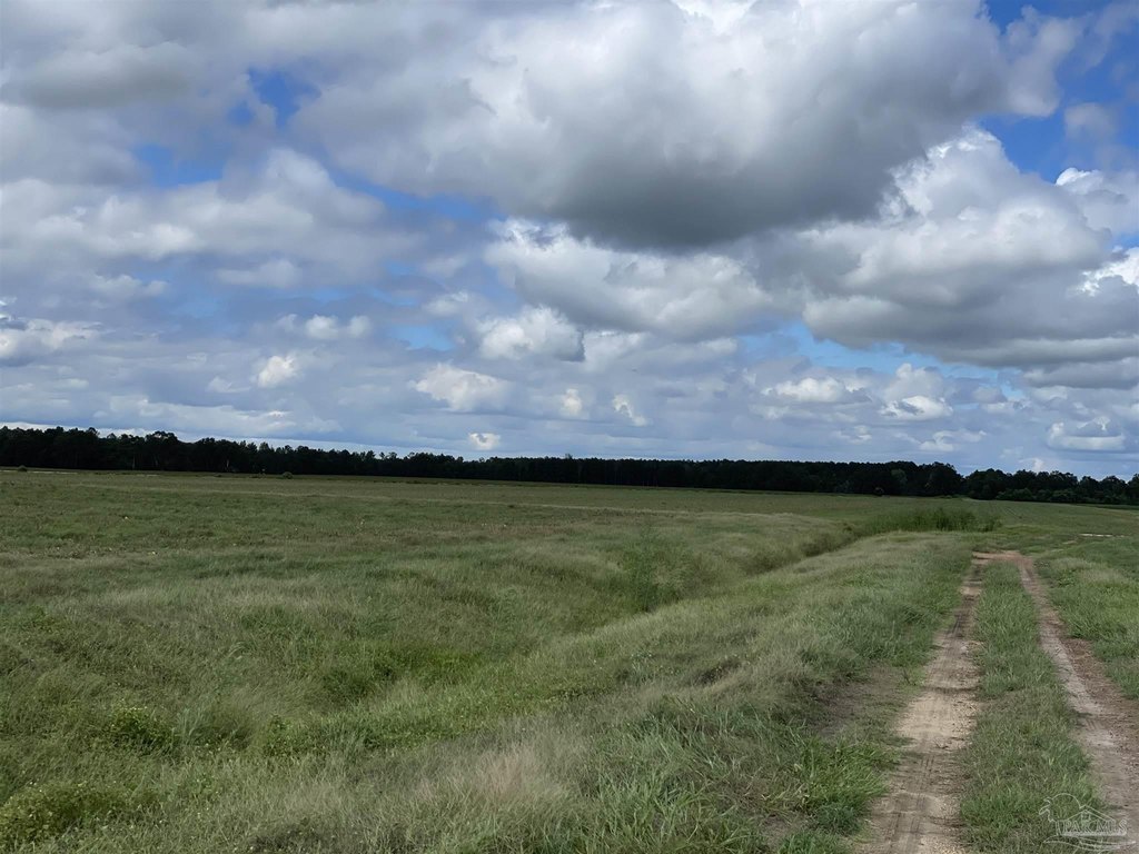
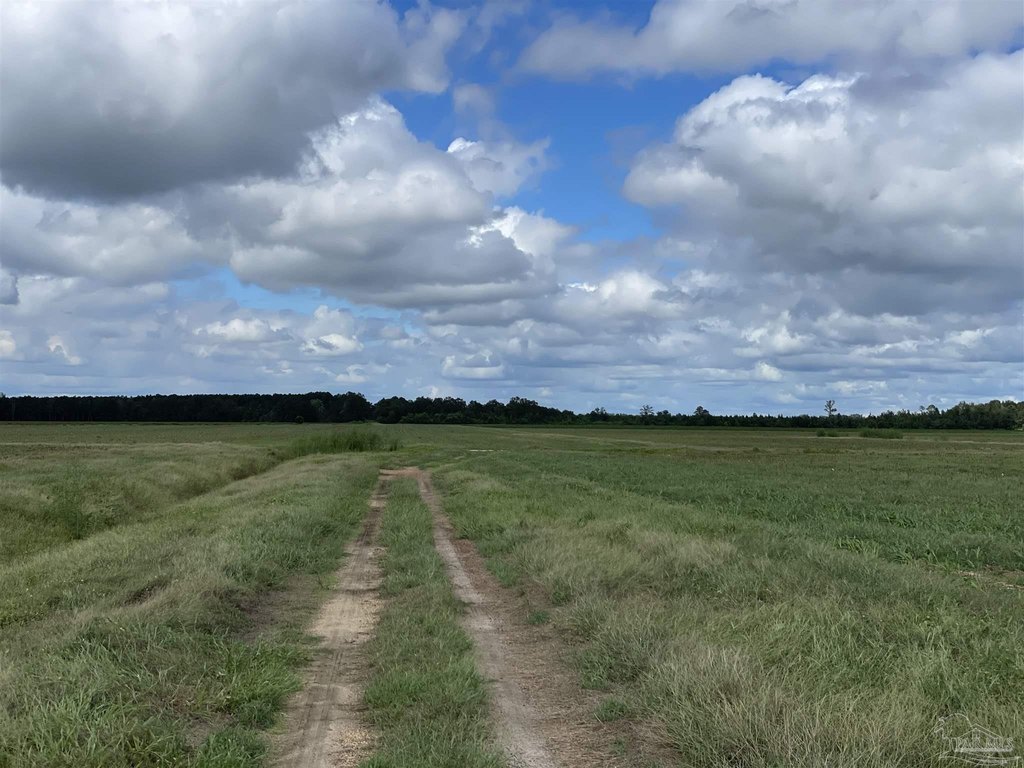
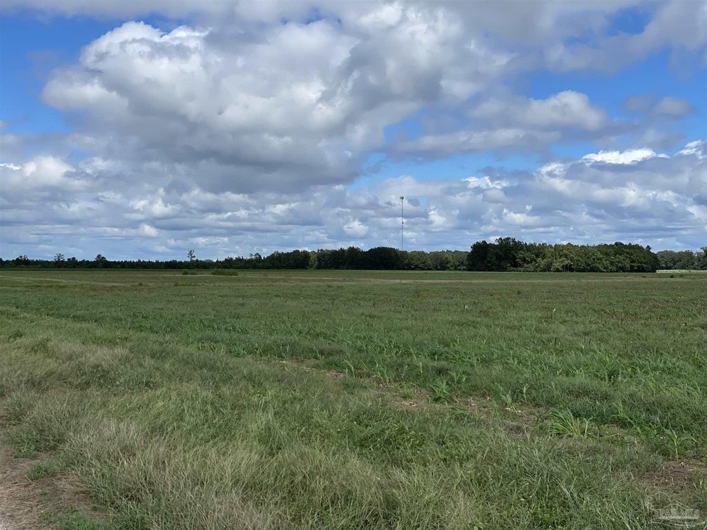
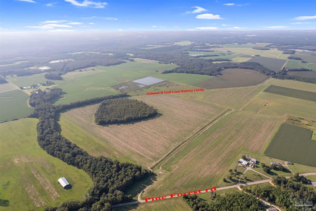
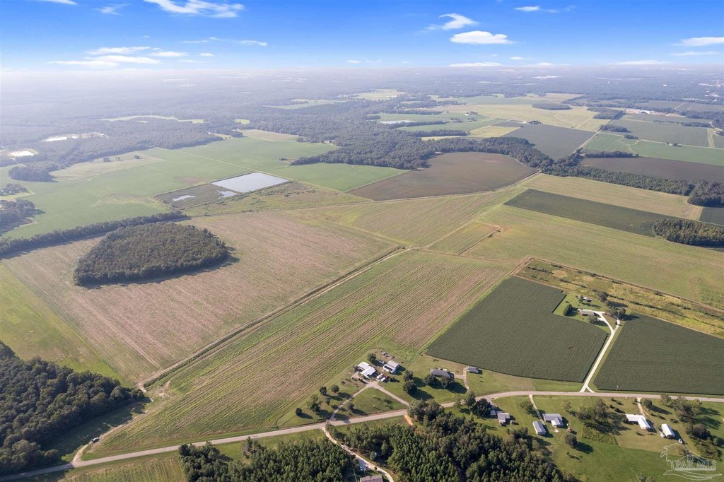
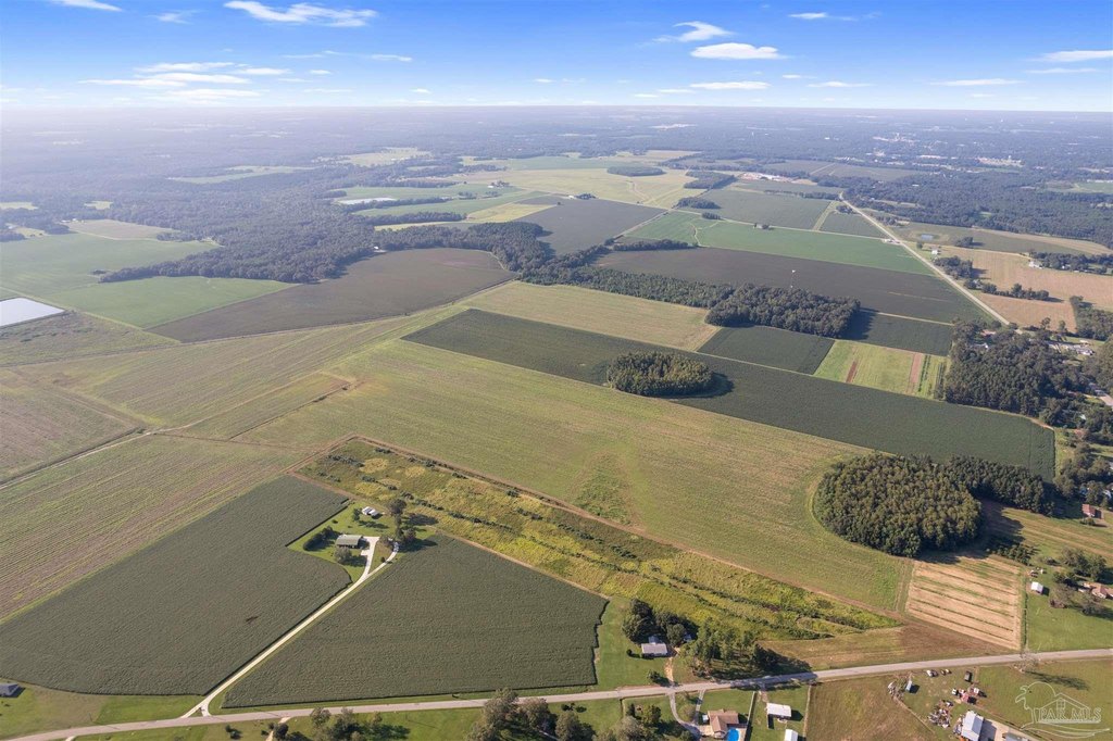
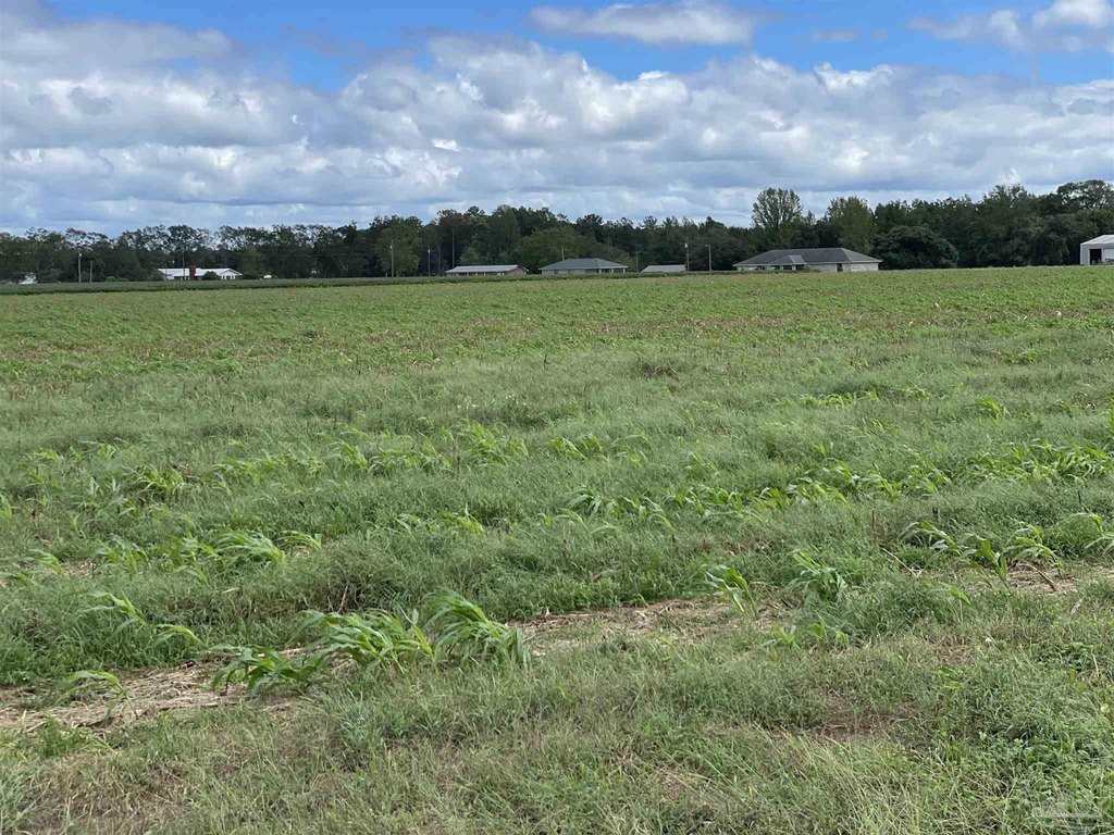
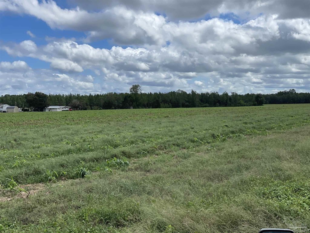
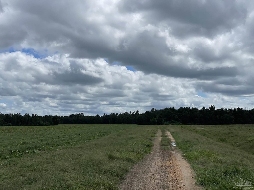
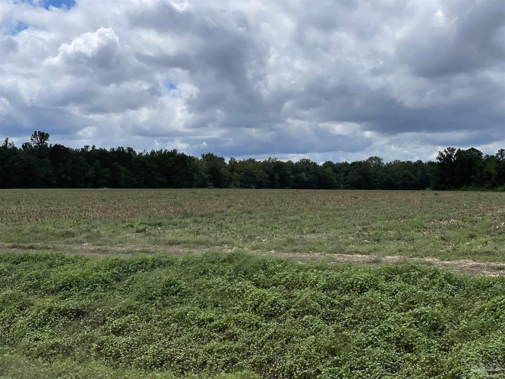
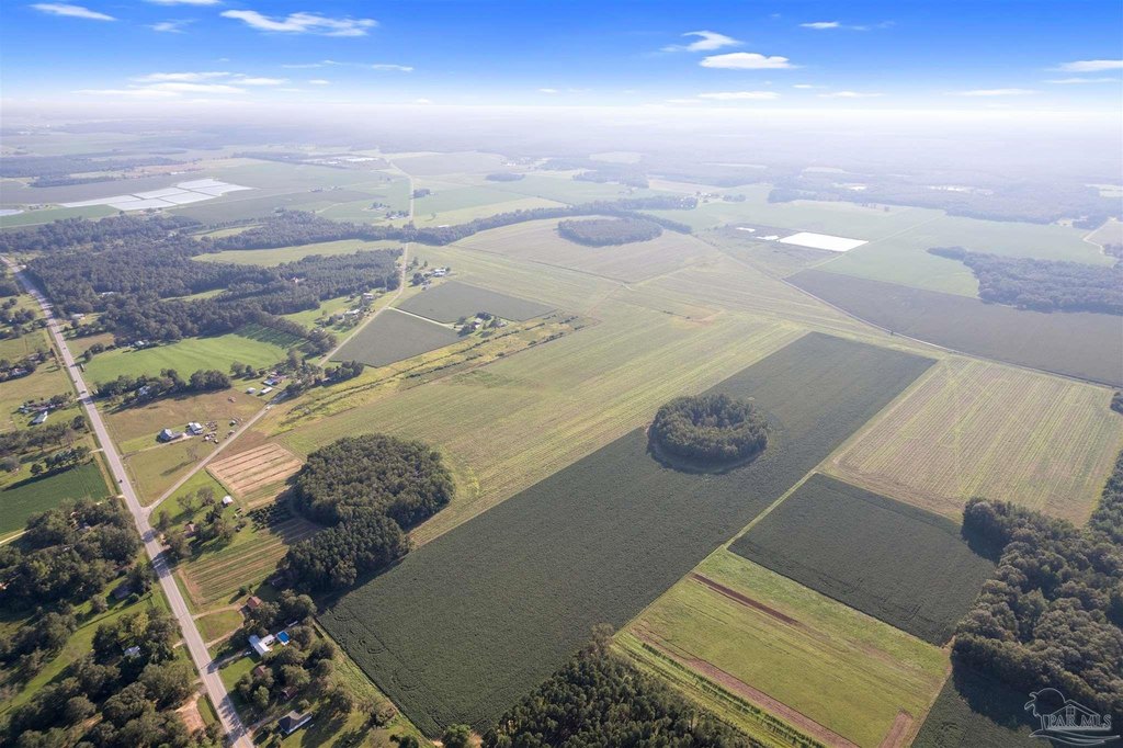
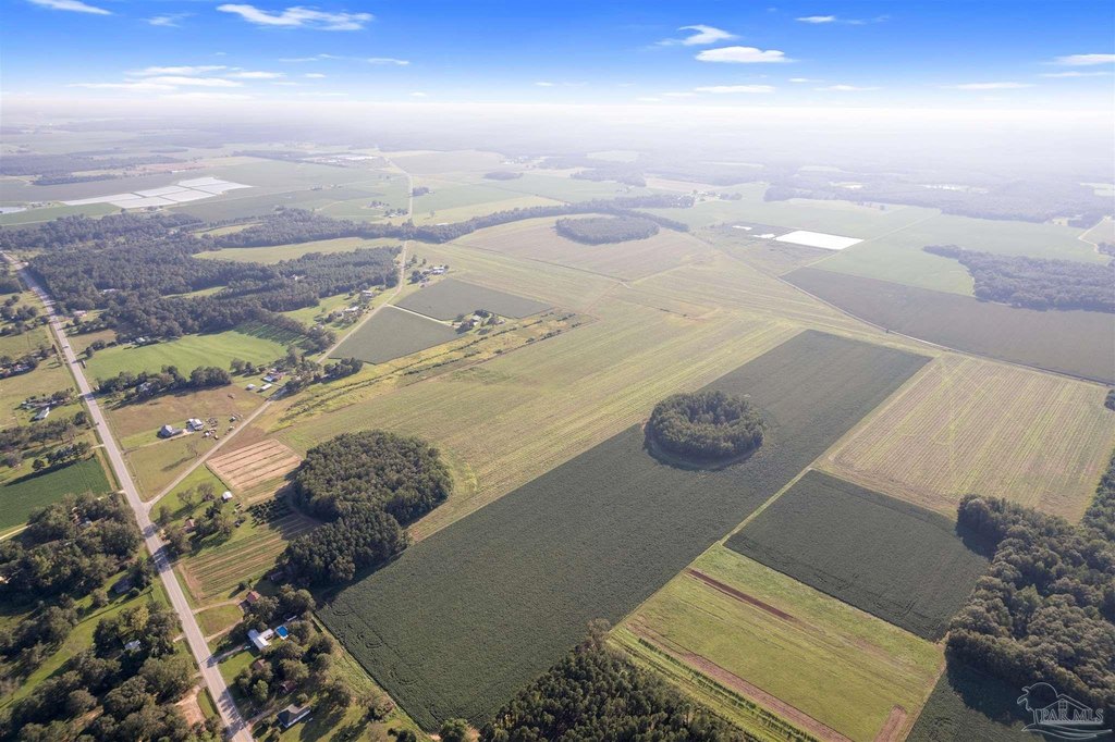
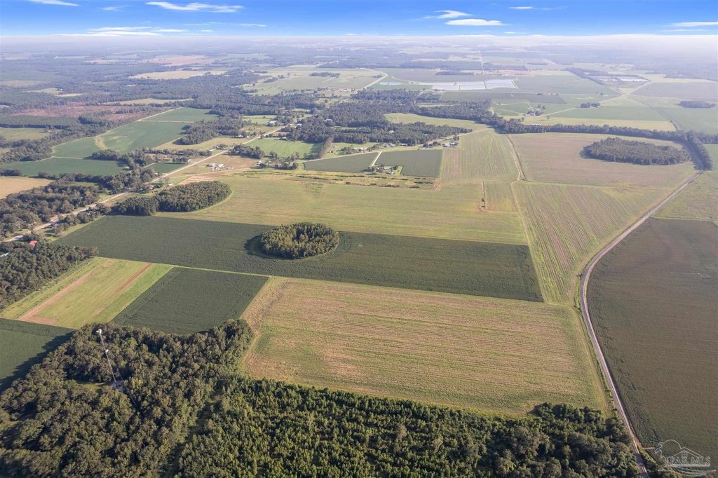
- 248+/- acres of high‑quality agricultural land with AGR zoning, suitable for farming, livestock, development, or residential use.
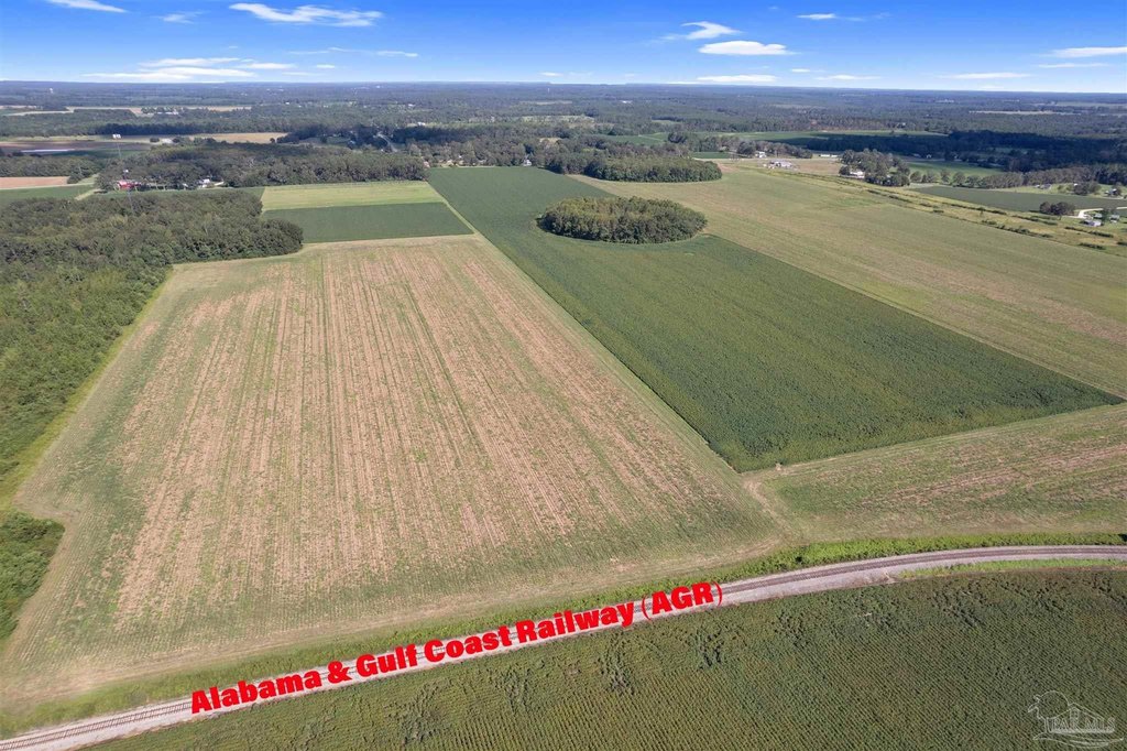
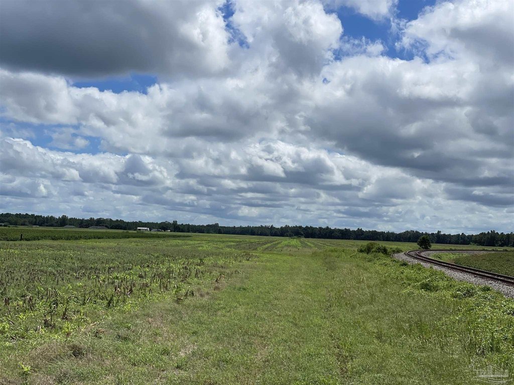
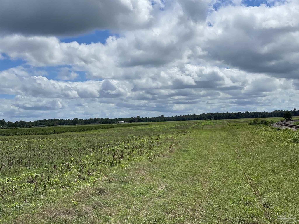
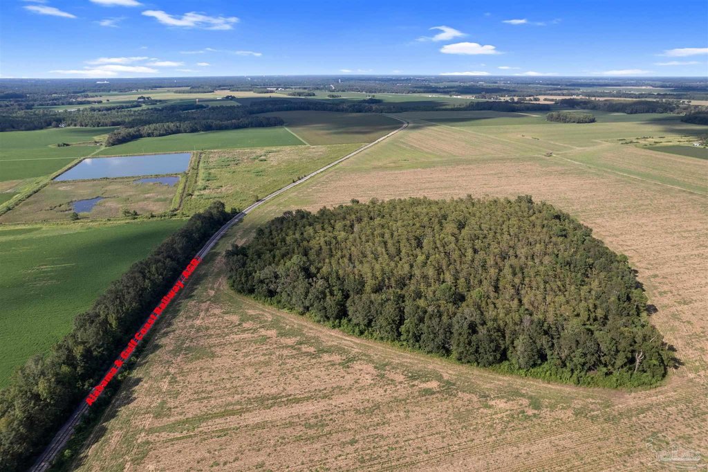
- 6,000+/- feet of direct railroad frontage, valuable for transport, shipping, or future development.
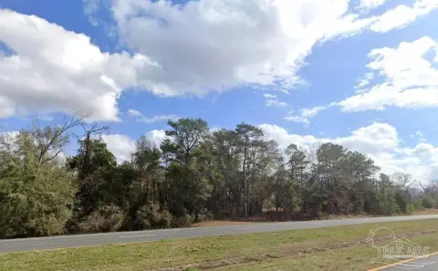
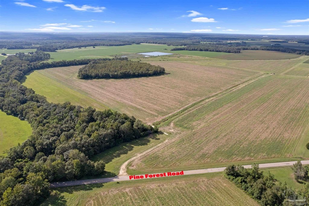
- Convenient location: easy access to State Road 97, I‑65, U.S. Highway 29, and nearby cities (Atmore, Pensacola).
- Power and public water are available on the property.
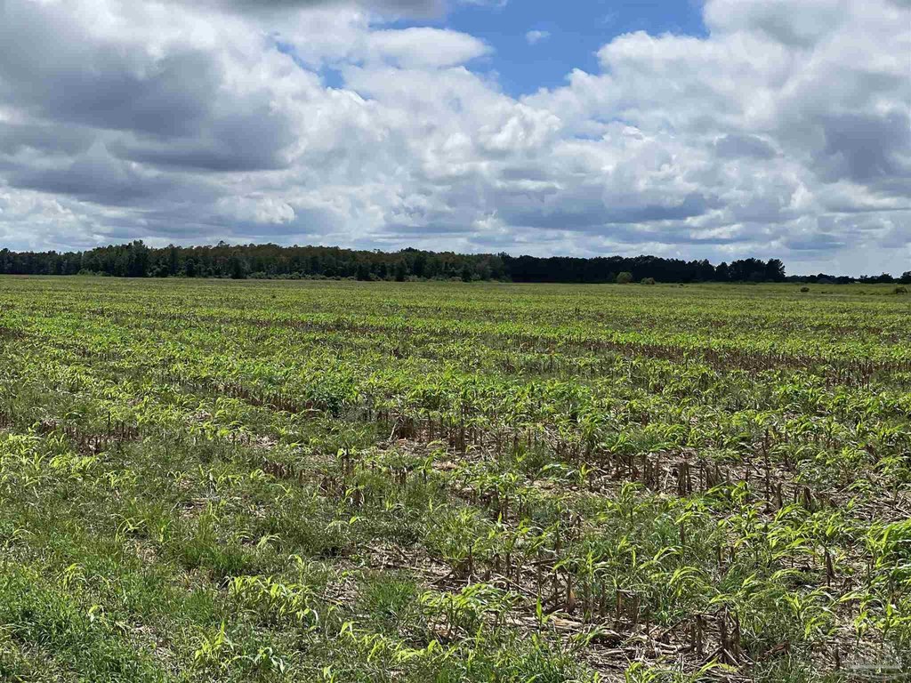
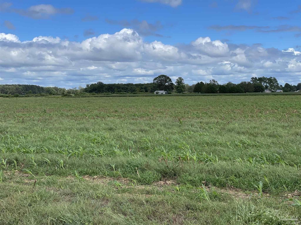
- Fertile, well‑drained soil ideal for crops and grazing.
- Strategic location suitable for farming, investment, or building a rural retreat.
Overview
Current Use by Public Records
Map
- City
- Walnut Hill
- County
- Escambia
- State
- Florida
- Longitude
- -87.49619922
- Latitude
- 30.95582389