5010 W D Rochelle, Jennings, LA 70546
- Added:
- Dec 18, 2025
- Days on Market:
- 181
- Last Refresh:
- Jun 17 at 6:06 am
Property Features for 5010 W D Rochelle
General Information
- Property type
- Land
- Property subtype
- Other
- Zoning
- Ag
- Exterior features
- Agricultural
- Standard status
- Active
- APN
- 200112950
- Lot size
- 56.70 Acres
Building Details
- Architectural style
- Other
Listing agent Robbie Ingle License #912122392 (337) 304-0481
Listing office Coldwell Banker Ingle Safari R 765 Bayou Pines E, Lake Charles, LA (337) 478-1601
Listing date Dec 18, 2025
Copyright © 2026 Southwest Louisiana Association of REALTORS®. All rights reserved. All information provided by the listing agent/broker is deemed reliable but is not guaranteed and should be independently verified.
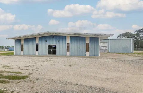
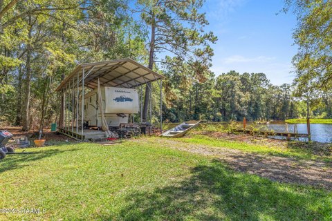
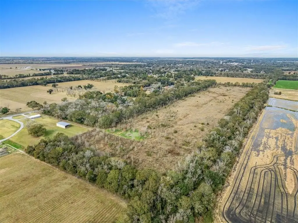
HighLights
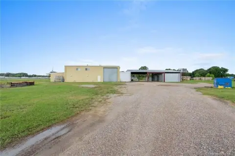
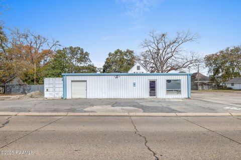
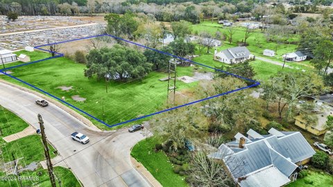
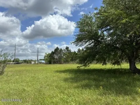
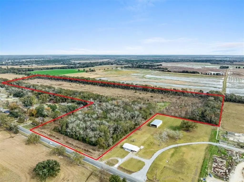
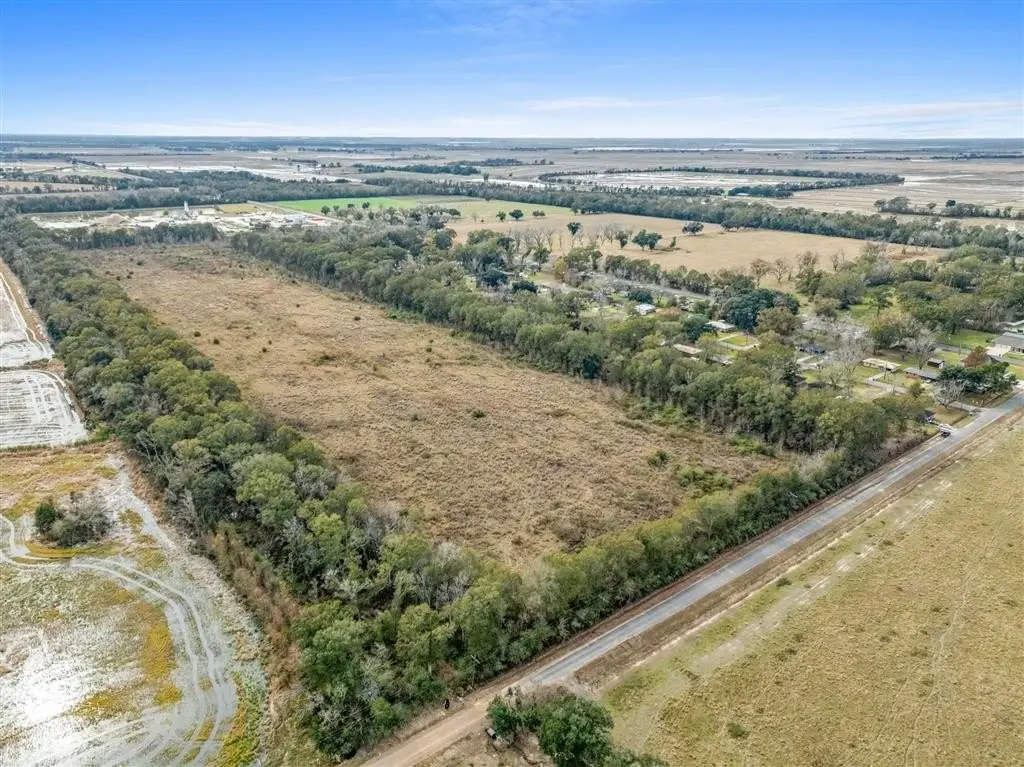
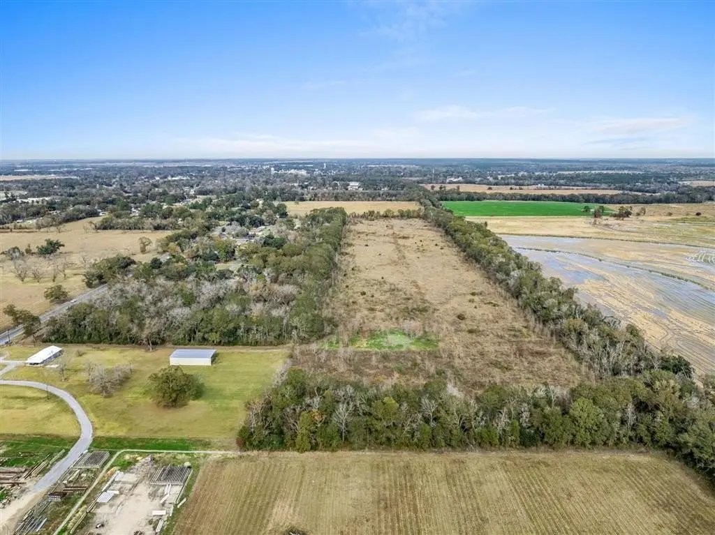
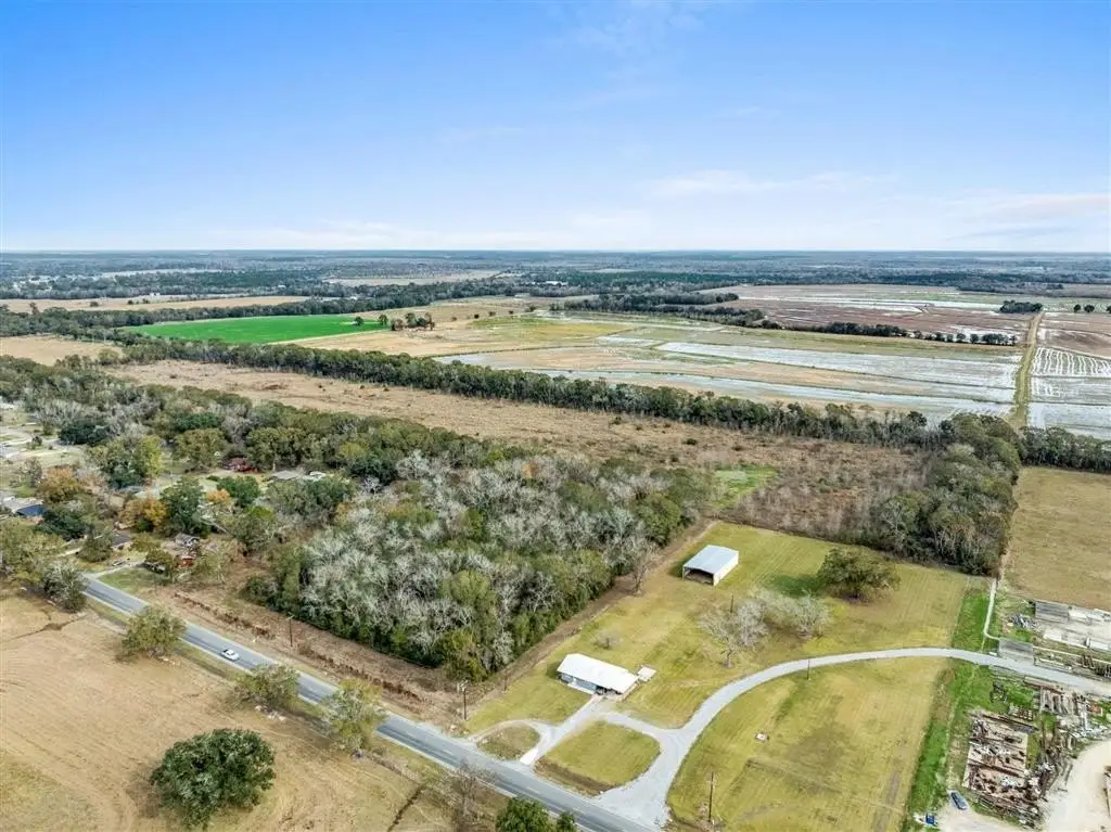
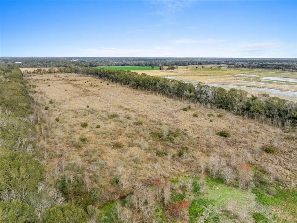
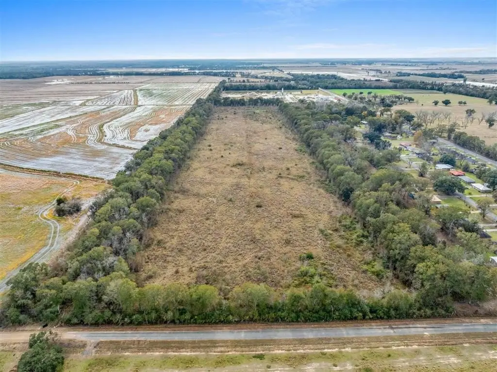
- 56+ acre tract suitable for agricultural use, residential development, or commercial applications
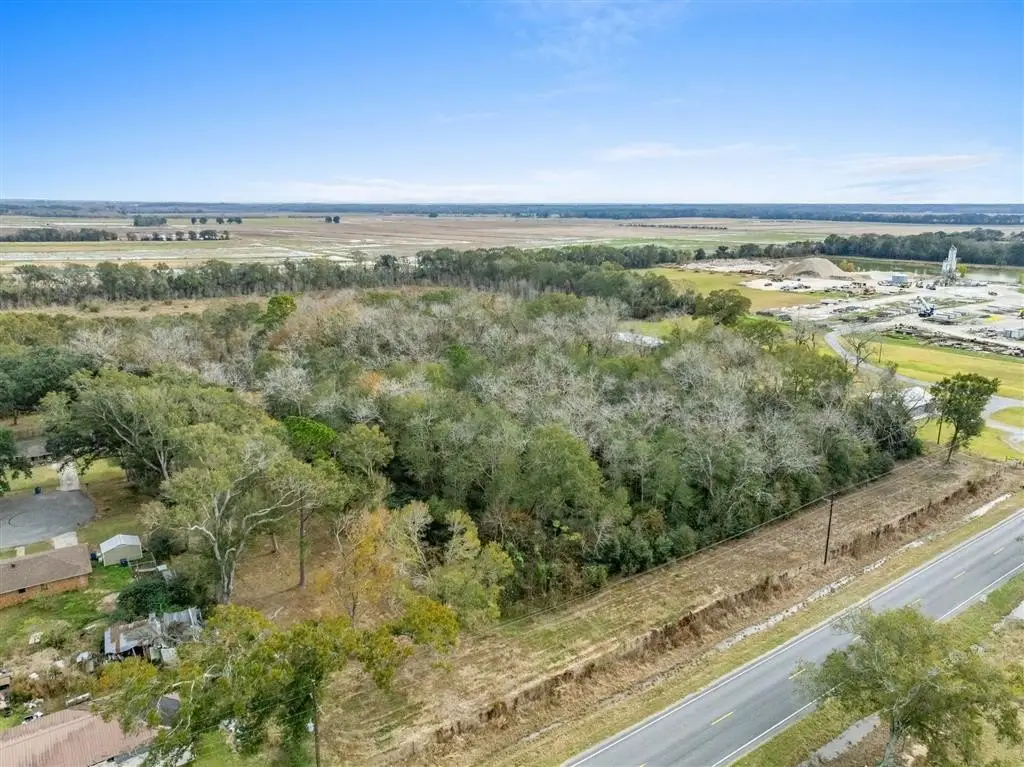
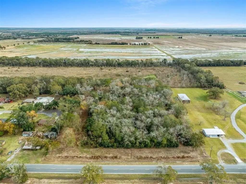
- Located just outside Jennings city limits with city water availability
- Multiple public road access points from Wilbert D. Rochelle Avenue and Racca Road
- Located in Flood Zone X, requiring no flood insurance
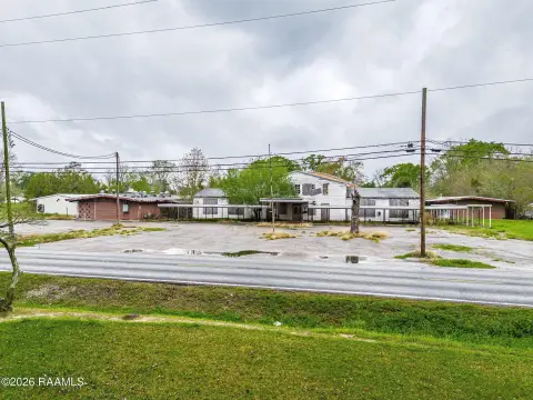
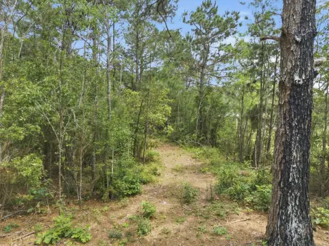
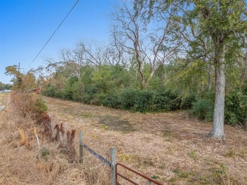
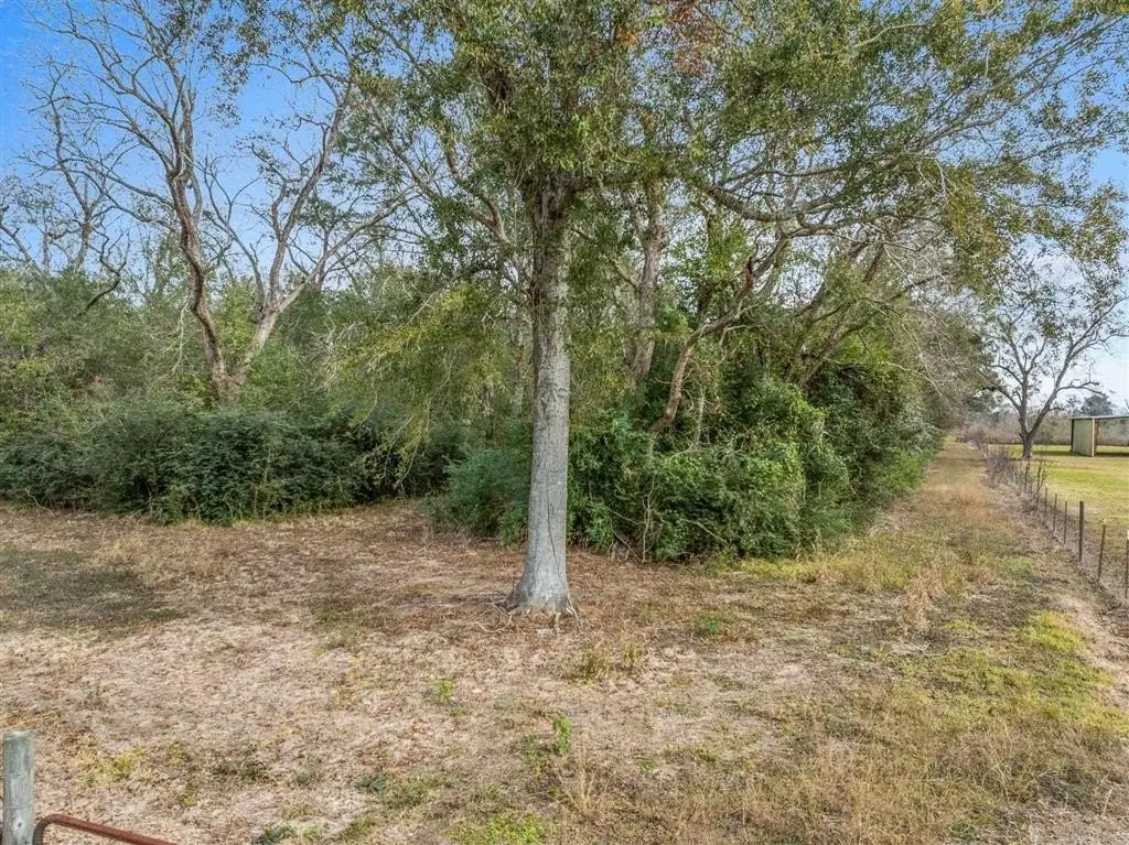
- Mostly cleared and fenced pastureland, bordering a residential subdivision and agricultural land
- Large, mature pecan trees along the perimeter
Overview
Located in the Jennings area just outside the city limits, the front portion lies within Jennings city limits, providing city water availability on site. The property is in Flood Zone X, which indicates no flood insurance is required. The tract borders an established residential subdivision on one side and agricultural land on the other. Multiple public road access points are available from Wilbert D. Rochelle Avenue and Racca Road, and recent clearing along nearby boundaries near Wilbert Rochelle and behind Shirley Street has improved visibility and usability.
This parcel is well suited for buyers seeking a large, agricultural-configured land holding with practical access, available city water on the front portion, and Flood Zone X status. The seller will retain mineral rights, and detailed surveys are available for review in the MLS.
Current Use by Public Records
Map
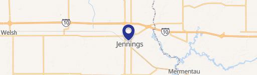
- City
- Jennings
- County
- Jefferson Davis
- State
- Louisiana
- Longitude
- -92.6684
- Latitude
- 30.1991