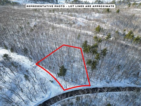
470 Tasker Hill Road, Madison, NH 03818

- Added:
- Jan 16, 2026
- Days on Market:
- 139
- Last Refresh:
- Jun 4 at 8:06 pm
Property Features for 470 Tasker Hill Road
General Information
- Property type
- Land
- Property subtype
- Other
- Zoning
- 01 - Rural
- Standard status
- Active
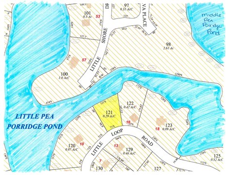
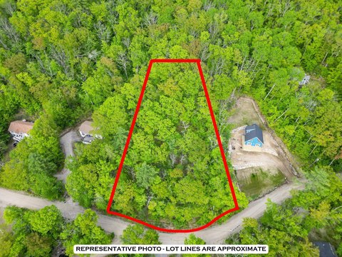
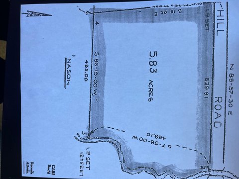
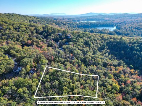
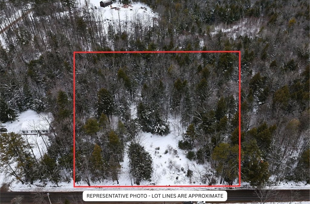
- Lot size
- 1.15 Acres
Listing agent Grace Mark (603) 444-1294
Listing office Badger Peabody & Smith Realty 2633 White Mountain Hwy, Franconia, NH (603) 356-5757
Listing date Jan 16, 2026
Copyright © 2026 PrimeMLS. All rights reserved. All information provided by the listing agent/broker is deemed reliable but is not guaranteed and should be independently verified.
HighLights
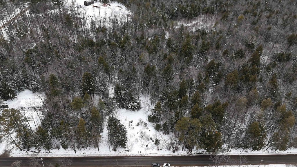
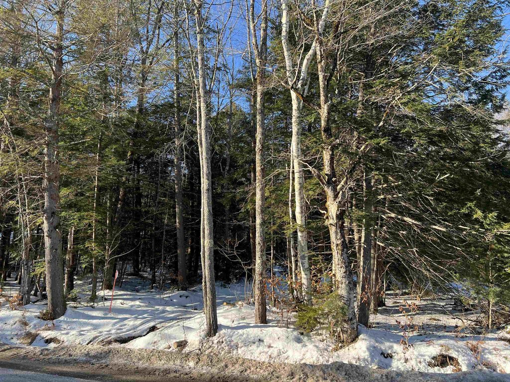
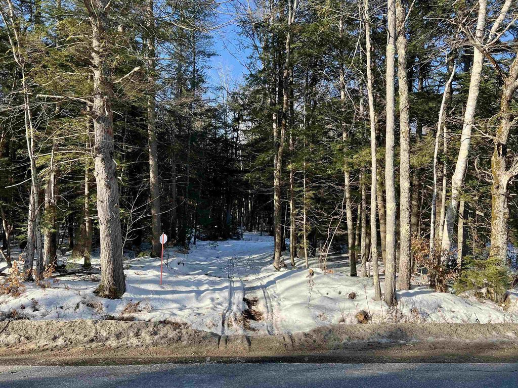
- Land parcel on Tasker Hill Road in the Mount Washington Valley area near Conway
- Surrounded by walking, hiking, and winter recreation trail access, with additional nearby trailhead access
- Perpetual 30‑foot recreational trail corridor associated with Corridor 19 trail easement
- A portion of a recreational trail corridor is anticipated to be relocated to the northerly boundary
- Final trail corridor alignment and permitted uses are subject to determination by the NH Department of Natural and Cultural Resources
- Buyer to pay a $1,100 DOT administrative fee at closing (per RSA 4:40, III‑A)
Overview
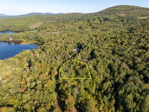
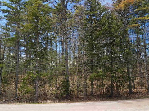
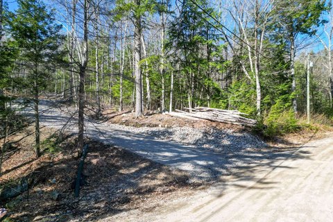
The parcel is located on Tasker Hill Road in Madison, within the Mount Washington Valley area. Public remarks describe surrounding walking, hiking, and winter recreation trails used by both locals and visitors. The property is also described as having additional trailhead access available nearby, and a portion of a recreational trail corridor is anticipated to be relocated to the northerly boundary of the parcel.
While the relocation is anticipated, the final alignment and permitted uses are stated to be subject to determination by the New Hampshire Department of Natural and Cultural Resources. There is also an administrative fee noted by the Department of Transportation that will be assessed at closing in the amount of $1,100 pursuant to RSA 4:40, III-A. Prospective buyers should review these trail corridor and regulatory items carefully when evaluating land use and future plans for the site.
Current Use by Public Records
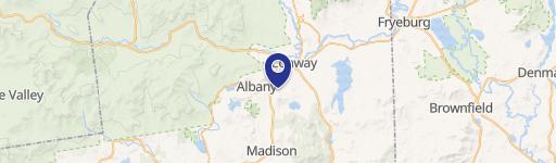
Map
- City
- Madison
- County
- Carroll
- State
- New Hampshire
- Longitude
- -71.1192226
- Latitude
- 43.9611629