4485 K-7 Highway Shawnee, KS 66226
- Added:
- Mar 27, 2026
- Days on Market:
- 41
- Last Refresh:
- May 6 at 2:06 pm
Property Features for 4485 K-7 Highway
General Information
- Property type
- Land
- Property subtype
- Other
- Zoning
- Ag
- Vegetation
- Natural State, Wooded
- Standard status
- Pending
- APN
- 0460183304004001000
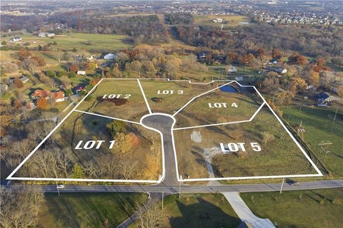
- Lot size
- 19.00 Acres
Taxes and HOA fees
- Tax Description
- 33-11-23 SE1/4 S OF RD & E OF WAGON RD 94.14 AC M/L EX 14.91AC EX 4.26 AC FOR HWY EX 17.862 AC WITHIN CEDAR MILL SDEX 2 TRS PLATTED 10.475 AC & 21.869 AC & EX .04 AC EX 5 ACS 19.724 ACS M/L; AND 33-11-23 PT SE1/4 BG NW CR LT 105 GREENVIEW RIDGE FIFTH PL SW 121.75' TO POB NW 206.20' & 270.63' NE 200' SE 399.90' SW 186.80' TO POB 1.656 ACS M/L SHC 24 5
- Tax Annual Amount
- 8067
Utilities
- Utilities
- Natural Gas Available
- Sewer type
- Public Sewer
- Water source
- Public

Listing agent Jeff Cates License #2005030145 (816) 868-4321
Listing office Cates Auction & Realty Co Inc 1440 Iron St, North Kansas City, KS (816) 781-1134
Listing date Mar 27, 2026
MLS# 2609590
Listing URL
Copyright © 2026 Heartland Multiple Listing Service. All rights reserved. All information provided by the listing agent/broker is deemed reliable but is not guaranteed and should be independently verified.
HighLights
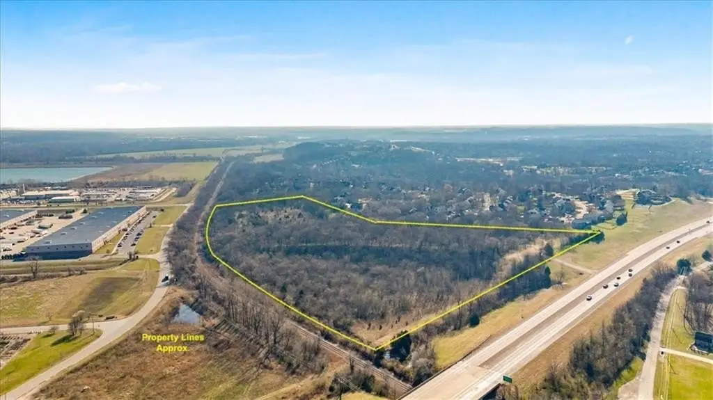
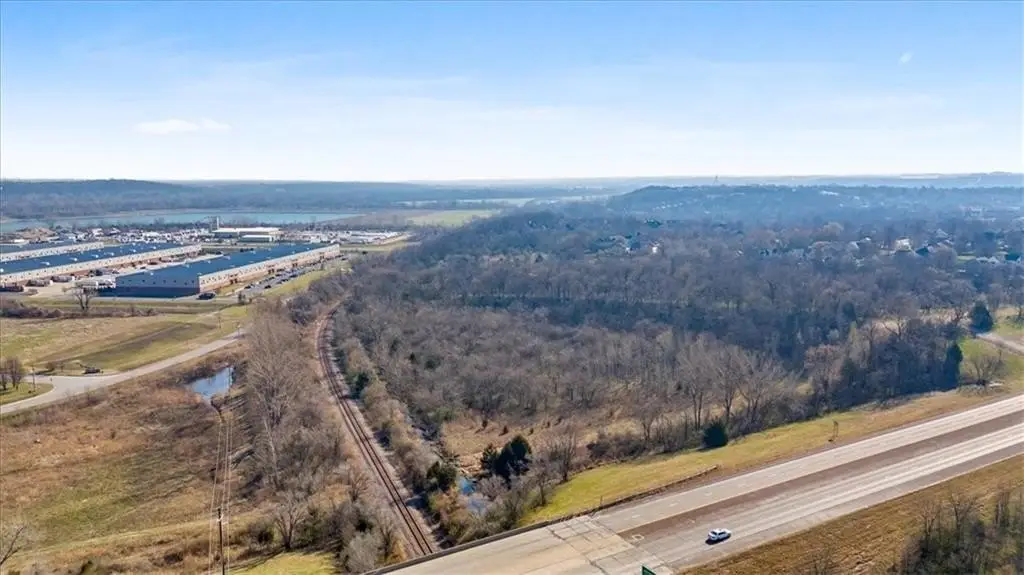
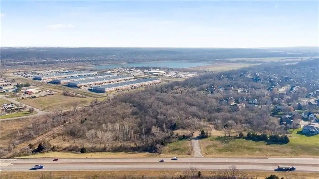
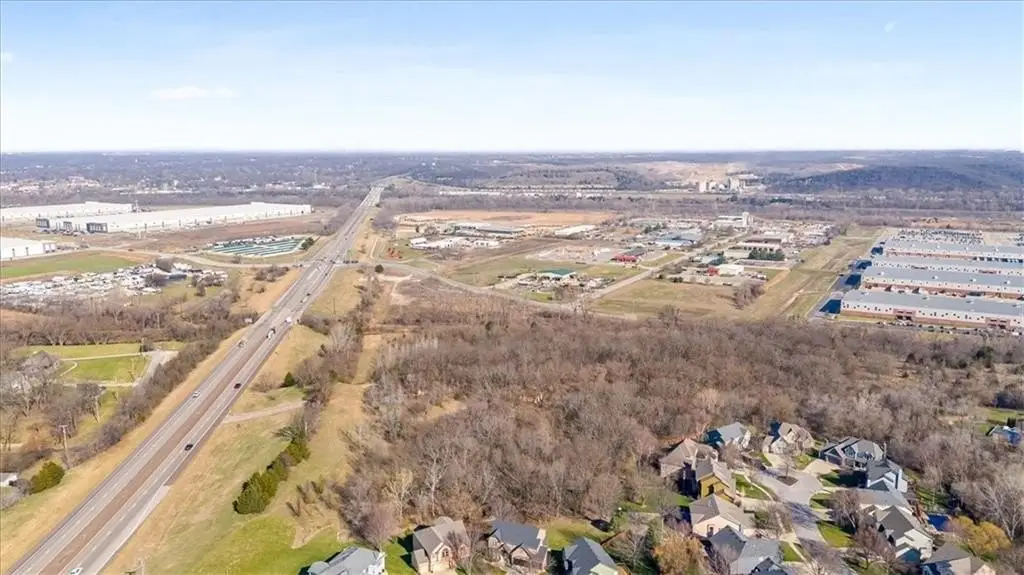
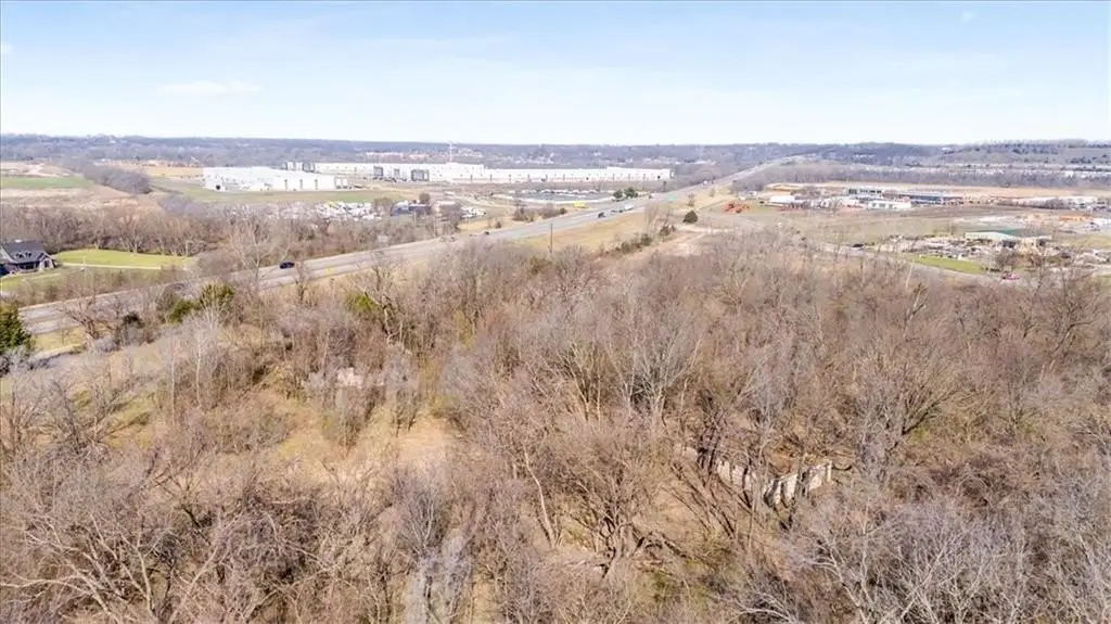
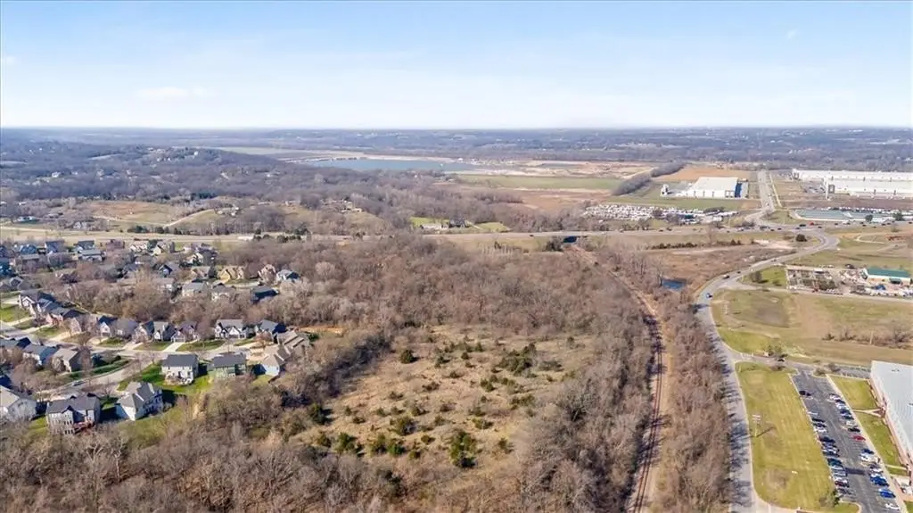
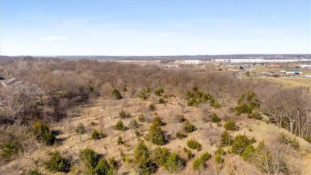
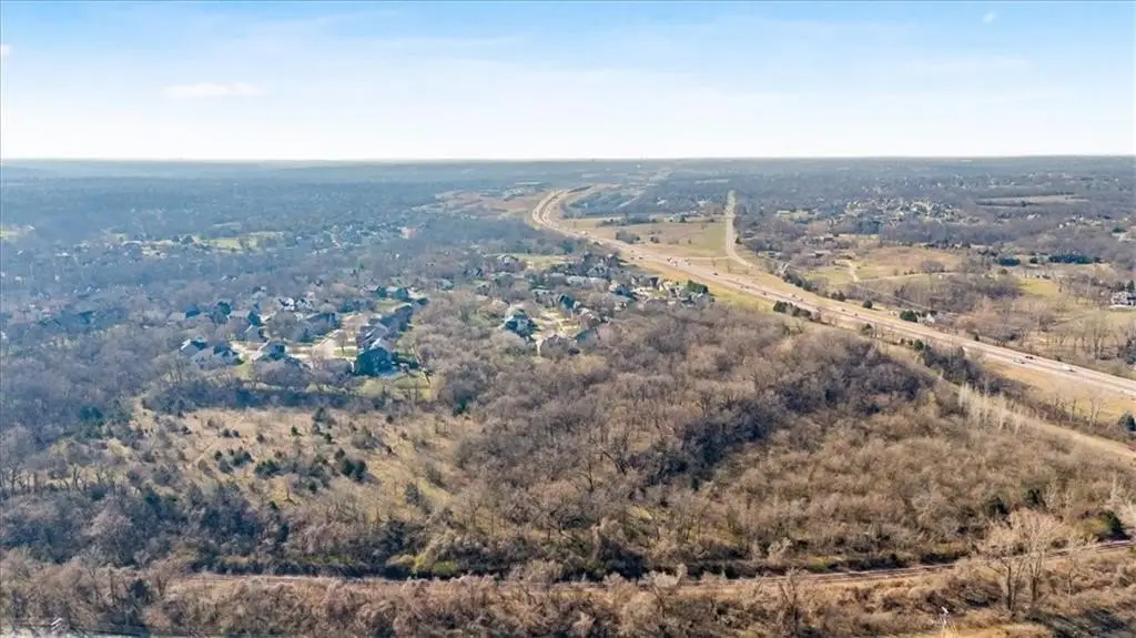
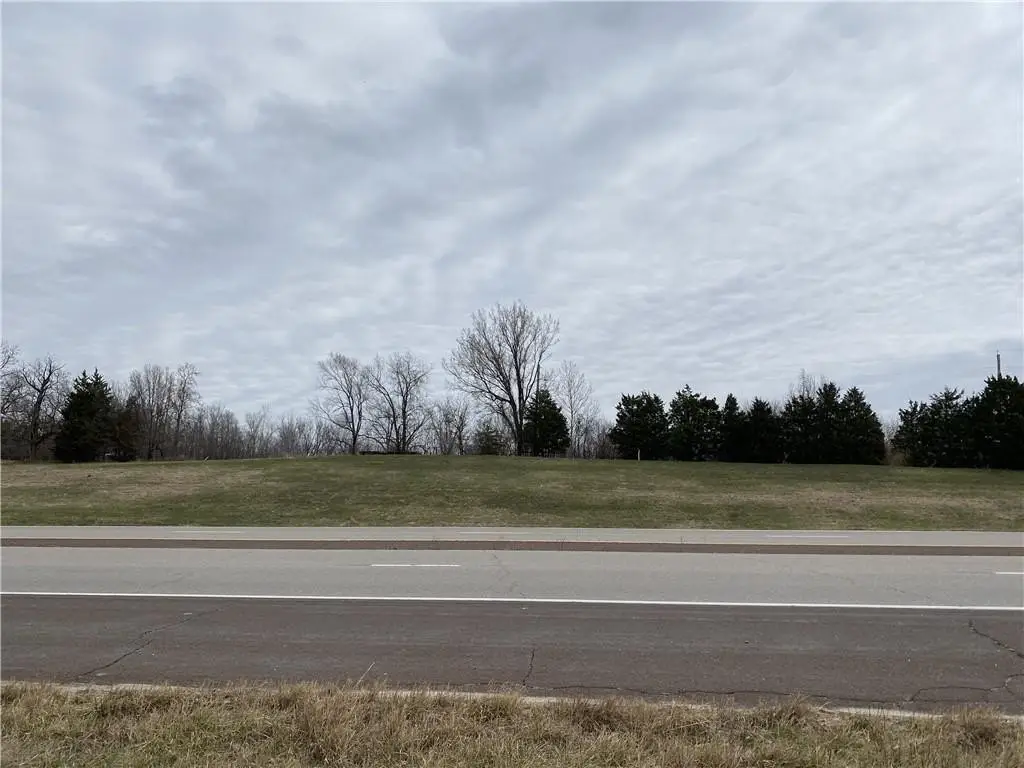
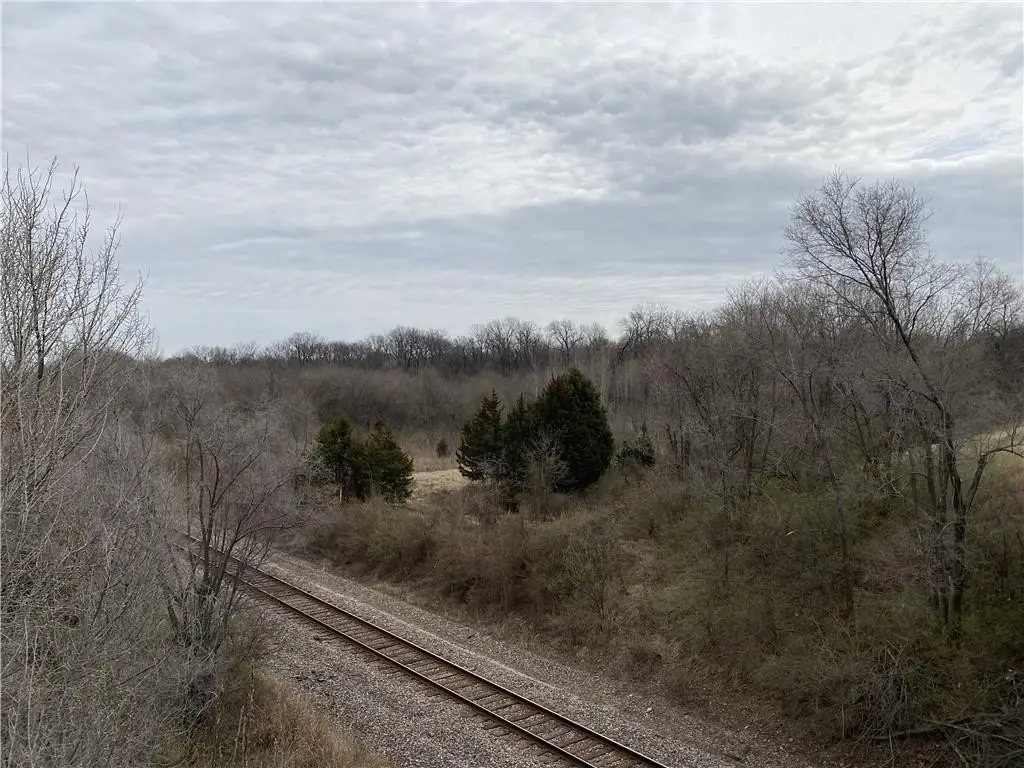
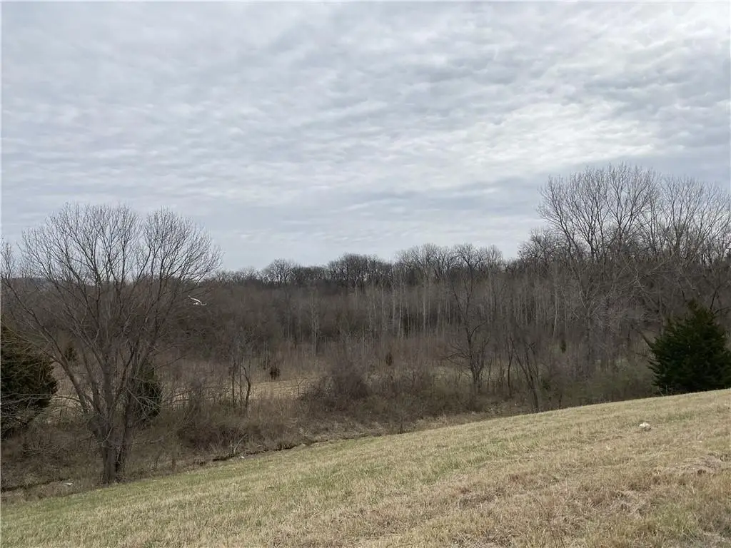
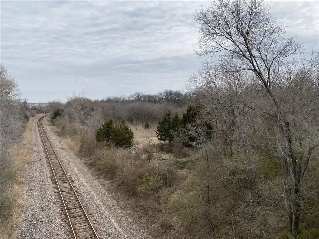
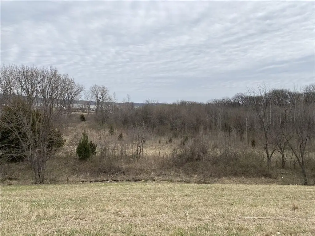
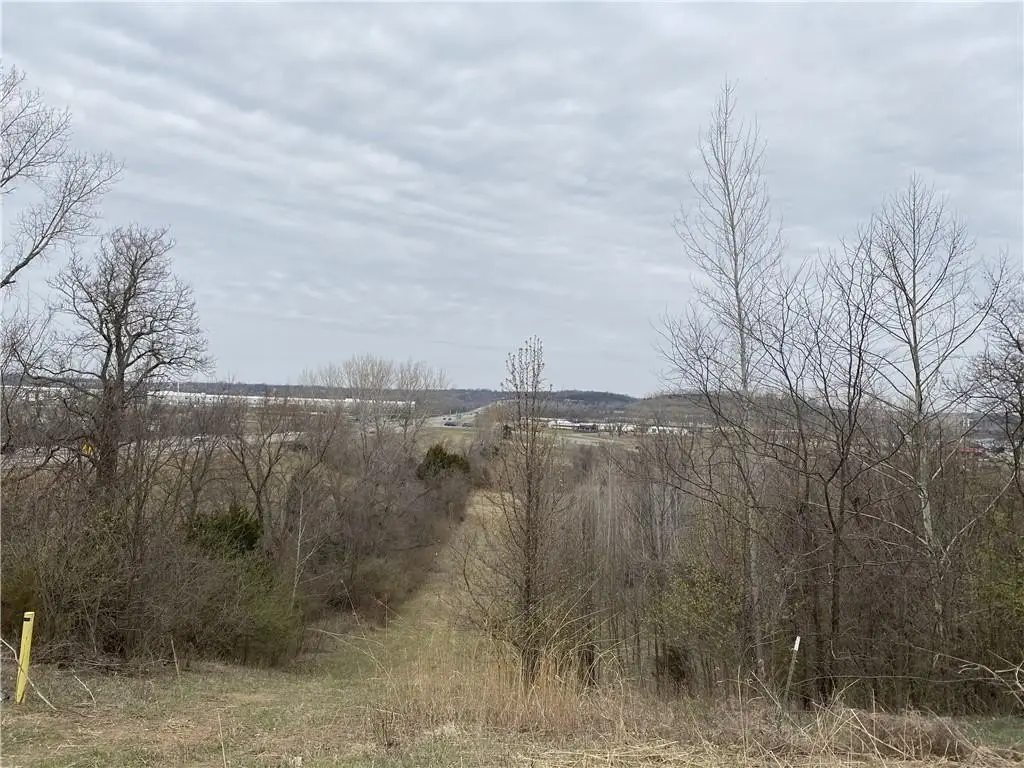
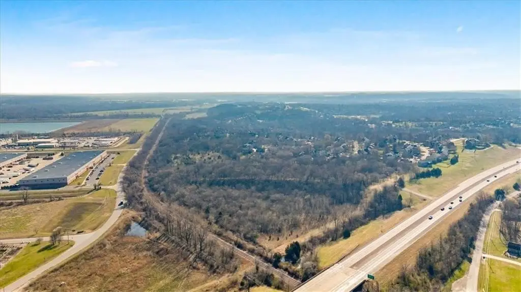
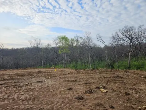
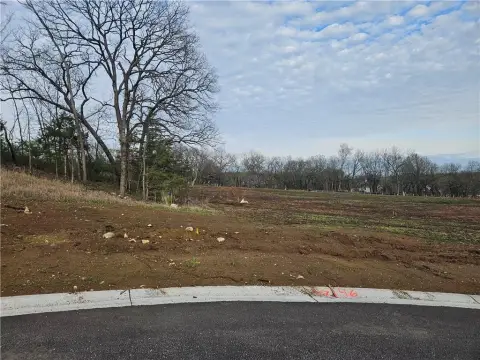
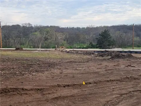
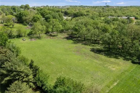
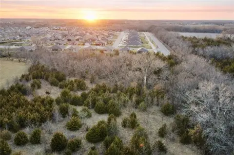
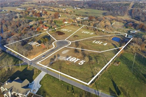
- 19 acres of private, untouched land with mature timber, rolling hills, and gorgeous views within Shawnee, Kansas city limits.
- Utilities available: water, sewer, electric, gas, and 3 internet service providers.
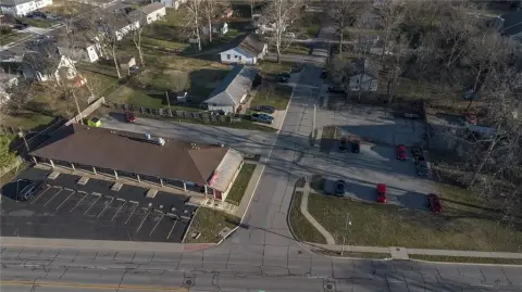
- Excellent Johnson County location: 23 minutes to Downtown Kansas City, 30 to KCI, and 15 to The Legends.
- No Reserve auction ending soon (4/30), bid your price.
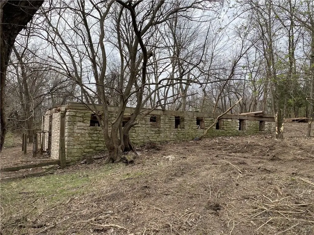
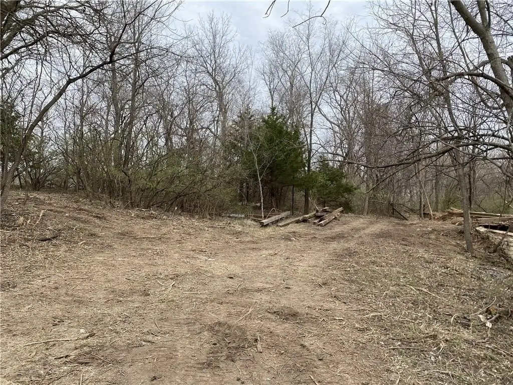
- Original limestone foundations and reclaimed barn beams offer historical character and architectural potential.
- Direct access to K‑7 highway via a private archived drive.
Overview
Shawnee Land with Development Potential
This 19-acre property, located within the city limits of Shawnee, Kansas, features mature timber, rolling hills, and natural limestone. The land offers views and elevation changes. The property includes the original limestone foundations of a home and barn, along with reclaimed barn beams. It has a private drive with direct access to K-7 highway. Utilities available include water, sewer, electric, gas, and access to three internet service providers. The location provides access to Downtown Kansas City (23 minutes), KCI airport (30 minutes), and The Legends shopping and entertainment district (15 minutes). The property is suitable for a dream home, hobby farm, investment, or development.
Location Intelligence
Current Use by Public Records
Agricultural land / Farmland
Map
- City
- Shawnee
- County
- Johnson
- State
- Kansas
- Longitude
- -94.8586
- Latitude
- 39.031
Nearby Similar for Sale


FAQs
What type of property is this?
Agricultural land / Farmland - 19 acres of land with mature timber in Shawnee, Kansas.
Where is this agricultural land / farmland located?
The property is located at 4485 K-7 Highway Shawnee, KS.
What is the asking price?
The asking price for this property is $399,000.
What are key features of this property?
This property features: 19 acres of **private, untouched land with mature timber, rolling hills, and gorgeous views** within Shawnee, Kansas city limits.; Utilities available: water, sewer, electric, gas, and 3 internet service providers.; Excellent Johnson County location: 23 minutes to Downtown Kansas City, 30 to KCI, and 15 to The Legends.


