W 412 Highway, Siloam Springs, AR 72761



- Added:
- Jun 20, 2025
- Days on Market:
- 383
- Last Refresh:
- Jul 7 at 10:06 am
Property Features for W 412 Highway
General Information
- Property type
- Land
- Property subtype
- Other
- Standard status
- Active
- APN
- 03-00357-000
- Lot size
- 4.37 Acres
Taxes and HOA fees
- Tax Description
- See Supplement for Legal Descriptions for two parcels
- Tax Annual Amount
- 961
Utilities
- Sewer type
- Public Sewer
- Water source
- Public
Listing agent Cammi Hevener License #EB00075080 (479) 427-0240
Listing office Keller Williams Market Pro Realty - Siloam Springs 112 W Tulsa St, Fayetteville, AR (479) 718-2800
Listing date Jun 20, 2025
Copyright © 2026 ArkansasONE MLS. All rights reserved. All information provided by the listing agent/broker is deemed reliable but is not guaranteed and should be independently verified.
HighLights
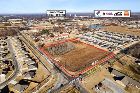
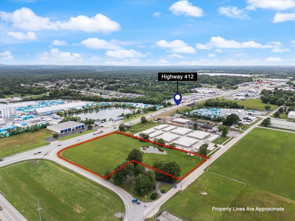
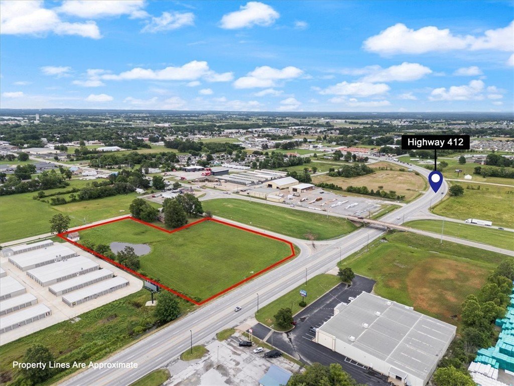
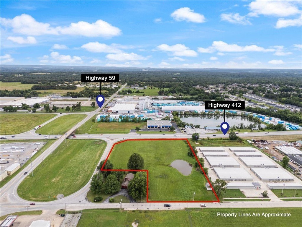
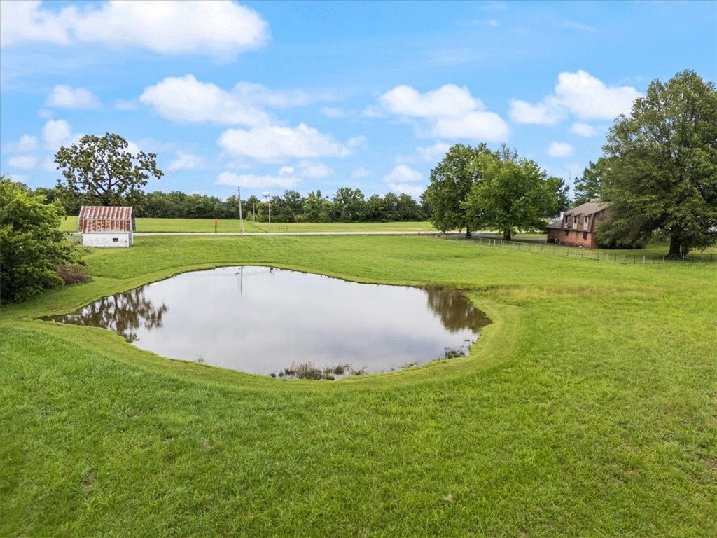
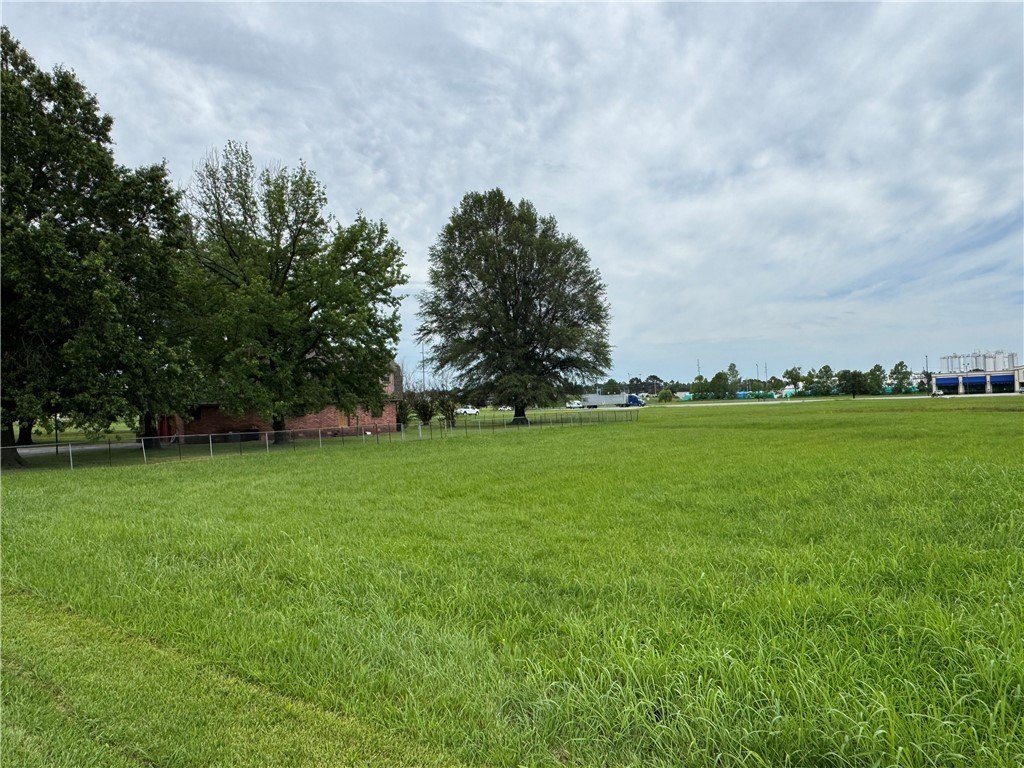
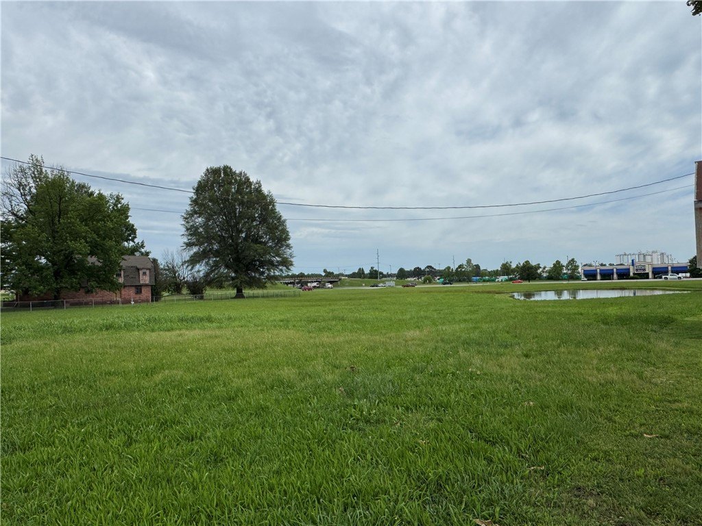
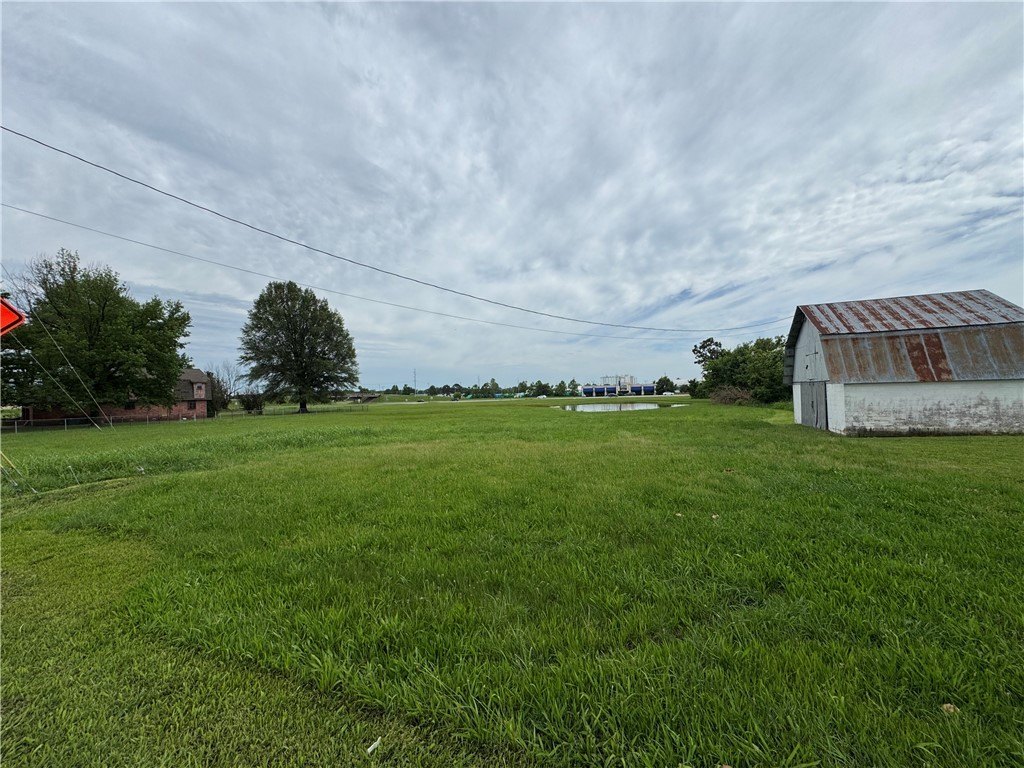
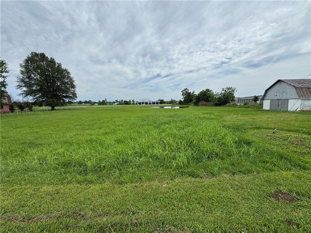
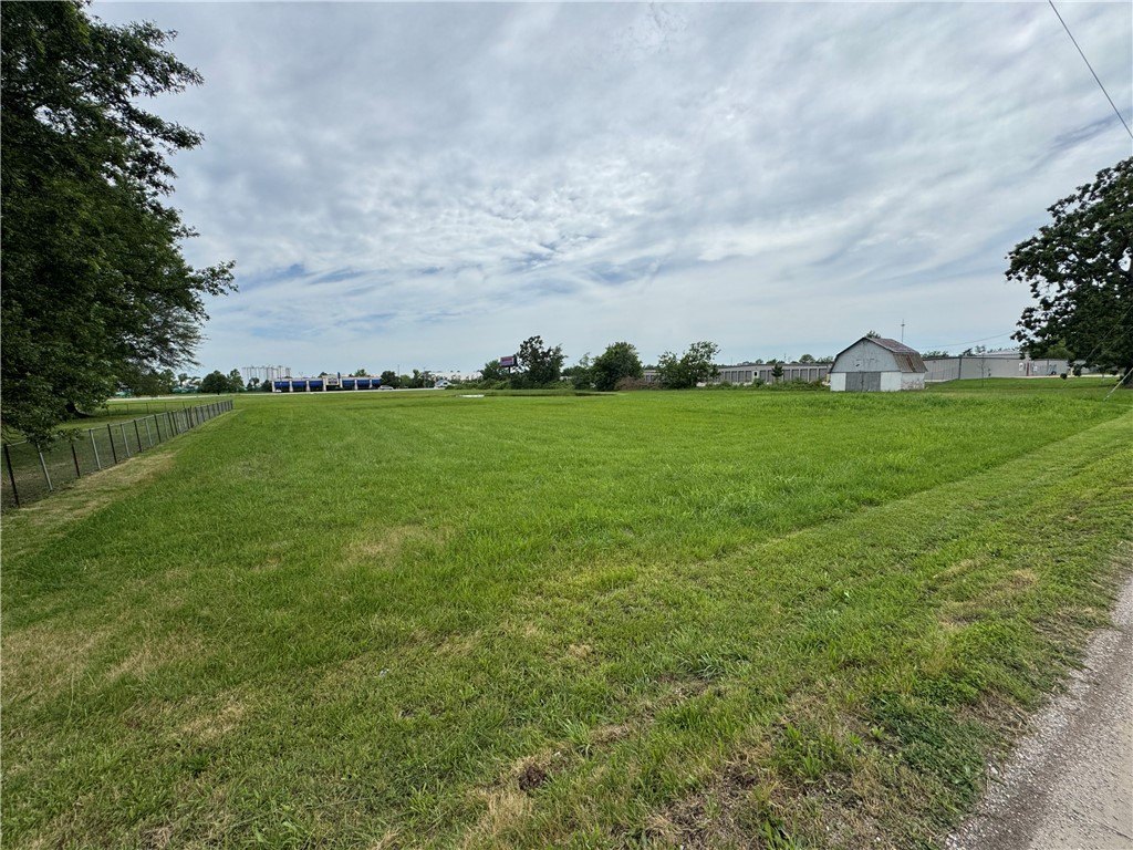
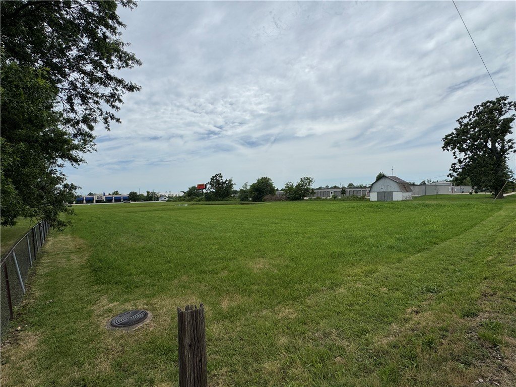
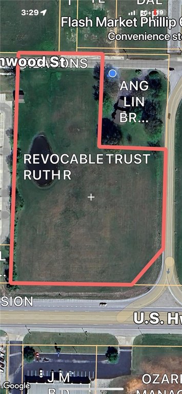
- 4.37 flat, usable acres with approximately 400 feet of Hwy 412 frontage.
- Development potential with possible access from 3 sides (Hwy 412, E. Kenwood St, access road).
- Excellent Hwy 412 visibility and frontage.
- Utilities available at the street (Public Water and Sewer).
- Close proximity to key attractions: Approx. 1 mile from Oklahoma line & Cherokee Casino, 2 miles from new WOKA Whitewater Park.
- Zoned Residential/Agricultural with strong commercial potential.
Overview
The parcel is located on W 412 Highway in Siloam Springs, Arkansas, with frontage on Hwy 412 and depth toward E. Kenwood Street. The public remarks indicate possible access from Hwy 412, E. Kenwood St, and an access road to Hwy 412, which may support flexibility in future site planning. The area context in the remarks references proximity to the Oklahoma line and Cherokee Casino, as well as nearby Whitewater Park.
The land is currently zoned residential/agricultural, and the seller’s materials highlight development potential for future commercial use. With its level grading and substantial highway frontage, the property may be of interest to buyers looking to evaluate redevelopment options and site access opportunities for a future project, subject to zoning and approvals.
Current Use by Public Records
Map
- City
- Siloam Springs
- County
- Benton
- State
- Arkansas
- Longitude
- -94.529626
- Latitude
- 36.173155