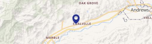
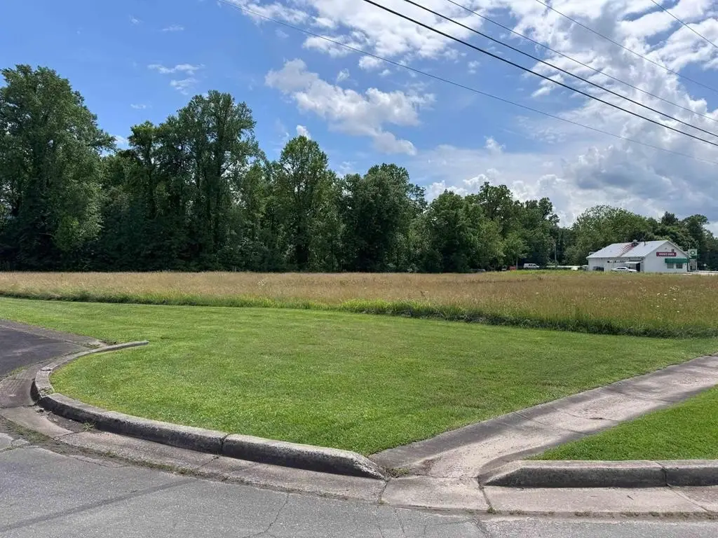
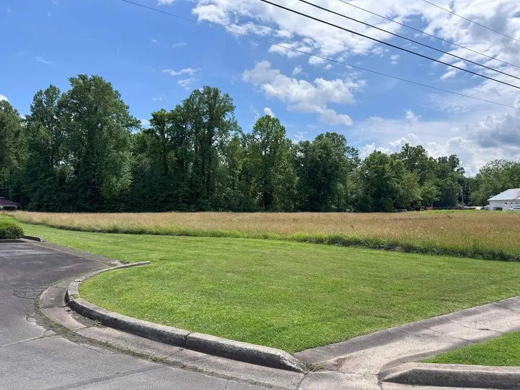
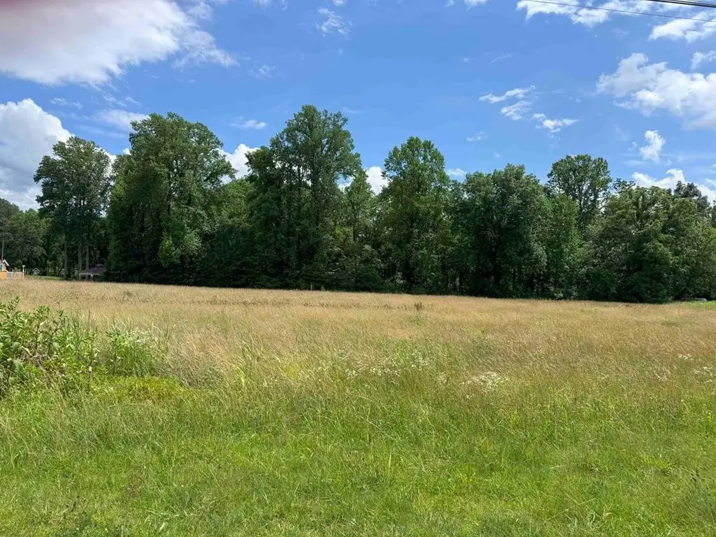
4.27 Upper Valley Lane, Andrews, NC 28901
- Added:
- Jun 13, 2025
- Days on Market:
- 388
- Last Refresh:
- Jul 5 at 12:06 pm
Property Features for 4.27 Upper Valley Lane
General Information
- Property type
- Land
- Property subtype
- Other
- Zoning
- C-3 General Business
- Standard status
- Active
- APN
- 555616847792000
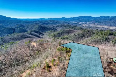
- Lot size
- 4.27 Acres
Taxes and HOA fees
- Tax Year
- 2024
- Tax Annual Amount
- 1563
Utilities
- Sewer type
- Public Sewer
- Water source
- Public
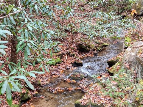
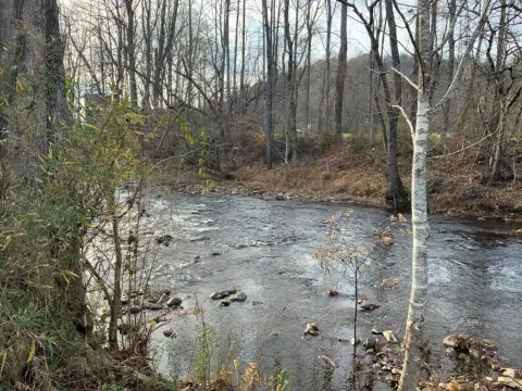
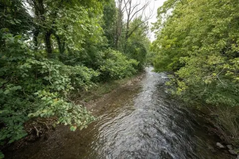
- Water front
- 1
Listing agent Kristine Flaig License #201939 (828) 321-3101
Listing office Nantahala Real Estate 17838 Wayah Road, Topton, NC (828) 321-3101
Listing date Jun 13, 2025
Copyright © 2026 Hive MLS. All rights reserved. All information provided by the listing agent/broker is deemed reliable but is not guaranteed and should be independently verified.
HighLights
- Public water service available
- Public sewer service (public sewer) available
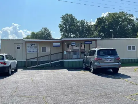
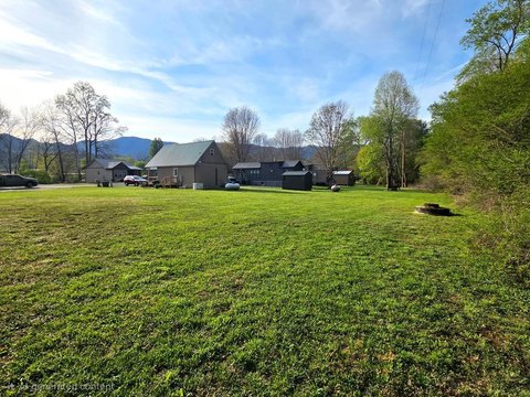
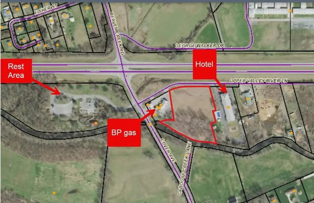
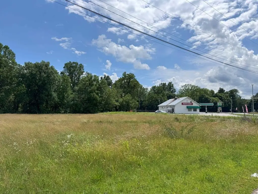
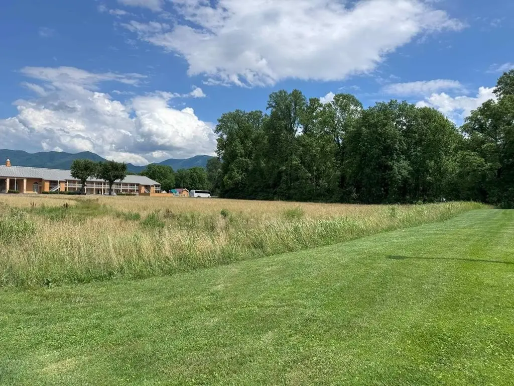
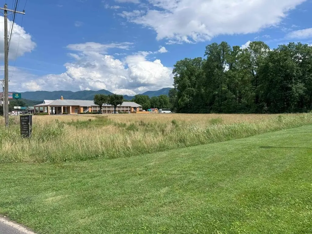
- Situated next to a BP station and a hotel on the highway
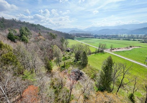
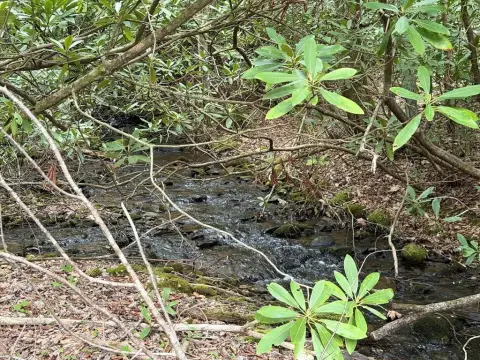
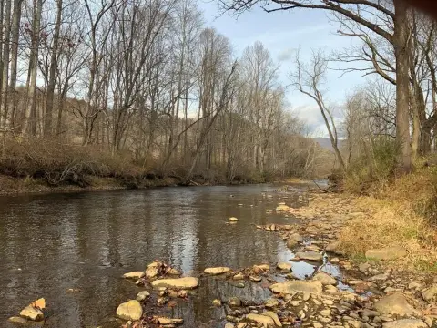
- Valley River location mentioned in the remarks
Overview
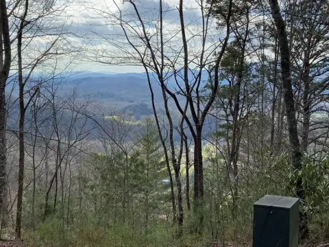
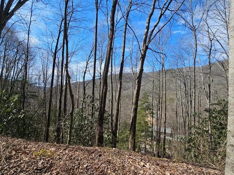
The property is positioned in Andrews next to a BP station and a hotel on the highway, with the stated benefit of being near a rest area where travelers stop. The listing also emphasizes its highway-adjacent location along Upper Valley Lane.
For buyers seeking a commercial land location with municipal utilities available and C-3 General Business zoning, this site provides a straightforward platform for a future development concept. The waterfront setting on the Valley River may also support uses that value proximity to water, while the surrounding mix of services and lodging aligns with traveler-oriented commercial activity described in the remarks.
Current Use by Public Records
Map
- City
- Andrews
- County
- Cherokee
- State
- North Carolina
- Longitude
- -83.824066
- Latitude
- 35.201754