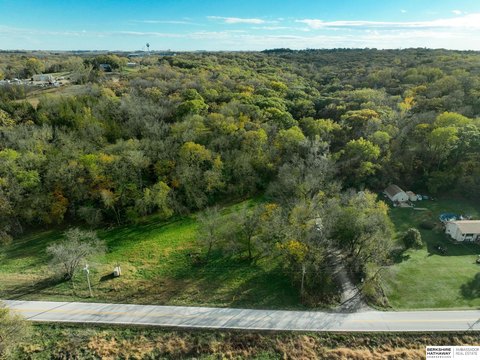
334th & Church Road, Louisville, NE 68037
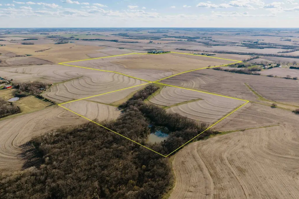
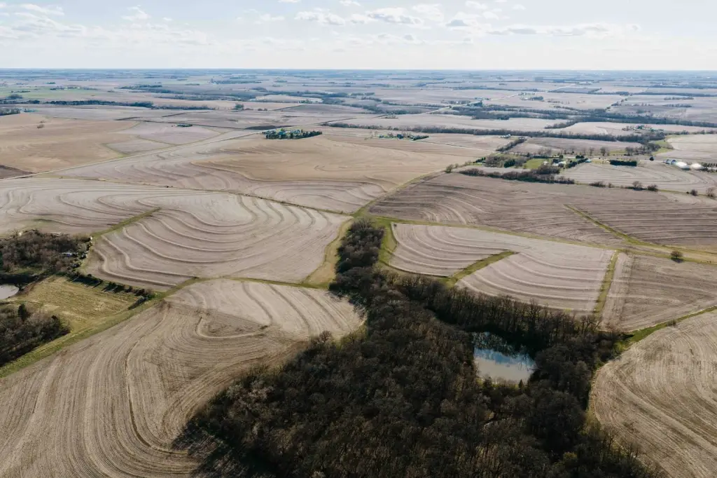
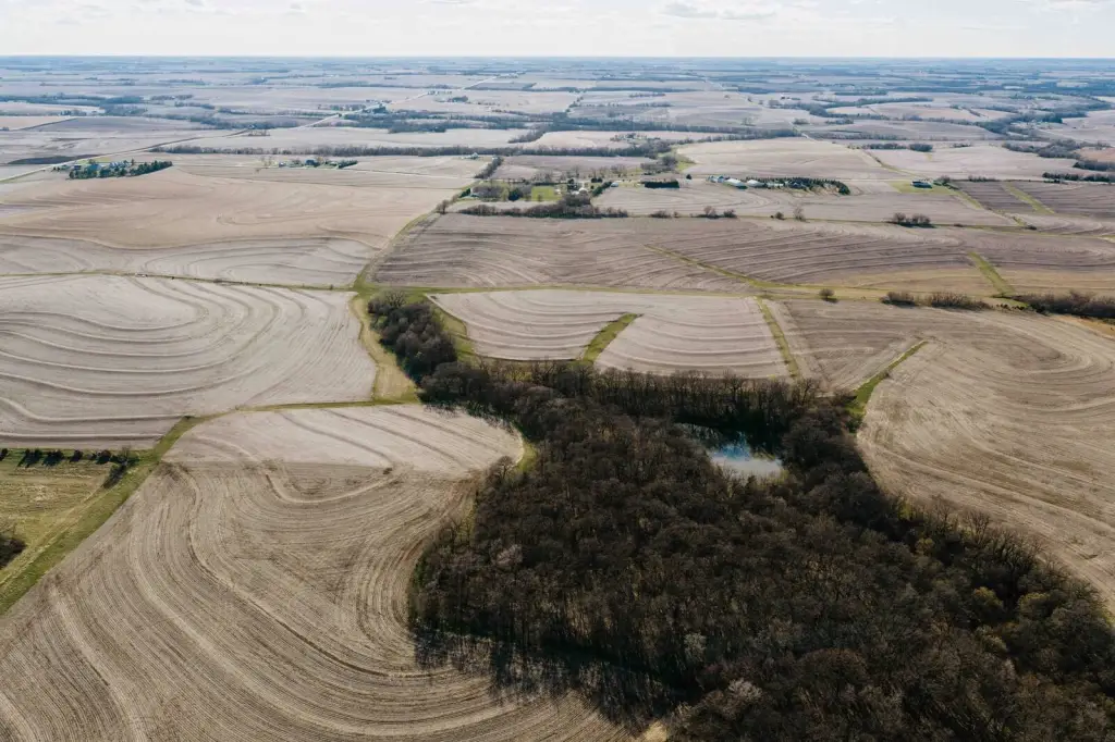









LAND - Louisville, NE
- Added:
- Mar 18, 2026
- Days on Market:
- 112
- Last Refresh:
- Jul 7 at 2:06 am
Property Features for 334th & Church Road
General Information
- Property type
- Land
- Property subtype
- Other
- Standard status
- Active Under Contract
- Lot size
- 197.00 Acres
Taxes and HOA fees
- Tax Annual Amount
- 17140
Listing agent Tyler Johnson (308) 991-9544
Listing office American Legacy Land Company 17117 Burt St., Omaha, NE (308) 991-9544
Listing date Mar 18, 2026
Copyright © 2026 My State MLS. All rights reserved. All information provided by the listing agent/broker is deemed reliable but is not guaranteed and should be independently verified.
HighLights
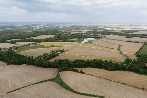
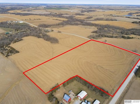
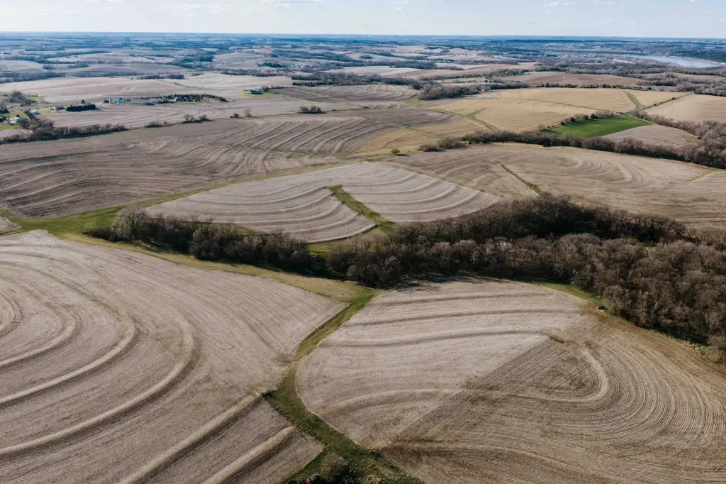
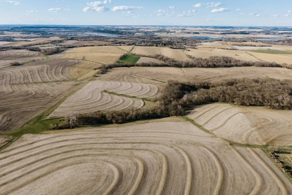
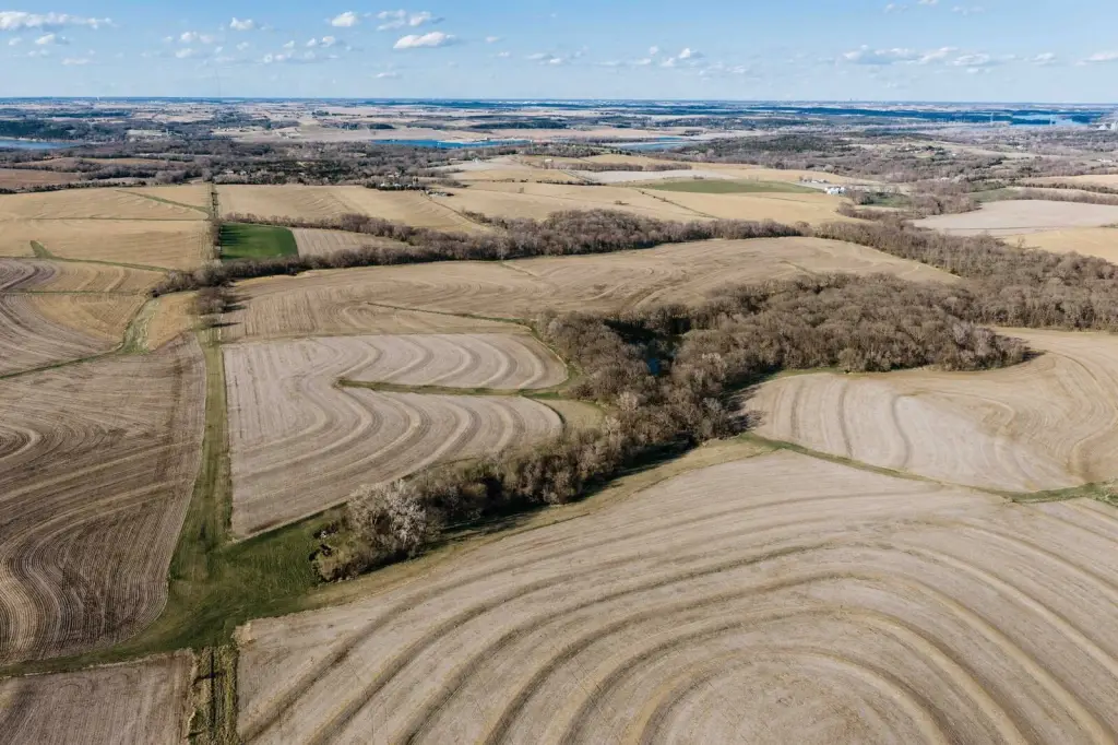
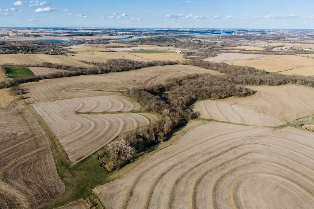
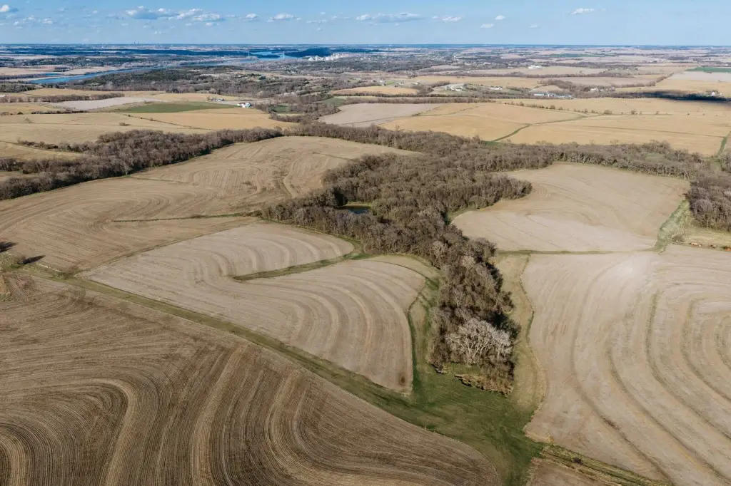
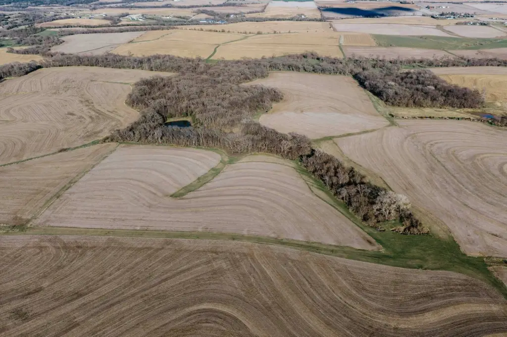
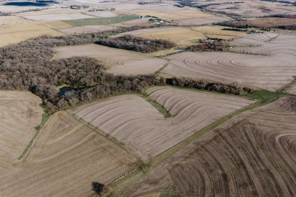
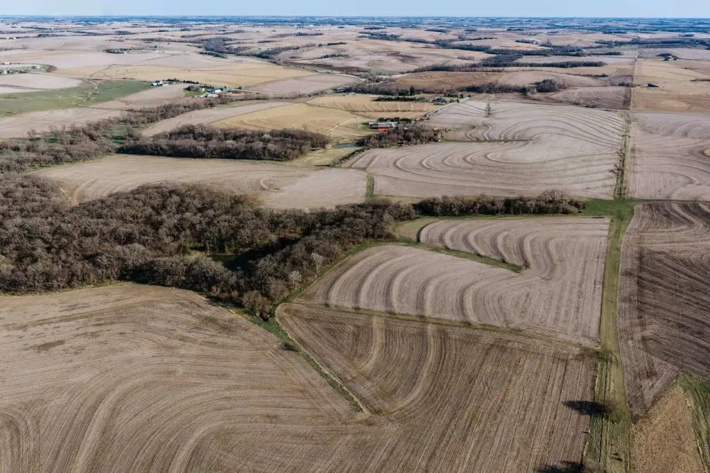
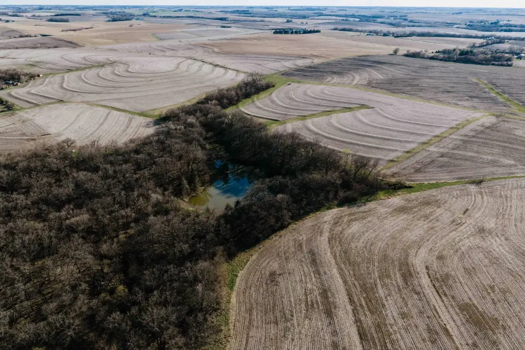
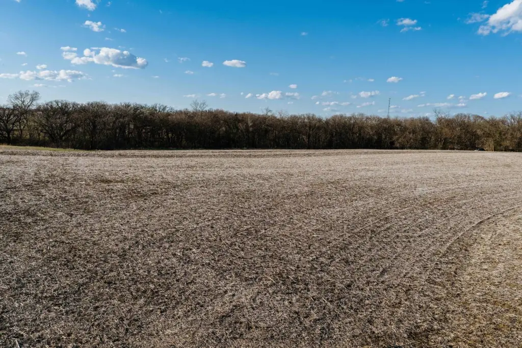
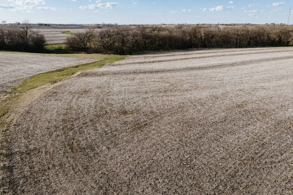
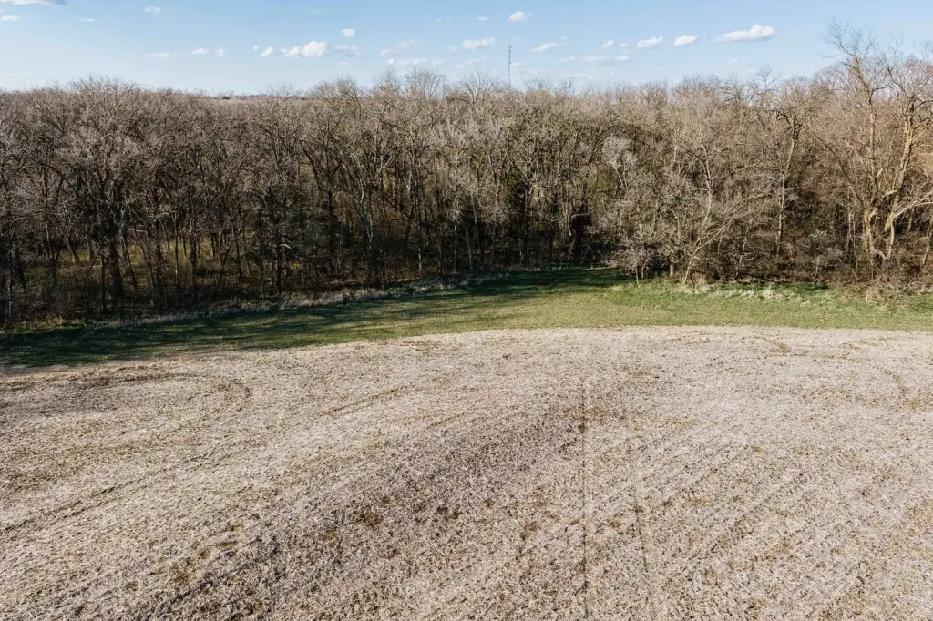
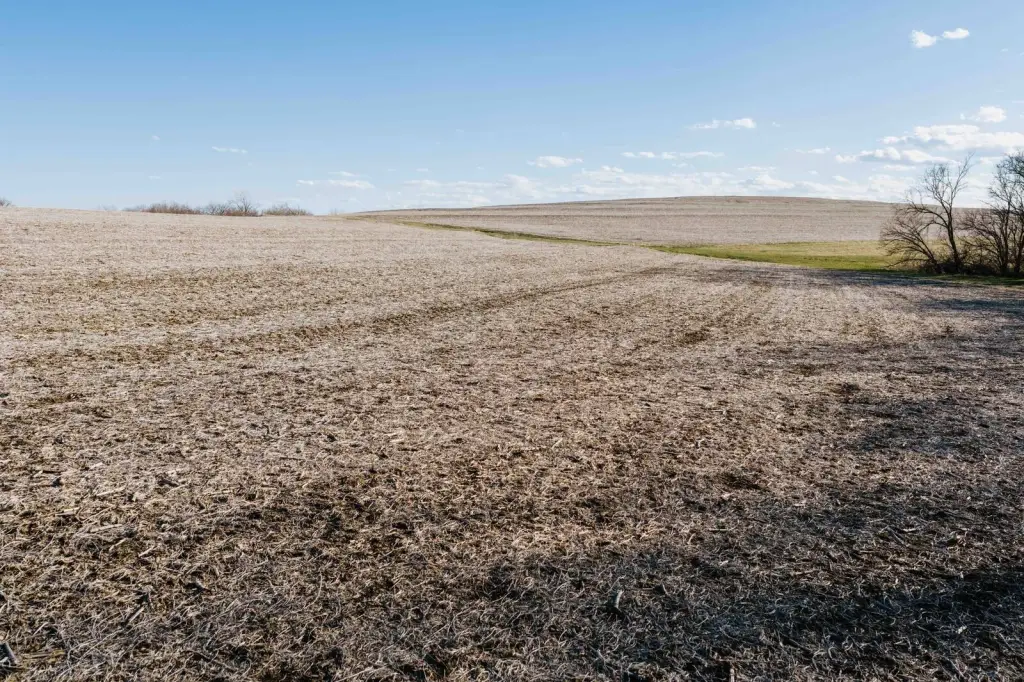
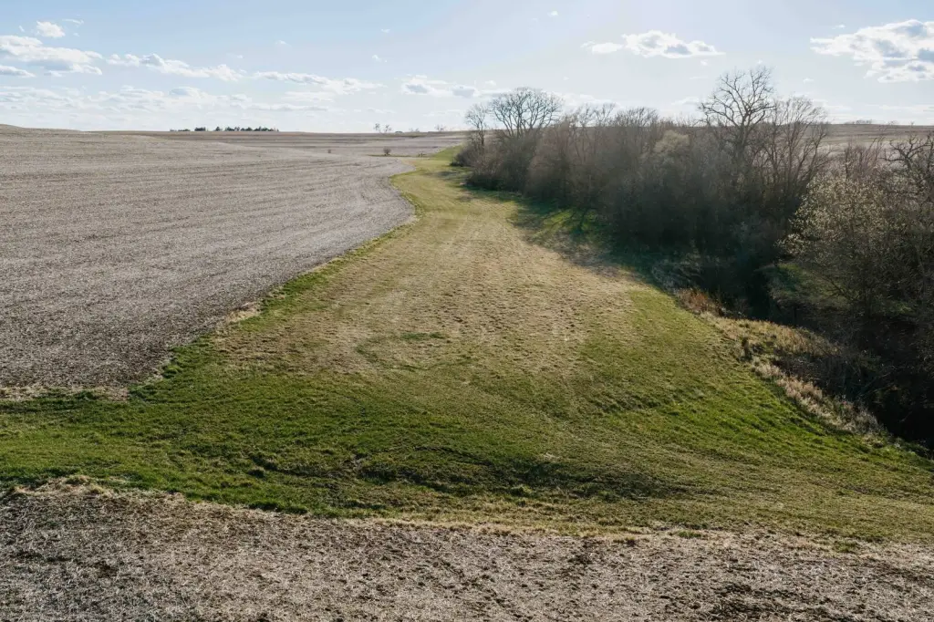
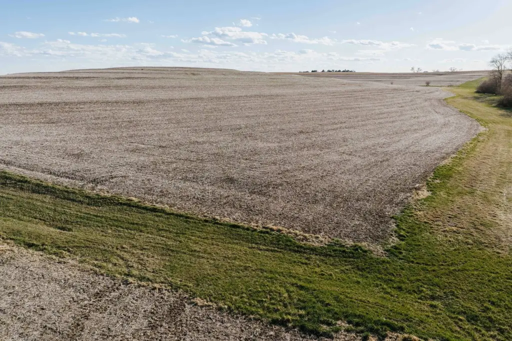
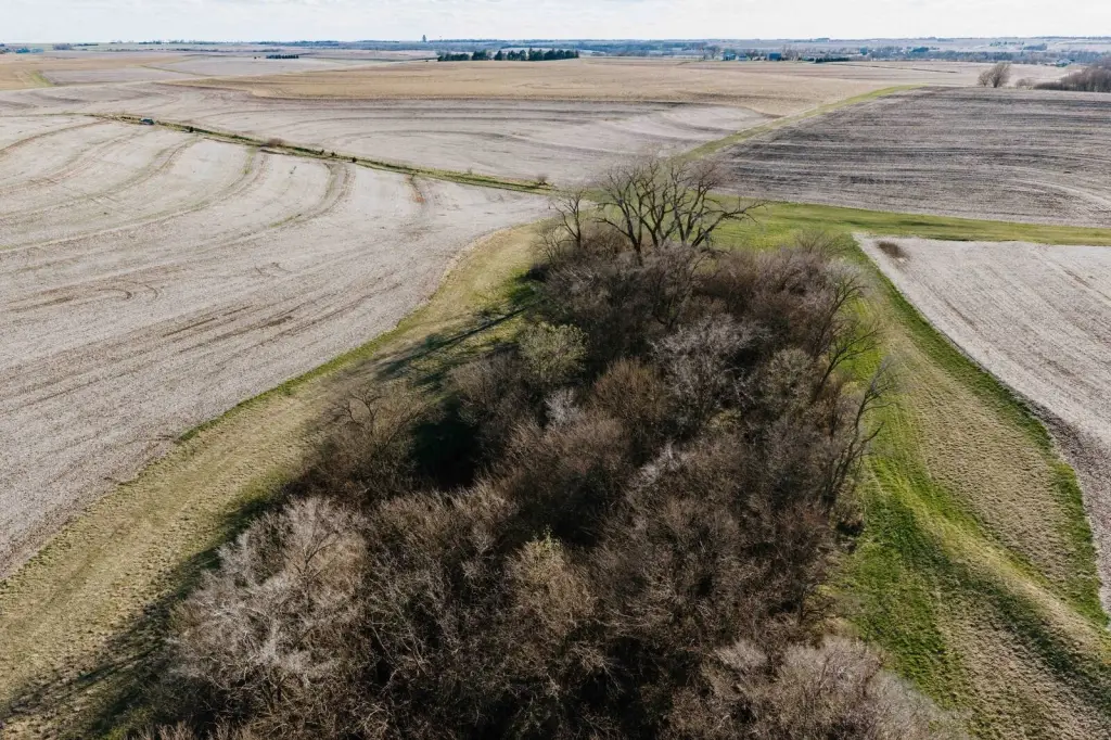
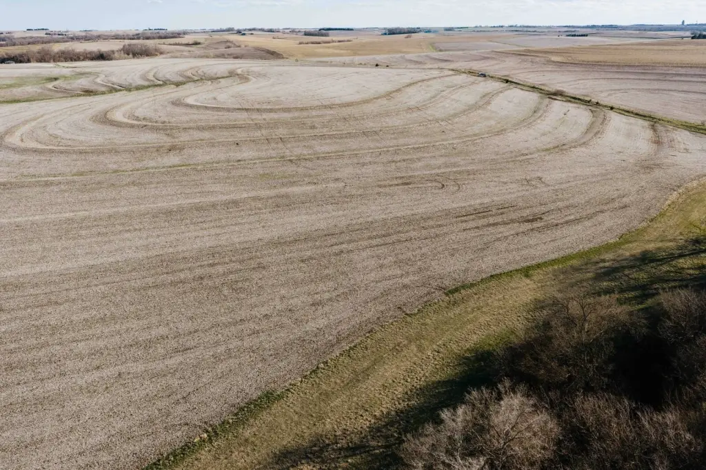
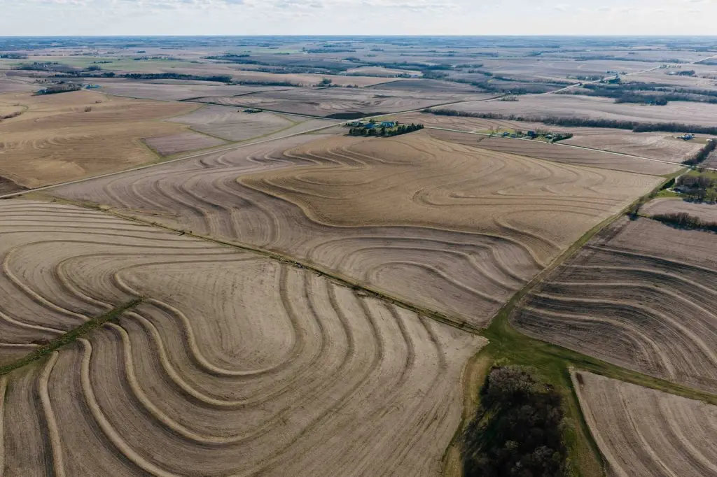
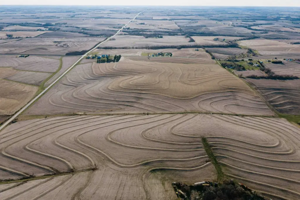
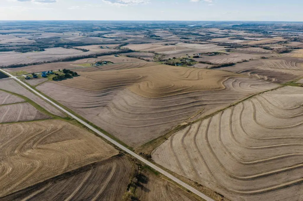
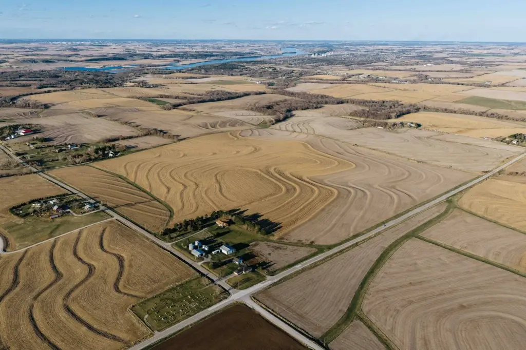
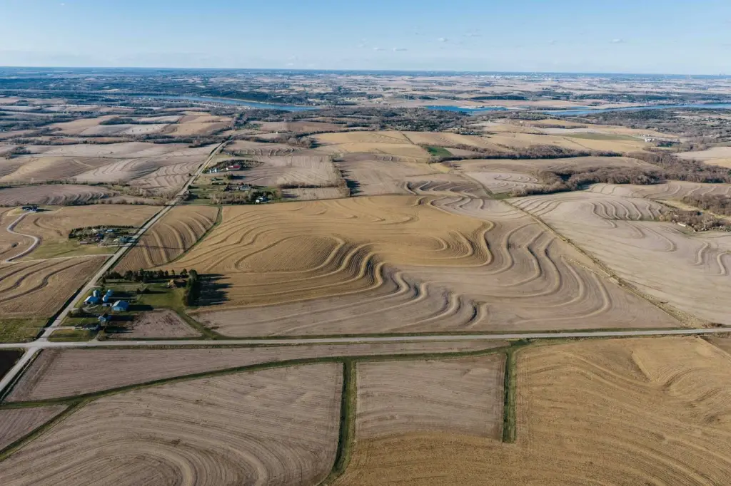
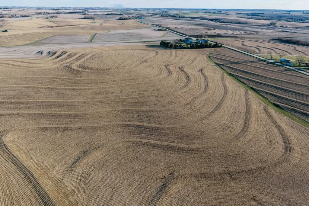
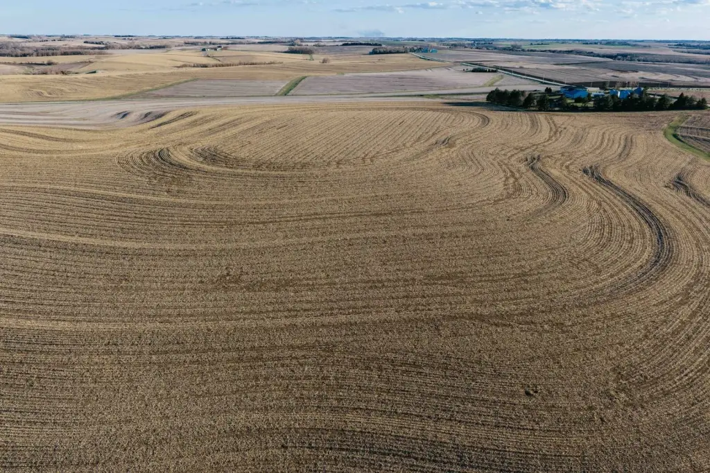
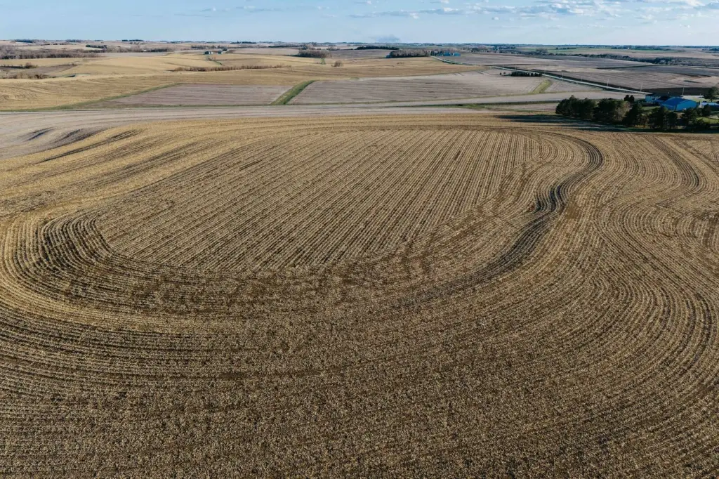
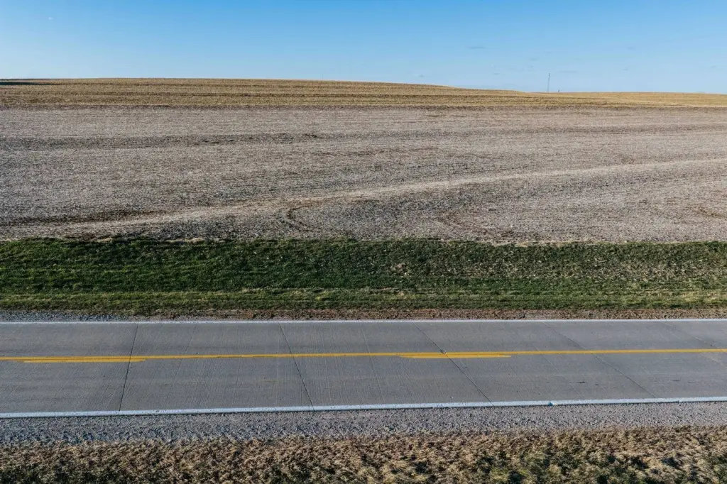
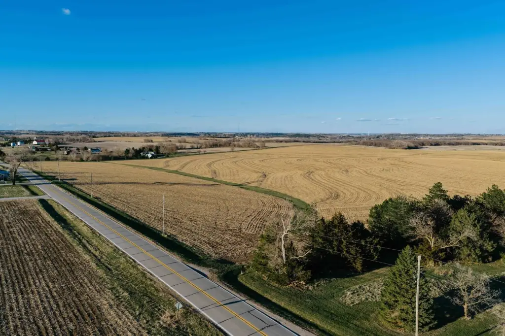
- 197 +/- acres near Louisville, NE, including 176 tillable acres
- NCCPI soil score of 84; predominant soil type is marshall silty clay loam with 6 to 11 percent slopes
- Drain tile installed in 2008 and 2009
- Leased for the 2026 growing season
- Two paved access roads and 6.5 miles outside Louisville, NE
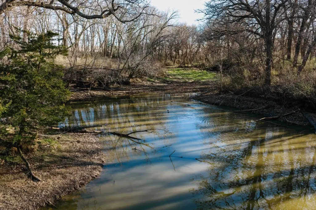
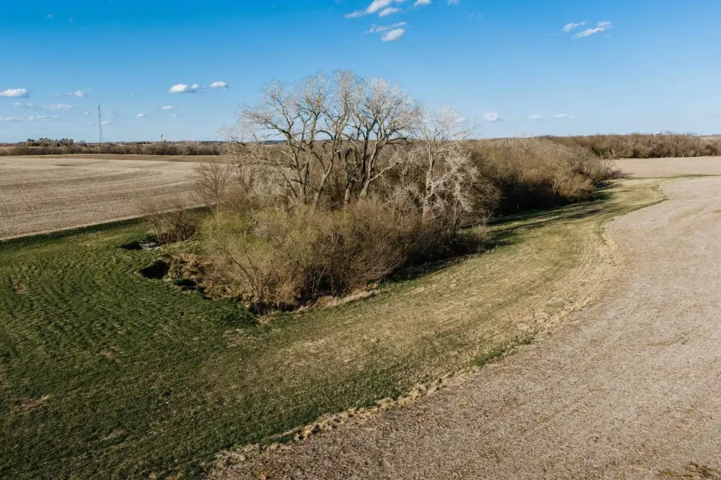
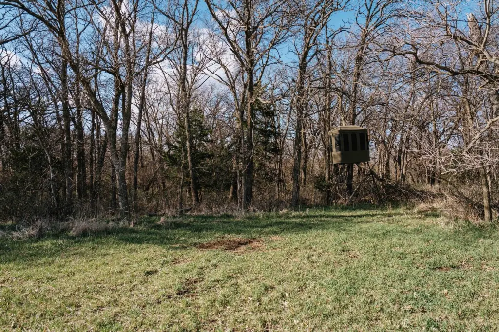
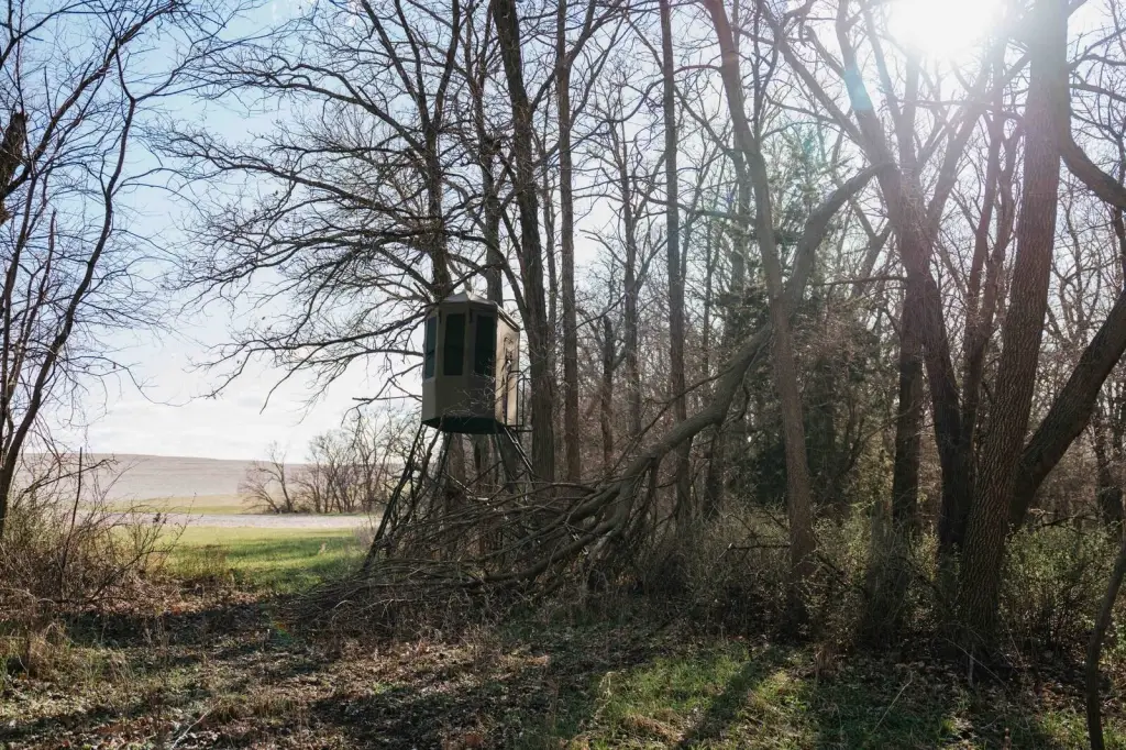
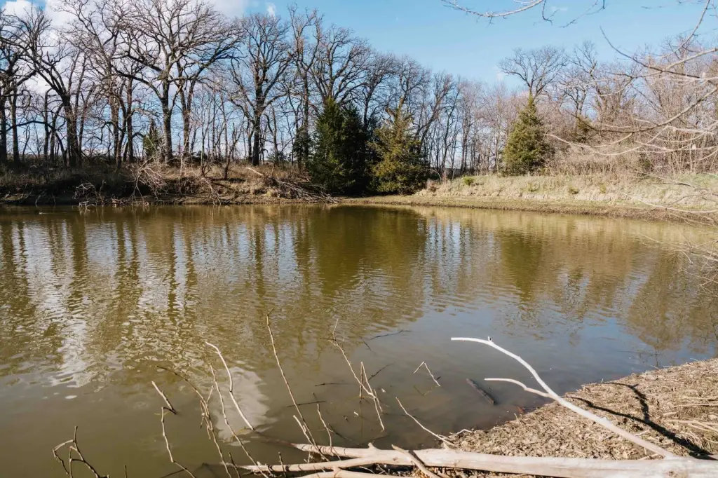
- Elmwood‑Murdock School District; northeast “back 40” includes a pond surrounded by trees
Overview
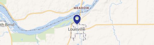
The land is located just 6.5 miles outside of Louisville, Nebraska and is accessed via two paved access roads. It sits within the Elmwood-Murdock School District. By driving distance, it is approximately 7.5 miles from the I-80 Ashland exit and about 9 miles from the I-80 Greenwood exit.
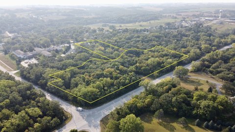
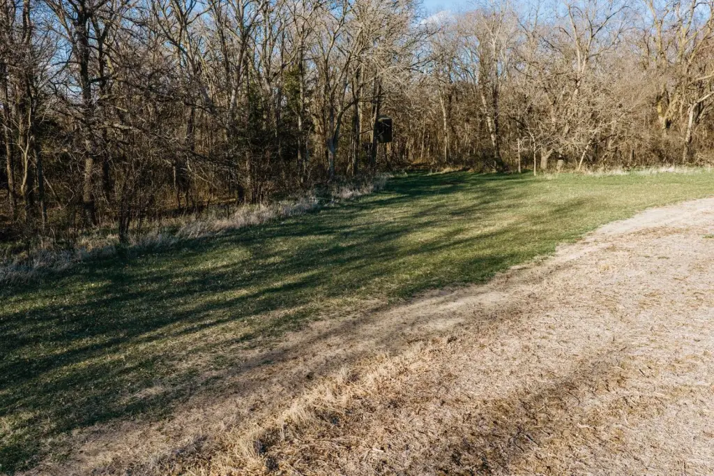
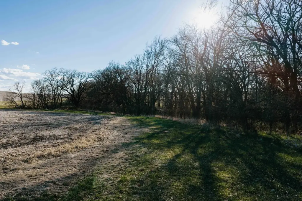
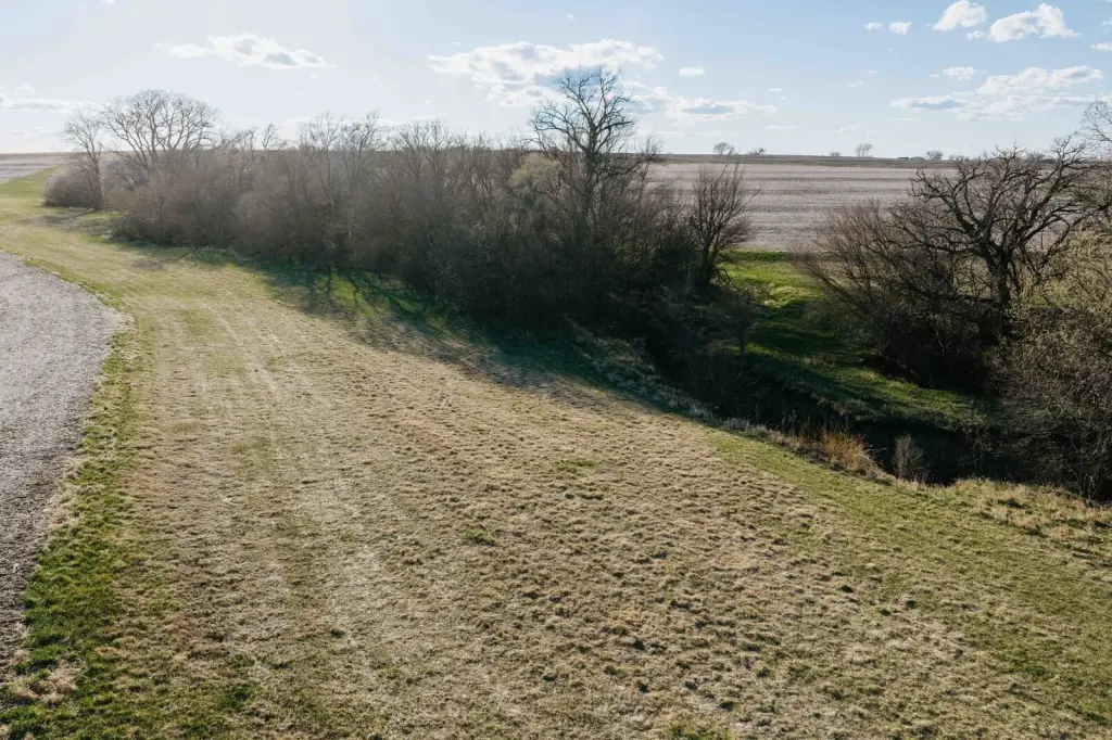
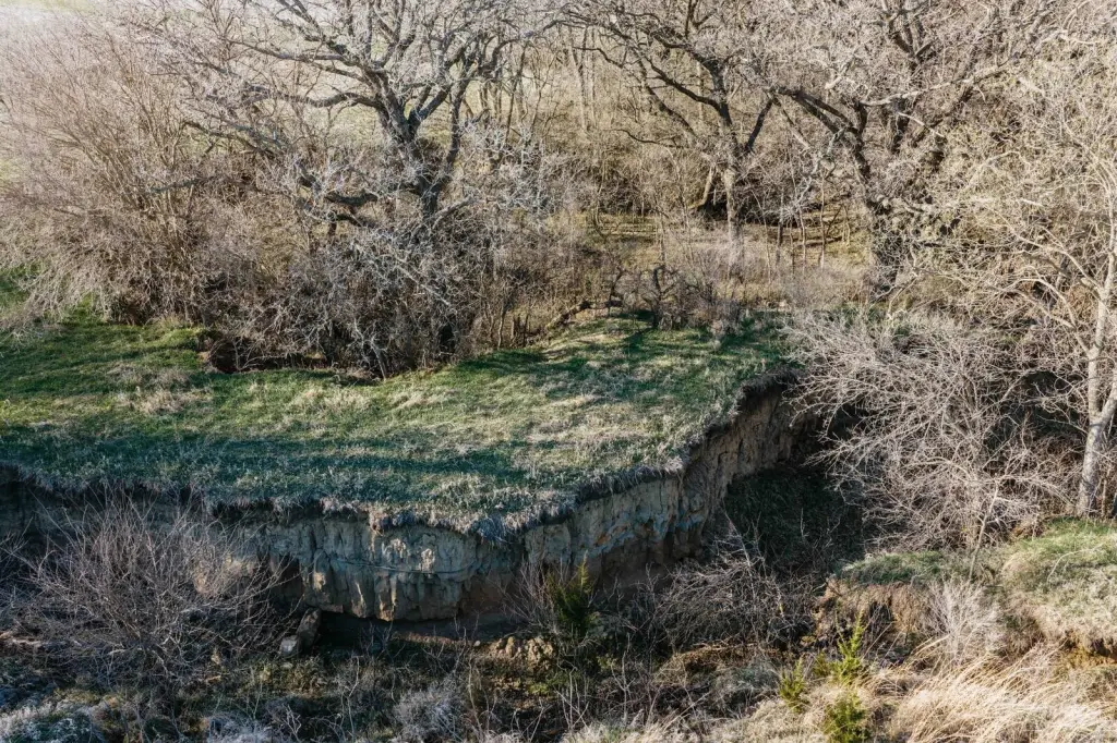
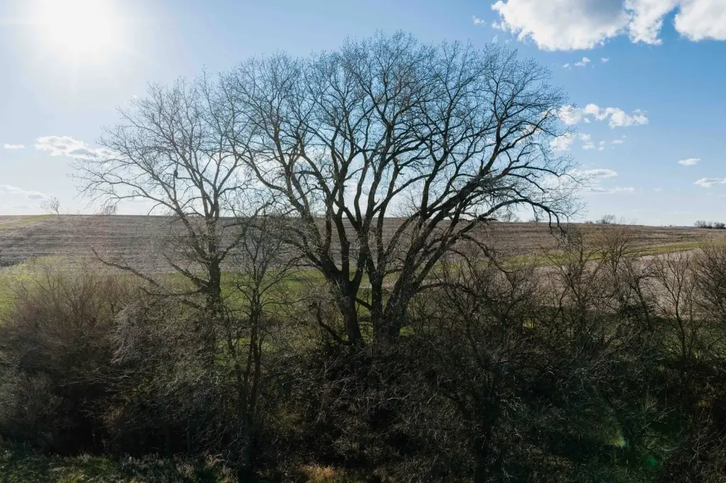
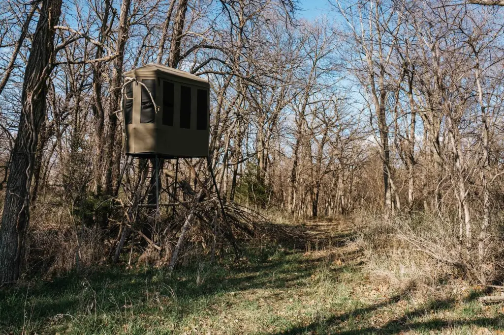
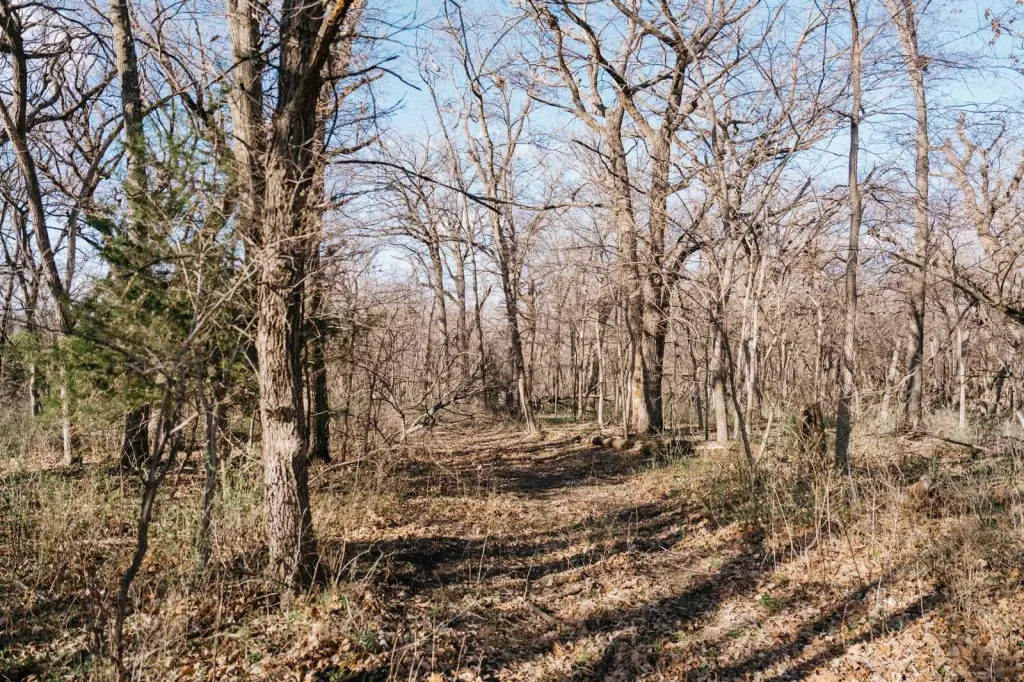
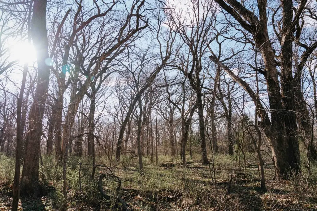
For operators and investors seeking productive farmland, the combination of tillable acreage, documented drainage improvements, and soil quality metrics supports an agricultural use. The back 40 in the northeast corner includes a pond surrounded by trees, creating a secluded natural feature that can complement the farm operation while offering an additional recreational aspect to the overall tract.
Current Use by Public Records
Map
- City
- Louisville
- County
- Cass
- State
- Nebraska
- Longitude
- -96.2319
- Latitude
- 40.960005