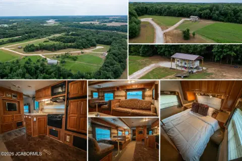
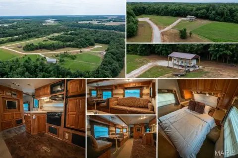
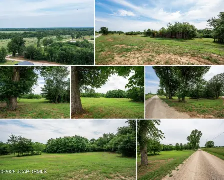
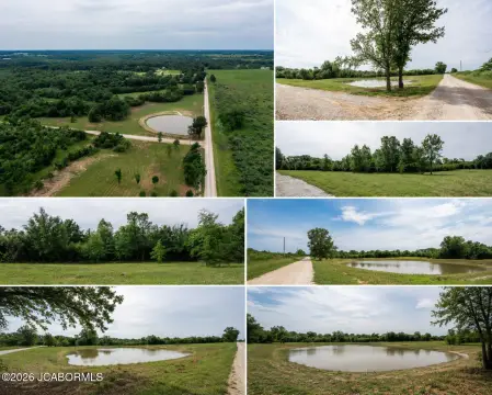
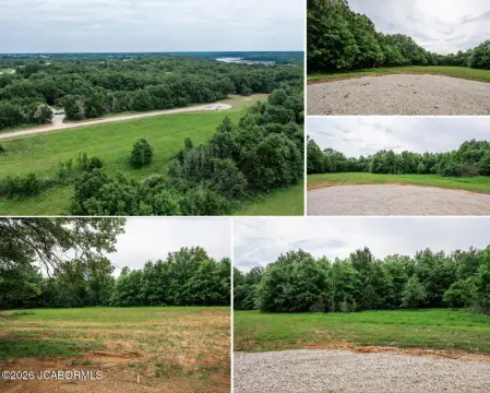
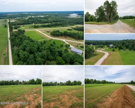
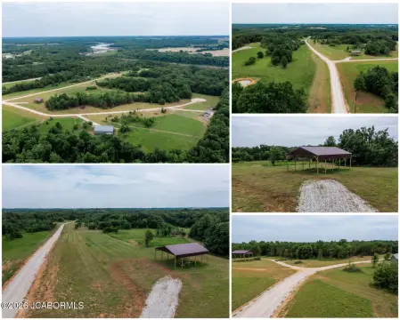
32 Halyon Estates, Perry, MO 63462
Land - Perry, MO
- Added:
- Jun 16, 2026
- Days on Market:
- 22
- Last Refresh:
- Jul 7 at 12:06 am
Property Features for 32 Halyon Estates
General Information
- Property type
- Land
- Property subtype
- Other
- Zoning
- Residential
- Standard status
- Active
- APN
- 14-0.5-16-000-00-04.0000012
- Lot size
- 3.01 Acres
Taxes and HOA fees
- Expense value
- 200
- Expense
- Home Owner Assessments Fee
- Expense freq.
- Annually
Building Details
- Architectural style
- Other
Listing agent Kristina McMichael-Schwant License #2003013861 (573) 896-9991
Listing office McMichael Realty, Inc. 369 S. Summit Drive, Holts Summit, MO (573) 896-9991
Listing date Jun 16, 2026
Copyright © 2026 Mid America Regional Information Systems, Inc. All rights reserved. All information provided by the listing agent/broker is deemed reliable but is not guaranteed and should be independently verified.
HighLights
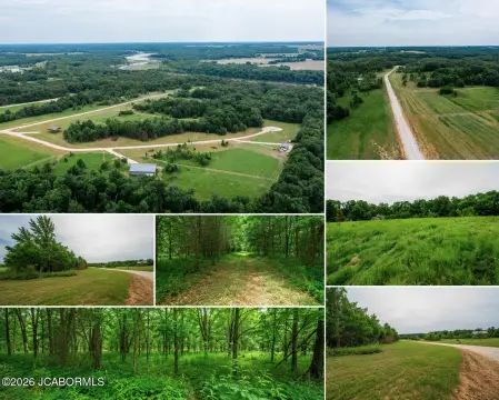
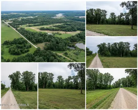
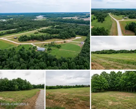
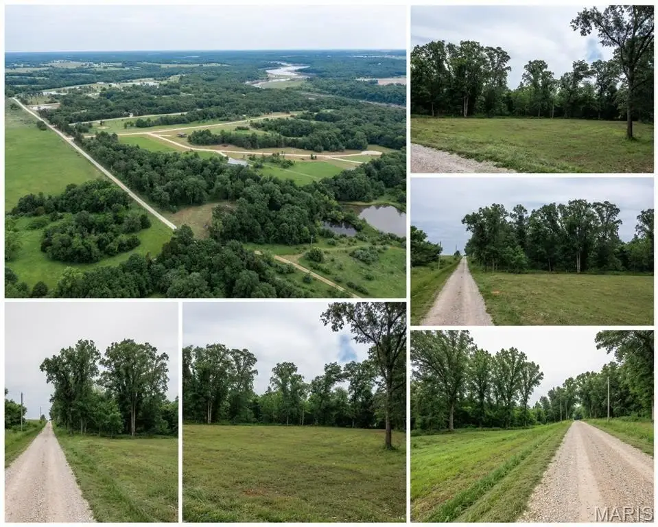
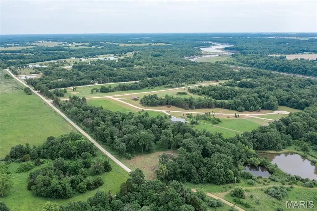
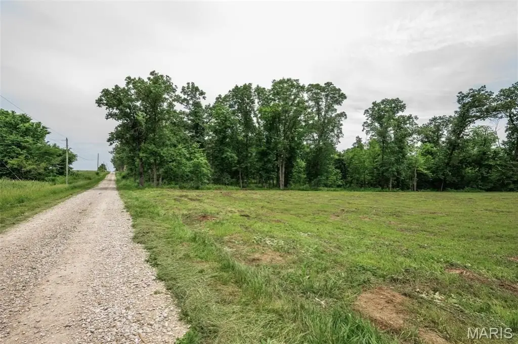
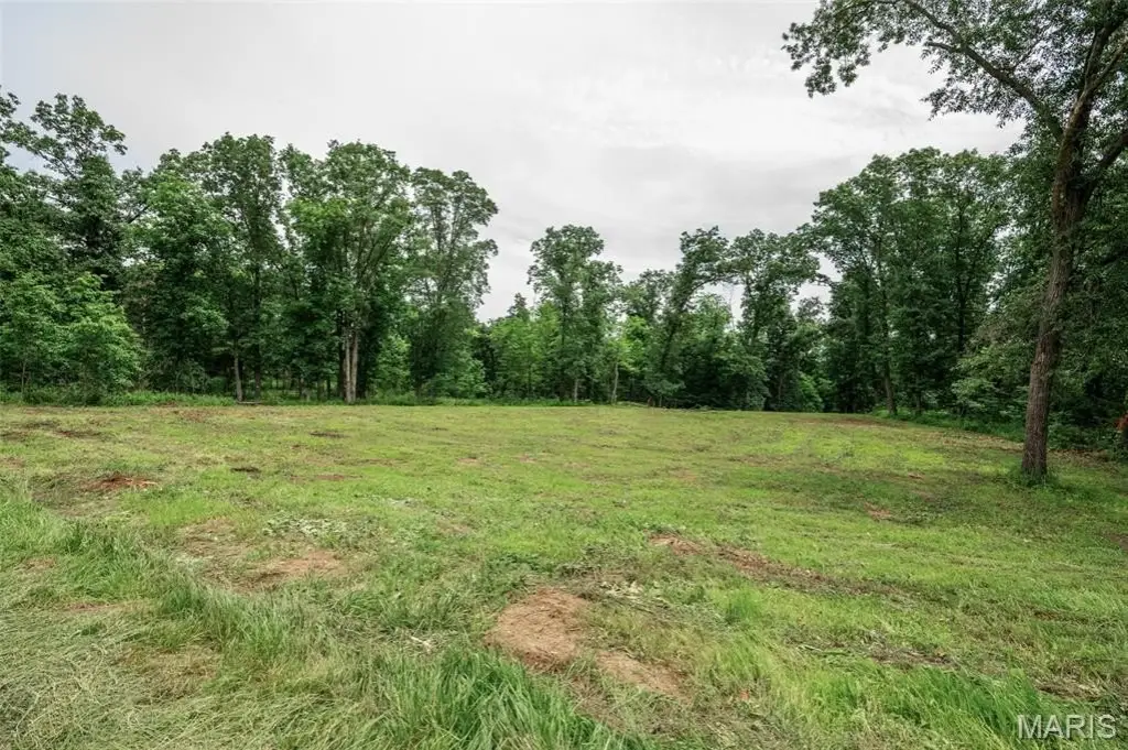
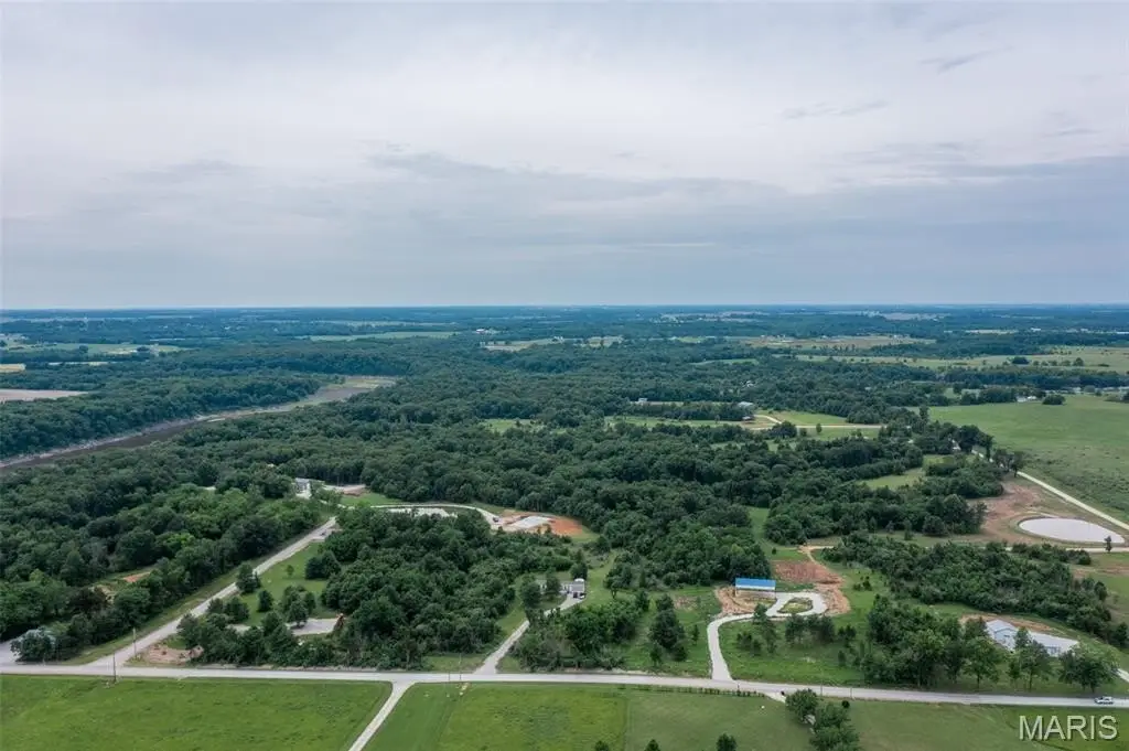
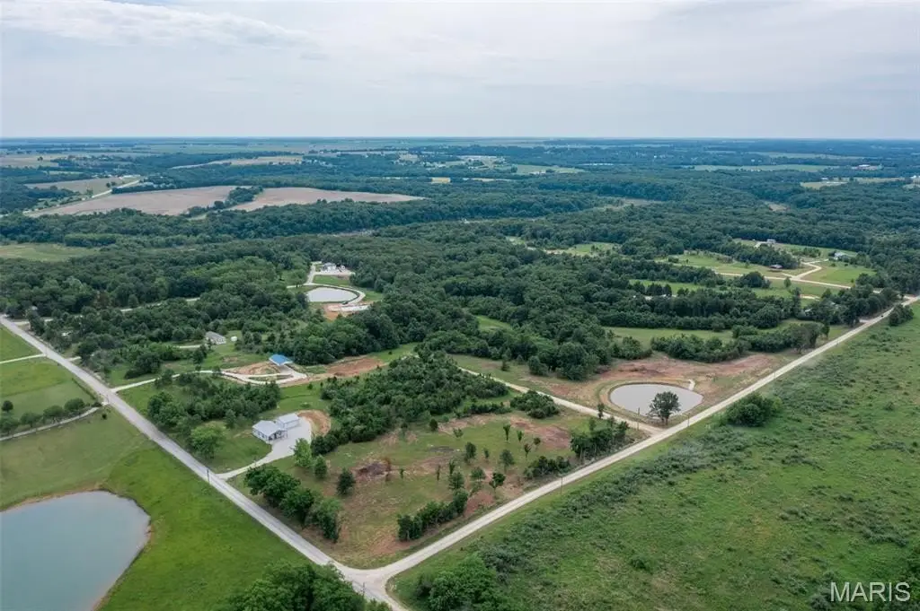
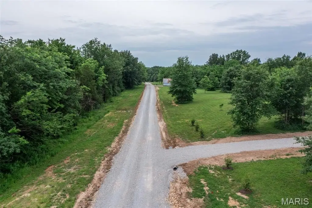
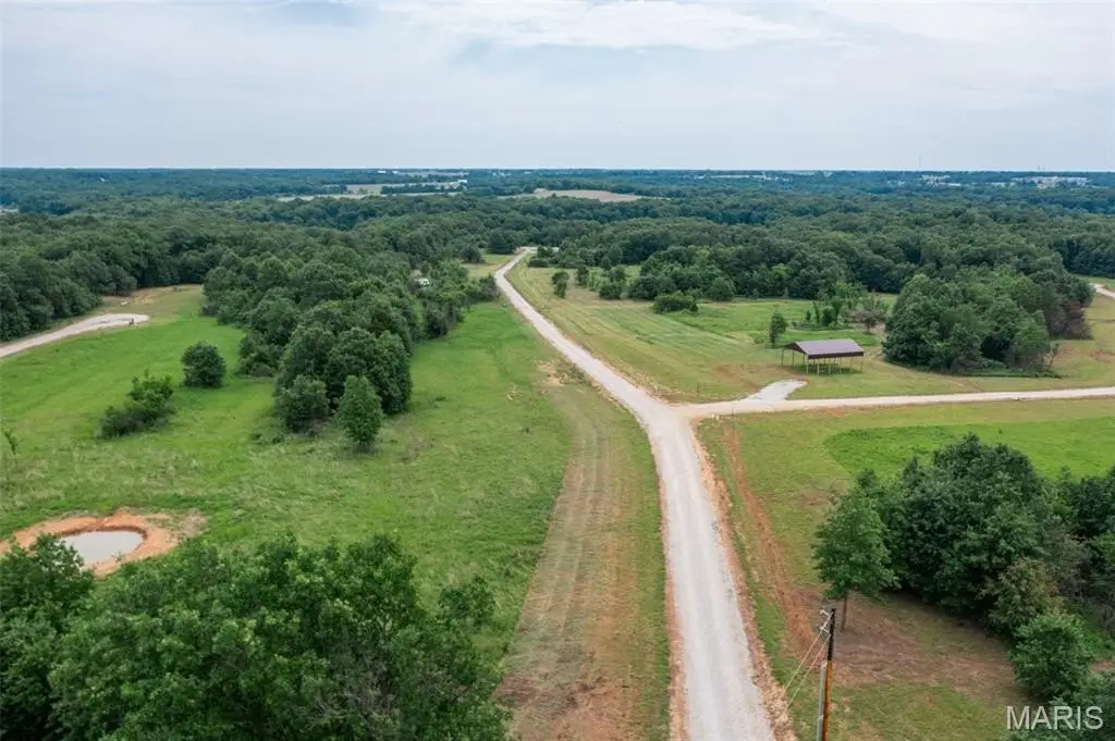
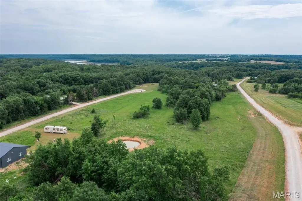
- Halyon Estates 3–5 acre building lots along the Route J corridor
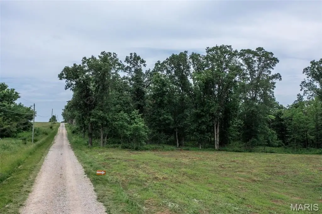
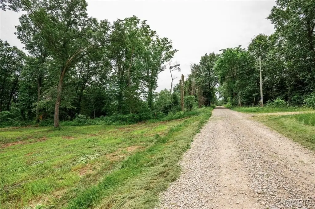
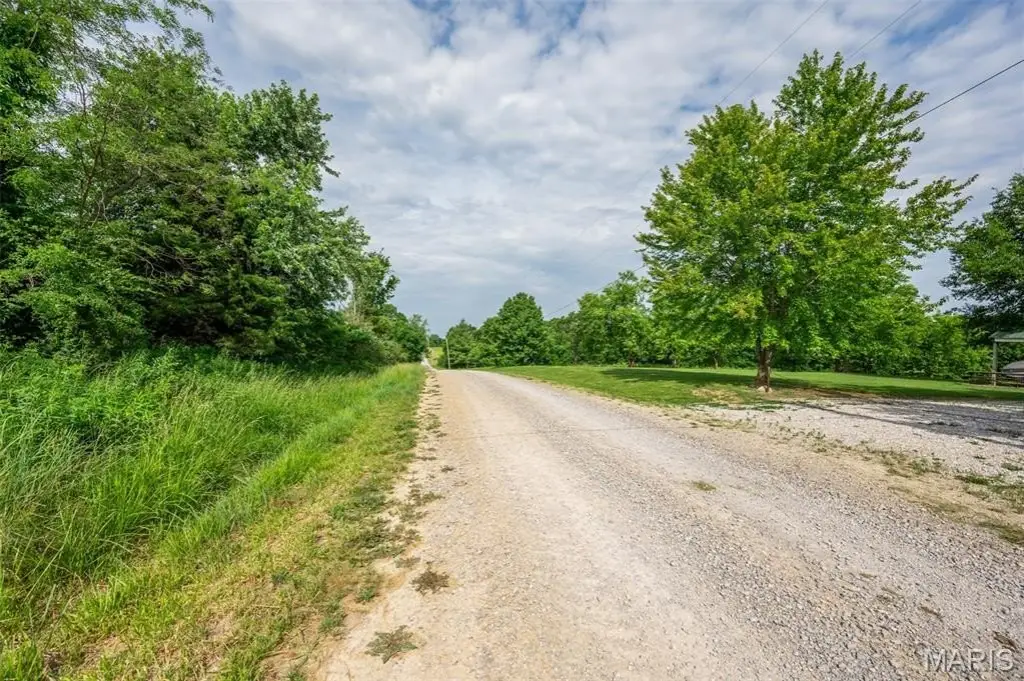
- Utilities at the roadside: water, electric, and internet already available
- No restrictions—suited for campers with the option to transition to a permanent structure
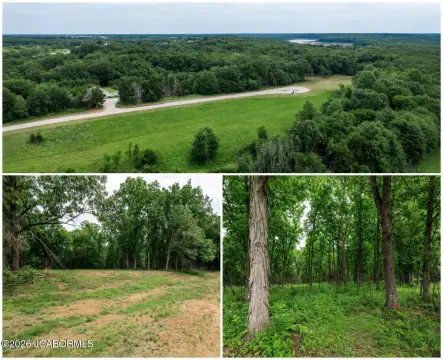
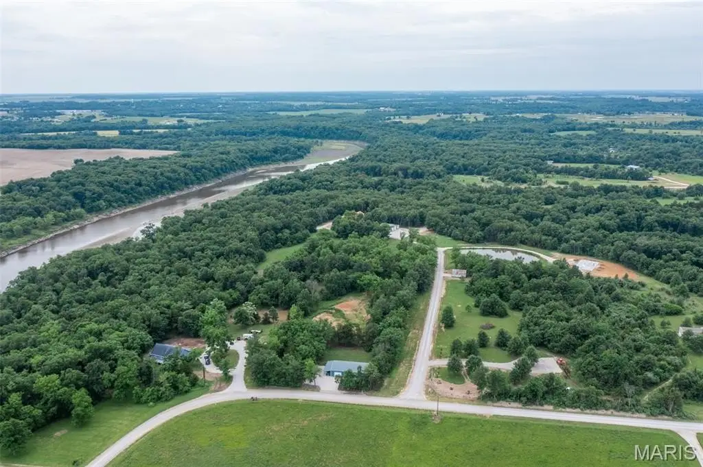
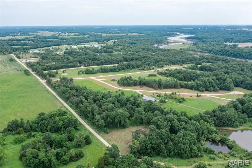
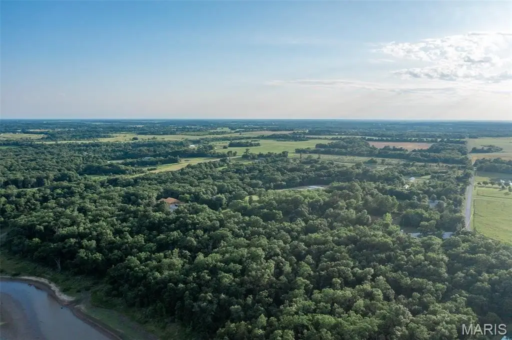
- Portion of the property backs up to 113 acres of Corps of Engineers land
- Two private parking areas at the ends of subdivision roads for access to the Corps land
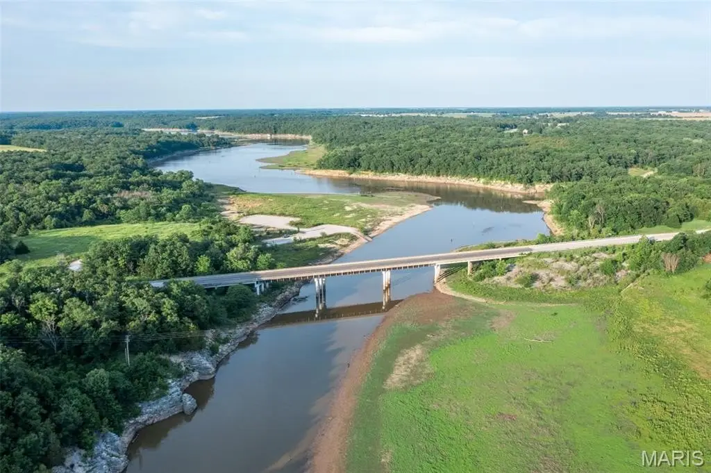
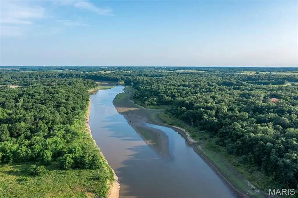
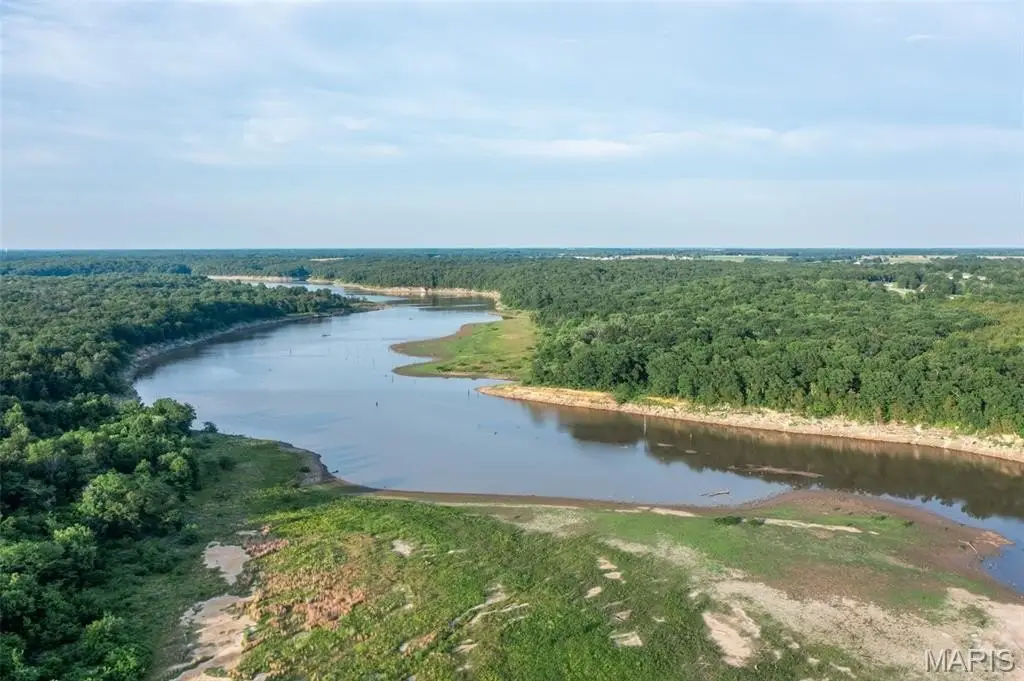
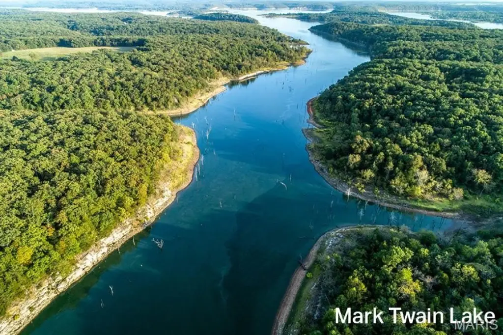
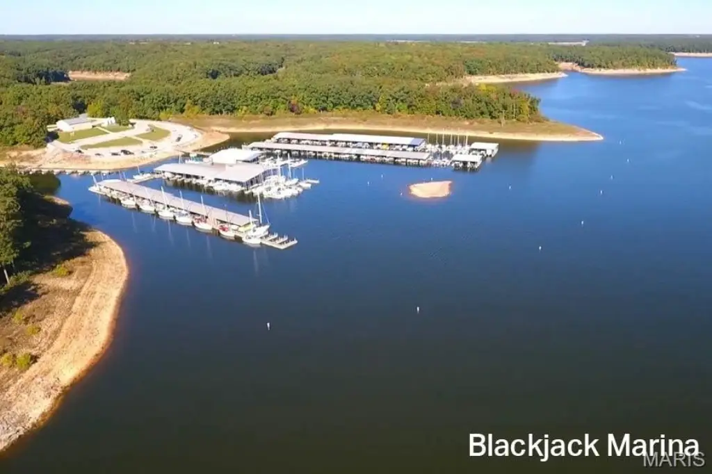
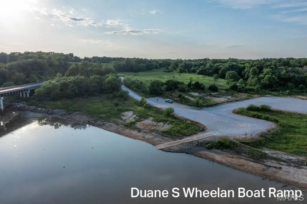
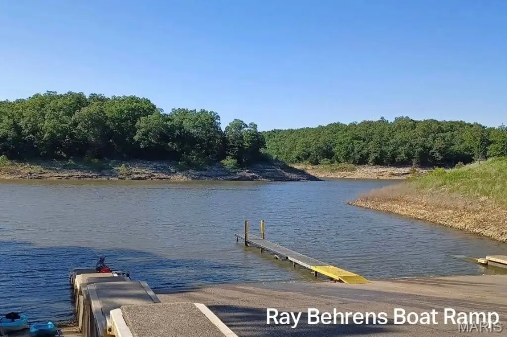
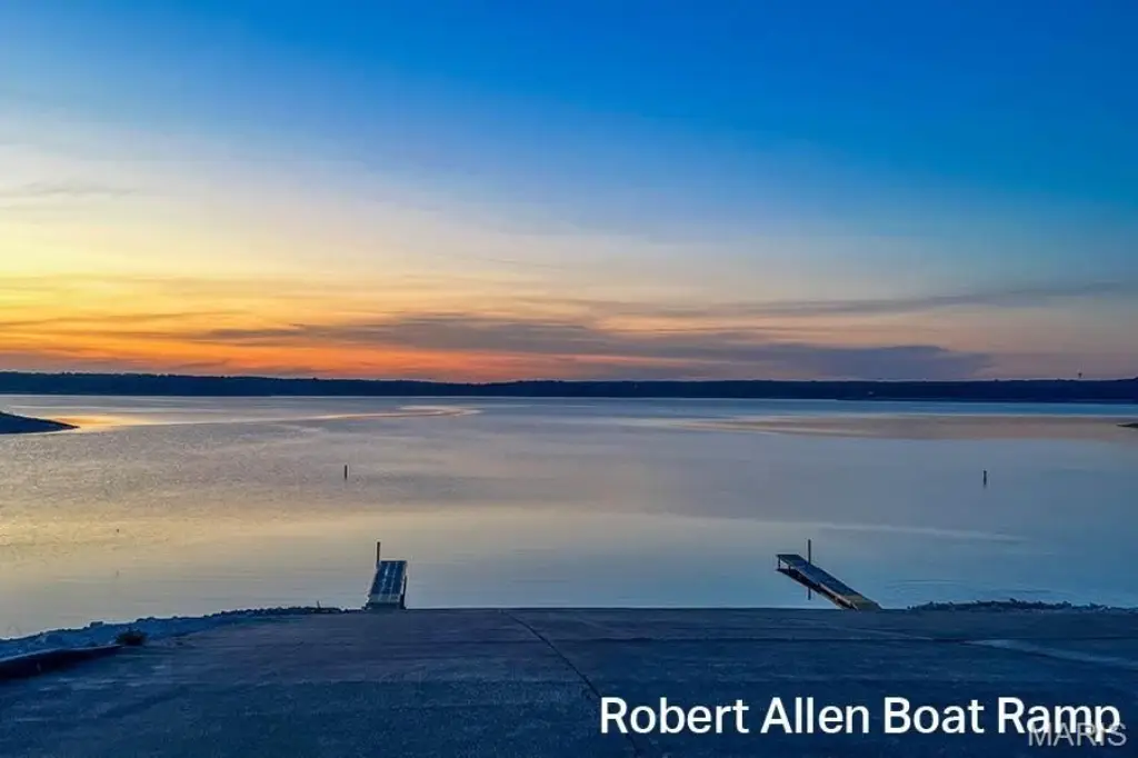
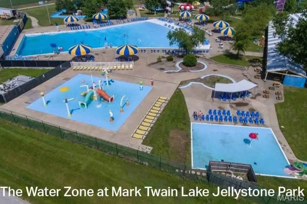
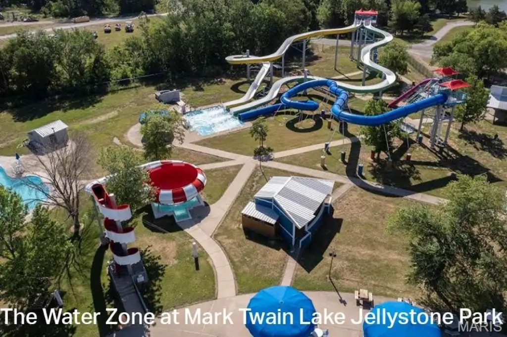
- Mark Twain Lake boat ramps are within minutes, with boating, fishing, sand beaches, and a waterpark
Overview
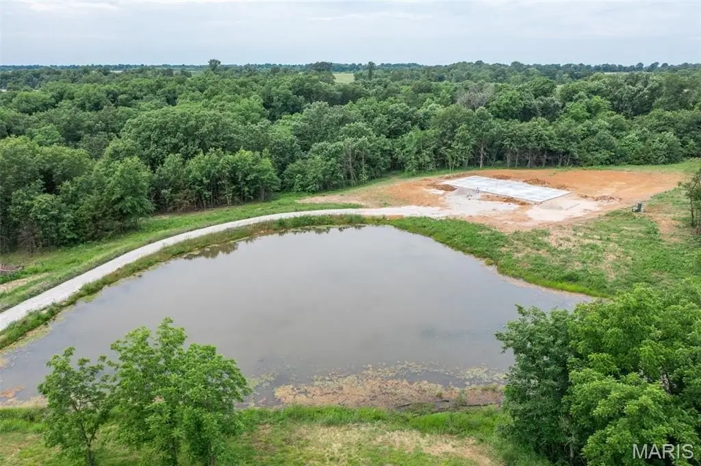
The tract is located along the Route J corridor in Ralls County and is part of a subdivision that includes two private parking areas at the ends of subdivision roads where the property borders Corps of Engineers land. Those parking areas are intended to provide convenient access for hiking, wildlife viewing, and related outdoor activities, with the subdivision backed by 113 acres of Corps land. The area also connects to recreation around Mark Twain Lake, with multiple boat ramps located within minutes of the subdivision.
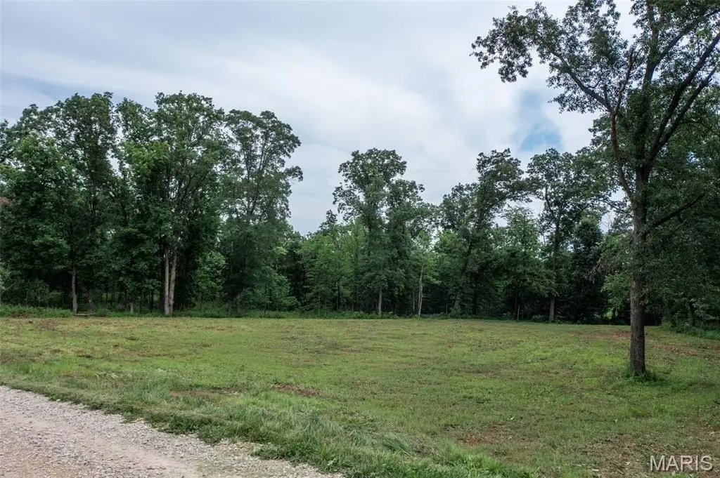
For buyers seeking space in a residentially zoned setting, this lot supports either recreational use or a long-term build plan, backed by nearby public lands for outdoor recreation. With essential utilities available at the roadside and build flexibility noted in the remarks, the property is suited to owner-occupants and buyers planning a country home or a gradual development approach.
Current Use by Public Records
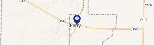
Map
- City
- Perry
- County
- Ralls
- State
- Missouri
- Longitude
- -91.69626316
- Latitude
- 39.46174752