SR 311 KM. 5.3, Cabo Rojo 00623
- Added:
- Apr 23, 2026
- Days on Market:
- 78
- Last Refresh:
- Jul 9 at 10:06 am
Property Features for SR 311 KM. 5.3
General Information
- Property type
- Land
- Property subtype
- Other
- Zoning
- LAND
- Standard status
- Active
- APN
- 283-085-917-01
- Lot size
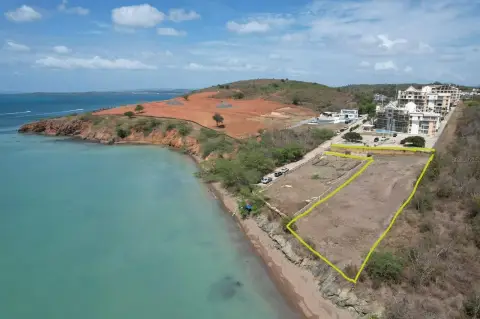
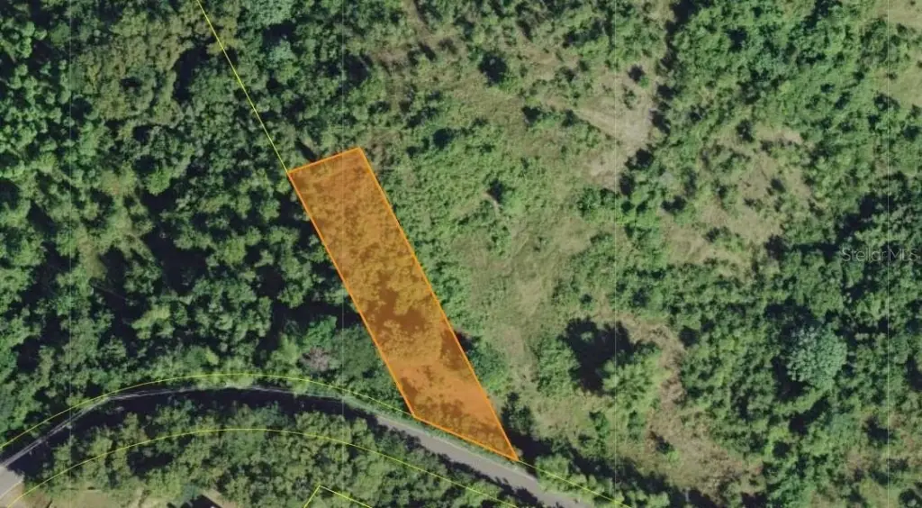
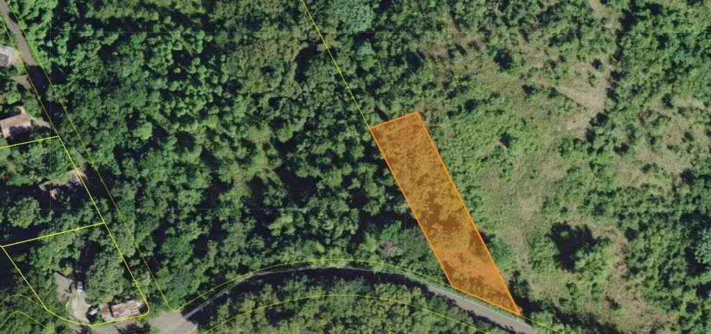
- 1.90 Acres
Building Details
- Architectural style
- Other
Listing agent Lorraine Fores Garces License #24941 (787) 455-6501
Listing office EXP PUERTO RICO INC. Calle 1 Suite 204, Luquillo (787) 455-6501
Listing date Apr 23, 2026
Copyright © 2026 Stellar MLS. All rights reserved. All information provided by the listing agent/broker is deemed reliable but is not guaranteed and should be independently verified.
HighLights
- Strategic location on PR‑100 corridor in Cabo Rojo, placing it within Puerto Rico's active tourism entry corridor.
- SRC zoning allows for diverse development options.
- Proximity to renowned beaches: Joyuda Beach, Playa Buyé, and Playa El Combate.
- Convenient access to Rafael Hernández International Airport (BQN) in Aguadilla.
- Close to premium dining options.
- Established infrastructure and easy access to daily essentials.
Overview
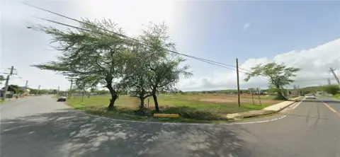
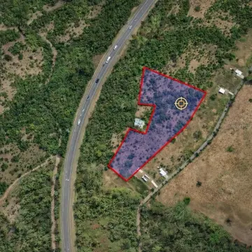
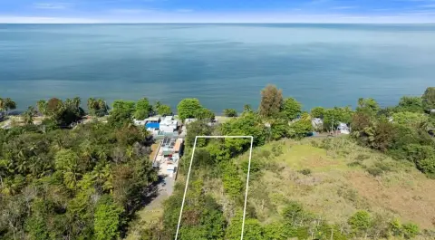
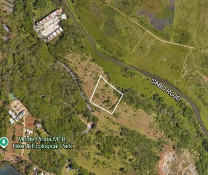
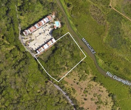
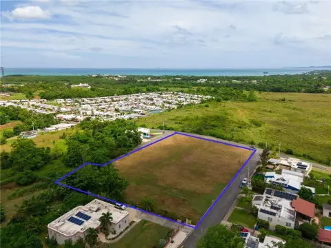
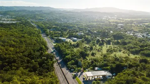
The property is positioned directly on the PR-100 corridor and is described as approximately 5 minutes from Joyuda Beach and the waterfront dining strip. That strip is referenced as being anchored by Nautica Restaurant, Varadero Seafood & Cuban, and Treasure of the Seas. Additional local amenities noted in the remarks include Econo supermarket (about 8 minutes), Walgreens (about 10), and Walmart Mayagüez (about 15). For beach options and recreation, Playa Buyé is listed as about 18 minutes away and Playa El Combate is listed as about 28 minutes south.
For mainland-connected buyers, the remarks note Aeropuerto Internacional Rafael Hernández (BQN) in Aguadilla at about 44 minutes north via PR-100, with direct flights to Florida, New York, and international destinations. Overall, the site’s frontage on PR-100 and SRC zoning configuration make it a practical fit for buyers looking for land options aligned with agricultural, agribusiness, or ecotourism development within the Cabo Rojo west-coast corridor.
Current Use by Public Records
Map
- City
- Cabo Rojo
- County
- Cidra
- State
- Longitude
- -67.15585349
- Latitude
- 18.12888687