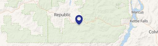
25XX HALL CREEK Rd, Inchelium, WA 99138
- Added:
- Feb 17, 2026
- Days on Market:
- 107
- Last Refresh:
- Jun 4 at 7:06 am
Property Features for 25XX HALL CREEK Rd
General Information
- Property type
- Land
- Property subtype
- Other
- Zoning
- Residential
- Standard status
- Active
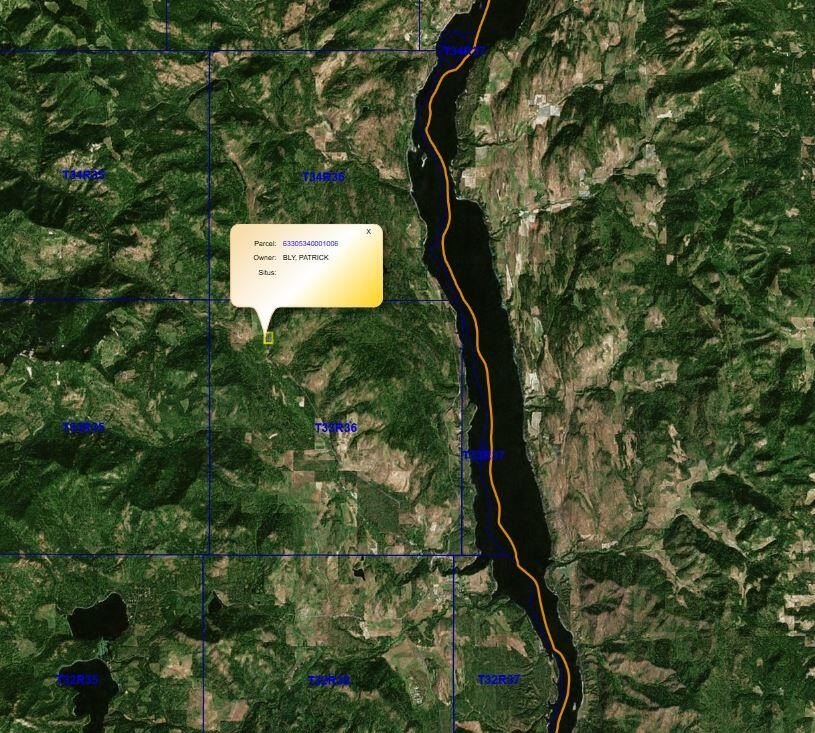
- APN
- 63305340001006
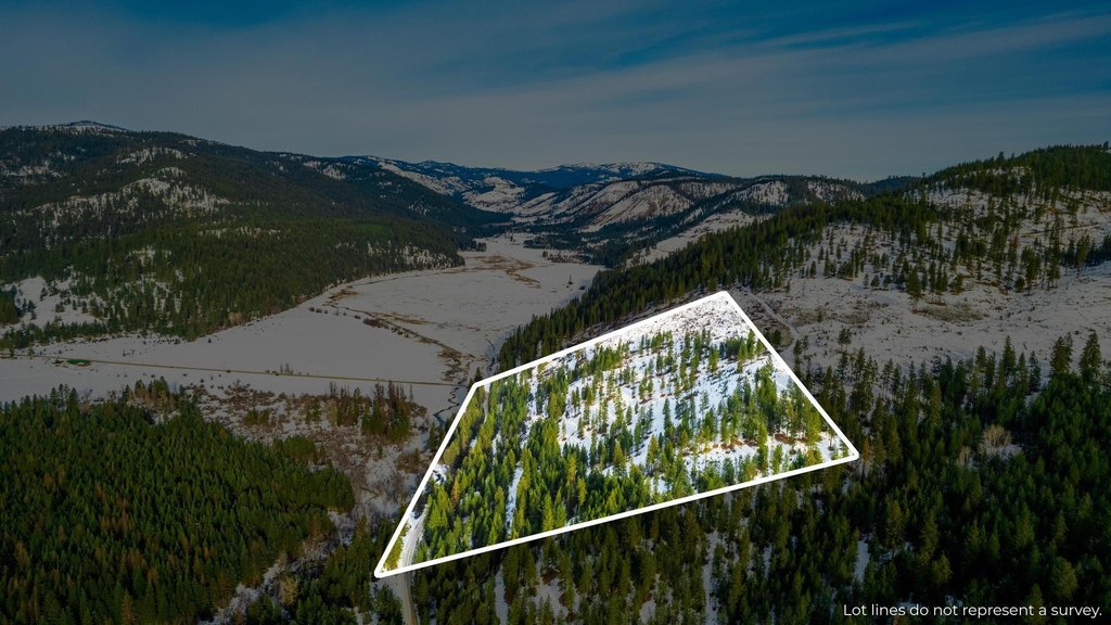
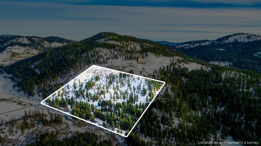
- Lot size
- 30.00 Acres
Taxes and HOA fees
- Tax Year
- 2025
- Tax Description
- E2 W2 SE4 SW4: E2 SE4 SW4
- Tax Annual Amount
- 36
Listing agent DEBBIE BAKER License #106797 (509) 993-6357
Listing office WINDERMERE KETTLE FALLS PO BOX 437 - 250 E THIRD, KETTLE FALLS, WA (509) 738-6521
Listing date Feb 17, 2026
Copyright © 2026 Northeast Washington Association of Realtor MLS. All rights reserved. All information provided by the listing agent/broker is deemed reliable but is not guaranteed and should be independently verified.
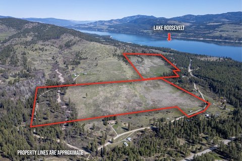
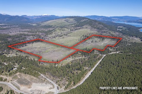
HighLights
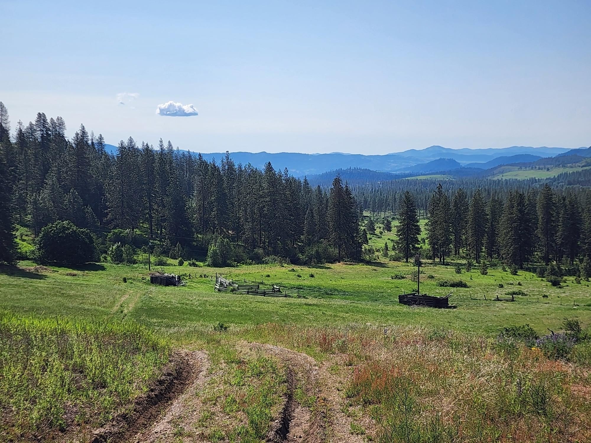
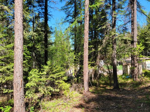
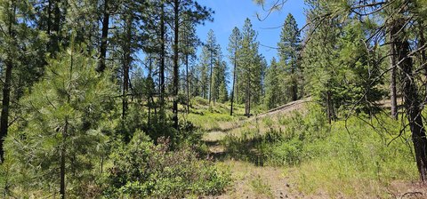
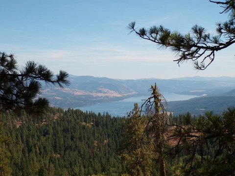
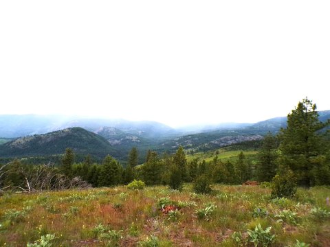
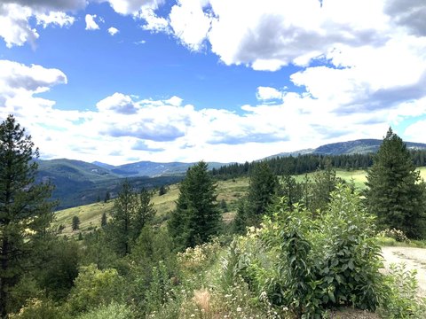
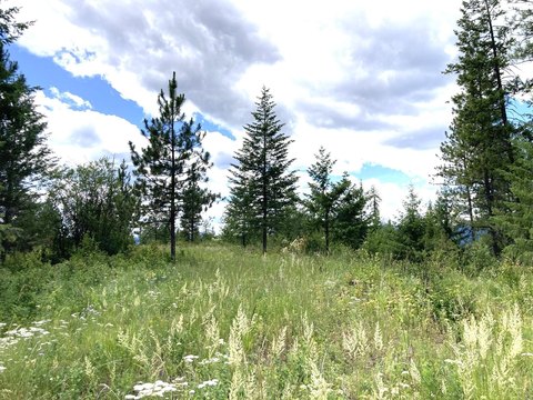
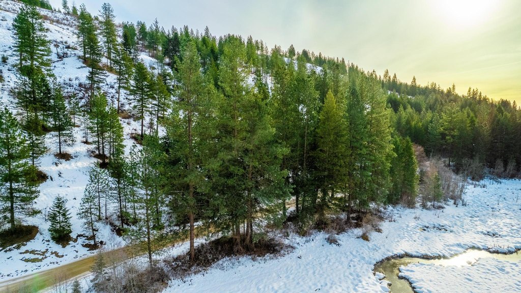
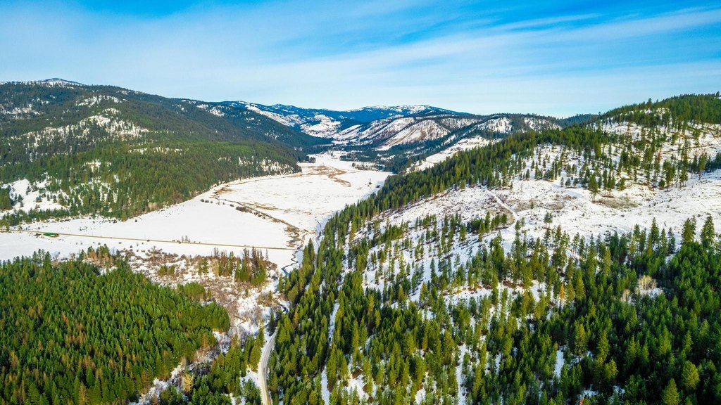
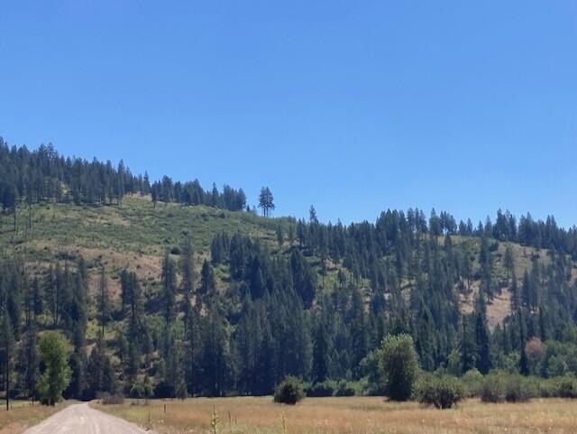
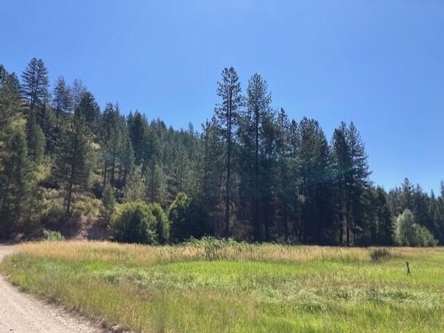
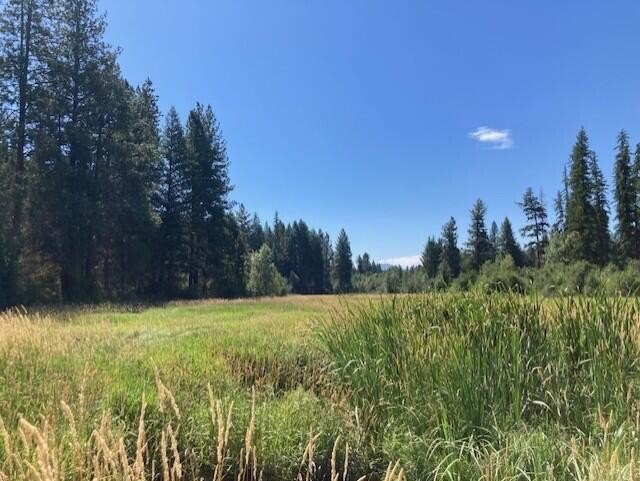
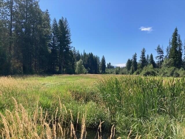
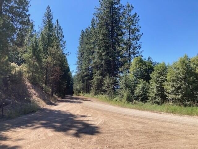
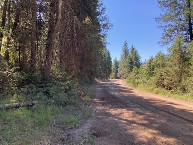
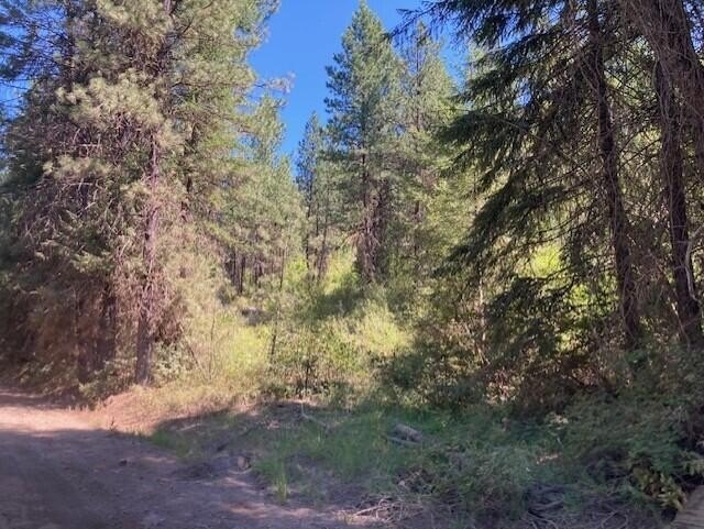
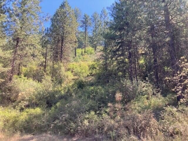
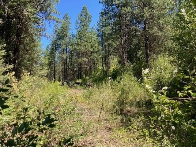
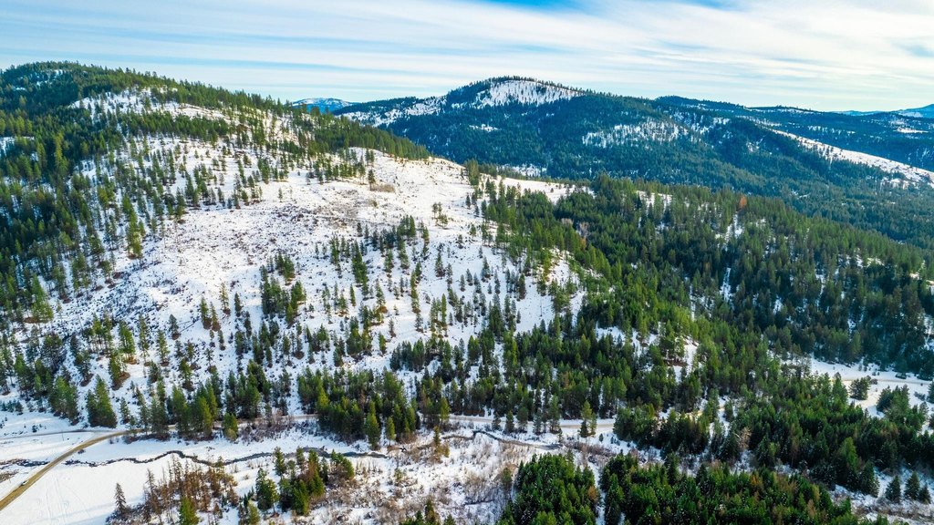
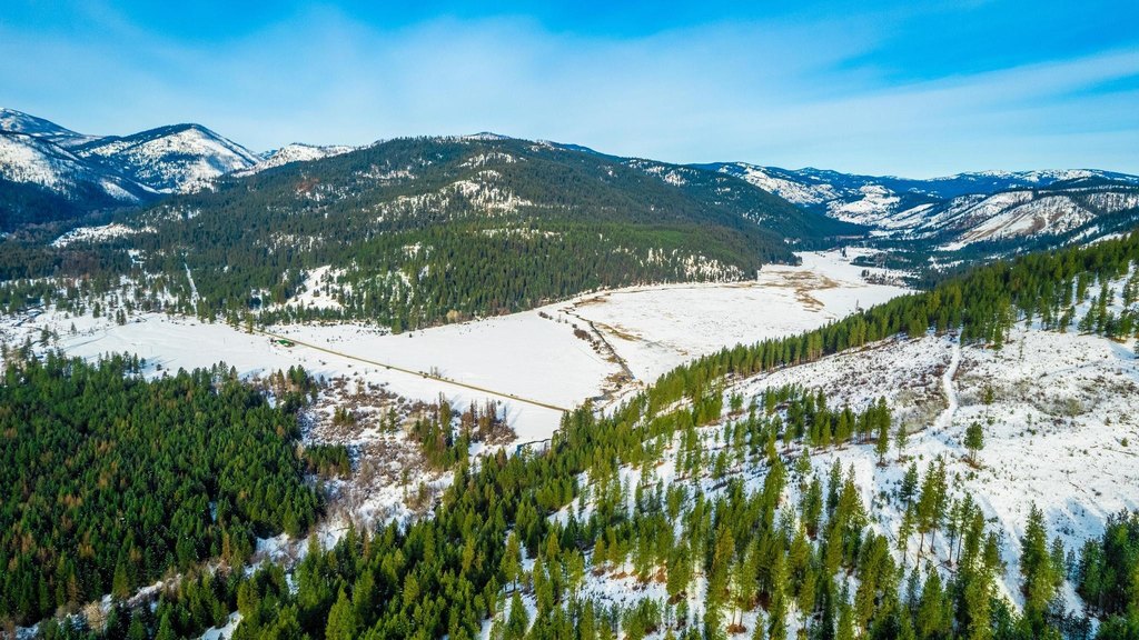
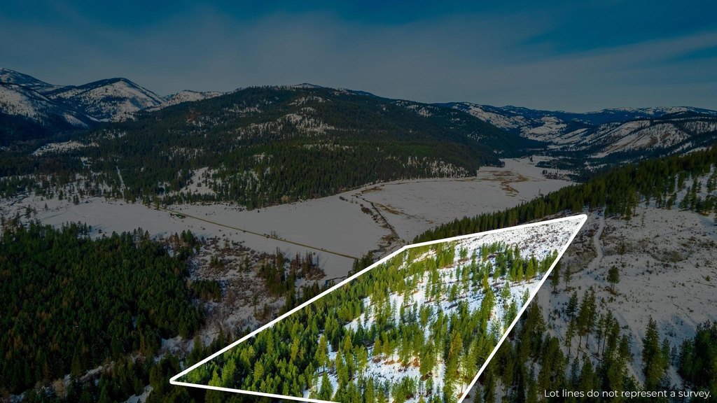
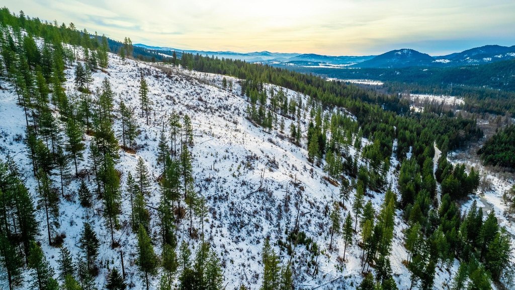
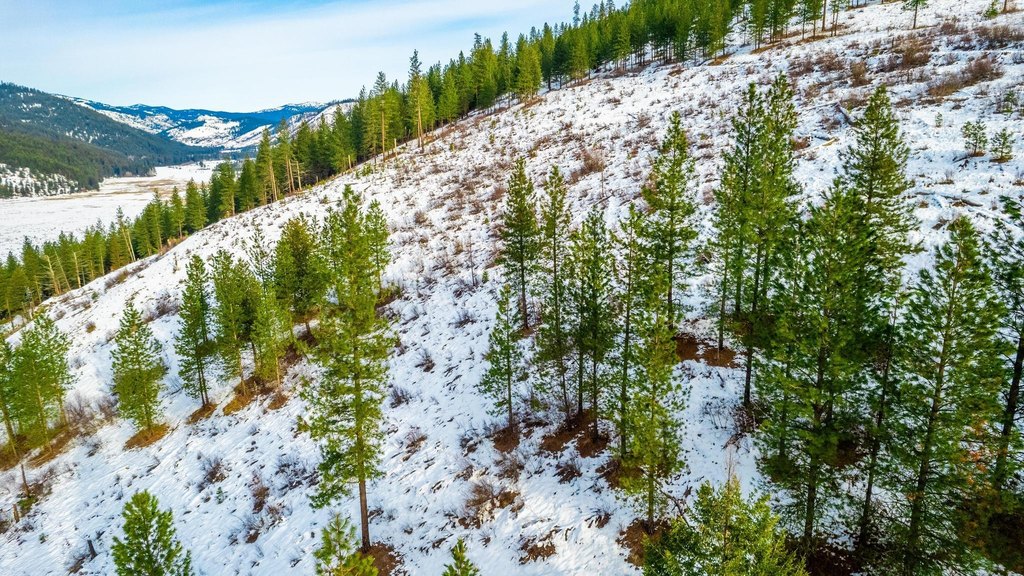
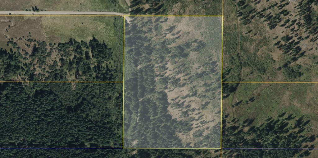
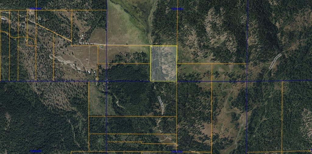
- 30 acres in Ferry County with both treed privacy and open hillsides for panoramic views
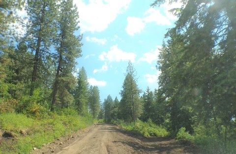
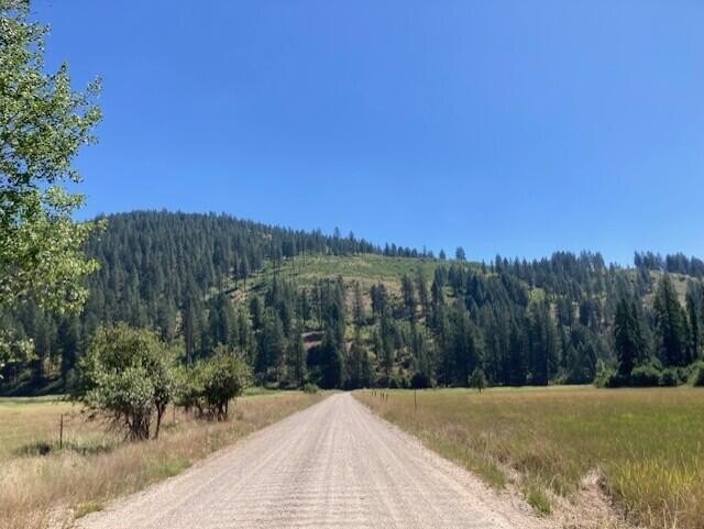
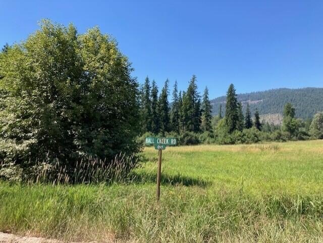
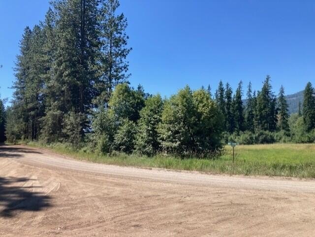
- Road‑frontage on Hall Creek Road with easy access to the property
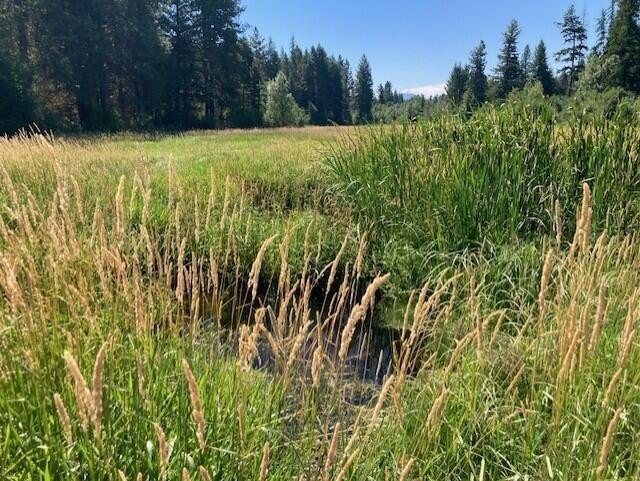
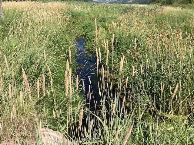
- All‑year creek runs through the SW corner, with a beaver pond
- Power poles are located on the property, making electricity easier to obtain
- Mixed timber includes alder, oak, pine, fir, and tamarack
- On the Colville Reservation and in DFL for reduced taxes; property is not surveyed
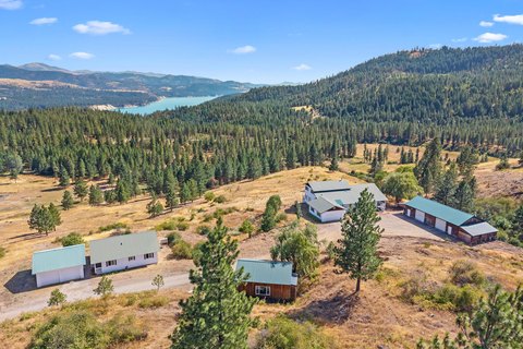
Overview
Access is described as easy, with road frontage on Hall Creek Road. The property is located near Lake Roosevelt and about 40 minutes south of Kettle Falls. The listing also indicates power poles located on or near the property, which the seller says may make electricity easier to obtain. The land is on the Colville Reservation and is described as being in DFL for reduced taxes. The property is not surveyed.
For buyers looking for a private, nature-oriented tract, this parcel fits uses such as building a new home or planning for camping and recreation. Because the property is not surveyed and the creek is specifically identified in the southwest corner, prospective buyers may want to confirm exact boundaries and site layout before finalizing development plans or permitting considerations.
Current Use by Public Records
Map
- City
- Inchelium
- County
- Ferry
- State
- Washington
- Longitude
- -118.294825
- Latitude
- 48.383418