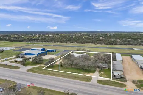
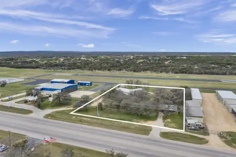
221 Yucca Dr, Burnet, TX 78611
- Added:
- Jul 6, 2026
- Days on Market:
- 2
- Last Refresh:
- Jul 7 at 10:06 am
Property Features for 221 Yucca Dr
General Information
- Property type
- Land
- Property subtype
- Other
- Standard status
- Active
- APN
- 042425
- Lot size
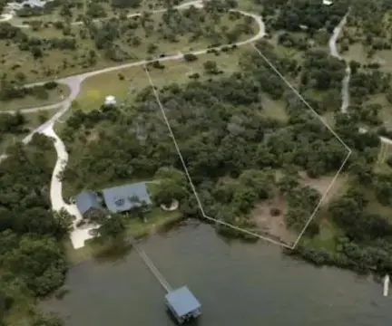
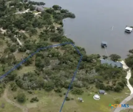
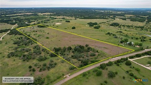
- 7.55 Acres
Taxes and HOA fees
- Tax Description
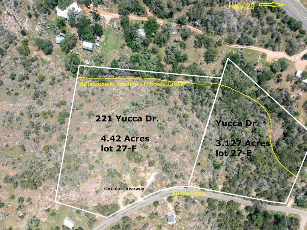
- S750 SPRING CREEK HILLS LOT 27F 4.42 & S7950 SPRING CREEK HILLS LOT 27E 3.127
Utilities
- Utilities
- Electricity Available
- Sewer type
- Septic Needed
- Water front features
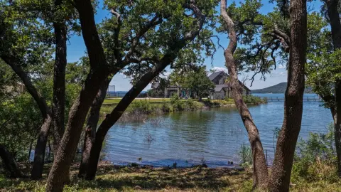
- Creek

Listing agent Alyson Bishop (512) 924-5532
Listing office Stanberry REALTORS 400 Hwy. 290 West, #101 Ste. C, Dripping Springs, TX (512) 894-3488
Listing date Jul 6, 2026
Copyright © 2026 Highland Lakes Association of Realtors MLS. All rights reserved. All information provided by the listing agent/broker is deemed reliable but is not guaranteed and should be independently verified.
HighLights
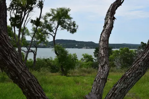
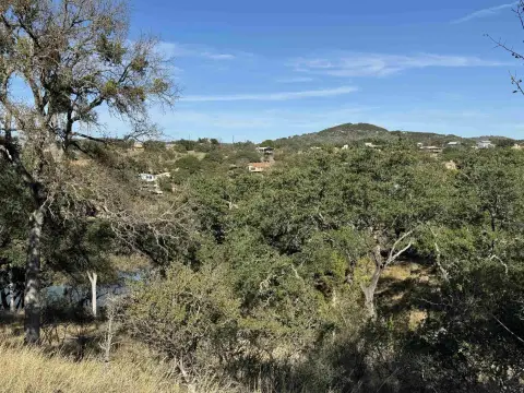
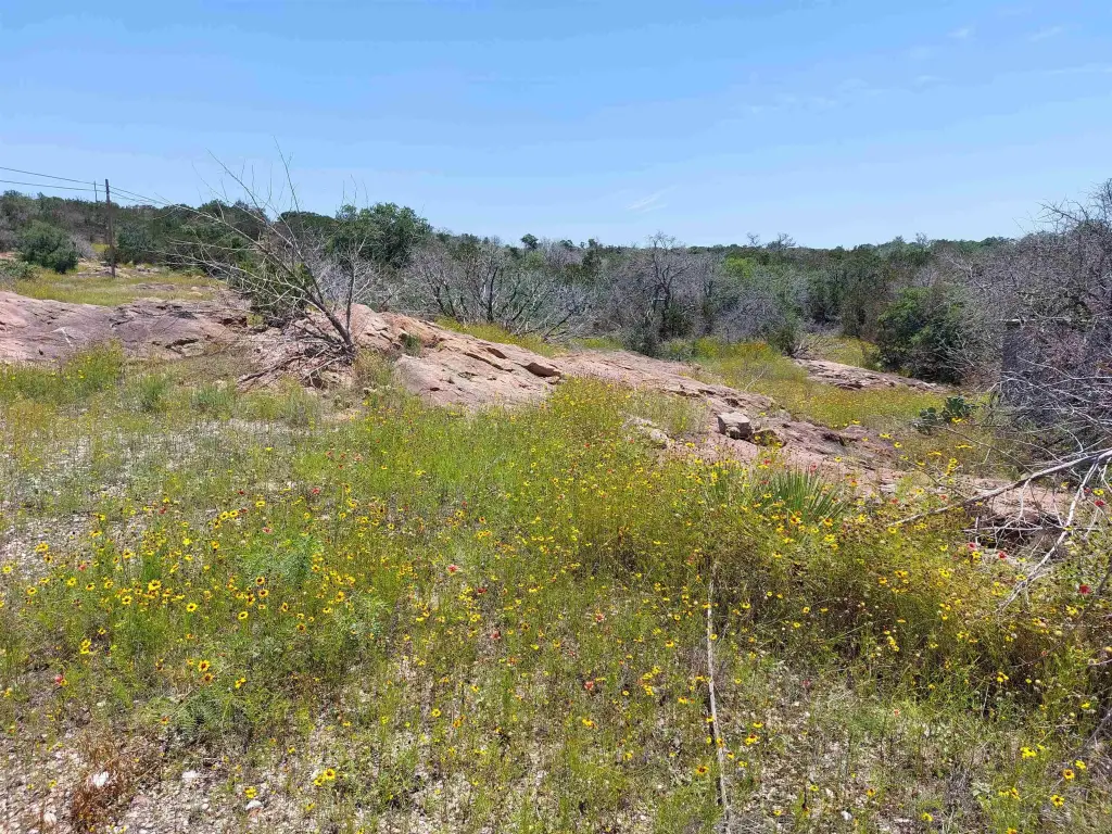
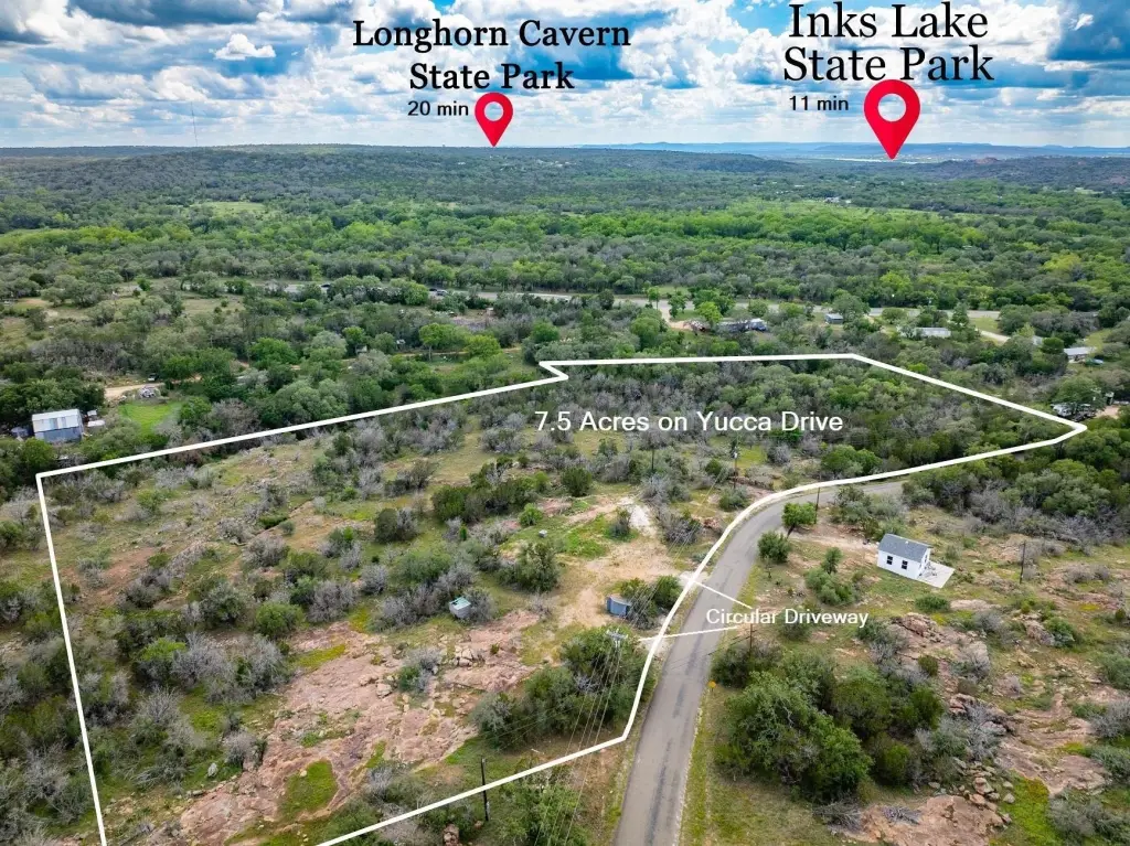
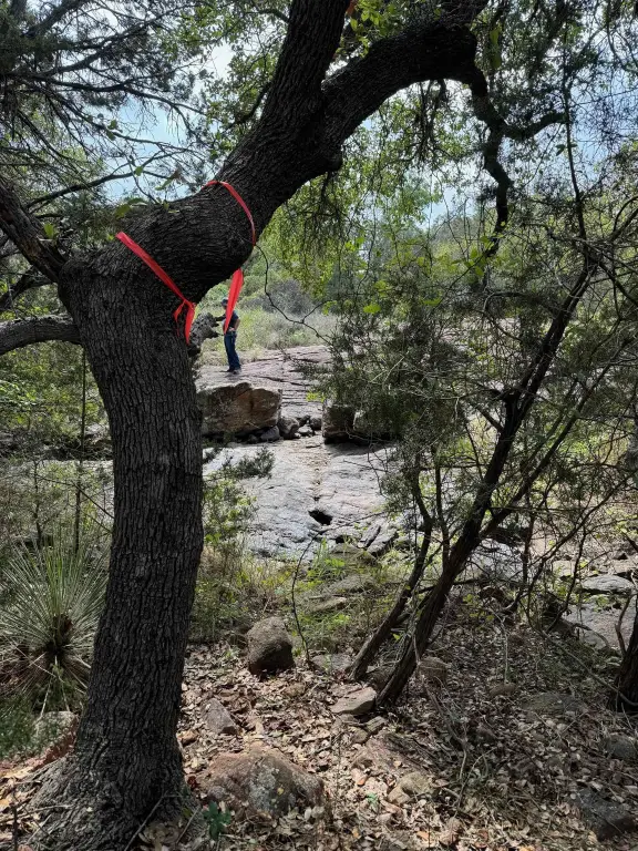
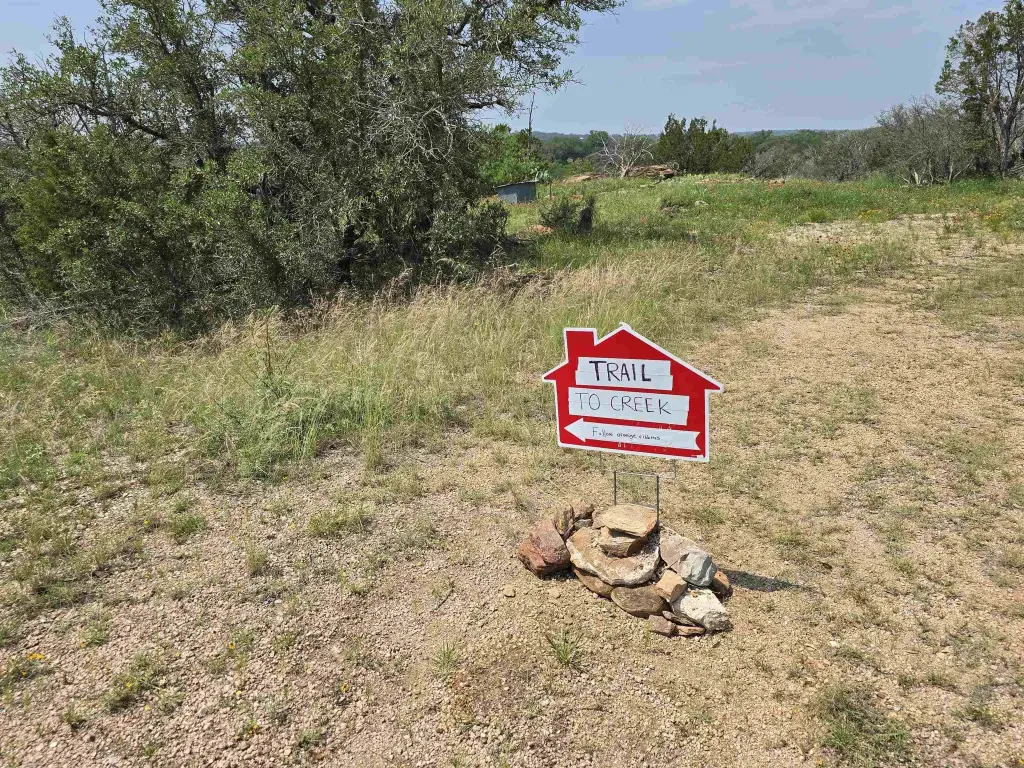
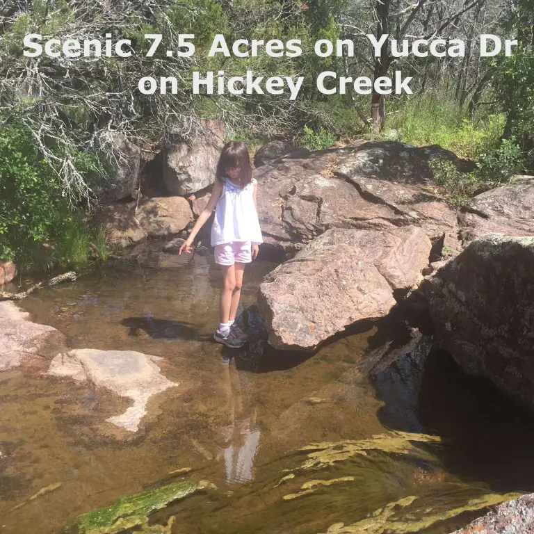
- 7.5‑acre Hill Country property with a wet weather creek
- Manufactured homes are allowed
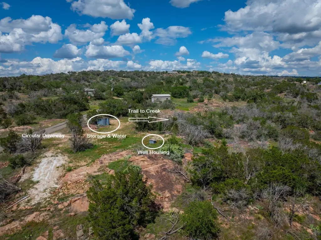
- Well and electric available; electricity available on site
- Sewer: septic needed
- Not in a flood zone; wet weather creek on the property
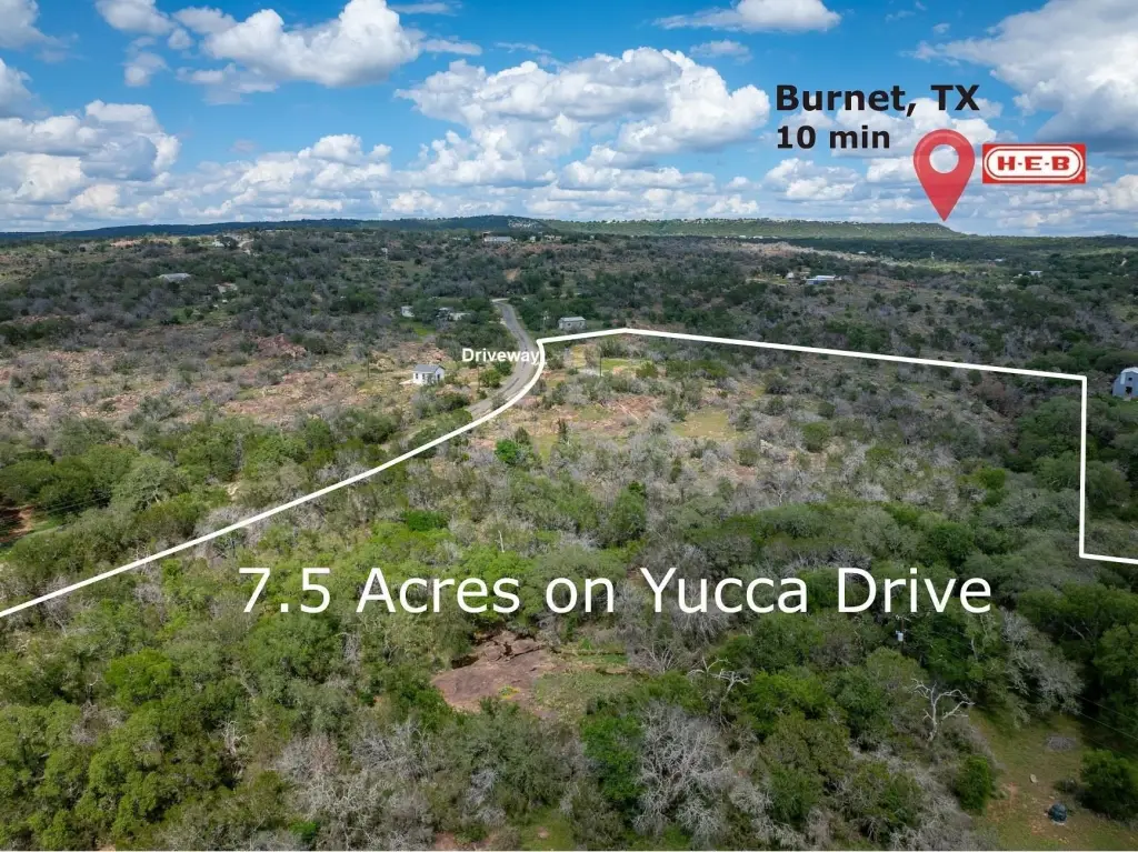
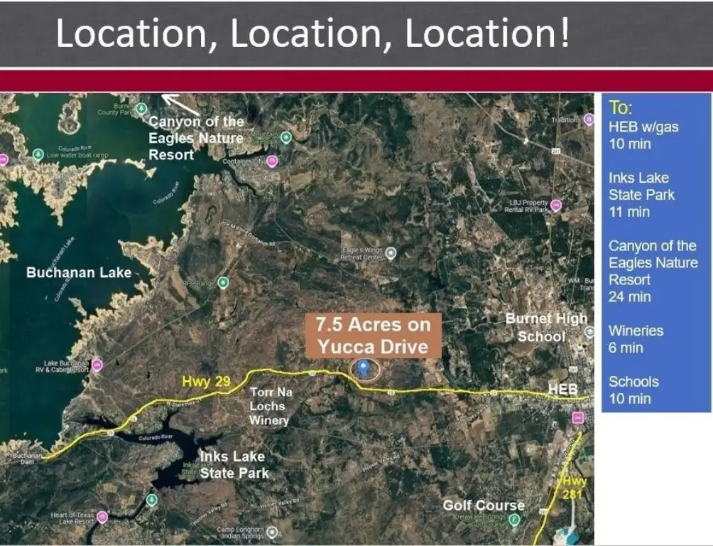
- About 10 minutes to downtown Burnet, HEB, restaurants, shopping, and schools
Overview
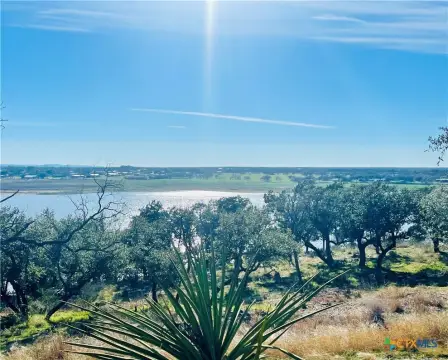
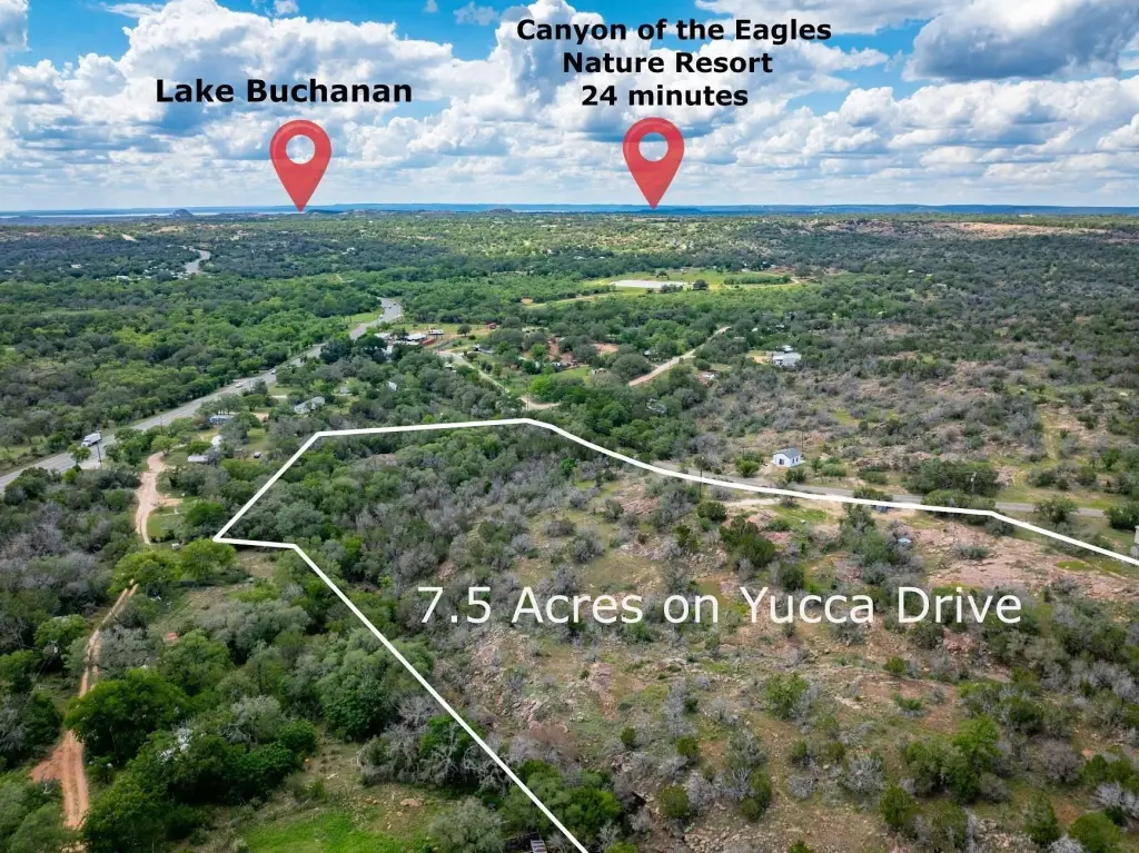
Located at 221 Yucca Dr in Burnet (78611), the property is positioned about 10 minutes from downtown Burnet, with convenient access to H-E-B, restaurants, shopping, and schools. The listing also notes proximity to Inks Lake and Lake Buchanan, along with nearby wineries and golf courses. Area recreation and attractions mentioned include Canyon of the Eagles Nature Resort and Eagle Eye Observatory, as well as local hunting clubs. Burnet airport is also listed as nearby, and the area is described as roughly an hour northwest of Austin.
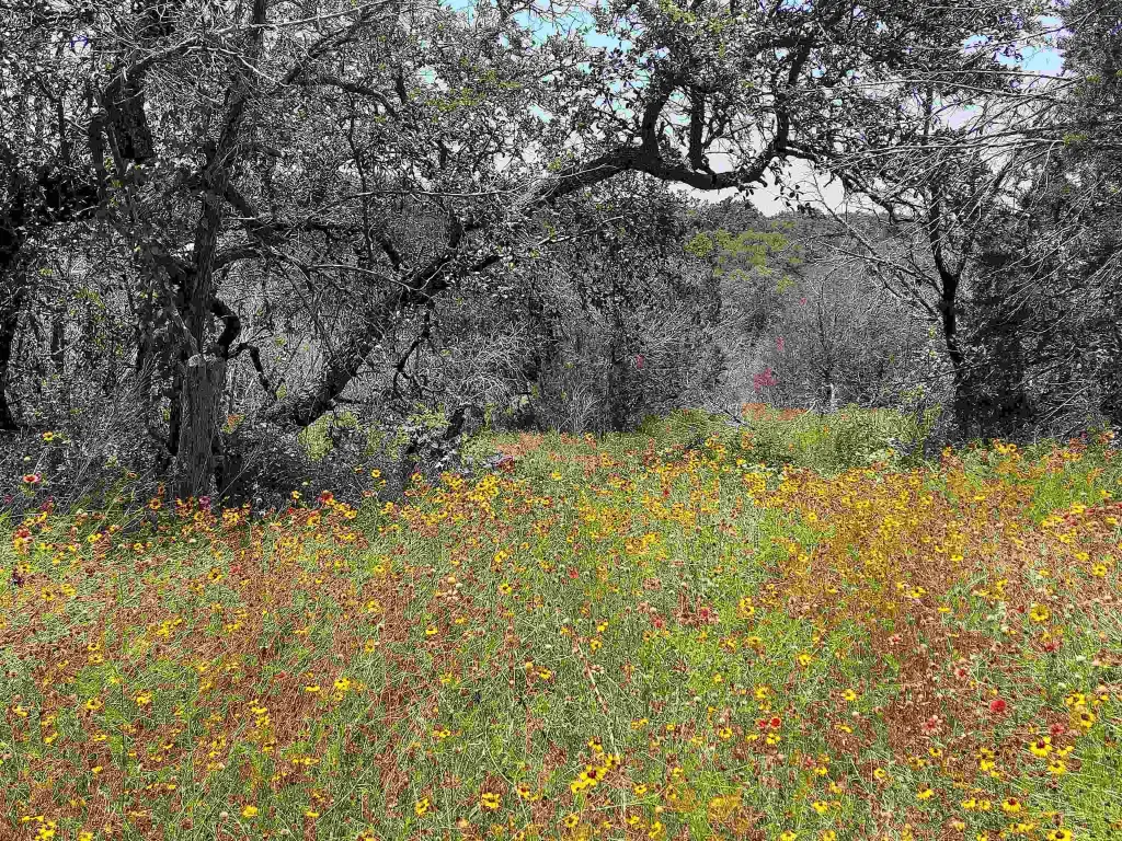
For buyers seeking space to build, this tract offers a quiet, rural setting with the ability to use manufactured housing and with well and electric already available. The presence of a wet weather creek may be an important landscape consideration for anyone planning a site layout, and the stated flood-zone status can help with early planning decisions.
Current Use by Public Records
Location Insight
- Map
- Local Demand
- City
- Burnet
- County
- Burnet
- State
- Texas
- Longitude
- -98.308048
- Latitude
- 30.764545