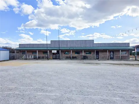
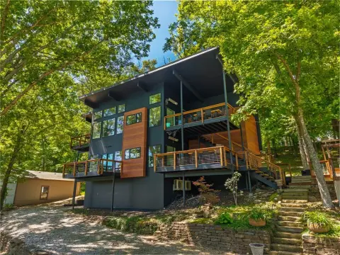
21755 Slate Gap Road, Garfield, AR 72732
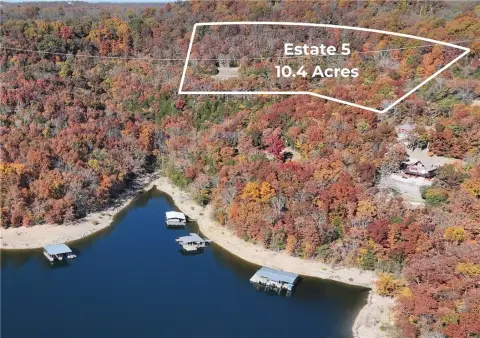
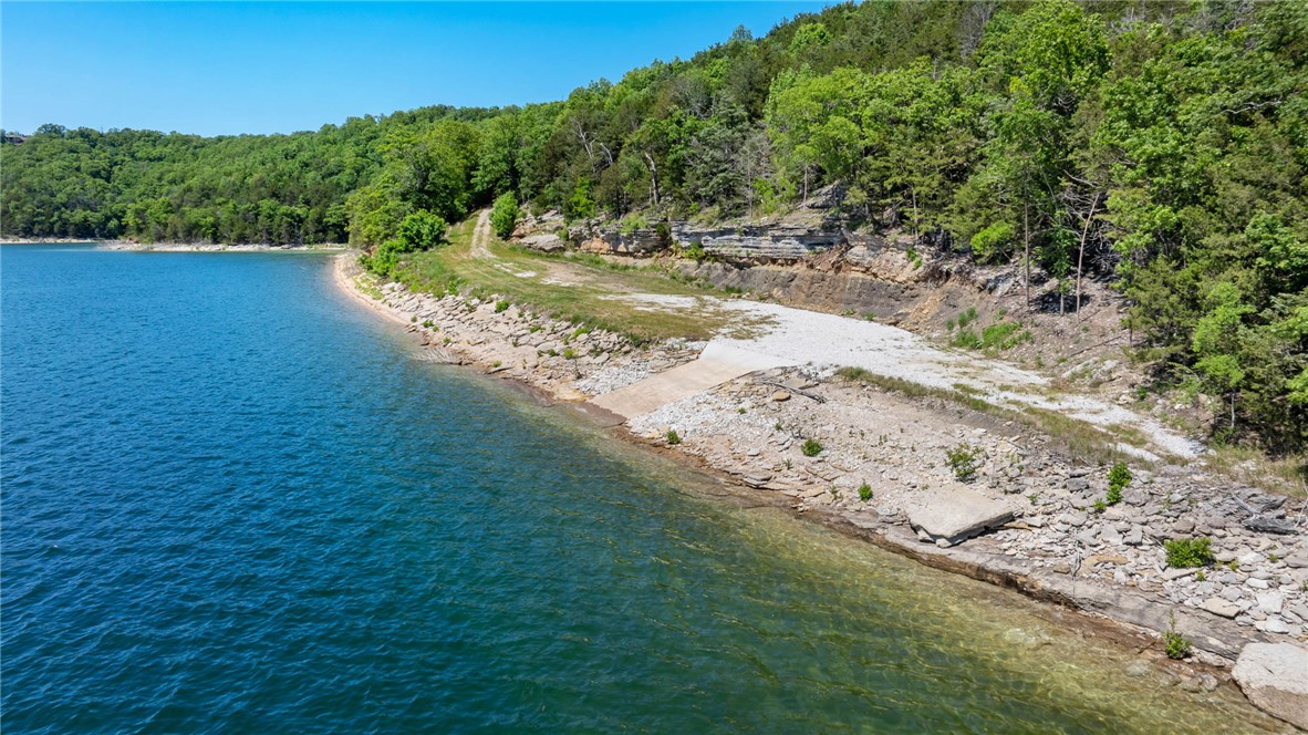
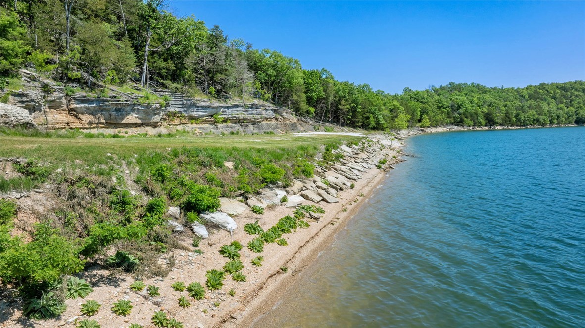
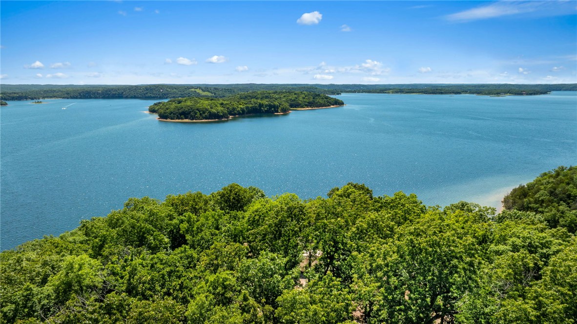
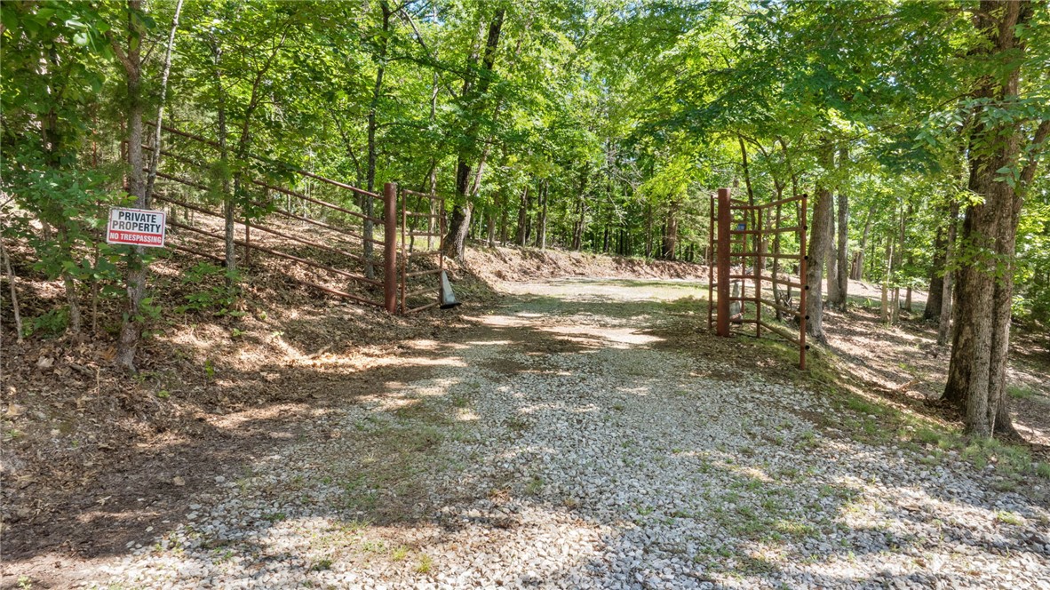
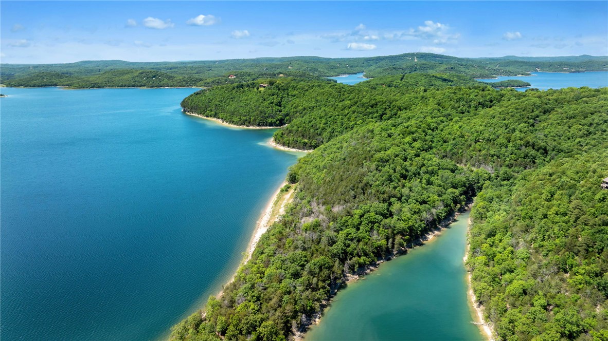
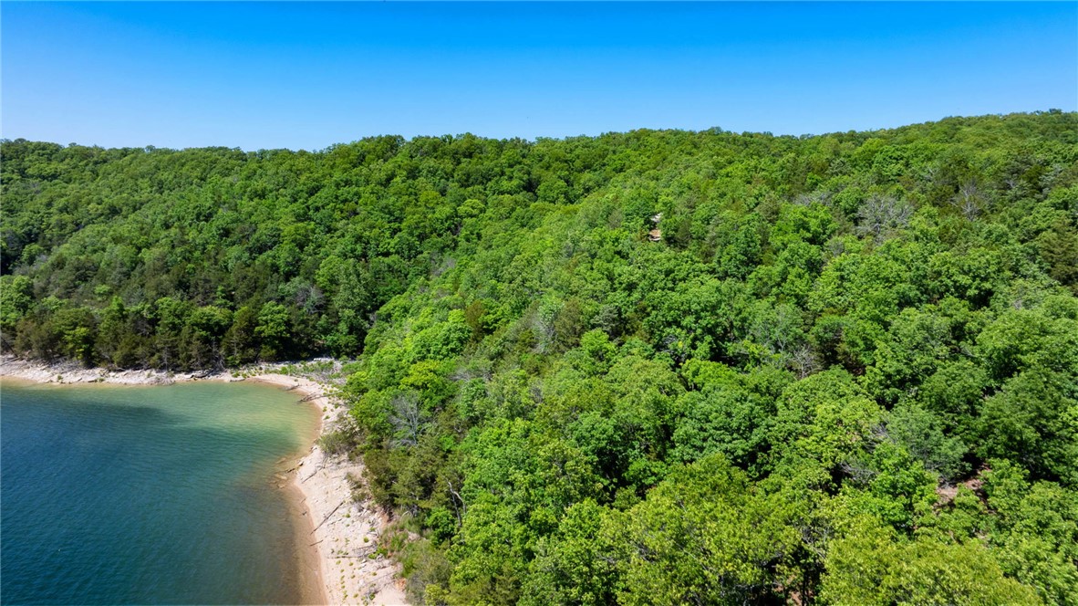
Gated waterfront acreage with extensive shoreline, direct access, and multiple building sites supported by essential utilities.
- Added:
- May 23, 2026
- Days on Market:
- 47
- Last Refresh:
- Jul 1 at 2:09 am
Property Features for 21755 Slate Gap Road
General Information
- Standard status
- Active
- Lot size
- 36.70 Acres
- Property subtype
- Lots/Land
Listing office Portfolio Sotheby's International Realty (479) 366-6800
Listing date May 23, 2026
Source Exitrealty
Displayed information is deemed reliable but is not guaranteed and should be independently verified.
All listing content including descriptions, pricing, images are the copyrighted material of Portfolio Sotheby's International Realty
HighLights
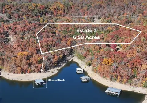
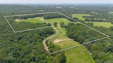
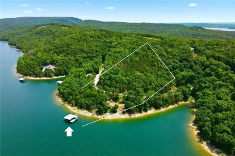
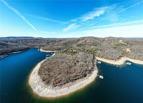
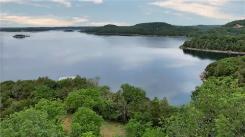
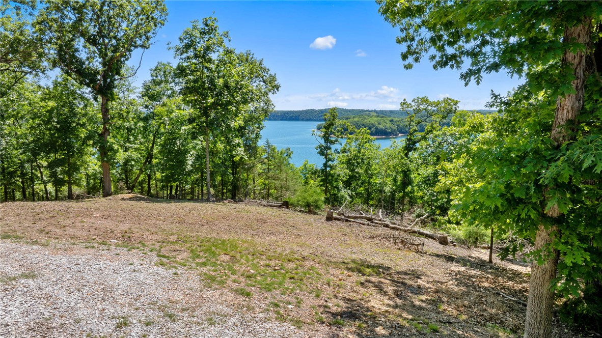
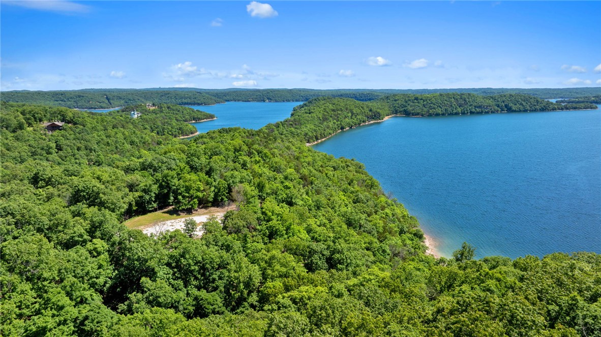
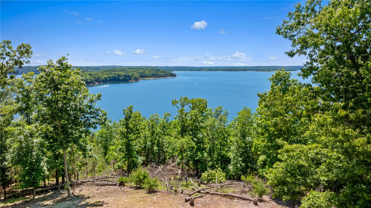
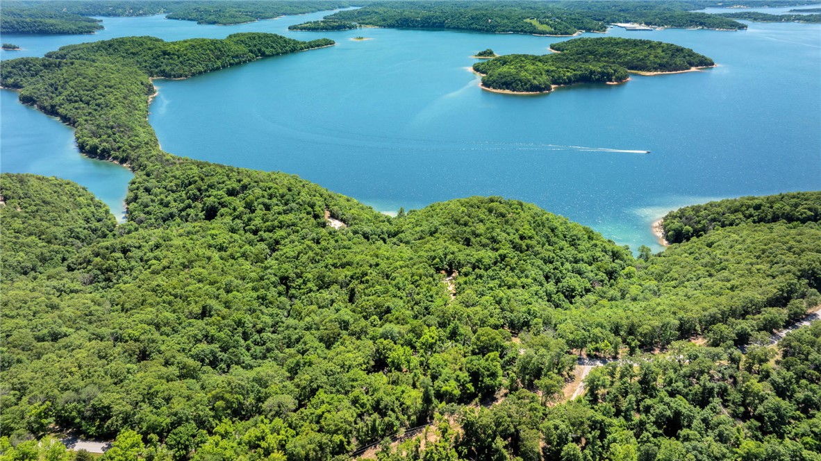
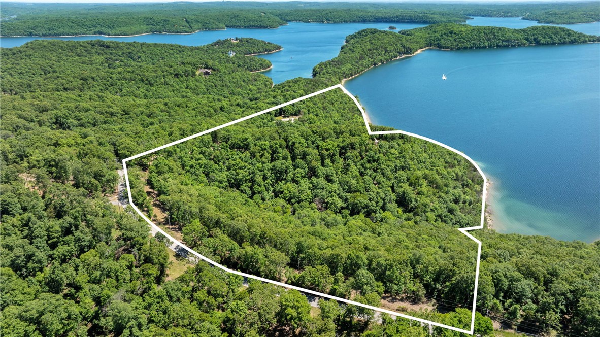
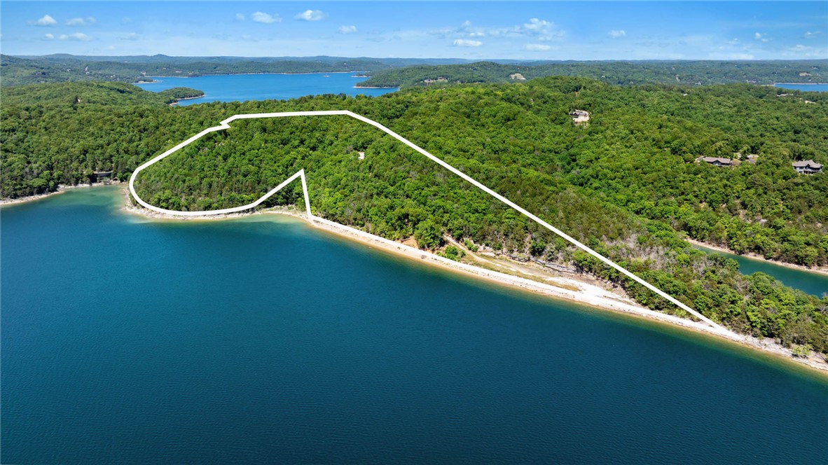
- 36.7‑acre gated waterfront tract with commanding Beaver Lake views and direct water access
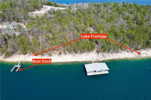
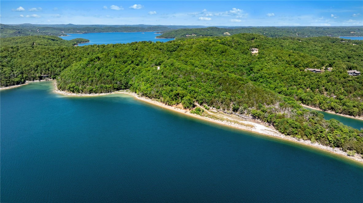
- 2,400 ft of shoreline, including 1,700 ft extending into the water at normal flood pool of 1,121 ft
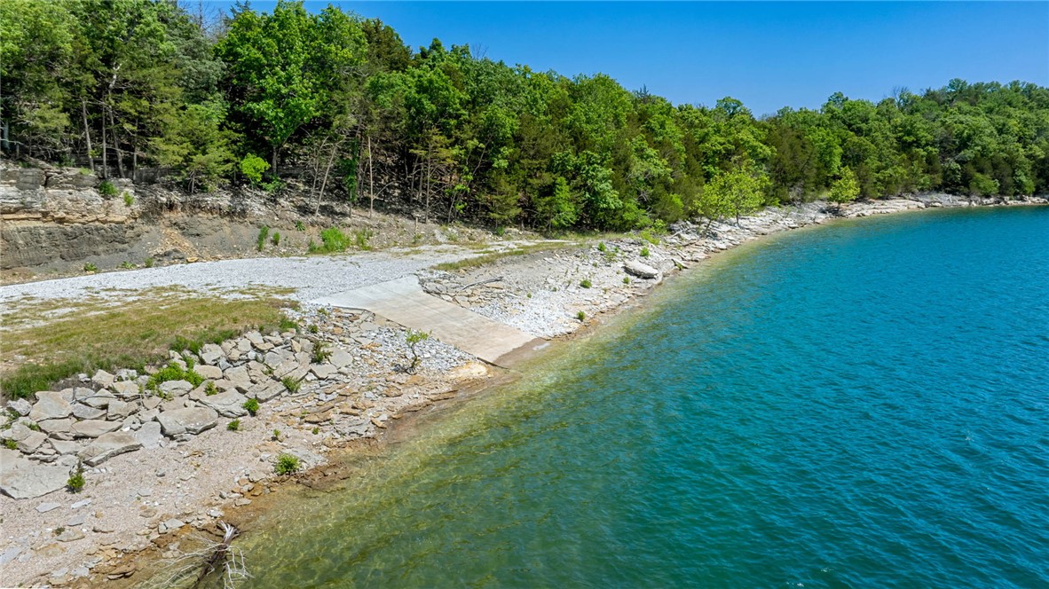
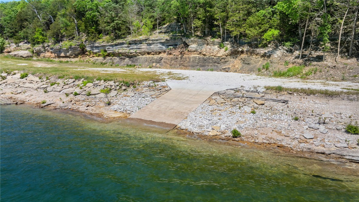
- Private boat ramp plus community boat slip
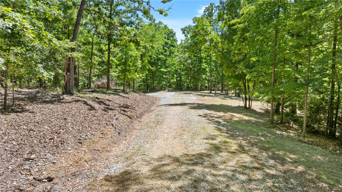
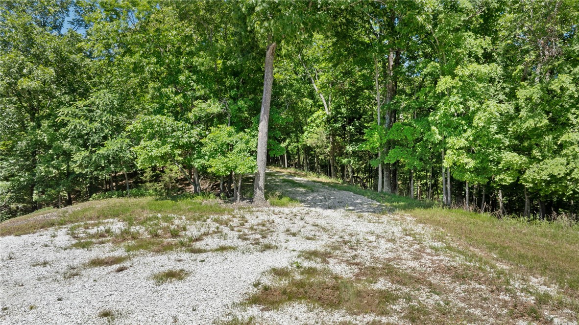
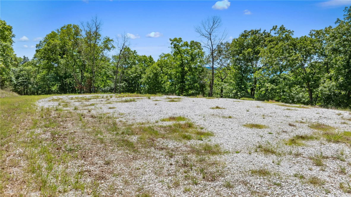
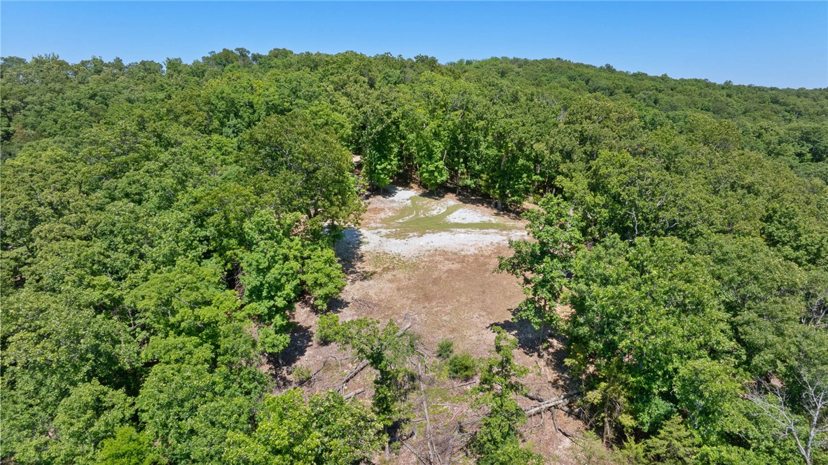
- Multiple building sites, including a primary homesite perched above the water with 180‑degree panoramic views
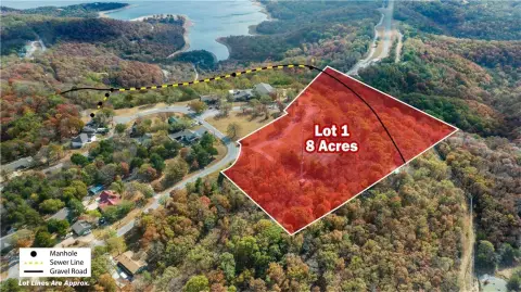
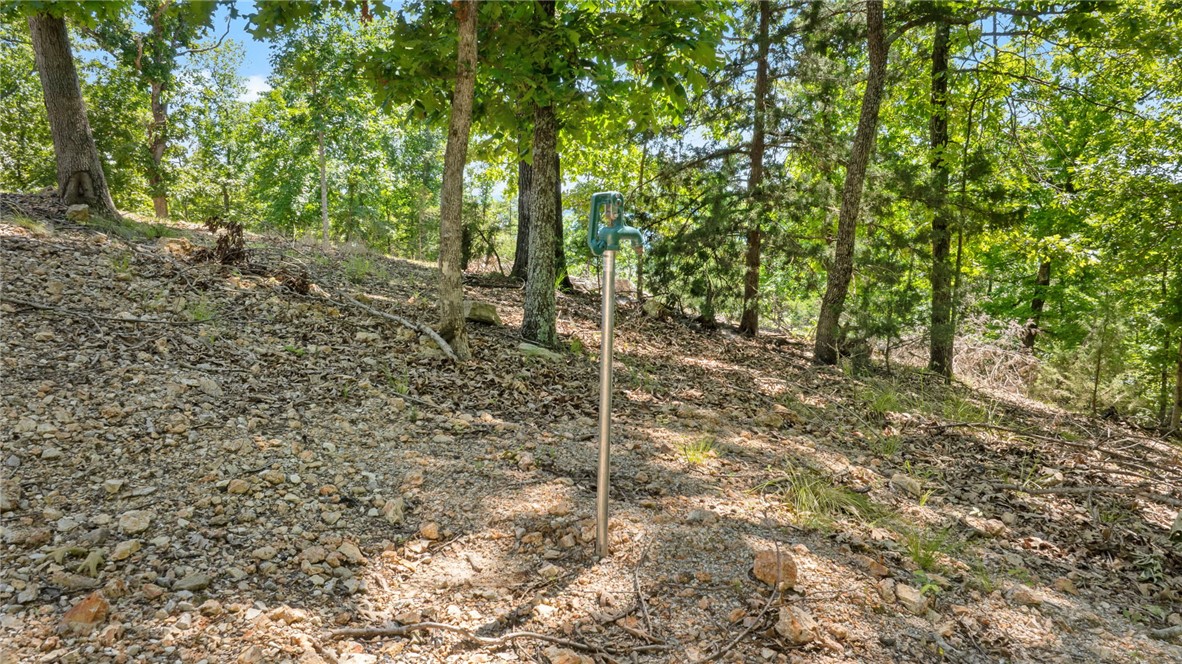
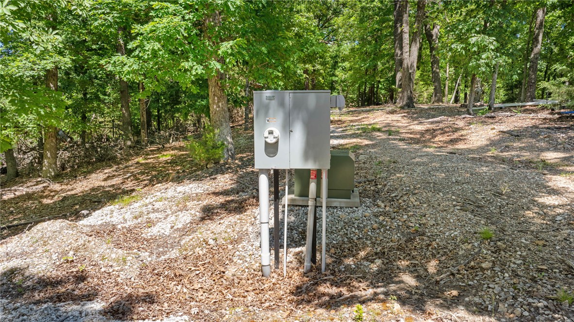
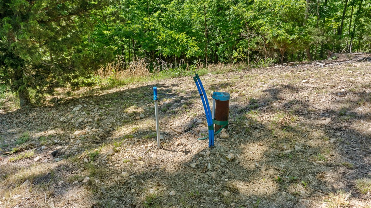
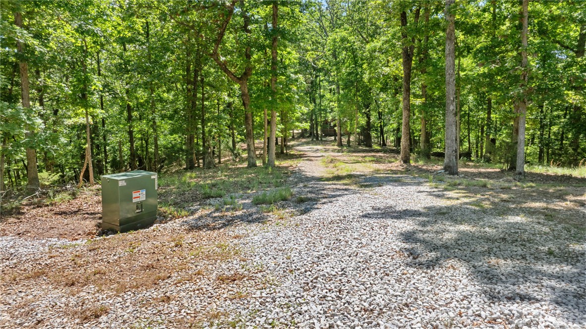
- Utilities and infrastructure in place: underground electric, septic system, and private well
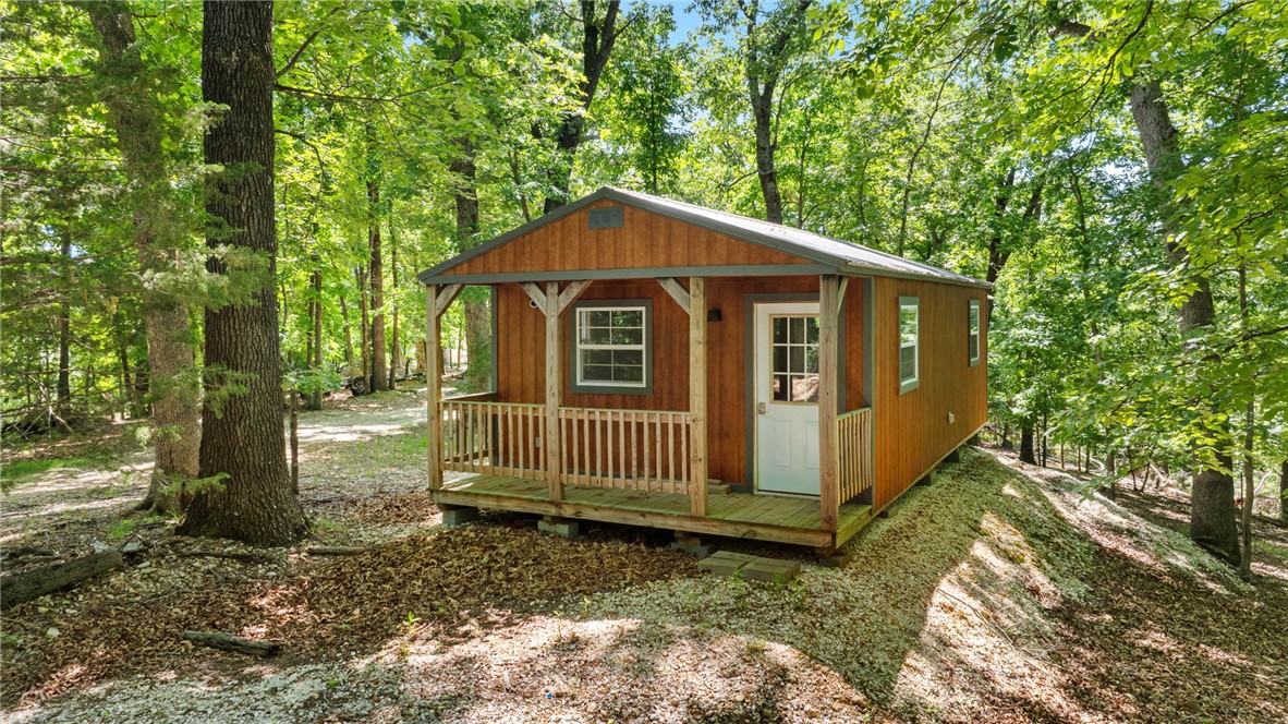
- On‑site utilities include a 1,000‑gallon in‑ground propane tank and a 16' x 32' well house with treatment system; a fifth wheel is staged on the primary homesite and fully connected
Overview
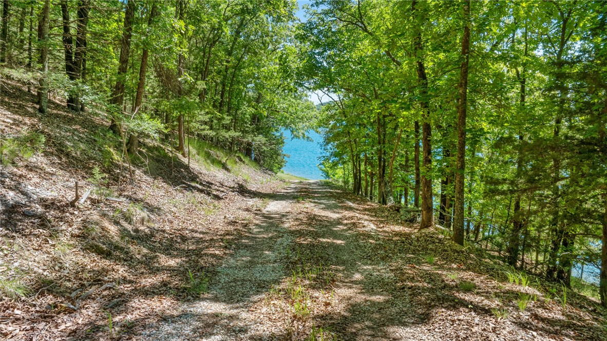
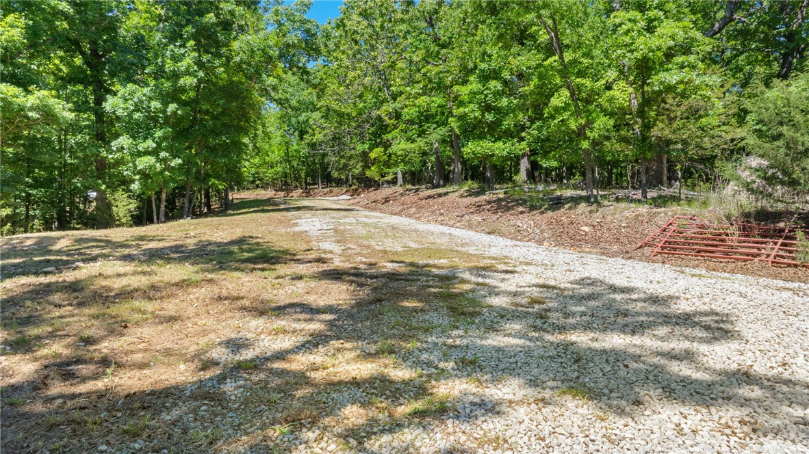
A gentle private drive leads to the water’s edge at a pristine shoreline setting. Community boat slip and essential on-site infrastructure are already in place. Utilities and services include a 1,000-gallon in-ground propane tank, underground electric, septic system, and a private well. There is also a 16’ x 32’ well house with a treatment system, and a fifth wheel currently staged on the primary homesite with utilities connected.
For buyers seeking a private, recreation-focused lake property with flexibility for one or more residences, this parcel offers a developed waterfront configuration, multiple potential building pads, and ready-to-use utility infrastructure. The direct shoreline access and boat ramp support immediate on-water use while preserving options for long-term development planning in Garfield, Arkansas.
Current Use by Public Records
Map
- City
- Garfield
- County
- Benton
- State
- Arkansas
- Longitude
- -93.897606
- Latitude
- 36.36295