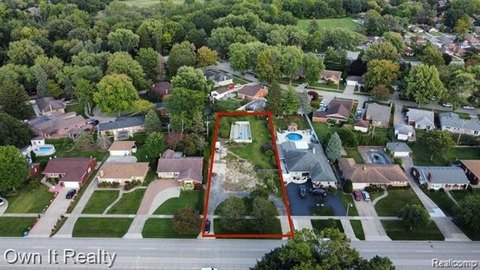
2051 Kinmore Street Dearborn Heights, MI 48127
LAND - Dearborn Heights, MI
- Added:
- Apr 15, 2026
- Days on Market:
- 22
- Last Refresh:
- May 6 at 6:06 am
Property Features for 2051 Kinmore Street
General Information
- Property type
- Land
- Property subtype
- Other
- Zoning
- Residential
- Standard status
- Active
- APN
- 33029010533301
Taxes and HOA fees
- Tax Description
- LOT 534 INCLUSIVE, AND THE NORTH 15.82 FT. OF LOT 533, AND THE SOUTH 18.34 FT. OF LOT 535 "CONLEY'S FORD-GULLEY SUBDIVISION" OF THE W. 1/2 OF THE N.W. 1/4 OF SECTION 17, T,2S., R.I0E., DEARBORN TOWNSHIP (NOW CITY OF DEARBORN HEIGHTS), WAYNE COUNTY, M ICHIGAN, AS RECORDED IN LIBER 55 OF PLATS, PAGE 50, WAYNE COUNTY RECORDS. PARCEL IS MORE PARTICULARLY DESCRIBED AS: COMMENCING AT THE NORTHEAST CORNER OF LOT 172 OF SAID SUBDIVISION; THENCE DUE SOUTH ALONG THE WEST R.O.W. LINE OF KINMORE AVE. (60 FT . WIDE), 297.50 FT. TO THE POINT OF BEGINNING; THENCE CONTINUING DUE SOUTH ALONG SAID WEST R.O.W. LINE OF KINMORE AVE.(60 FT. WIDE), 70.00 FT.; THENCE N89(DEGREES)40'00"W, 135.00 FT.; THENCE DUE NORTH ALONG THE WEST LINE OF SAID LOTS 533 THRU 535,
- Tax Annual Amount
- 3188
Listing agent Batoul Abdallah (313) 277-7777
Listing office RE/MAX Leading Edge 7500 N Canton Center, Dearborn Heights, MI (734) 404-8800
Listing date Apr 15, 2026
MLS# 20261025397
Listing URL
Copyright © 2026 Realcomp Limited II. All rights reserved. All information provided by the listing agent/broker is deemed reliable but is not guaranteed and should be independently verified.
Overview
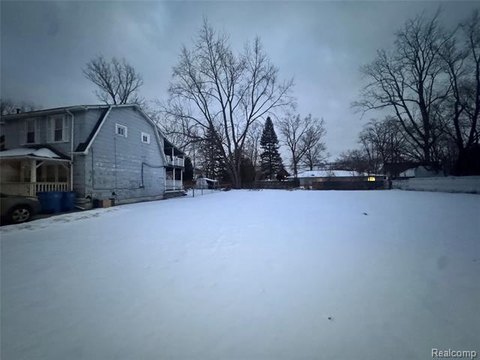
Residential Land in Dearborn Heights
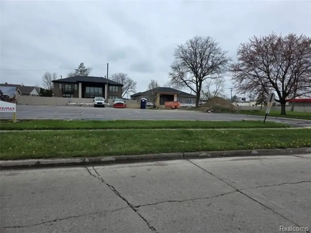
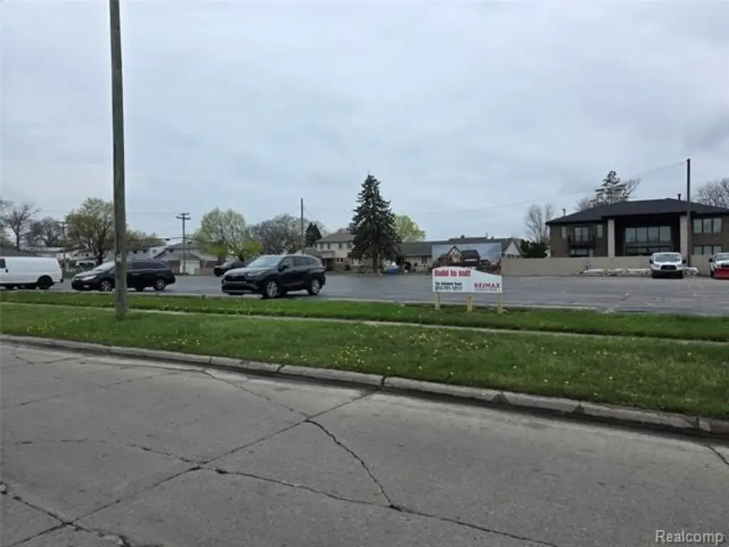
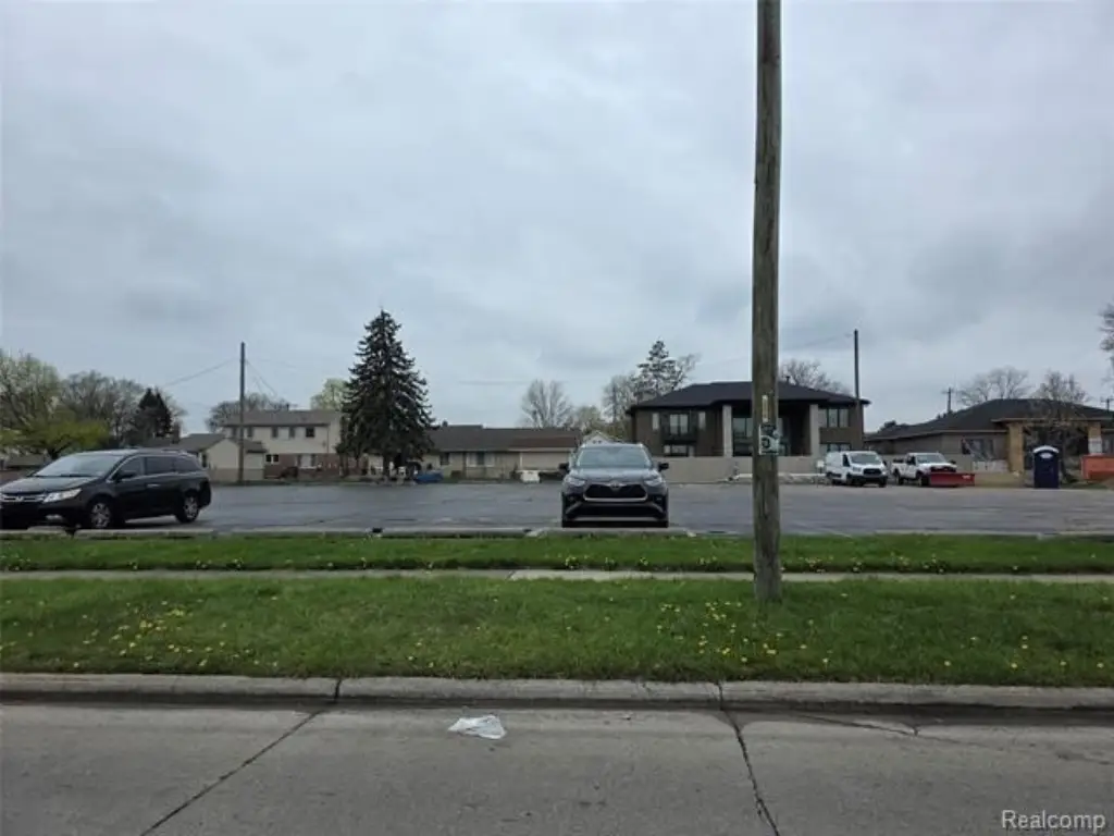
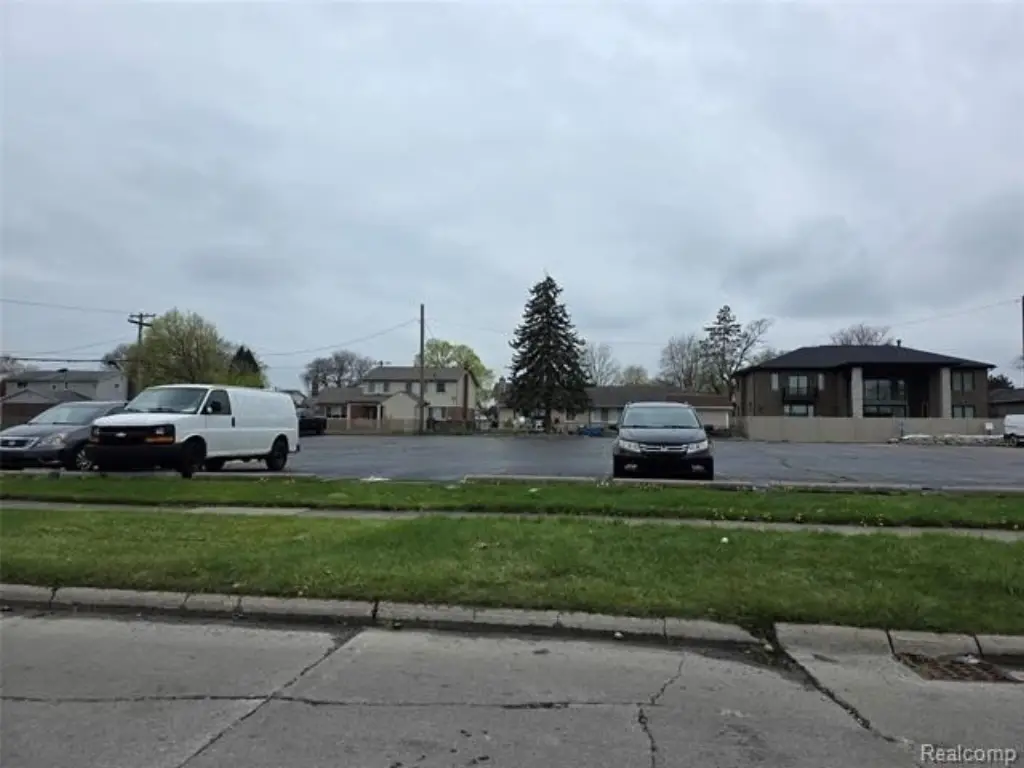
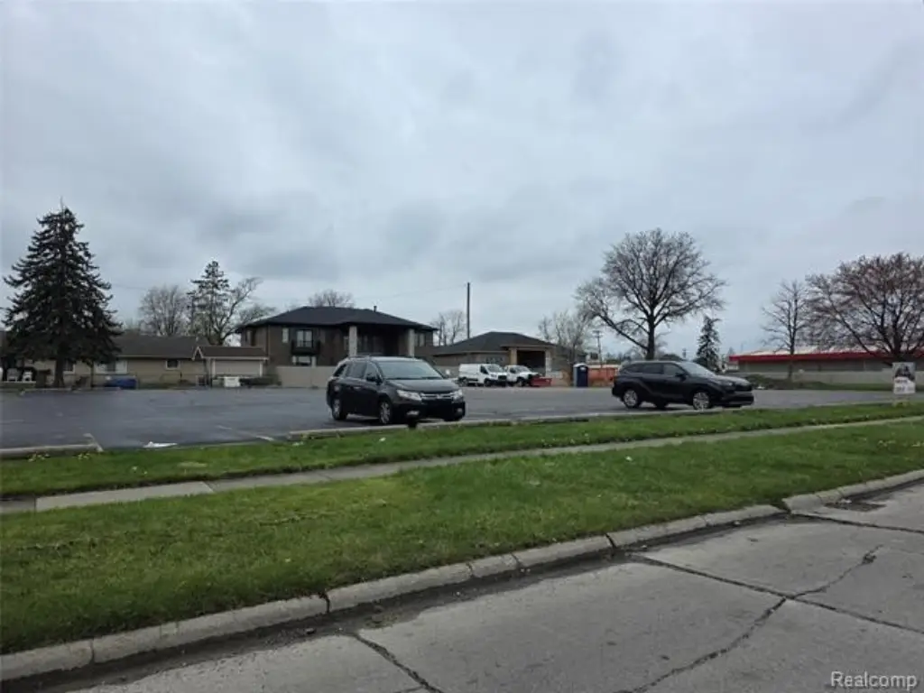
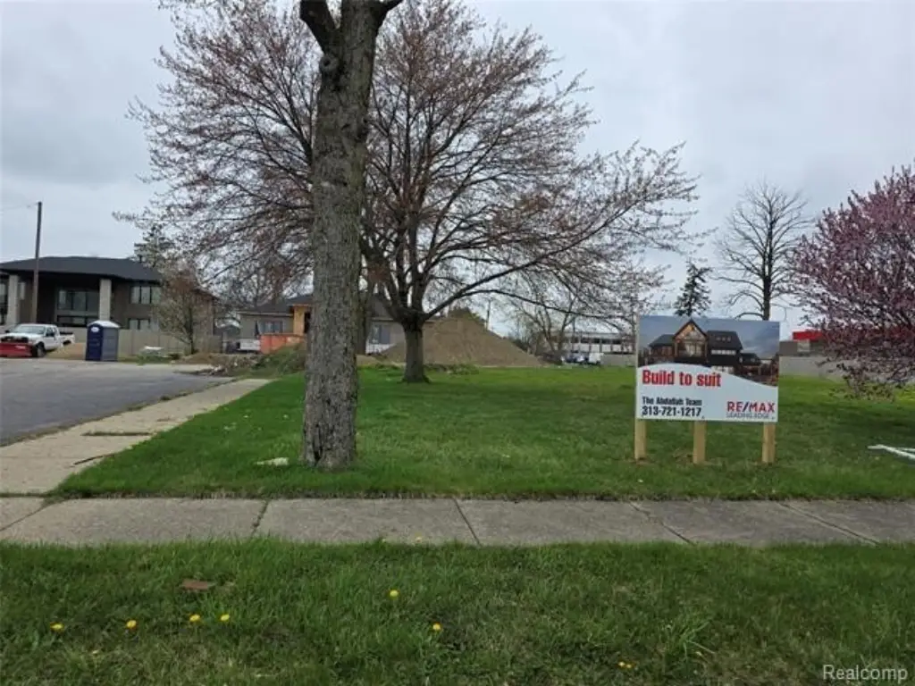
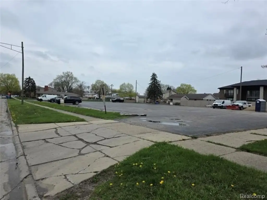
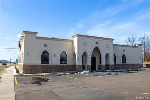
This vacant land in Dearborn Heights, Michigan, presents an opportunity to build a custom home. The property is generously sized to accommodate various home designs and outdoor amenities. Essential utilities, including water, electricity, and gas, are readily accessible, which simplifies the building process. The location provides convenient access to local amenities, schools, and transportation, offering a balance of convenience and tranquility. This residential land provides a foundation for creating a residence tailored to individual lifestyles and preferences.
Property Profile
Insight Report
Location Intelligence
Current Use by Public Records
Residential land & home ...
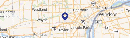
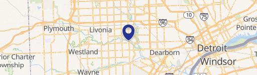
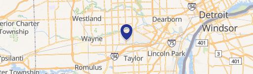
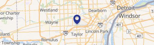
Location Insight
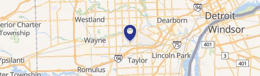
- Map
- Local Demand
- City
- Dearborn Heights
- County
- Wayne
- State
- Michigan
- Longitude
- -83.288434
- Latitude
- 42.325311
Nearby Similar for Sale

FAQs
What type of property is this?
Residential land & home lot - Vacant land ready for your dream home in Dearborn Heights.
Where is this residential land & home lot located?
The property is located at 2051 Kinmore Street Dearborn Heights, MI.
What is the asking price?
The asking price for this property is $285,000.
What are key features of this property?
This property features: Vacant land ready for custom home construction.; Convenient access to water, electricity, and gas utilities.; Generously sized lot suitable for various home designs and outdoor amenities.


