W 20 Route East, Dubuque, IA 61025
- Added:
- Jun 22, 2026
- Days on Market:
- 4
- Last Refresh:
- Jun 25 at 2:06 pm
Property Features for W 20 Route East
General Information
- Property type
- Commercial Sale
- Property subtype
- Other
- Zoning
- Farmland
- Standard status
- Active
- APN
- 05-001-830-27 +1
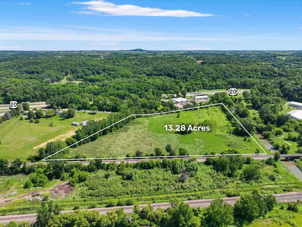
- Lot size
- 13.36 Acres
Utilities
- Utilities
- Water Available

Listing agent Megan Burgmeier Pierce License #B6375600 / 475183318 (563) 542-9722
Listing office Red Tree Realty/REAL Broker, LLC 2644 Pennsylvania Avenue, Dubuque, IA (563) 279-2944
Listing date Jun 22, 2026
Copyright © 2026 East Central Iowa Association of Realtors. All rights reserved. All information provided by the listing agent/broker is deemed reliable but is not guaranteed and should be independently verified.
HighLights
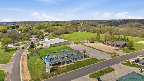
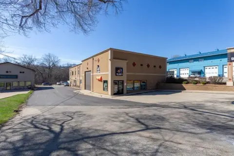
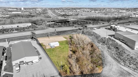
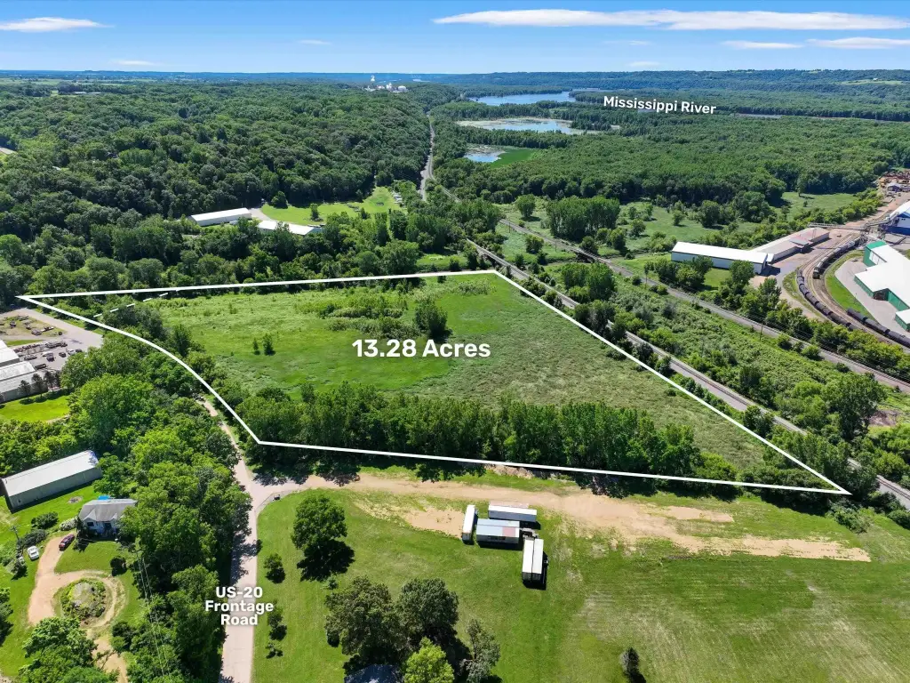
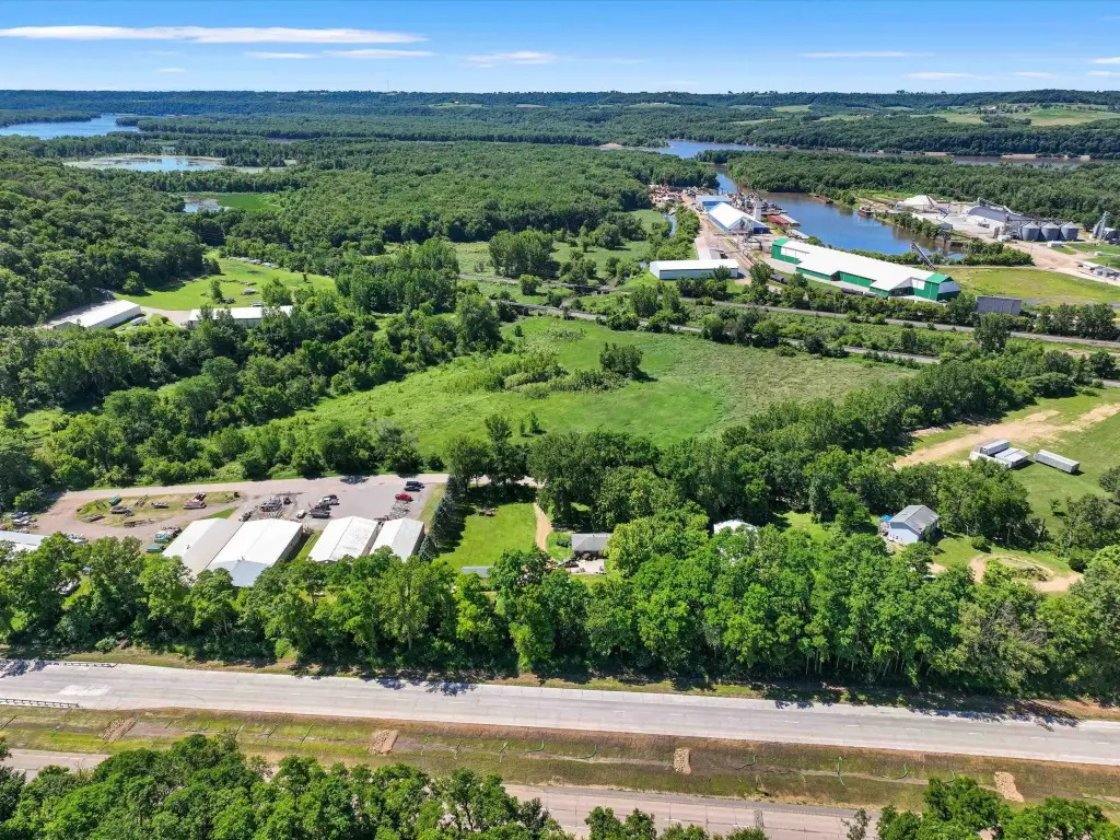
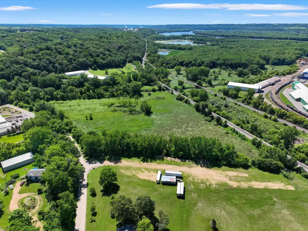
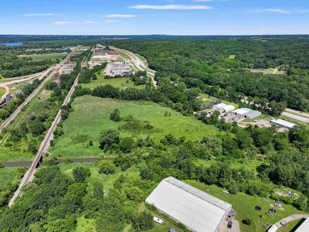
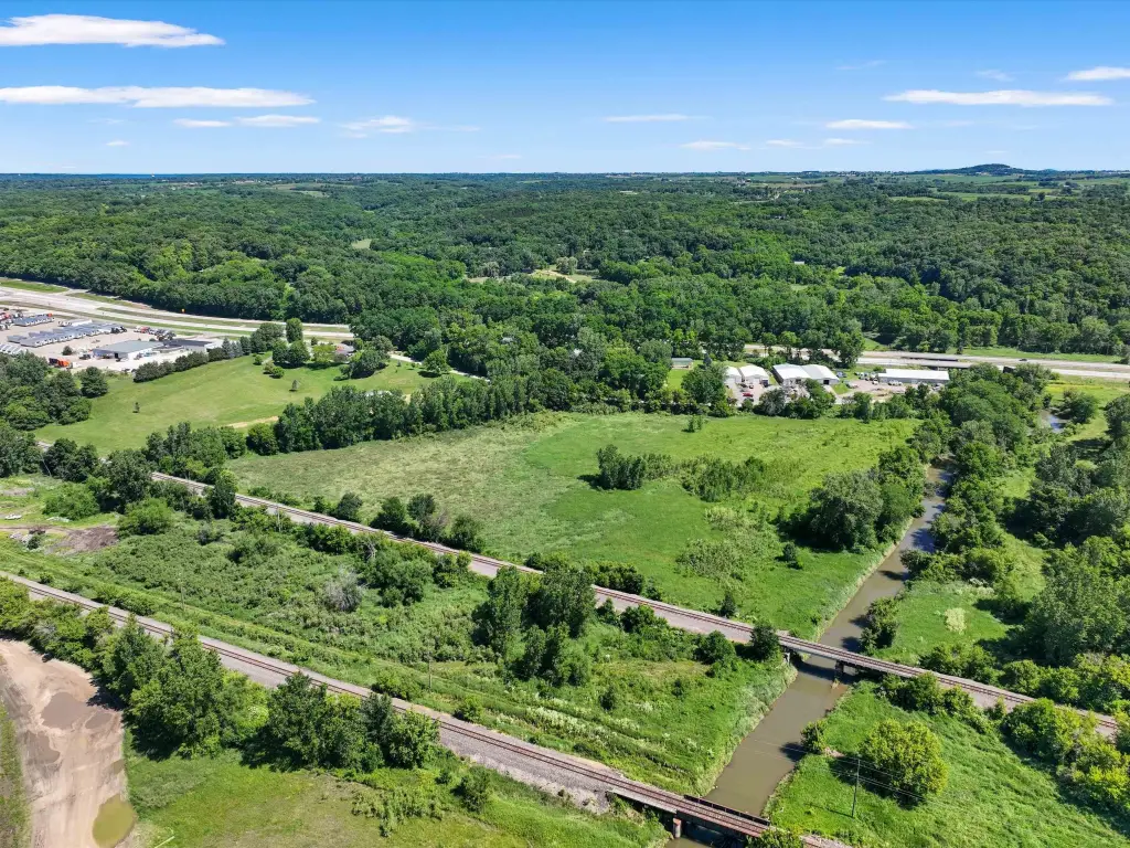
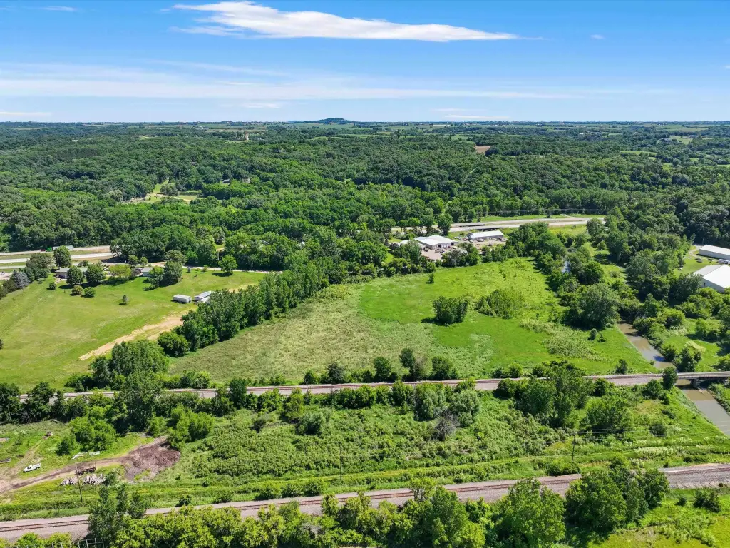
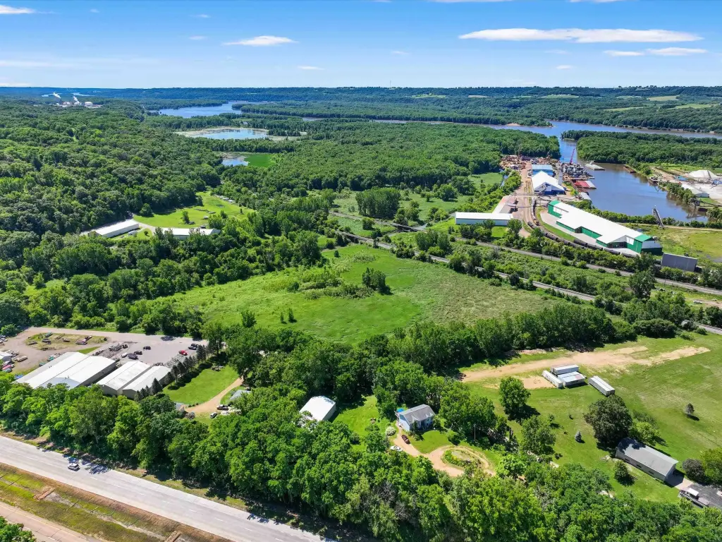
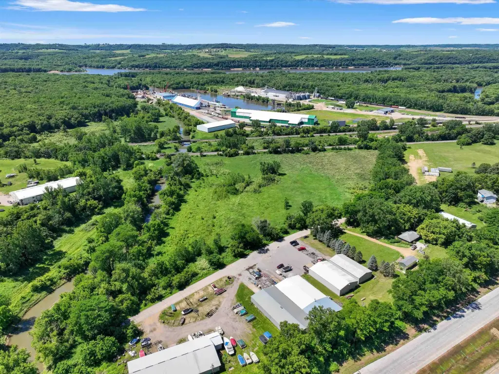
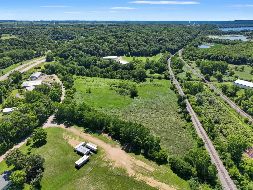
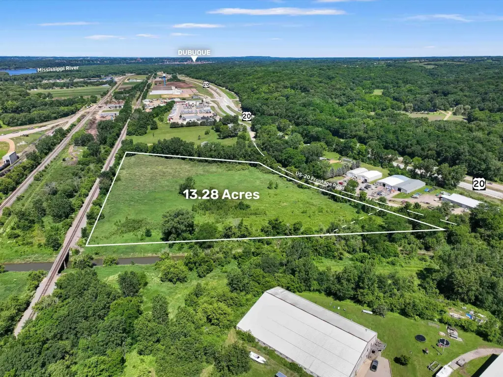
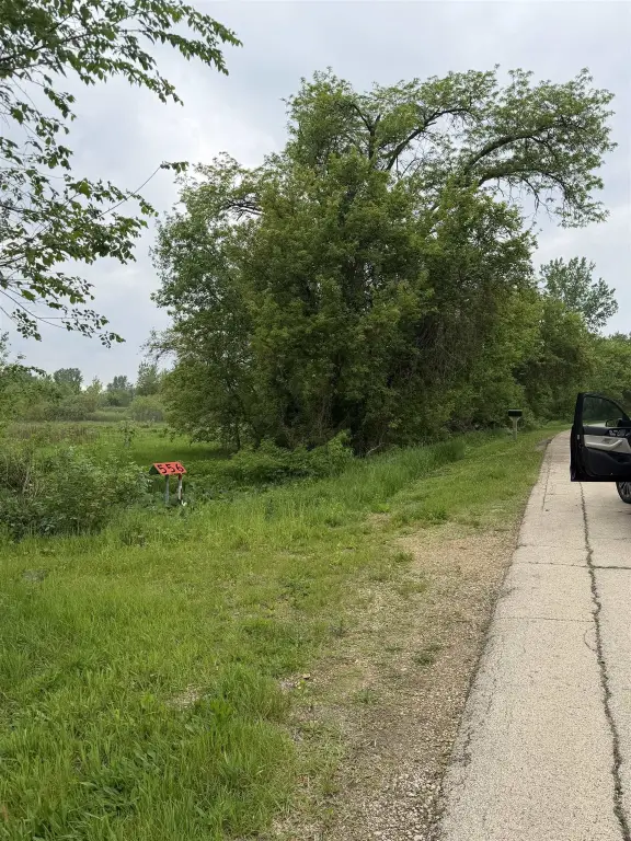
- Commercial/industrial development site on US Highway 20 in East Dubuque
- Water available
- Surrounded by established industrial and commercial users
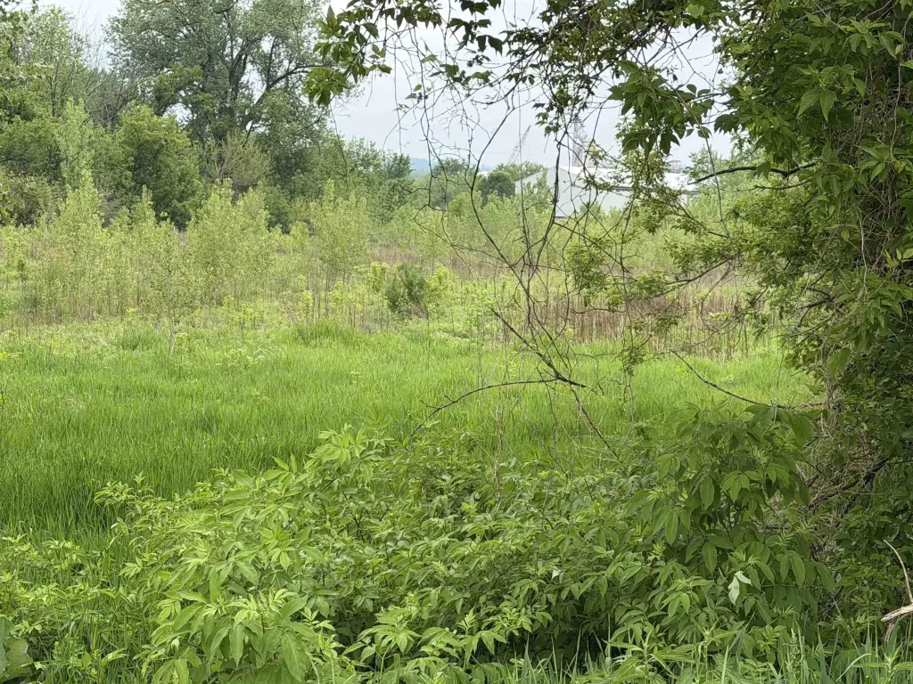
- Located within the 100‑year floodplain; development may be possible with appropriate engineering and site preparation
- Suitable for industrial, logistics, manufacturing, contractor yard, storage, or commercial development (buyer to verify zoning and approvals)
Overview
The site is described as strategically located with excellent visibility along US Highway 20 in East Dubuque. The property is surrounded by established industrial and commercial users, supporting its suitability for contractor yards, storage uses, and other industrial or logistics-related development ideas. The listing also notes potential access to regional transportation networks, subject to confirmation during the underwriting and planning process.
For buyers and tenants seeking a ground-up industrial or commercial development location, the combination of highway visibility and a flexible development plan can be useful, provided the project can be designed to address the 100-year floodplain and align with the Farmland zoning designation. Prospective developers should verify all governmental approvals and confirm that any intended use fits within applicable zoning and permitting requirements, along with any floodplain-related engineering constraints.
Current Use by Public Records
Map
- City
- Dubuque
- County
- Dubuque
- State
- Iowa
- Longitude
- -90.5522
- Latitude
- 42.4721