E 1800 Rd, Bartlesville, OK 74006
- Added:
- Sep 24, 2023
- Days on Market:
- 1016
- Last Refresh:
- Jul 5 at 7:06 pm
Property Features for E 1800 Rd
General Information
- Property type
- Land
- Property subtype
- Other
- Standard status
- Active
- Lot size
- 160.00 Acres
Taxes and HOA fees
- Tax Annual Amount
- 128
Utilities
- Water front features
- Pond
Listing agent Jeff Henry (918) 287-1996
Listing office Cross Timbers Land LLC P.O. Box 569 105 E 6th St, Pawhuska, OK (918) 287-1996
Listing date Sep 24, 2023
Copyright © 2026 My State MLS. All rights reserved. All information provided by the listing agent/broker is deemed reliable but is not guaranteed and should be independently verified.
HighLights
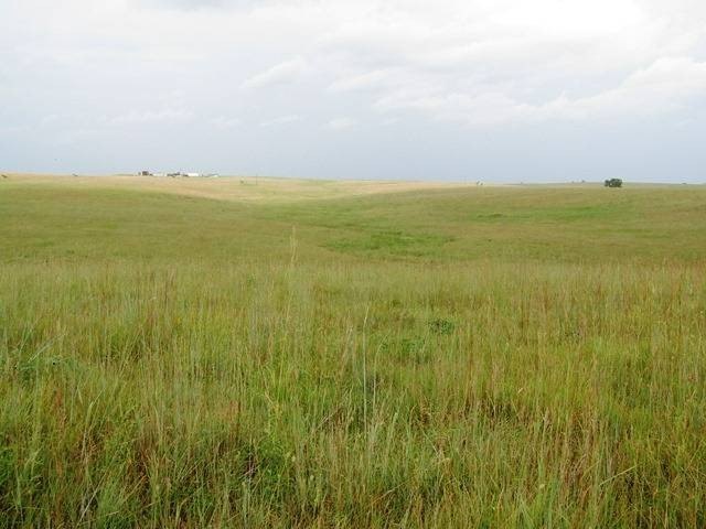
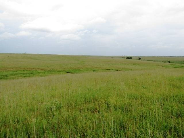
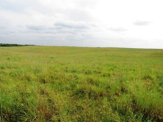
- 160‑acre unfenced tract just NE of Bartlesville (minutes away), with entrance on the north side of E 1800 Road 0.70 miles north of Tuxedo and CR 4020.
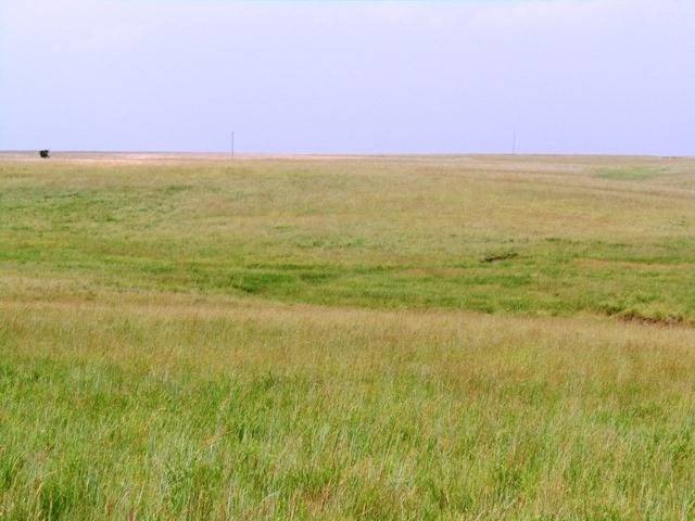
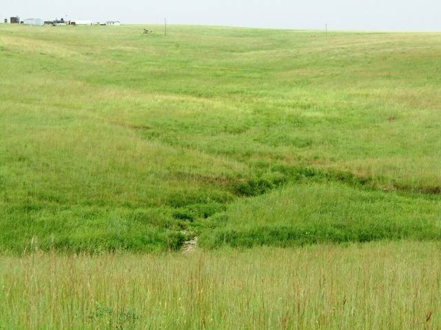
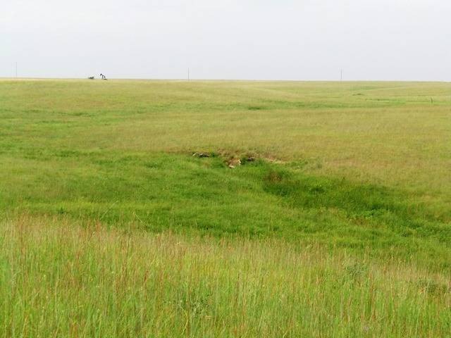
- Property includes an existing 1‑acre pond plus multiple potential pond and dam sites in areas created by draws.
- Tract is bisected by multiple draws, with elevation changes that allow for smaller pond locations.
- Soil base includes Coweta–Eram soils in lower areas and Shidler stony soils on upper flats.
- Currently has 4 inactive oil wells; electricity is available for existing oil production and should be available for future improvements.
- Estimated grazing capacity of about 10 ac per cow unit on a year‑round basis.
Overview
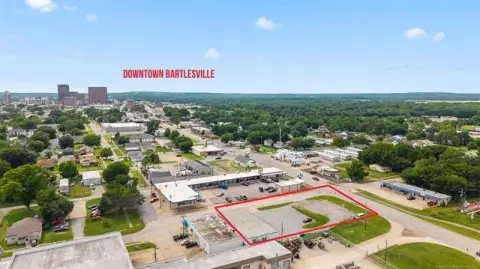
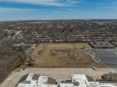
The entrance is located on the north side of E 1800 Road, approximately 0.70 miles north of the Tuxedo and CR 4020 intersection, placing the property just on the northeastern edge of Bartlesville and only minutes from the city.
For buyers seeking a ranchette-style setup near Bartlesville, the combination of pasture base, draw-cut terrain, and water features can support both grazing and recreation objectives. Electricity is available for the existing oil production and should be available for improvements placed on the acreage. Water opportunities are supported by multiple locations to build a substantial dam to impound a larger body of water located below the intersection of the tributaries.
Current Use by Public Records
Location Insight
- Map
- Local Demand
- City
- Bartlesville
- County
- Washington
- State
- Oklahoma
- Longitude
- -95.835368
- Latitude
- 36.764263