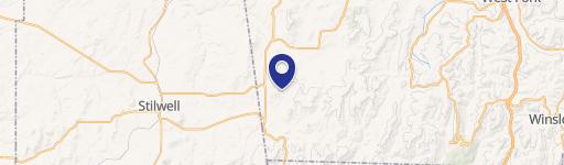
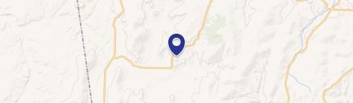
17659 S Skylight Mountain Road, Canehill, AR 72717
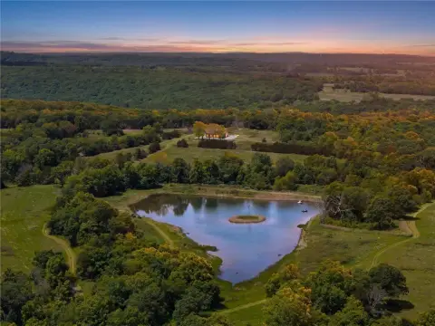
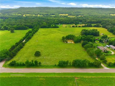
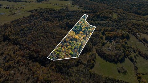
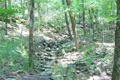
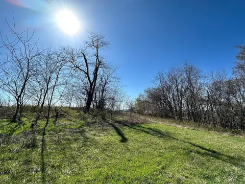
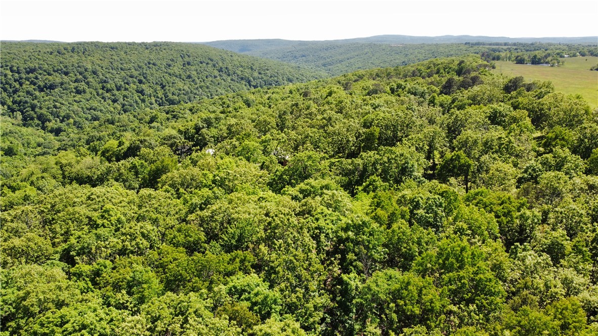
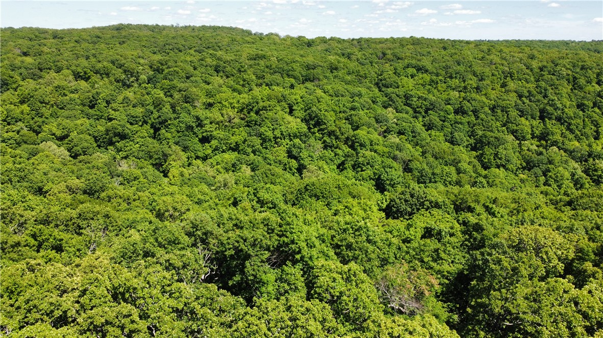
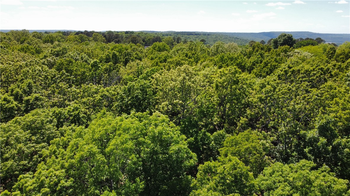
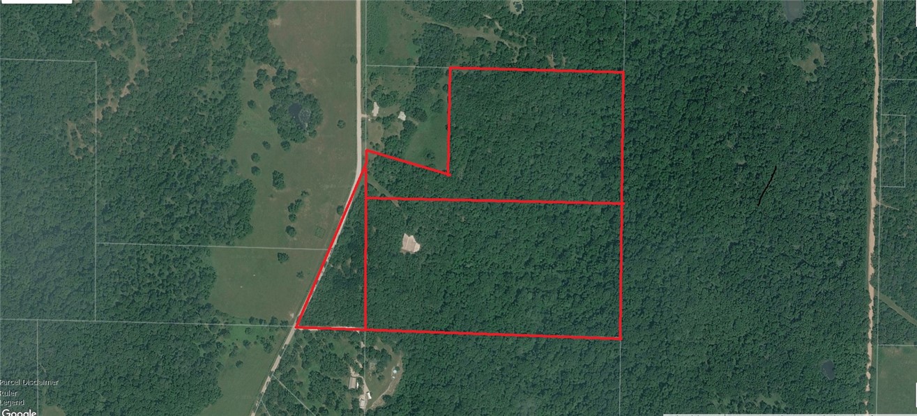
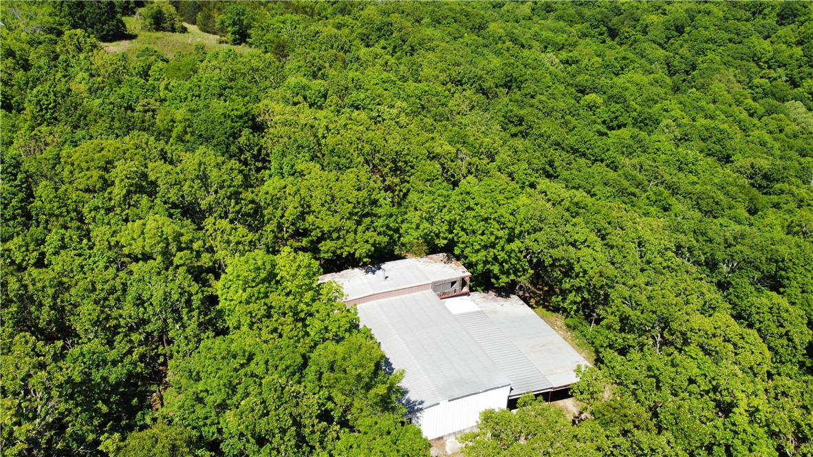
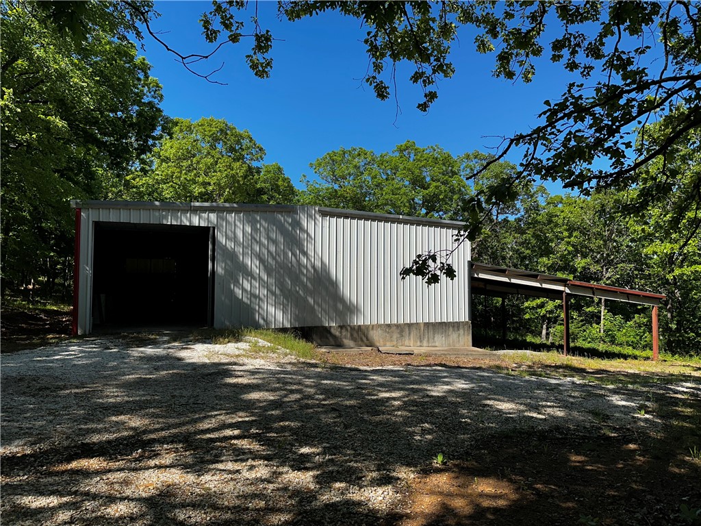
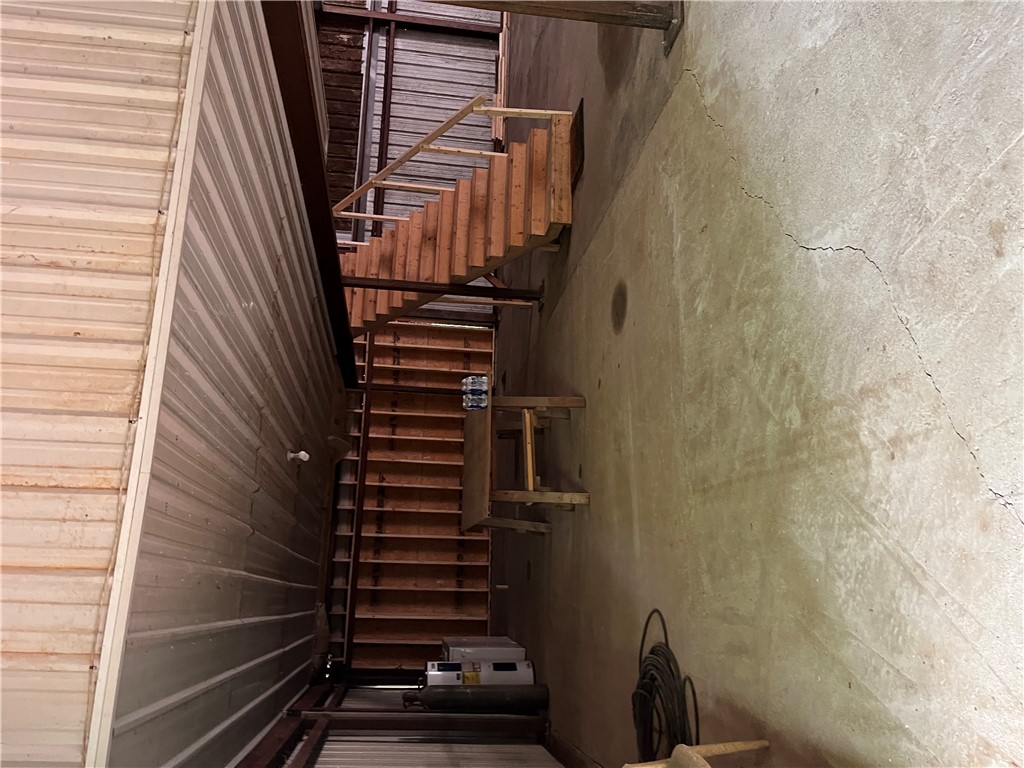
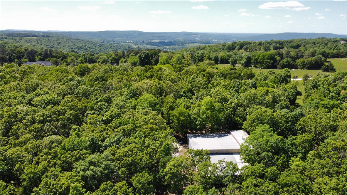
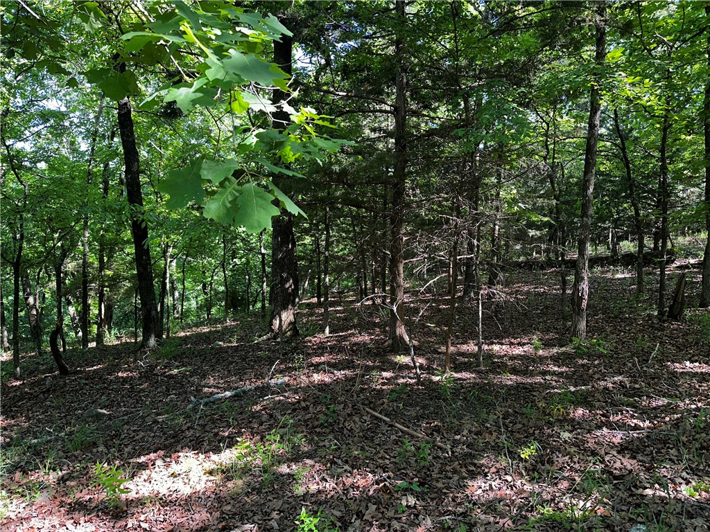
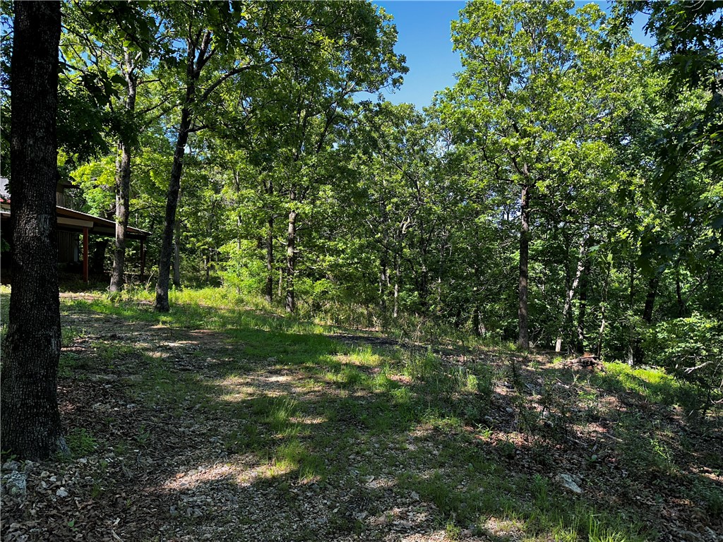
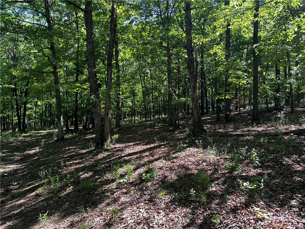
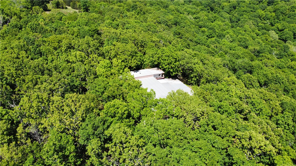
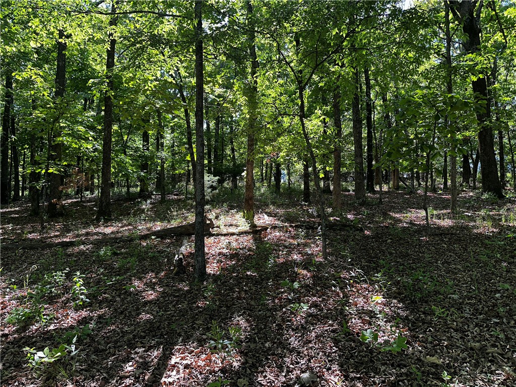
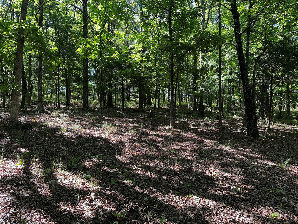
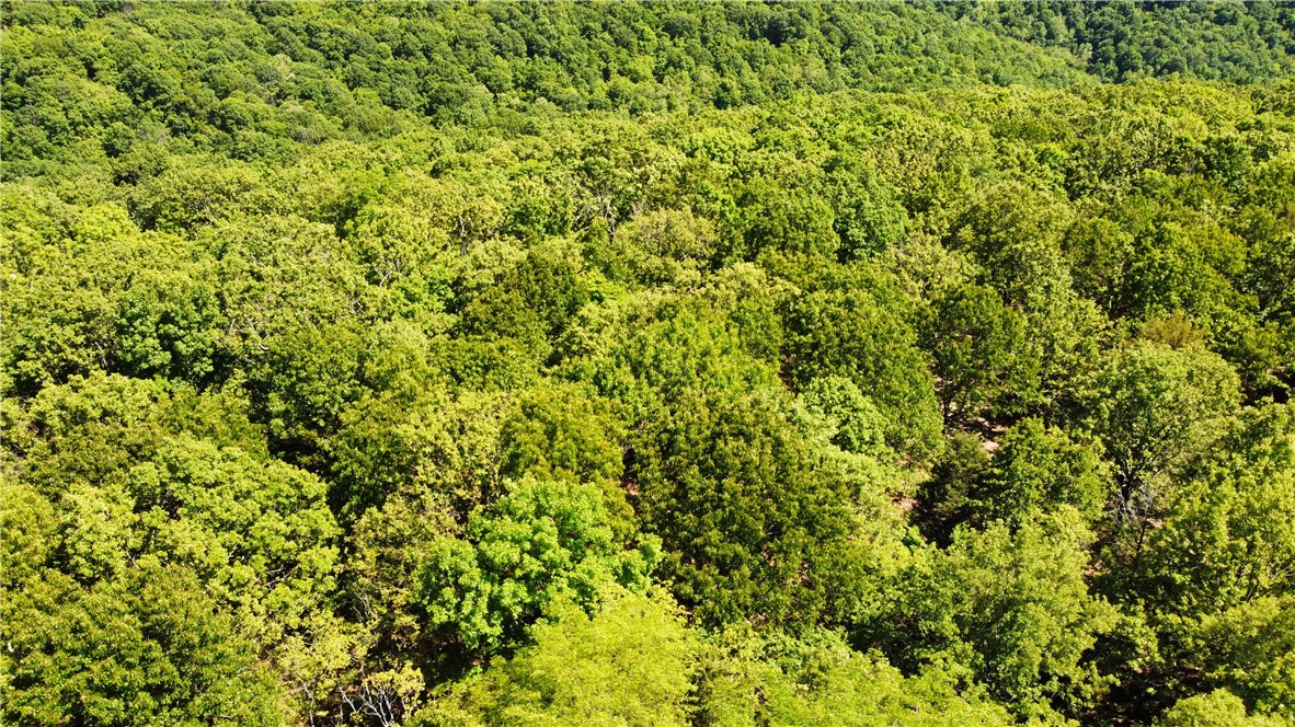
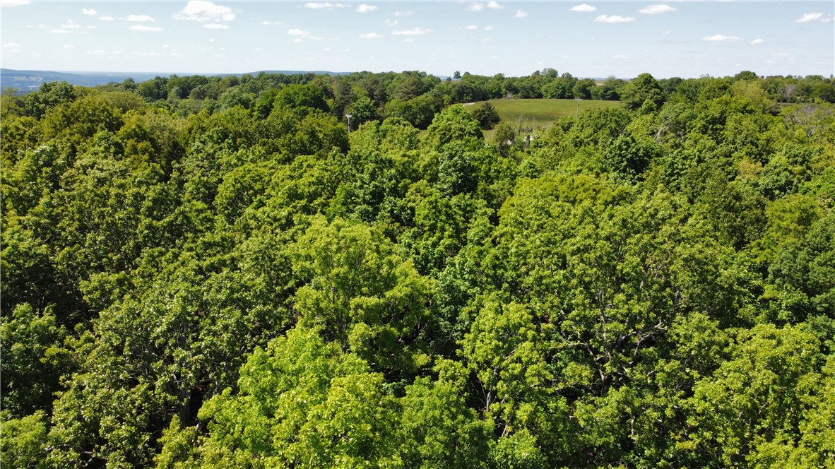
38-acre tract with Garrett Hollow Creek running through it and a 4,000 SF base camp lodge plus covered side addition.
- Added:
- May 20, 2026
- Days on Market:
- 48
- Last Refresh:
- Jul 1 at 6:00 am
Property Features for 17659 S Skylight Mountain Road
General Information
- Standard status
- Active
- Size
- 4,000 SF
- Lot size
- 38.00 Acres
- Property subtype
- Lots/Land

Listing office Crye-Leike REALTORS Rogers (479) 340-6694
Listing date May 20, 2026
Source Exitrealty
Displayed information is deemed reliable but is not guaranteed and should be independently verified.
All listing content including descriptions, pricing, images are the copyrighted material of Crye-Leike REALTORS Rogers
HighLights
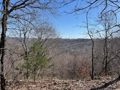
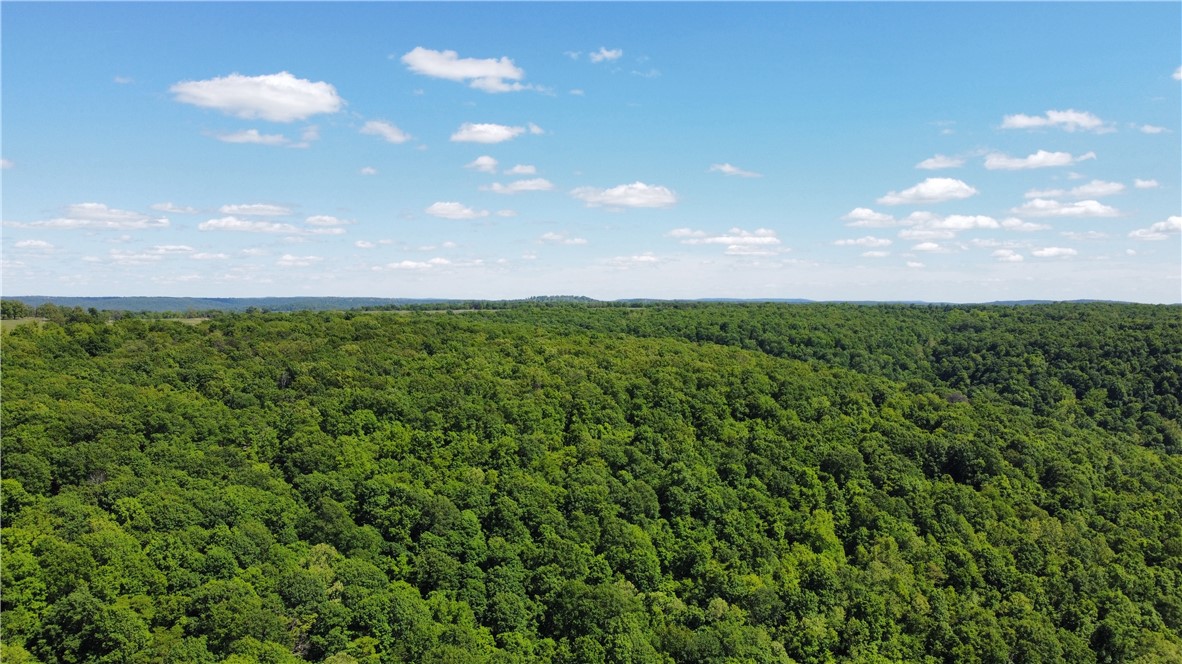
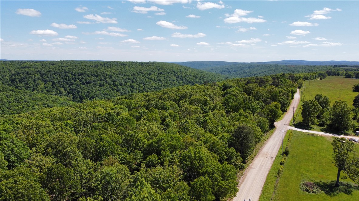
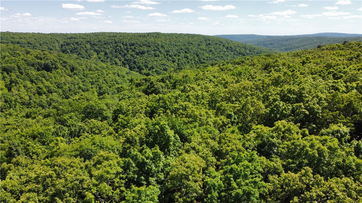
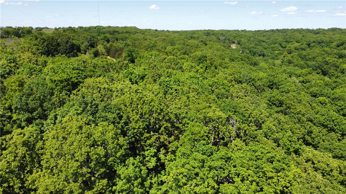
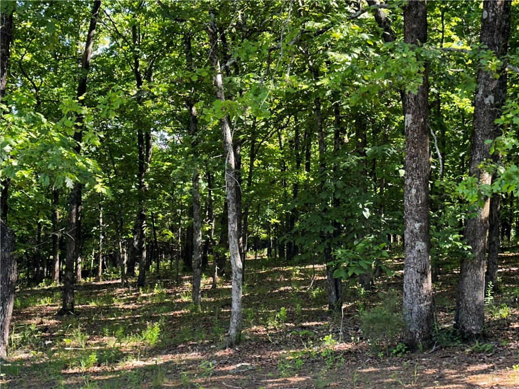
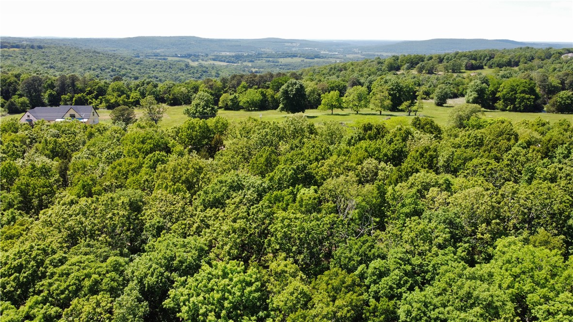
- 38‑acre property overlooking Garrett Hollow with Garrett Hollow Creek running through the entire length of the land
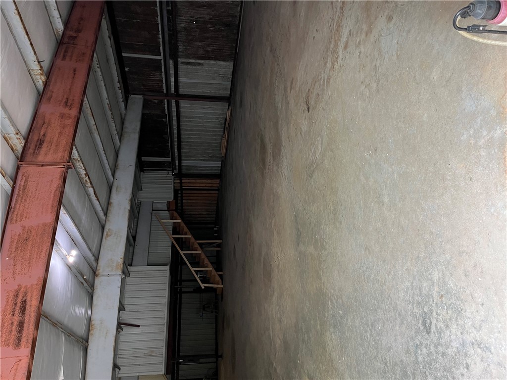
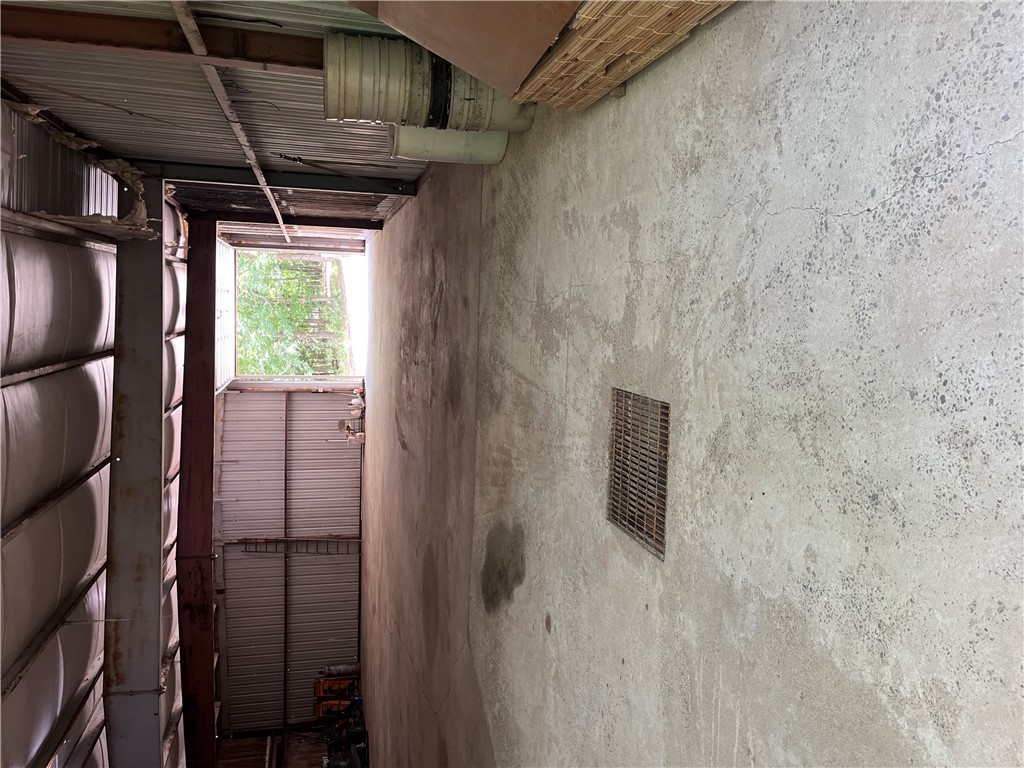
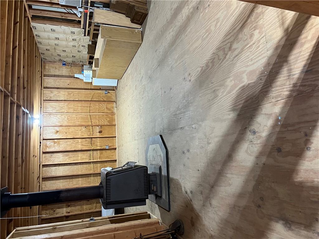
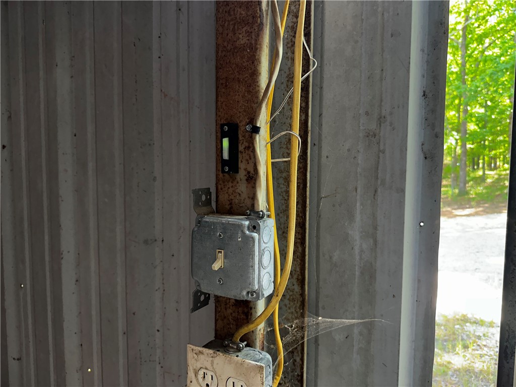
- Base camp lodge includes a 4,000 SF building with an unfinished living area above
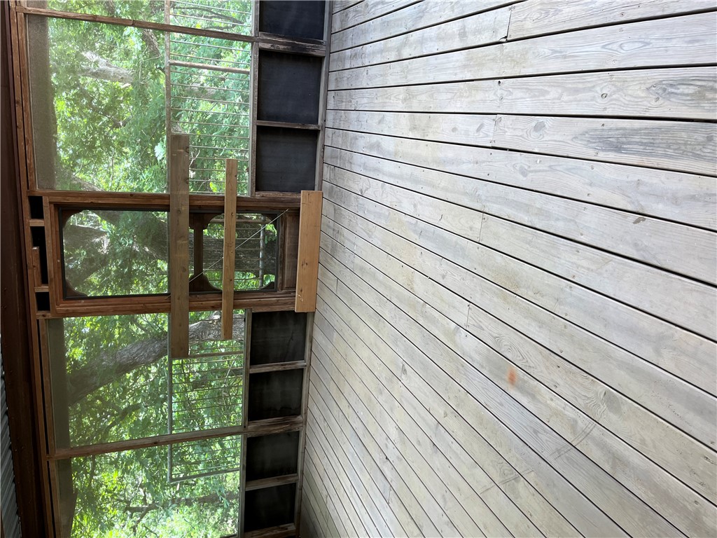
- Additional 2,800 SF covered side addition attached to the lodge
- Approximately 2 miles north of Garrett Hollow WMA
- Municipal water available at the road plus a recent 600 ft well on site
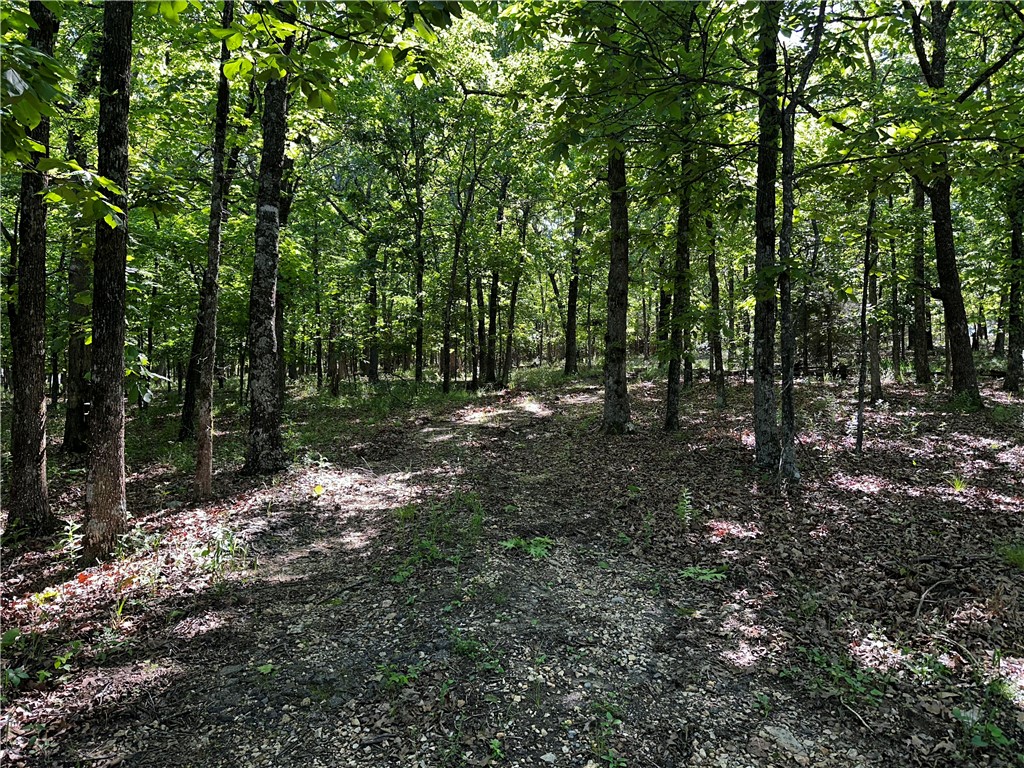
- Multiple building sites on the flat western portion with utility access
Overview
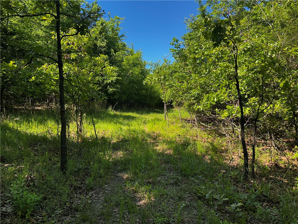
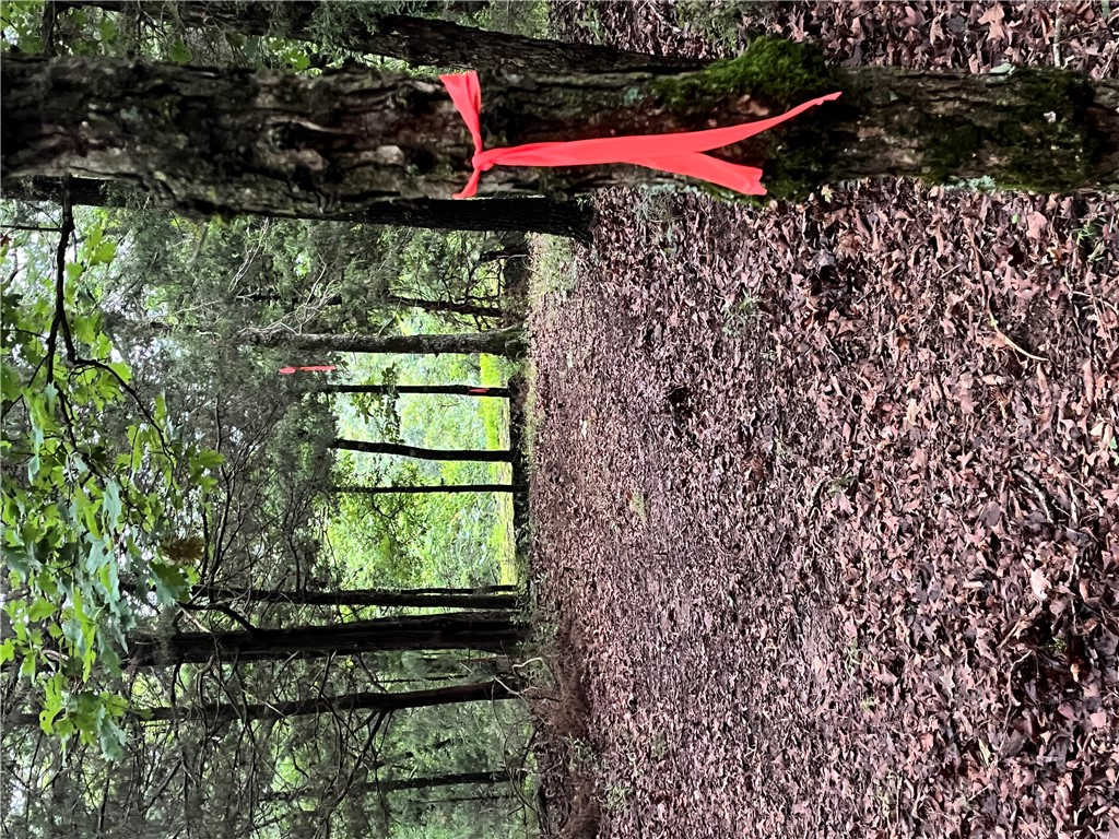
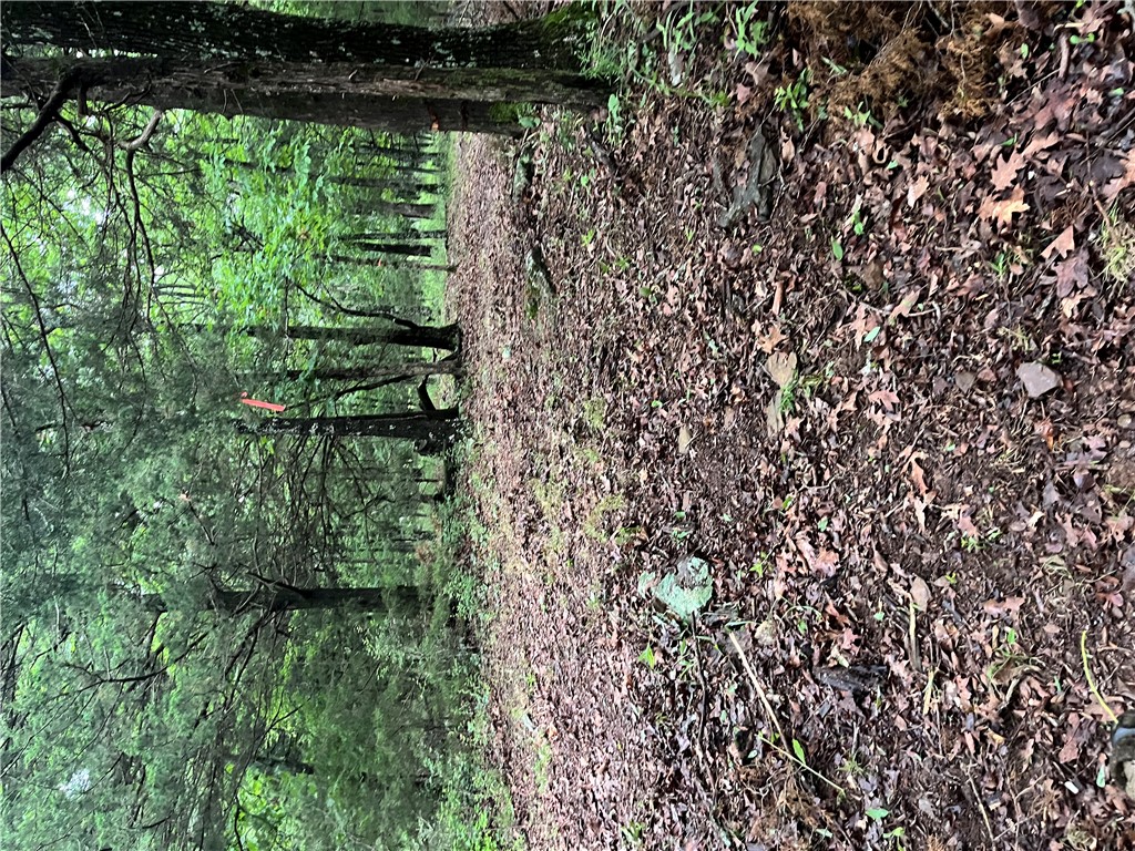
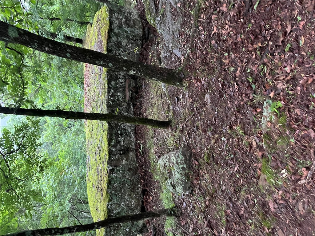
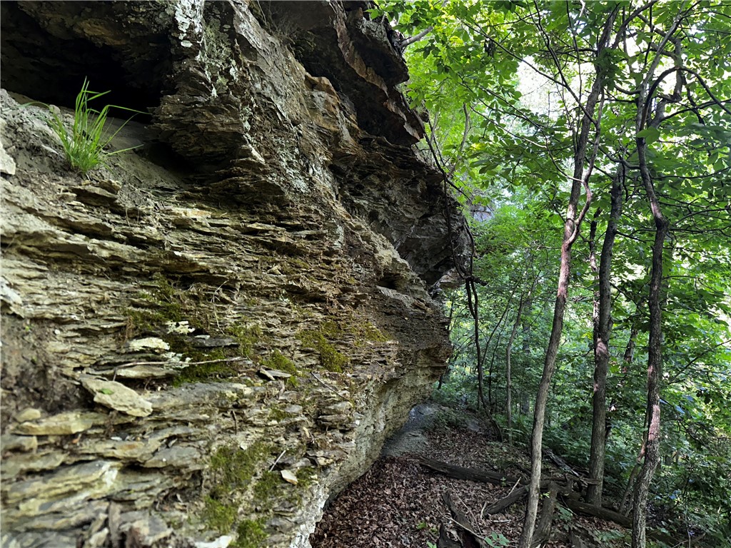
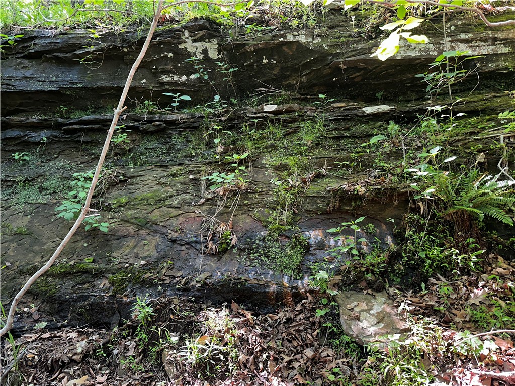
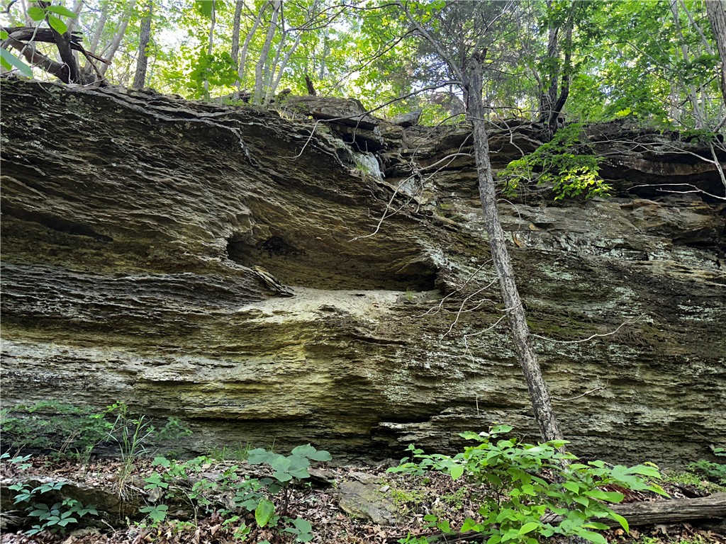
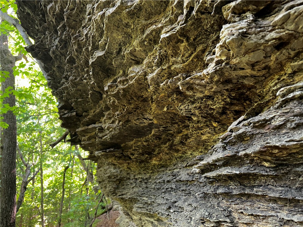
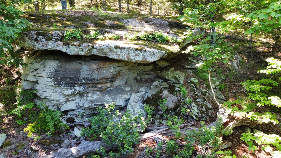
Garrett Hollow Creek runs through the entire length of the property, and the land overlooks Garrett Hollow. The property is described as being about 2 miles north of the Garrett Hollow WMA. Municipal water is noted as available at the road, and there is also a recent 600 ft well in place. A referenced approach north from the main building leads along a rough cut road to the lower portion, including rock features.
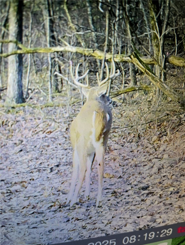
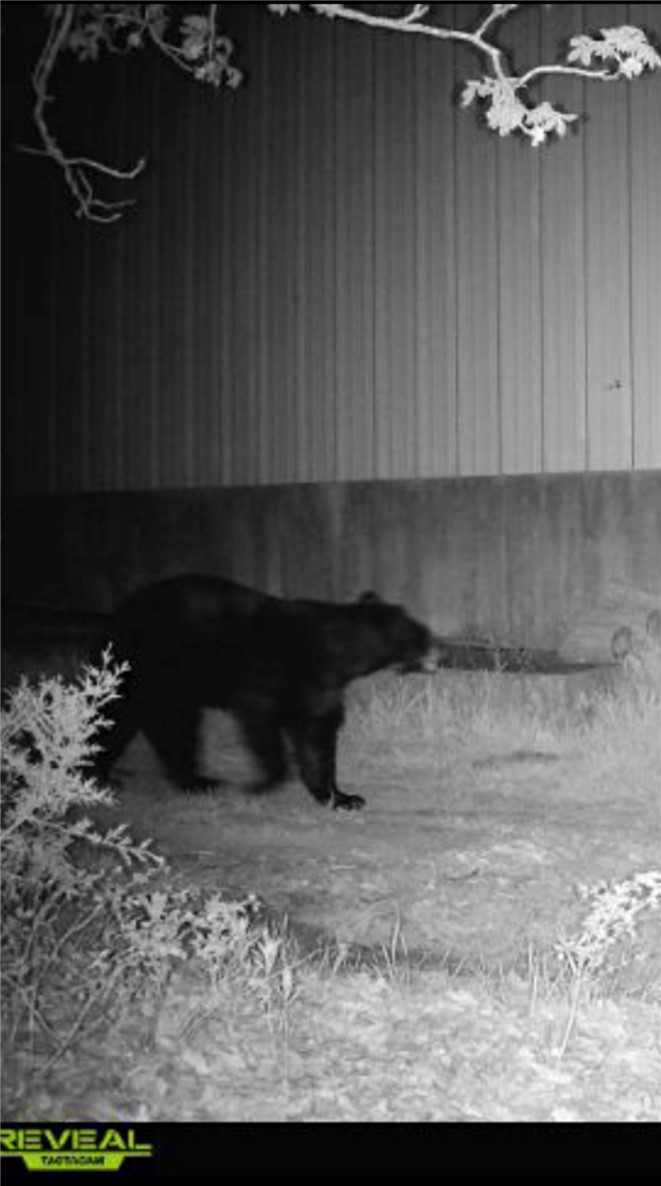
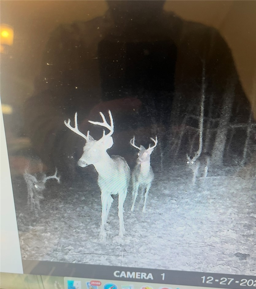
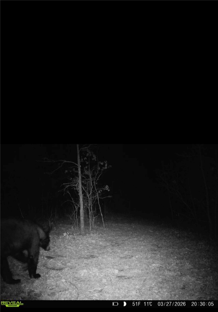
The existing lodge and covered addition make the property well suited for an operator looking for an on-site base for outdoor use, or for a buyer who wants a living and work setup that can support campground-style activity. With additional building sites and on-property water sources (municipal water at the road and a well), it may also appeal to buyers planning future development while keeping a creek-running, hunting-focused configuration. The surrounding area is described as a sportsman destination with deer, turkey, and bear activity.
Current Use by Public Records
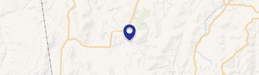
Map
- City
- Canehill
- County
- Washington
- State
- Arkansas
- Longitude
- -94.39159
- Latitude
- 35.842014