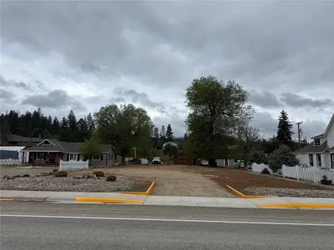
172 Kay Lane, Darby, MT 59829


- Added:
- Sep 22, 2025
- Days on Market:
- 288
- Last Refresh:
- Jul 6 at 12:06 am
Property Features for 172 Kay Lane
General Information
- Property type
- Land
- Property subtype
- Other
- Standard status
- Active
- APN
- 13117614202760000
- Lot size
- 0.32 Acres
Taxes and HOA fees
- Tax Year
- 2024
- Tax Description
- Sub/Blk/Lot TREE-MENDOUS PL/ / 10 Geo 1176-14-2-02-76-0000 9-1 TREE-MENDOUS PLACE SUBD LOT 10 13,784 SQ FT
- Tax Annual Amount
- 287
Utilities
- Sewer type
- Public Sewer
- Water source
- Public

Listing agent Dawn Luedecke License #RRE-RBS-LIC-98383 (406) 546-0445
Listing office Double Black Diamond Real Estate 5 W Mendenhall St 202, Darby, MT (406) 830-5474
Listing date Sep 22, 2025
Copyright © 2026 Montana Regional MLS. All rights reserved. All information provided by the listing agent/broker is deemed reliable but is not guaranteed and should be independently verified.
HighLights
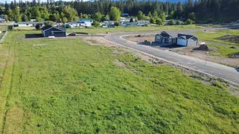
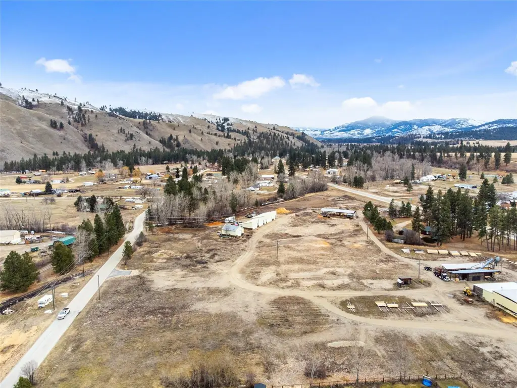
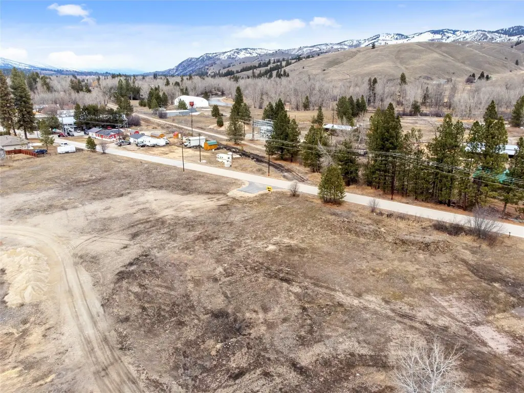
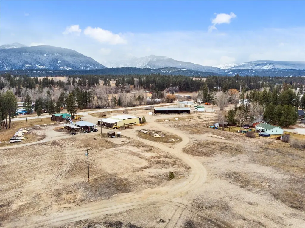
- Build‑ready lots in the Tree‑Mendous Place Subdivision in Darby
- Approximately 0.25‑acre lots border scenic Tin Cup Creek and Darby South Park
- Public water and public sewer available
- Within walking distance of downtown Darby
- Asphalt roads scheduled for completion within the next few weeks
- Future HOA planned to maintain the stormwater basin (annual dues to be determined)
Overview
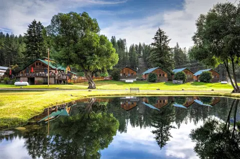
The lot is identified as being within walking distance of downtown Darby. The surrounding area is associated with outdoor recreation, including access to the Bitterroot River and Painted Rocks Reservoir via nearby West Fork Road.
For buyers looking to construct a primary residence or a vacation retreat, this lot offers a creek- and park-adjacent setting within a developing neighborhood. Because infrastructure and HOA terms are still being finalized, buyers may want to confirm timing for road completion and any future HOA requirements during due diligence.
Current Use by Public Records
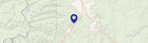
Map
- City
- Darby
- County
- Ravalli
- State
- Montana
- Longitude
- -114.1737913
- Latitude
- 46.0154463