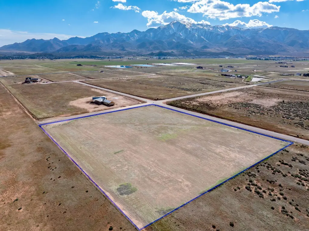
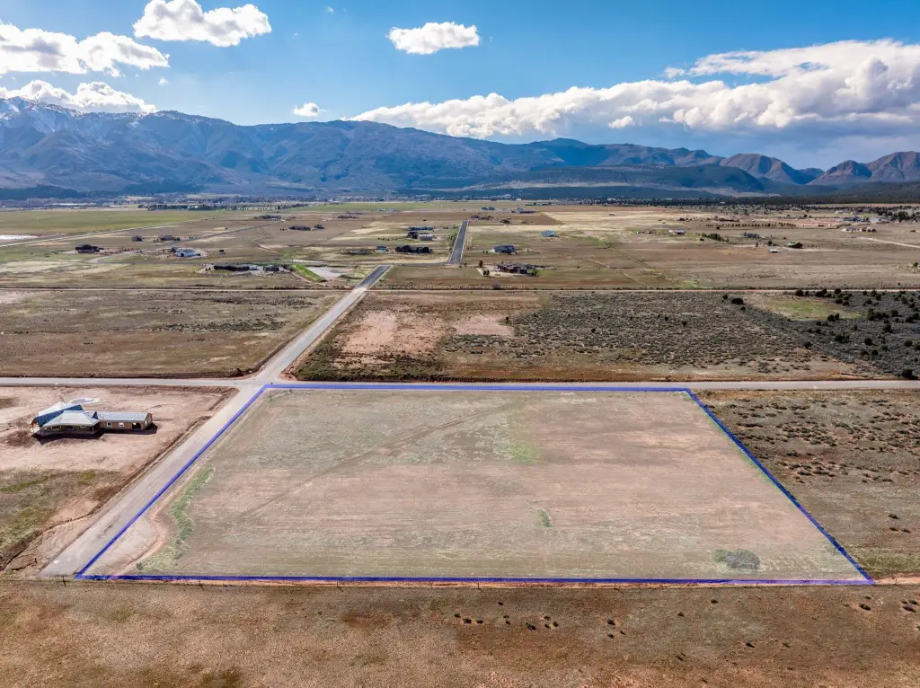
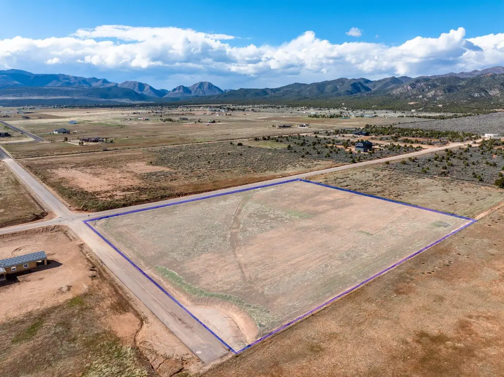
1705 E 460 N, New Harmony, UT 84757
LAND - New Harmony, UT
- Added:
- Mar 6, 2026
- Days on Market:
- 124
- Last Refresh:
- Jul 8 at 1:06 am
Property Features for 1705 E 460 N
General Information
- Property type
- Land
- Property subtype
- Other
- Standard status
- Active
- APN
- KHS-18-NS
- Size
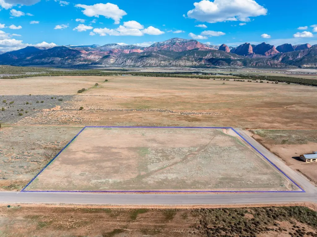
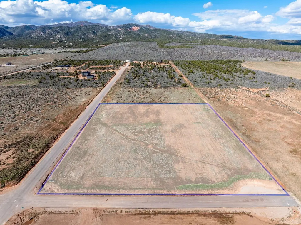
- 245,243 SF
- Lot size
- 5.63 Acres
Taxes and HOA fees
- Tax Annual Amount
- 2484
Listing agent BRYAN S BURNETT License #5496981-SA (435) 375-4564
Listing office CENTURY 21 EVEREST ST GEORGE 162 N 400 E Bldg C Ste 201, St. George, UT (435) 673-9266
Listing date Mar 6, 2026
Copyright © 2026 Washington County Board of Realtors. All rights reserved. All information provided by the listing agent/broker is deemed reliable but is not guaranteed and should be independently verified.
HighLights
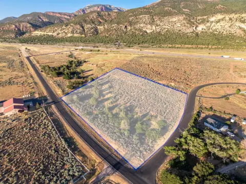
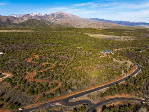
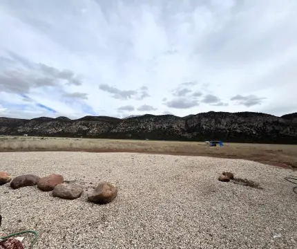
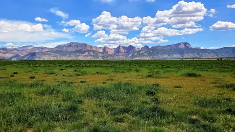
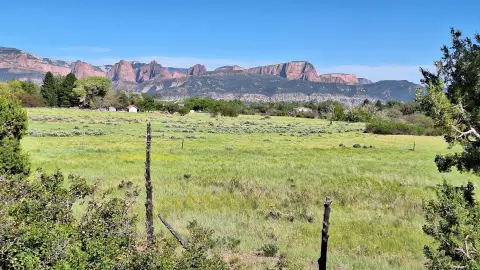
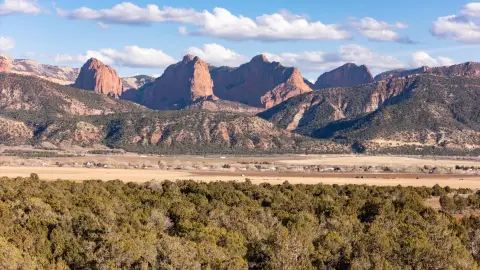
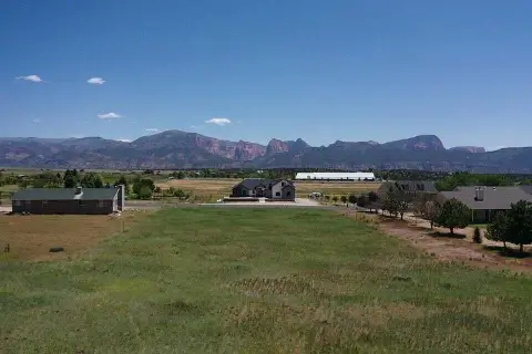
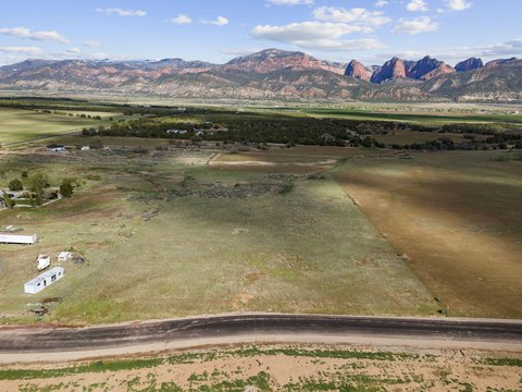
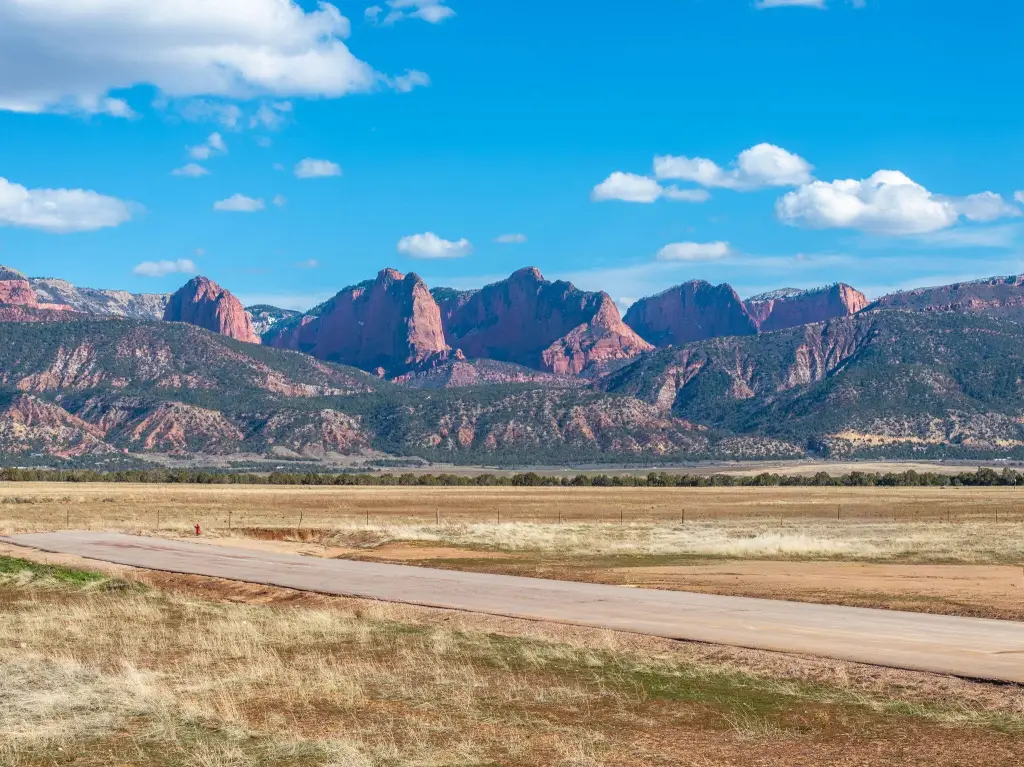
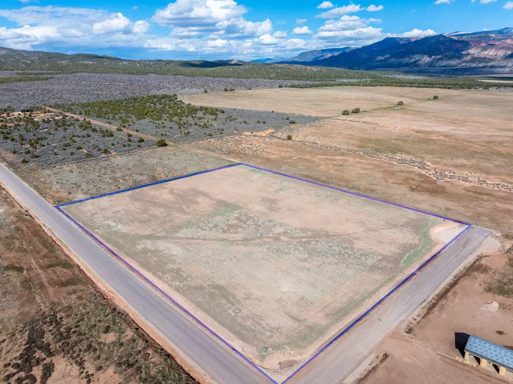
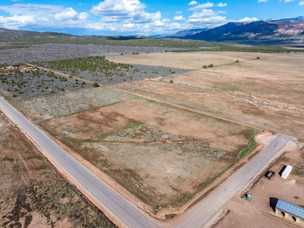
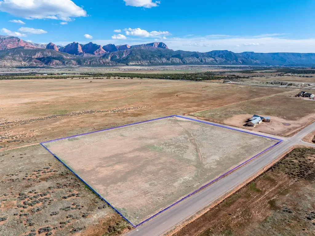
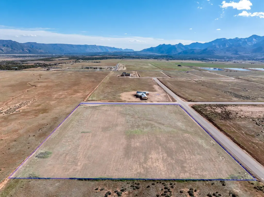
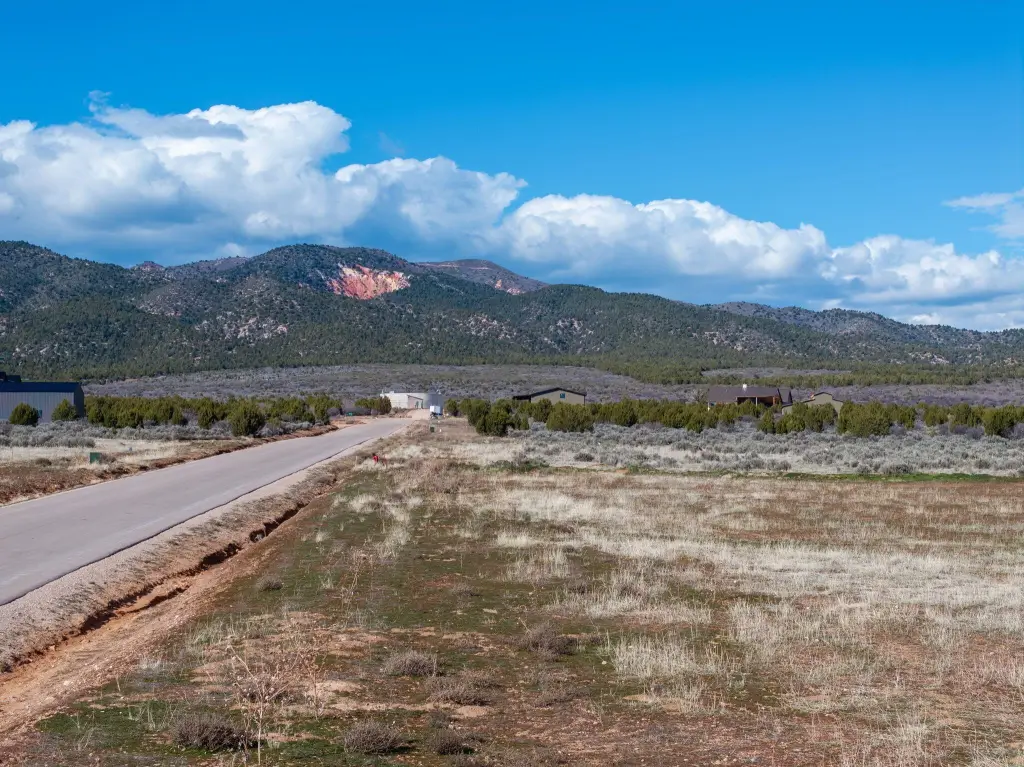
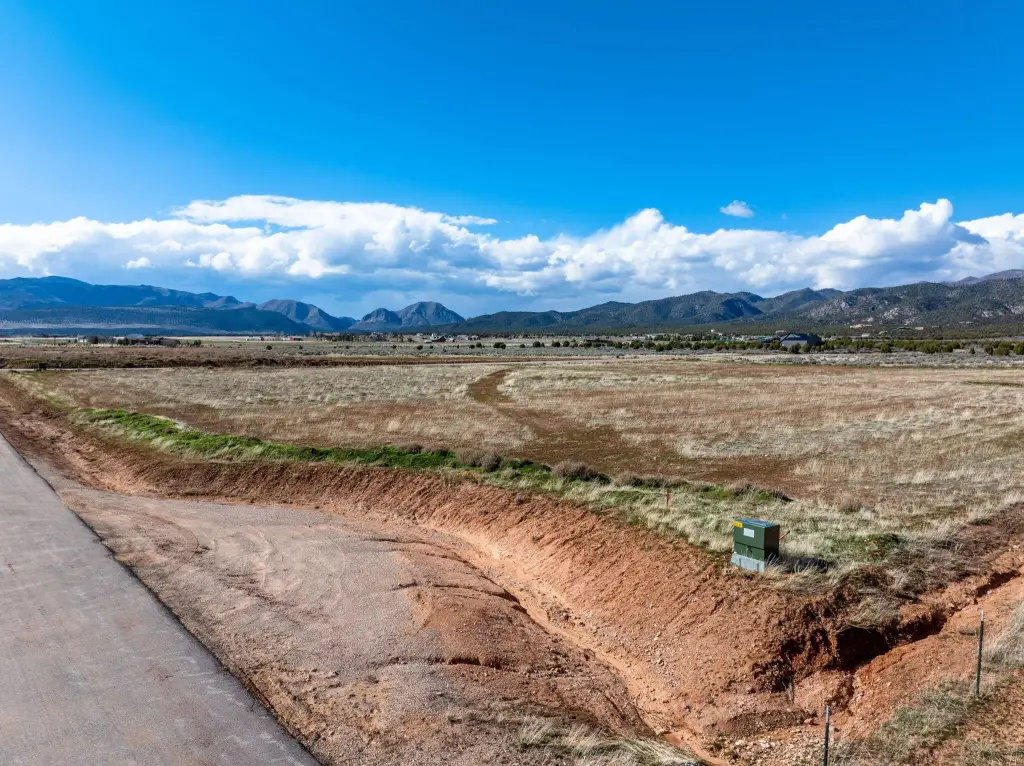
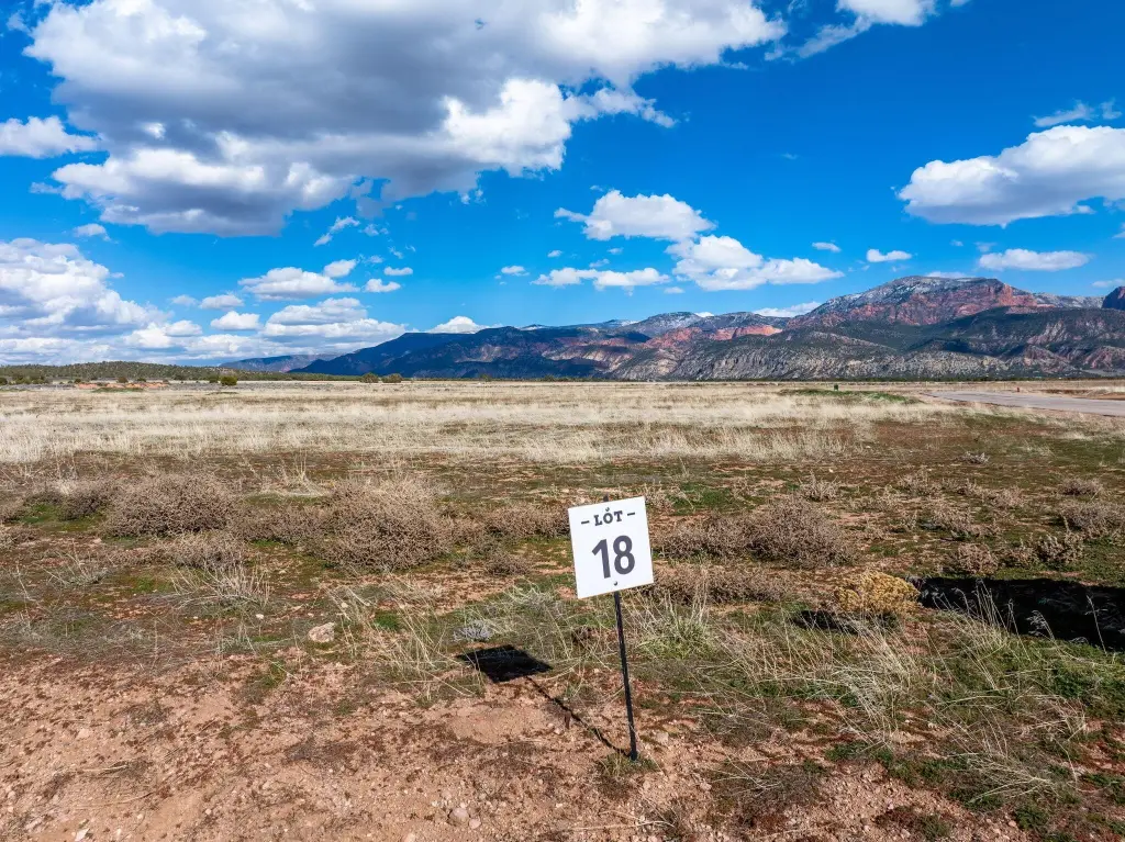
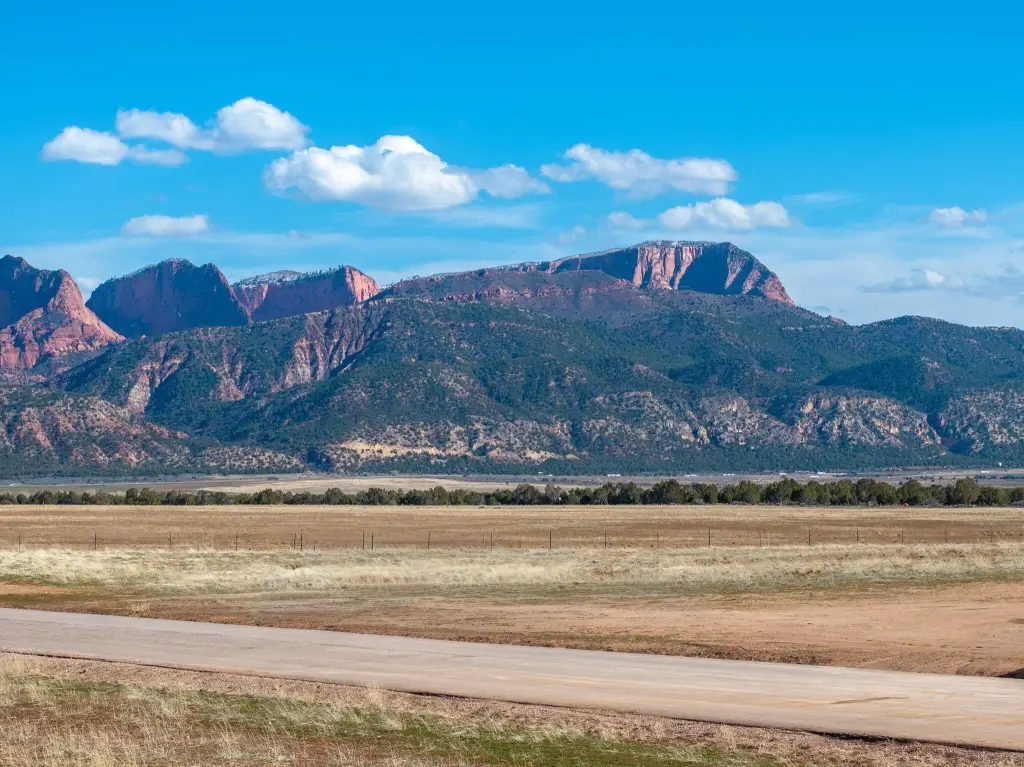
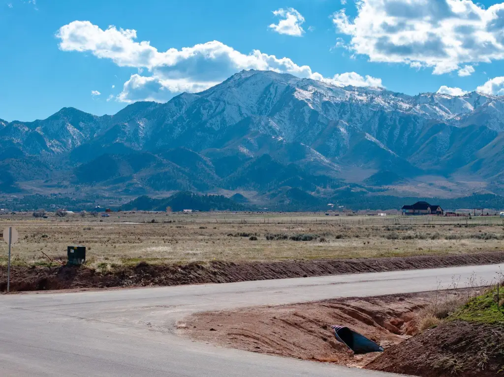
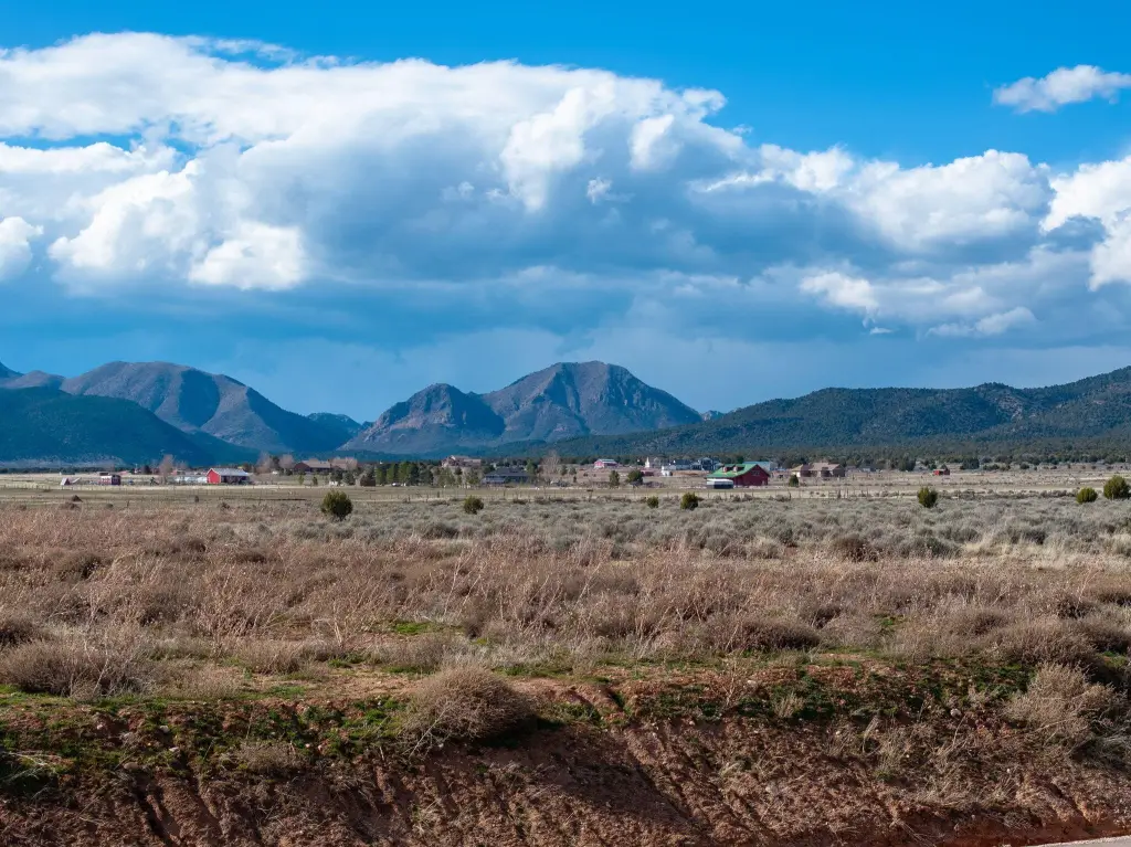
- 5.63‑acre corner lot offering panoramic mountain and red rock views.
- Flat, buildable parcel with paved road access and power nearby.
- Part of the Washington Conservancy Water District.
- Located in a quiet area with established homes nearby.
- Room for a home, shop, animals, or outdoor recreation.
- Conveniently situated between Cedar City and St. George.
Overview
Current Use by Public Records
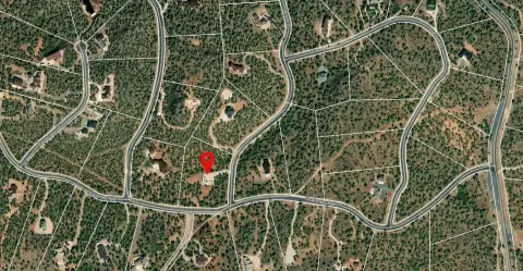
Map
- City
- New Harmony
- County
- Washington
- State
- Utah
- Longitude
- -113.268431
- Latitude
- 37.487584