1700 Arcadia Lane, Westmore, VT 05860

- Added:
- Jun 22, 2026
- Days on Market:
- 3
- Last Refresh:
- Jun 24 at 4:06 am
Property Features for 1700 Arcadia Lane
General Information
- Property type
- Land
- Property subtype
- Other
- Zoning
- Westmore
- Standard status
- Active
- Lot size
- 15.53 Acres
Taxes and HOA fees
- Tax Year
- 2025
- Tax Annual Amount
- 600
Listing agent Scott Palzer (802) 334-1200
Listing office Century 21 Farm & Forest/Burke 234 VT Rte 114, Derby, VT (802) 626-4222
Listing date Jun 22, 2026
Copyright © 2026 PrimeMLS. All rights reserved. All information provided by the listing agent/broker is deemed reliable but is not guaranteed and should be independently verified.
HighLights
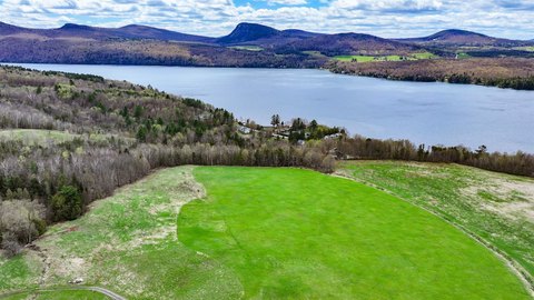
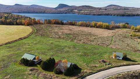
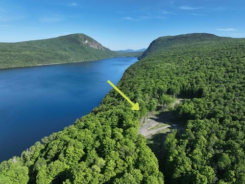
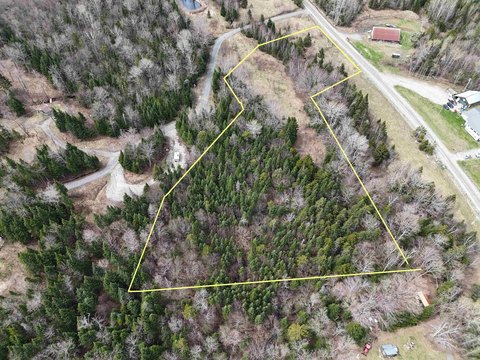
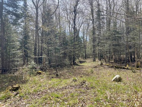
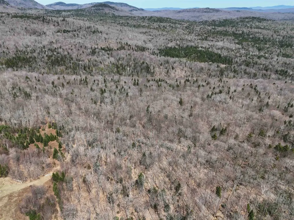
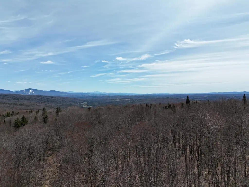
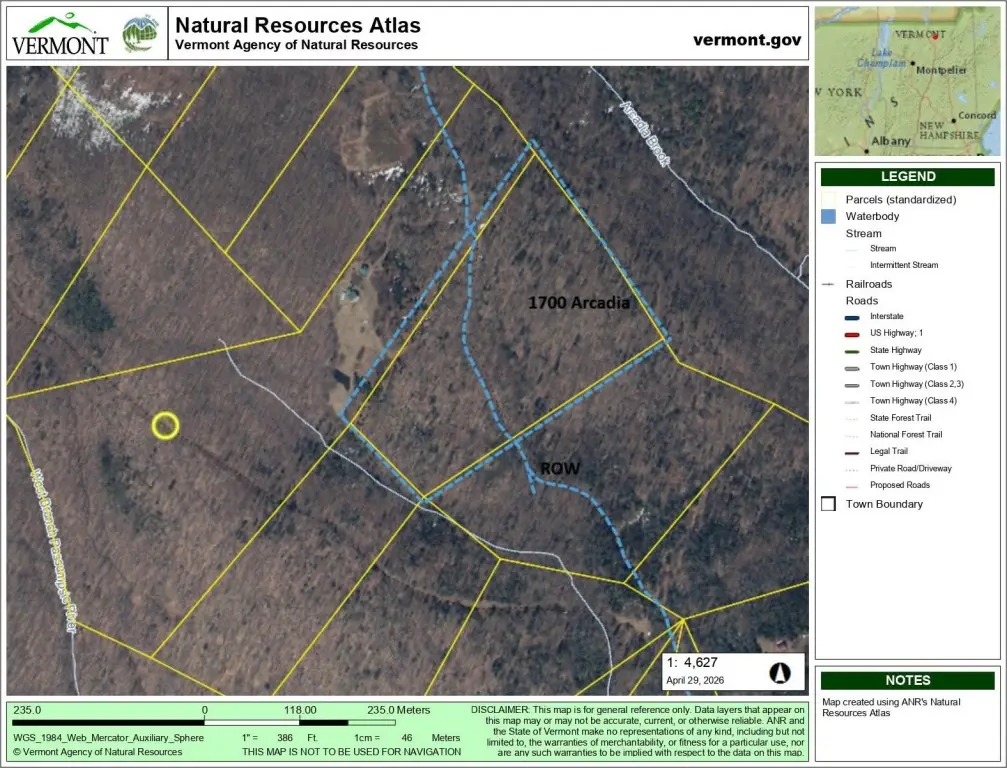
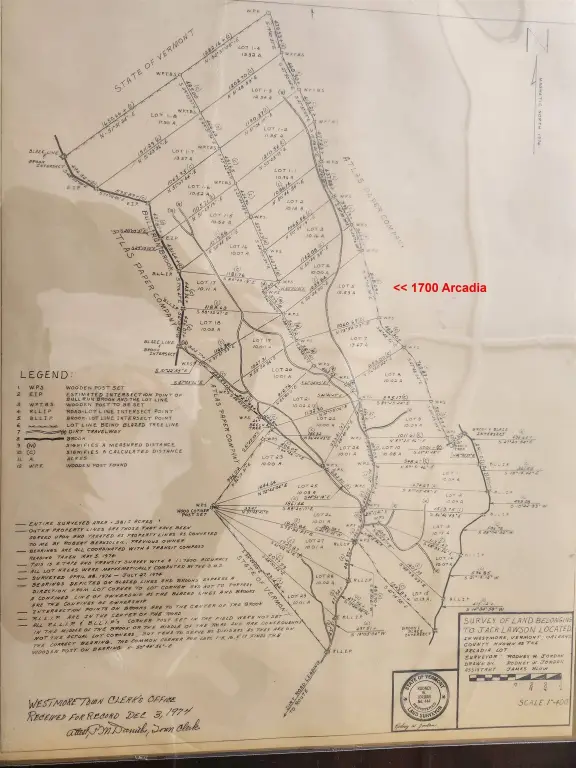
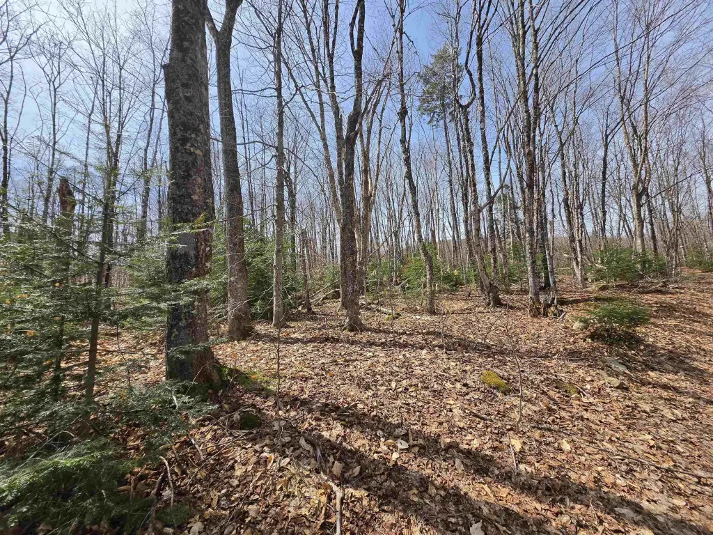
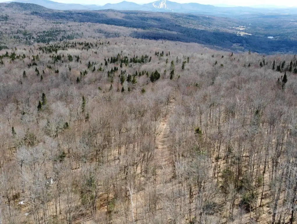
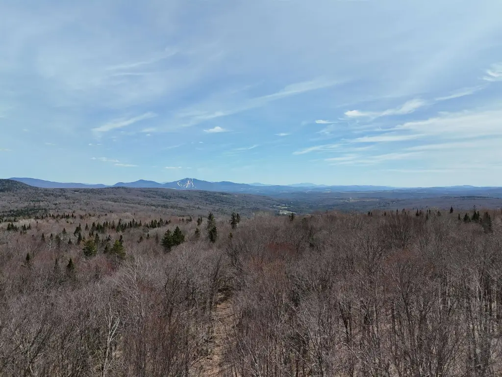
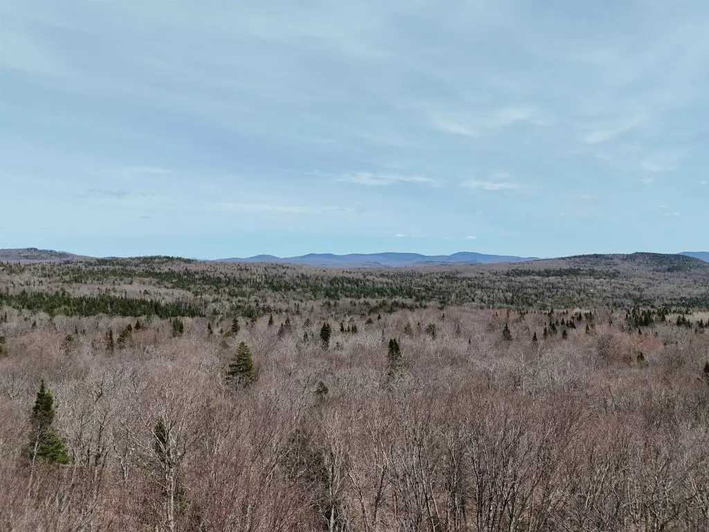
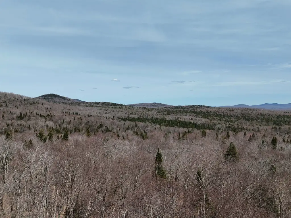
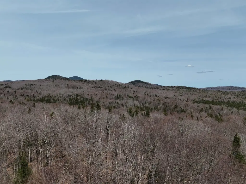
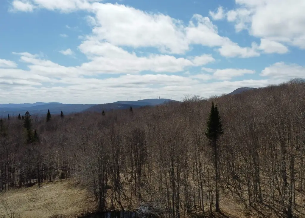
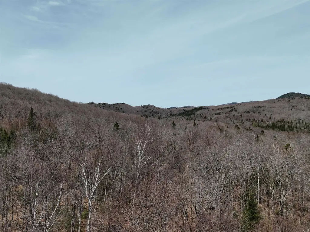
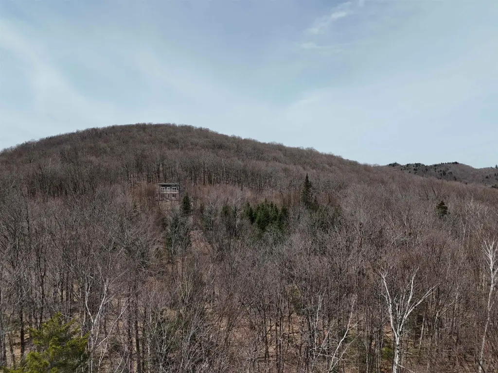
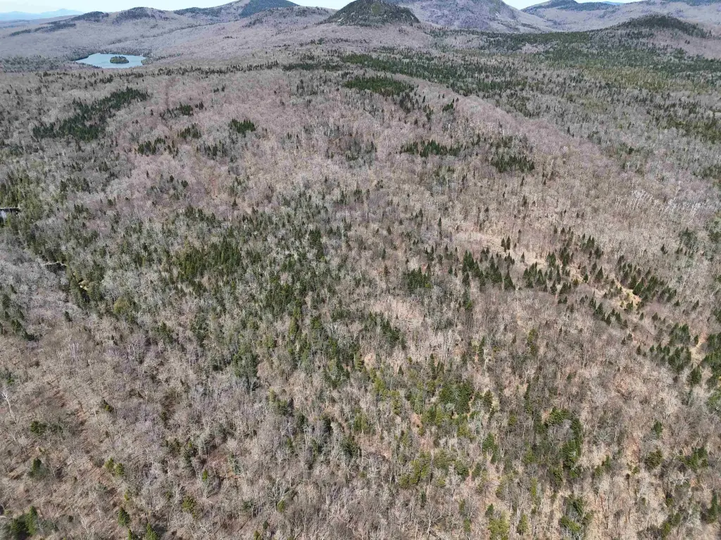
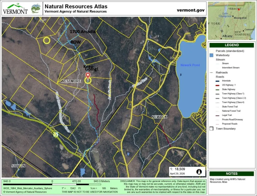
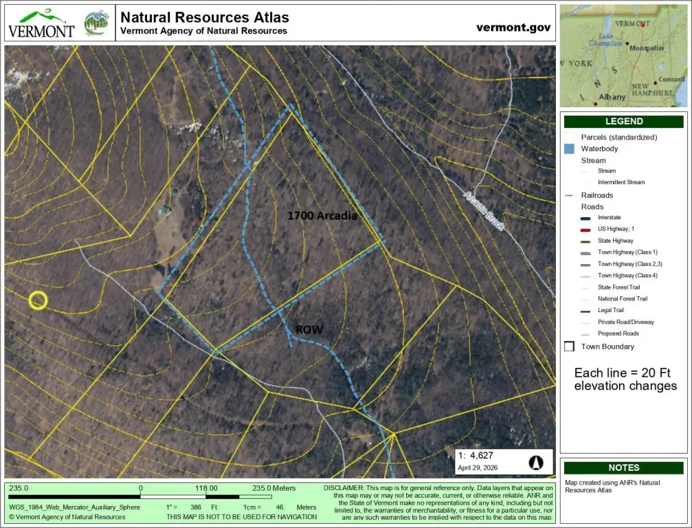
- 15.53‑acre remote lot near Willoughby Lake on the southeast hip of Mt. Pisgah
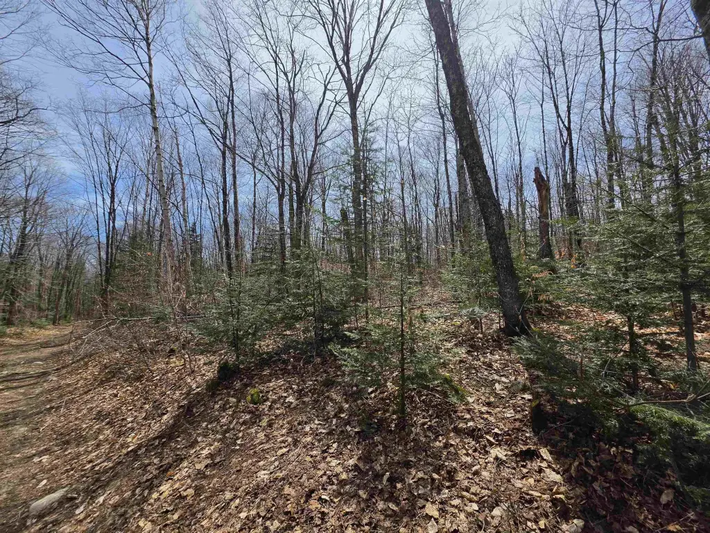
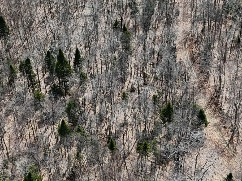
- Gently sloped terrain covered with hardwoods (mostly under 12" diameter)
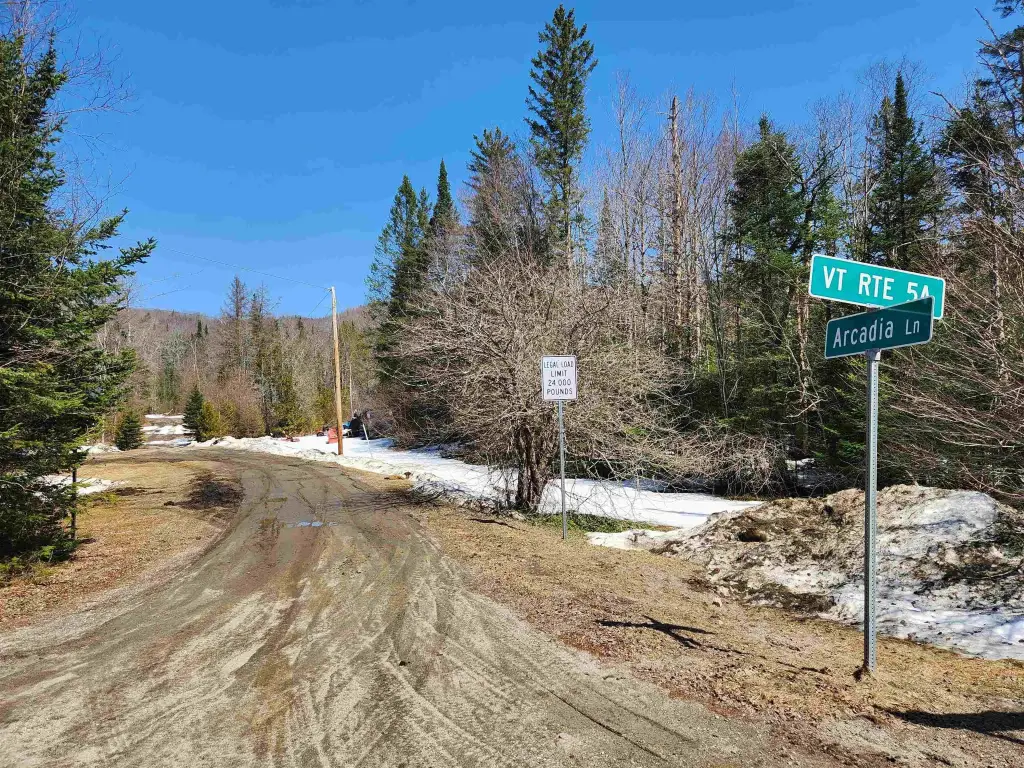
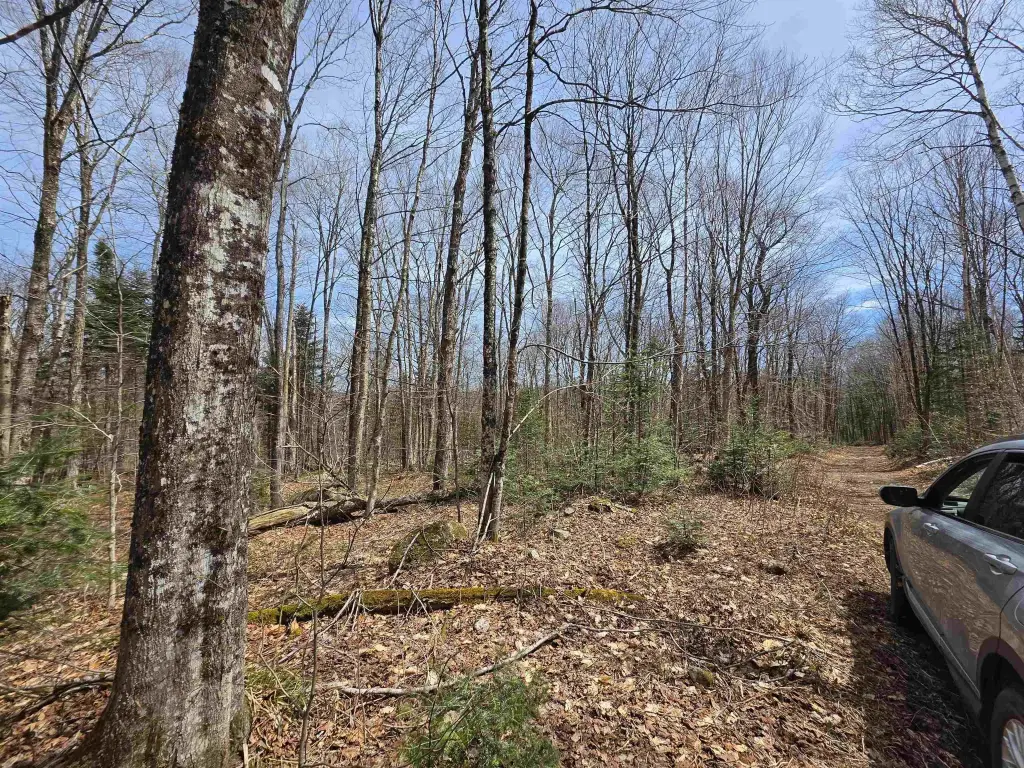
- Arcadia Lane crosses the property line; property lines are not marked (use an offline mapping app to locate them)
- Access involves a seasonal rough mountain trail about 1.8 miles uphill; winter travel may require snowshoes, XC snowmobile, or snowcat
- Elevation around 1980 ft; access before snowfall typically needs a 4WD/AWD vehicle with high ground clearance
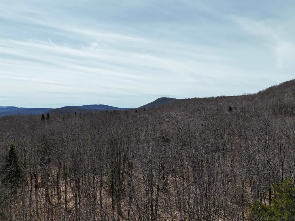
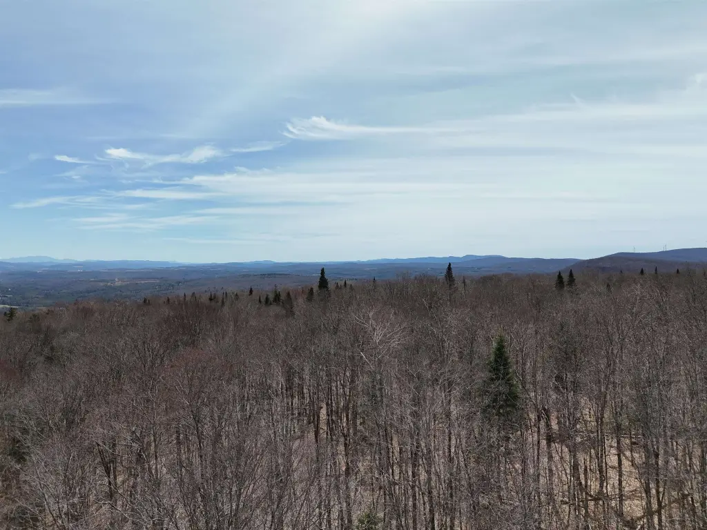
- Adjacent to the 2,486‑acre Willoughby State Forest and Willoughby Lake
Overview
Access is described as 1.8 miles uphill on a seasonal rough mountain trail, at an elevation of about 1,980 feet. In winter, the trail is kept in good shape by a neighborhood owner but typically requires snowshoes, XC snowmobile, or a snowcat. Before snowfall, access is described as requiring a 4WD/AWD rig with high ground clearance.
With nearby trails in Vermont and a setting adjacent to the 2,486-acre Willoughby State Forest and Willoughby Lake, the property is positioned for outdoor use such as hiking, rock climbing, hunting, and water-related recreation. The parcel’s remote access and natural terrain are best suited for buyers looking for an off-the-road property where recreational convenience comes from proximity to trail systems and public lands rather than from close-in development.
Current Use by Public Records
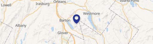
Map
- City
- Westmore
- County
- Orleans
- State
- Vermont
- Longitude
- -72.01017296
- Latitude
- 44.72286736