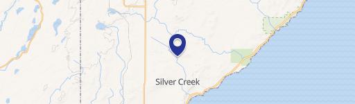
1677 S Airport Rd, Two Harbors, MN 55616
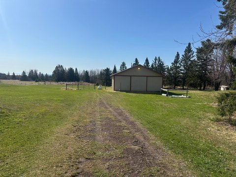
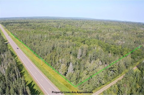
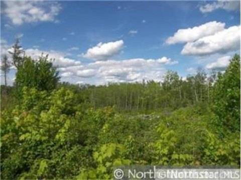
Large Lake County parcel with known gravel deposits and a mix of wooded and open terrain for flexible development planning.
- Added:
- Jun 18, 2026
- Days on Market:
- 18
- Last Refresh:
- Jun 24 at 3:58 am
Property Features for 1677 S Airport Rd
General Information
- Standard status
- Active
- Lot size
- 368.88 Acres
- Property subtype
- LAND

Listing office Acumen Business Solutions (612) 790-4096
Listing date Jun 18, 2026
Source Moodyscre
Displayed information is deemed reliable but is not guaranteed and should be independently verified.
All listing content including descriptions, pricing, images are the copyrighted material of Acumen Business Solutions
HighLights
- Approximately 368.88 acres in Lake County, Minnesota, offering multiple development and land‑banking options.
- About 120 acres include known gravel deposits for potential future aggregate extraction, subject to buyer verification and approvals.
- The remaining acreage features a mix of wooded land and open terrain for flexible use planning.
- Multiple parcel PIDs included: 25 5311 12310, 25 5311 12490, 25 5311 12550, 25 5311 12610, 25 5311 12670.
- Additional PIDs included: 25 5311 29250, 25 5311 29310, 25 5311 29370, 25 5311 29430, 25 5311 30010.
Overview
The parcel includes multiple PID numbers: 25 5311 12310, 25 5311 12490, 25 5311 12550, 25 5311 12610, 25 5311 12670, 25 5311 29250, 25 5311 29310, 25 5311 29370, 25 5311 29430, and 25 5311 30010. The property is listed at 1677 S Airport Rd, Two Harbors, MN 55616.
Because the gravel resource and any intended use are subject to buyer verification, permitting, and governmental approvals, prospective buyers should complete independent due diligence regarding zoning and land use regulations, environmental conditions, utility availability, gravel resources, and all necessary approvals for their specific plan. This size and configuration are positioned for buyers who value development optionality and the opportunity to pursue a resource-related component alongside other land-use concepts, based on what can be permitted for the site.
Current Use by Public Records
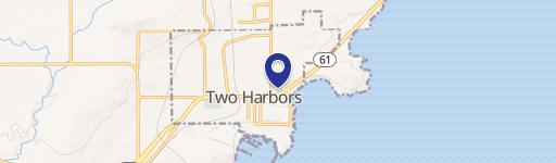
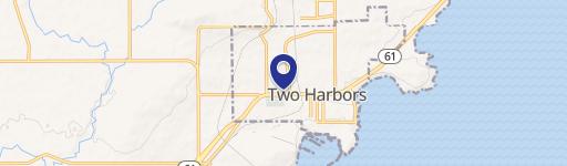
Map
- City
- Two Harbors
- County
- Lake
- State
- Minnesota
- Longitude
- -91.7714661
- Latitude
- 47.0507495