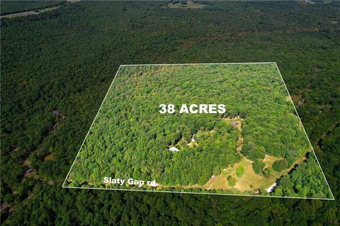
163 Acres Low Gap Road, West Fork, AR 72774

- Added:
- May 16, 2025
- Days on Market:
- 396
- Last Refresh:
- Jun 15 at 8:06 pm
Property Features for 163 Acres Low Gap Road
General Information
- Property type
- Land
- Property subtype
- Other
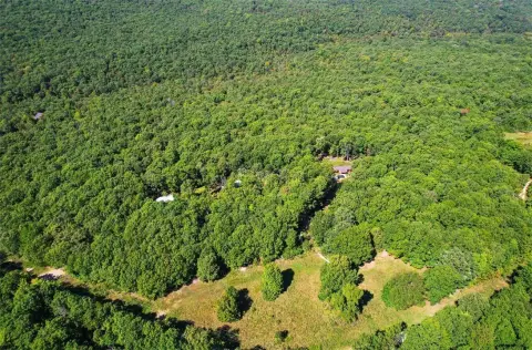
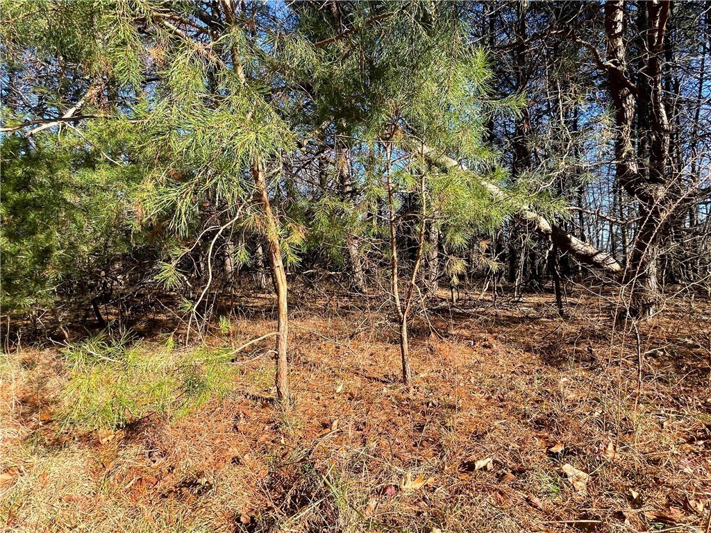
- Vegetation
- Wooded
- Standard status
- Active
- APN
- 001-02557-000
- Lot size
- 163.80 Acres
Taxes and HOA fees
- Tax Description
- see attached legal
- Tax Annual Amount
- 205
Utilities
- Water source
- Public

Listing agent Jonathan Maynard License #SA00077118 (479) 249-5994
Listing office Mossy Oak Properties Field, Farm, and Homes 1200 Fort Street, Barling, AR (479) 480-7000
Listing date May 16, 2025
Copyright © 2026 ArkansasONE MLS. All rights reserved. All information provided by the listing agent/broker is deemed reliable but is not guaranteed and should be independently verified.
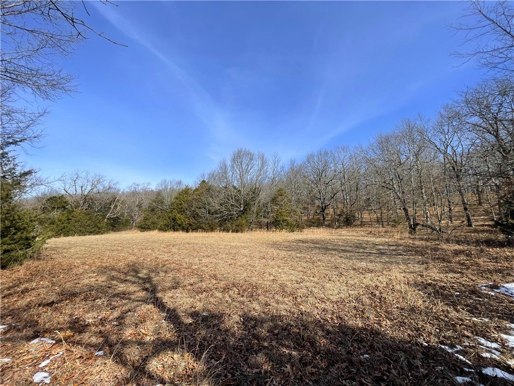
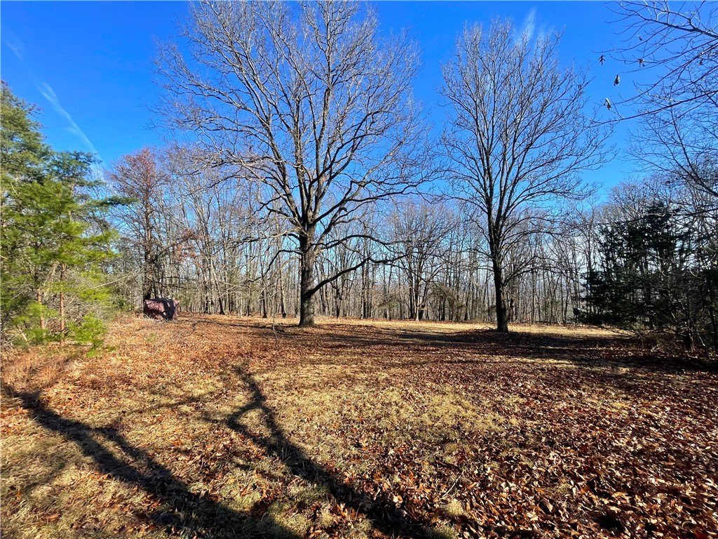
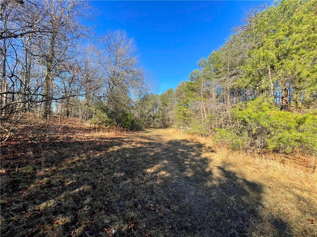
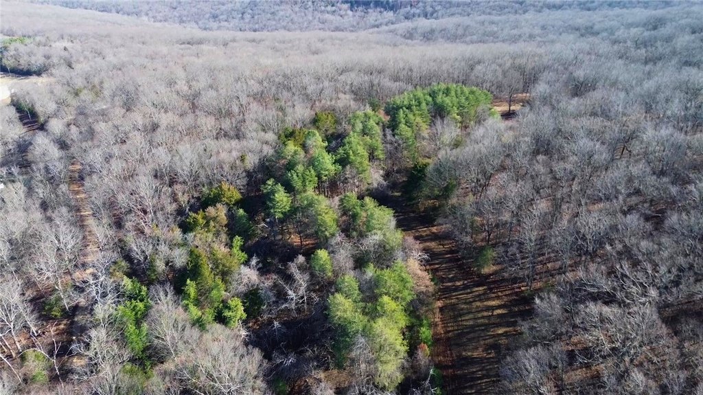
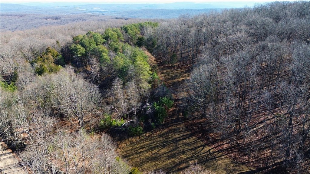
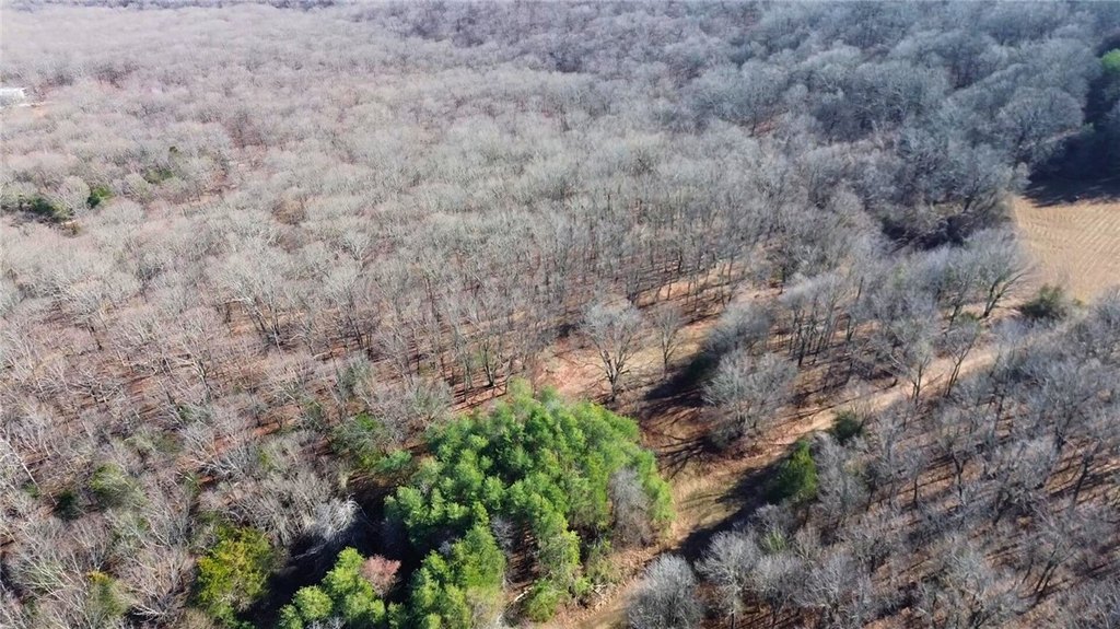
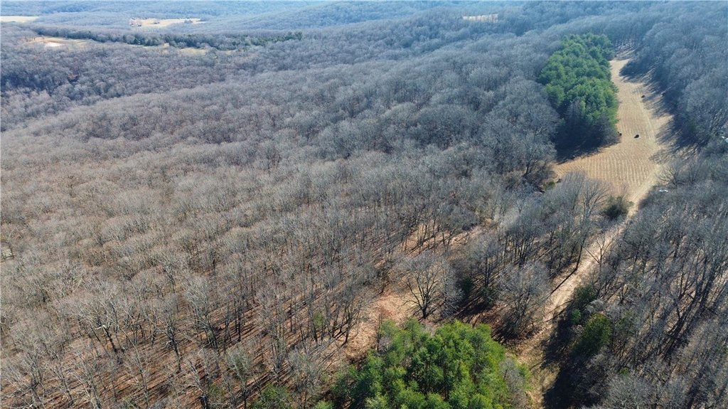
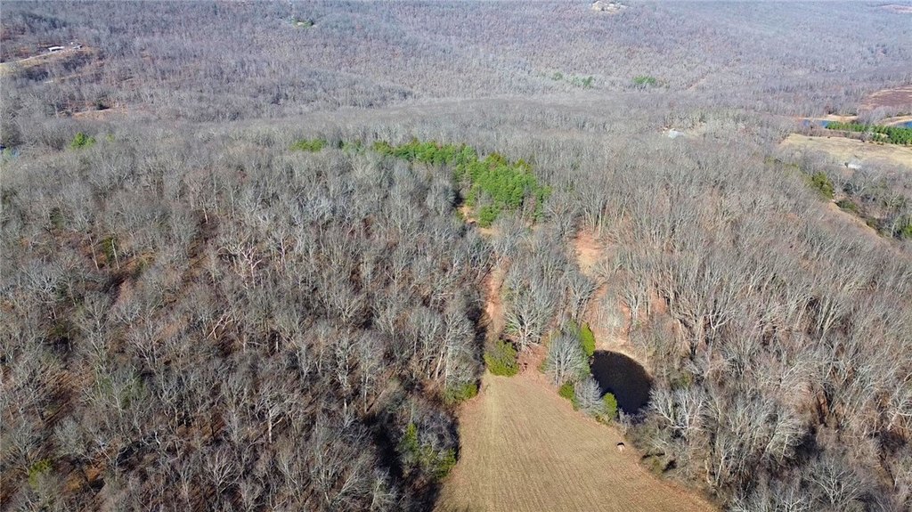
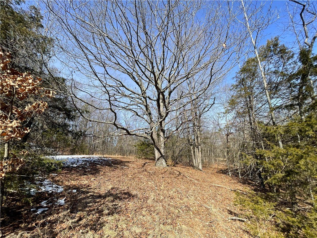
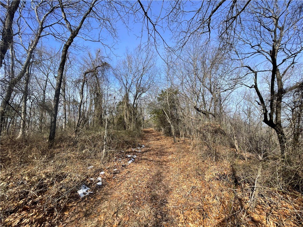
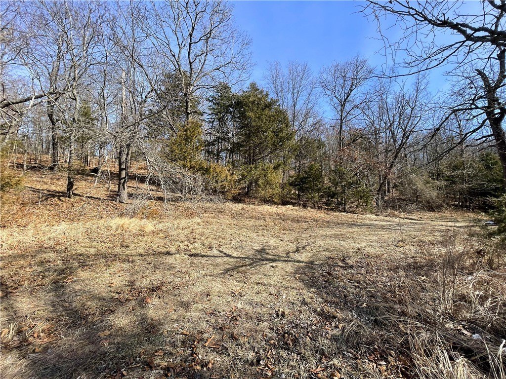
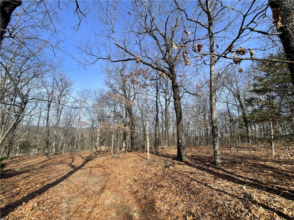
HighLights
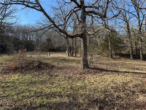
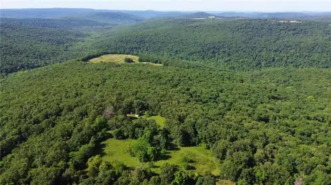
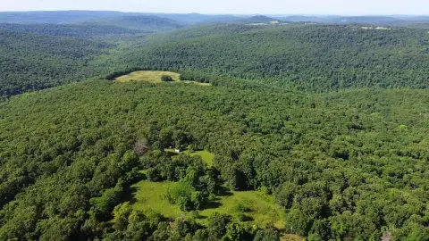
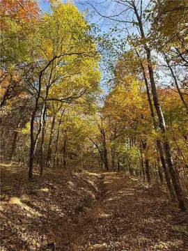
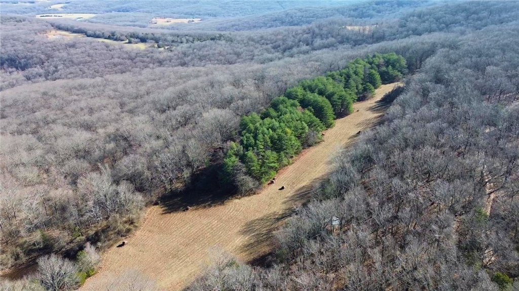
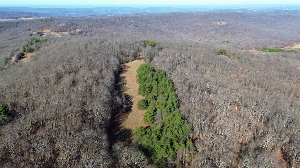
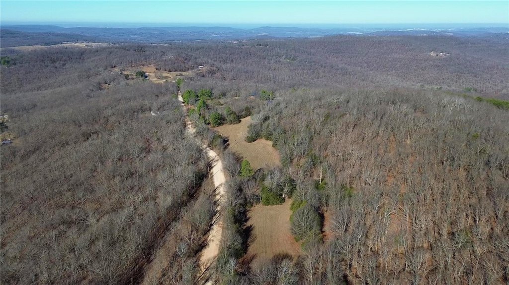
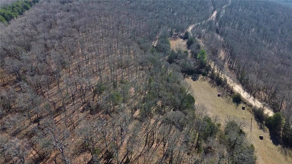
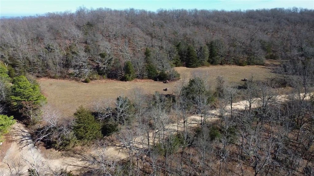
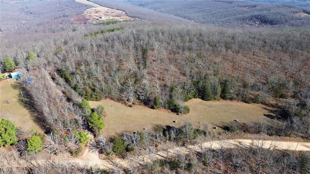
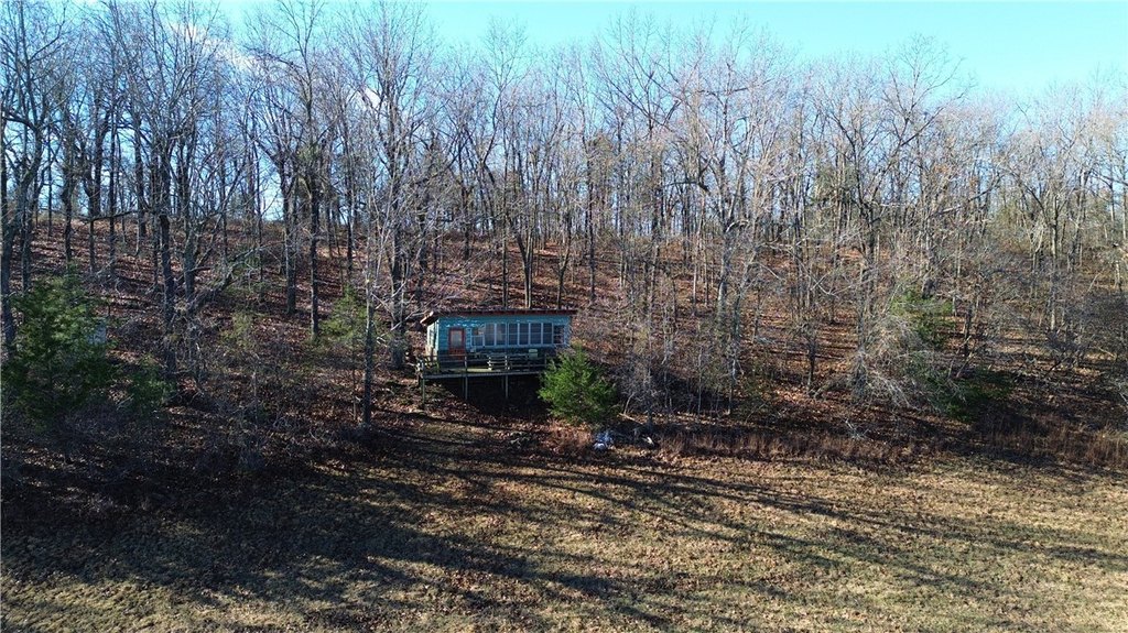
- Large 163‑acre property suitable for building, hunting, or investment
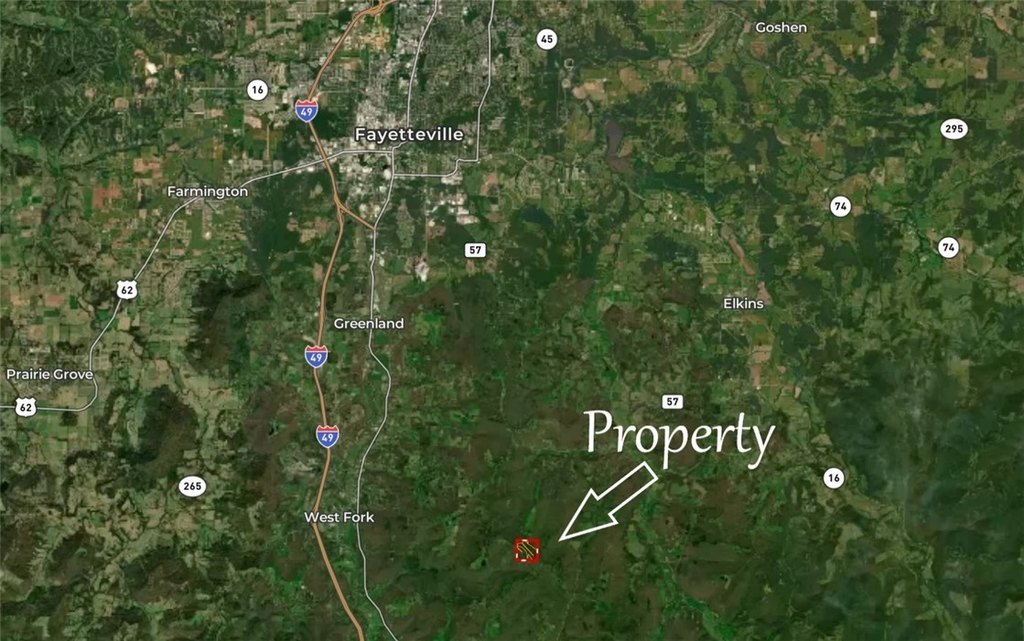
- Conveniently located within 20 minutes of Fayetteville and 10 minutes from HWY 71
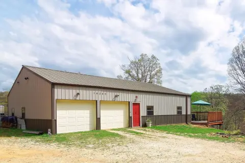
- Utilities available: electric, fiber optic internet, and public water
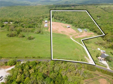
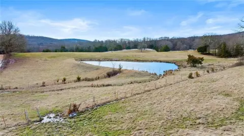
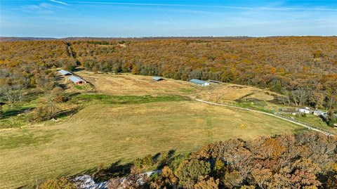
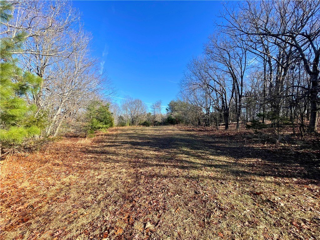
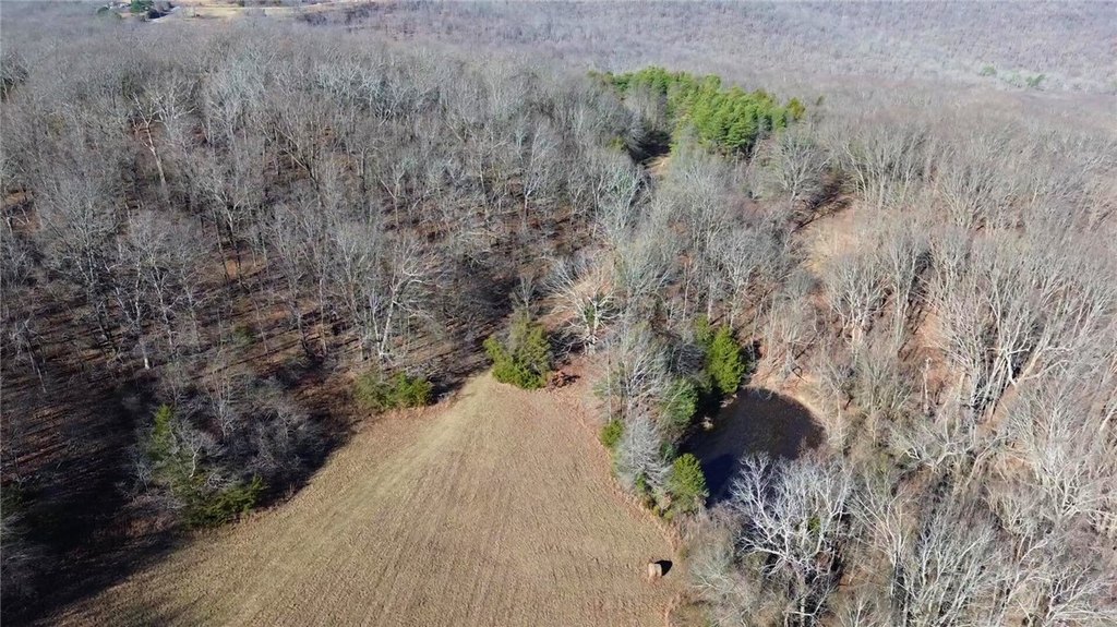
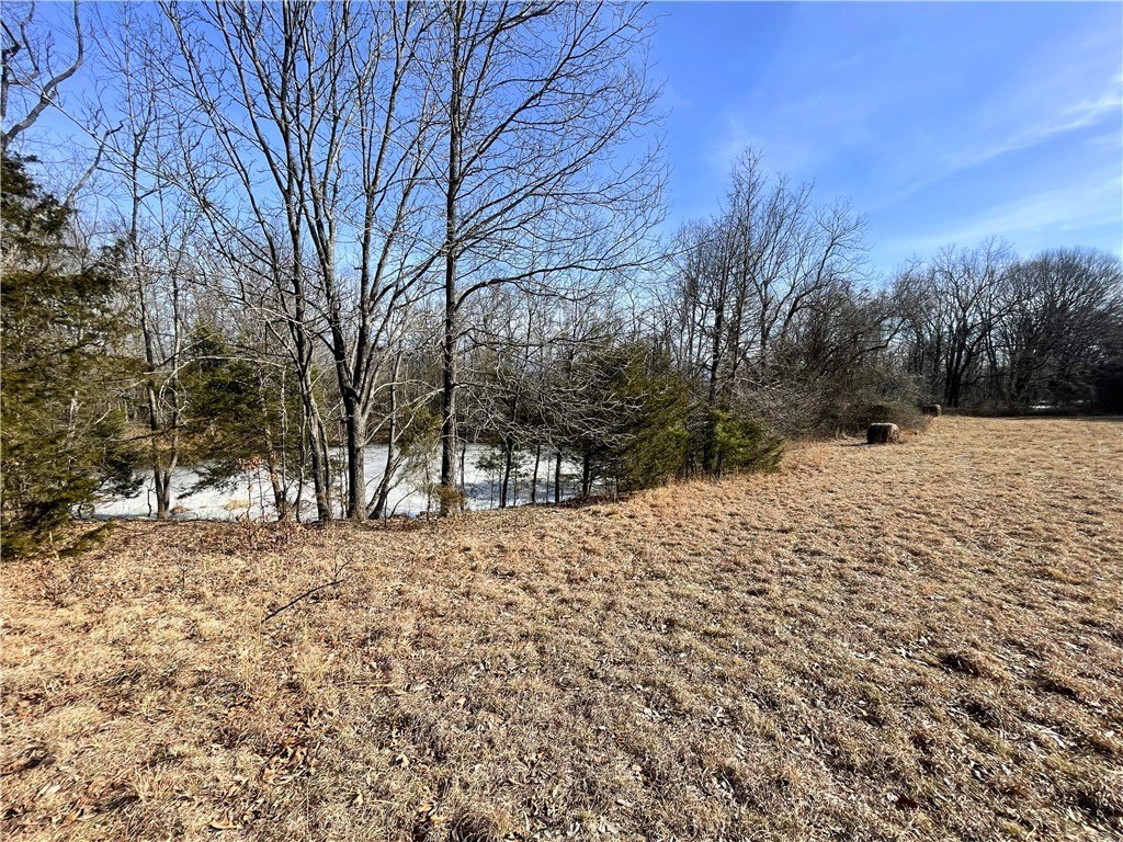
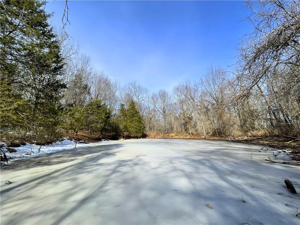
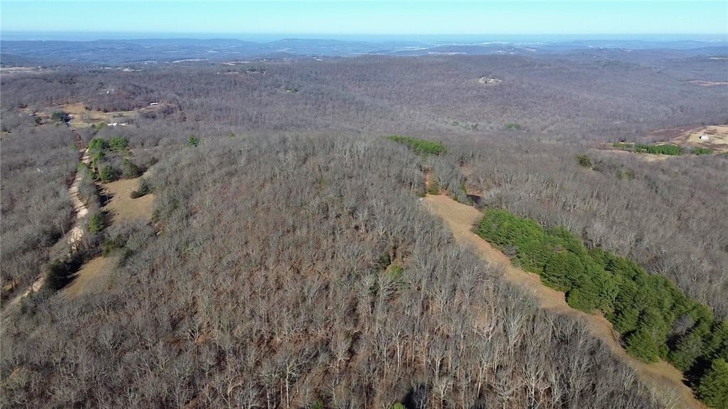
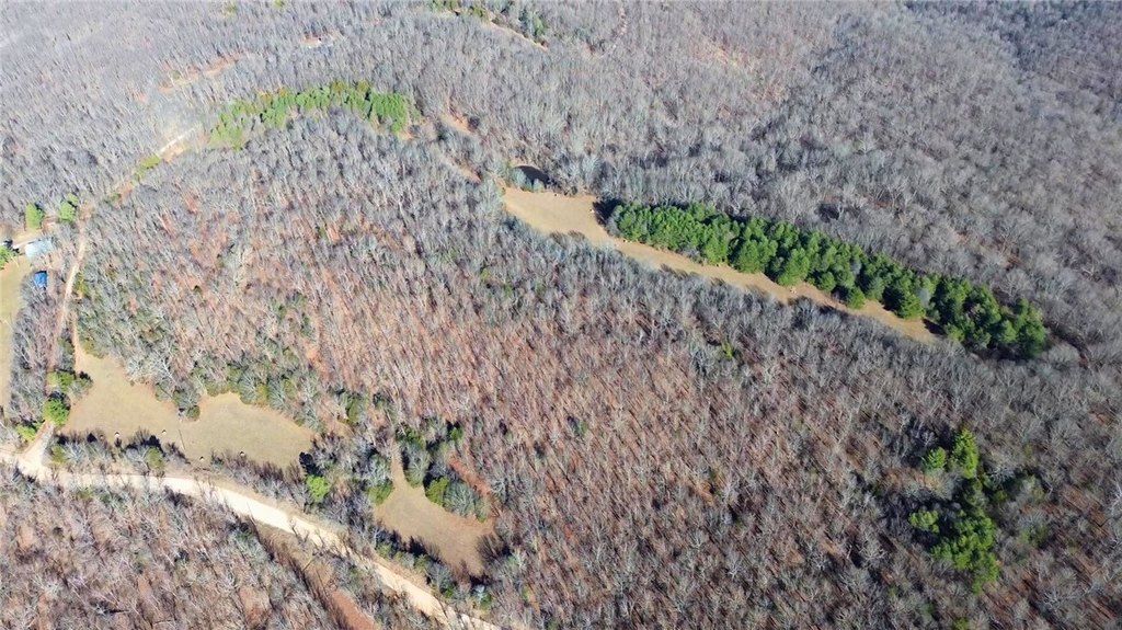
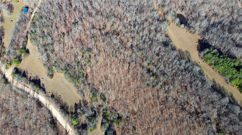
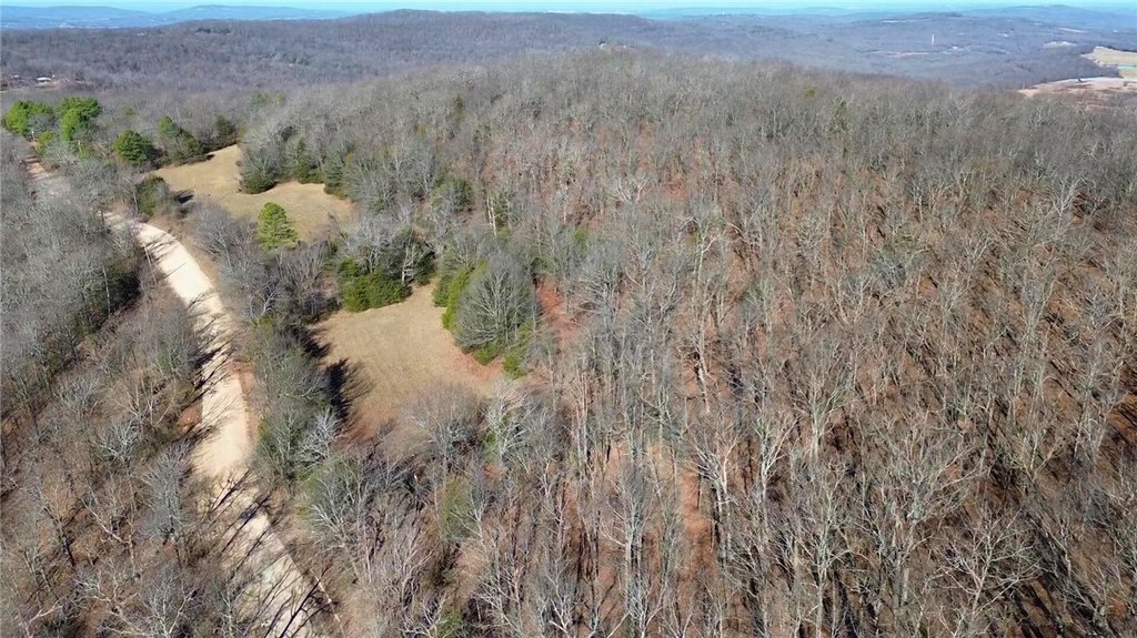
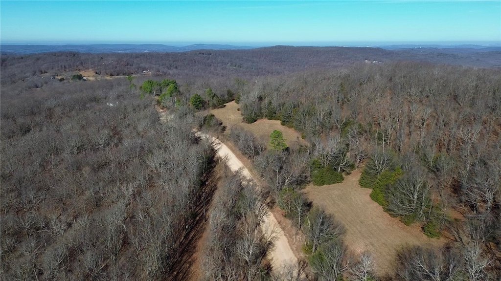
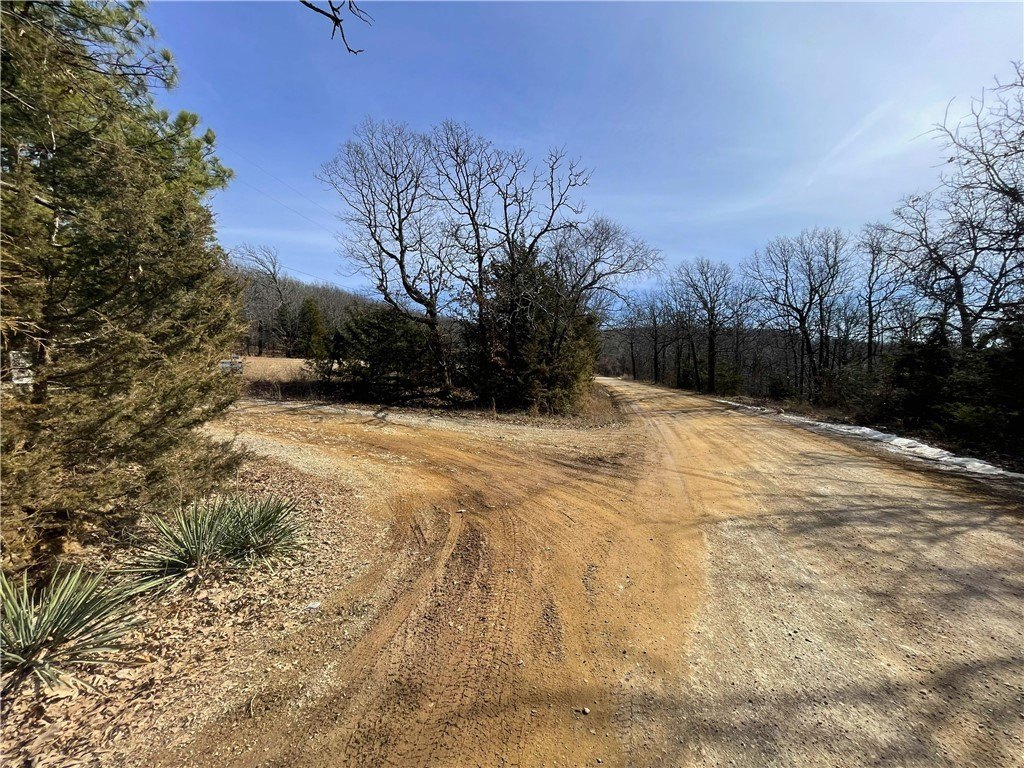
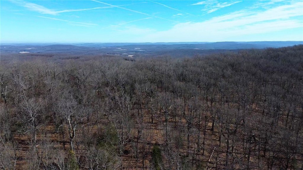
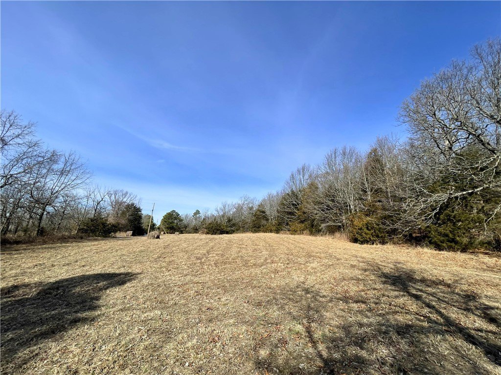
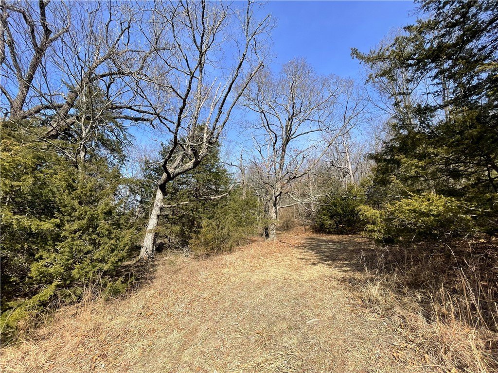
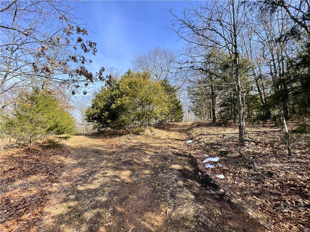
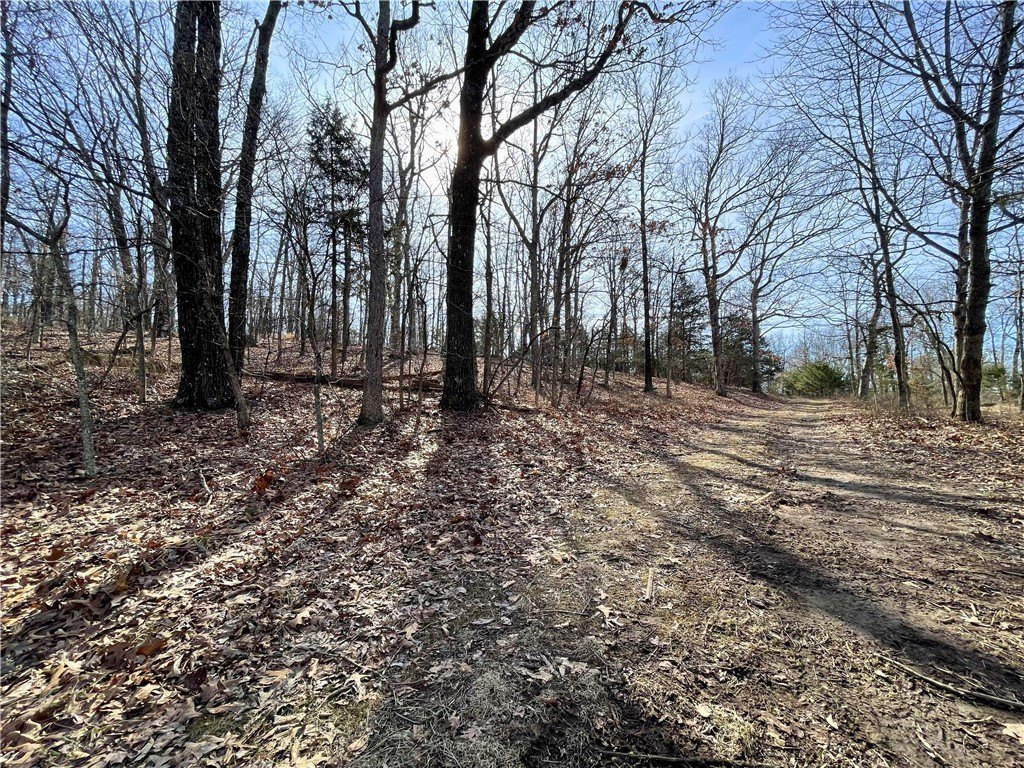
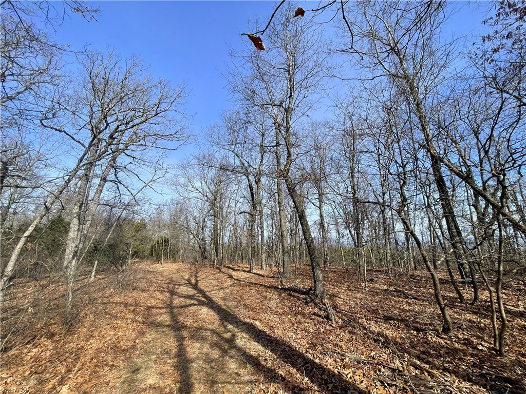
- Mix of rolling mature timber and flat pasture land with multiple potential building sites and views
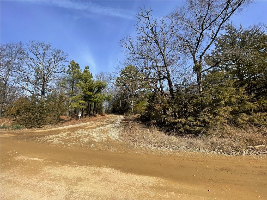
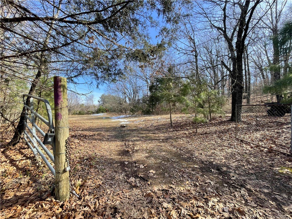
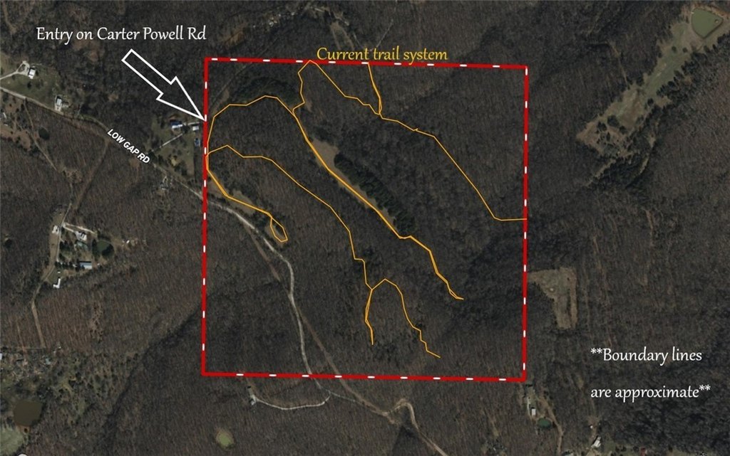
- Private gated access and established trail system for easy property navigation
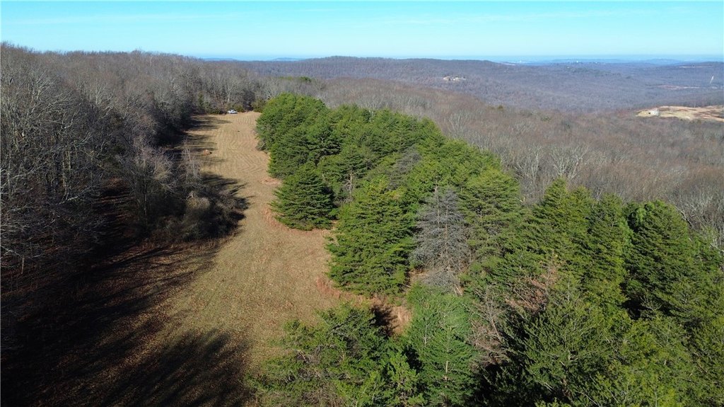
- Home to the 6th highest point in Washington County
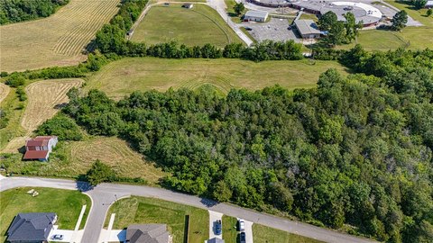
Overview
Located near West Fork, Arkansas in Washington County, the tract is described as being about 10 minutes from Highway 71 and within about 20 minutes of Fayetteville. Paved roads extend until the last quarter mile, with the remainder accessed via the private road. The property is also described as sitting near the sixth highest point in Washington County (2230 feet).
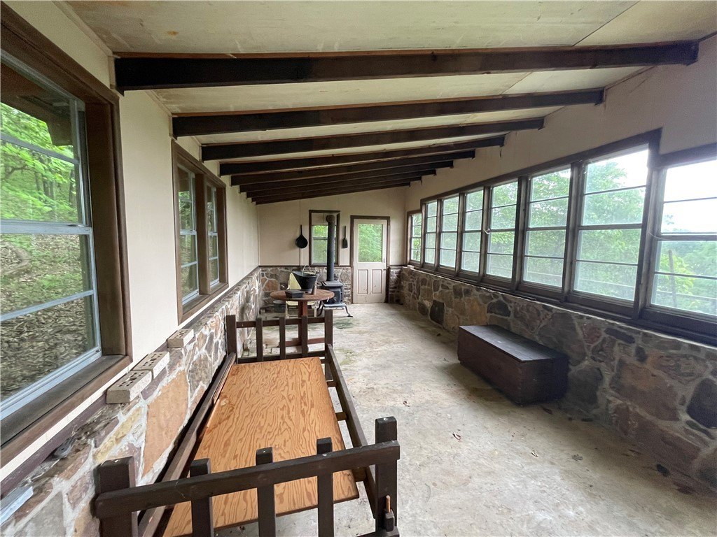
This acreage is suited to buyers looking for a larger rural land parcel where they can plan a home site while retaining on-property recreational value. The combination of timber, trails, and ponds supports active outdoor use, while the presence of utilities and multiple potential building areas can simplify early planning. The property has been in the same family for over 50 years, according to the listing remarks.
Current Use by Public Records
Map
- City
- West Fork
- County
- Washington
- State
- Arkansas
- Longitude
- -94.2755
- Latitude
- 35.8662