15th Rd & Unique Rd, Bronson, KS 66755

- Added:
- Jun 18, 2026
- Days on Market:
- 3
- Last Refresh:
- Jun 20 at 3:06 am
Property Features for 15th Rd & Unique Rd
General Information
- Property type
- Land
- Property subtype
- Other
- Parking features
- Garage
- Standard status
- Active
- Lot size
- 144.00 Acres
Taxes and HOA fees
- Tax Annual Amount
- 0
Building Details
- Architectural style
- Other

Listing agent Cameron Roth (785) 917-0867
Listing office Vaughn-Roth Land Brokers 512 Neosho St., Burlington, KS (620) 888-3040
Listing date Jun 18, 2026
Copyright © 2026 My State MLS. All rights reserved. All information provided by the listing agent/broker is deemed reliable but is not guaranteed and should be independently verified.
HighLights
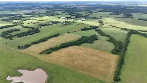
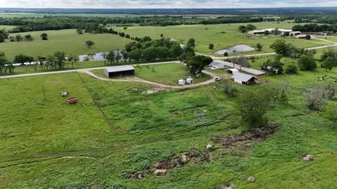
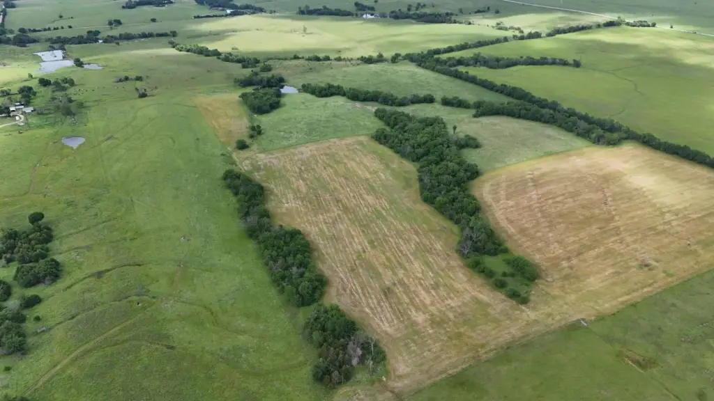
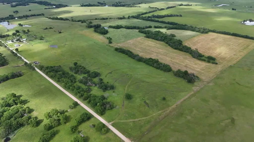
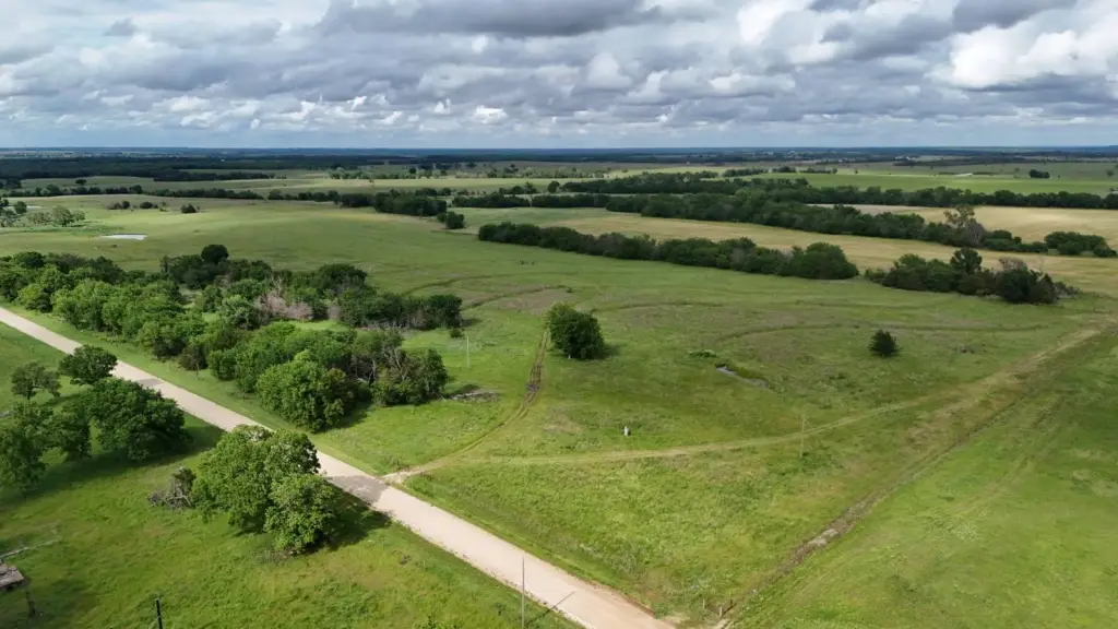
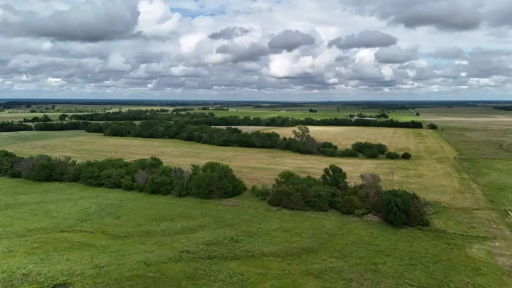
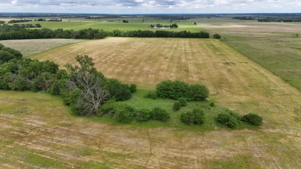
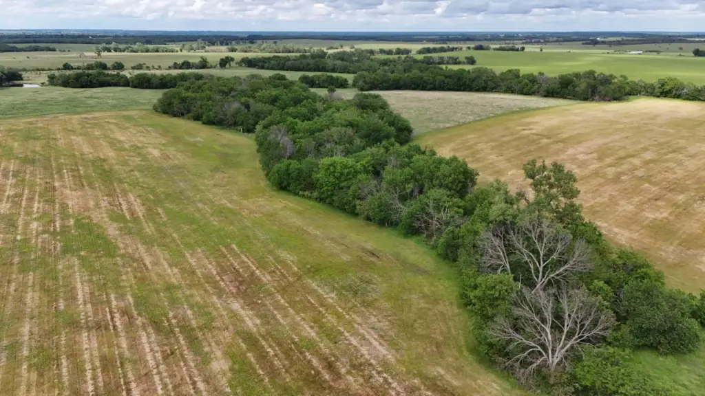
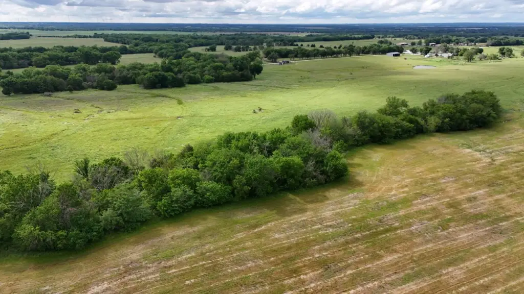
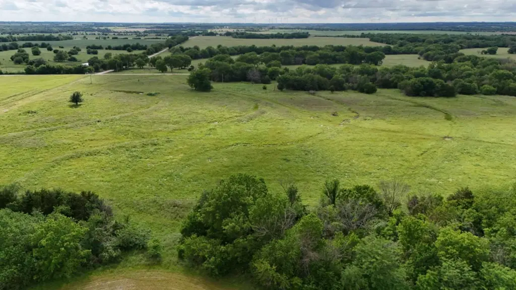
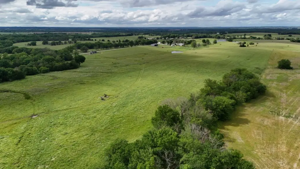
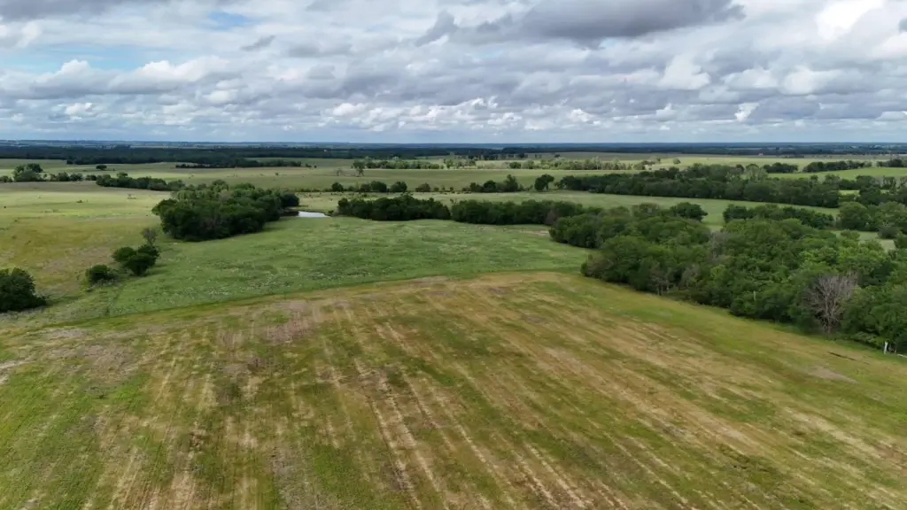
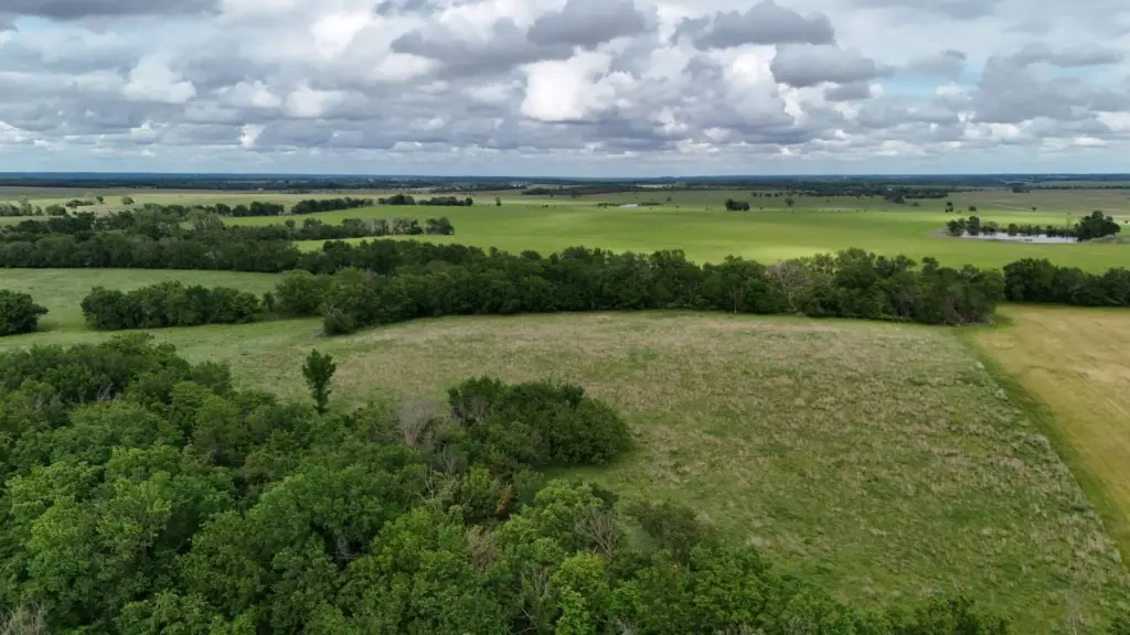
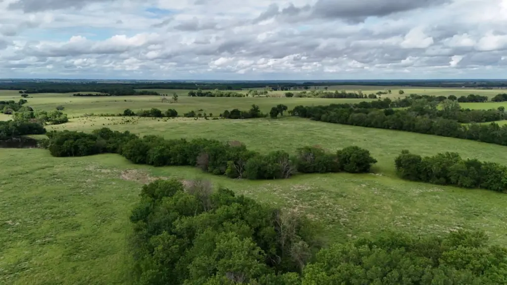
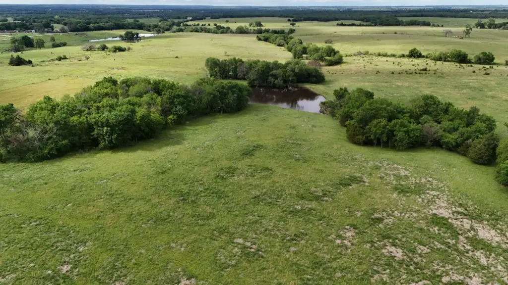
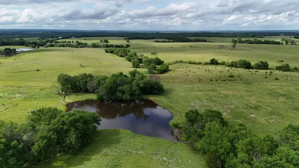
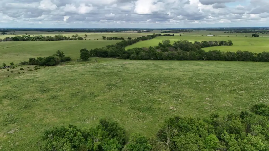
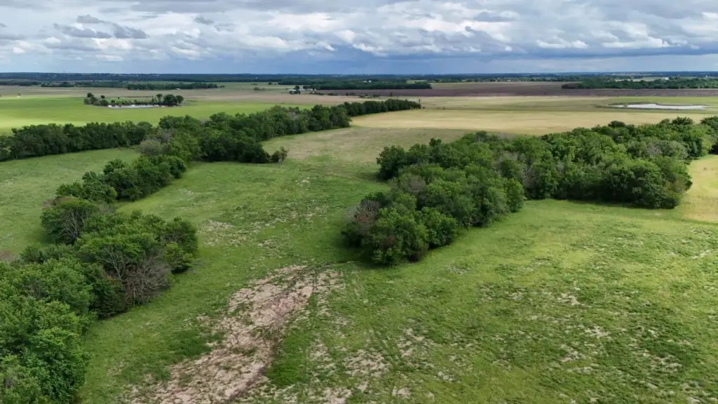
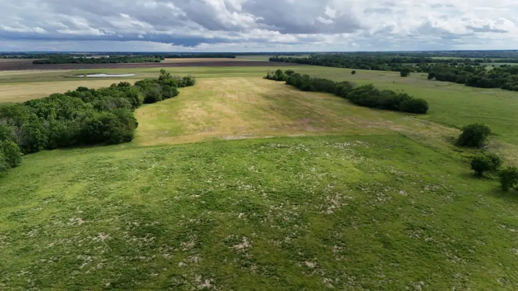
- 144+/- acre tract in the SW Quarter of Section 11, Township 24 South, Range 21 East (Bourbon County, KS)
- Mix of cropland, native and tame grass pasture, hardwood timber, and a pond
- Soil map available in Related Documents, with majority described as Class 2 Bates loam
- Multiple grazing options for livestock producers, with terraces noted in the former‑farmed fescue portion
- Mineral interest transfers to the buyer
- Location near 500th Rd & Unique Rd; boundary lines in photos are approximated—review aerial map from Bourbon County Appraiser
Overview
The tract is located north of Bronson and is described as a surveyed portion to be confirmed. The brief legal description covers the Southwest Quarter of Section 11, Township 24 South, Range 21 East of the 6th P.M. in Bourbon County, Kansas. Driving directions indicate taking Highway 54 west from Bronson to 15th St., then heading north for 4.5 miles until the property begins on the east side.
This land is well suited to buyers looking for an acreage that can support both production and recreation. The offering is described as having populations of quail, deer, and turkey, and it also includes cropland and pasture components that can support livestock and/or grain operations, subject to each buyer’s intended management plan.
Current Use by Public Records
Map
- City
- Bronson
- County
- Bourbon
- State
- Kansas
- Longitude
- -95.078756
- Latitude
- 37.964909