
155 +/- Acres Rock County, Long Pine, NE 69217
- Added:
- Dec 22, 2025
- Days on Market:
- 195
- Last Refresh:
- Jul 5 at 5:06 am
Property Features for 155 +/- Acres Rock County
General Information
- Property type
- Land
- Property subtype
- Other
- Standard status
- Active
- Lot size
- 155.00 Acres
Taxes and HOA fees
- Tax Year
- 2025
- Tax Annual Amount
- 3555

Listing agent Kyle Connot (402) 340-2990
Listing office Stracke Land & Realty PO Box 4, Stuart, NE (402) 340-2990
Listing date Dec 22, 2025
Copyright © 2026 My State MLS. All rights reserved. All information provided by the listing agent/broker is deemed reliable but is not guaranteed and should be independently verified.
HighLights
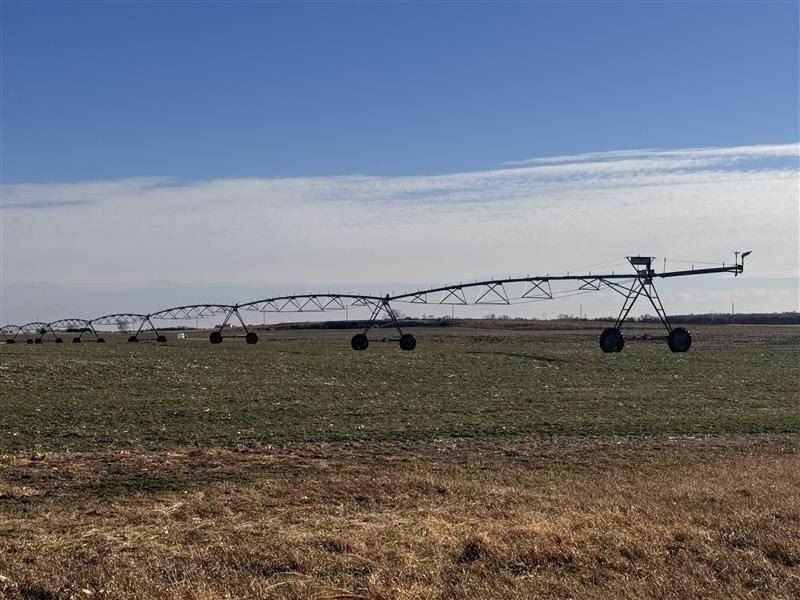
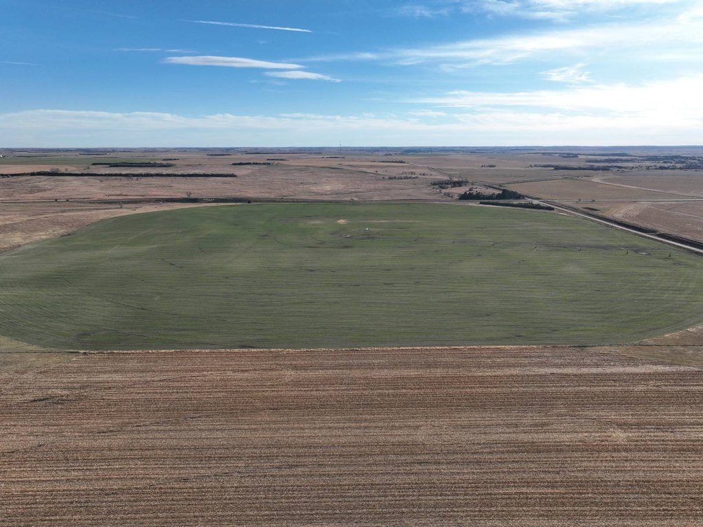
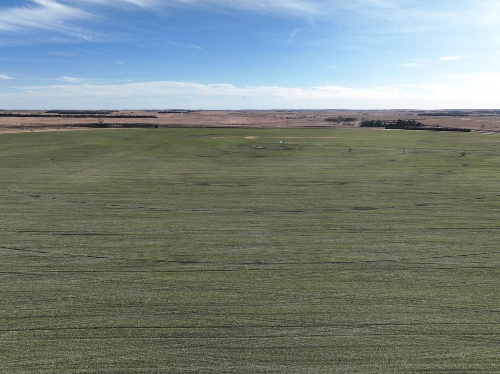
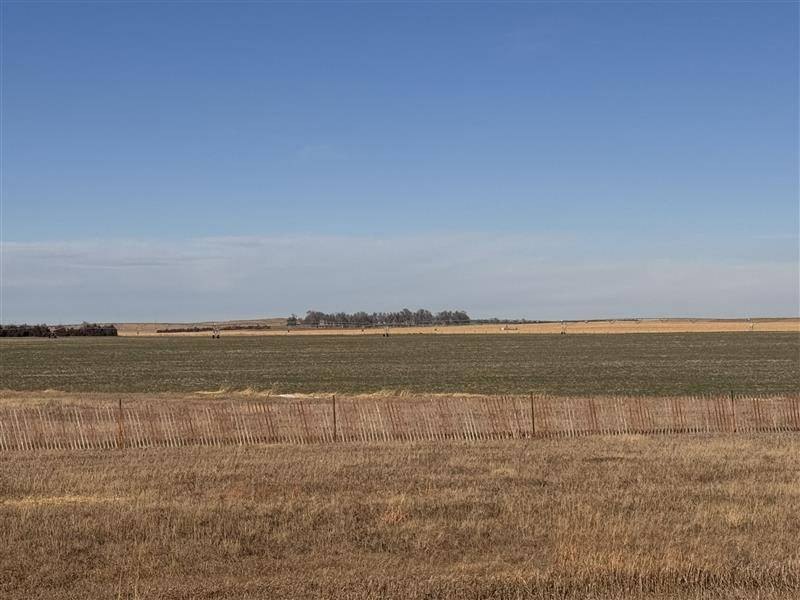
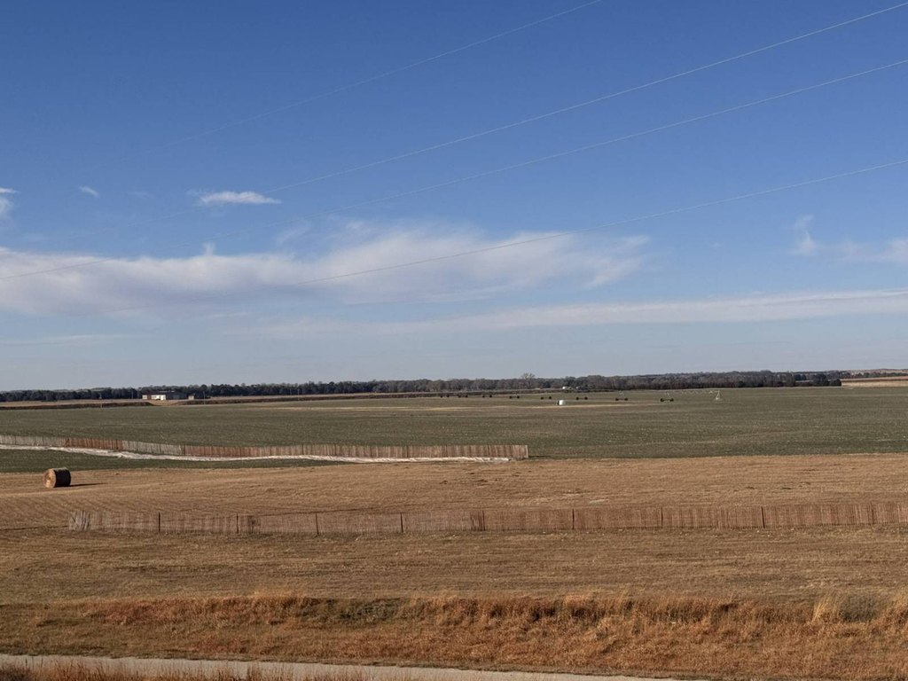
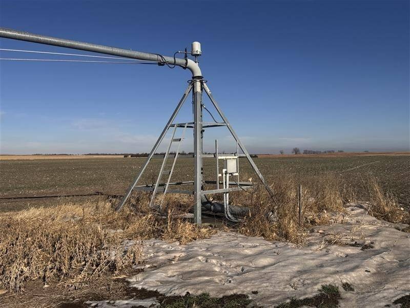
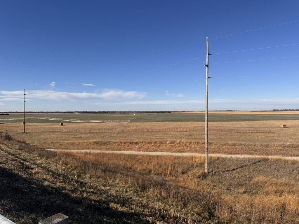
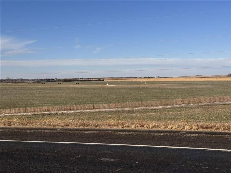
- 155+/- acres of irrigated farmland in Rock County, Nebraska, with 130+/- certified irrigated acres
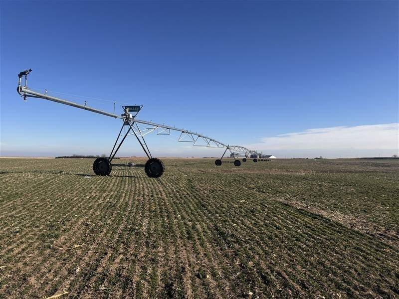
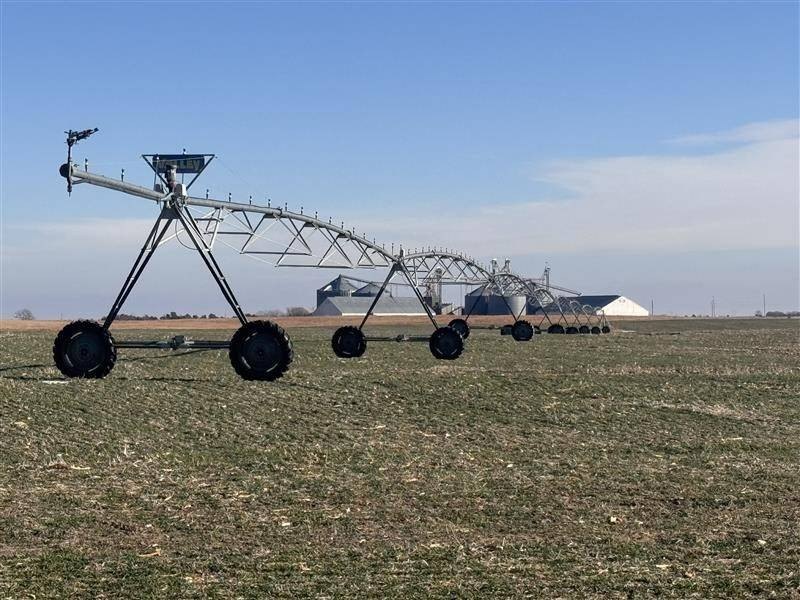
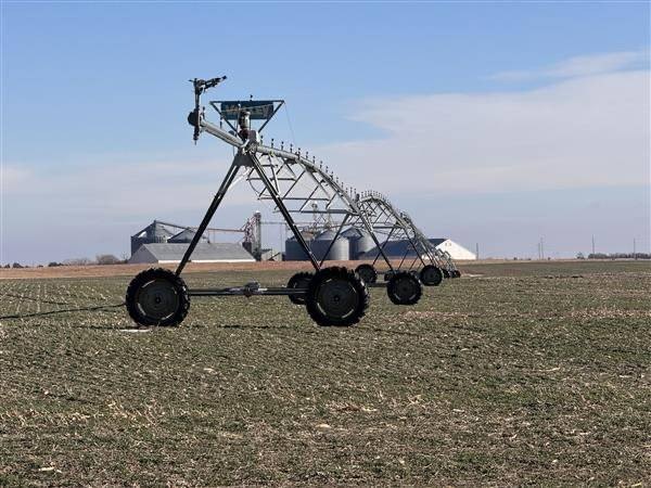
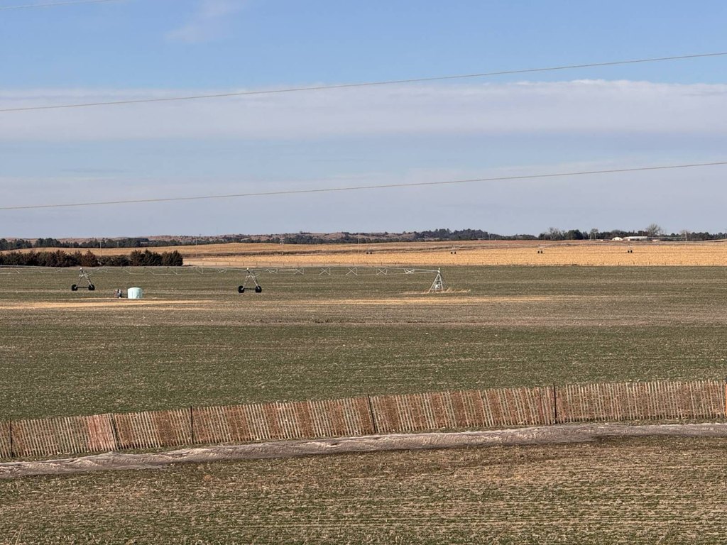
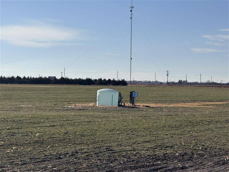
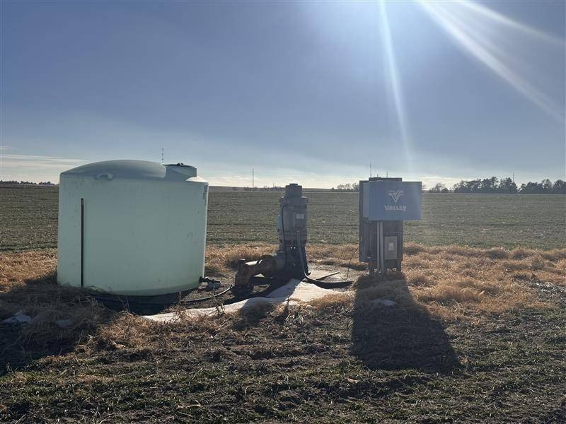
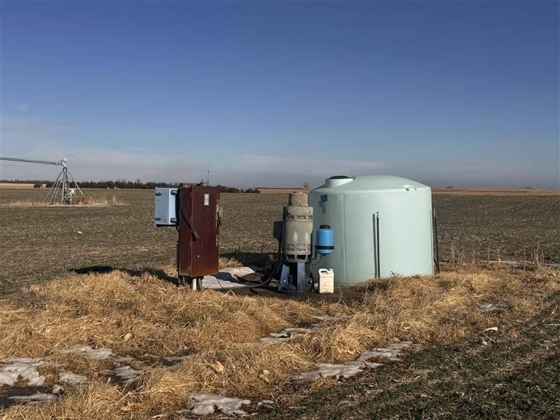
- Water supply includes a 1,000 GPM well (Rock Middle Niobrara Water District) with 480' well depth
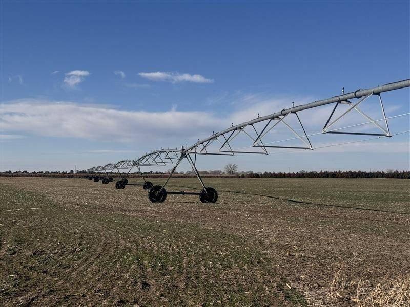
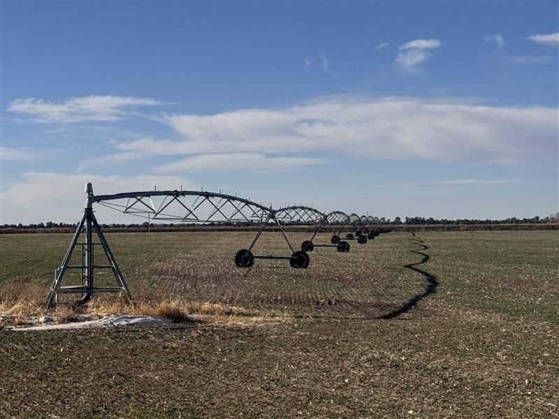
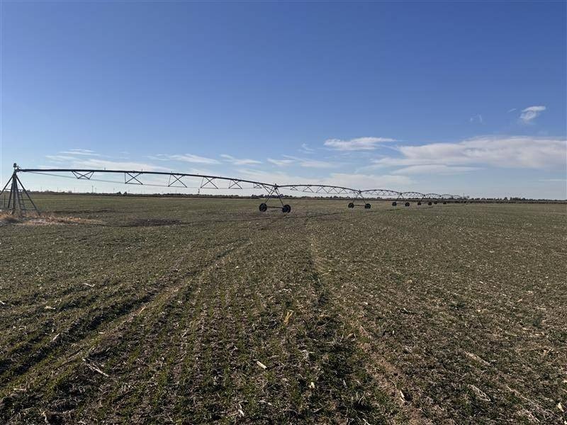
- 1997 Valley 8000 Series 8‑tower irrigation system
- Crop base includes Corn (100.5 base / 190 PLC yield) and Soybeans (32.2 base / 47 PLC yield)
- FSA cropland acres: 145.71+/-; remaining acres include hay/grassland
- Access off Highway 20, about 7 miles west of Bassett
Overview
Access is off Highway 20, approximately 7 miles west of Bassett. The legal description is SW 1/4 21-30-20. Cropland acres are reported at 145.71+/- acres and FSA cropland acres at 145.71+/- acres, with corn and soybeans included in the crop information. Corn yield is shown as 100.5 base / 190 PLC yield, and soybeans are shown as 32.2 base / 47 PLC yield. NCCPI is listed at 36.34, with soils including O'Neill Fine Sandy Loam, O'Neill Sandy Loam, and Valentine Loamy Fine Sandy.
For producers or land investors seeking productive Nebraska farm ground, this tract combines a defined irrigated footprint with an installed irrigation system and well capacity. The mix of certified irrigated acreage plus hay/grassland can support a straightforward rotation approach while maintaining dependable irrigation infrastructure.
Current Use by Public Records
Map
- City
- Long Pine
- County
- Brown
- State
- Nebraska
- Longitude
- -99.67134
- Latitude
- 42.553492


