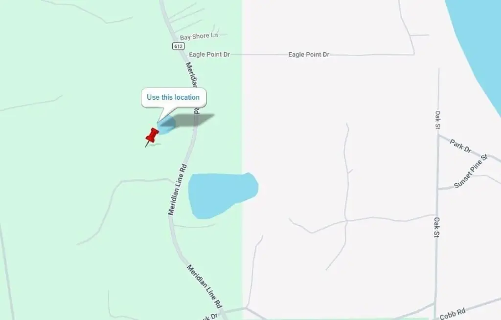
14790 Aloha Street, Lewiston, MI 49756
- Added:
- May 1, 2026
- Days on Market:
- 58
- Last Refresh:
- Jun 27 at 8:06 pm
Property Features for 14790 Aloha Street
General Information
- Property type
- Land
- Property subtype
- Other
- Standard status
- Active
- APN
- 020-036-100-005-05 & 020-036-100-005-06
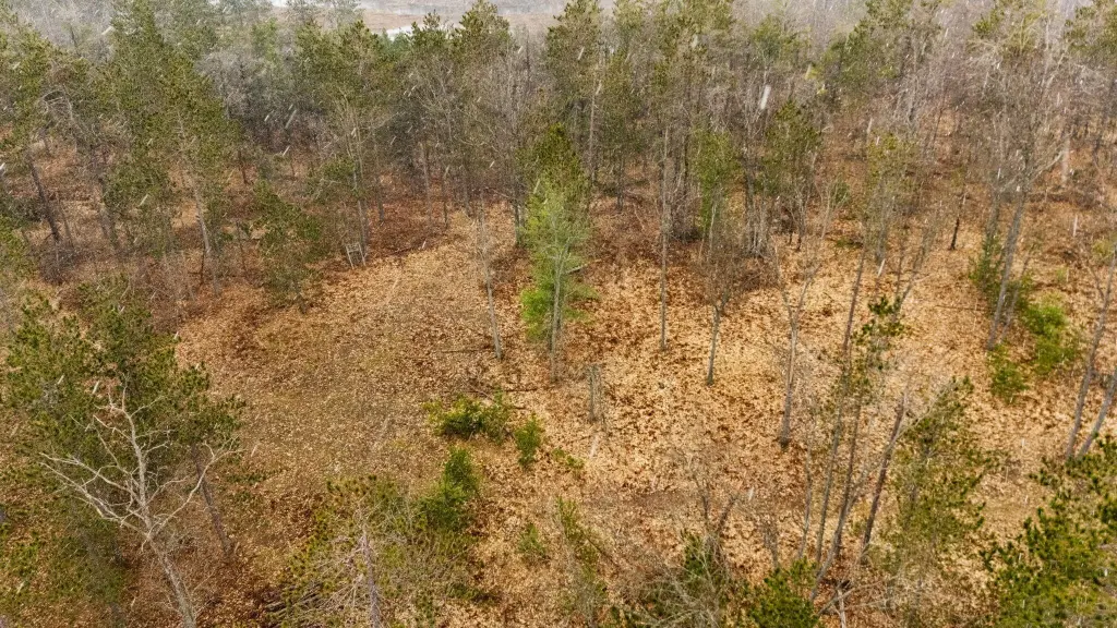
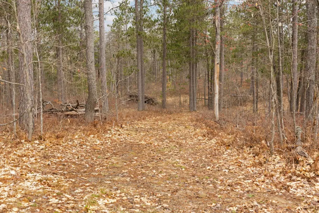
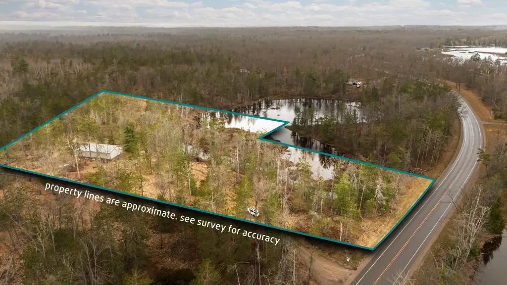
- Lot size
- 9.47 Acres
Taxes and HOA fees
- Tax Year
- 2024
- Tax Description
- 020-036-100-005-05 & 020-036-100-005-06 COMM AT NE CORN OF SEC 36 T29N R1W; TH N89 56'41''W 1304.25 FT ALG N SEC LN TO E 1/8 CORN; TH S00 05'16''E 671.95 FT ALG N-S 1/8 LN TO POB; TH CONT S00 05'16''E 635.75 FT ....
- Tax Annual Amount
- 518
Utilities
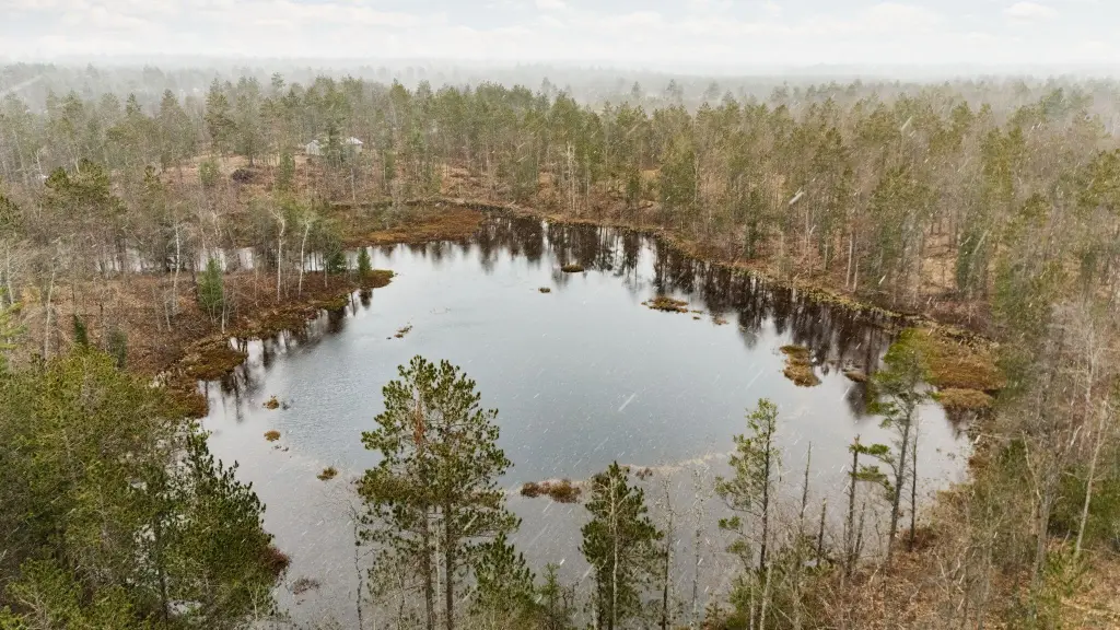
- Water front
- 1
Listing agent Christopher L Paffi License #6506047392 (989) 350-2229
Listing office smith realty GROUP 1349 S Otsego Ave., Gaylord, MI (989) 732-2477
Listing date May 1, 2026
Copyright © 2026 Water Wonderland Board of Realtors®. All rights reserved. All information provided by the listing agent/broker is deemed reliable but is not guaranteed and should be independently verified.
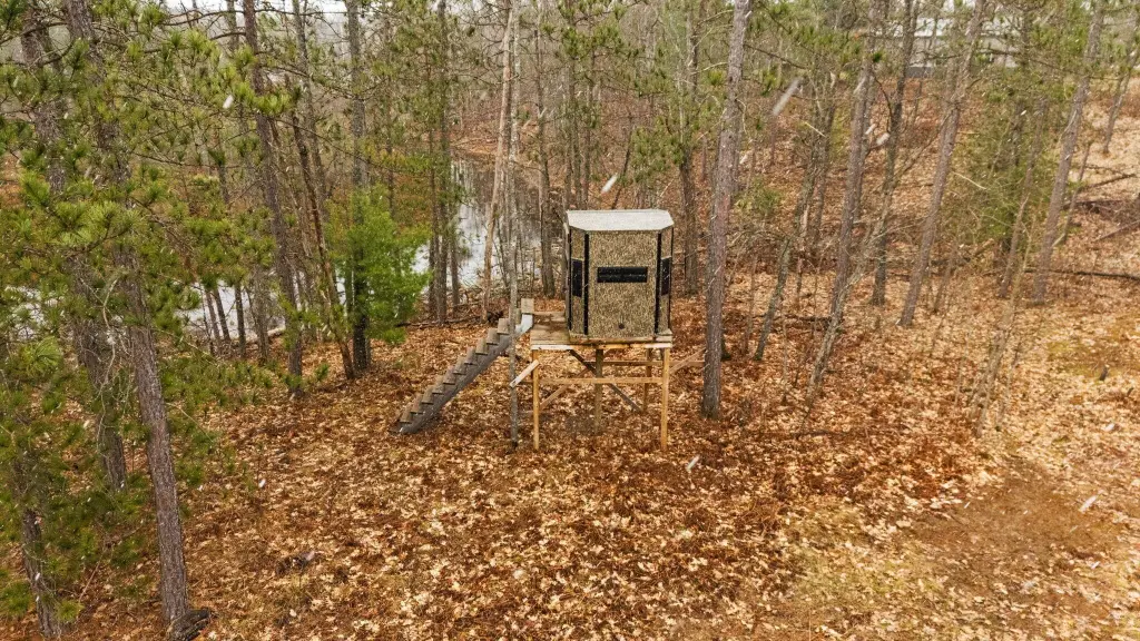
HighLights
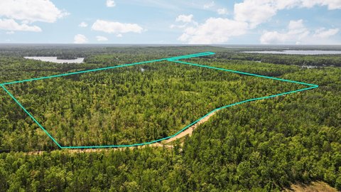
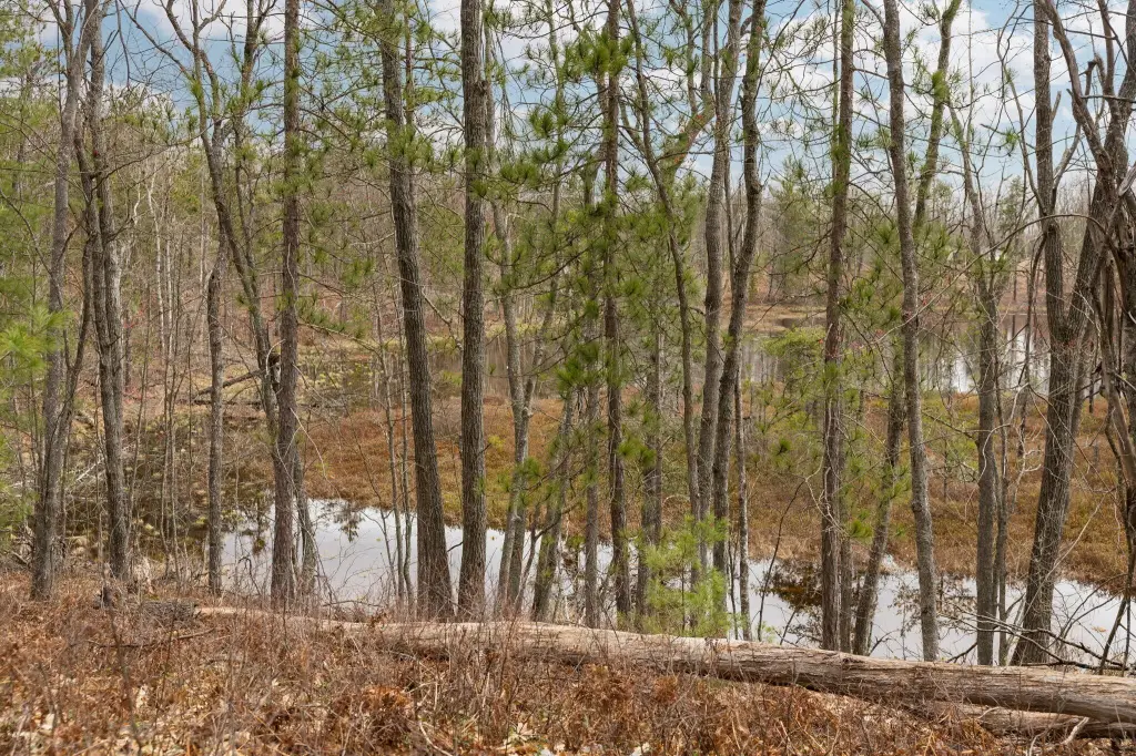
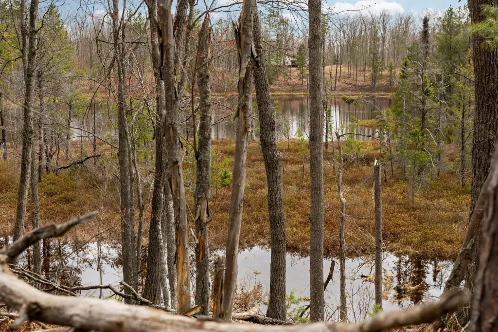
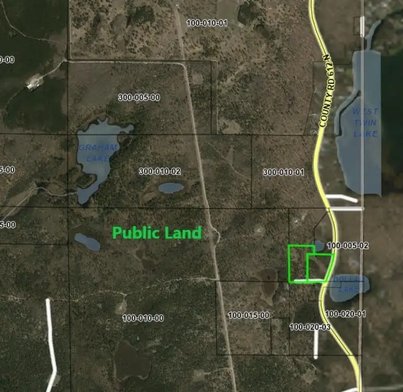
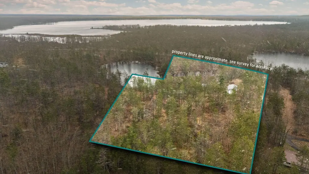
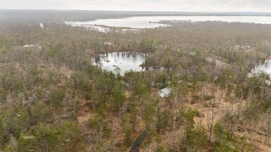
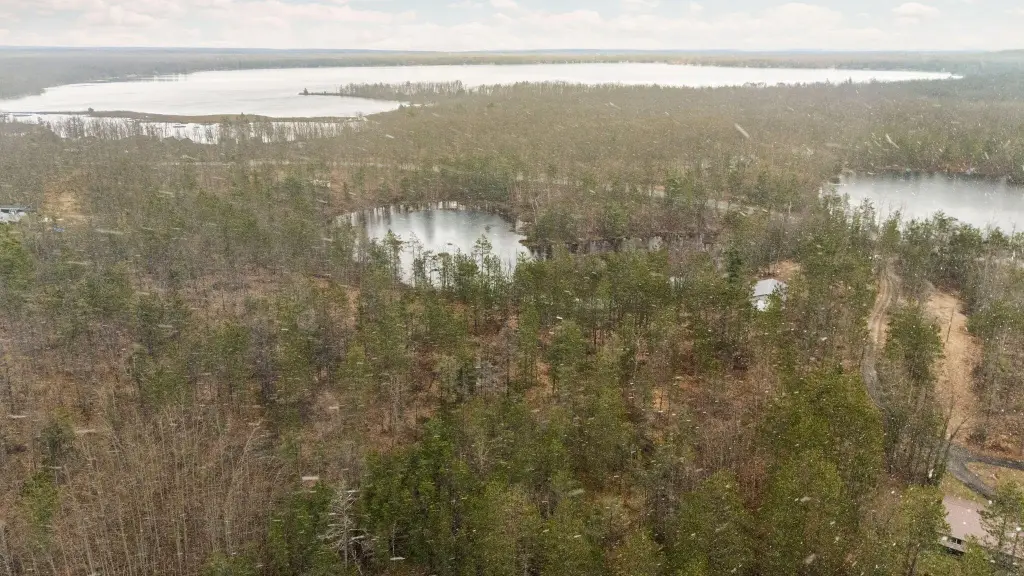
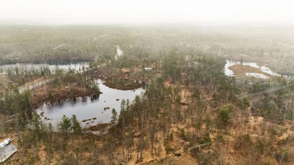
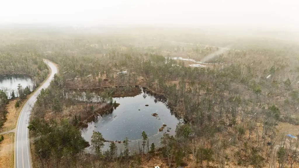
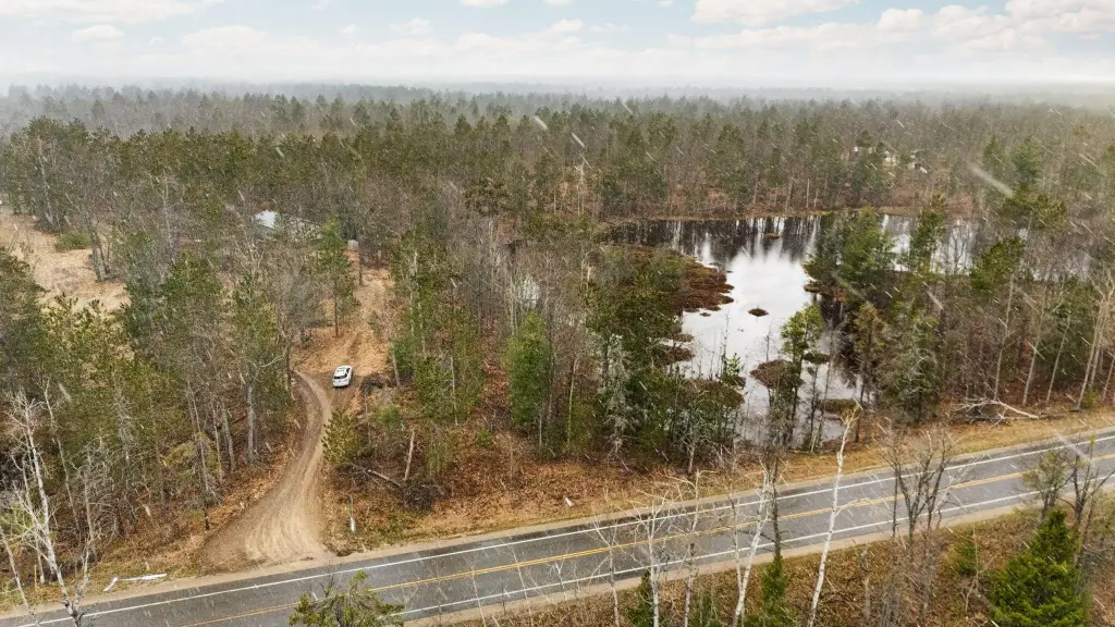
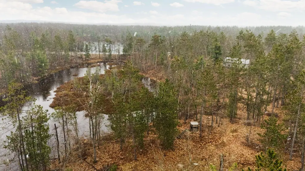
- Borders thousands of acres of public lands.
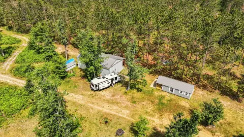
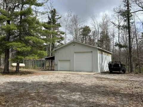
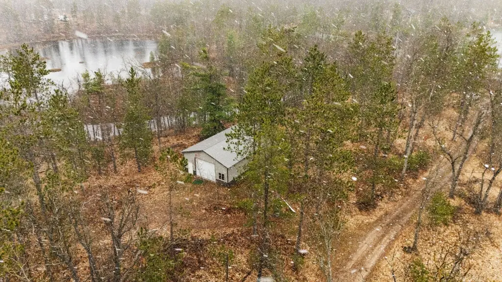
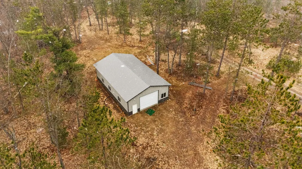
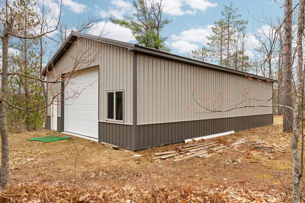
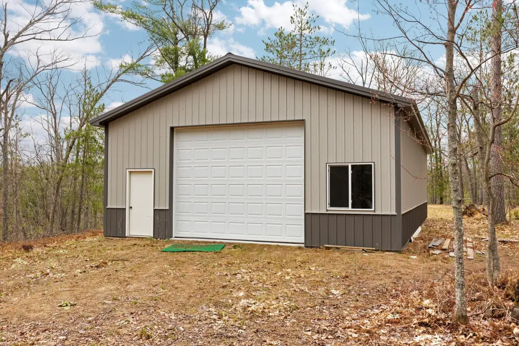
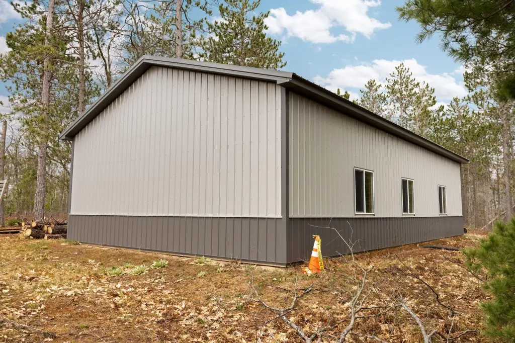
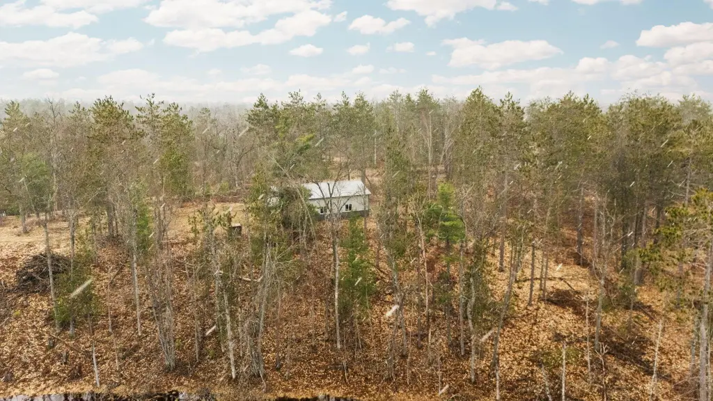
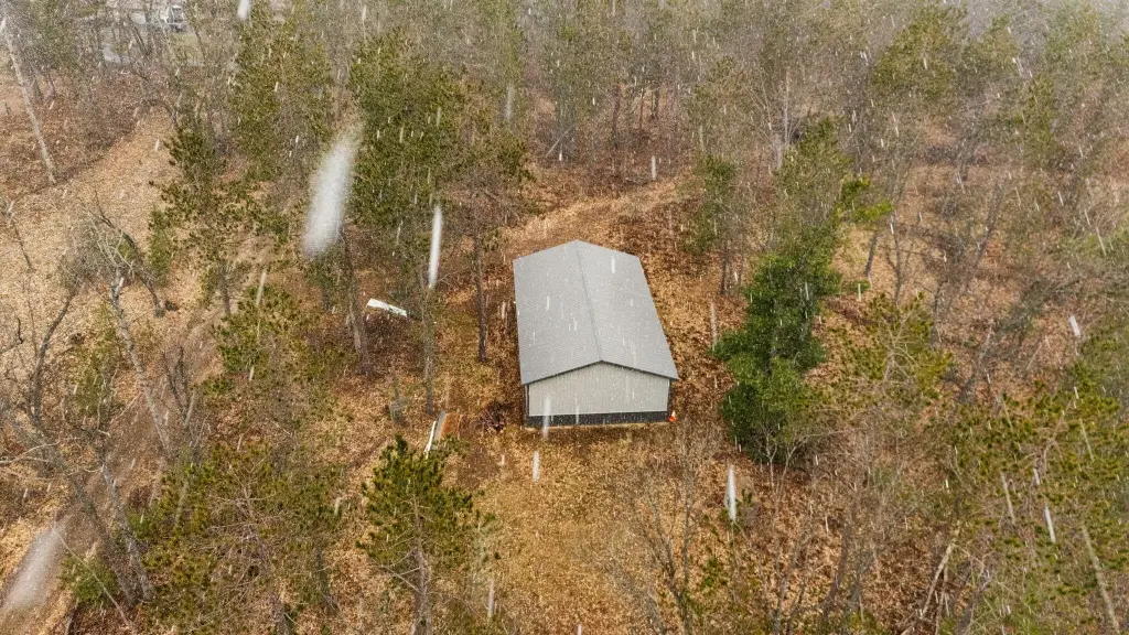
- 30x50 pole barn for storage.
- Close to ATV/snowmobile trails.
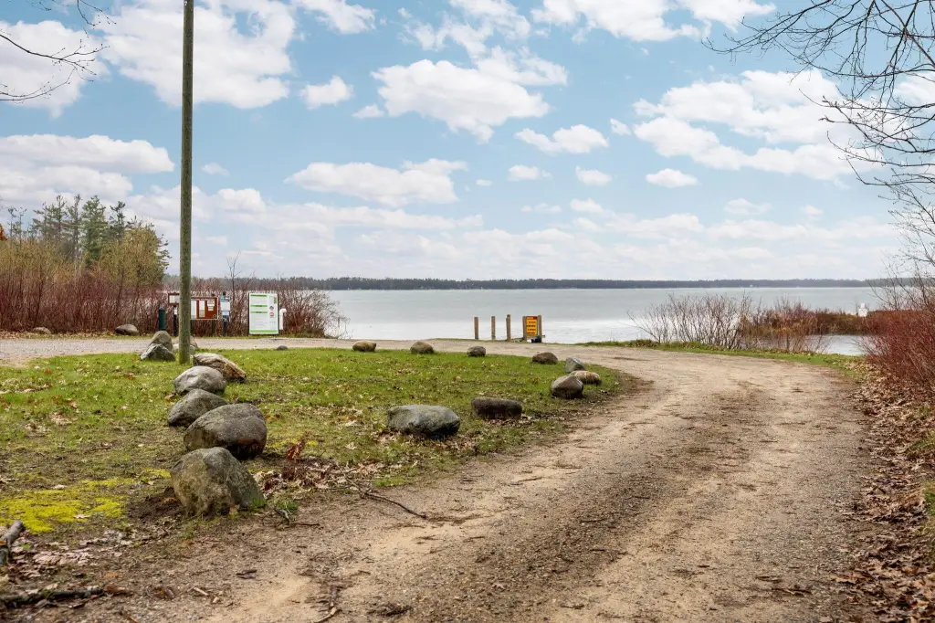
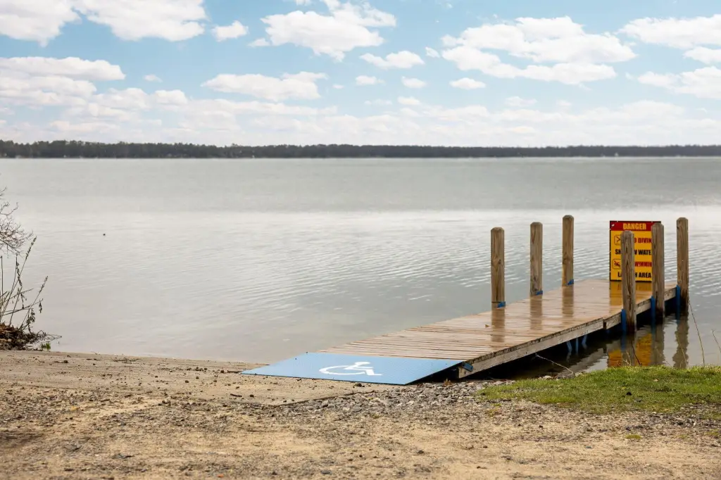
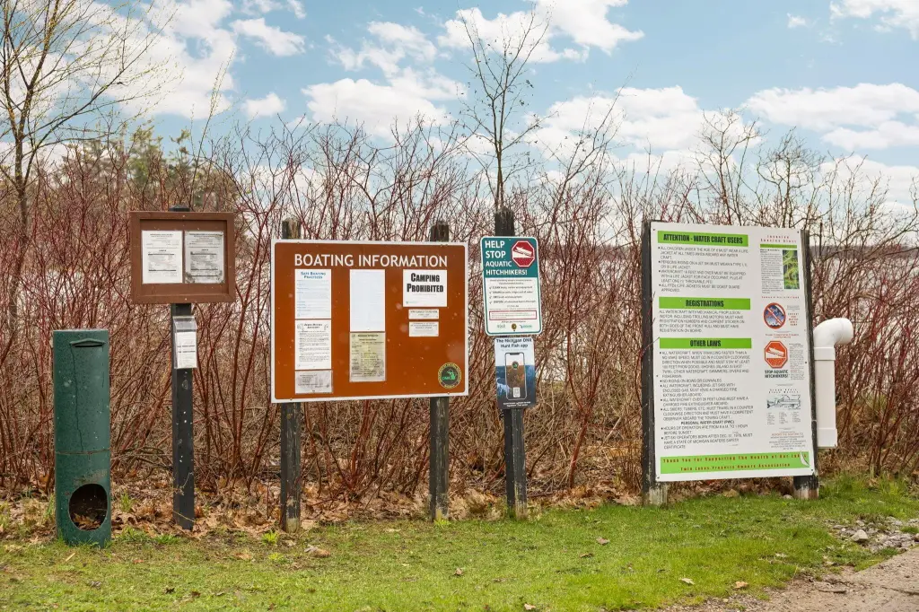
- Near West Twin Lake public launch, Garland Resort, and AuSable River fishing.
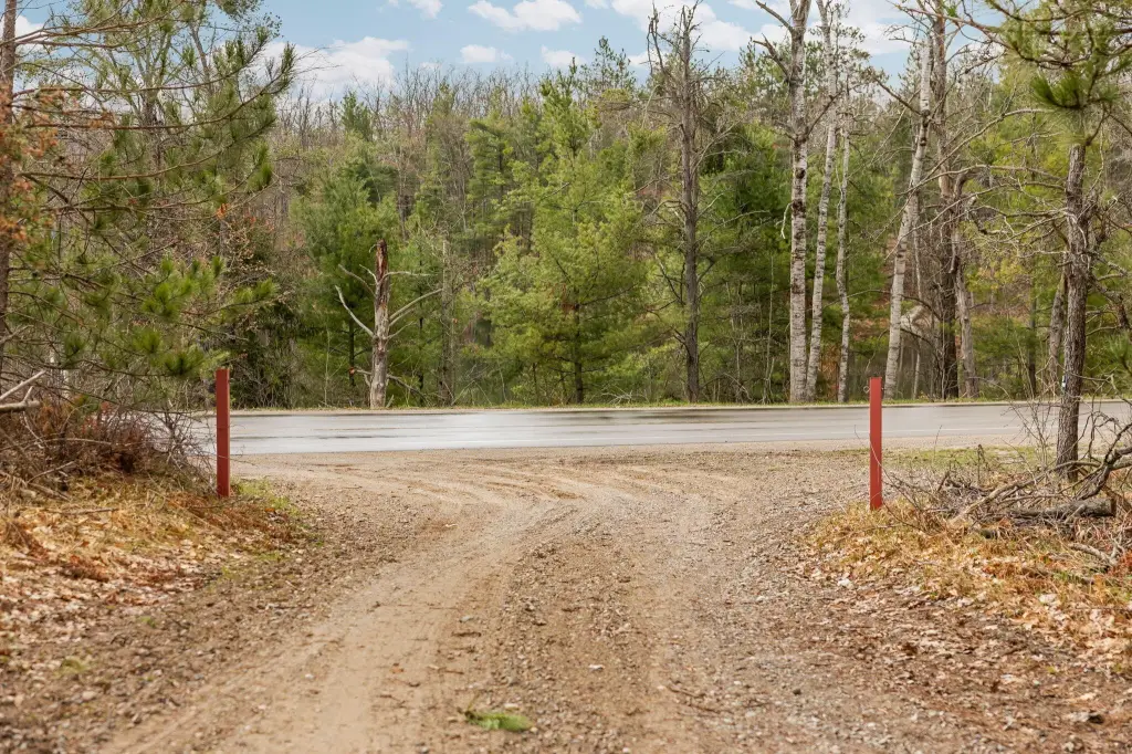
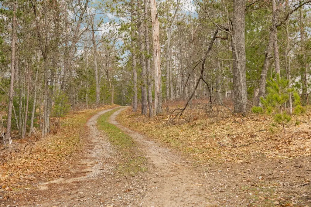
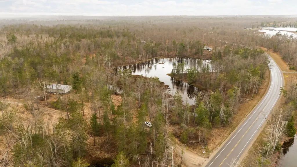
- Located on a paved, county‑maintained road.
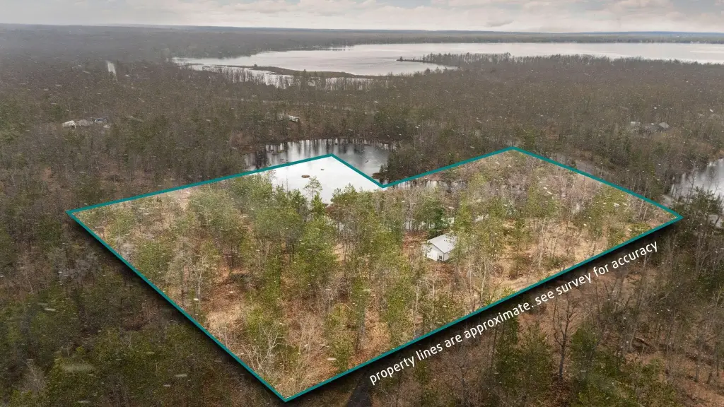
- Just under 10 acres on 2 parcels.
Overview
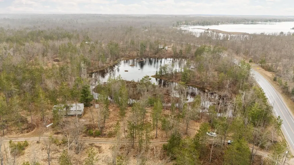
The property borders thousands of acres of public land and is positioned close to ATV and snowmobile trails. It is located near a public launch to West Twin Lake and is also referenced as being near the AuSable River for fishing. The site sits on a paved, county-maintained road, approximately 4 miles west of Lewiston.
For buyers looking for a functional basecamp, the combination of on-site storage, an established hunting setup, and permitted well/septic infrastructure can streamline planning. The parcel configuration and proximity to public land and trail access may appeal to hunters and recreation users who want convenience for seasonal stays and day trips while keeping the setting focused on outdoor use.
Current Use by Public Records
Map
- City
- Lewiston
- County
- Montmorency
- State
- Michigan
- Longitude
- -84.375724
- Latitude
- 44.866865