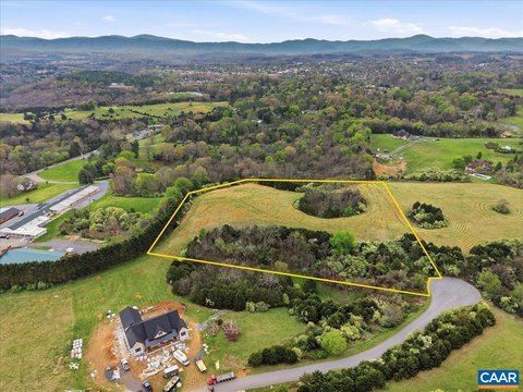
134 Ac. - S Buffalo Rd, Lexington, VA 24450
- Added:
- Nov 17, 2025
- Days on Market:
- 233
- Last Refresh:
- Jul 8 at 5:06 am
Property Features for 134 Ac. - S Buffalo Rd
General Information
- Property type
- Land
- Property subtype
- Other
- Zoning
- Agricultural
- Standard status
- Pending
- APN
- 94-A-26, 94-5-G, 94-3-B
- Lot size
- 134.26 Acres
Taxes and HOA fees
- Tax Year
- 2025
- Tax Description
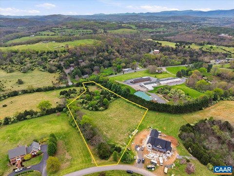
- 40.610 ac., m/l, shown as Reconfigured Parcel ID# 94-A-26, 29.385 ac., m/l, shown as Reconfigured Parcel ID# 94-5-G, and 64.263 ac., m/l, shown as Reconfigured Parcel ID# 94-3-B on a plat entitled ''Reconfiguration Plat Showing Parcel ID# 94-3-B, -4-1-22, 23, 24, 25, 26, 94-6-1,2, & 94-5-G Property of Tall Hills, LLC'' by Nixon dated 8/11/25 revised 9/9/25 situated on the E side of S. Buffalo Rd. in Buffalo District.
- Tax Annual Amount
- 430

Listing agent Will Moore License #0225199100 (540) 460-4602
Listing office James Wm. Moore Real Estate Co. 28 S Main St, Lexington, VA (540) 463-7080
Listing date Nov 17, 2025
Copyright © 2026 Rockbridge Highlands Realtors. All rights reserved. All information provided by the listing agent/broker is deemed reliable but is not guaranteed and should be independently verified.
HighLights
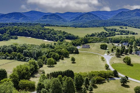
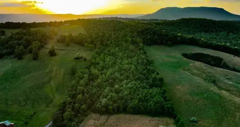
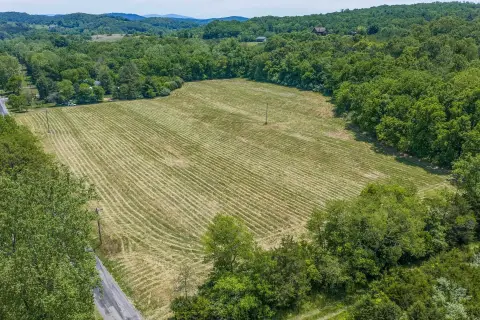
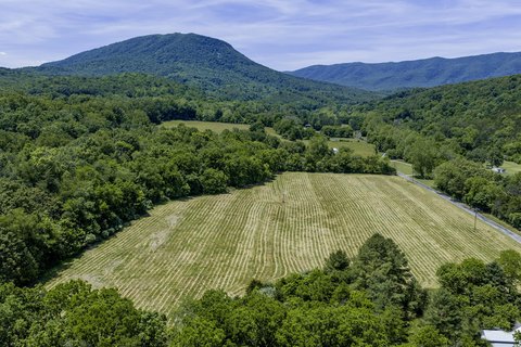
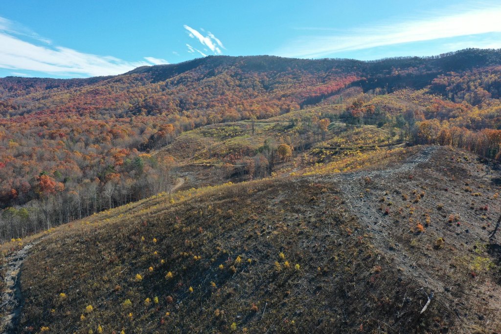
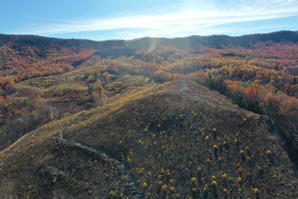
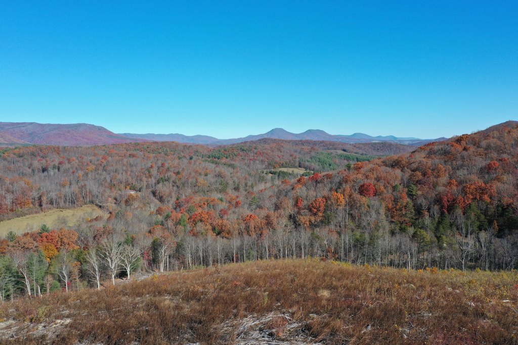
- 134+ acres of mountain wilderness adjoining Short Hills Wildlife Management Area
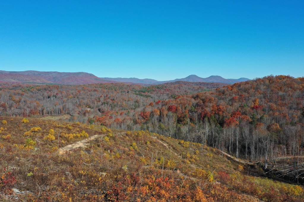
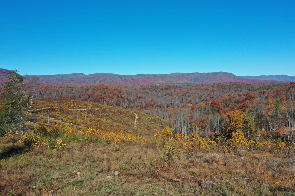
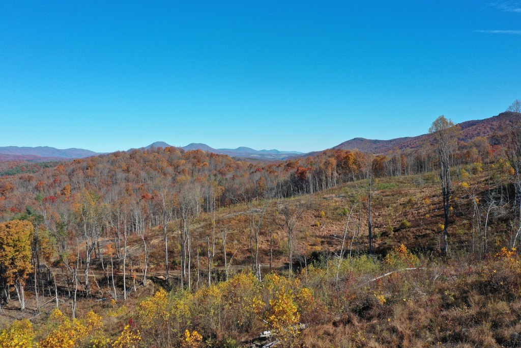
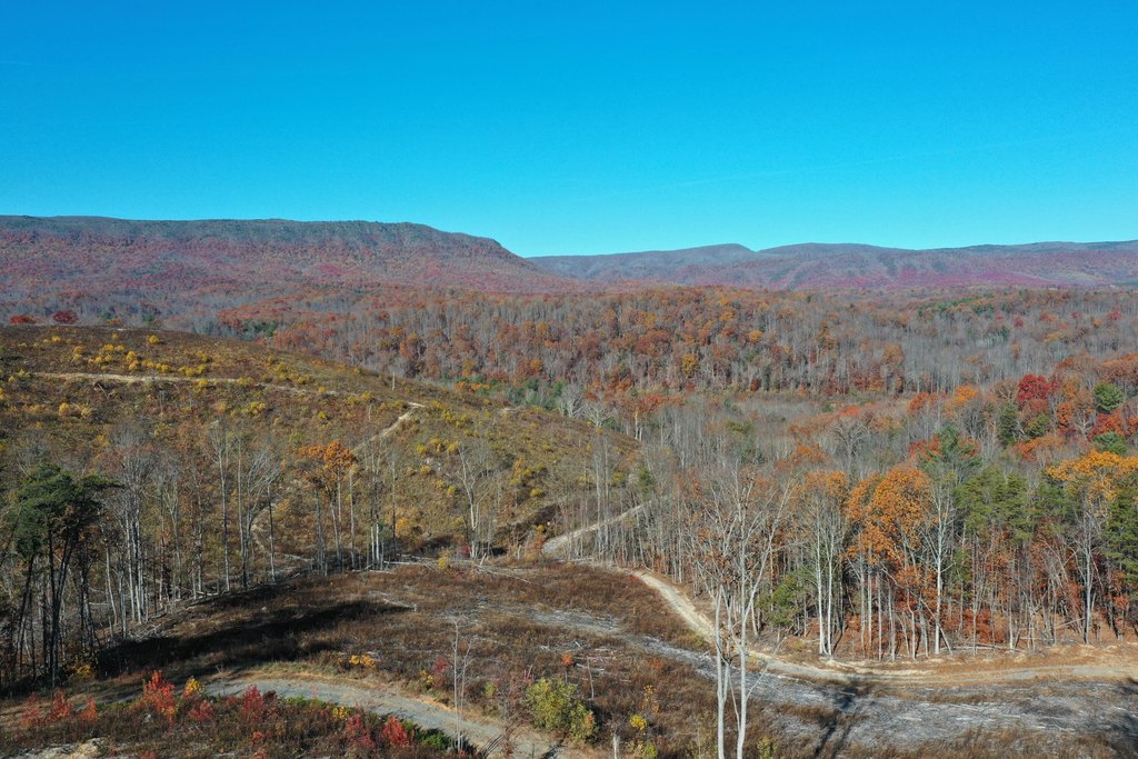
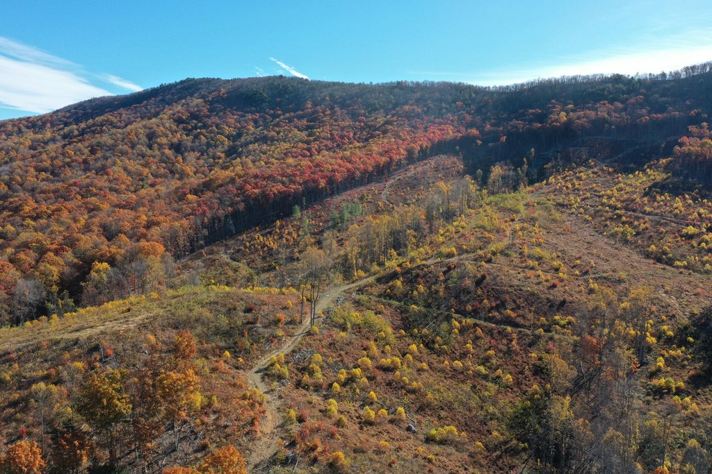
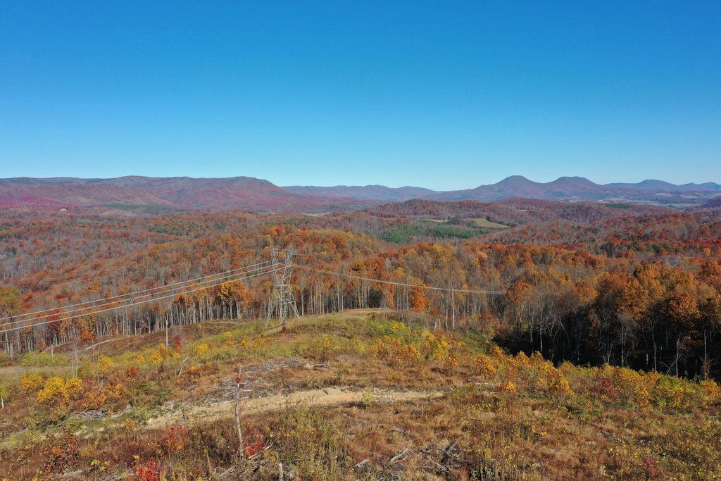
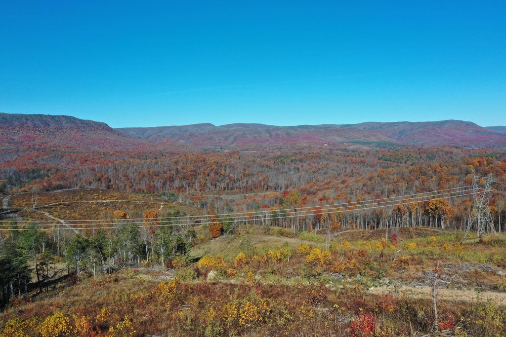
- Dramatic panoramic mountain views and high elevations
- Three separate tax parcels with no deed restrictions
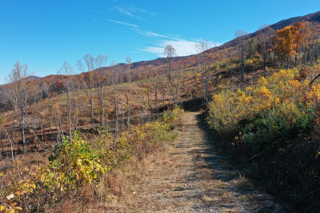
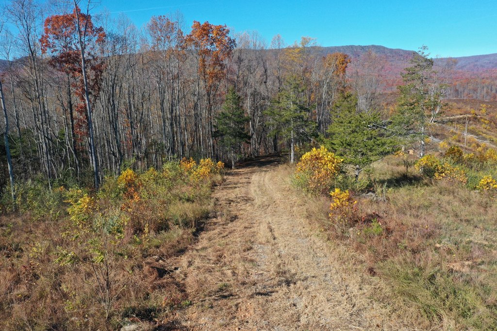
- Solid existing entry road providing access to ideal view‑oriented cabin sites
- Abundant game sign indicating prime wildlife habitat
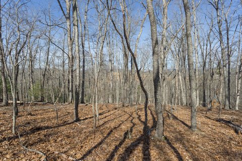
- Early regenerating forest with plentiful browse and cover
Overview
The property adjoins the Short Hills Wildlife Management Area in southern Rockbridge County, creating an immediate connection to preserved habitat. The terrain is characterized by high elevations, and the seller notes dramatic panoramic mountain views available from the site.
This offering is best suited for buyers seeking recreational land with an established approach for getting onto the property, along with the combination of habitat and elevation that can support hunting and off-grid cabin development. With Agricultural zoning, the parcel is positioned for outdoor use while remaining flexible under the “no deed restrictions” condition.
Current Use by Public Records
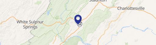
Location Insight
- Map
- Local Demand
- City
- Lexington
- County
- Lexington
- State
- Virginia
- Longitude
- -79.616649
- Latitude
- 37.686051