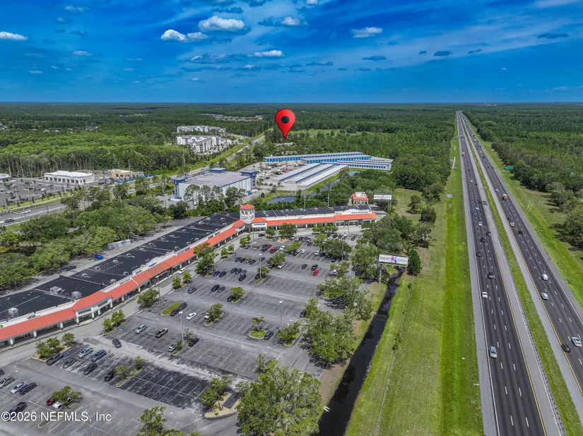
2960 State Road 16 St. Augustine, Saint Augustine, FL 32092
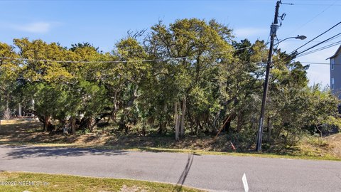
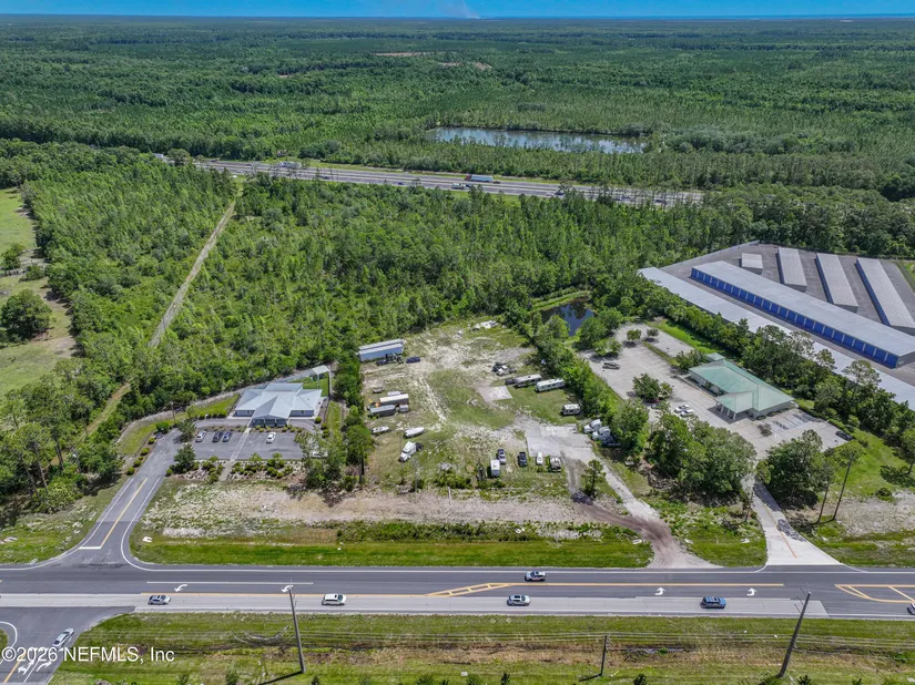
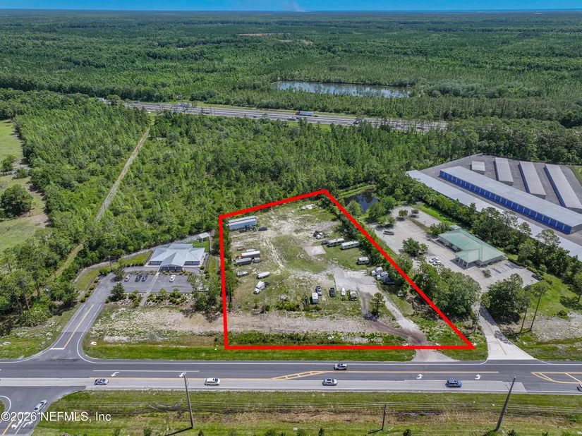
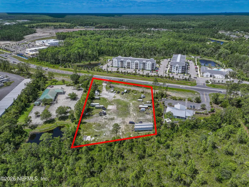
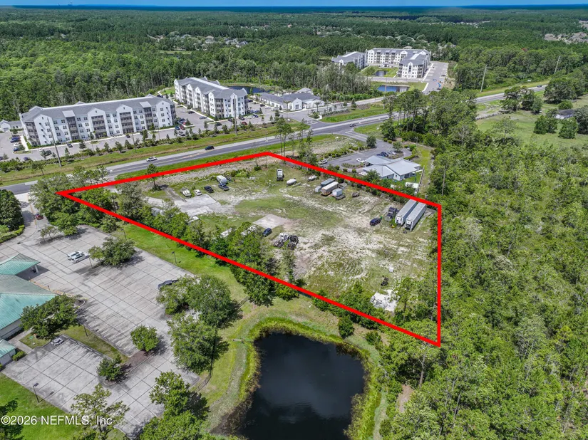
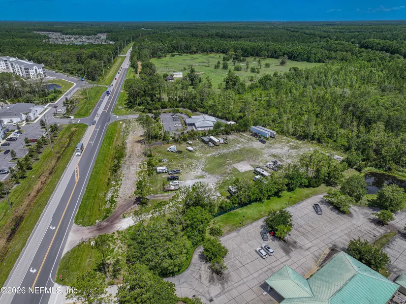
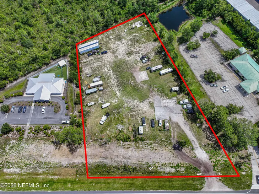
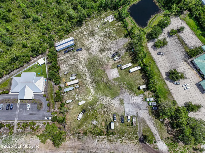
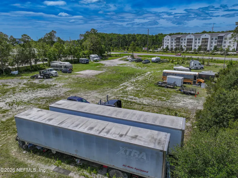
Two adjacent parcels sold together with Commercial PUD zoning, positioned along a major growth corridor.
- Added:
- Jul 5, 2026
- Days on Market:
- 4
- Last Refresh:
- Jul 6 at 2:22 am
Property Features for 2960 State Road 16 St. Augustine
General Information
- Standard status
- Active
- Lot size
- 2.00 Acres
- Property subtype
- Land
Listing office (904) 569-5862
Listing date Jul 5, 2026
Source Movetojacksonville
Displayed information is deemed reliable but is not guaranteed and should be independently verified.
All listing content including descriptions, pricing, images are the copyrighted material of Martina Jordan
HighLights
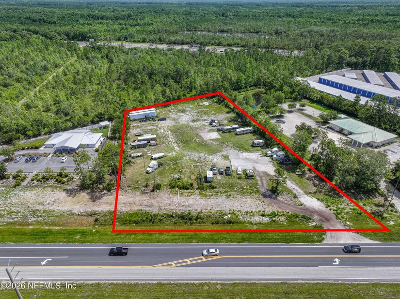
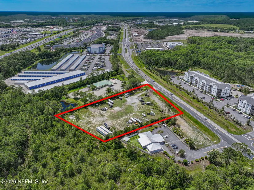
- Two adjacent parcels sold together as one offering, totaling 1.93 acres (Lot 2950 and Lot 2960).
- Commercial PUD zoning with permitted uses including banks with drive‑thru, convenience stores with fuel, car washes, and quick‑service restaurants with drive‑thru (subject to PUD requirements).
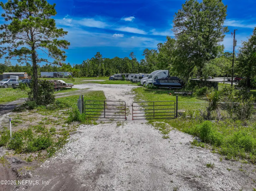
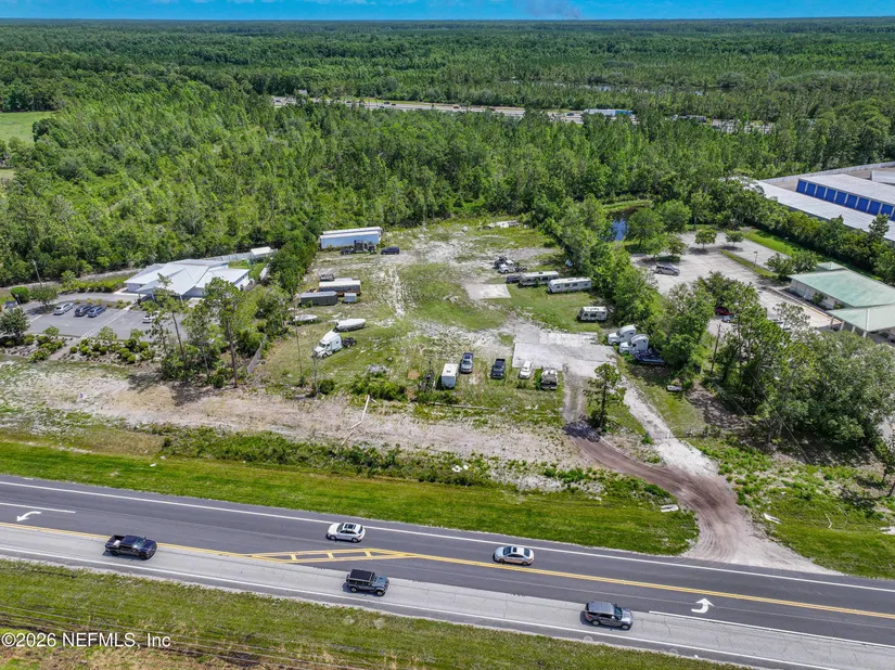
- Road frontage on State Road (State Road 16 corridor).
- Parcels included: Lot 2950 (Parcel ID 0874100030) and Lot 2960 (Parcel ID 0874100000).
Overview
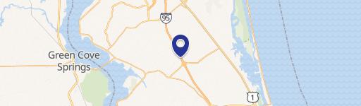
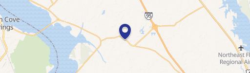
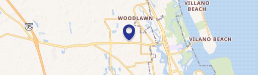
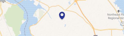
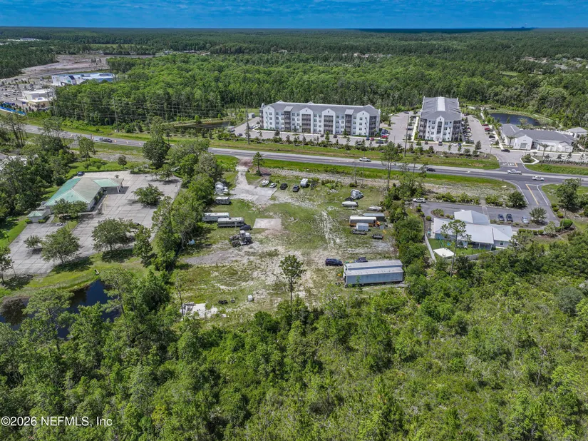
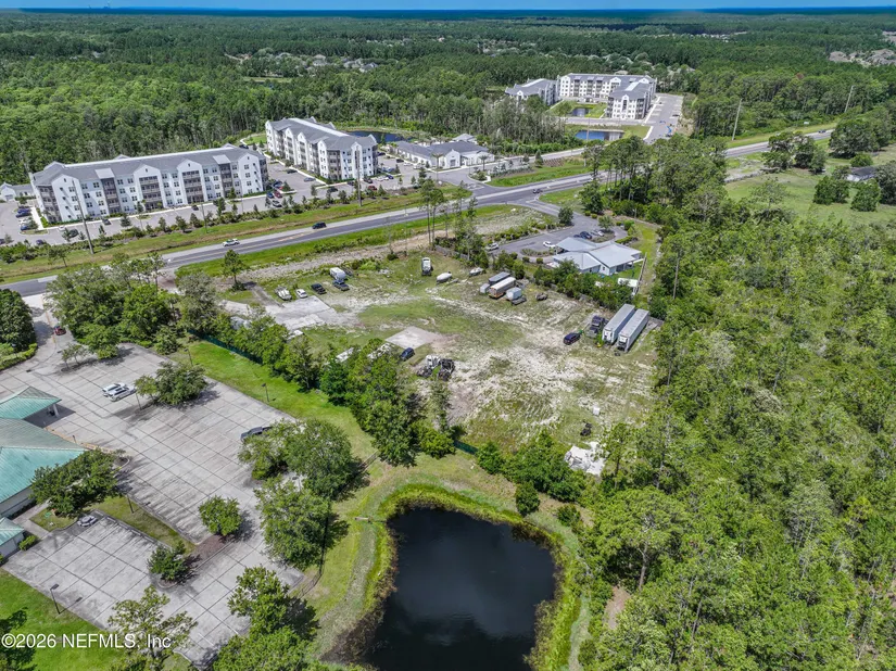
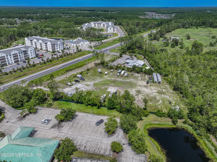
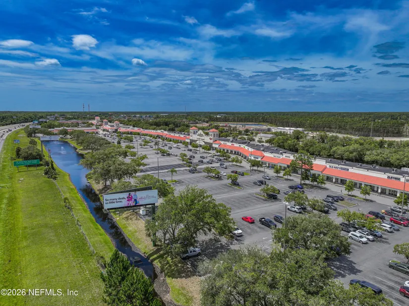
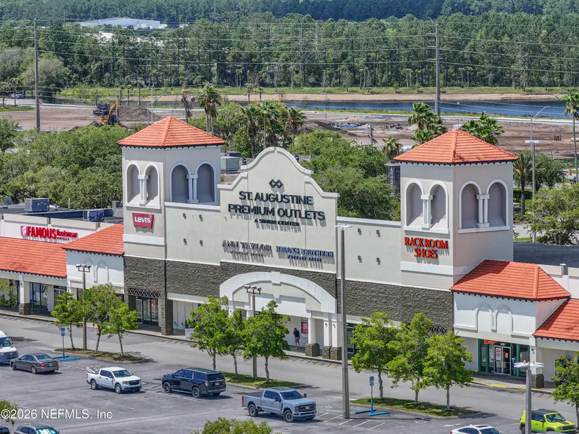
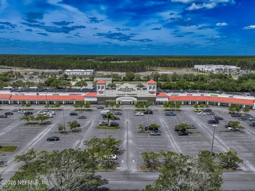
The property is located along the State Road 16 corridor in St. Augustine, positioned between Mill Creek, Murabella, World Golf Village, and the Elevation Pointe development currently under construction. The site is directly across from Elevation Pointe’s multifamily community, and a Publix-anchored shopping center is located less than 1,200 feet east of the property. State Road 16 is also planned for expansion to five lanes, which may improve overall accessibility and traffic flow in the area.
Commercial PUD zoning provides flexibility for a range of commercial uses, including banks with drive-thru facilities, convenience stores with fuel sales, car washes, quick-service restaurants with drive-thru service, retail establishments, and other permitted commercial uses subject to PUD requirements. For developers and operators seeking a multi-parcel site in a rapidly expanding corridor, this land package offers an opportunity to plan and permit within a PUD framework.
Current Use by Public Records
Map
- City
- Saint Augustine
- County
- St. Johns
- State
- Florida
- Longitude
- -81.5016
- Latitude
- 29.9378