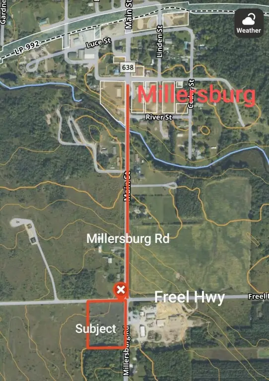
12551 Freel Highway, Millersburg, MI 49759
- Added:
- Jun 27, 2025
- Days on Market:
- 351
- Last Refresh:
- Jun 12 at 6:06 pm
Property Features for 12551 Freel Highway
General Information
- Property type
- Land
- Property subtype
- Other
- Standard status
- Pending
- APN
- 051-022-000-006-01, 02, & 03
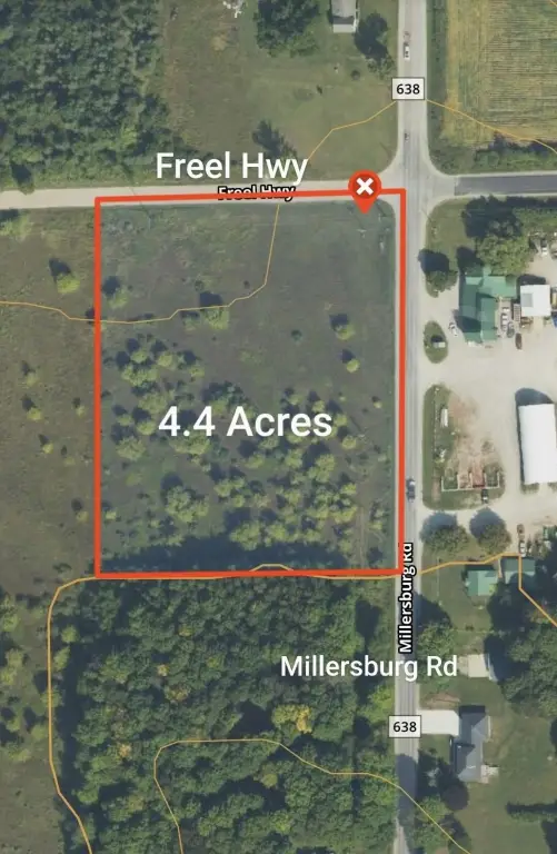
- Lot size
- 4.40 Acres
Taxes and HOA fees
- Tax Year
- 2024
- Tax Description
- T34N R3E SEC 22 PARCEL C COM AT N 1/4 COR OF SAID SEC TH S 88D 35M 21S W 200FT TO POB, TH S 0D 55M 45S W 480FT, TH S 88D 35M 21S W 200FT, TH N 0D 55M 45S E 480FT, TH N 88D 35M 21S E 200FT TO THE POB. continued, see exhibit a - legal description
- Tax Annual Amount
- 344
Listing agent Troy L Calhoon License #6501341501 (989) 619-2017
Listing office Real Estate One of Gaylord 110 W Main St, Gaylord, MI (989) 448-8209
Listing date Jun 27, 2025
Copyright © 2026 Water Wonderland Board of Realtors®. All rights reserved. All information provided by the listing agent/broker is deemed reliable but is not guaranteed and should be independently verified.
HighLights
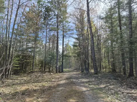
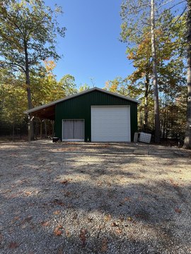
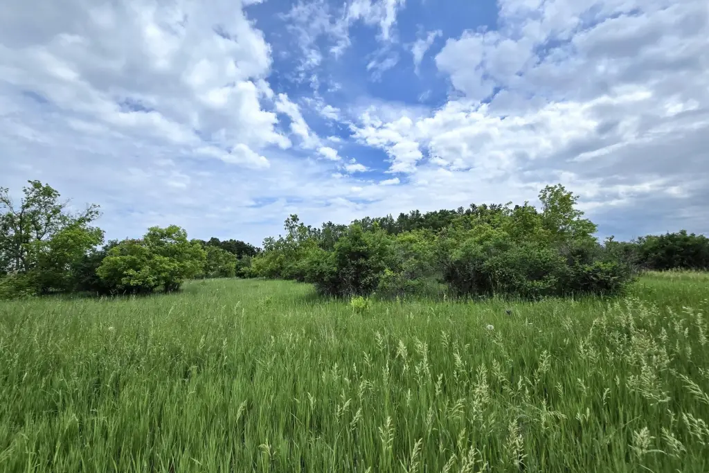
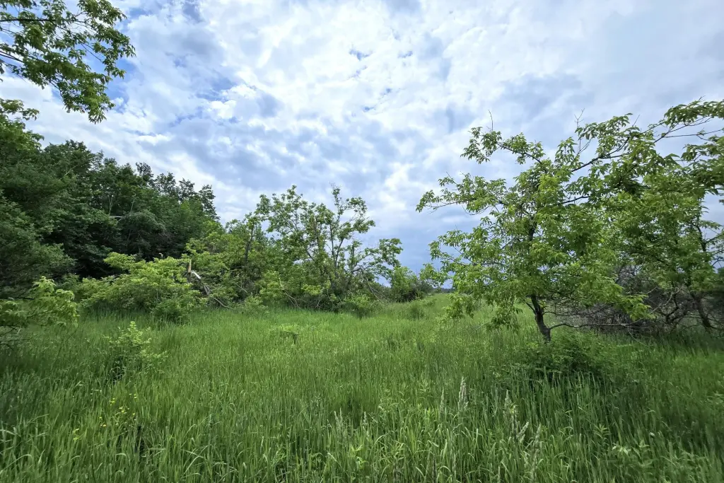
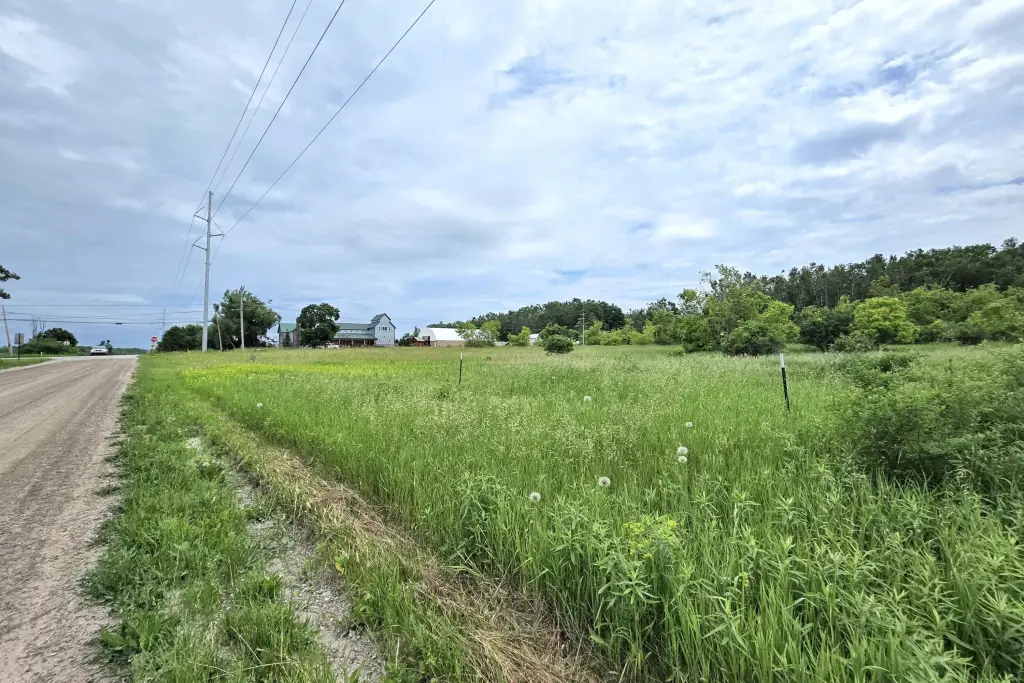
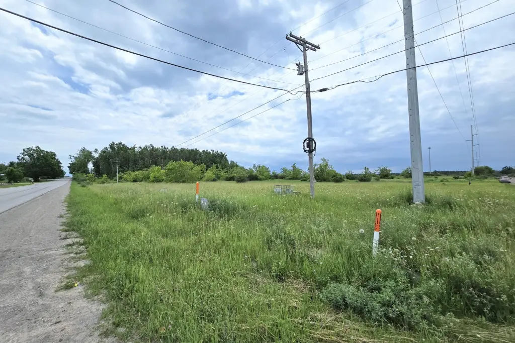
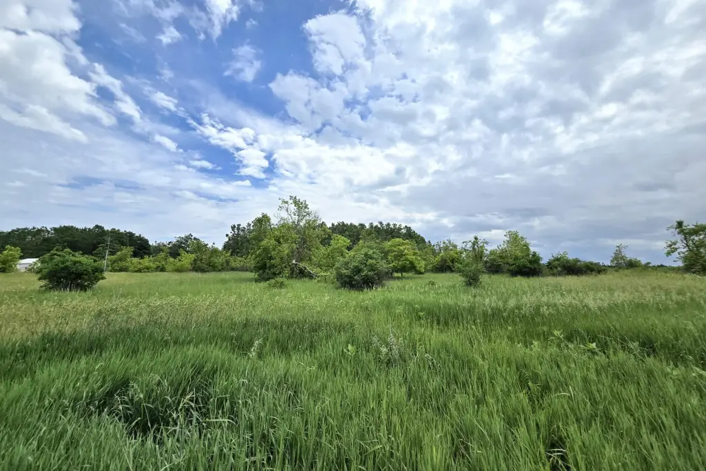
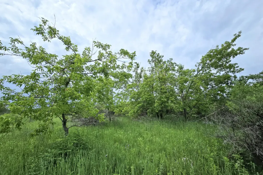
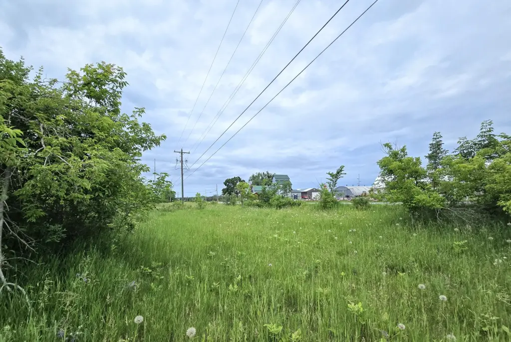
- Large 4.4‑acre property comprised of 3 parcels, offering ample space and potential.
- Flat, clear land ready for building or recreation.
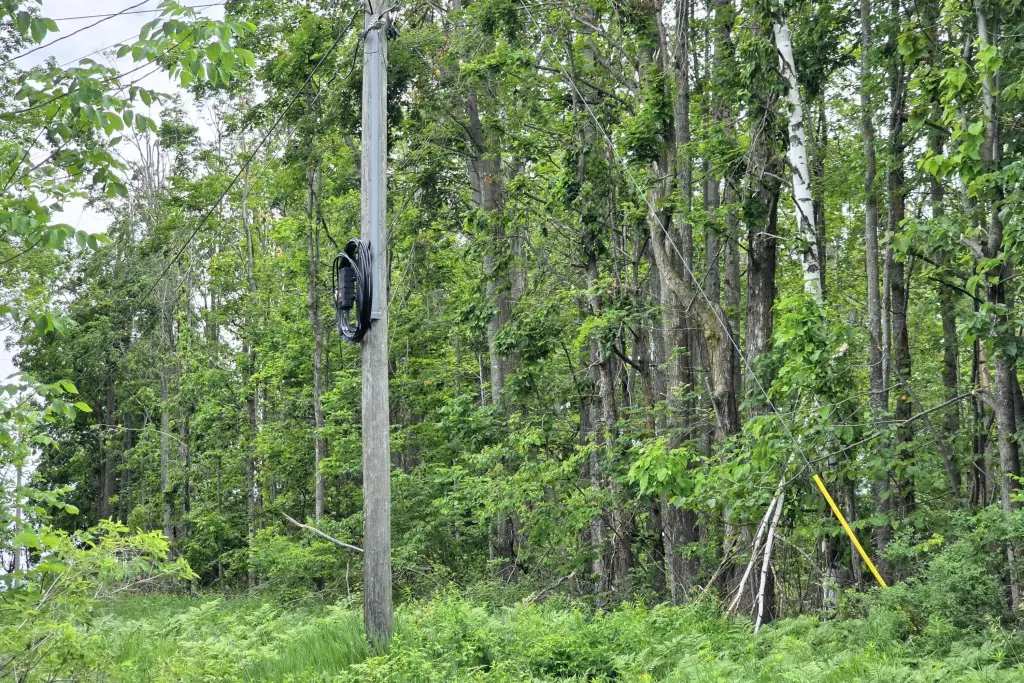
- Electric and fiber internet available at the road.
- Zoned agricultural, providing flexible building options.
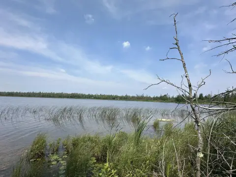
- Conveniently located near outdoor attractions like Ocqueoc River, Ocqueoc Falls, and Hammond Bay Harbor.
- Mix of trees providing beauty, shade, and privacy.
Overview
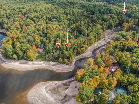
The property is located just outside Millersburg limits in Presque Isle County, with a short drive to Onaway, Rogers City, and Alpena. The surrounding area is characterized by Northern Michigan outdoor access, with Ocqueoc River and Ocqueoc Falls, as well as Hammond Bay Harbor, listed as nearby destinations.
Zoned agricultural, this land may fit buyers looking for flexible use under an agricultural zoning designation. The combination of flat terrain, accessible utilities at the road, and a mix of clear ground and trees makes the site practical for either a long-term agricultural plan or a personal build or recreational use, subject to applicable approvals and requirements.
Current Use by Public Records
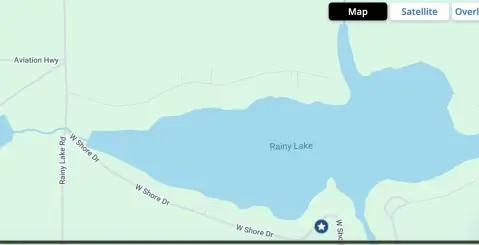
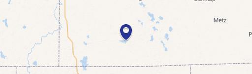
Location Insight
- Map
- Local Demand
- City
- Millersburg
- County
- Presque Isle
- State
- Michigan
- Longitude
- -84.061308
- Latitude
- 45.326556