12483 Lodge Drive, Garfield, AR 72732
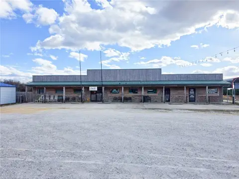
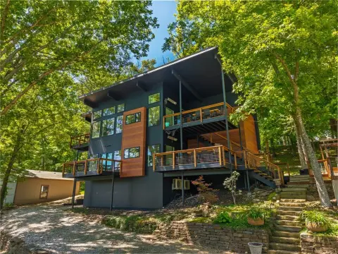
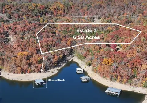
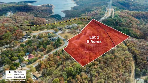
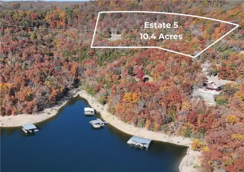
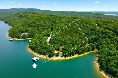
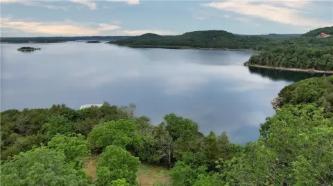
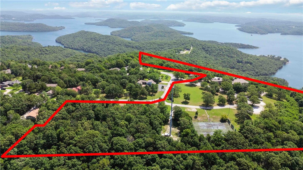
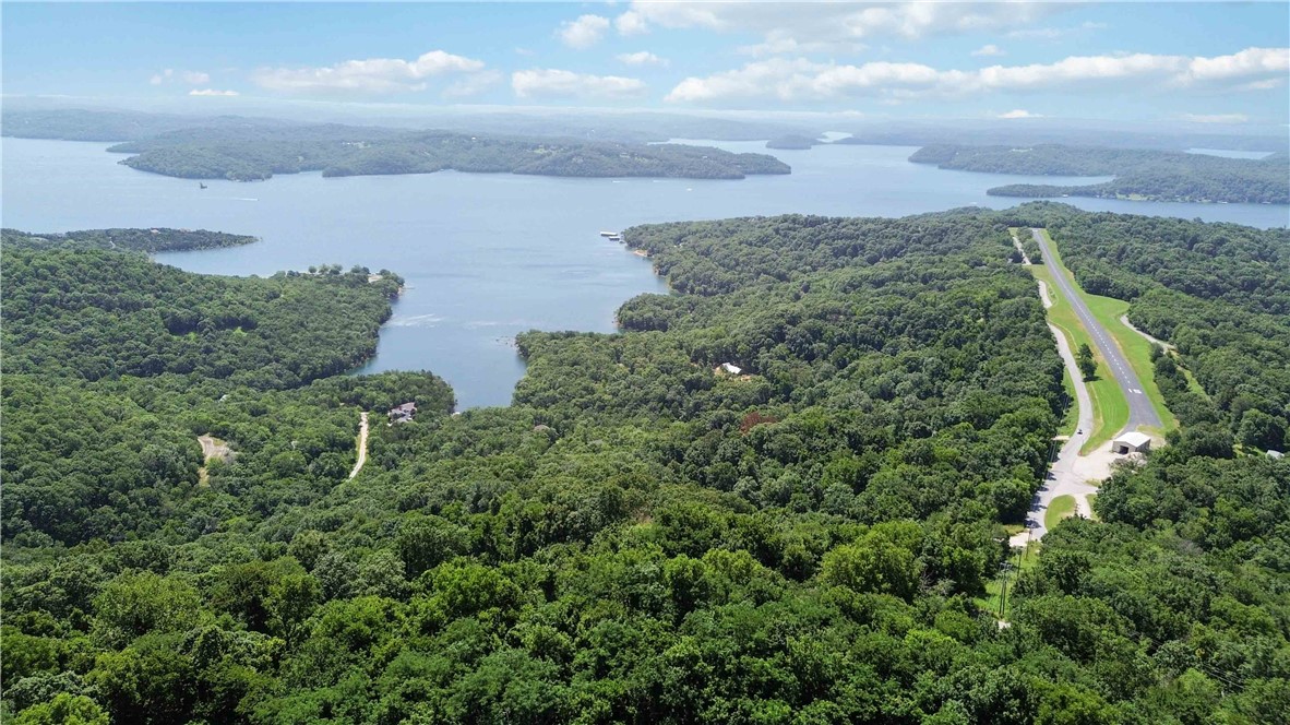
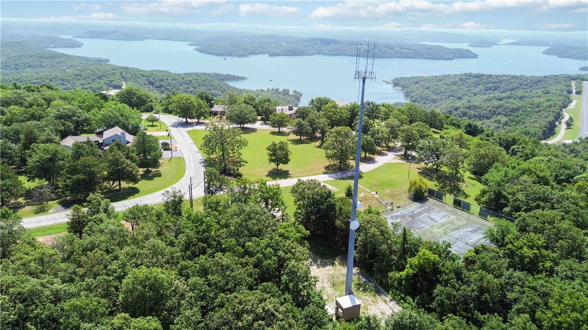
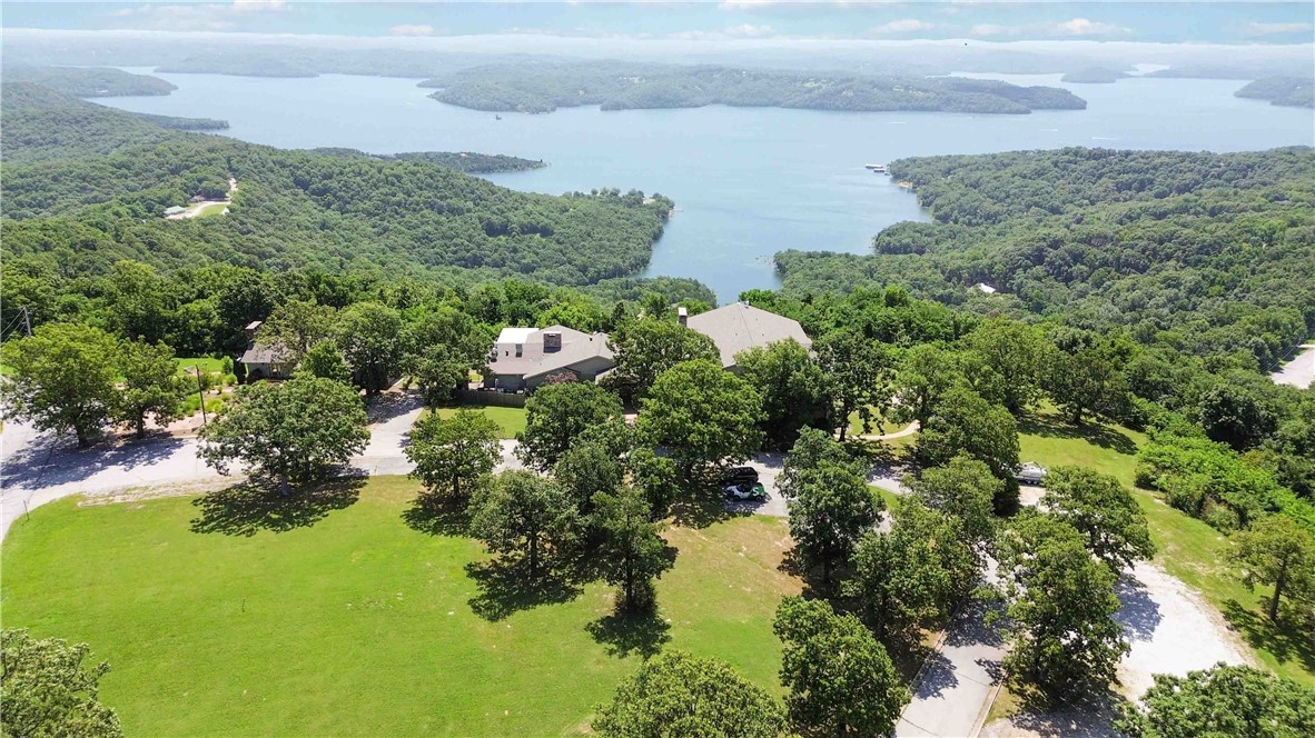
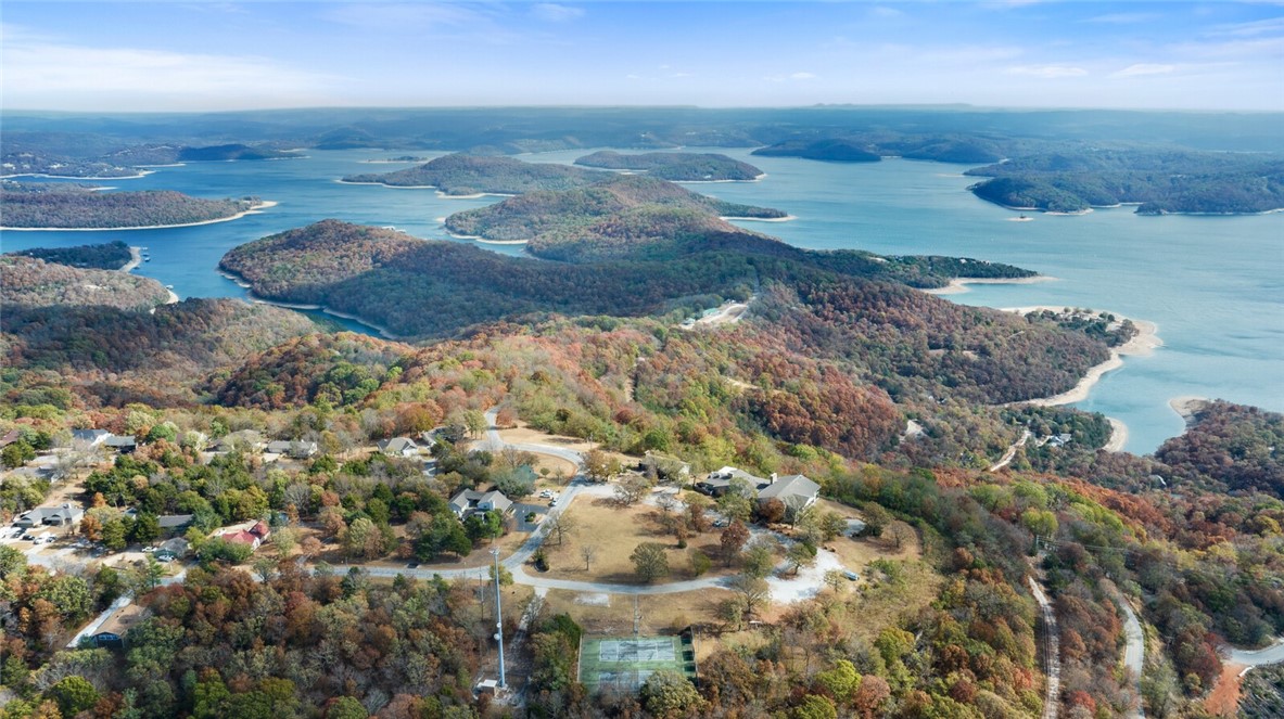
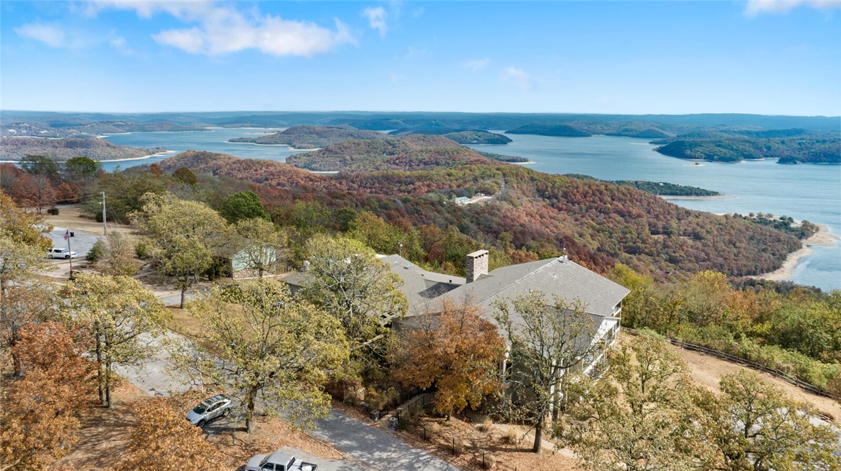
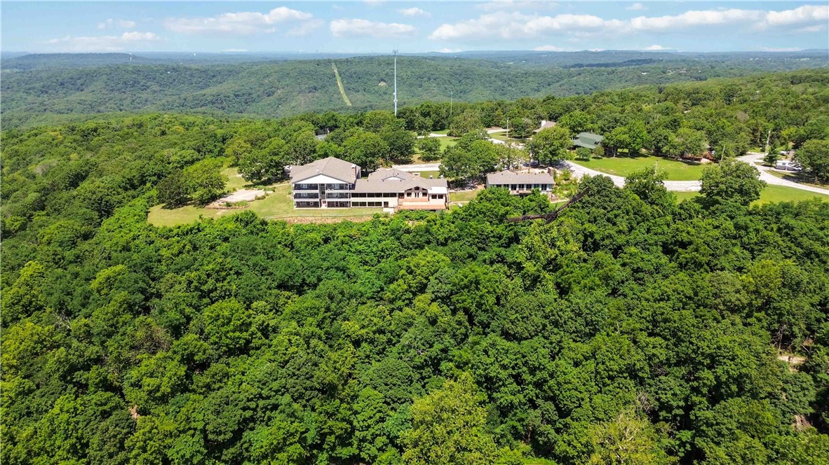
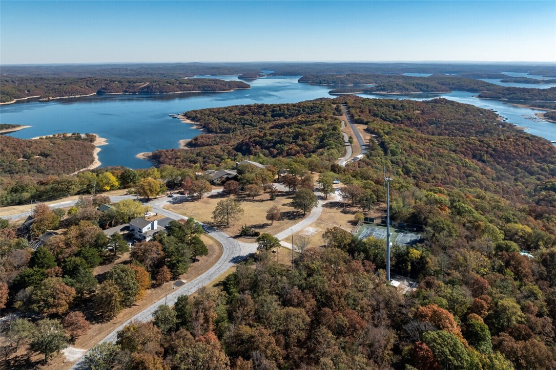
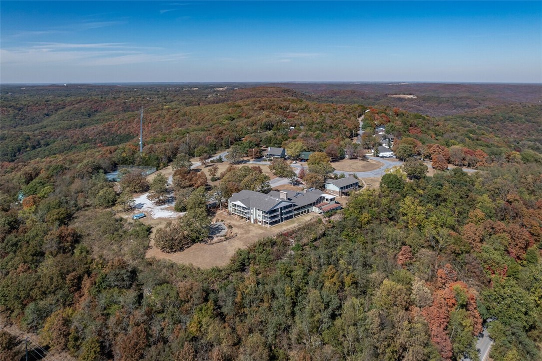
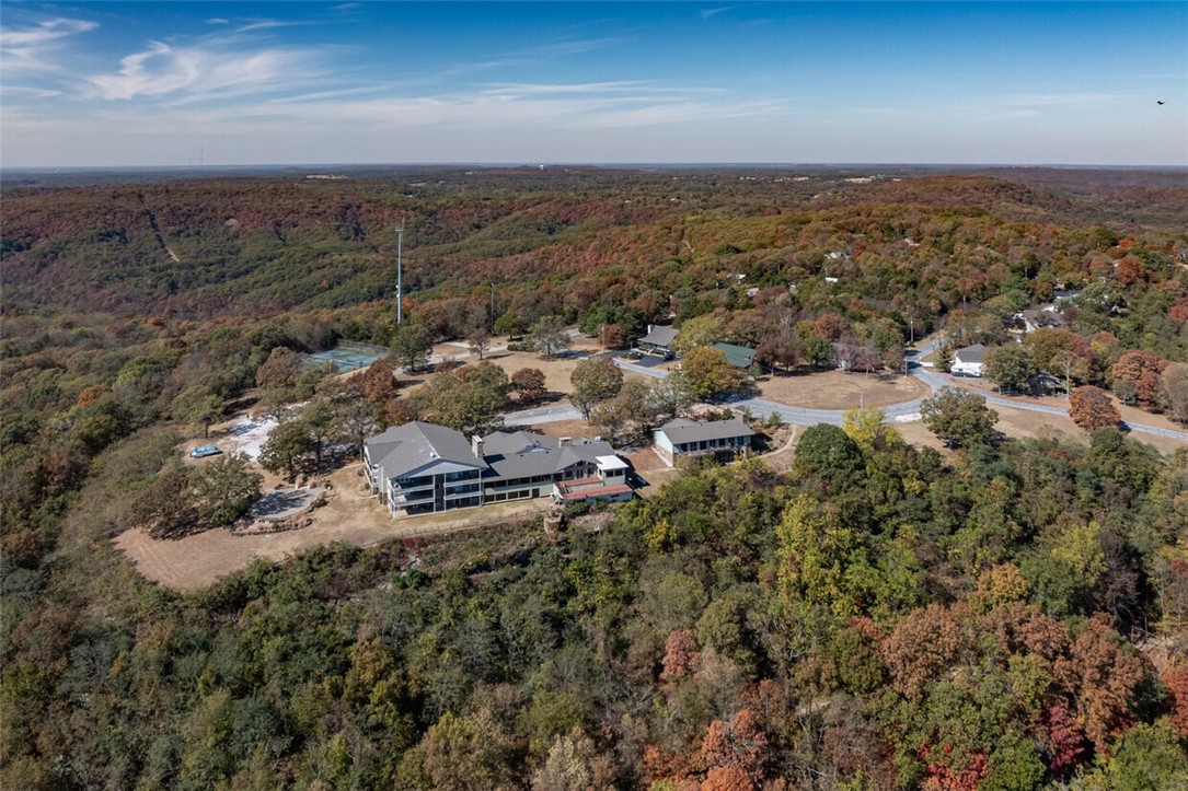
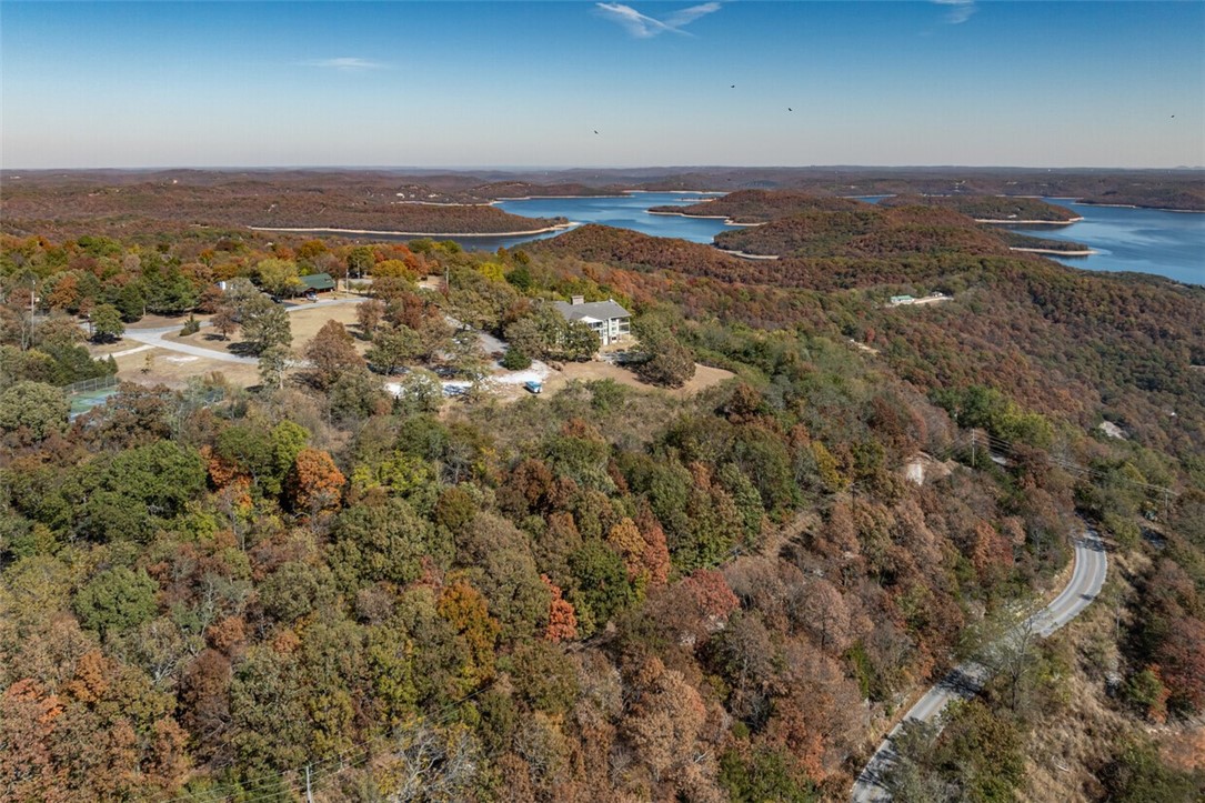
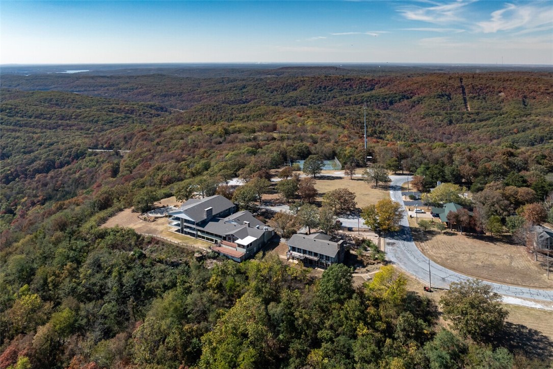
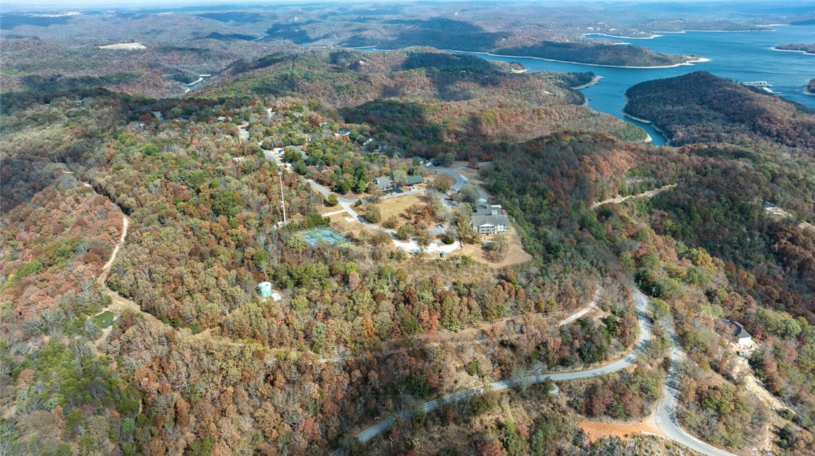
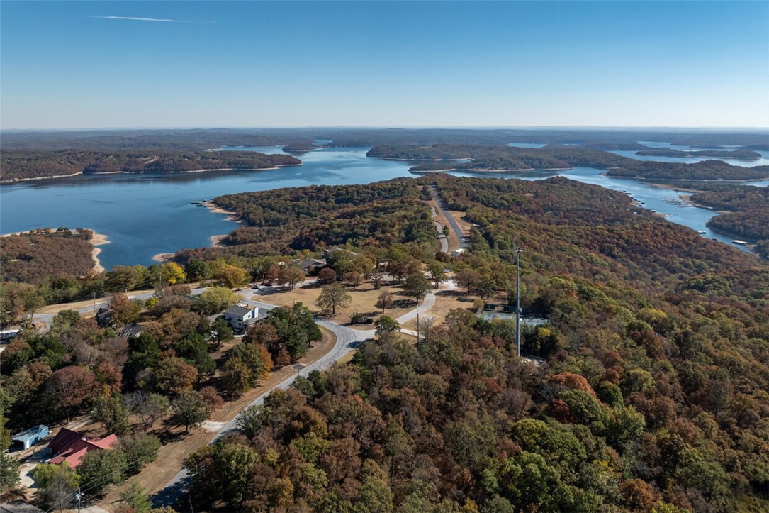
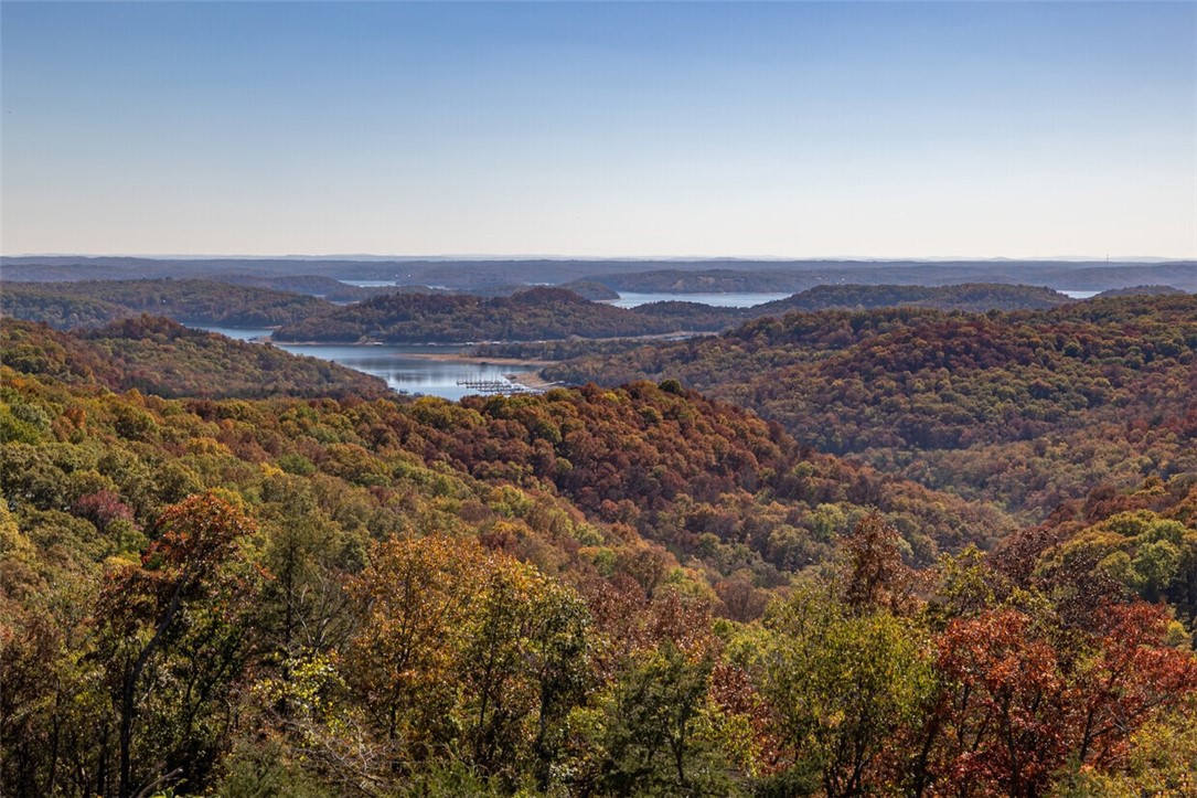
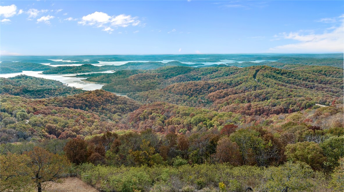
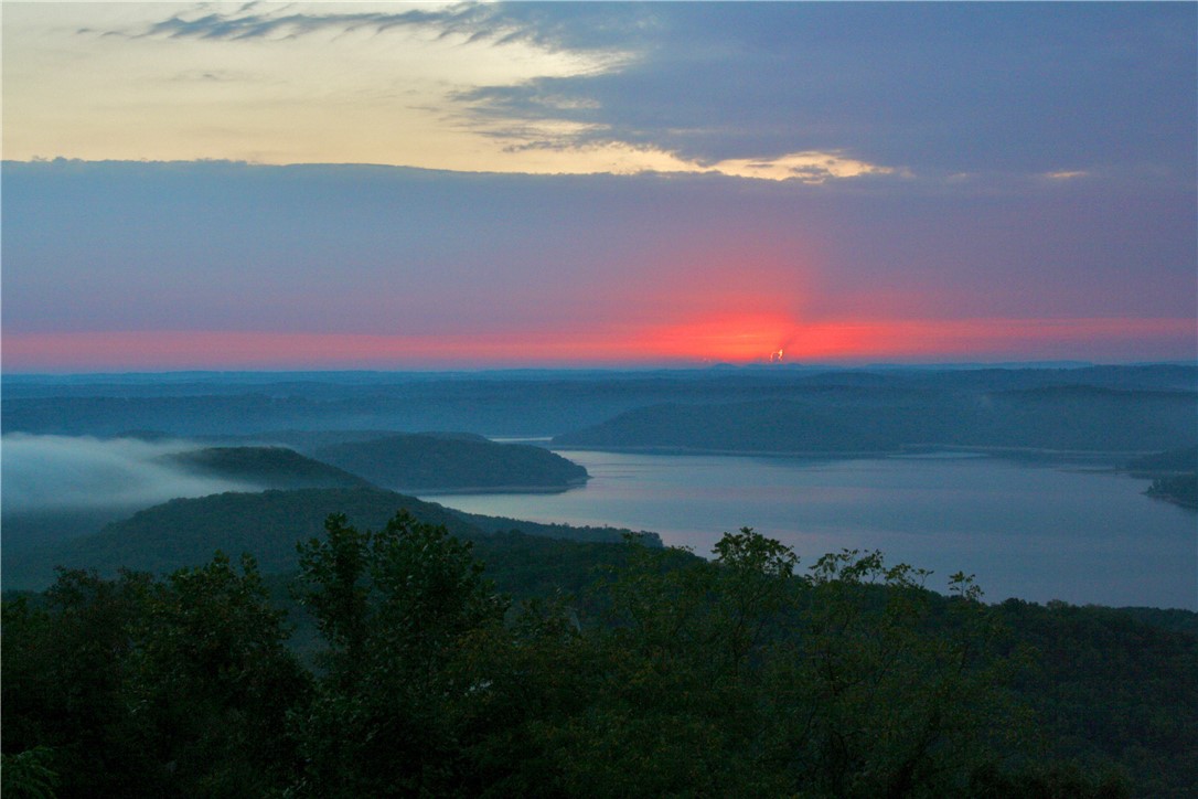
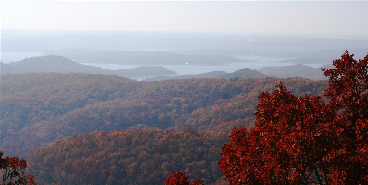
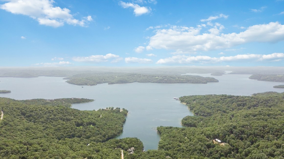
Waterfront redevelopment land with sewer access and year-round Beaver Lake views, offering flexible development options.
- Added:
- Nov 4, 2024
- Days on Market:
- 611
- Last Refresh:
- Jun 27 at 2:25 am
Property Features for 12483 Lodge Drive
General Information
- Standard status
- Active
- Property subtype
- Unimproved Land
Listing office Keller Williams Market Pro Realty Bentonville West
Listing date Nov 4, 2024
Source 1percentlistsarkansas
Displayed information is deemed reliable but is not guaranteed and should be independently verified.
All listing content including descriptions, pricing, images are the copyrighted material of Keller Williams Market Pro Realty Bentonville West
HighLights
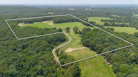
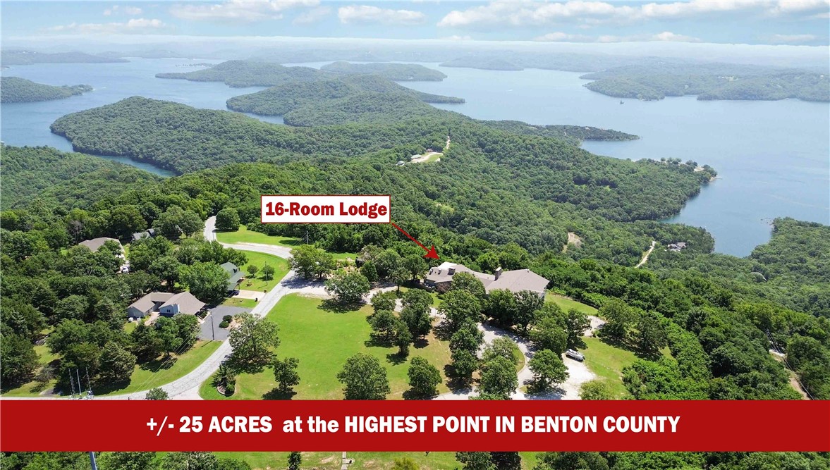
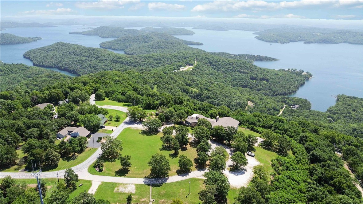
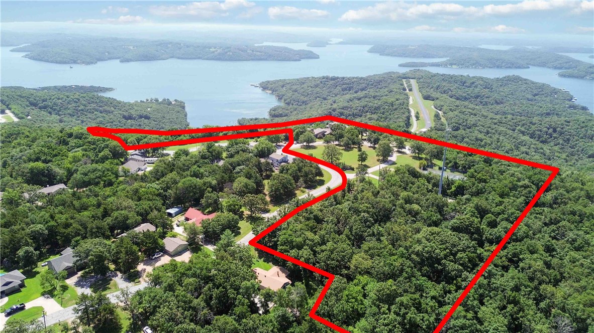
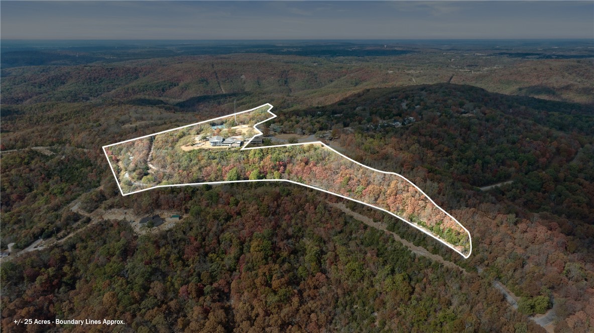
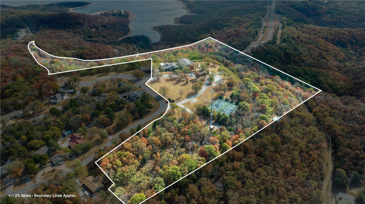
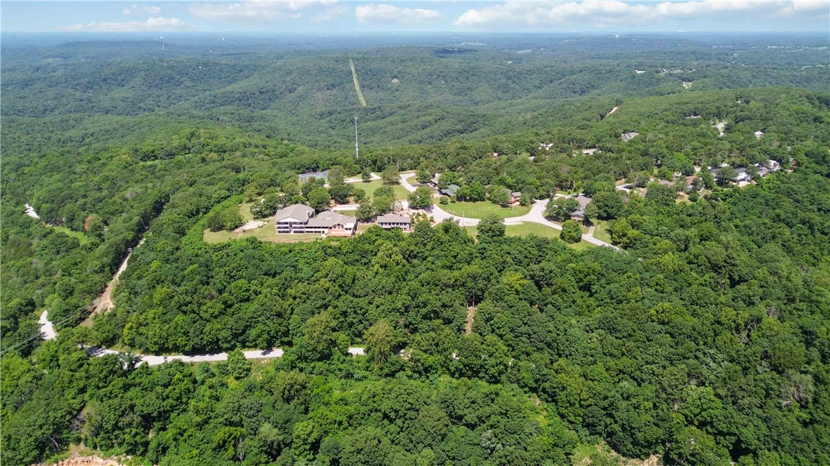
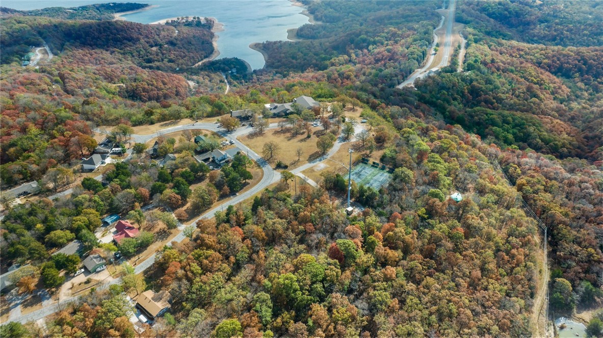
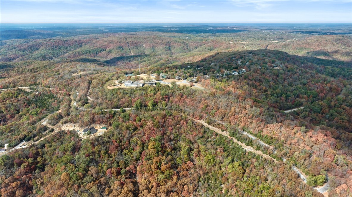
- ±25‑acre redevelopment land with year‑round views of Beaver Lake from Benton County’s highest point (1,800 ft).
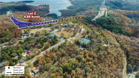
- Sewer access on‑site—listed as the only redevelopment site with sewer access.
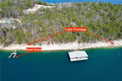
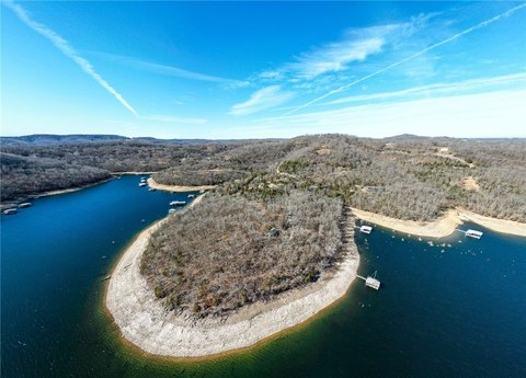
- Overlooks 487 miles of shoreline of Beaver Lake.
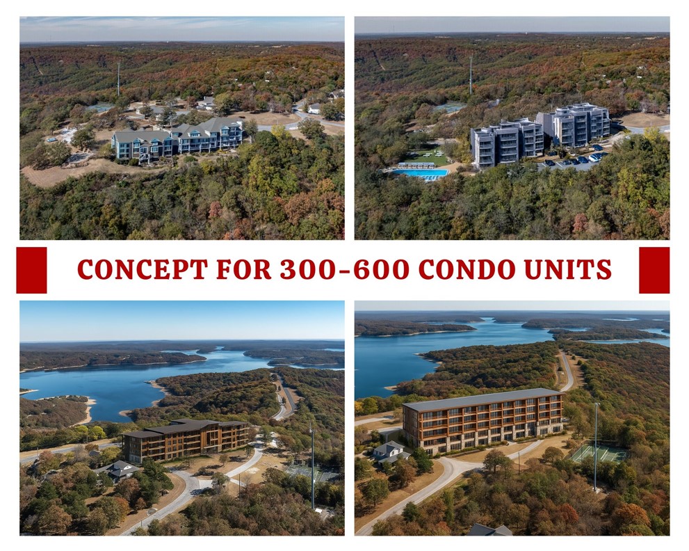
- No formal zoning reported, offering flexibility for development options such as resort, hotel, retreat center, condos, apartments, or mixed‑use.
- Location: 1.7 miles east of Lost Bridge Marina and 2.7 miles west of Beaver Lake Sail Club.
- Travel times: ~20‑minute drive to Rogers Executive Airport and ~35‑minute drive to the new Walmart World Headquarters.
Overview
The site is located in Benton County and is stated to have no formal zoning, creating flexibility for a range of potential development concepts. According to the information provided, the property sits about 1.7 miles east of Lost Bridge Marina and about 2.7 miles west of Beaver Lake Sail Club. The location is also described as a roughly 20-minute drive to Rogers Executive Airport.
Given the combination of waterfront views, sewer access, and lack of formal zoning, the property may be suitable for investors or operators evaluating higher-end hospitality or residential development strategies. The listed development concepts include a resort, hotel, retreat center, condos, apartments, or mixed-use development. Interested parties should verify feasibility and specific requirements with the appropriate local authorities, but the asset is positioned to support multiple end uses based on the flexibility described.
Current Use by Public Records
Location Insight
- Map
- Local Demand
- City
- Garfield
- County
- Benton
- State
- Arkansas
- Longitude
- -93.916306
- Latitude
- 36.401363