TL 1100 & 1200 Penny Lane, Burns, OR 97720
- Added:
- Jun 10, 2026
- Days on Market:
- 27
- Last Refresh:
- Jul 6 at 1:06 am
Property Features for TL 1100 & 1200 Penny Lane
General Information
- Property type
- Land
- Property subtype
- Other
- Standard status
- Active
- Lot size
- 640.00 Acres
Taxes and HOA fees
- Tax Annual Amount
- 239
Utilities
- Water source
- Well
Listing agent Curt Blackburn (541) 573-7206
Listing office Jett Blackburn Real Estate Inc. 707 Ponderosa Village, Burns, OR (541) 413-5660
Listing date Jun 10, 2026
Copyright © 2026 My State MLS. All rights reserved. All information provided by the listing agent/broker is deemed reliable but is not guaranteed and should be independently verified.
HighLights
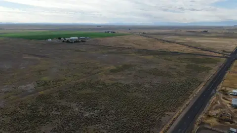
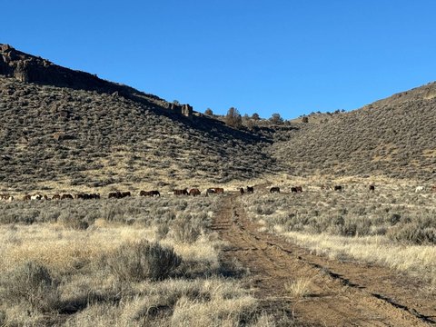
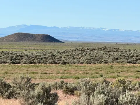
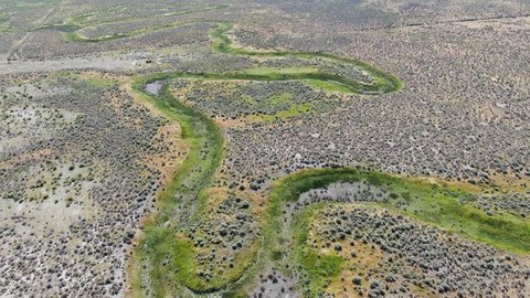
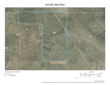
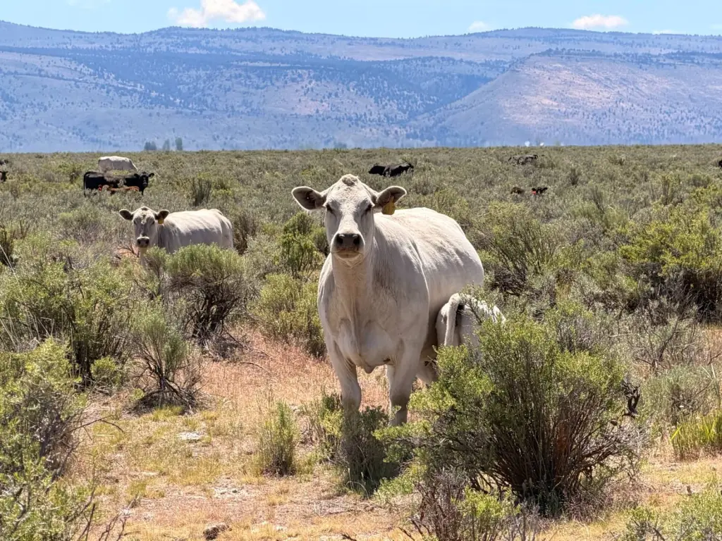
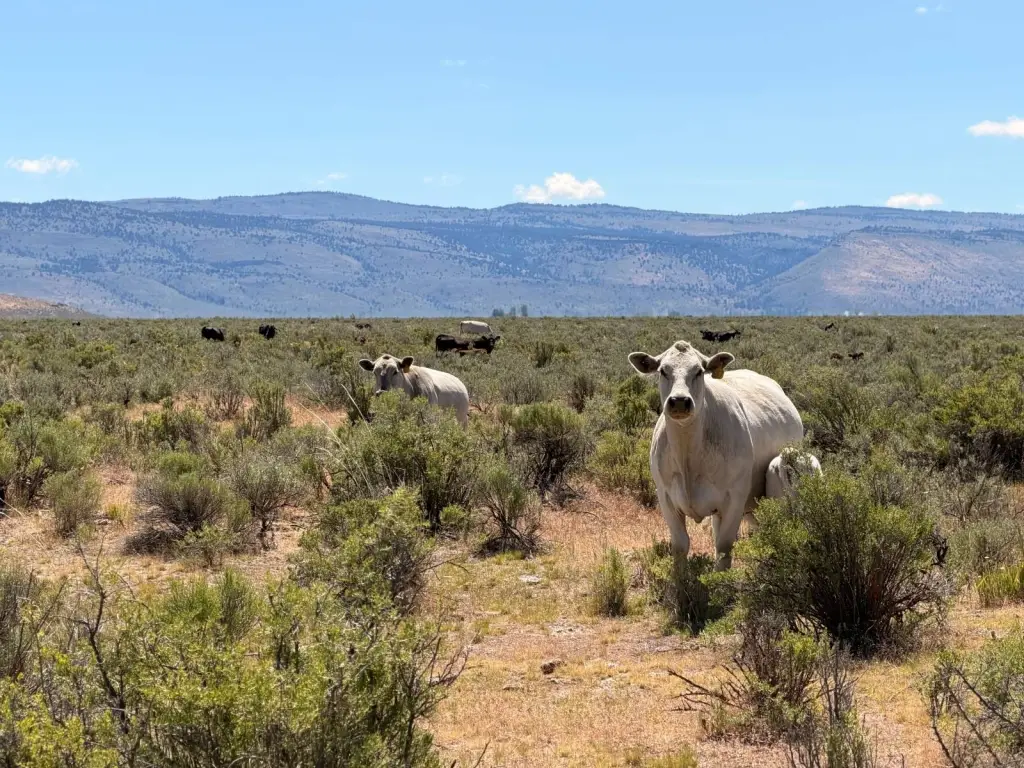
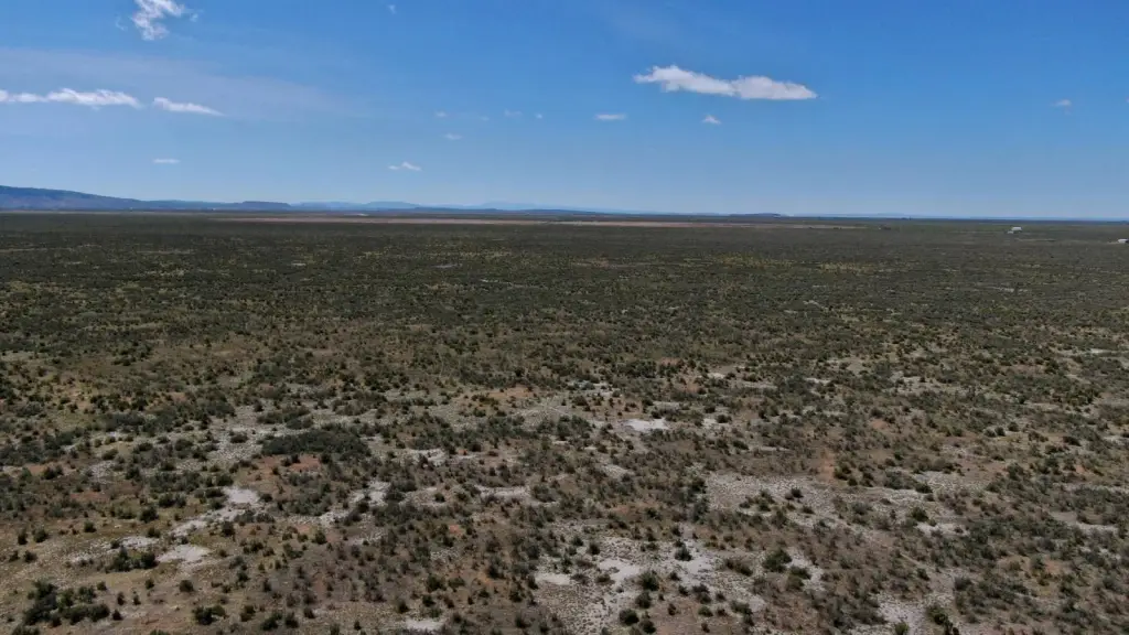
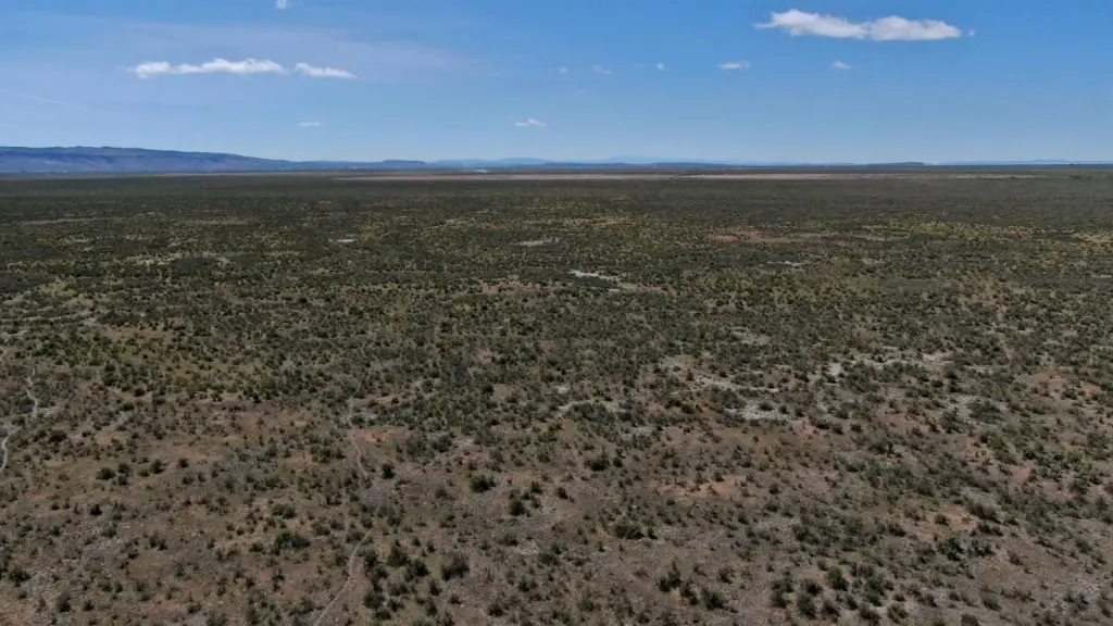
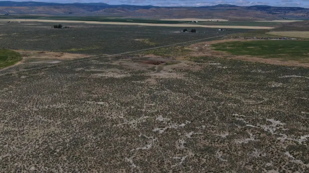
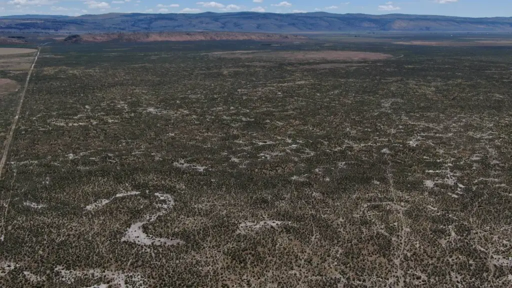
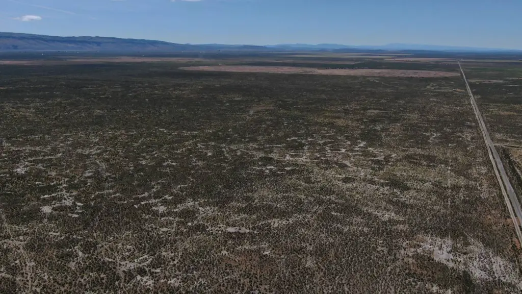
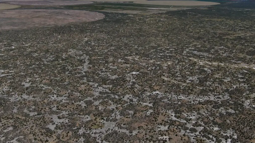
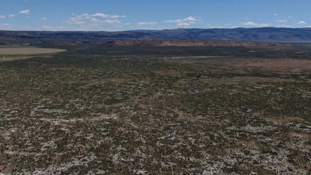
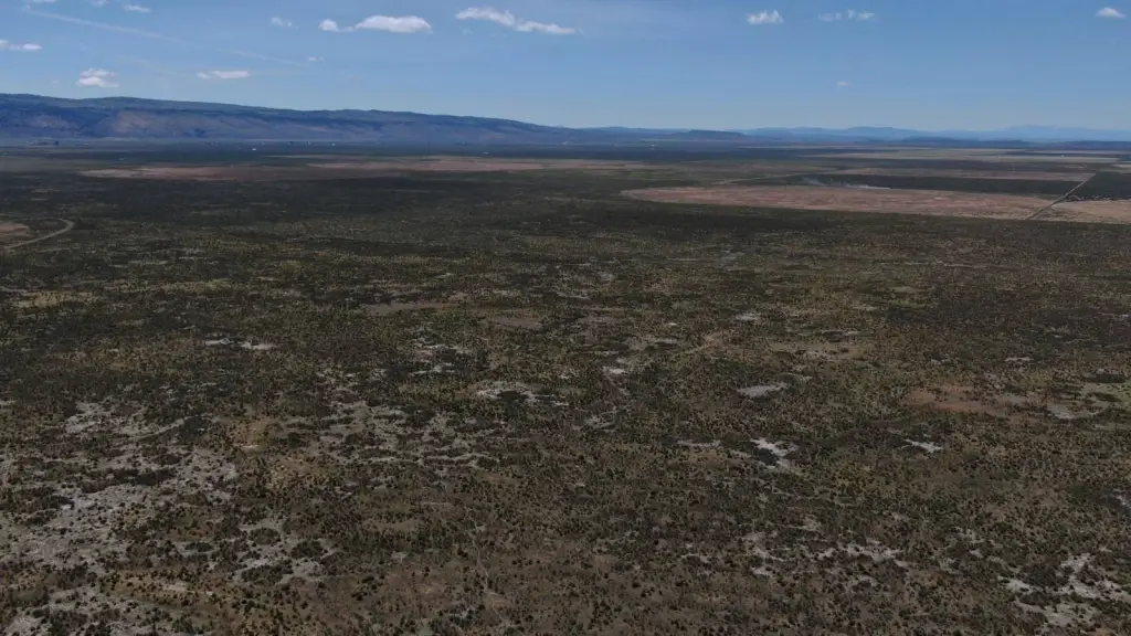
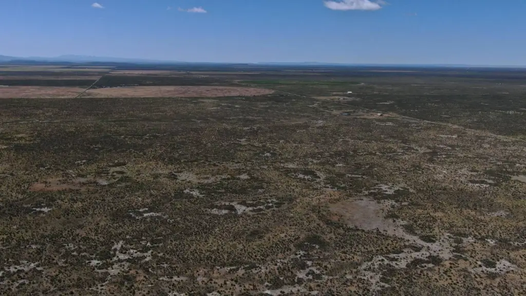
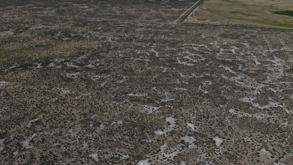
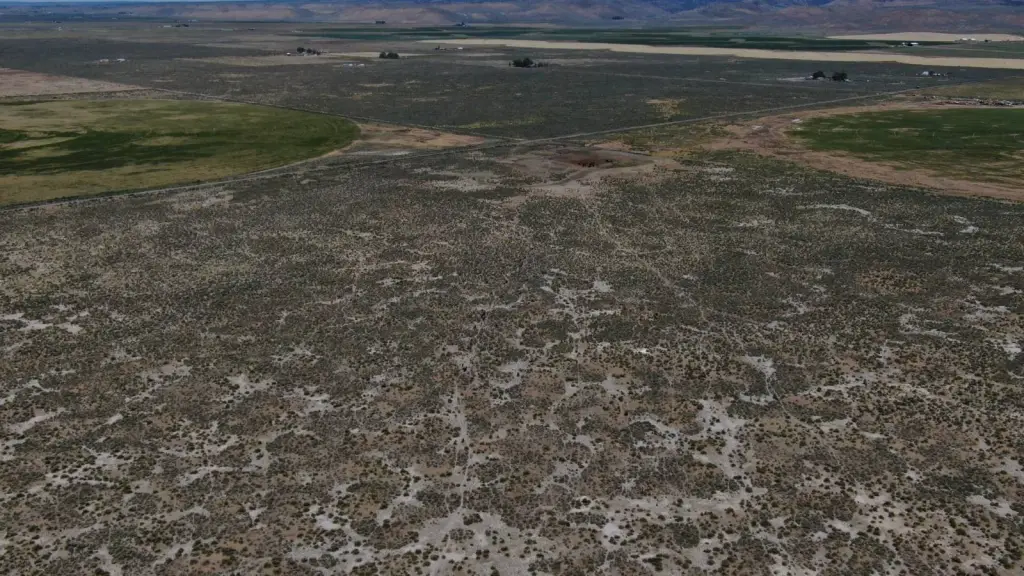
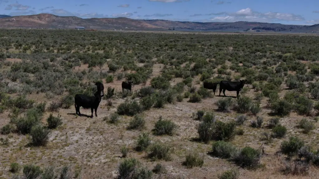
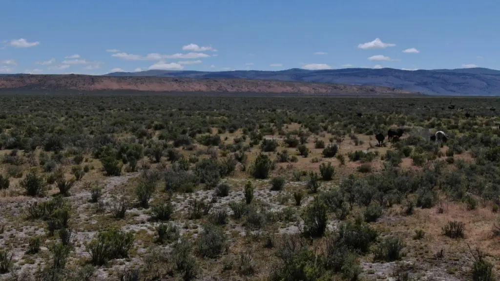
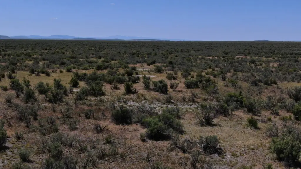
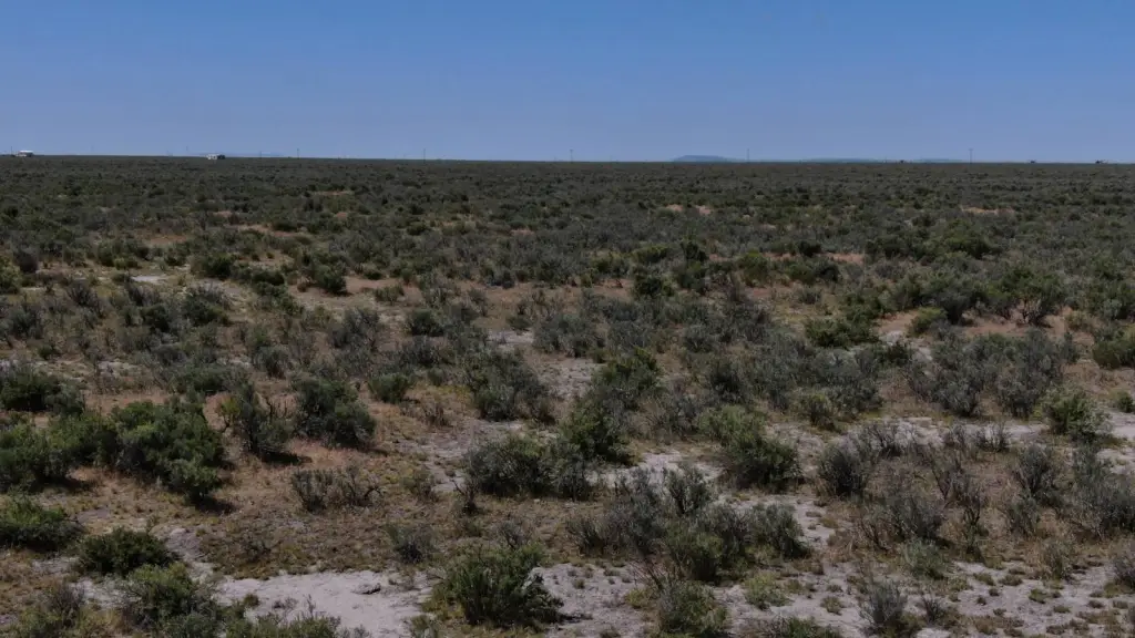
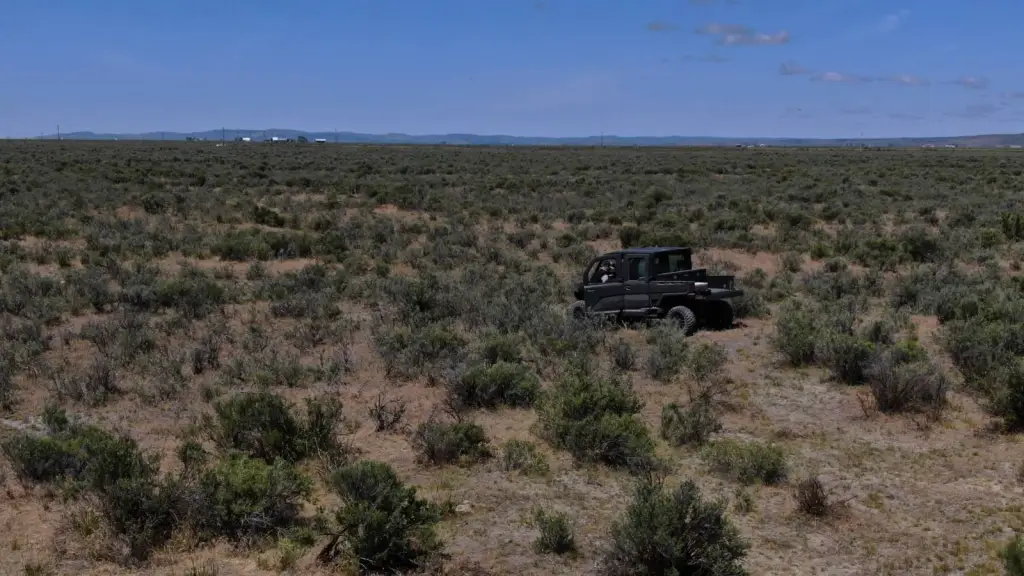
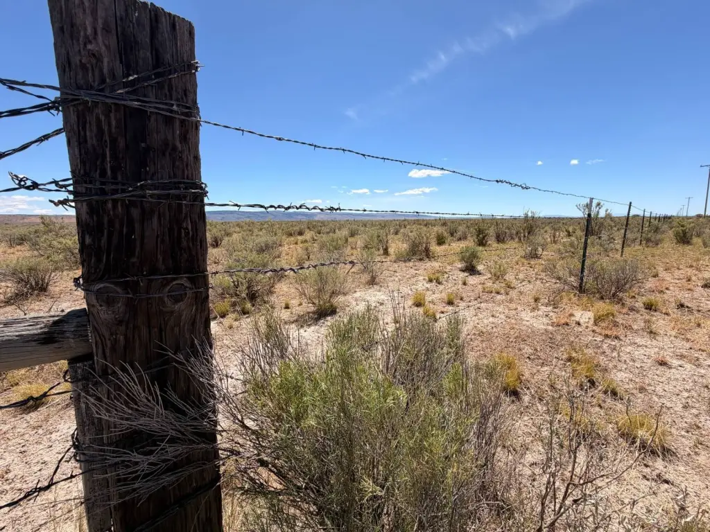
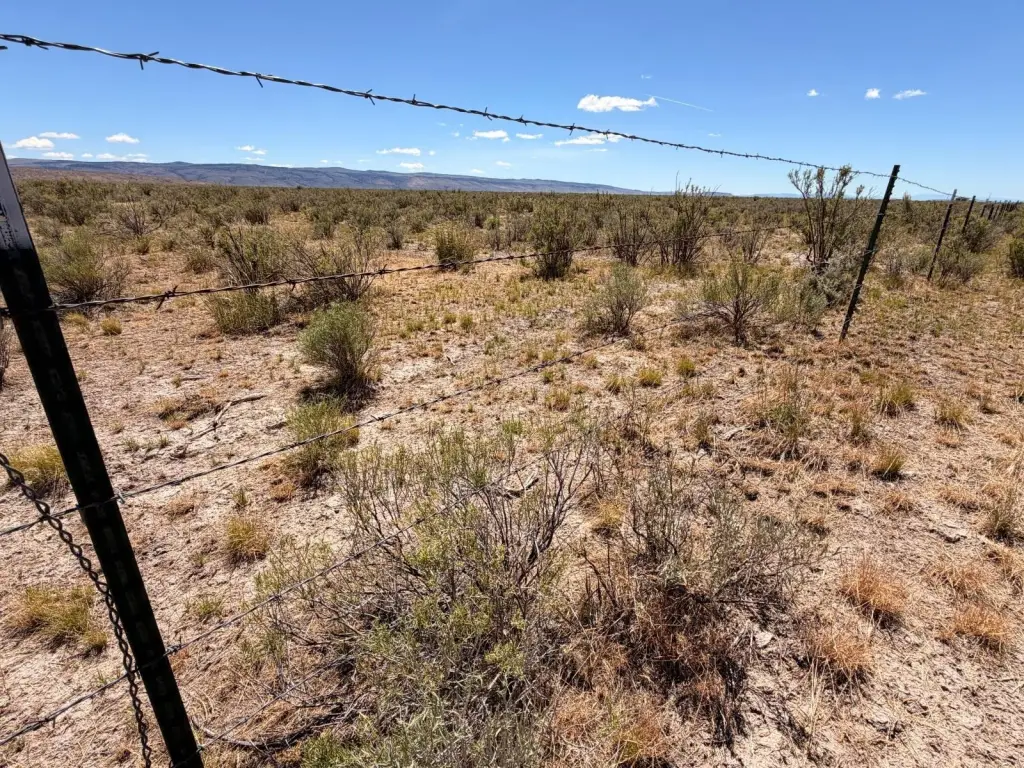
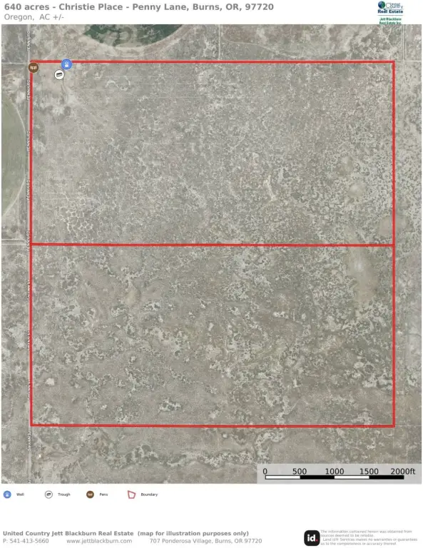
- 640‑acre eastern Oregon grazing land known as the Christie Place
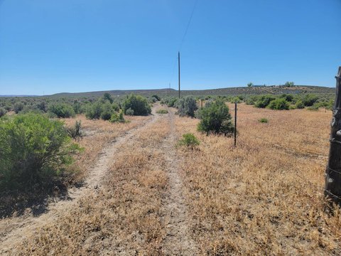
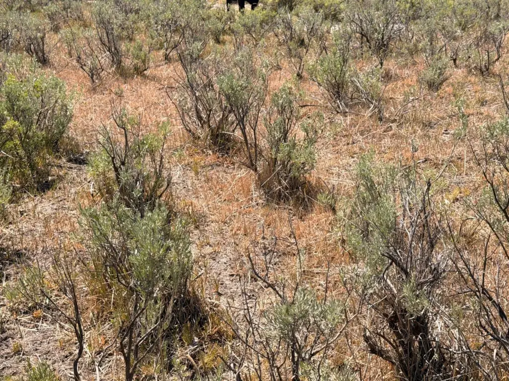
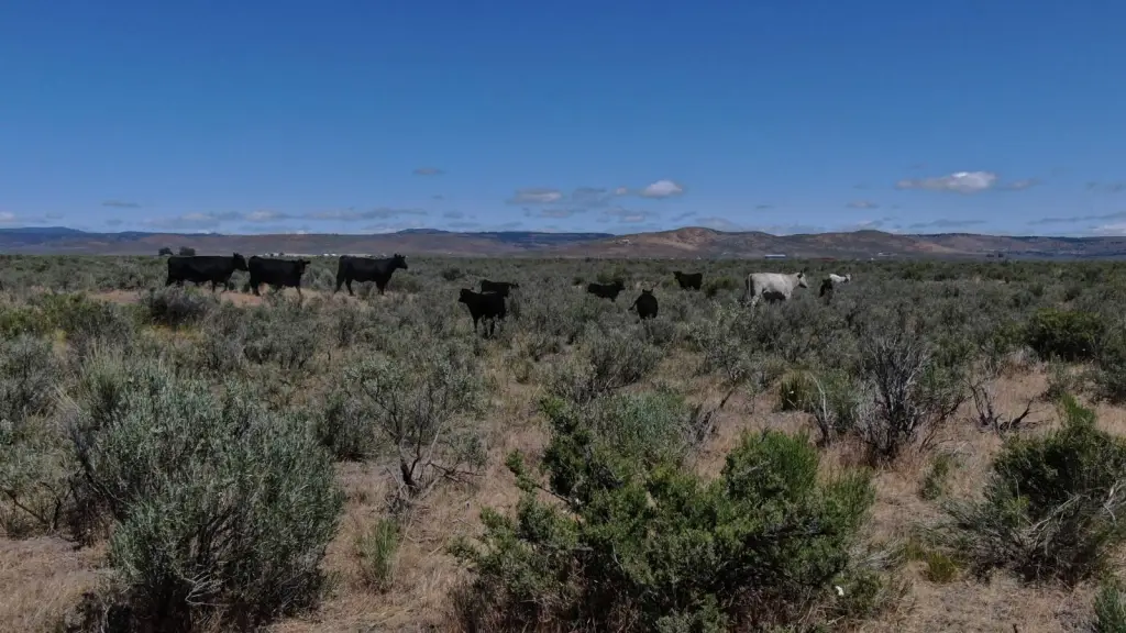
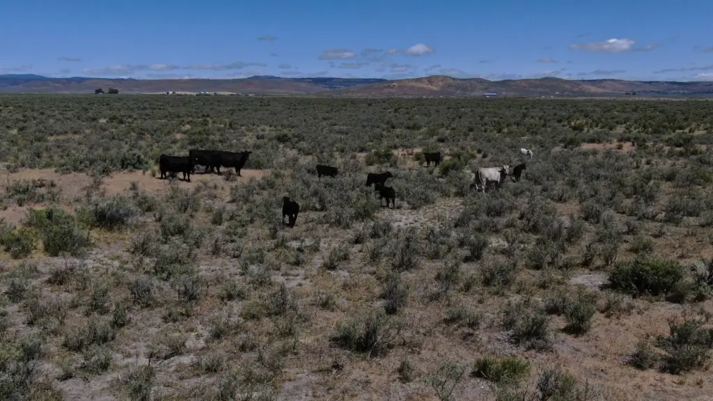
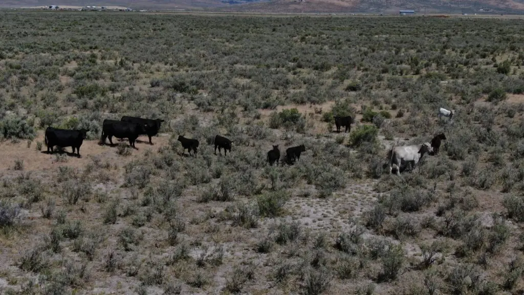
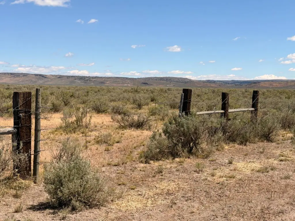
- Fully perimeter‑fenced with barbed‑wire fencing and rangeland mix including sagebrush, greasewood, bunchgrass, and cheatgrass
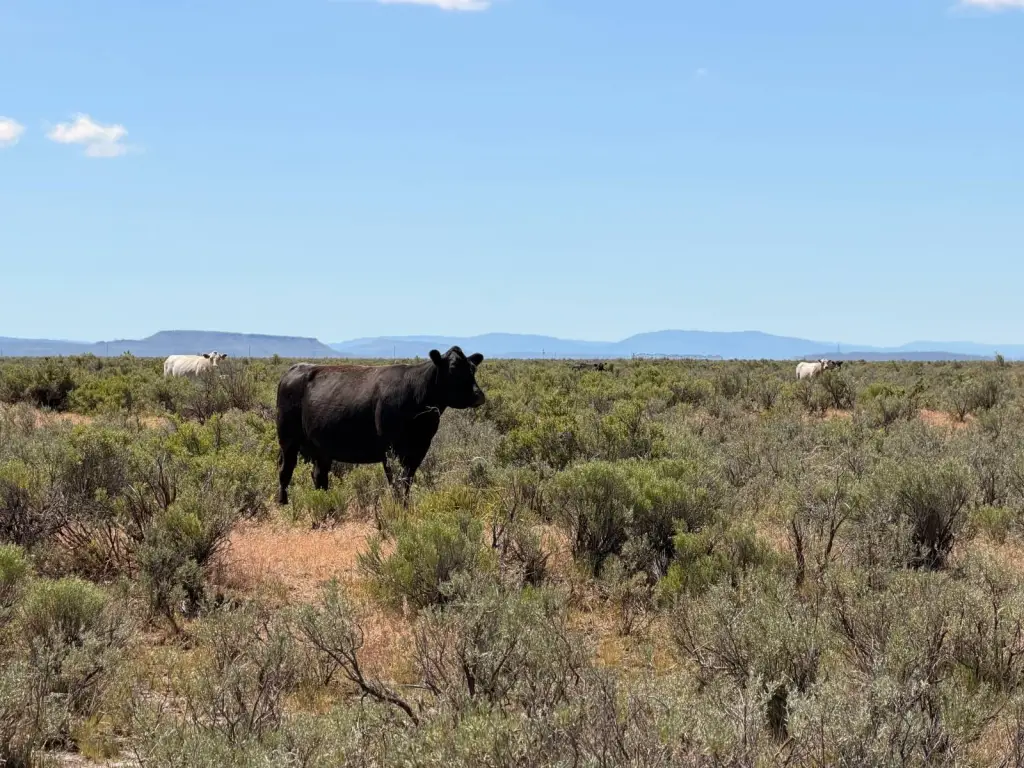
- Historically grazed about 50 cow‑calf pairs (+/-) annually from May 1 through November 1 (weather dependent)
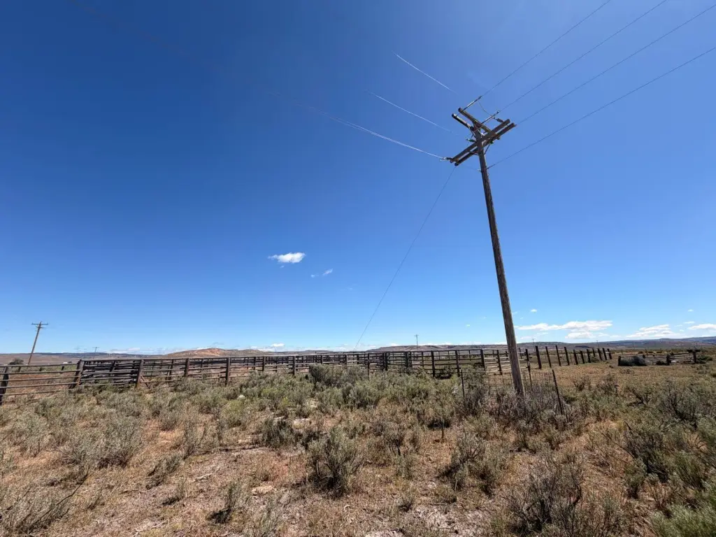
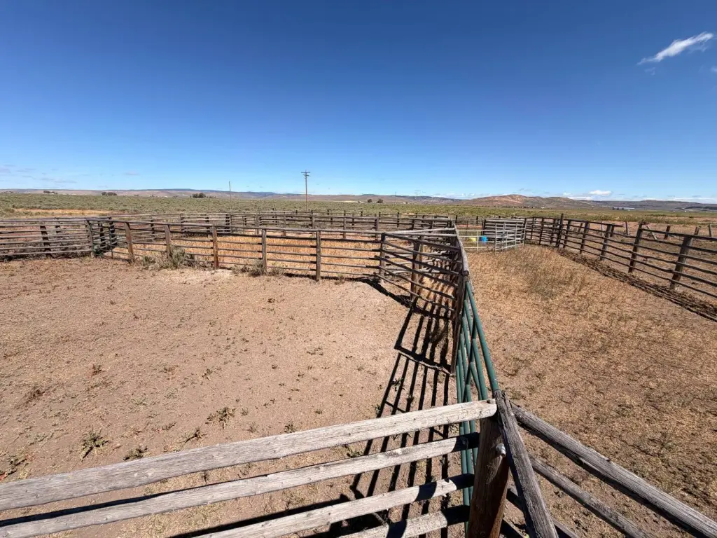
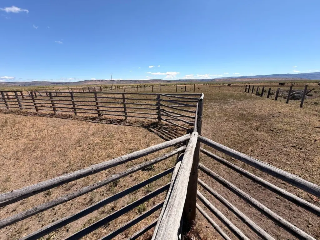
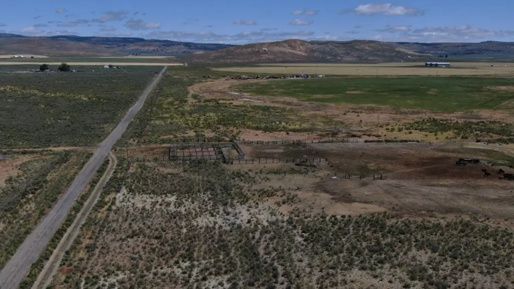
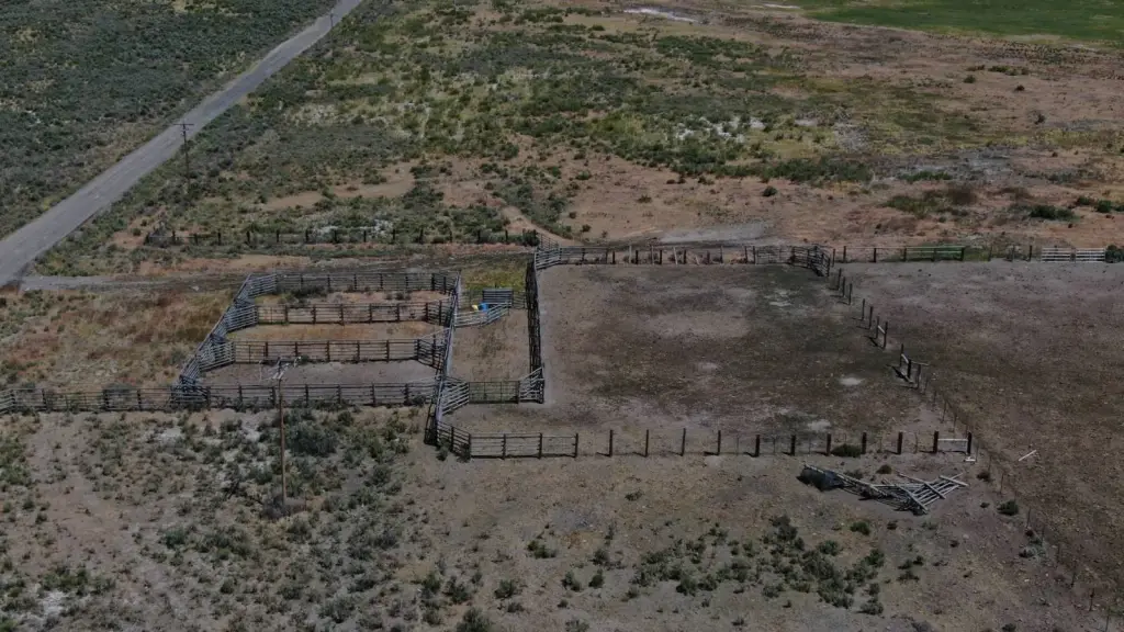
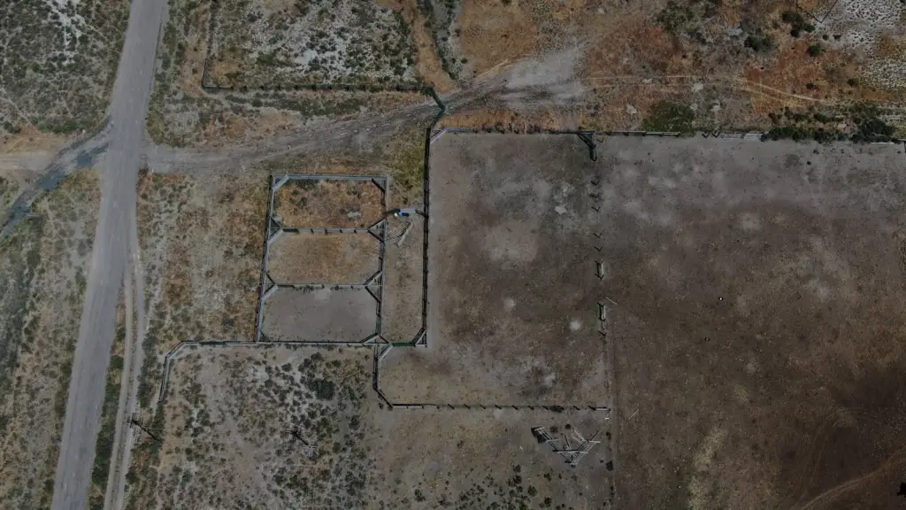
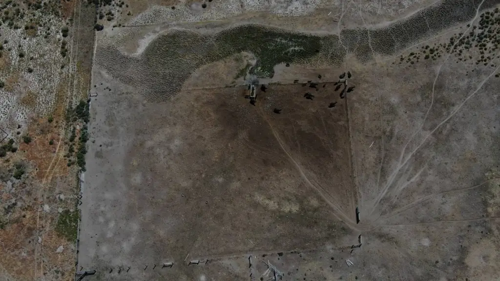
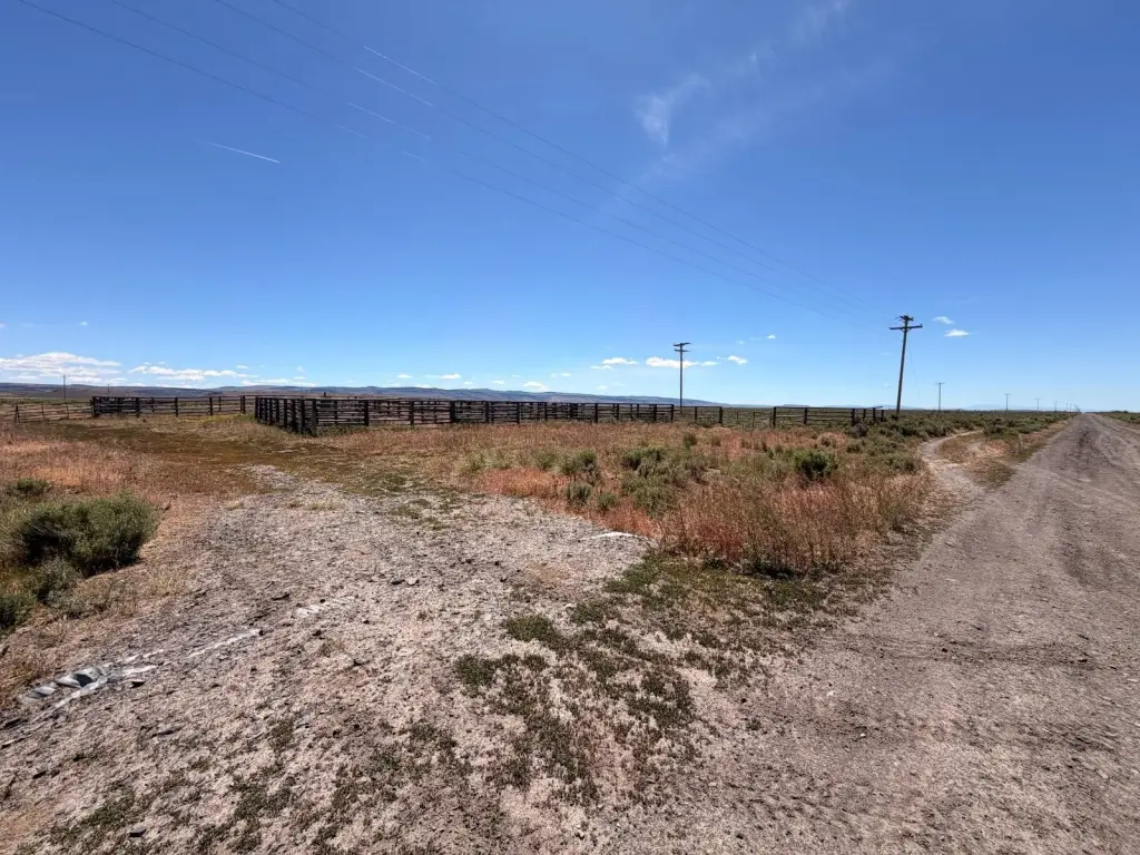
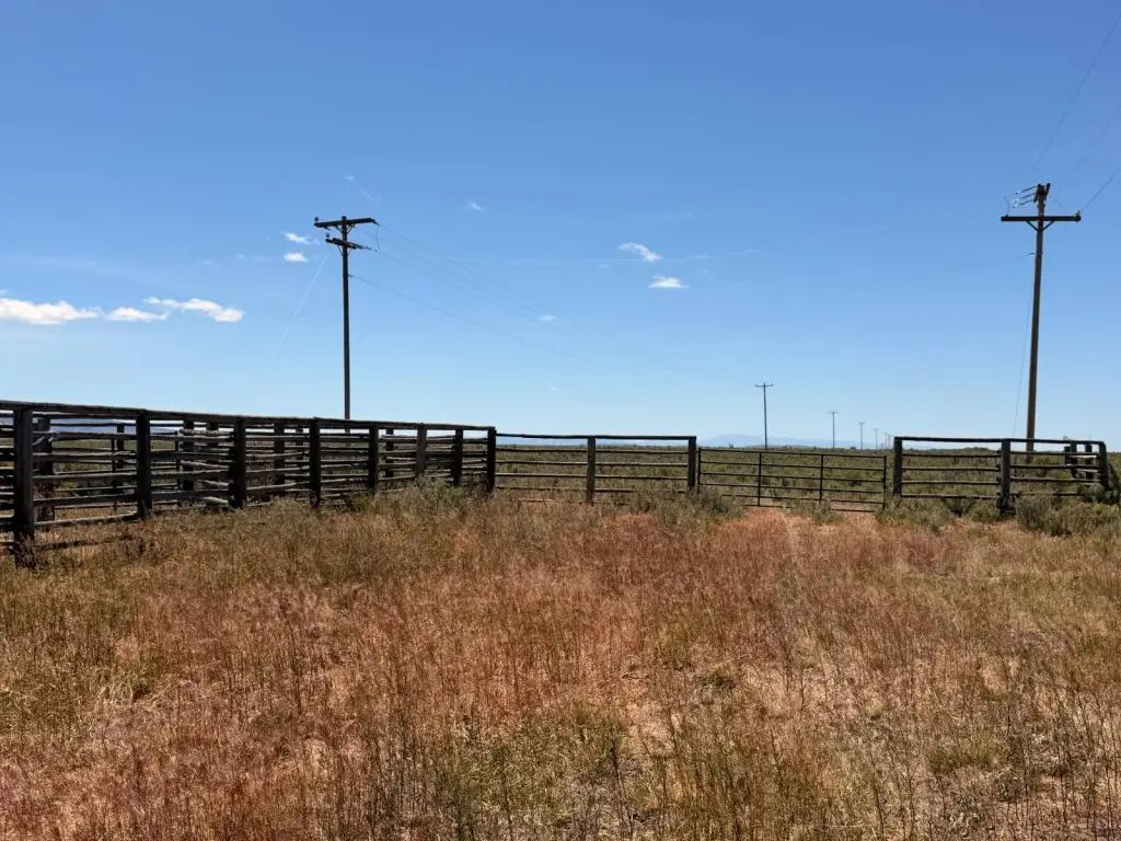
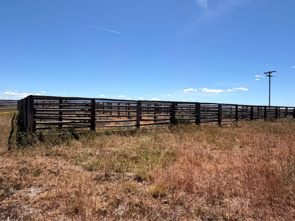
- Livestock infrastructure includes a post‑and‑pole catch pen and corral system with durable metal gates (no loading chute noted)
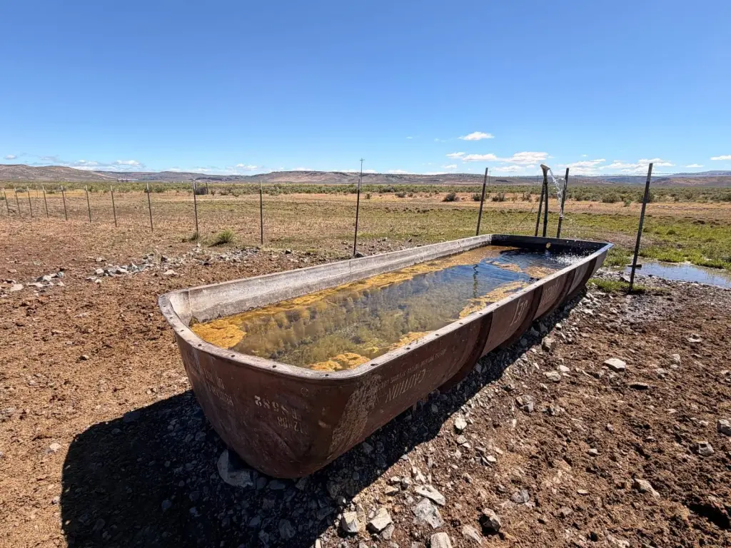
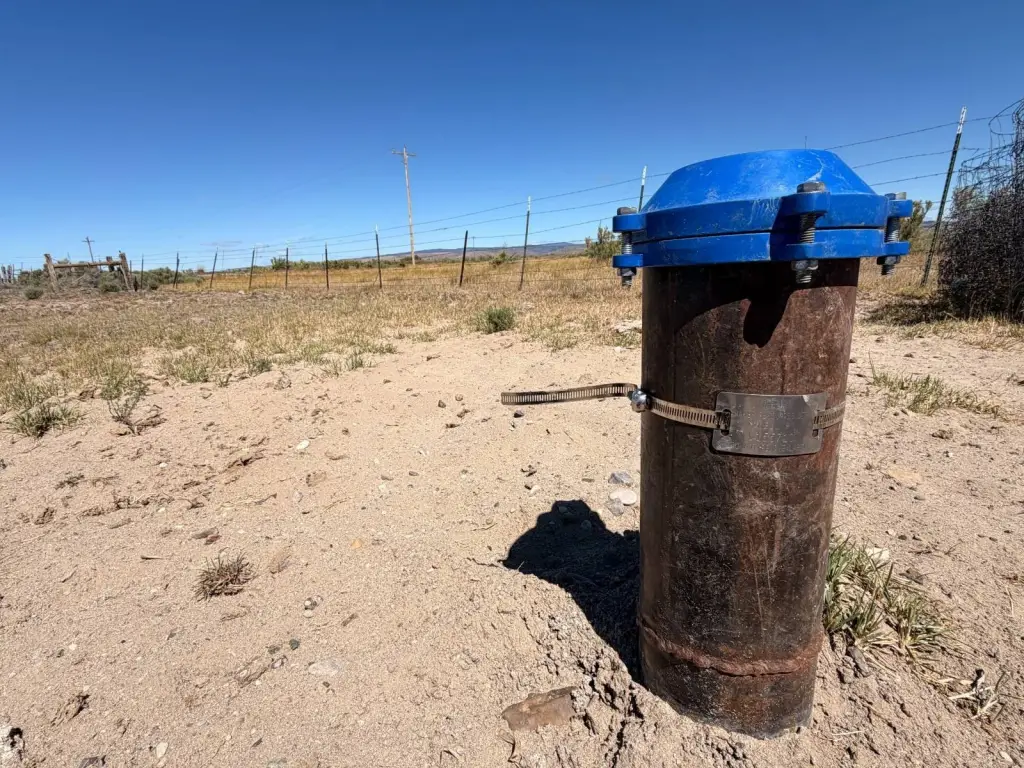
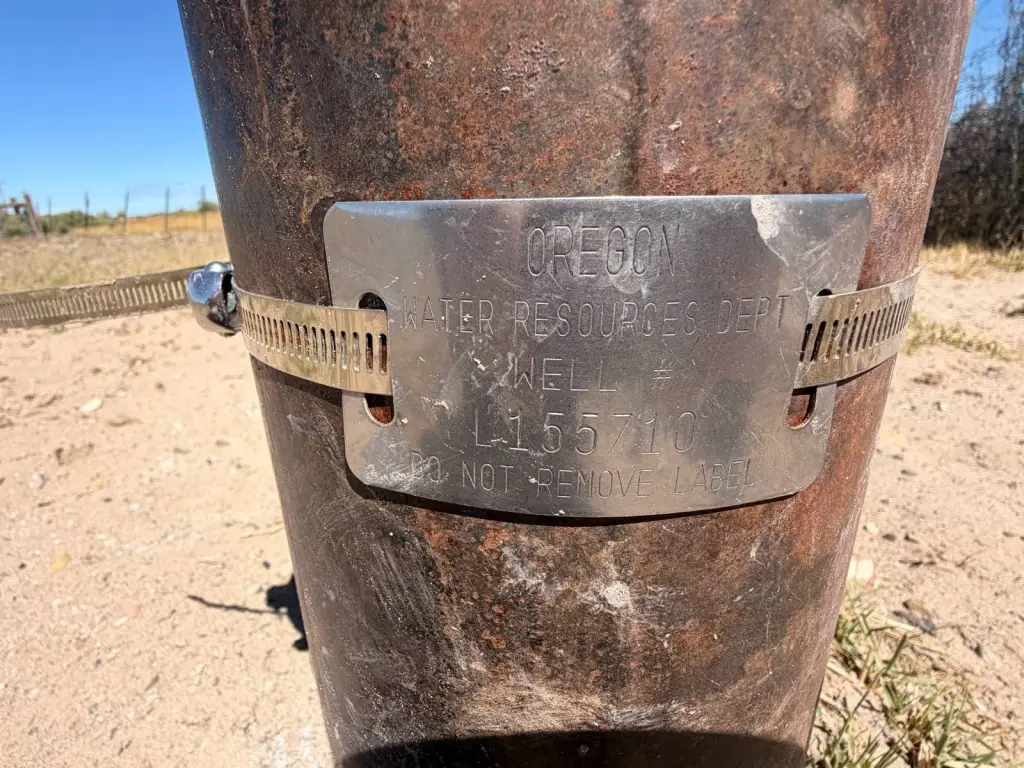
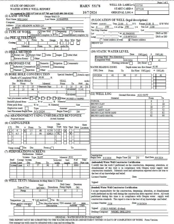
- Livestock water at the catch pen and a new livestock well drilled in 2024; power brought to the property but new well not yet pumped/electrified (water currently from a neighboring well)
- Access via Penny Lane: initial portion can be challenging, then becomes a good gravel road to the ranch improvements and acreage
Overview
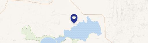
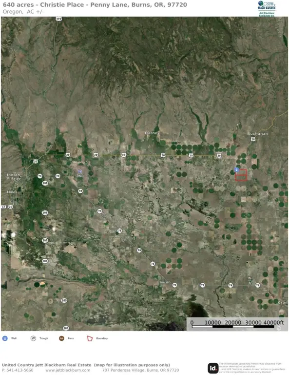
The land is located approximately 27 miles east of Burns, Oregon, and about 1.3 miles south of Highway 20. Access is provided via Penny Lane, where the initial portion of the road can be somewhat challenging before transitioning into a good gravel road leading toward the ranch improvements and grazing acreage.
For livestock operators seeking additional seasonal grazing, this large, contiguous block of fenced rangeland includes established livestock infrastructure intended for managing cattle during the May 1 through November 1 seasonal window, weather dependent. It is positioned as an expansion option for those looking to add grazing capacity while maintaining workable on-site corral and catch-pen facilities.
Current Use by Public Records
Map
- City
- Burns
- County
- Harney
- State
- Oregon
- Longitude
- -118.668
- Latitude
- 43.593