
11TBD 630th Street, Claremont, MN 55924
- Added:
- Aug 13, 2025
- Days on Market:
- 327
- Last Refresh:
- Jul 5 at 7:06 pm
Property Features for 11TBD 630th Street
General Information
- Property type
- Land
- Property subtype
- Other
- Standard status
- Active
- APN
- 090310100
- Lot size
- 162.75 Acres
Taxes and HOA fees
- Tax Year
- 2024
- Tax Annual Amount
- 460
Utilities
- Utilities
- Electricity Available
Listing agent Mark Nelson License #9249194 (651) 226-3444
Listing office Timber Ghost Realty, LLC 2559 E 7th Avenue, North St Paul, MN (651) 770-7600
Listing date Aug 13, 2025
Copyright © 2026 Northstar MLS. All rights reserved. All information provided by the listing agent/broker is deemed reliable but is not guaranteed and should be independently verified.
HighLights
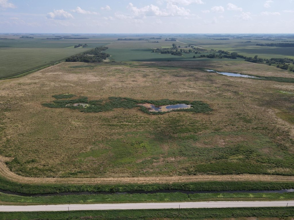
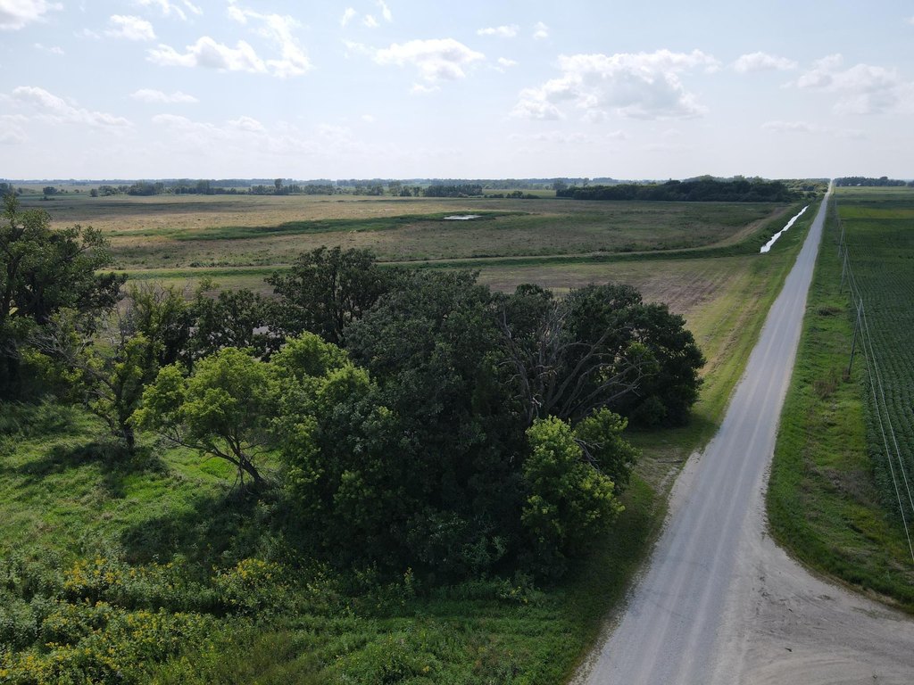
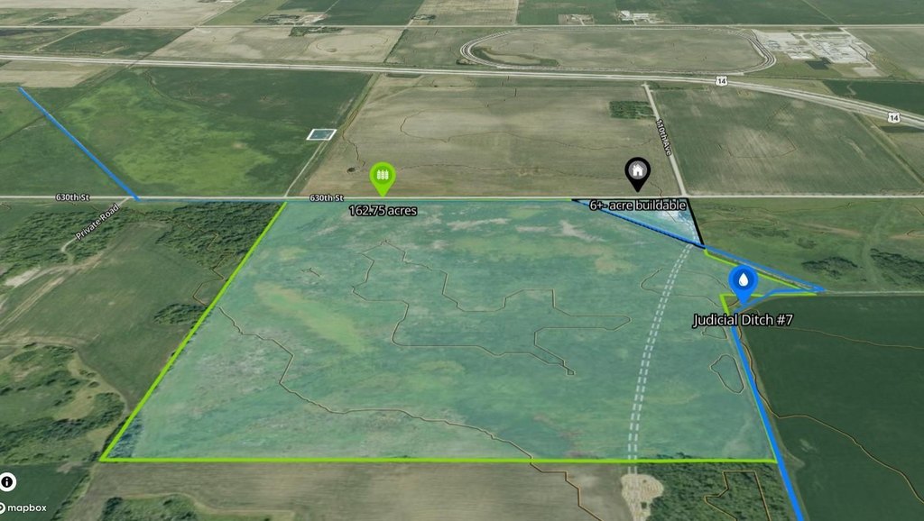
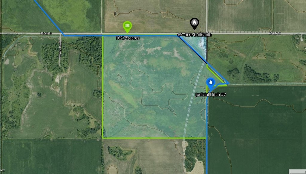
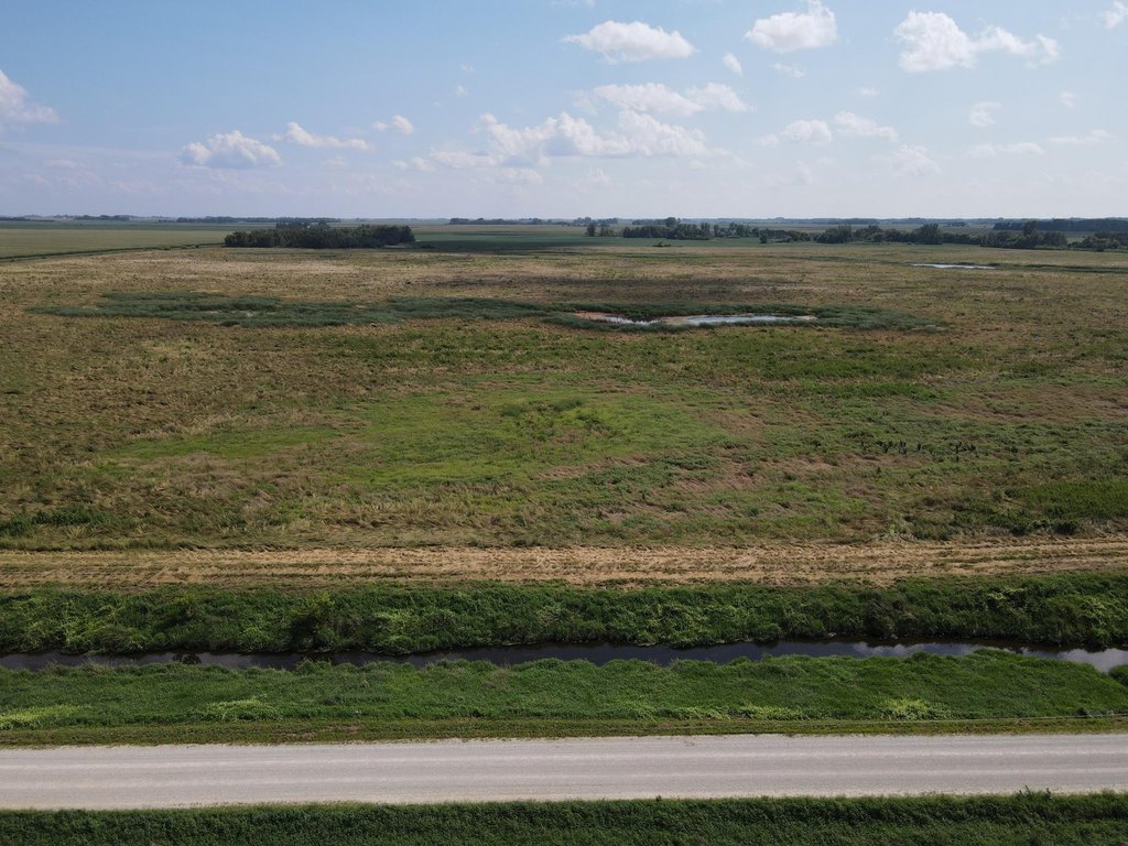
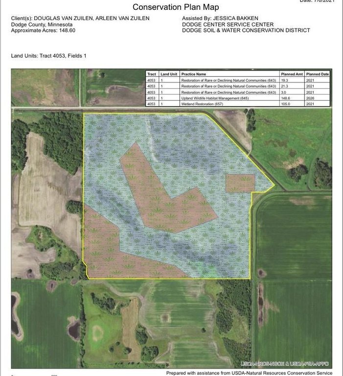
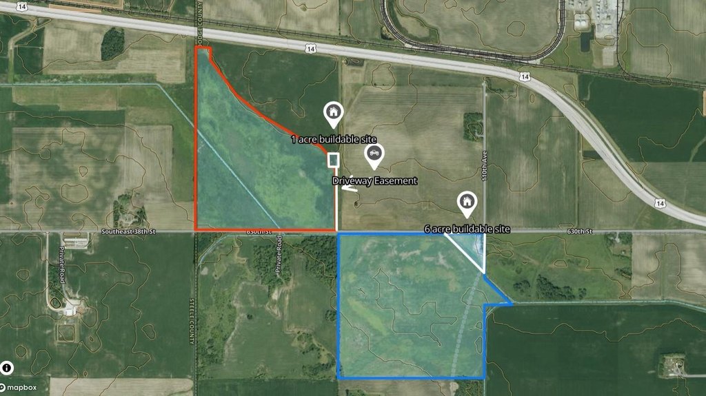
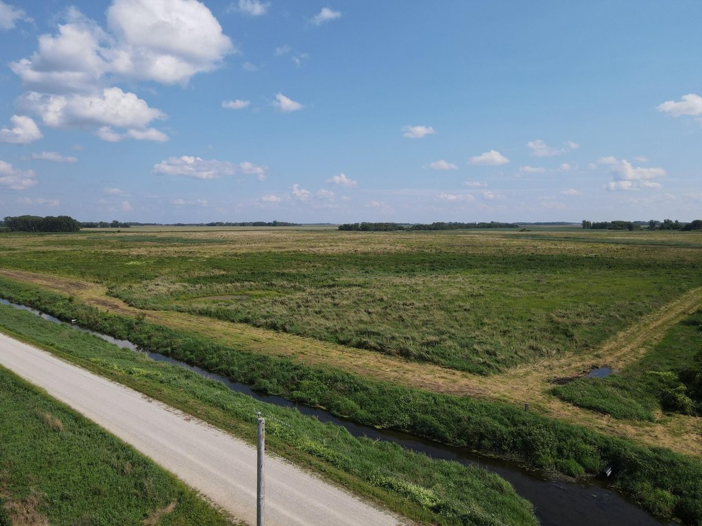
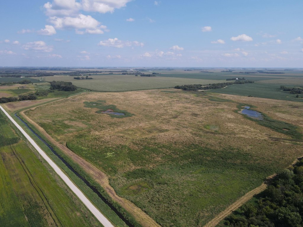
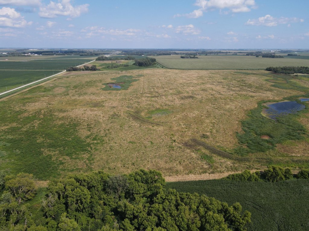
- 162.75‑acre Dodge County tract with income, hunting, and a potential building site.
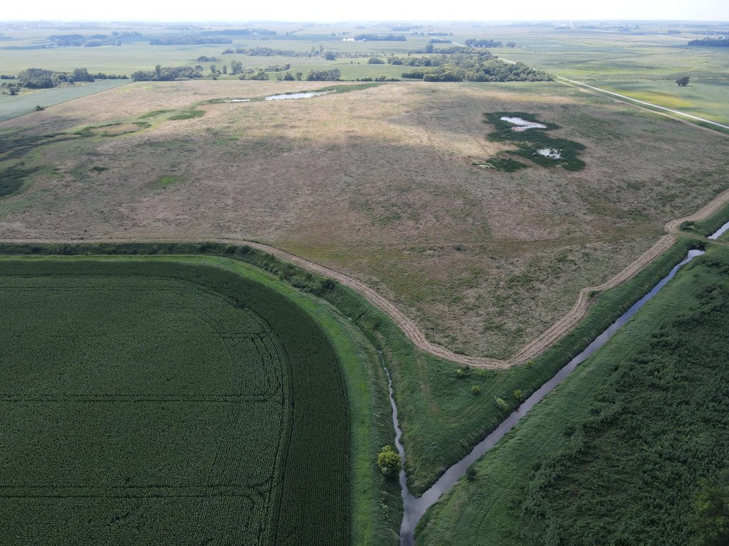
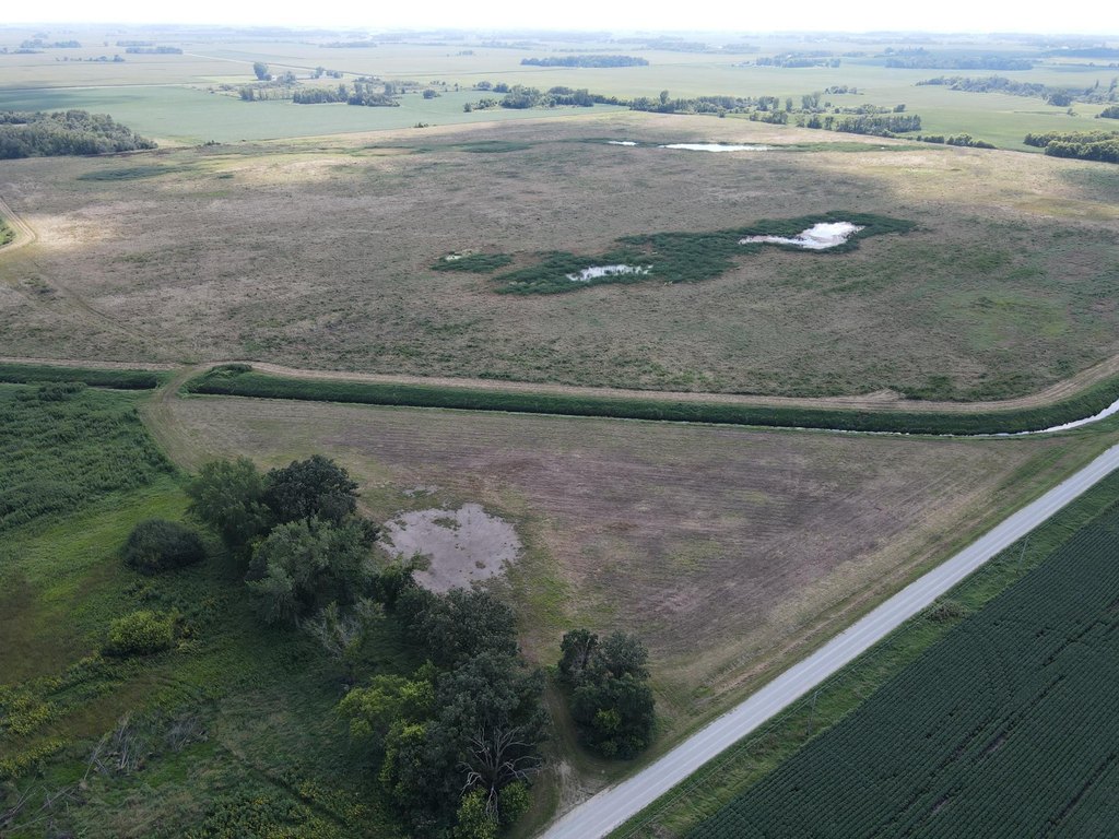
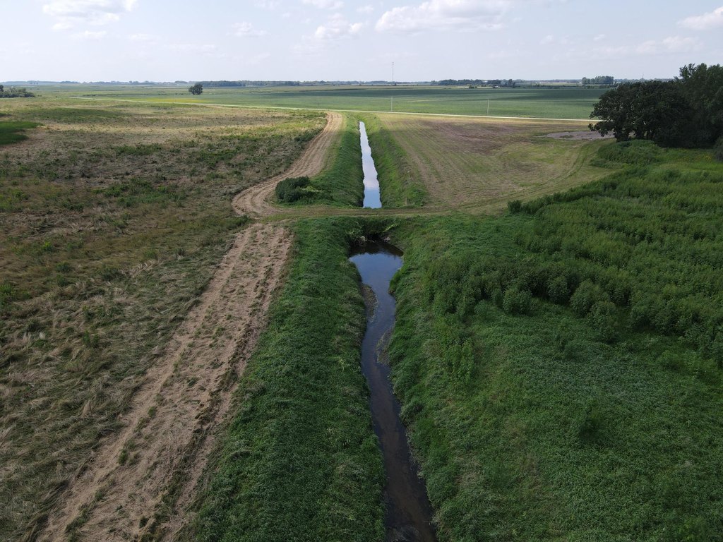
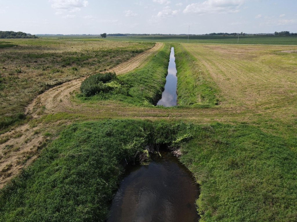
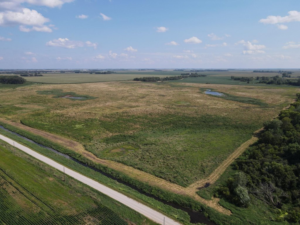
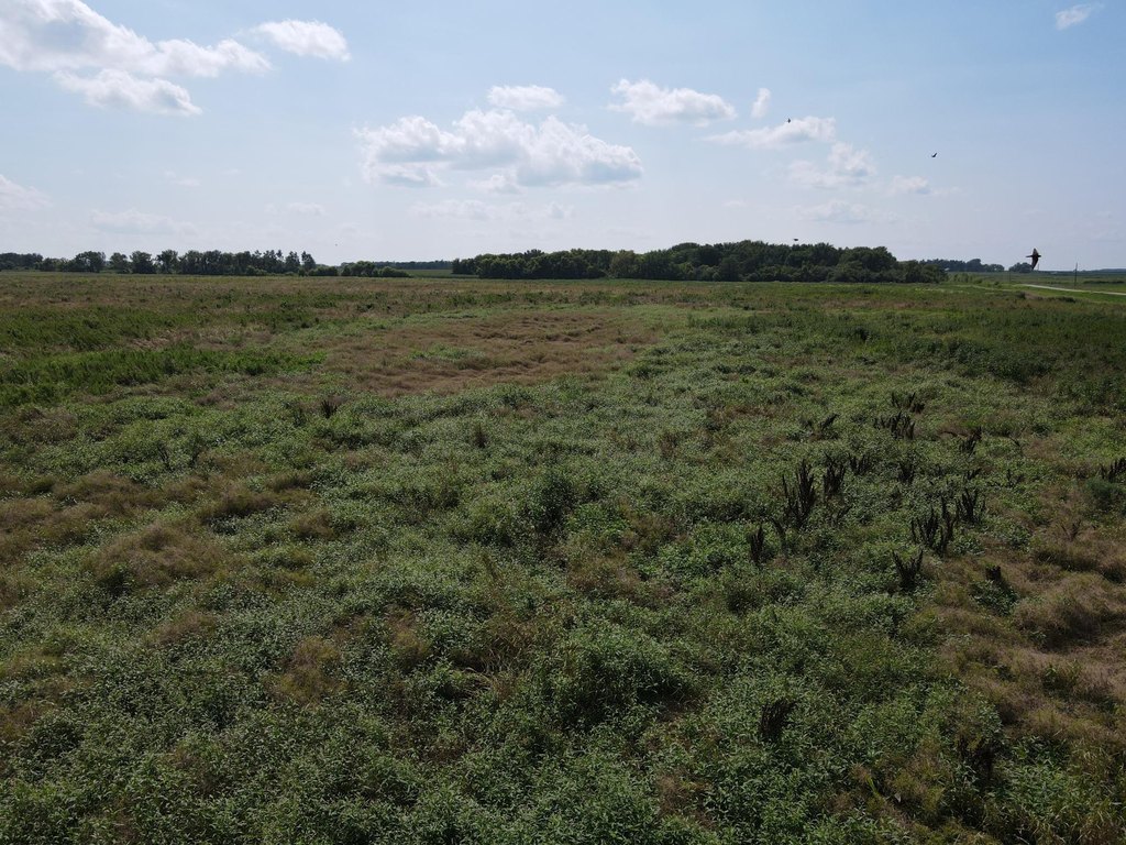
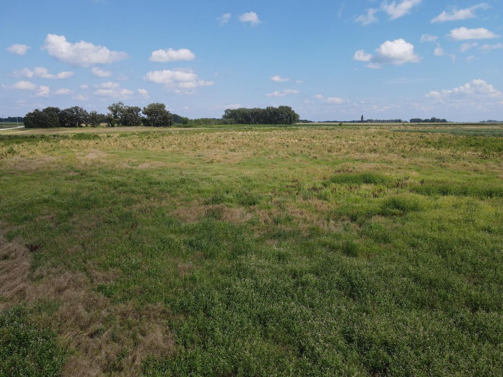
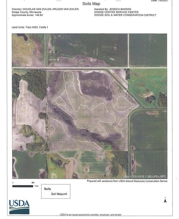
- 155+/- acres enrolled in RIM and CREP programs with a conservation plan for grassland and wetland management plus native prairie restoration.
- CREP contract pays $48,864 annually through 2035 and includes over $537,000 in remaining payments to the future owner.
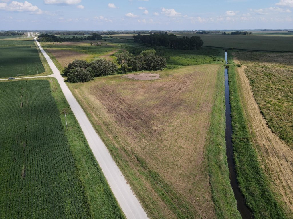
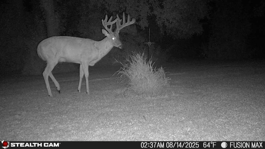
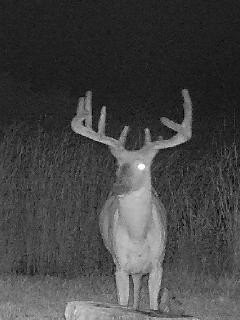
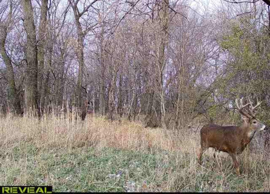
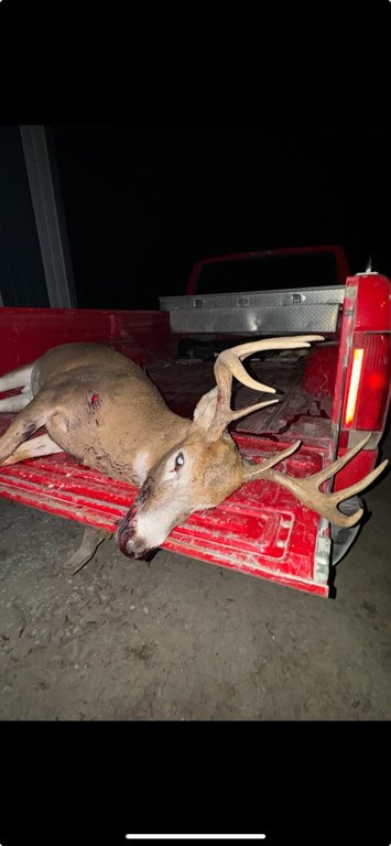
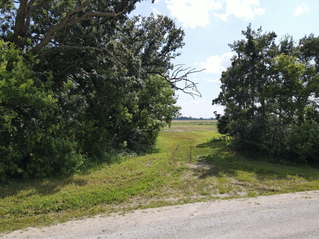
- County Judicial Ditch #7 runs along the north and east borders, supporting habitat diversity.
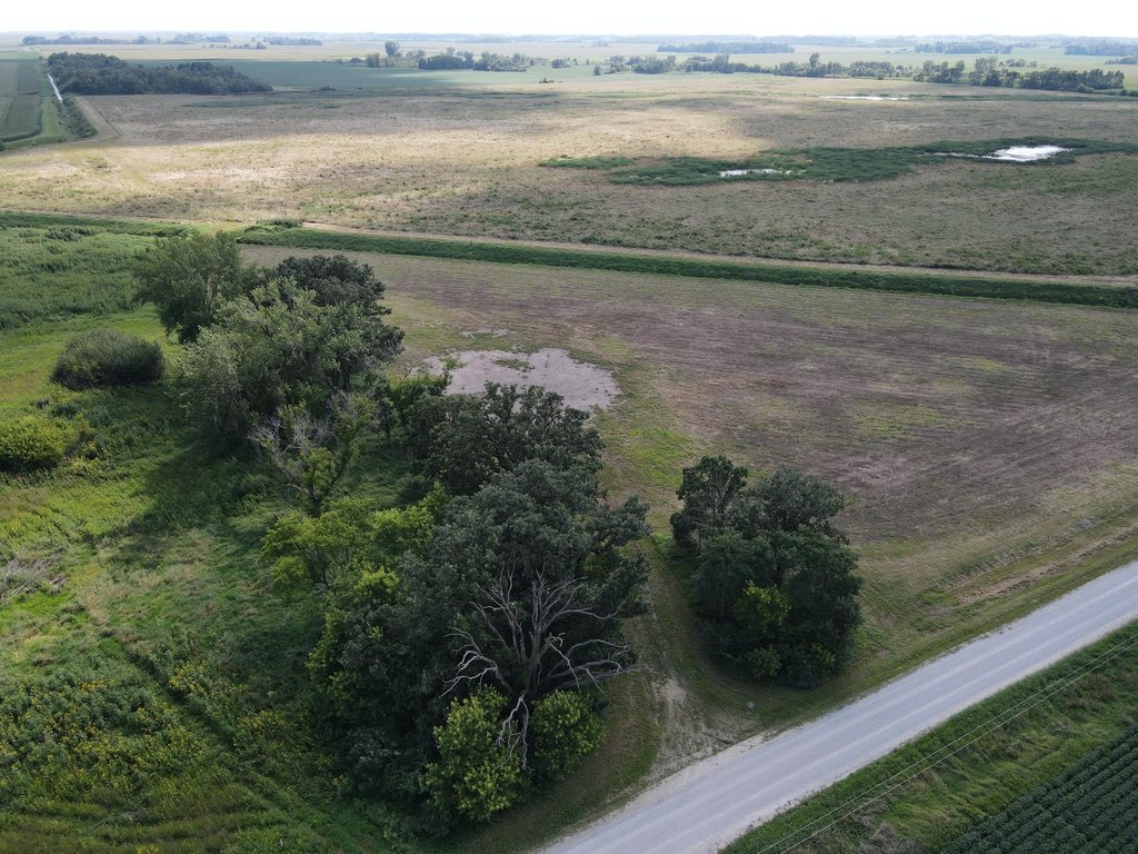
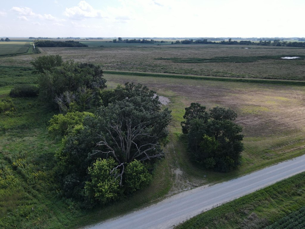
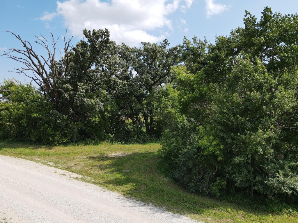
- Northeast corner includes a 6+/- acre potential building site framed by mature oak trees.
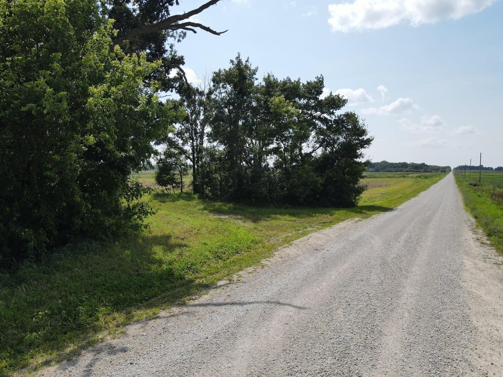
- No covenants or deed restrictions reported; electricity available at the road.
Overview
Located just outside Claremont in Dodge County, Minnesota, the land is described as less than 1.5 hours from the Twin Cities Metro. The northeast corner includes a 6+/- acre potential building site framed by massive old oak trees. Public remarks indicate there are no covenants or deed restrictions, and utilities are available at the road.
For buyers looking for income-producing land tied to ongoing conservation programs, the CREP contract is stated to pay $48,864 annually through 2035, with over $537,000 in remaining payments to the future owner. For recreation-oriented buyers, the mix of managed grasslands, wetlands, and the bordering ditch supports a hunting property use, while the northeast corner configuration provides space for a future home or hunting cabin without deed restrictions.
Current Use by Public Records
Map
- City
- Claremont
- County
- Dodge
- State
- Minnesota
- Longitude
- -93.030386
- Latitude
- 44.034131


