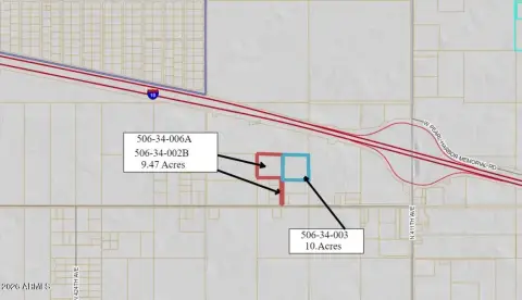
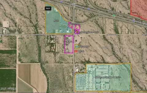
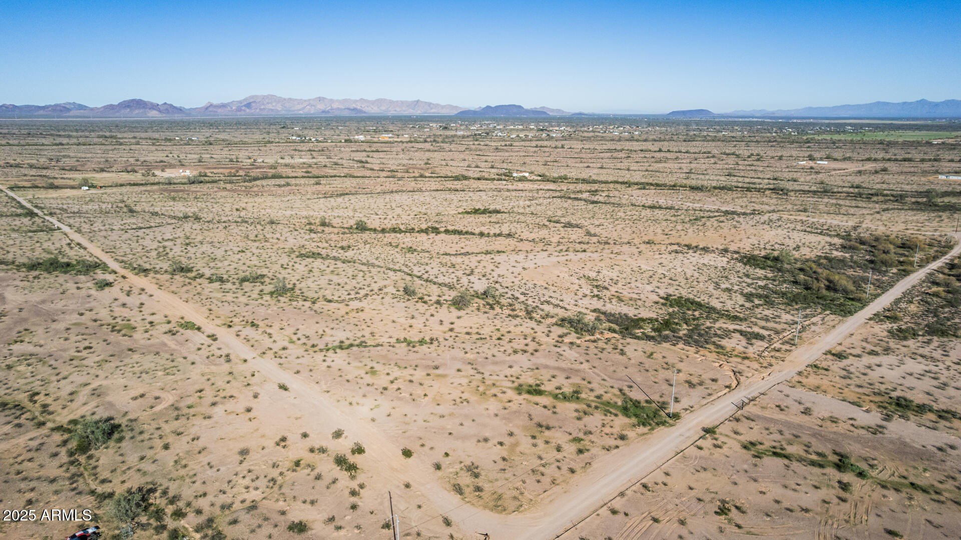
SEC 339th Ave & Roosevelt St, Tonopah, AZ
Land with immediate I-10 access suitable for various uses.
- Added:
- May 17, 2023
- Days on Market:
- 1116
- Last Refresh:
- May 20 at 9:44 pm
Property Features for SEC 339th Ave & Roosevelt St
General Information
- Standard status
- Active
- Lot size
- 75.00 Acres
- Property subtype
- LAND
Listing agent Scott Truitt License #BR515918000 (602) 622-9099
Listing office Western Land Company LLC (602) 622-9099
Listing date May 17, 2023
Source Moodyscre
Displayed information is deemed reliable but is not guaranteed and should be independently verified.
All listing content including descriptions, pricing, images are the copyrighted material of Western Land Company LLC
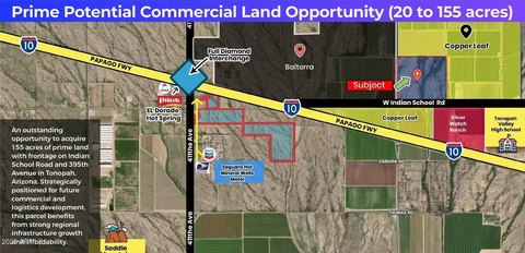
HighLights
- Immediate access off I‑10 (Exit 103).
- Located within an Arizona Opportunity Zone.
- Suitable for various uses: distribution, manufacturing, RV park, travel center, and more.
- Located at the 339th Avenue traffic interchange.
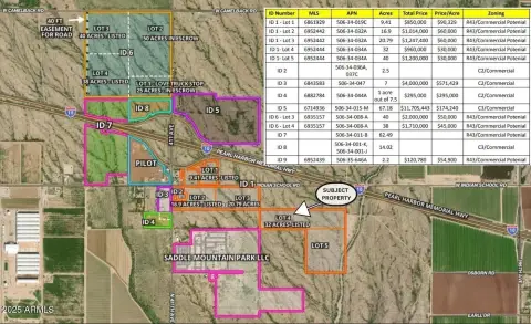
Overview
Current Use by Public Records
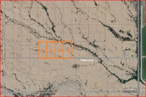
Map
- City
- Tonopah
- County
- Maricopa
- State
- Arizona
- Longitude
- -112.937
- Latitude
- 33.4935