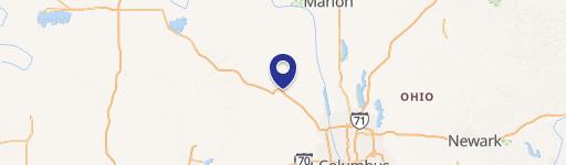
Cook's Pointe Blvd, Marysville, OH
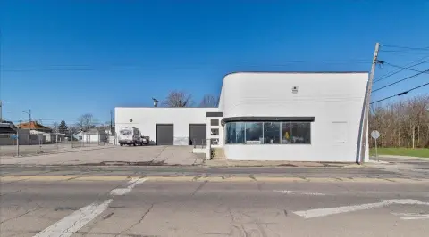
Land with US 33 freeway visibility, retail/office/service uses.
- Added:
- Jul 24, 2024
- Days on Market:
- 694
- Last Refresh:
- May 20 at 9:53 pm
Property Features for Cook's Pointe Blvd
General Information
- Standard status
- Active
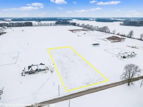
- Lot size
- 19.25 Acres
- Property subtype
- LAND
Listing agent John Royer, SIOR (614) 228-2471
Listing office Kohr Royer Griffith, Inc. (614) 228-2471
Listing date Jul 24, 2024
Source Moodyscre
Displayed information is deemed reliable but is not guaranteed and should be independently verified.
All listing content including descriptions, pricing, images are the copyrighted material of Kohr Royer Griffith, Inc.
HighLights
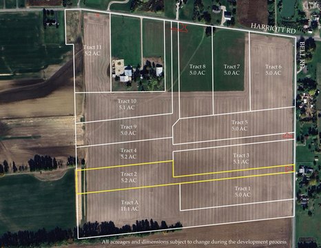
- US 33 freeway visibility sites
- Interchange land SR 33, SR 31 and SR 4
- Ideal for Retail / Office / Service uses
- New Cooks Pointe Dr connector road between SR 31 and SR 4
- Minimum lot size 1 acre for commercial out lots
Overview
Current Use by Public Records
Map
- City
- Marysville
- County
- Union
- State
- Ohio
- Longitude
- -83.3671
- Latitude
- 40.2365