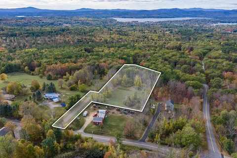
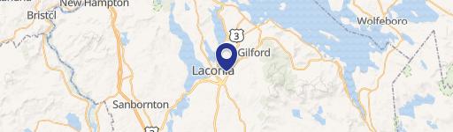
119 Cherry Valley Road, Gilford, NH 03249
- Added:
- Sep 3, 2024
- Days on Market:
- 642
- Last Refresh:
- Jun 6 at 3:06 am
Property Features for 119 Cherry Valley Road
General Information
- Property type
- Land
- Property subtype
- Other
- Zoning
- NRR
- Standard status
- Active
- Lot size
- 1.80 Acres
Taxes and HOA fees
- Tax Year
- 2024
- Tax Annual Amount
- 1088
Utilities
- Utilities
- Cable Available
- Sewer type
- Public Sewer

Listing agent Mark Ashley (603) 569-3128
Listing office Maxfield Real Estate/Center Harbor 319 Whittier Hwy, Suite 2, Wolfeboro, NH (603) 253-9360
Listing date Sep 3, 2024
Copyright © 2026 PrimeMLS. All rights reserved. All information provided by the listing agent/broker is deemed reliable but is not guaranteed and should be independently verified.
HighLights
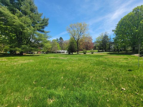
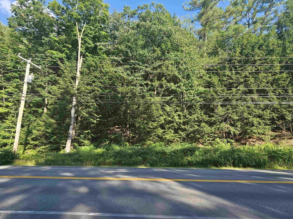
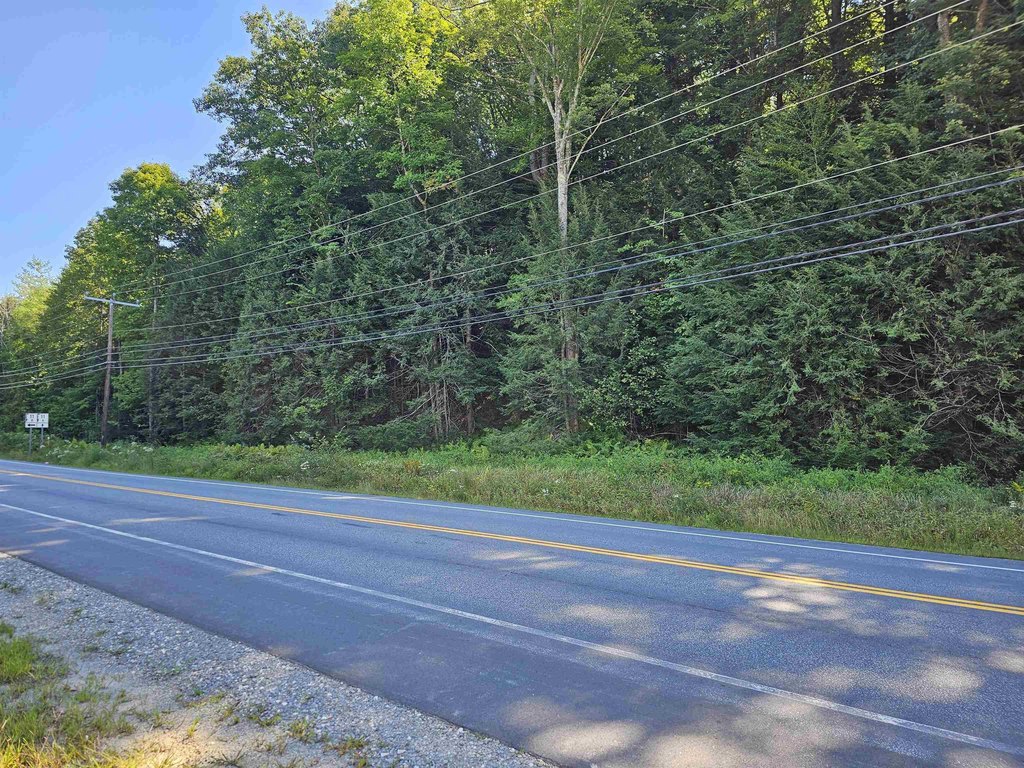
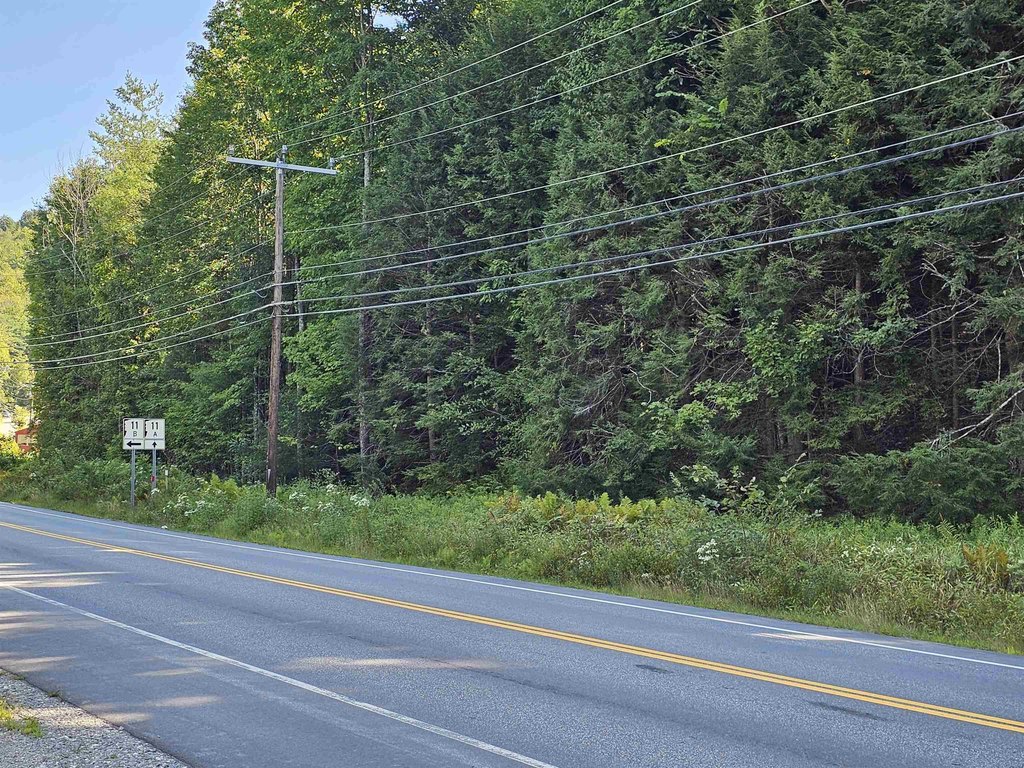
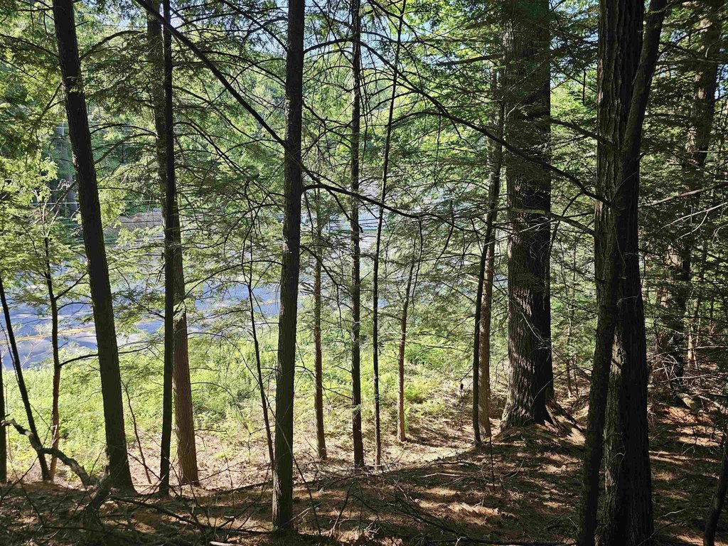
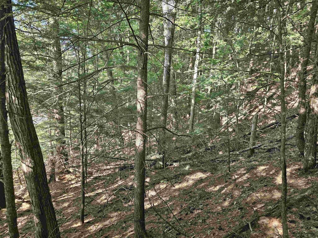
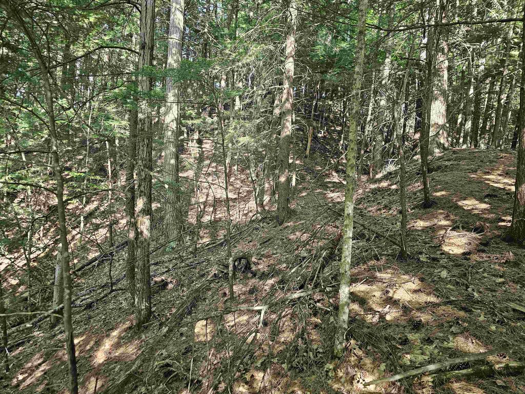
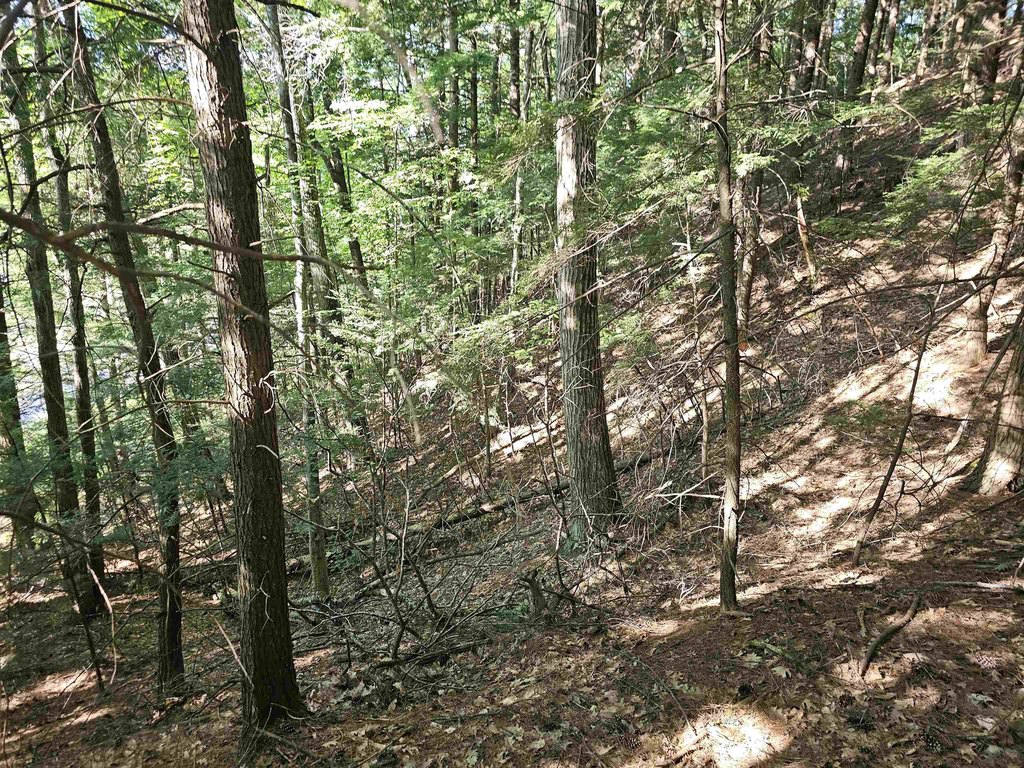
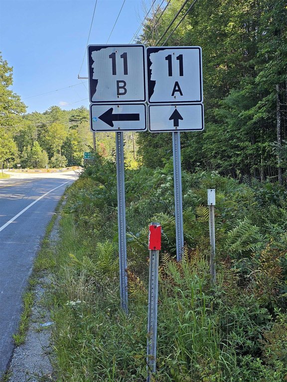
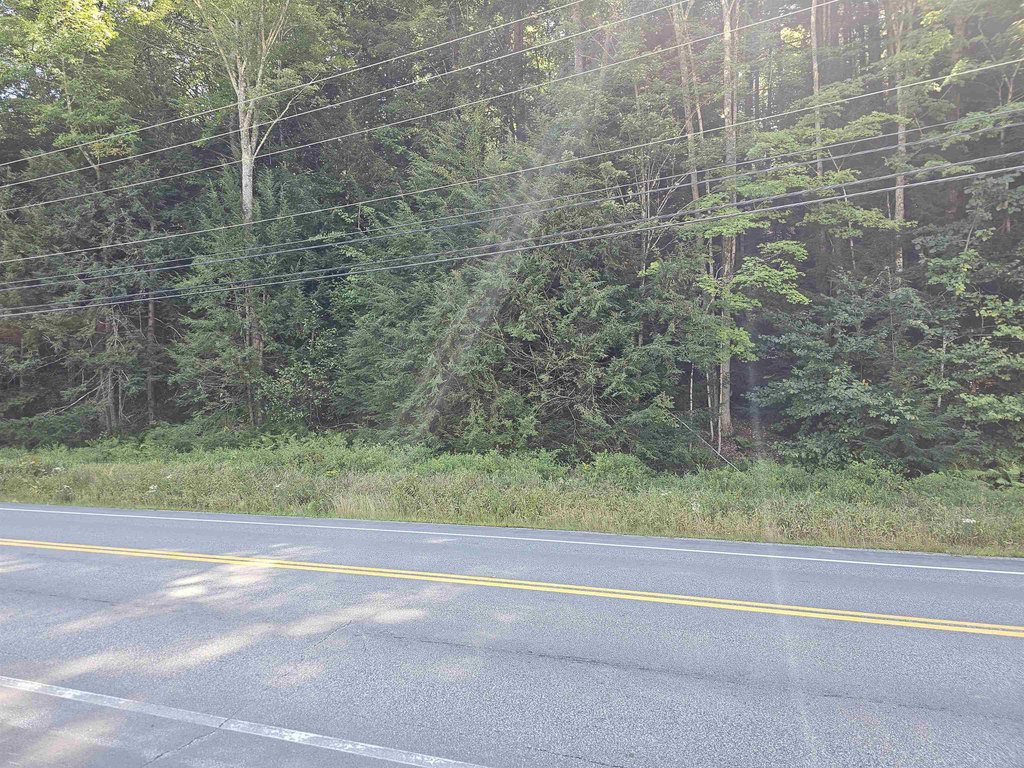
- 1.8‑acre wooded lot with 270 ft of frontage on Cherry Valley Road (Route 11A) in Gilford
- Town sewer, electricity, and internet access available at the street
- Zoned Natural Resource Residential (NRR) allowing single‑family and two‑family residences
- NRR zoning also permits open space uses and some accessory uses
- Cable available; public sewer on site
Overview
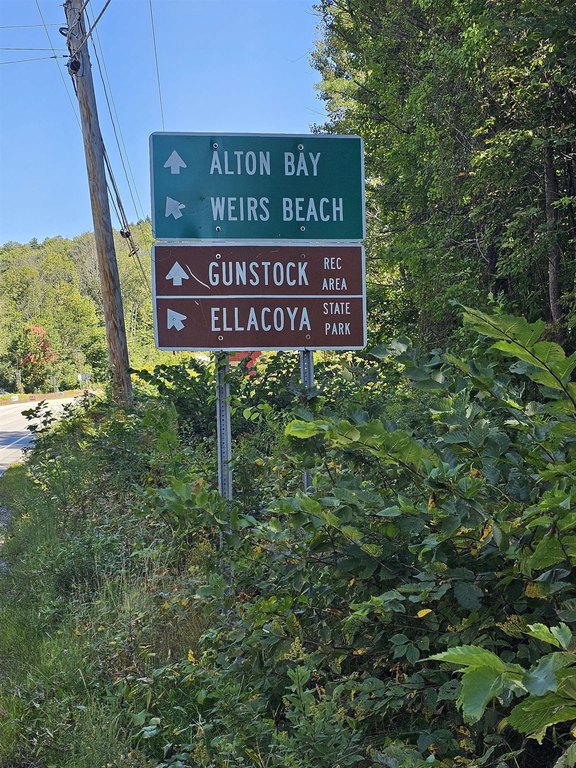
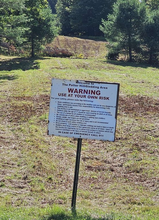
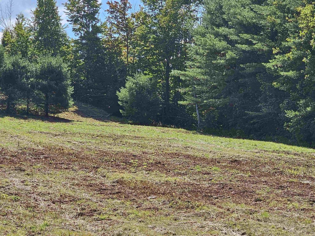
Utilities and services are available at the street, including town sewer, electricity, and internet access. The location is described as convenient to town offices and schools, with Gunstock Mountain Resort nearby. The public remarks also indicate walkable proximity to the Potter Hill Sledding Area next door.
This site is suited for buyers looking to plan a residential build within the NRR framework, particularly where the goal is to work with a wooded setting while retaining zoning flexibility for single- and two-family uses, open space, and certain accessory activities. With sewer, power, and internet available at the street, it supports practical development planning for prospective homeowners or investors considering residential development on a wooded lot.
Current Use by Public Records
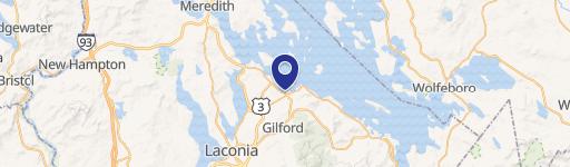
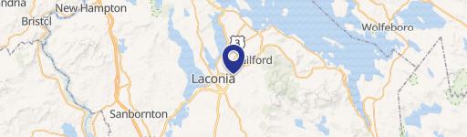
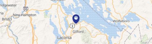
Location Insight
- Map
- Local Demand
- City
- Gilford
- County
- Belknap
- State
- New Hampshire
- Longitude
- -71.39955966
- Latitude
- 43.55462365