11439 Fm 1602 A, Jonesboro, TX 76538
- Added:
- Jun 30, 2026
- Days on Market:
- 1
- Last Refresh:
- Jun 30 at 6:06 pm
Property Features for 11439 Fm 1602 A
General Information
- Property type
- Land
- Property subtype
- Other
- Vegetation
- Brush
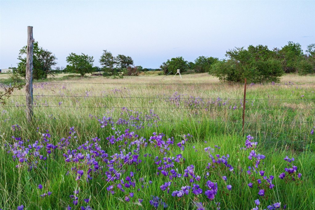
- Fencing
- Fenced
- Standard status
- Active
- APN
- R16103
- Lot size
- 124.00 Acres
Taxes and HOA fees
- Tax Description
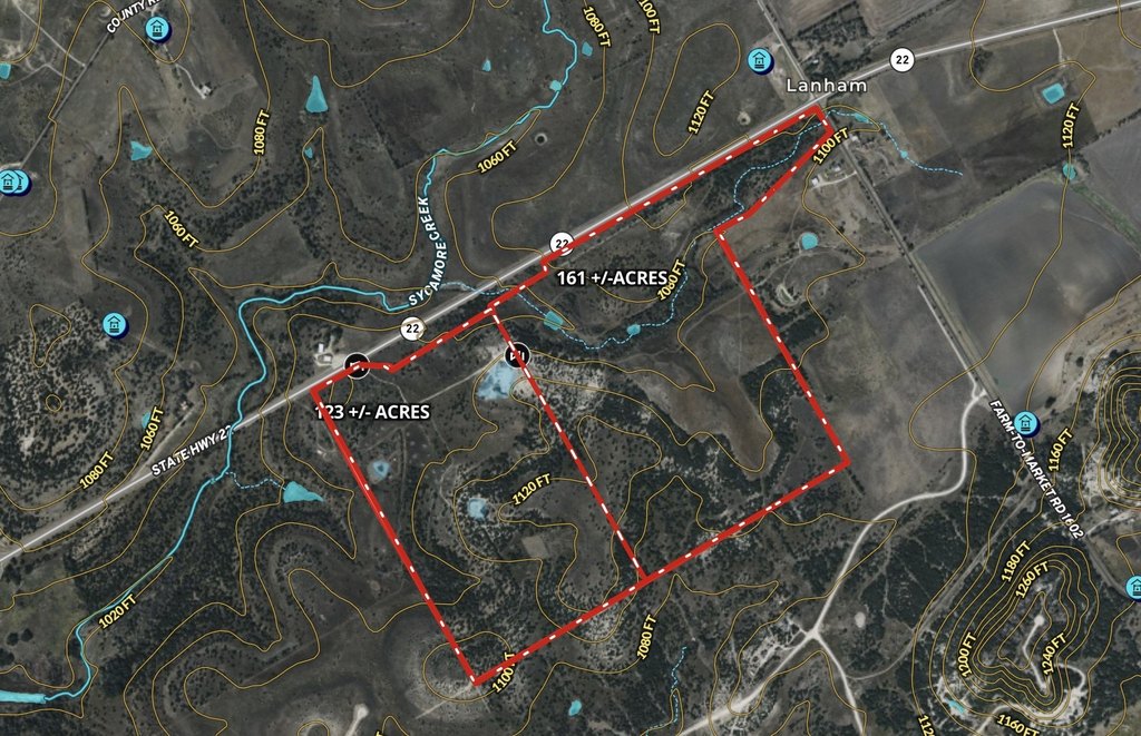
- 864 B C WALTERS; ACRES: 161.52
- Tax Annual Amount
- 163
Listing agent Tai Cobb Klam License #0594871 (254) 253-0157
Listing office COBB RANCH PROPERTIES, LLC Cranfills Gap, TX (254) 253-0157
Listing date Jun 30, 2026
Copyright © 2026 North Texas Real Estate Information Systems, Inc. All rights reserved. All information provided by the listing agent/broker is deemed reliable but is not guaranteed and should be independently verified.
HighLights
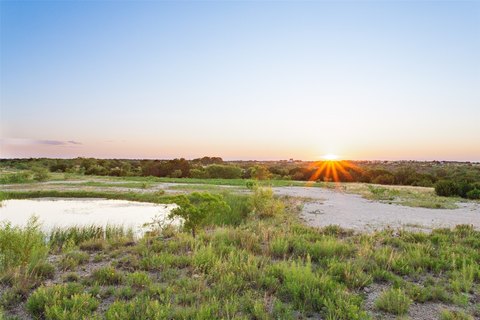
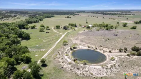
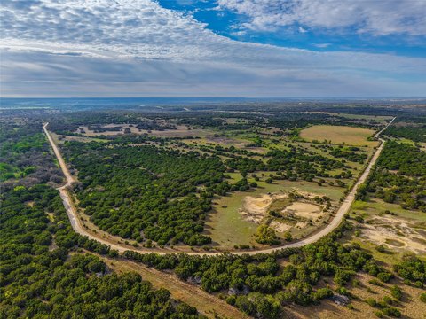
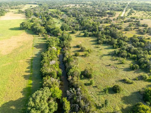
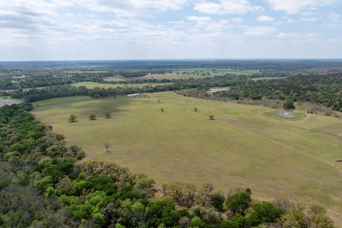
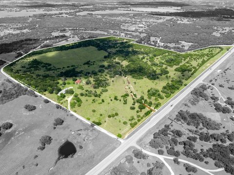
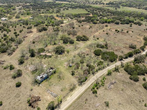
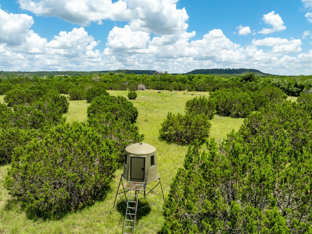
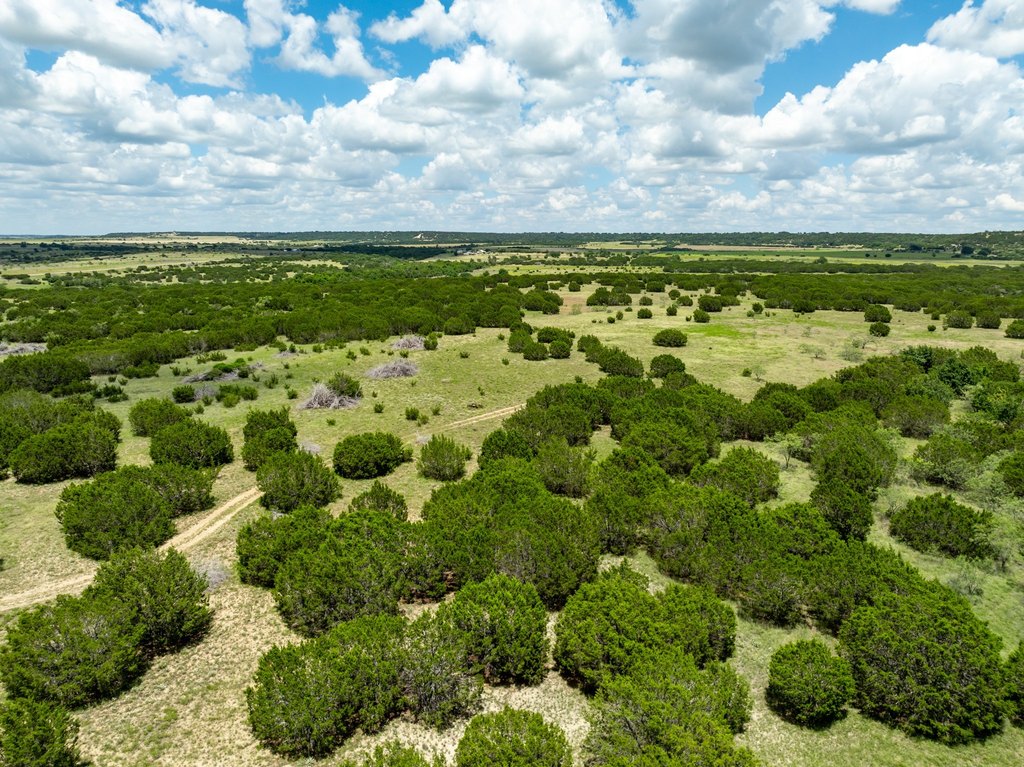
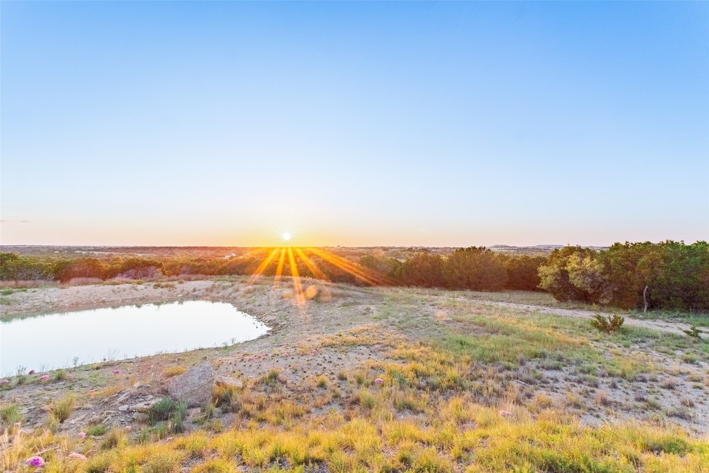
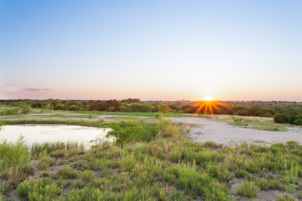
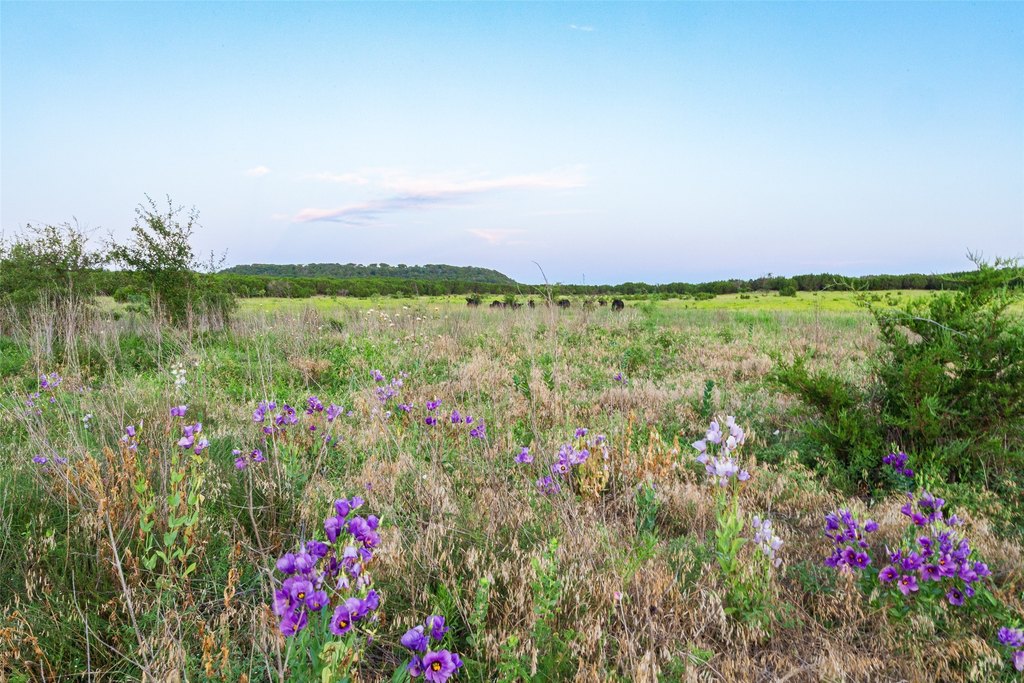
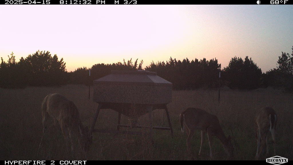
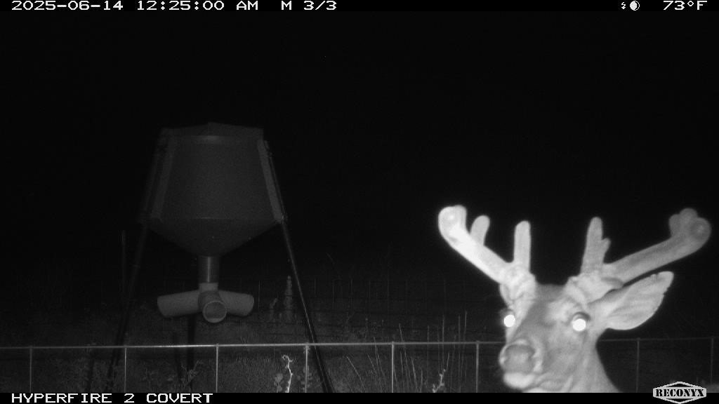
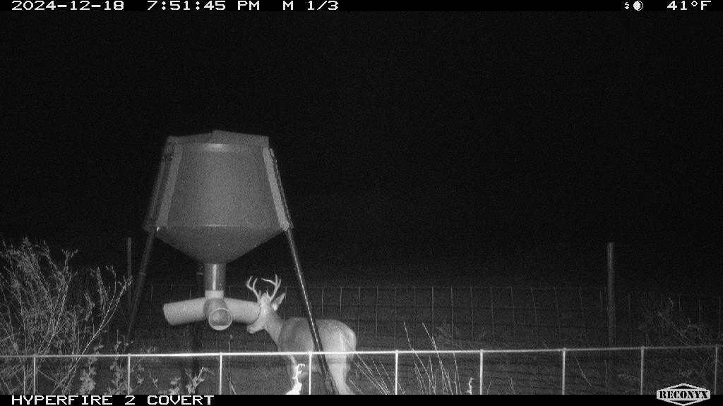
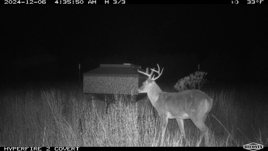
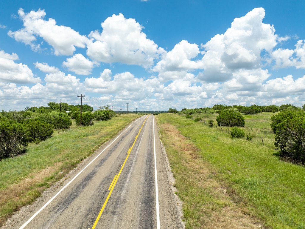
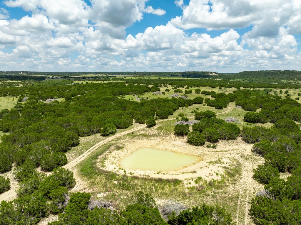
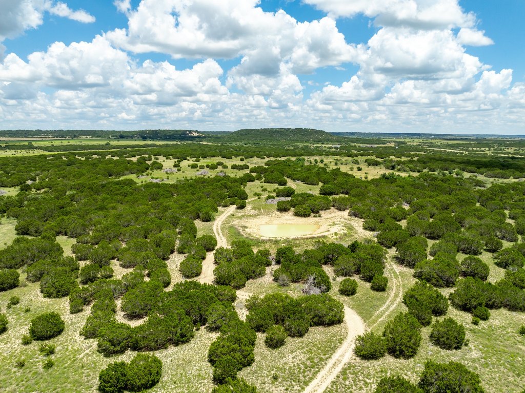
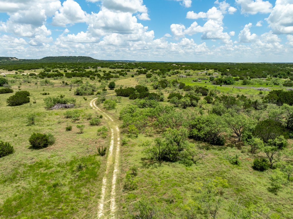
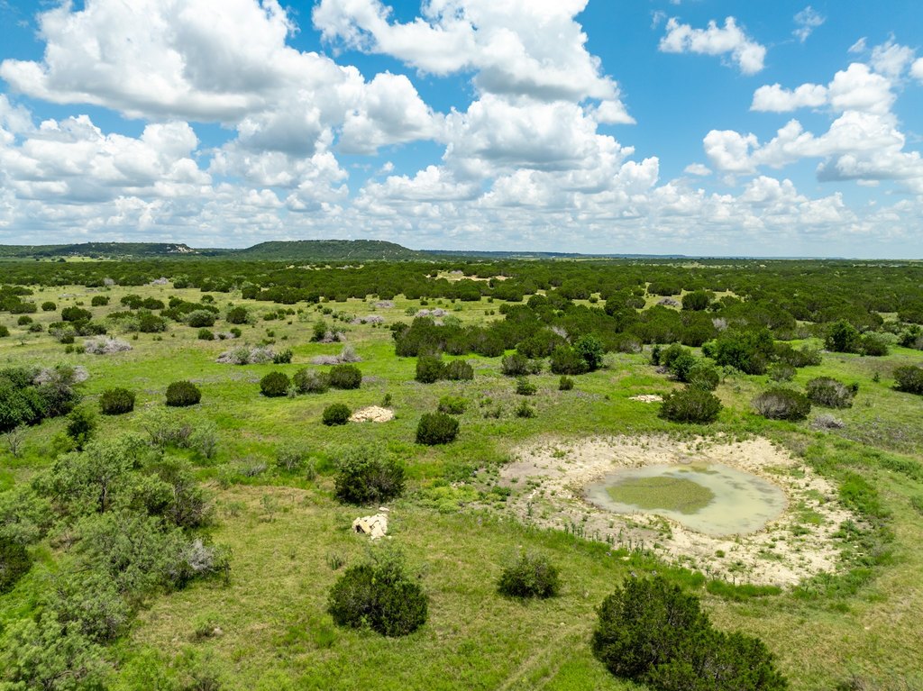
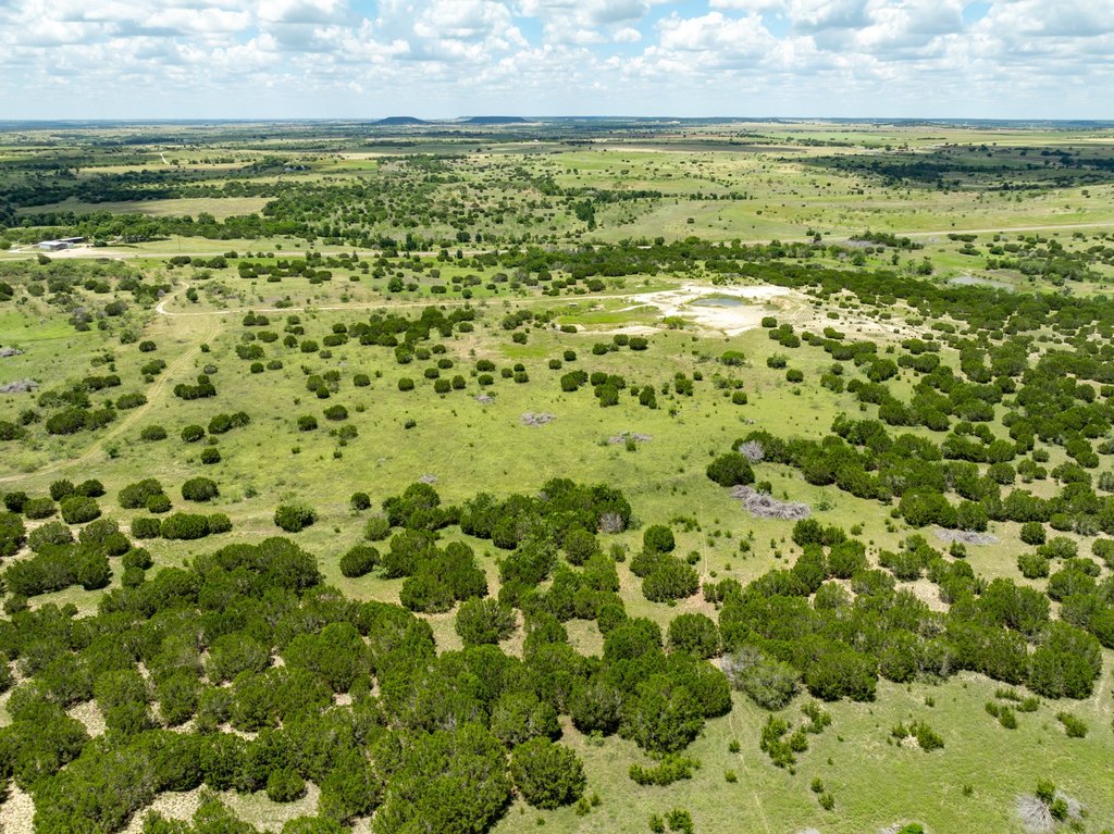
- 124‑acre tract on Highway 22 just outside Cranfills Gap, TX, with fencing and unrestricted status.
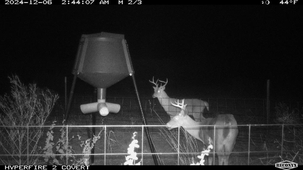
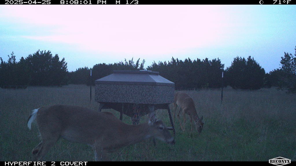
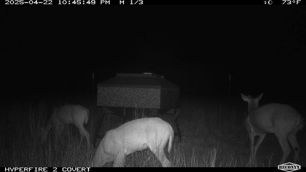
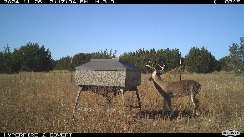
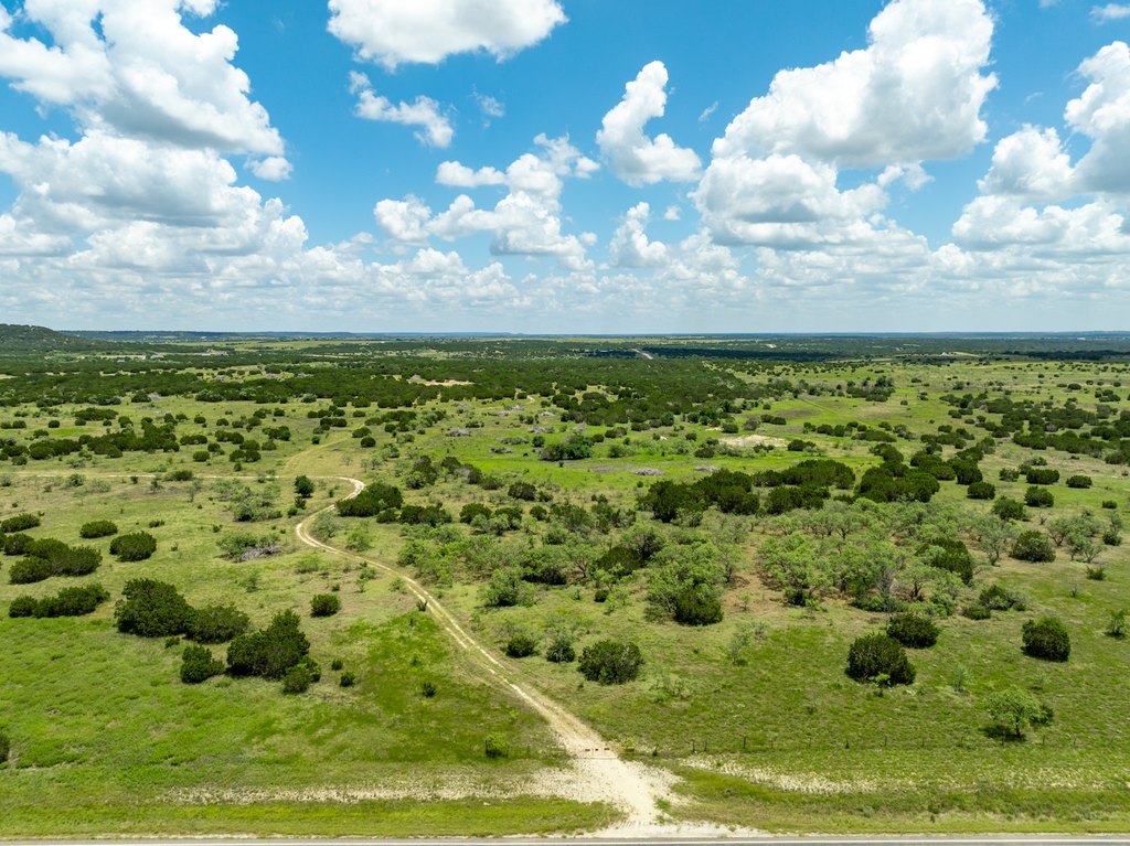
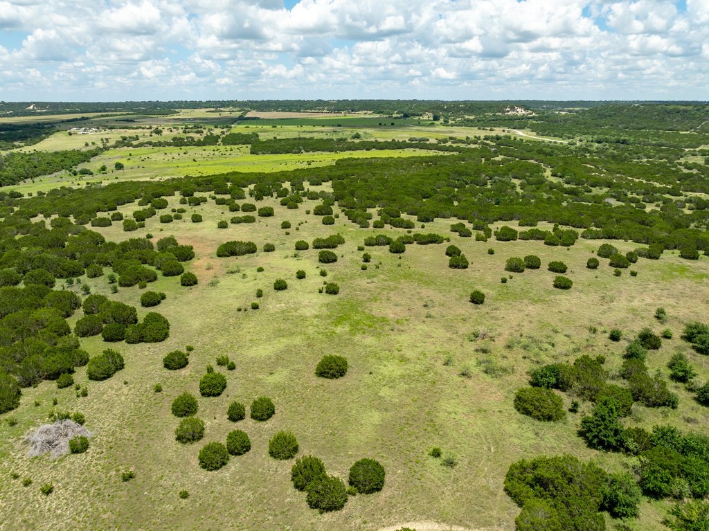
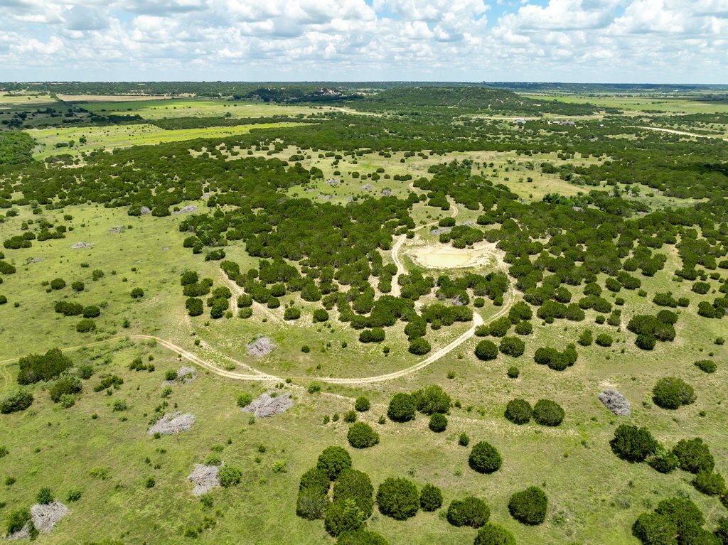
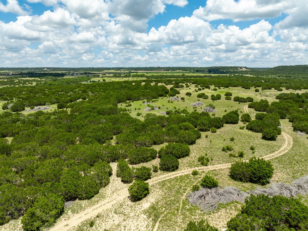
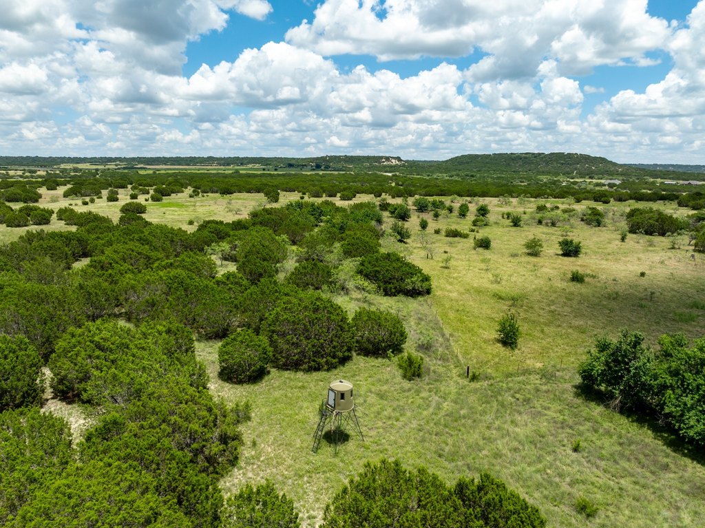
- Terrain includes native grasses plus scattered B‑Dahl, juniper, and mesquite trees, providing cover and forage.
- About 40 feet of elevation change for gentle rolling terrain and scenic views across the property.
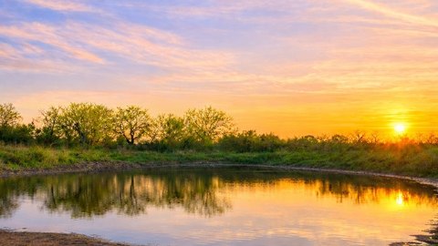
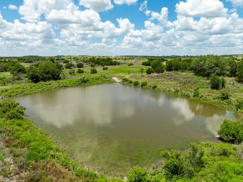
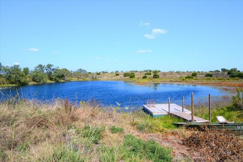
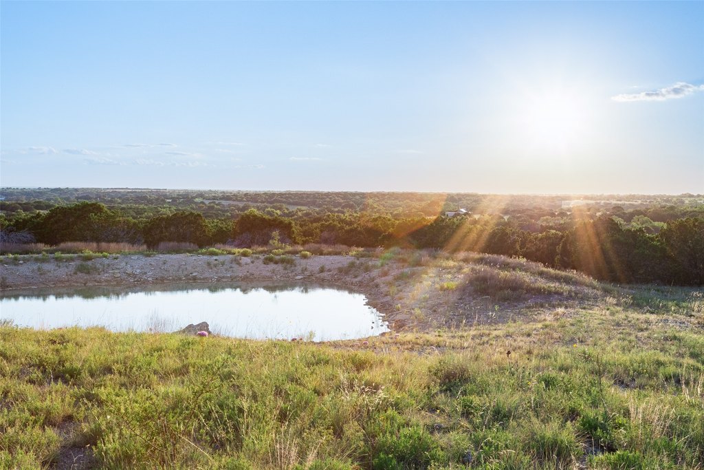
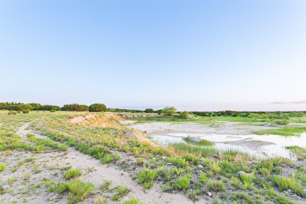
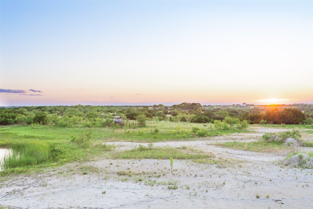
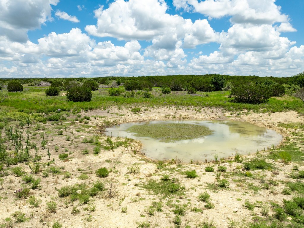
- Stock tank improvements include expanded/cleaned existing tanks, plus two newly dug additional tanks.
- Trails cleared for improved access throughout the ranch.
- Currently under agricultural exemption; water well will need to be drilled and electricity is nearby.
Overview
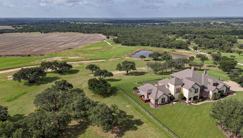
Located on Highway 22 just outside Cranfills Gap in Hamilton County, the property is being divided out of a larger 285-acre ranch. The seller indicates additional acreage may be available if desired. While a water well will need to be drilled for future use, electricity is noted as being nearby.
From a tenant or owner-operator standpoint, the land supports flexible use as cattle ranch grazing and a hunting property, with enough character and cover to hold wildlife. For buyers planning a homestead or residence, the rolling topography and mix of vegetation provide a practical build-site setting, subject to the need to establish water supply via a drilled well.
Current Use by Public Records
Map
- City
- Jonesboro
- County
- Coryell
- State
- Texas
- Longitude
- -97.883583
- Latitude
- 31.663089