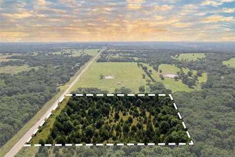
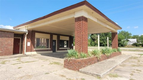
E 1130 Rd-411.75 acers, Okemah, OK 74859
LAND - Okemah, OK
- Added:
- Jul 7, 2025
- Days on Market:
- 365
- Last Refresh:
- Jul 6 at 1:06 pm
Property Features for E 1130 Rd-411.75 acers
General Information
- Property type
- Land
- Property subtype
- Other
- Fencing
- Fenced
- Standard status
- Active Under Contract
- Lot size
- 411.75 Acres
Utilities
- Water front features
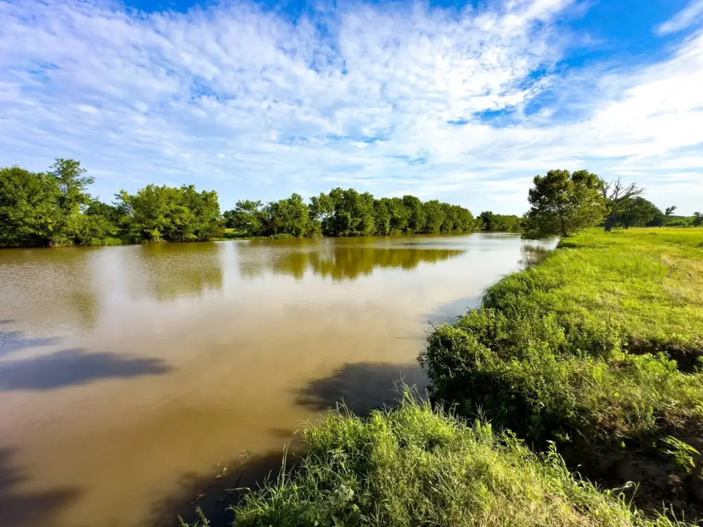
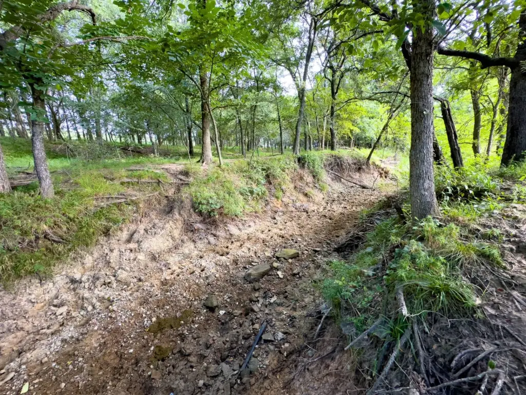
- River Front, Creek, Pond
Listing agent Justin White 833-USE-AHLC
Listing office Arrowhead Land Company 205 E Dewey Ave, Sapulpa, OK (833) 873-2452
Listing date Jul 7, 2025
Copyright © 2026 My State MLS. All rights reserved. All information provided by the listing agent/broker is deemed reliable but is not guaranteed and should be independently verified.
HighLights
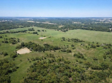
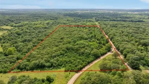
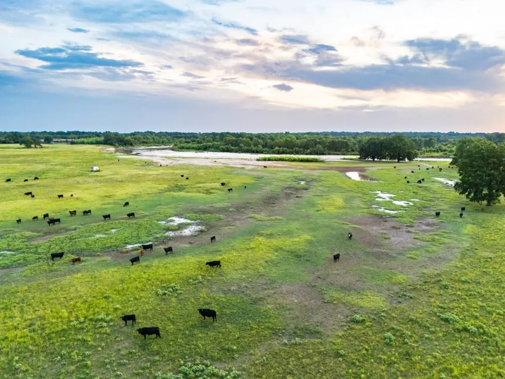
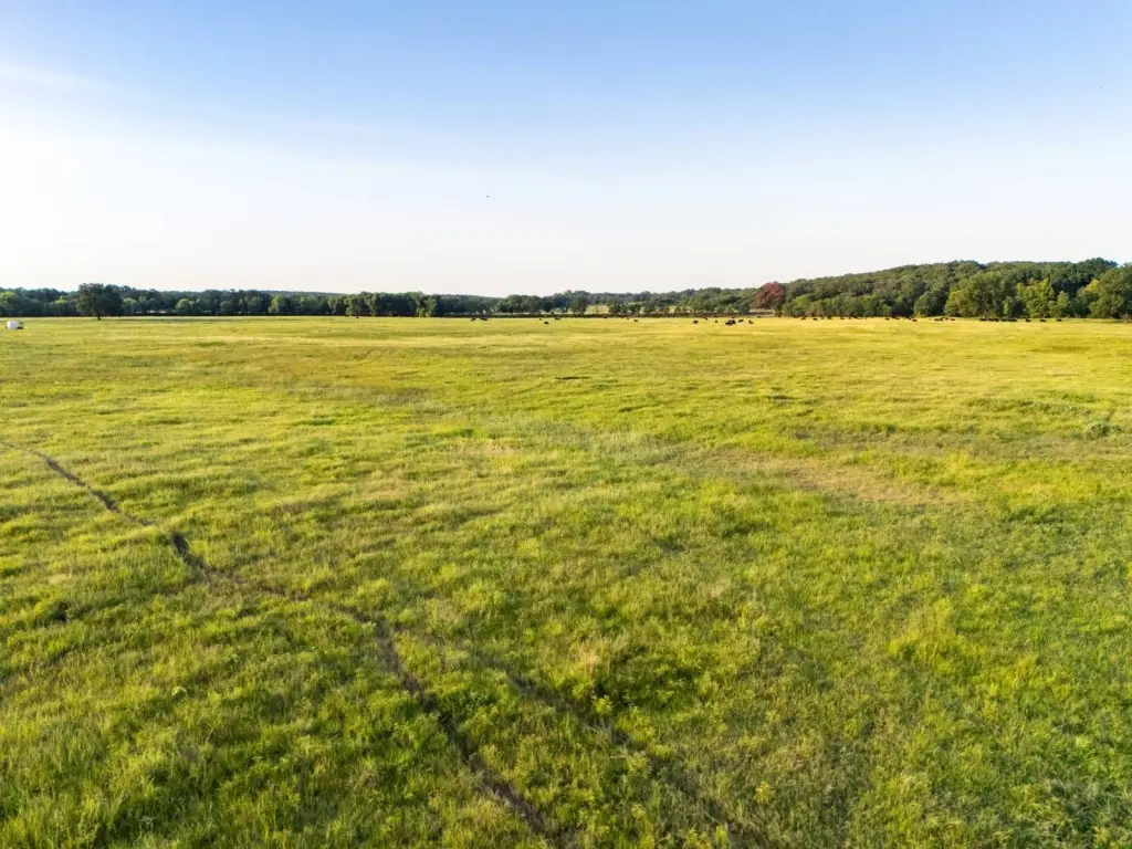
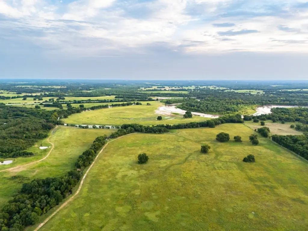
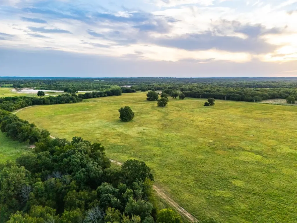
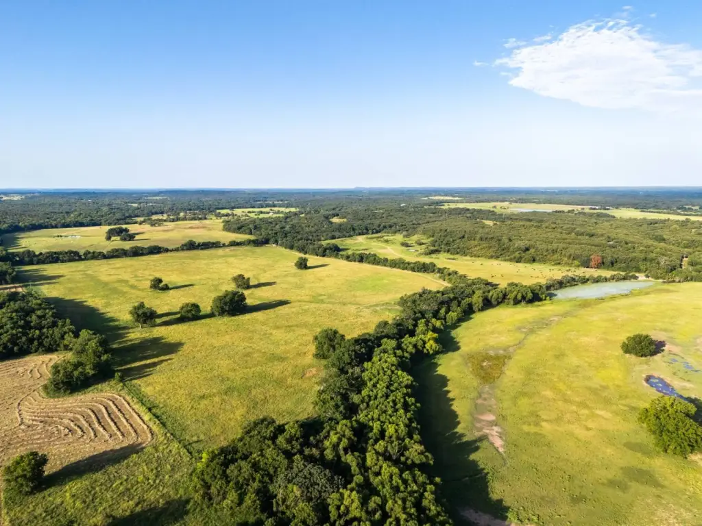
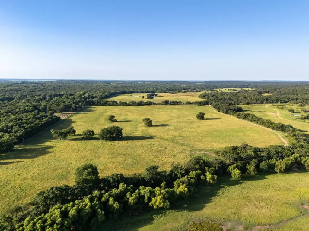
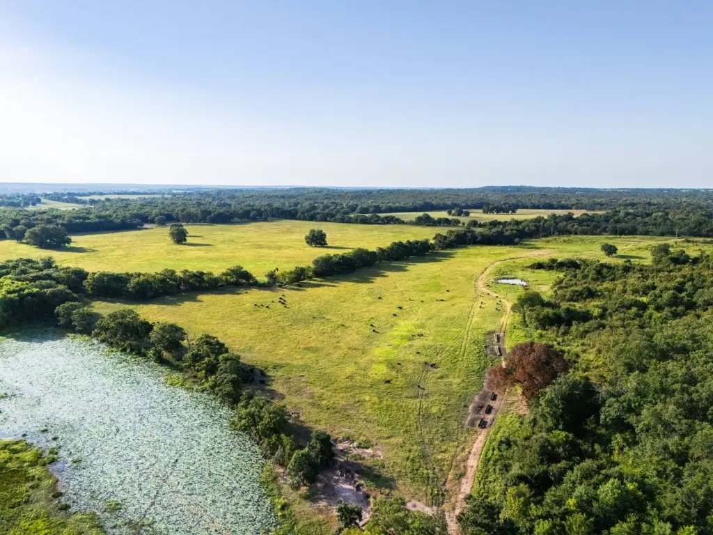
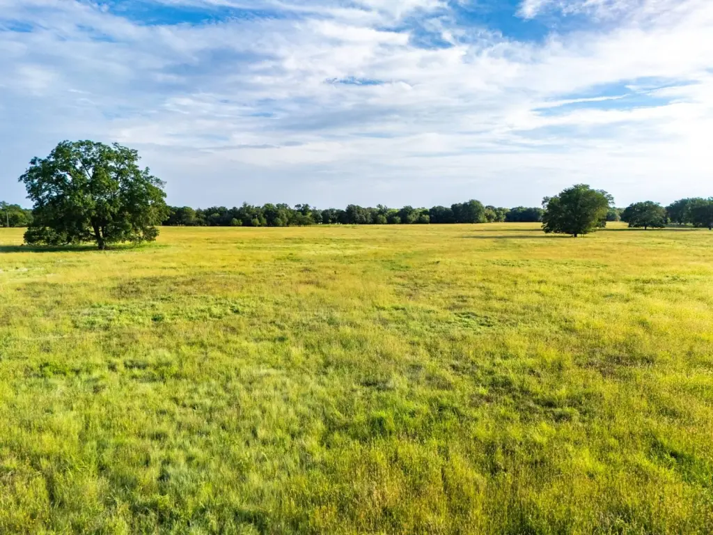
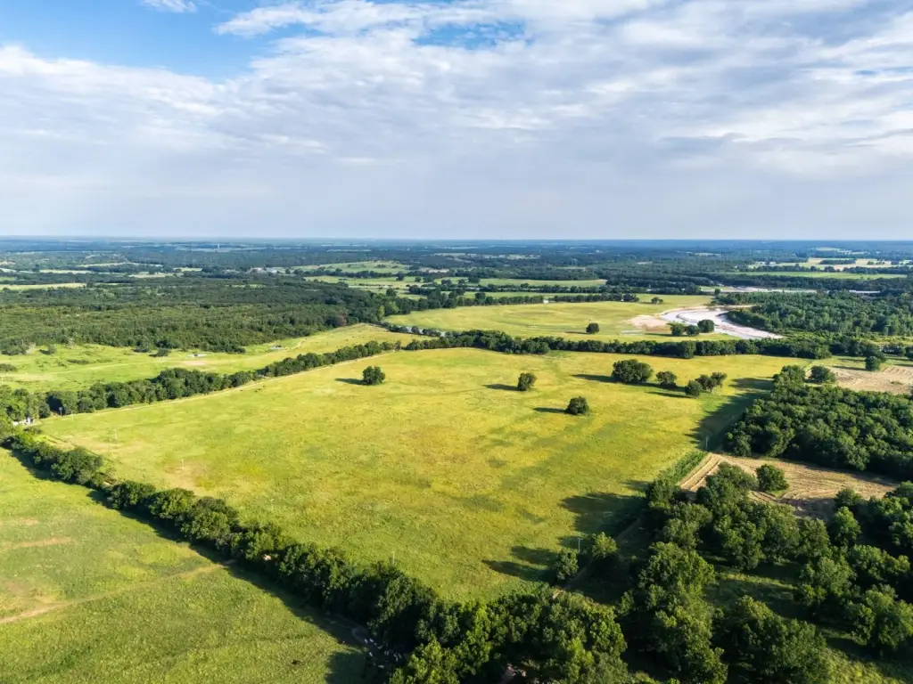
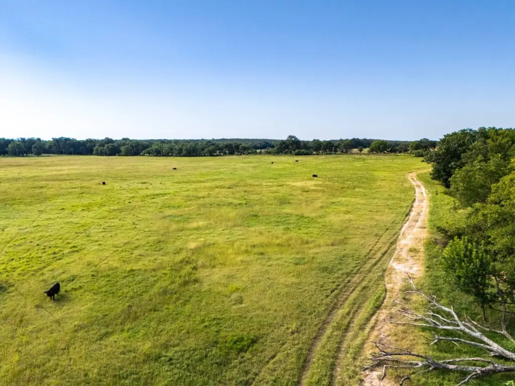
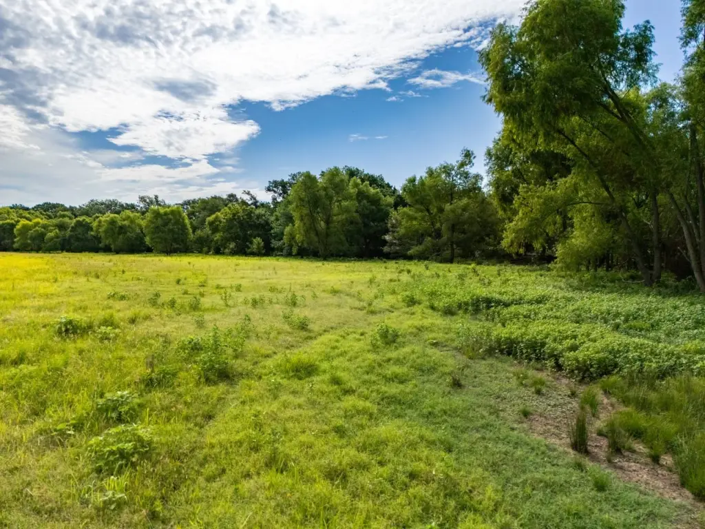
- 411.75+/- acres in Okfuskee County (Tract 1, The Flying H Ranch) for ranching and recreation
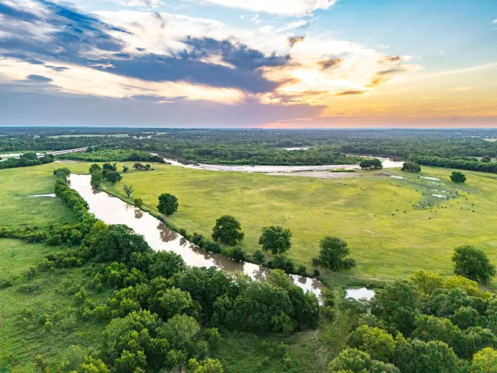
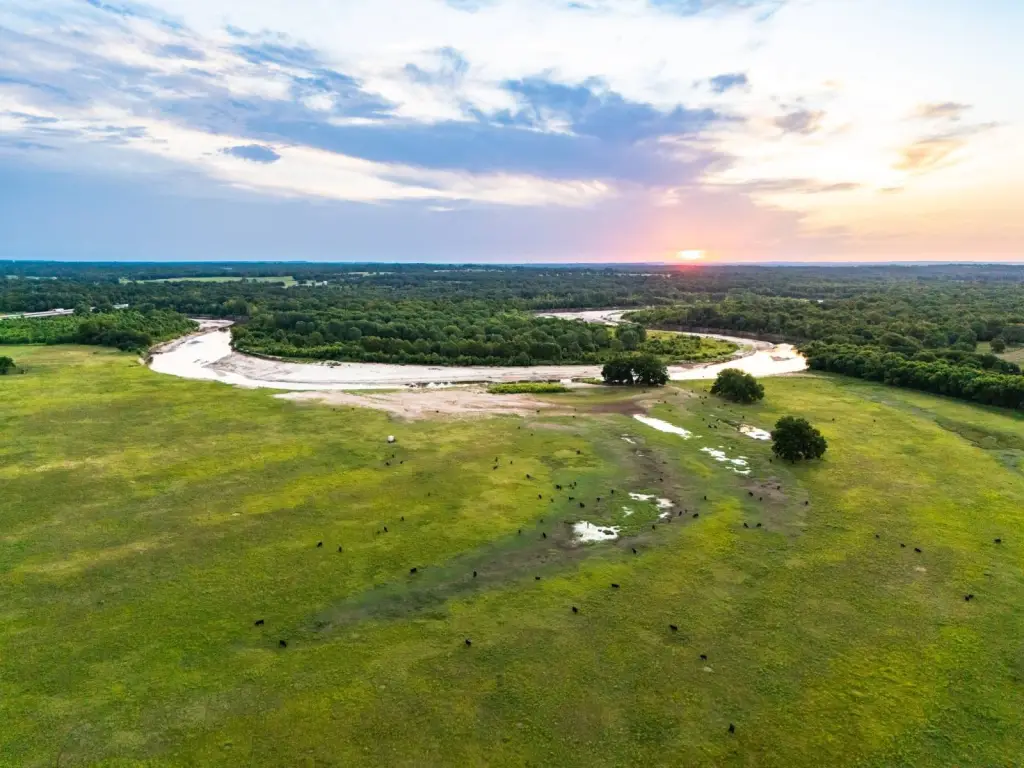
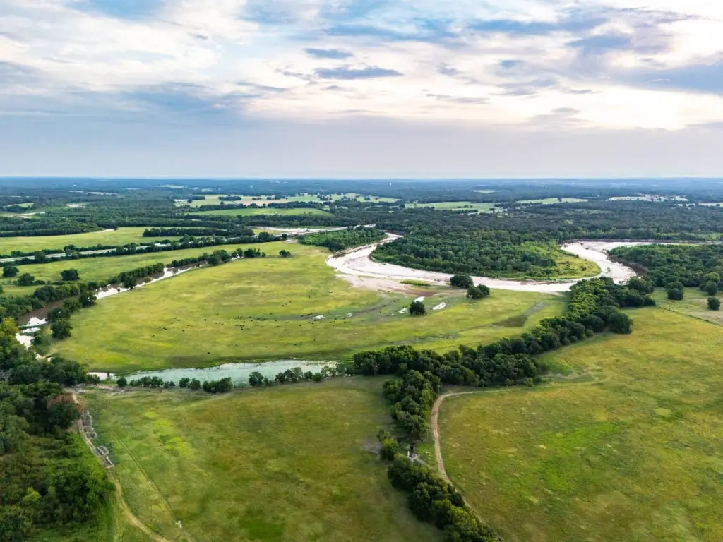
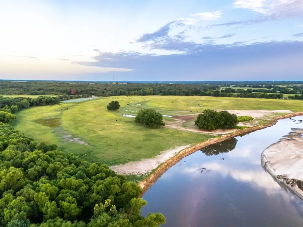
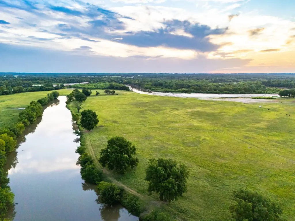
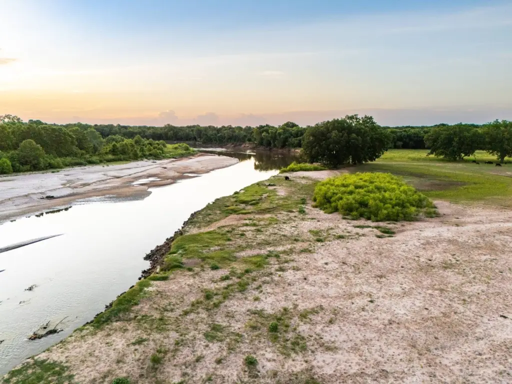
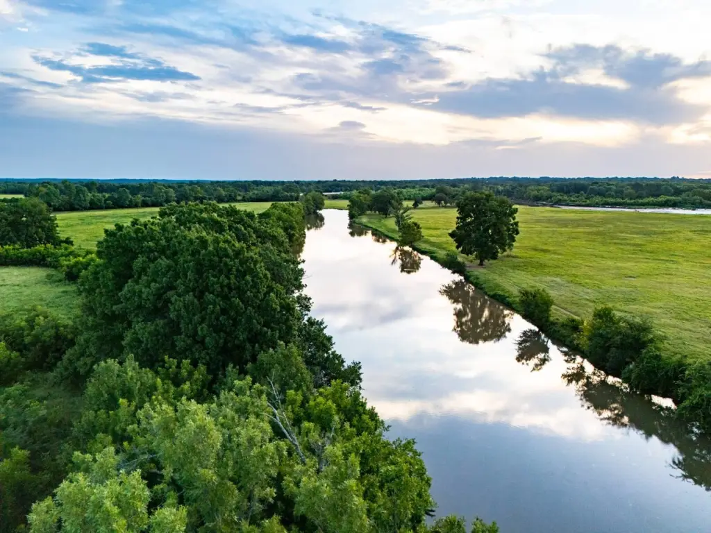
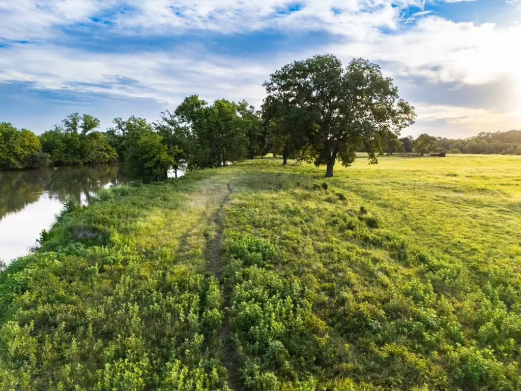
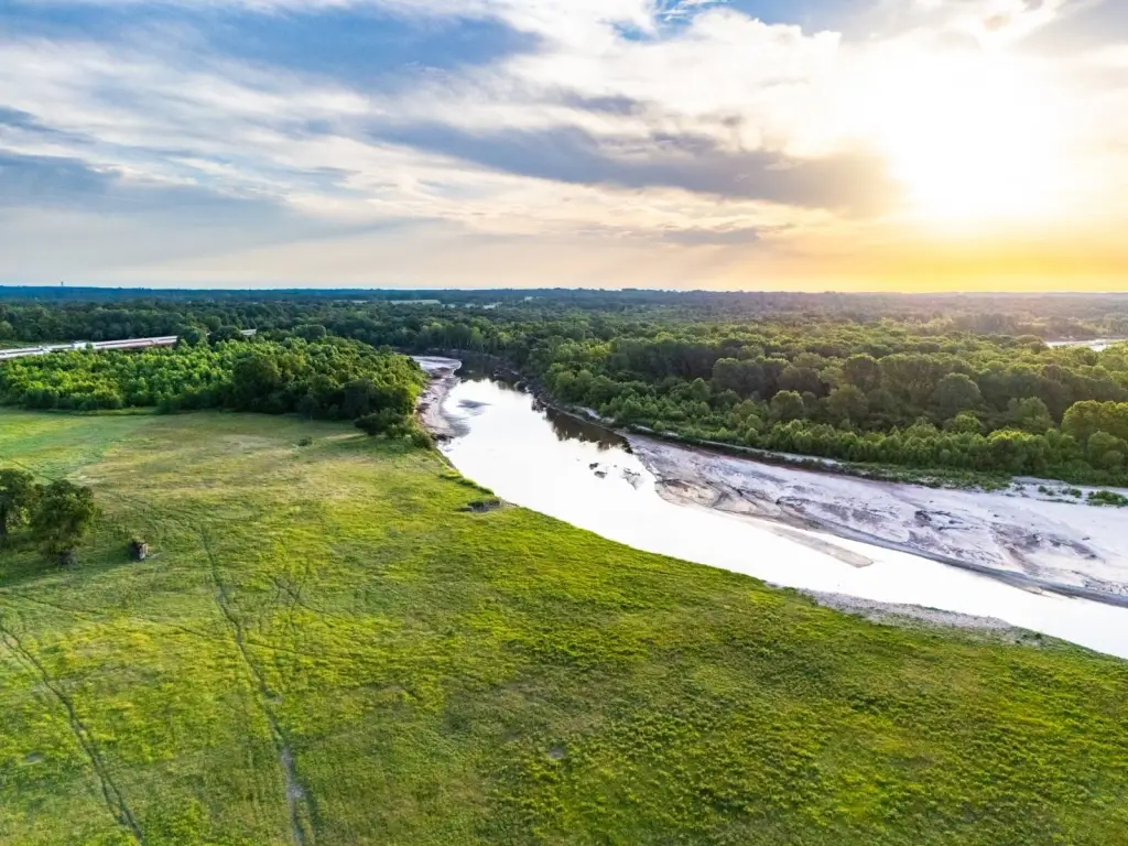
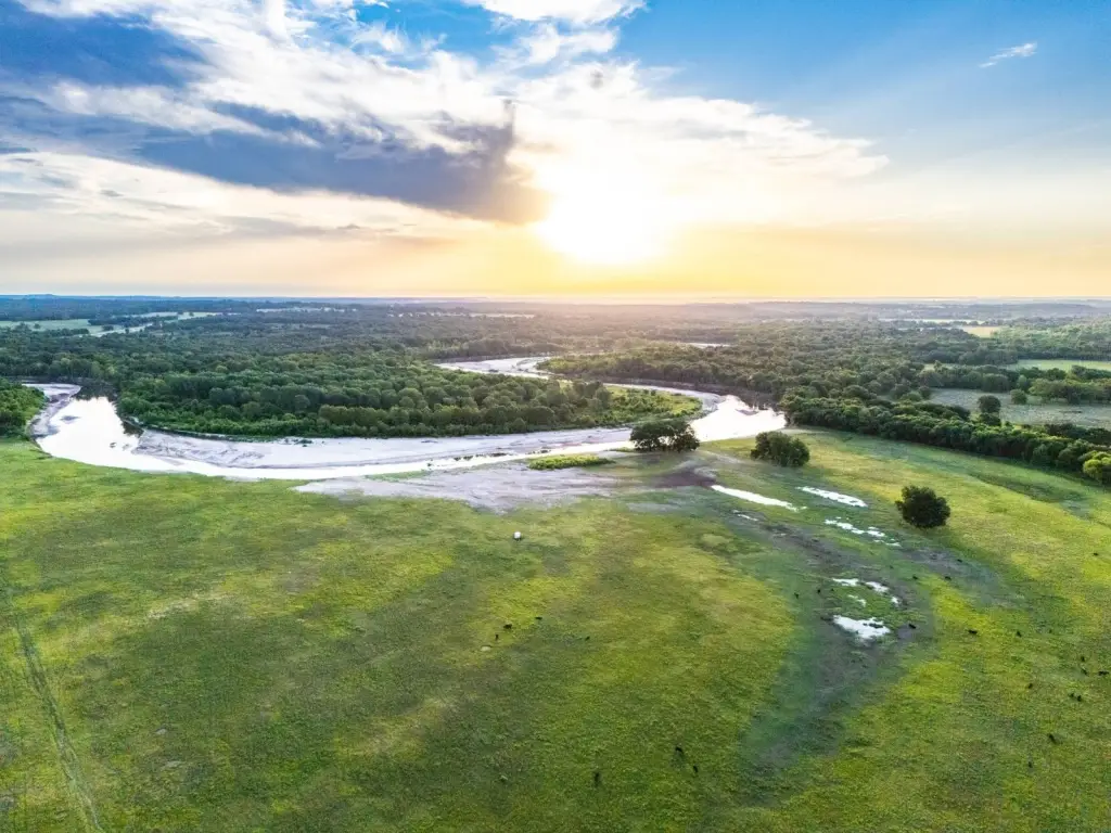
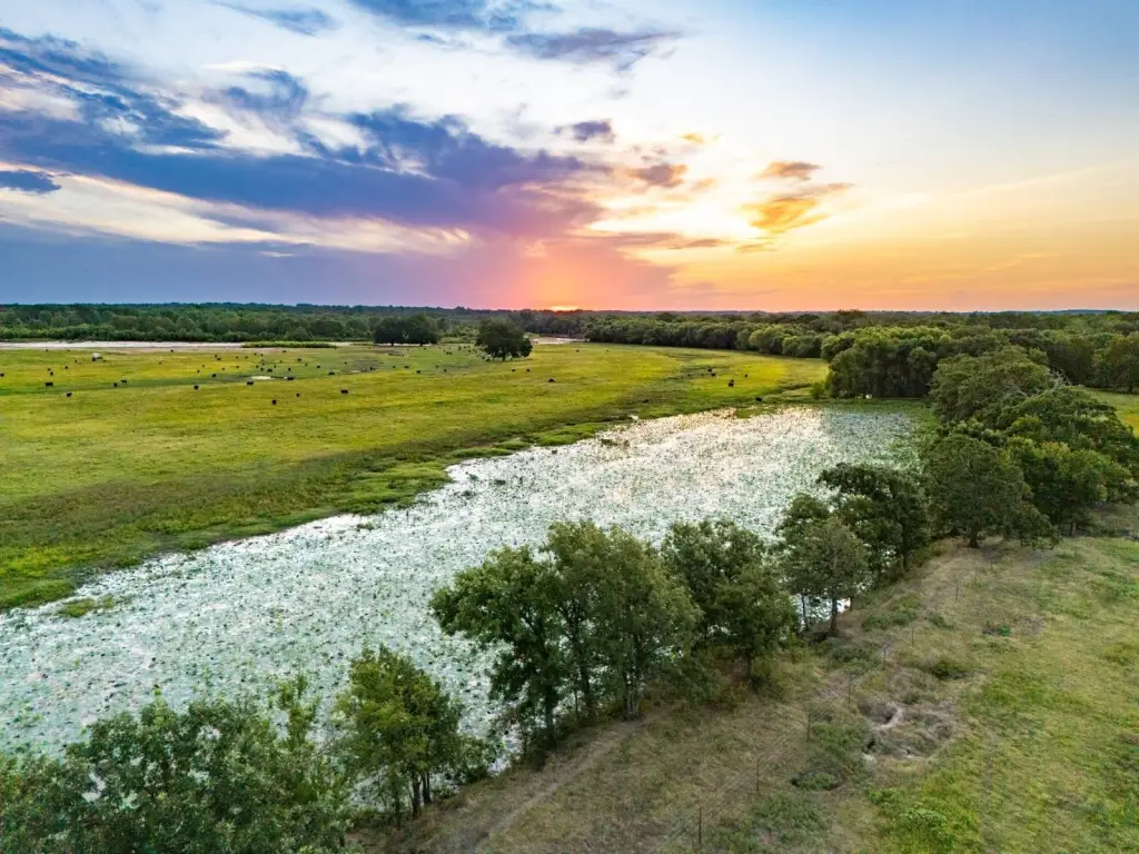
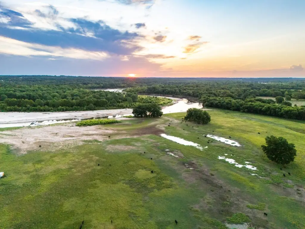
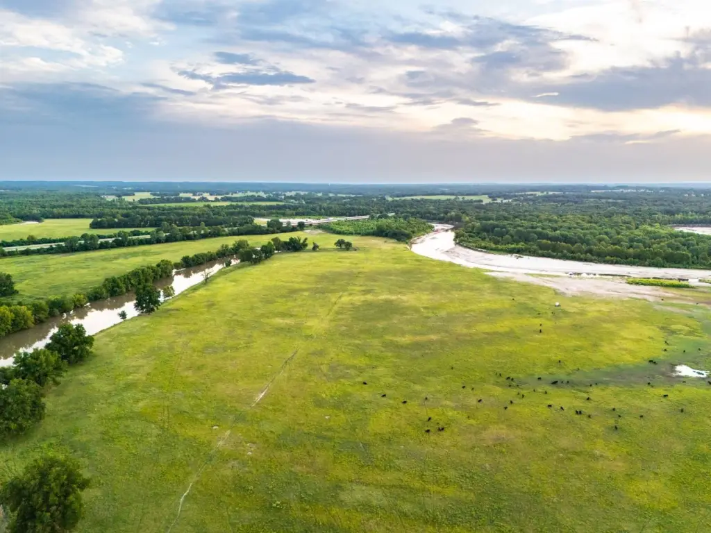
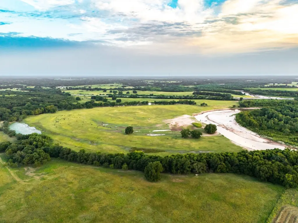
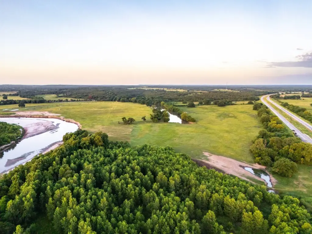
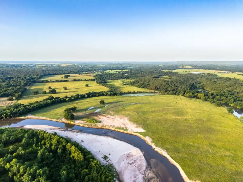
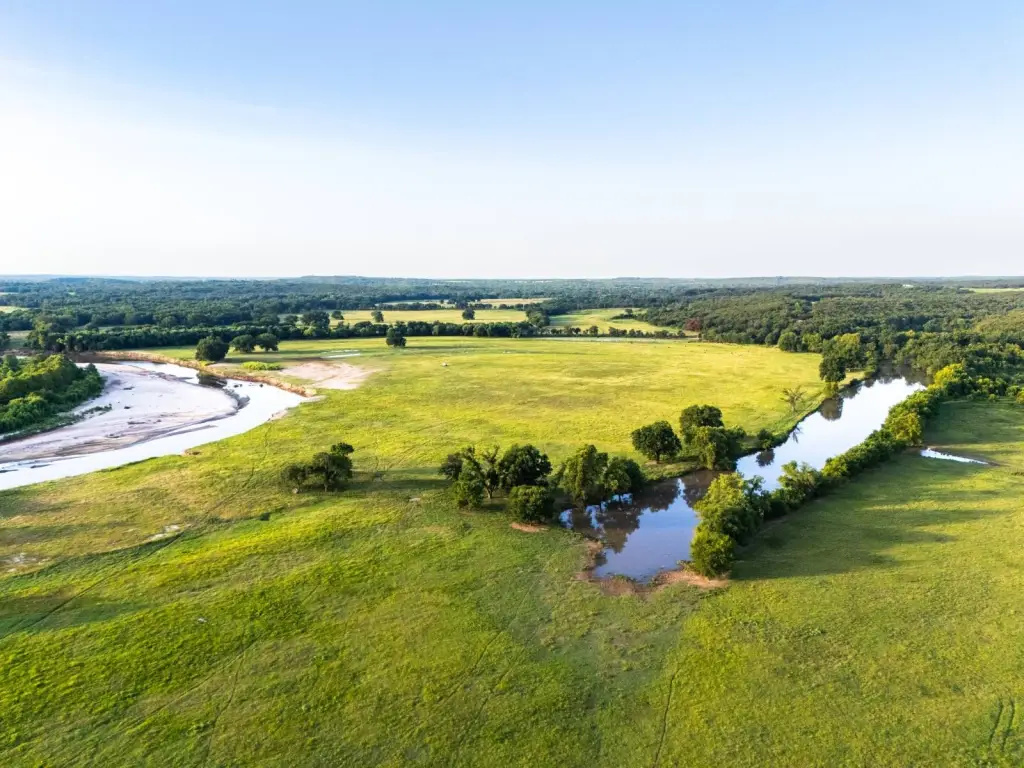
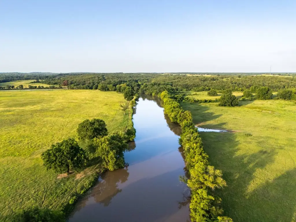
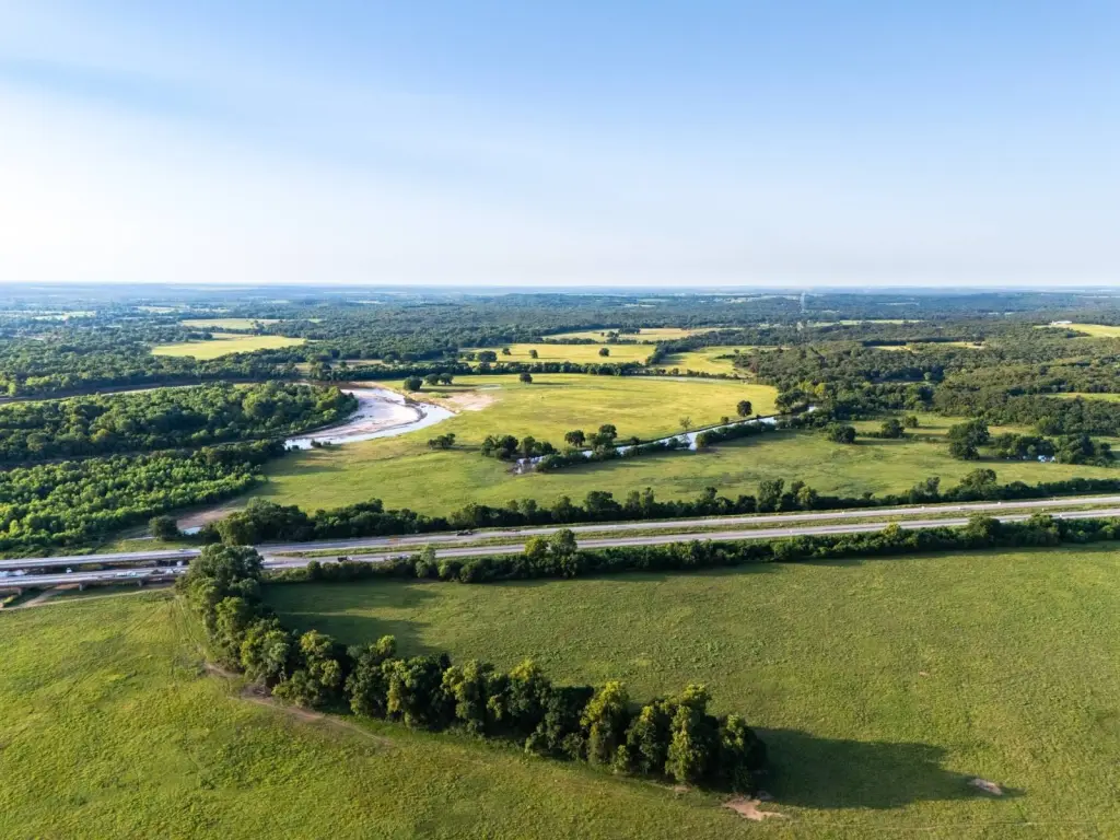
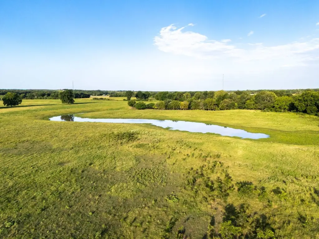
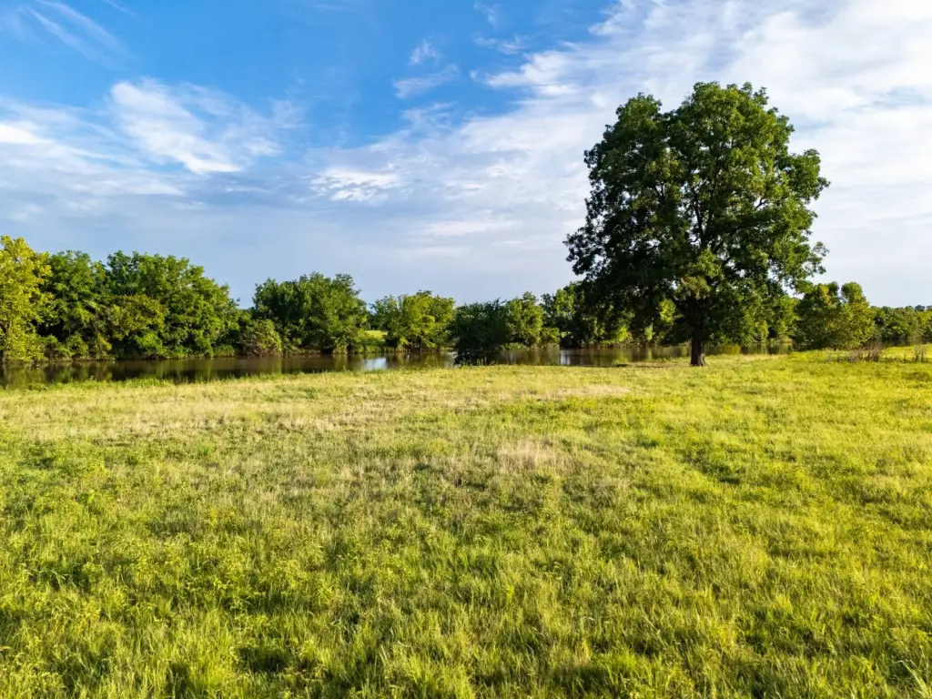
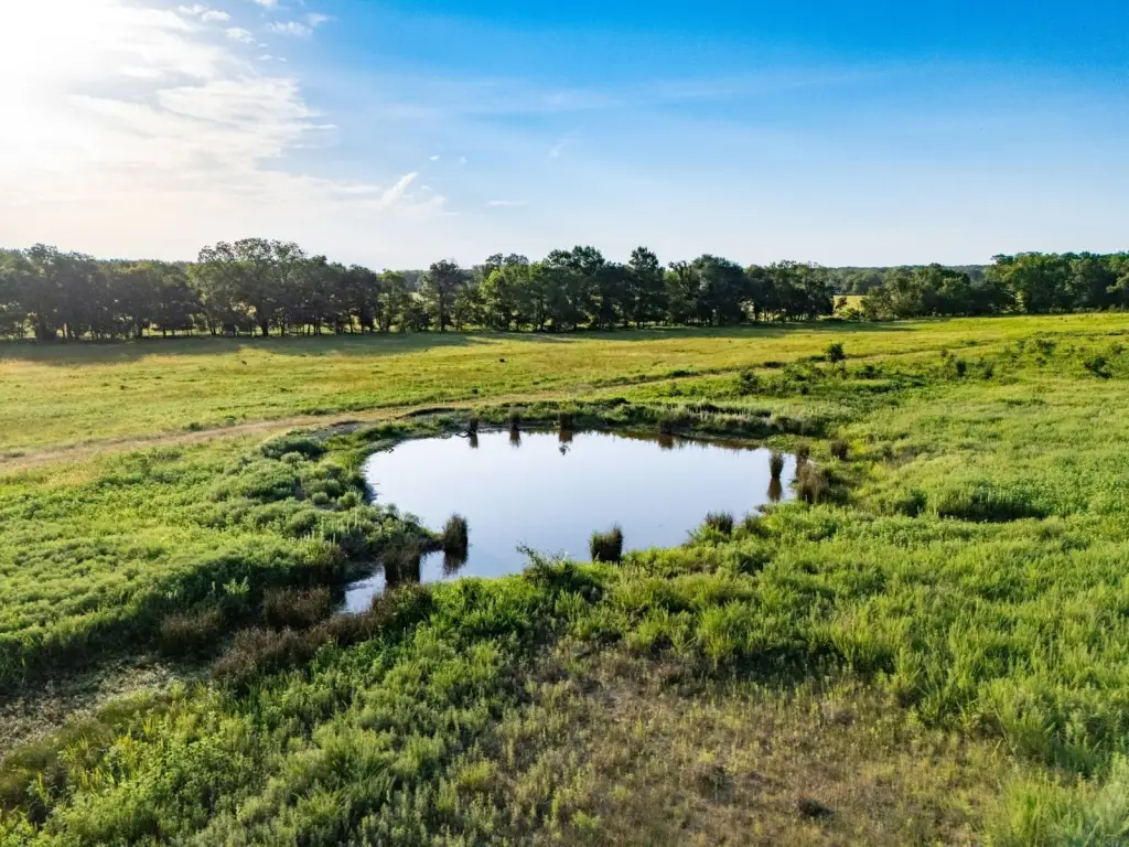
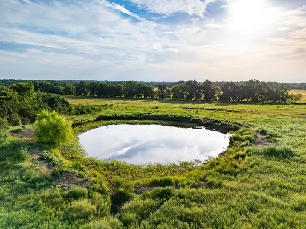
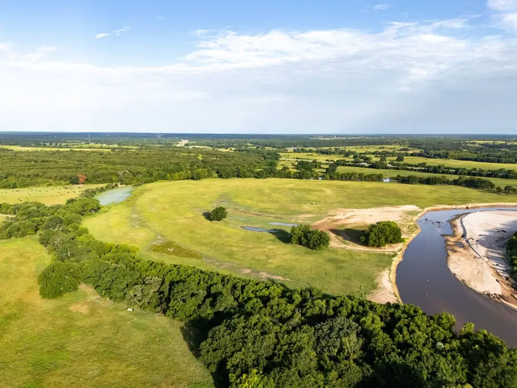
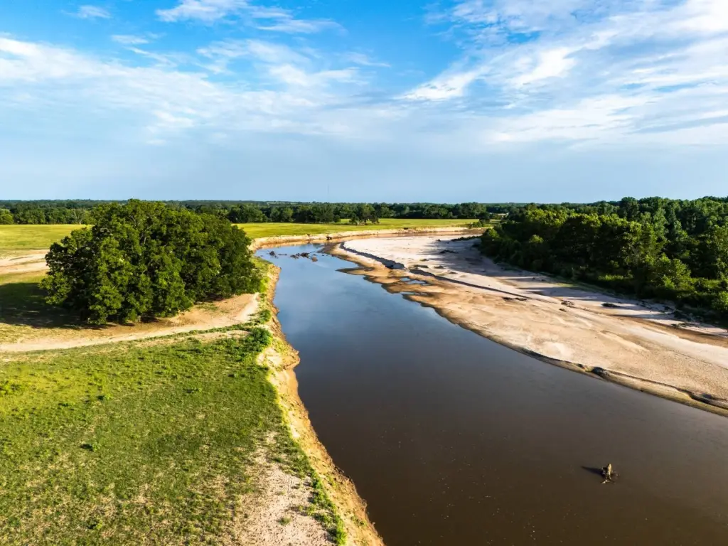
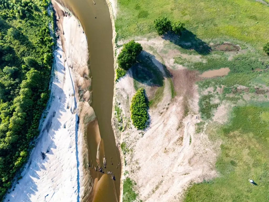
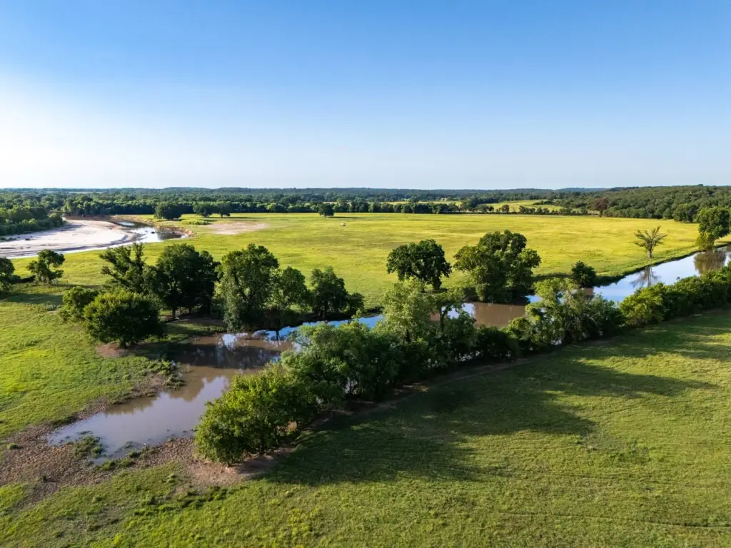
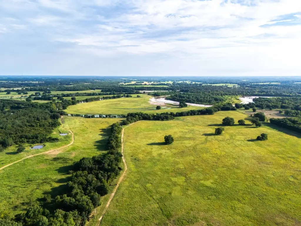
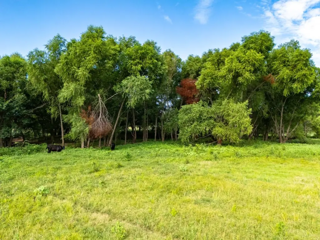
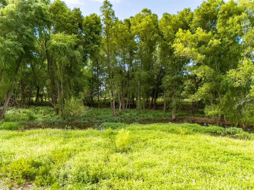
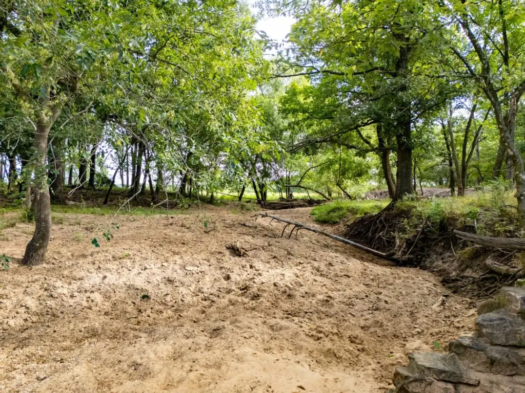
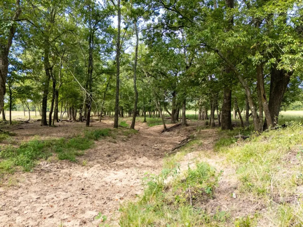
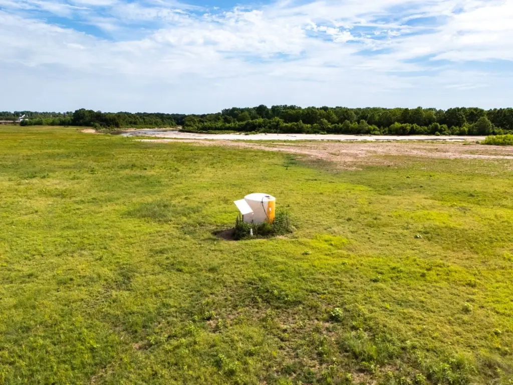
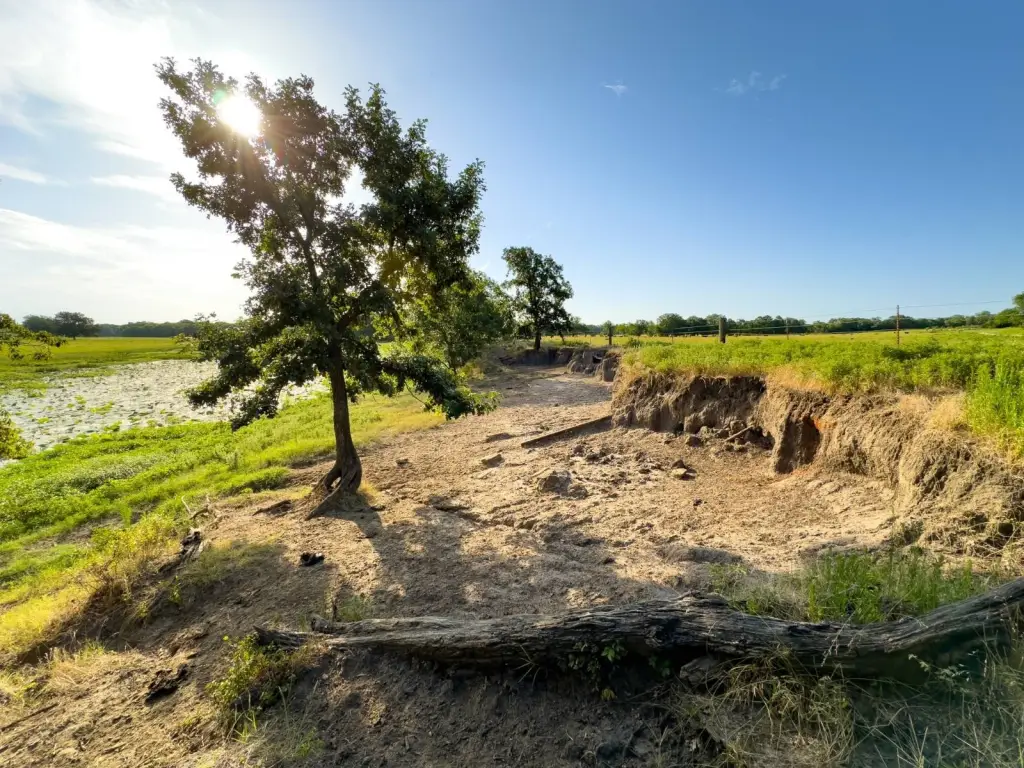
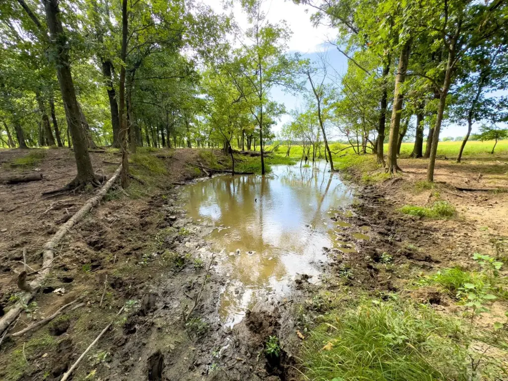
- North Canadian River runs along the property with river frontage plus multiple ponds for water access
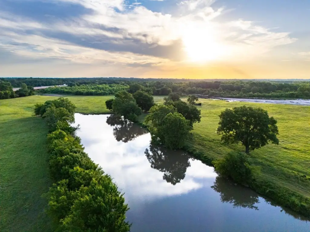
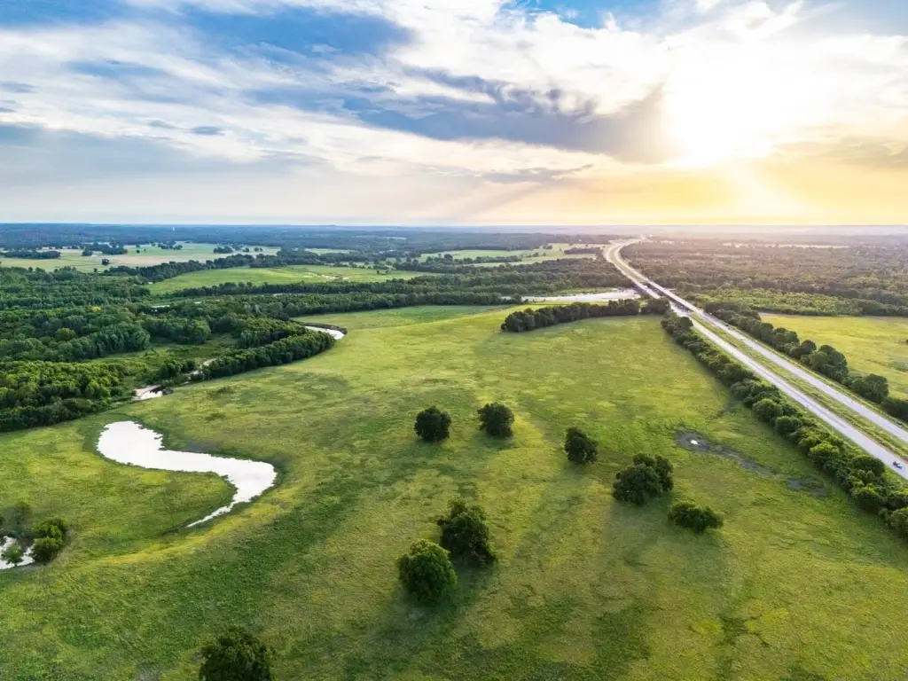
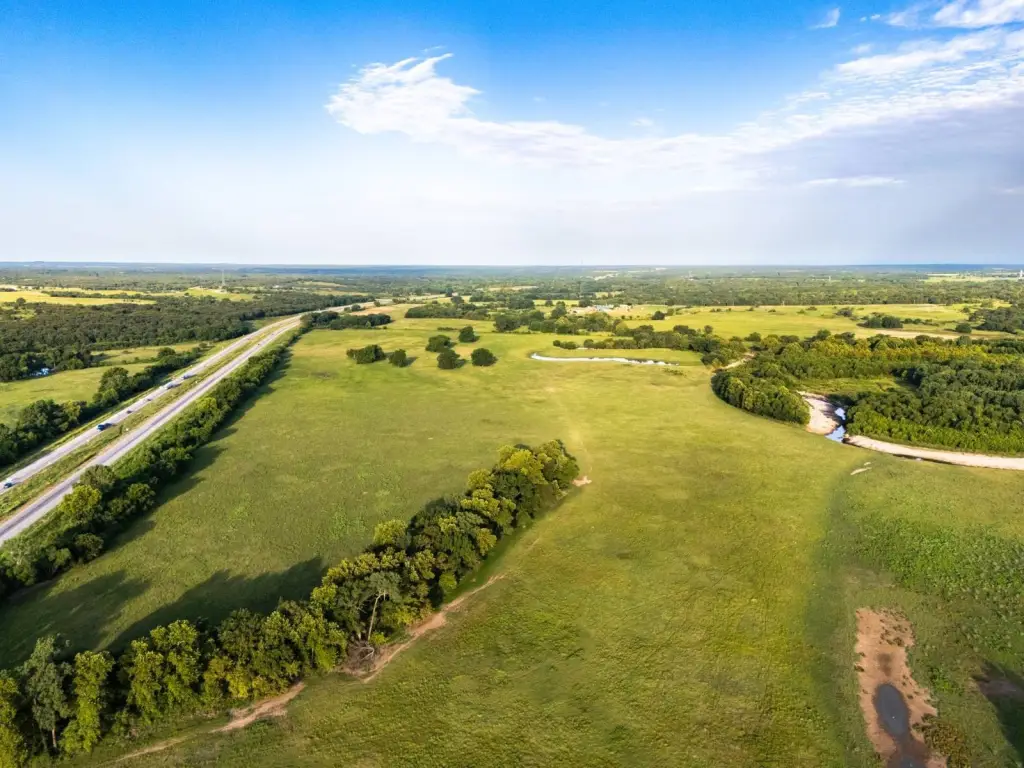
- Large central pond and additional pond on land north of I‑40
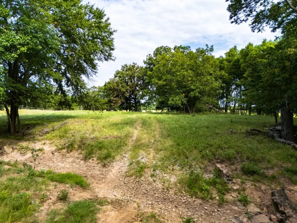
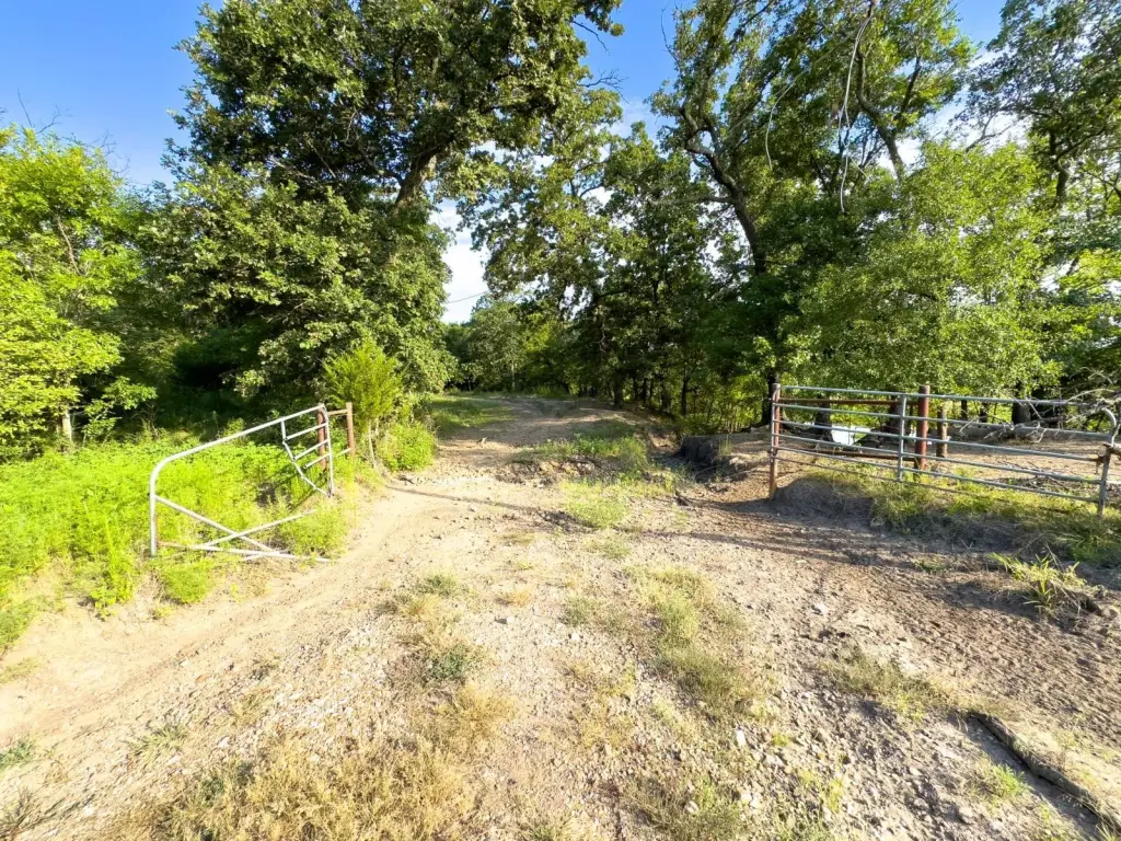
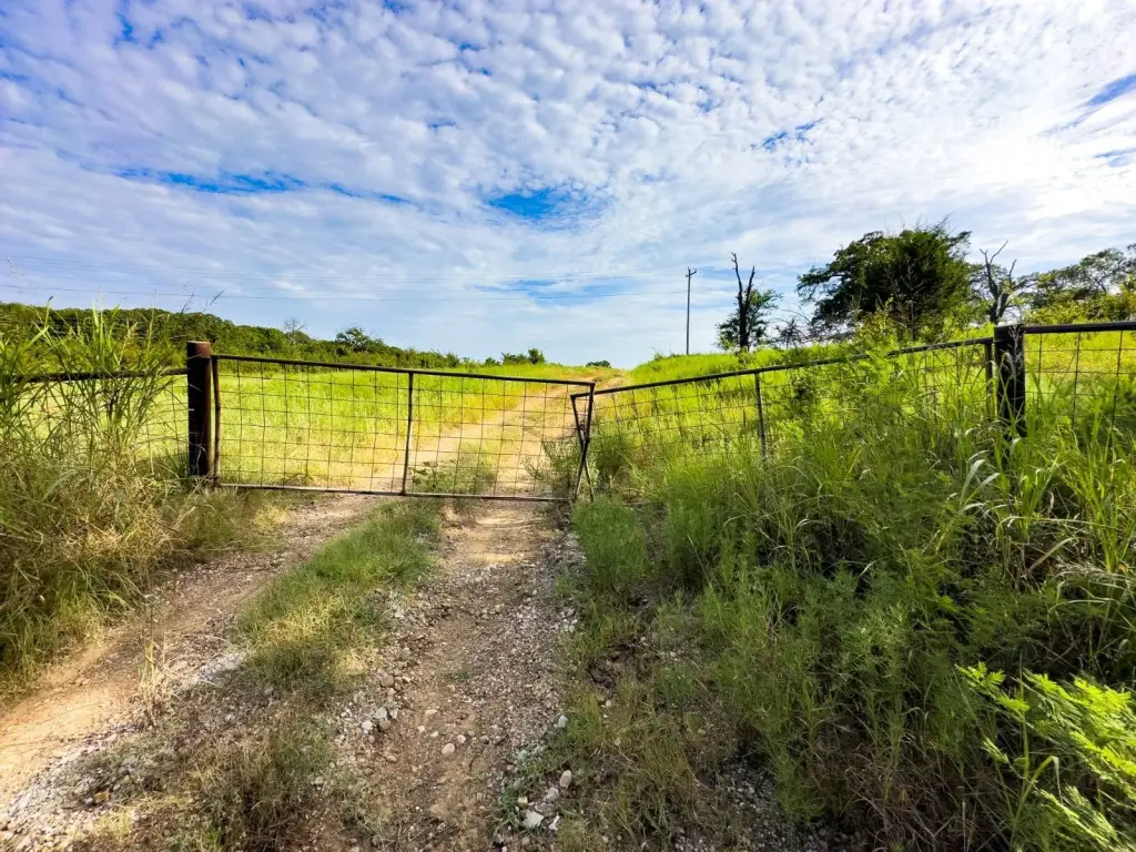
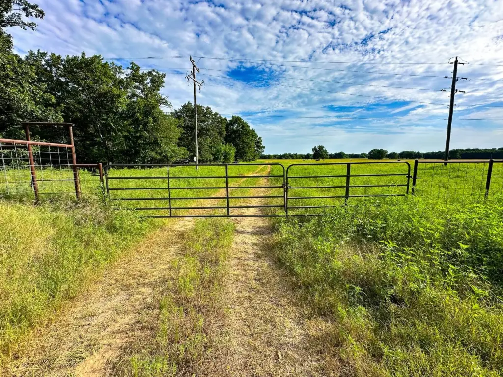
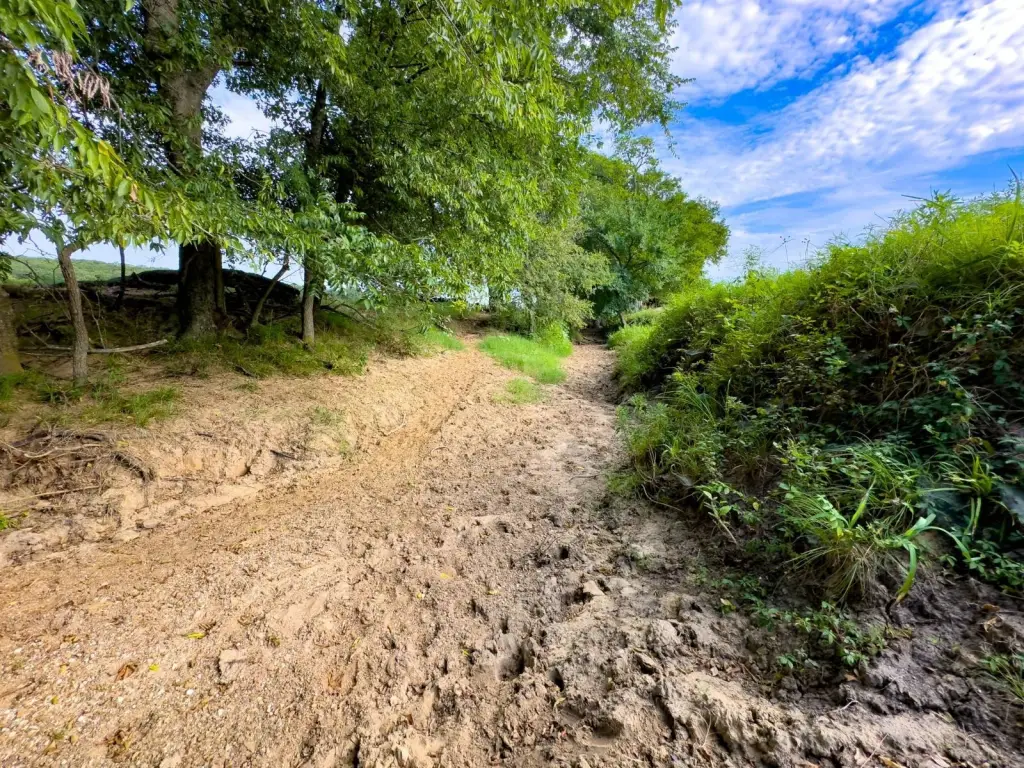
- Multiple drivable trails provide access across the acreage for management and movement
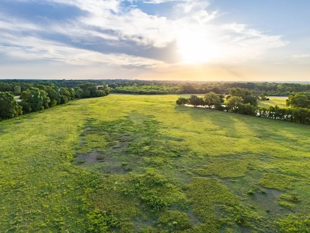
- Over 120+/- acres north of I‑40 with open pasture and Sand Creek in the northwest corner
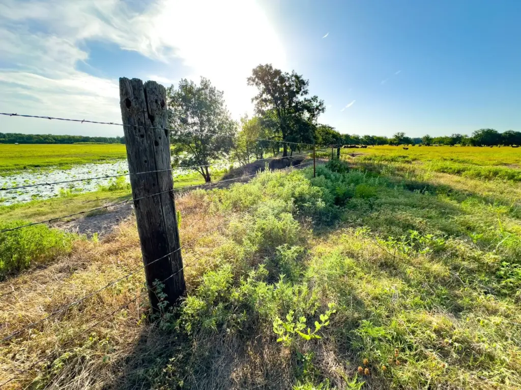
- Fenced property with river/creek/pond waterfront features: river front, creek, and pond
Overview
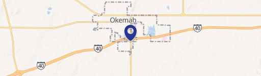
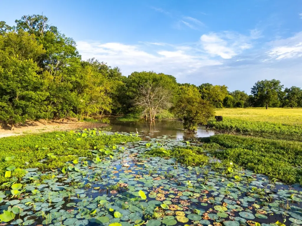
The property is located approximately 9+/- miles from Okemah and about 70+/- miles from both Tulsa and Oklahoma City. The listing notes regular deer and waterfowl activity, with hunting and fishing opportunities across the tract. Access and showings are by appointment only, and boundary lines shown are approximate, with buyers advised to obtain an independent survey.
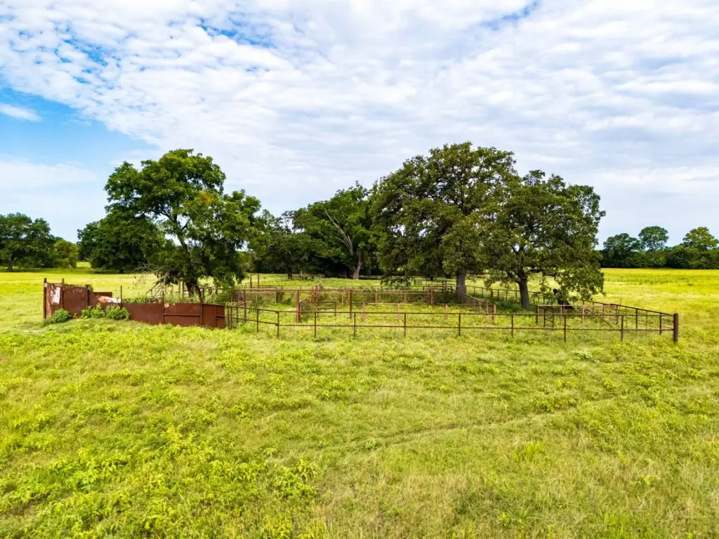
This tract offers a practical combination of open pasture, surface water features, and ranch-style access via drivable trails, which may appeal to buyers seeking land for cattle operations, hay production, or recreational use. The mix of river frontage, ponds, and additional water along portions of the acreage can support year-round livestock and wildlife-related activities depending on the buyer’s plans.
Current Use by Public Records
Map
- City
- Okemah
- County
- Okfuskee
- State
- Oklahoma
- Longitude
- -96.4019
- Latitude
- 35.3866