11-2805 KALEPONI DR, Volcano, HI 96785
- Added:
- Jun 4, 2026
- Days on Market:
- 3
- Last Refresh:
- Jun 6 at 12:06 am
Property Features for 11-2805 KALEPONI DR
General Information
- Property type
- Land
- Property subtype
- Other
- Zoning
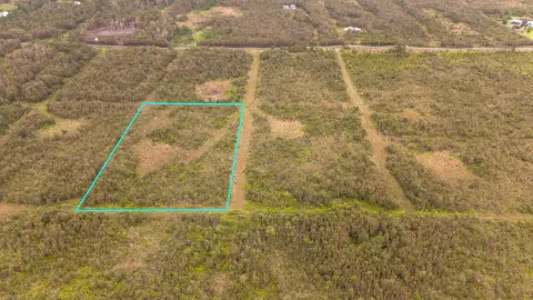
- A-3A
- Standard status
- Active
- APN
- 3110210780000
- Lot size
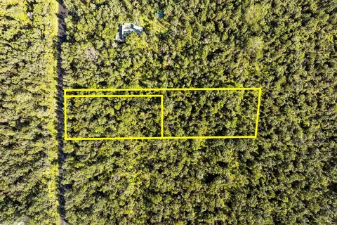
- 3.00 Acres
Taxes and HOA fees
- Tax Year
- 2025
- Tax Annual Amount
- 328
Utilities
- Utilities
- Electricity Available
- Sewer type
- Septic Tank
Listing agent Tuesday Frias (530) 643-0941
Listing office eXp Realty 6600 Kalanianaole Highway, Suite 114, Mililani, HI (808) 725-2794
Listing date Jun 4, 2026
Copyright © 2026 Hawaii Information Service. All rights reserved. All information provided by the listing agent/broker is deemed reliable but is not guaranteed and should be independently verified.
HighLights
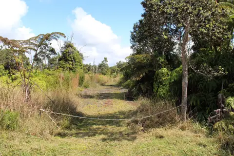
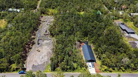
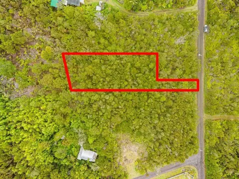
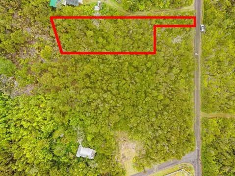
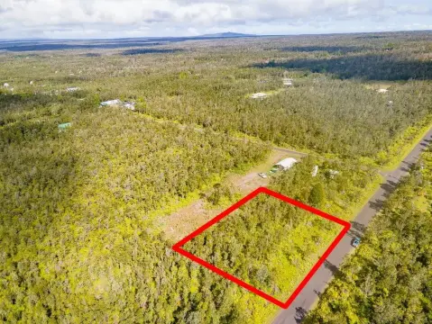
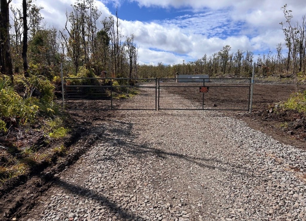
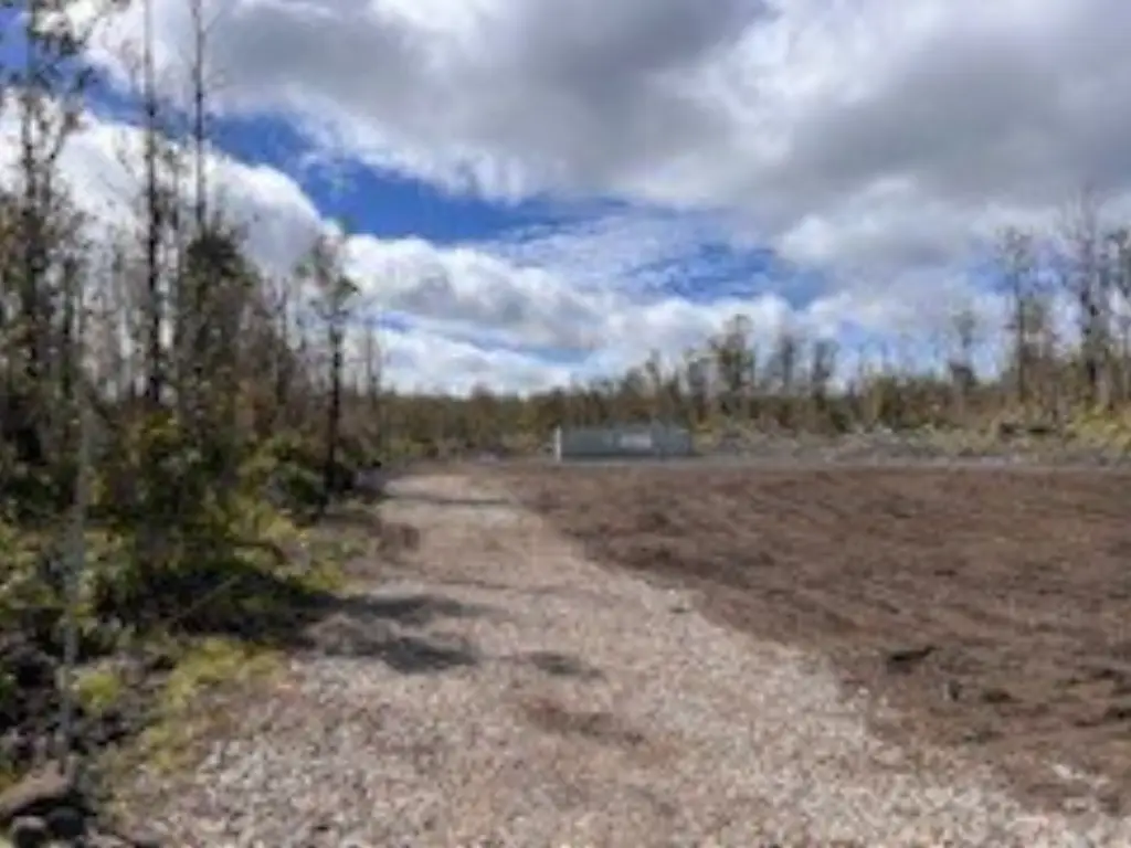
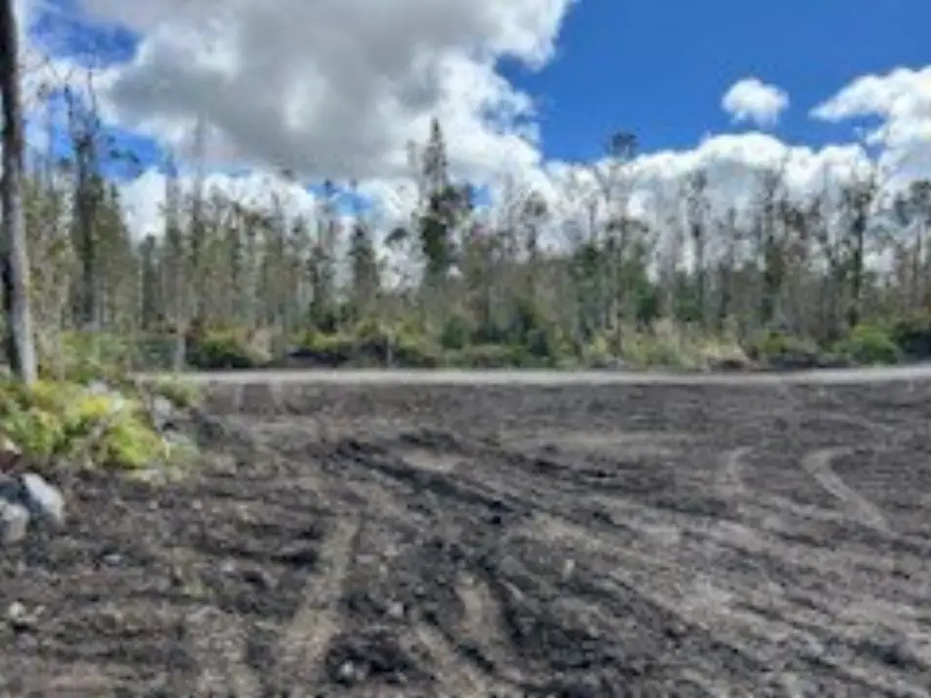
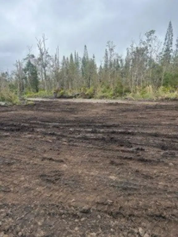
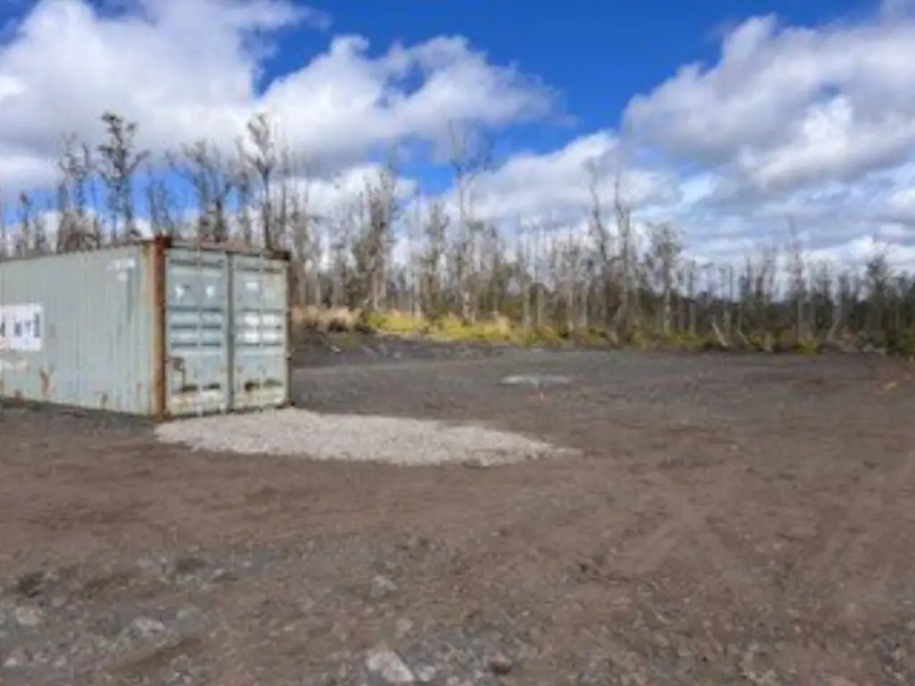
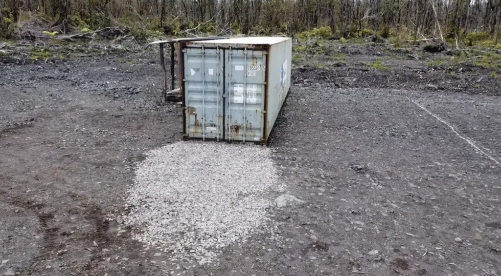
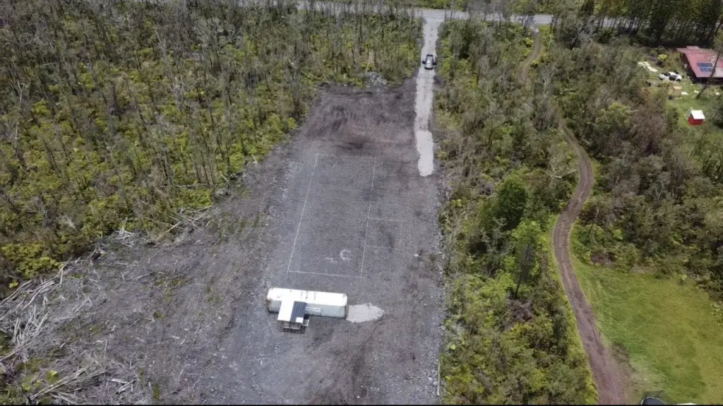
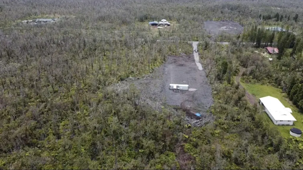
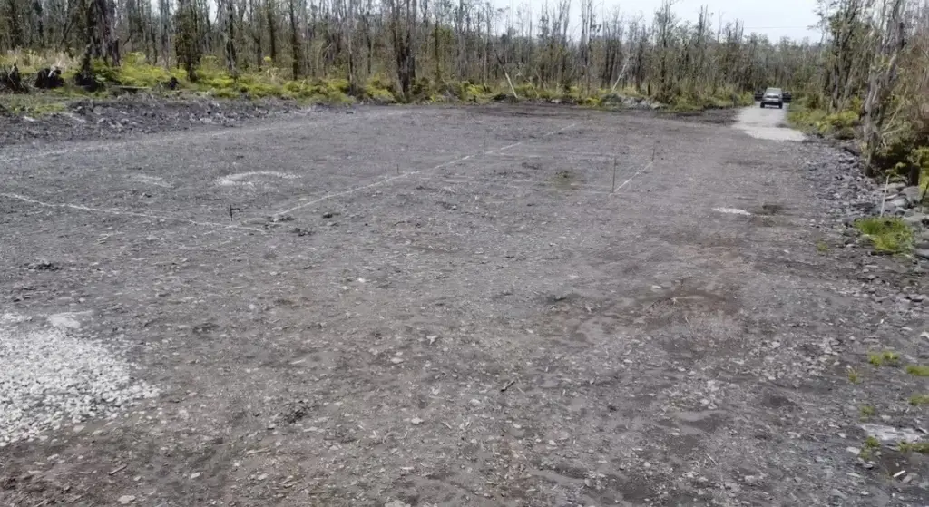
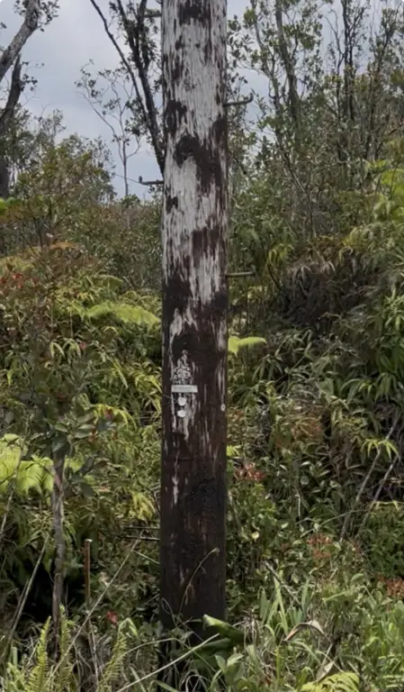
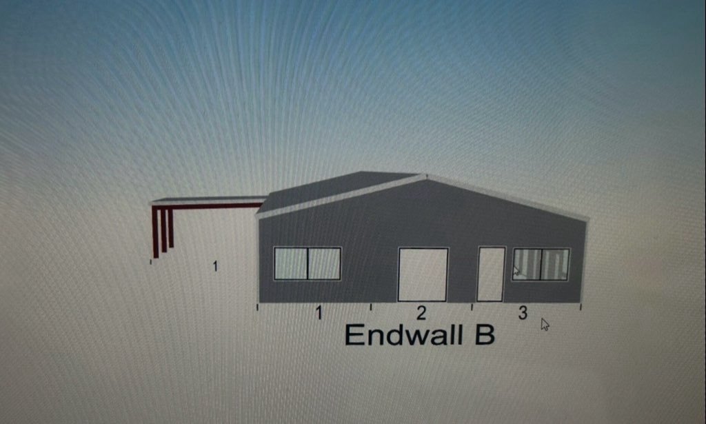
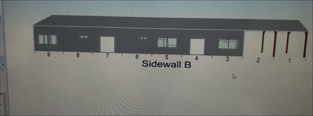
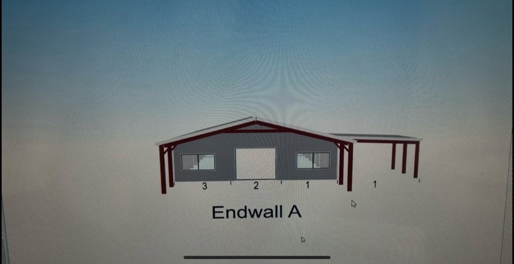
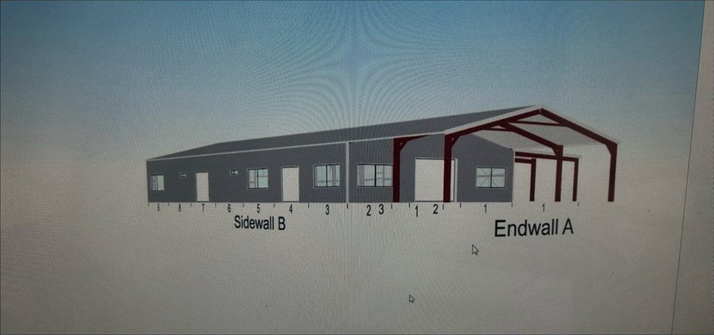
- 3‑acre agricultural parcel in Fern Forest with a cleared 110' x 60' housepad and 110' x 40' barndominium shell (4,400 SF listed).
- Barndominium shell size listed as 85'6" L x 40' W x 10'6" H, plus a 480 SF (24' x 20') attached carport.
- Gated entry with secured driveway to a cleared building pad, plus on‑site security cameras.
- Includes a 40‑foot container for secure storage on the property.
- Electricity available on site; septic tank sewer system listed.
Overview
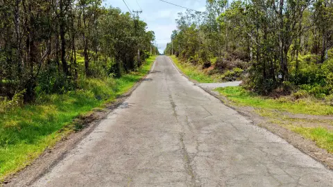
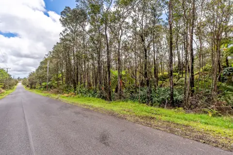
The property is located in Fern Forest and is described as being within driving distance of Hilo town, shopping, services, and beaches. Zoning is listed as A-3A. Security cameras are noted on site, and the listing emphasizes that the property must not be accessed without representation; all potential buyers must be accompanied by a buyer's agent.
For buyers seeking a build-ready agricultural setting, the combination of an established cleared pad, the included barndominium shell, and secure container storage can reduce early site preparation and provide a starting structure for a custom barn-style home, an agricultural building, or a live/work arrangement. The listing also notes that the floor plan and interior layout can be created by the new owner with a Hawaii-licensed architect or engineer.
Current Use by Public Records
Map
- City
- Volcano
- County
- Hawaii
- State
- Hawaii
- Longitude
- -155.1580857
- Latitude
- 19.4471947