
10th Rd & Trefoil Rd, Le Roy, KS 66857
- Added:
- Feb 10, 2026
- Days on Market:
- 146
- Last Refresh:
- Jul 6 at 6:06 am
Property Features for 10th Rd & Trefoil Rd
General Information
- Property type
- Land
- Property subtype
- Other
- Standard status
- Active
- Lot size
- 40.00 Acres
Utilities
- Water front features
- Creek

Listing agent Cameron Roth (620) 888-3040
Listing office Vaughn-Roth Land Brokers P.O. Box 225 512 Neosho St., Burlington, KS (620) 888-3040
Listing date Feb 10, 2026
Copyright © 2026 My State MLS. All rights reserved. All information provided by the listing agent/broker is deemed reliable but is not guaranteed and should be independently verified.
HighLights
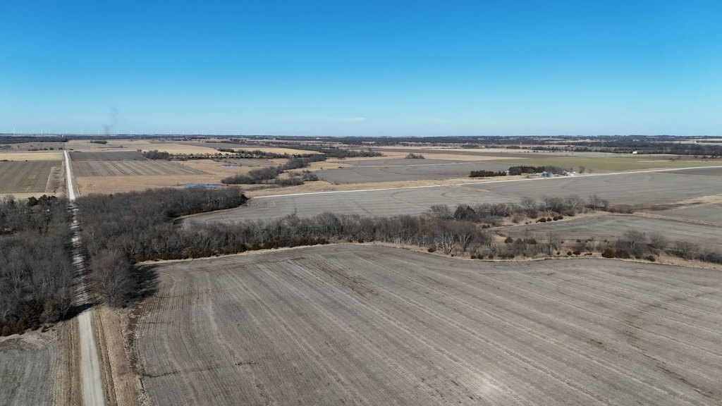
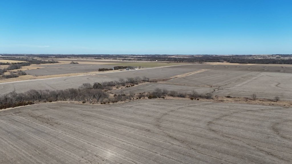
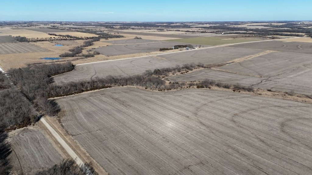
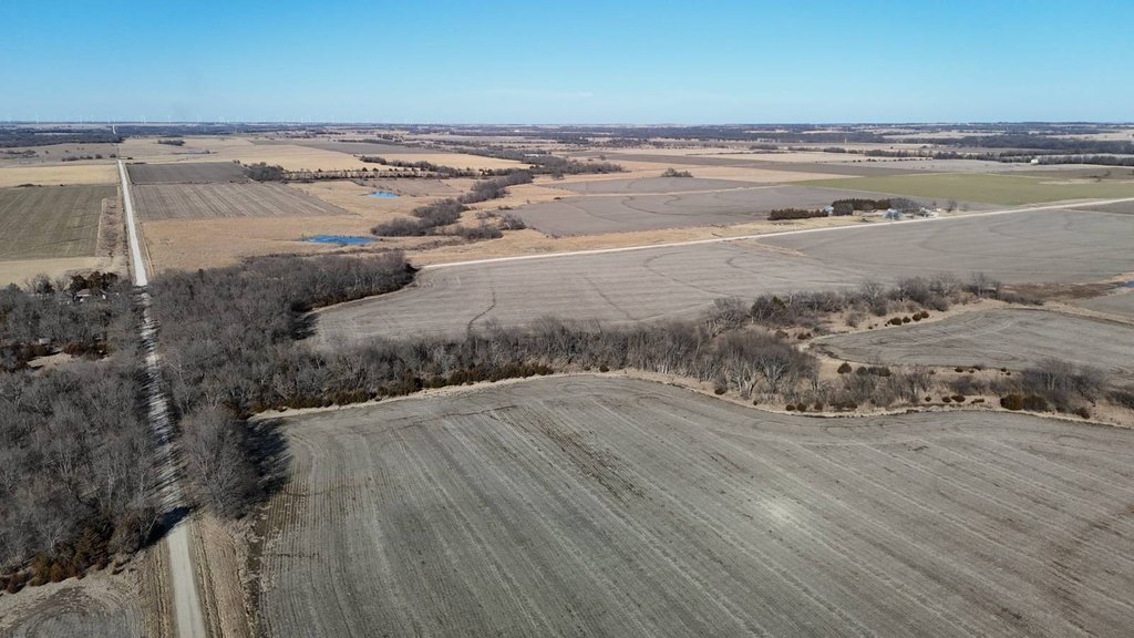
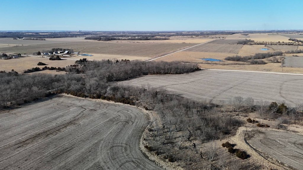
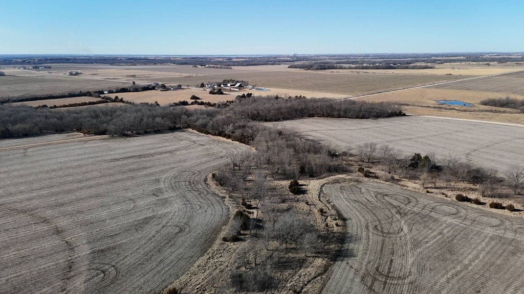
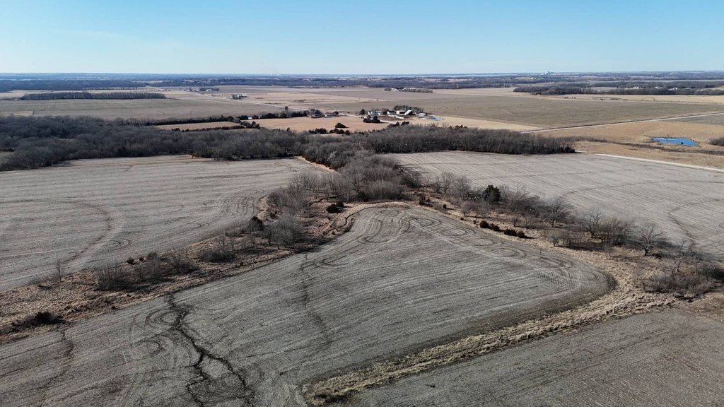
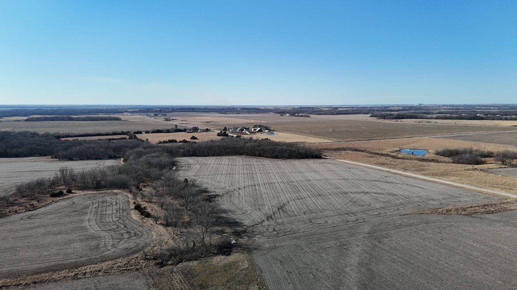
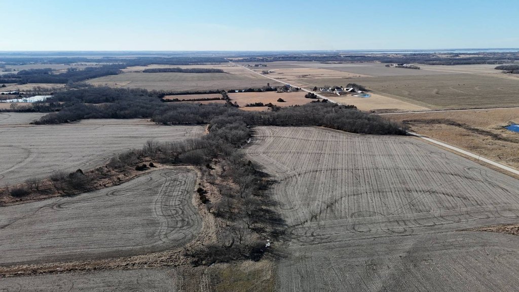
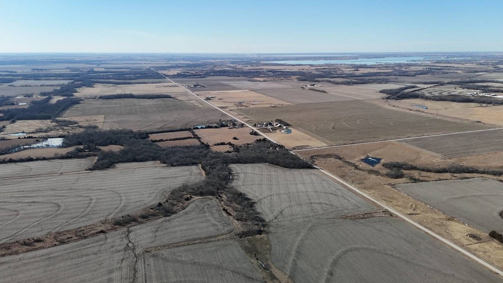
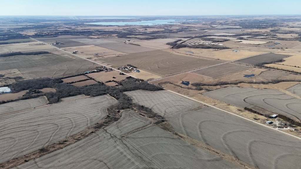
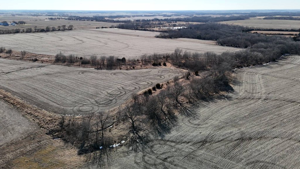
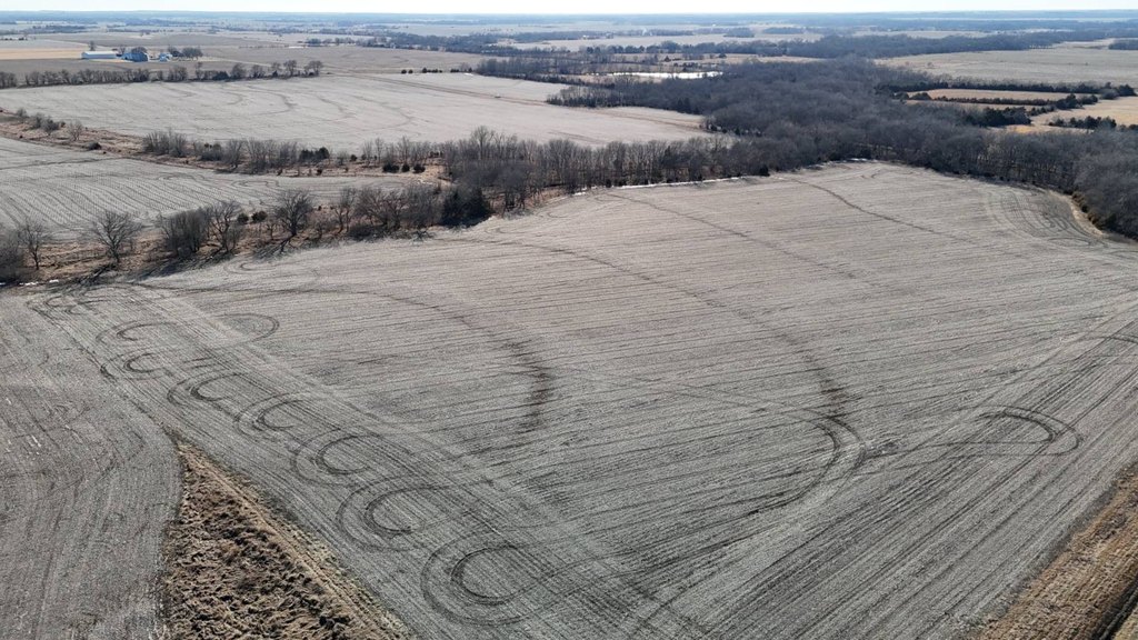
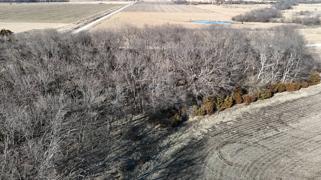
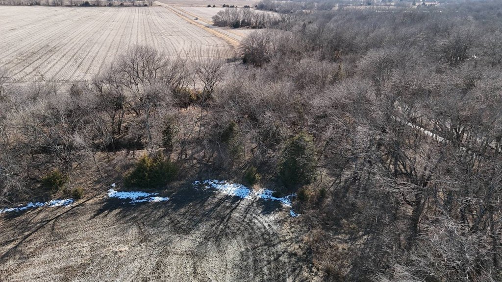
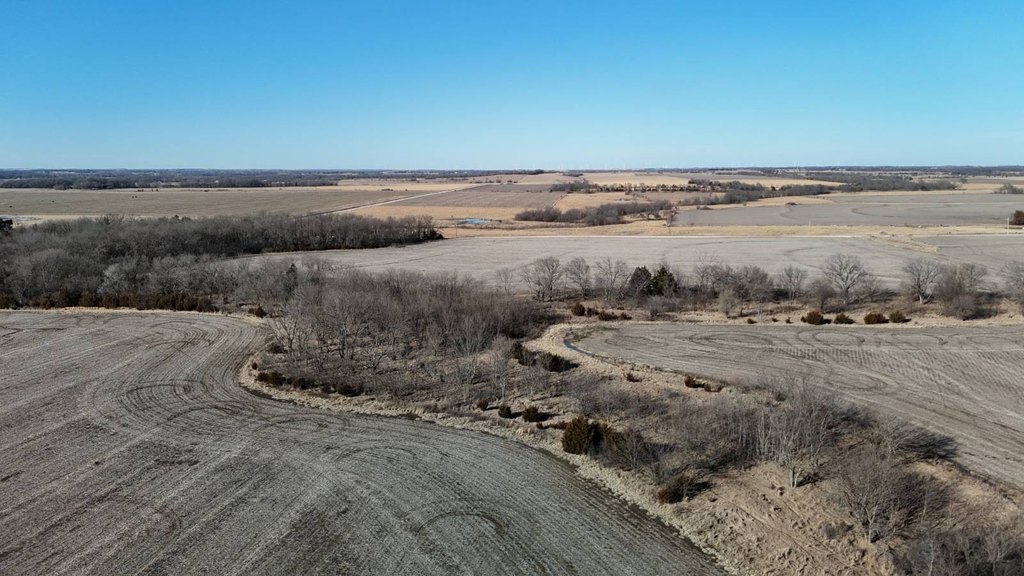
- 40 acres total (more or less) in Coffey County, Kansas
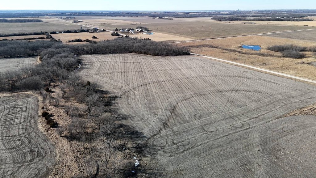
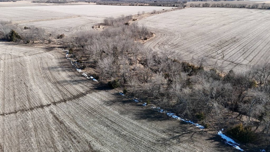
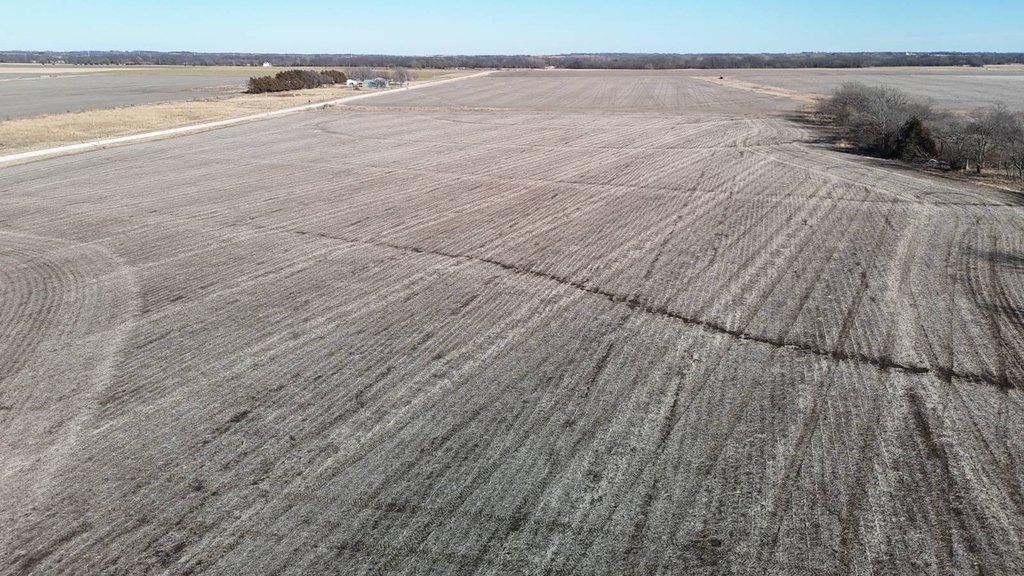
- Cropland totals approx. 25 acres with Kenoma silt loam and Dennis silt loam (1–3% slope)
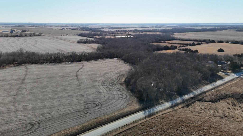
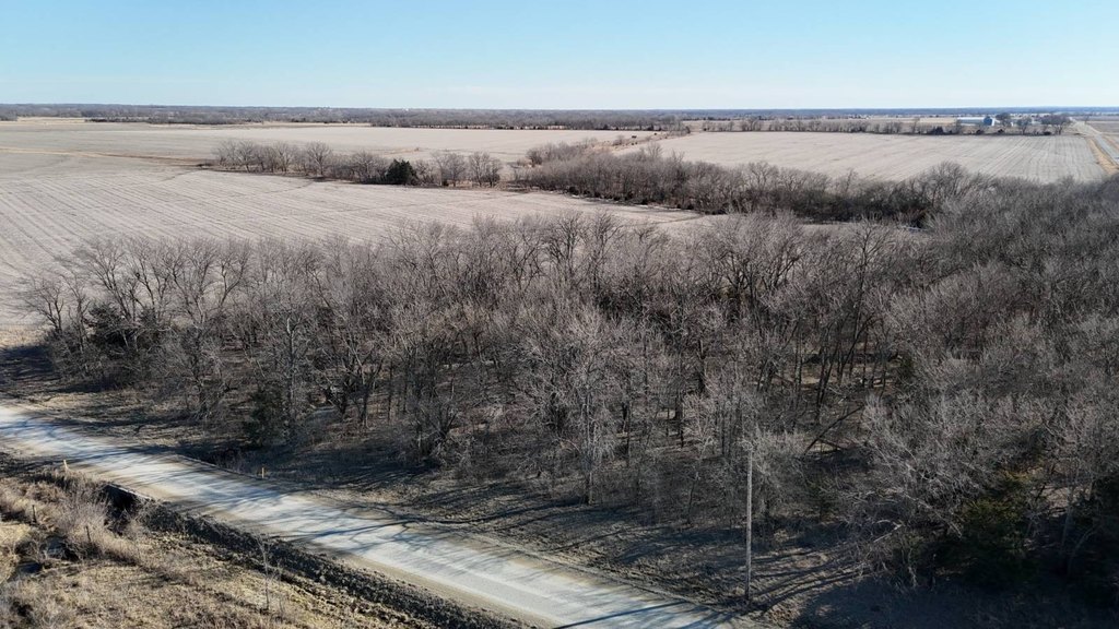
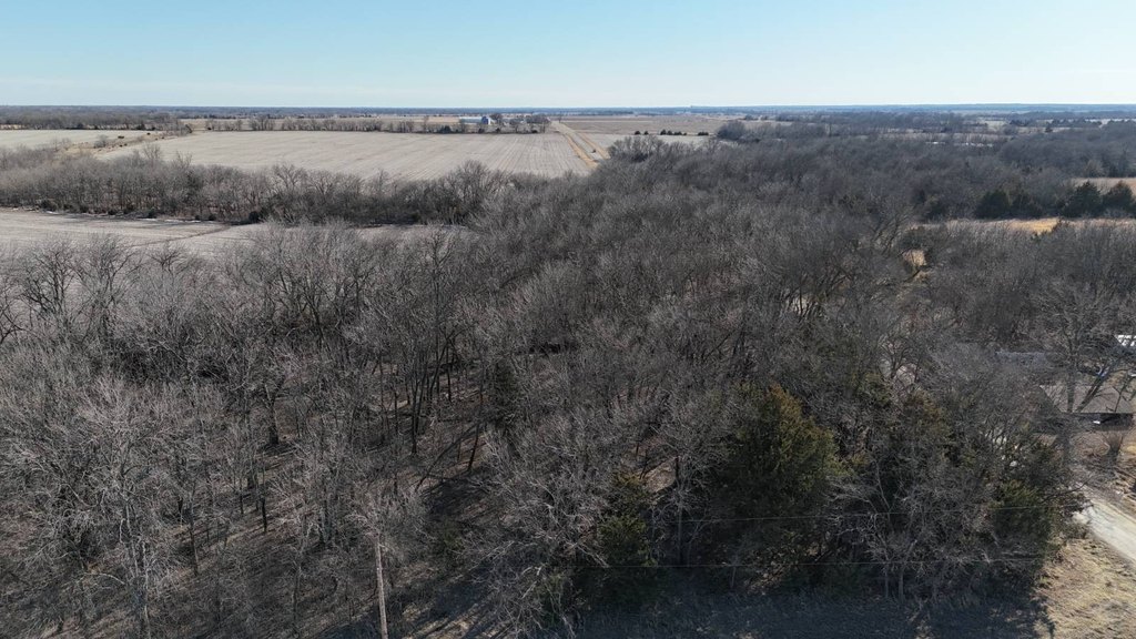
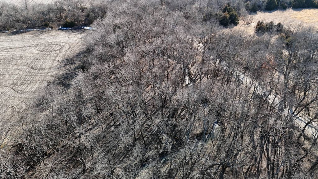
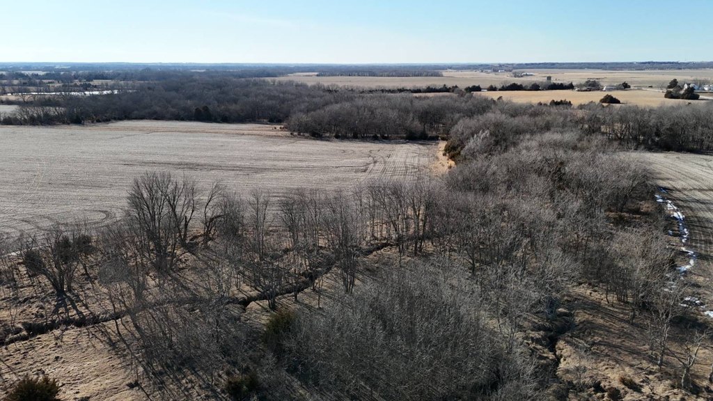
- Badger Creek with waterfront feature listed as Creek, plus a mix of hardwood timber and conifers along the water
- Utilities: electric service borders the north boundary and rural water line from Coffey County Rural Water District #3 borders the property
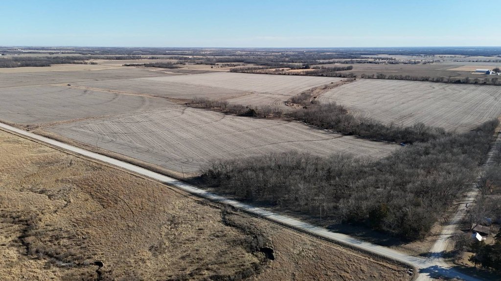
- Access to pavement: 1 mile to Shetland Road and 2 miles to 12th Rd for commuting to LeRoy, Wolf Creek Nuke area, Burlington, and Garnett
- Legal description: NW 1/4 of NW 1/4 of Section 1, Township 22 South, Range 16 East of the 6th P.M., Coffey County, KS
Overview
Access is described as a short drive west of about one mile to reach pavement at Shetland Road, which runs south to LeRoy and north to Wolf Creek Nuke. The property is also described as approximately two miles to pavement of 12th Rd. Electric service borders the north boundary, and a rural water line belonging to Coffey County Rural Water District #3 borders the site.
The land configuration may fit buyers seeking flexible agricultural and recreational use. The cropland could be leased to an area farmer, and the mix of timber and open ground may also support grazing-related plans, depending on the buyer’s preferences. For rural water availability and costs, the listing directs inquiries to Coffey County RWD #3. Legal description is Northwest 1/4 of the Northwest 1/4 of Section 1, Township 22 South, Range 16 East of the 6th P.M., Coffey County, Kansas.
Current Use by Public Records
Map
- City
- Le Roy
- County
- Coffey
- State
- Kansas
- Longitude
- -95.607903
- Latitude
- 38.168342


