
10809 SE Durgan Ranch Rd, Paulina, OR 97751
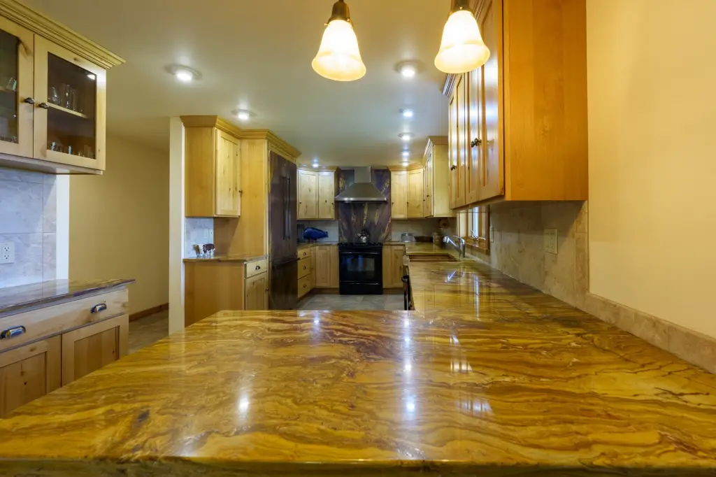
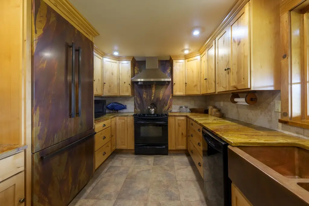
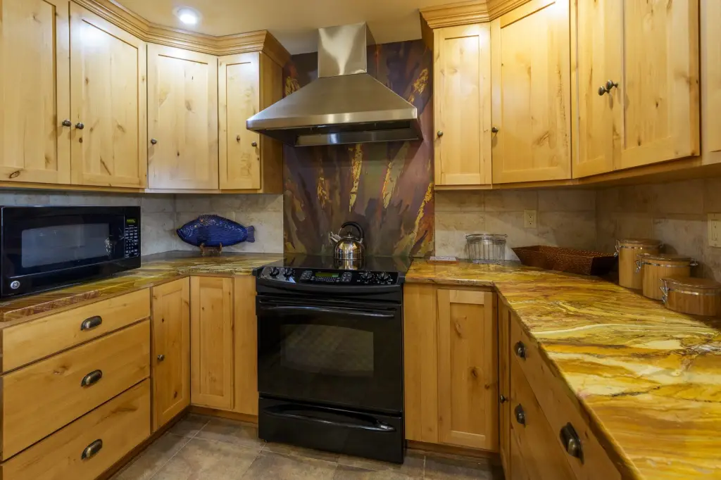
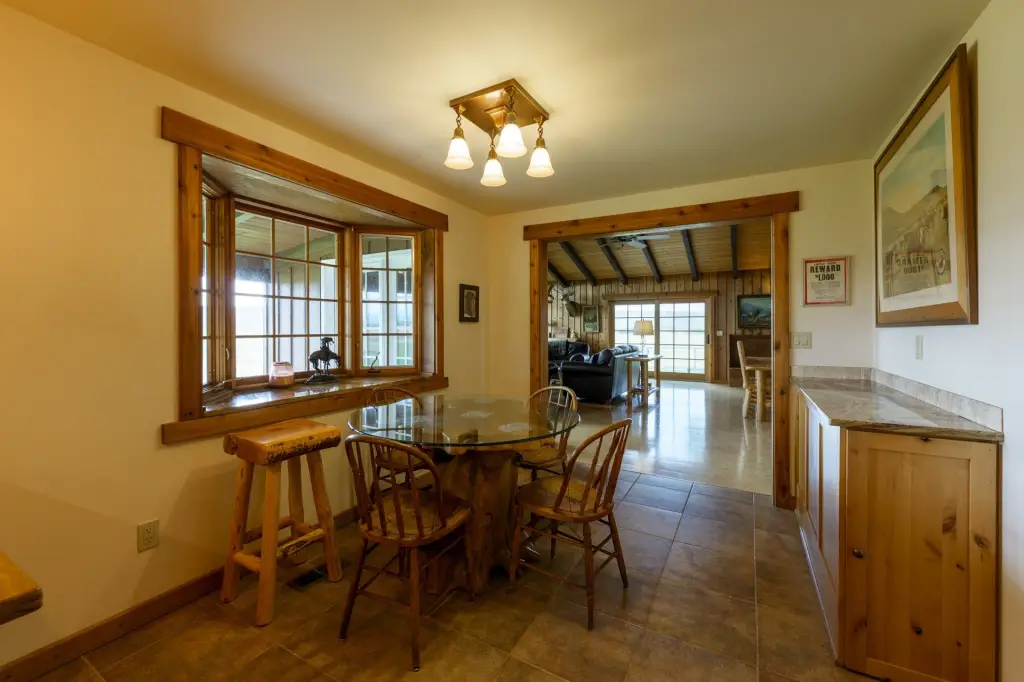
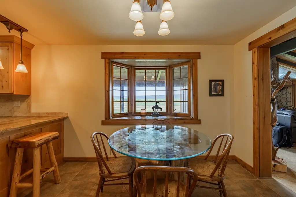
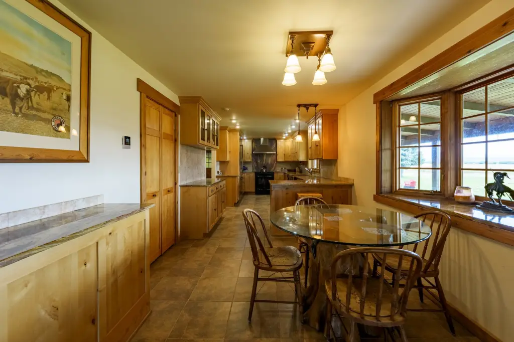
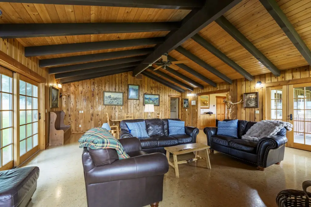
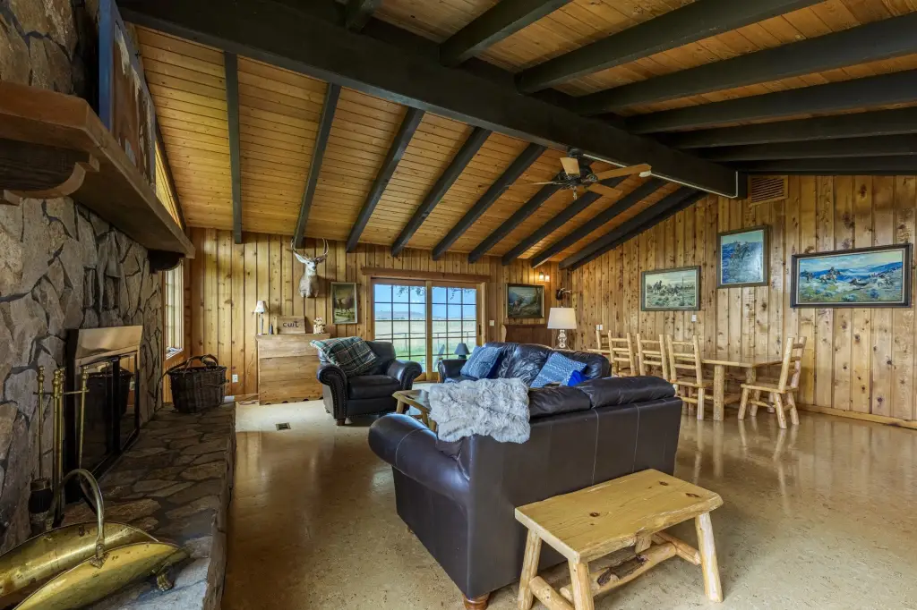
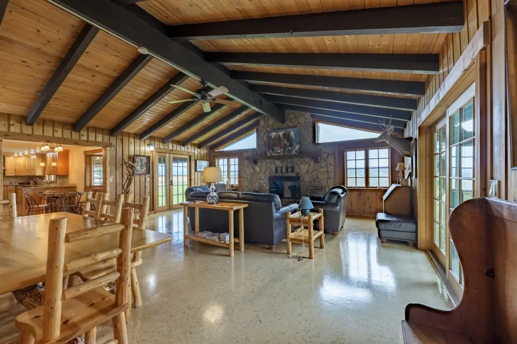
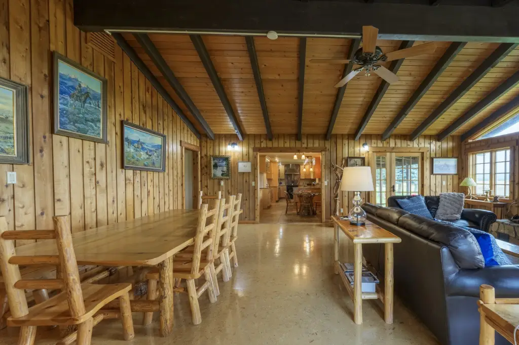
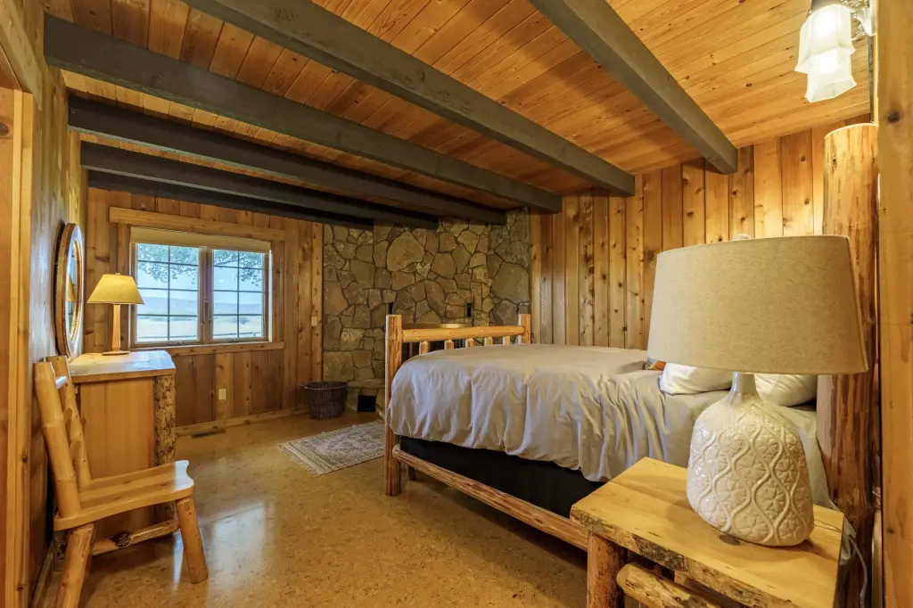
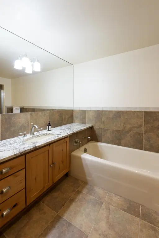
Vacant Land - Paulina, OR
- Added:
- Nov 1, 2025
- Days on Market:
- 248
- Last Refresh:
- Jul 6 at 2:06 am
Property Features for 10809 SE Durgan Ranch Rd
General Information
- Property type
- Land
- Property subtype
- Other
- Bedrooms
- 3
- Bathrooms
- 3
- Rooms
- Bathroom 1, Bathroom 2, Bathroom 3, Bedroom 1, Bedroom 2, Bedroom 3
- Parking features
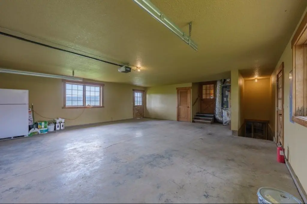
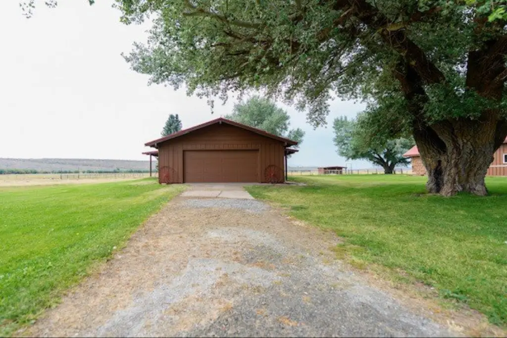
- Garage
- Standard status
- Active
- Size
- 4,340 SF
- Lot size
- 8,053.10 Acres
Taxes and HOA fees
- Tax Annual Amount
- 0
Building Details
- Architectural style
- Other
Listing agent Dally Zander (541) 589-2195
Listing office Ken Thomas Real Estate 64347 Harney Ave., Crane, OR (541) 589-3433
Listing date Nov 1, 2025
Copyright © 2026 My State MLS. All rights reserved. All information provided by the listing agent/broker is deemed reliable but is not guaranteed and should be independently verified.
HighLights
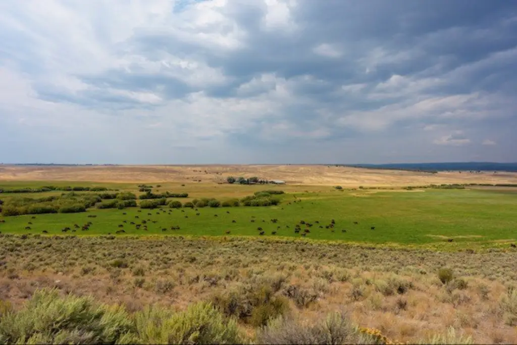
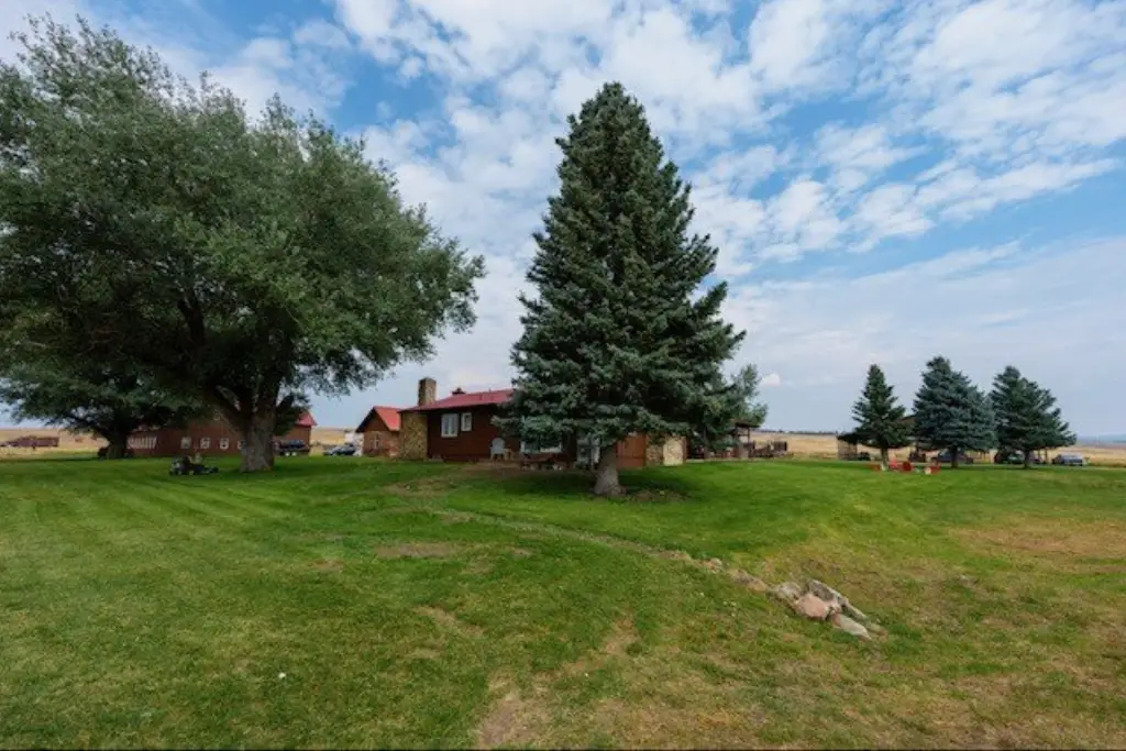
- 8,053.1 deeded acres in one contiguous block with no other land owners within the block
- Ranch borders Forest Service to the north and provides access to USFS property
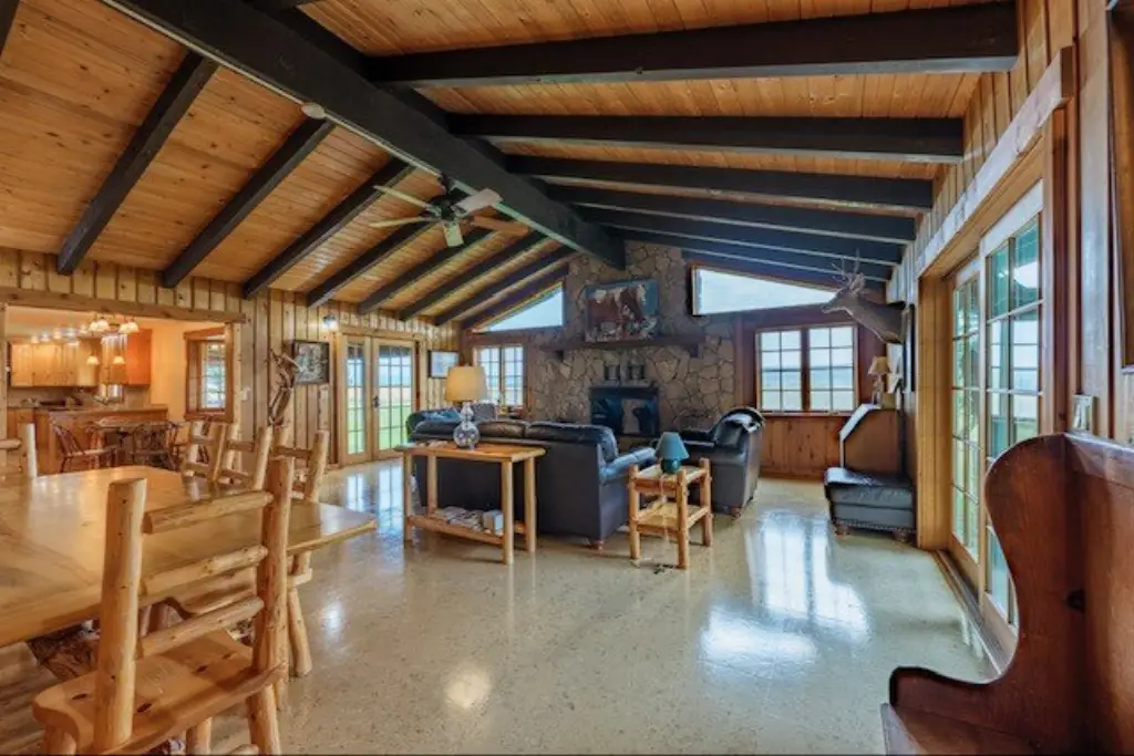
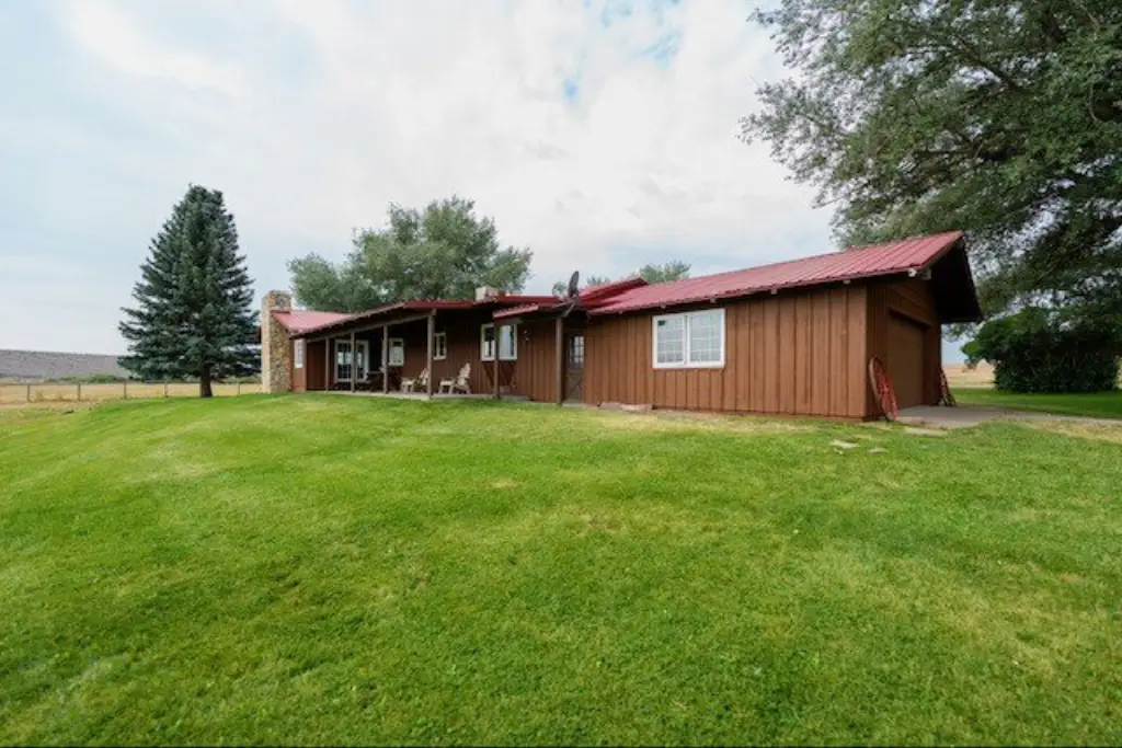
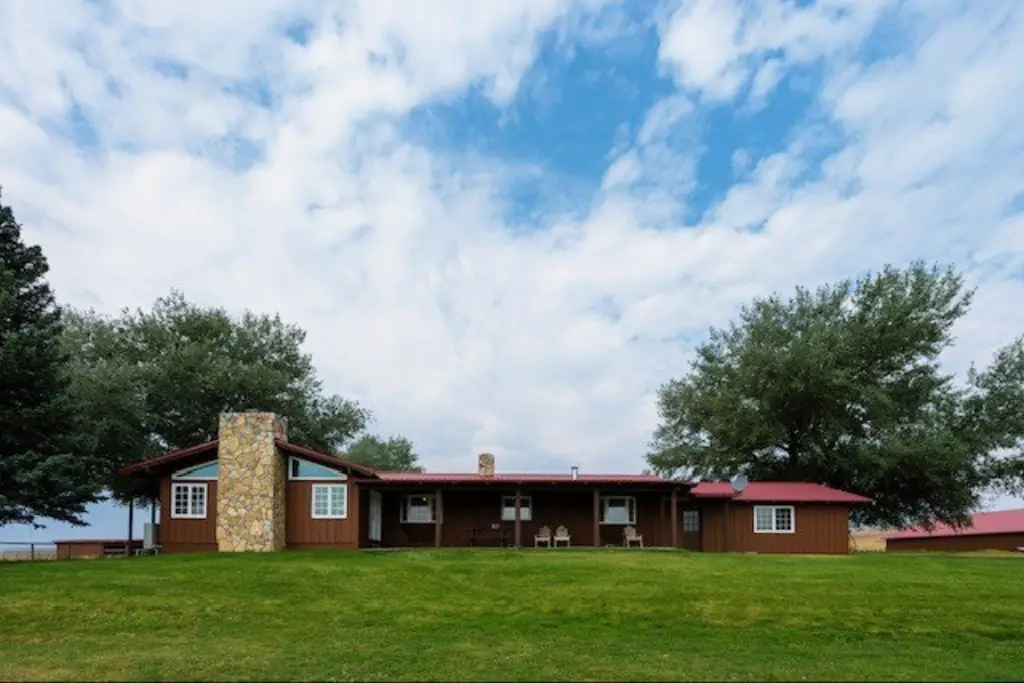
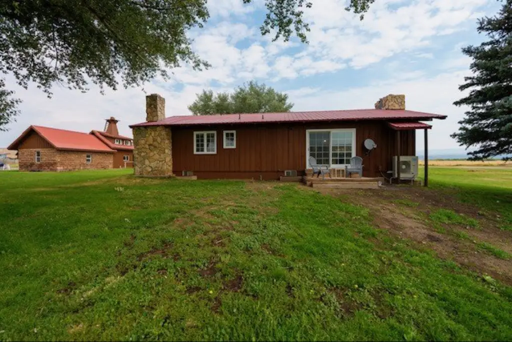
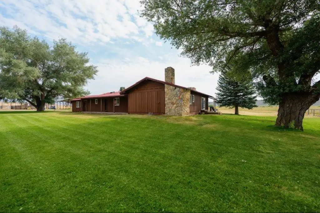
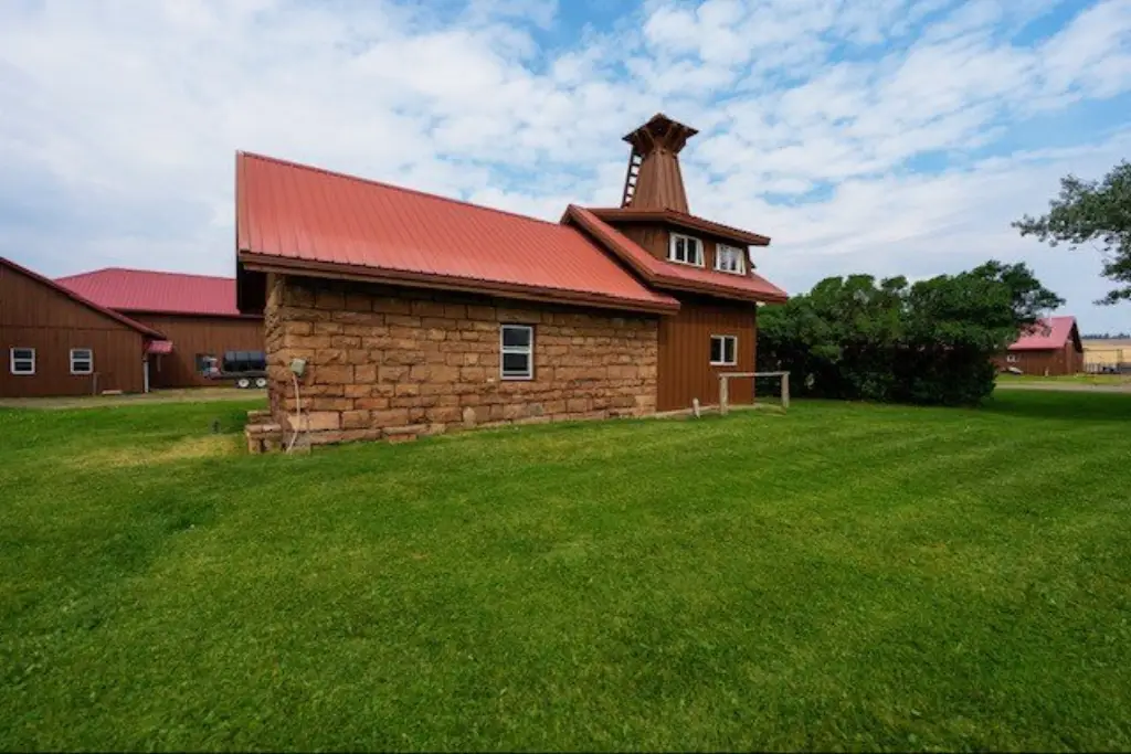
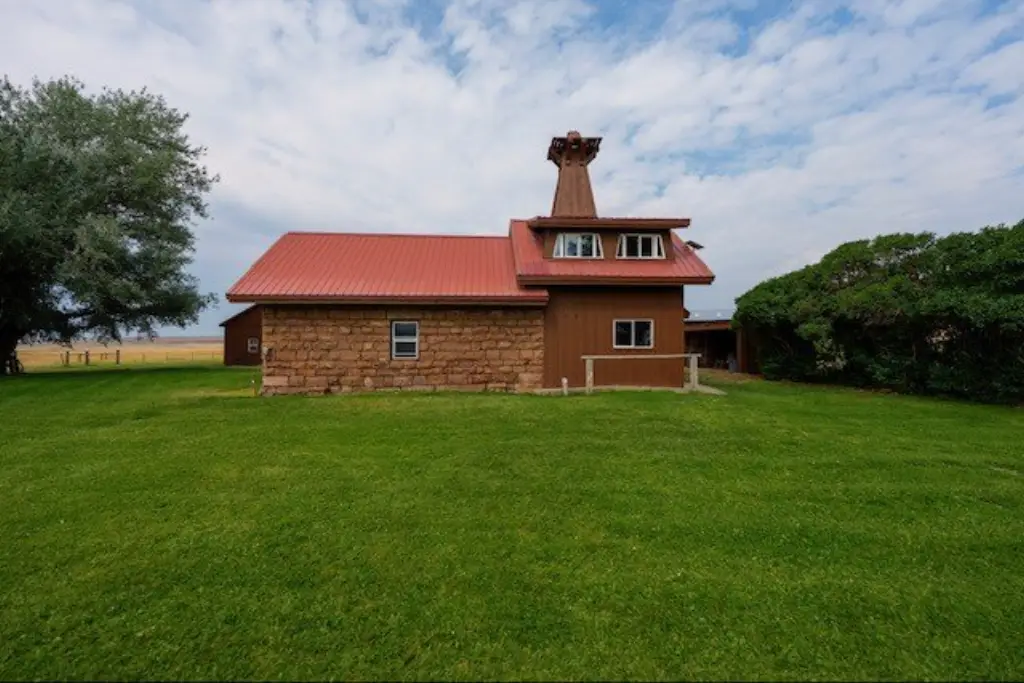
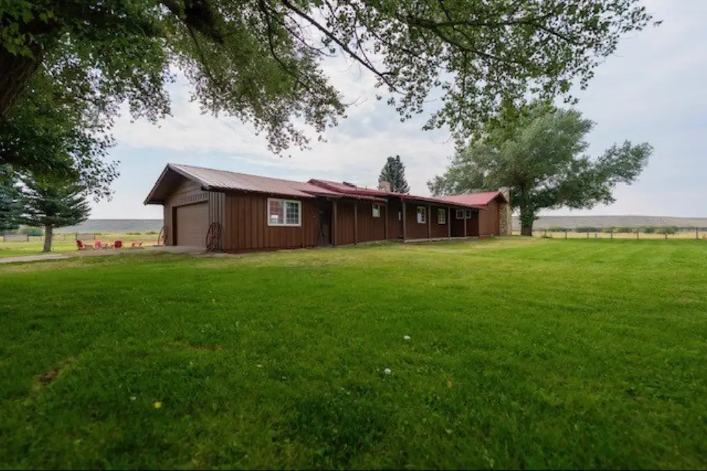
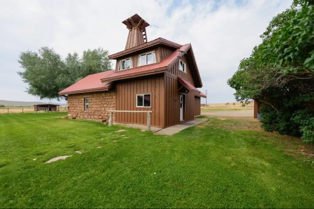
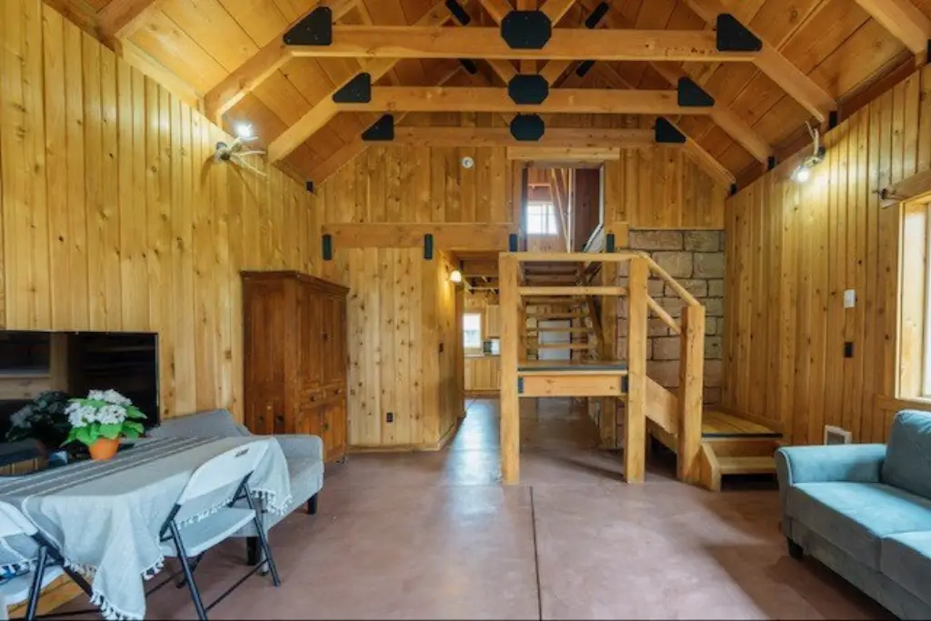
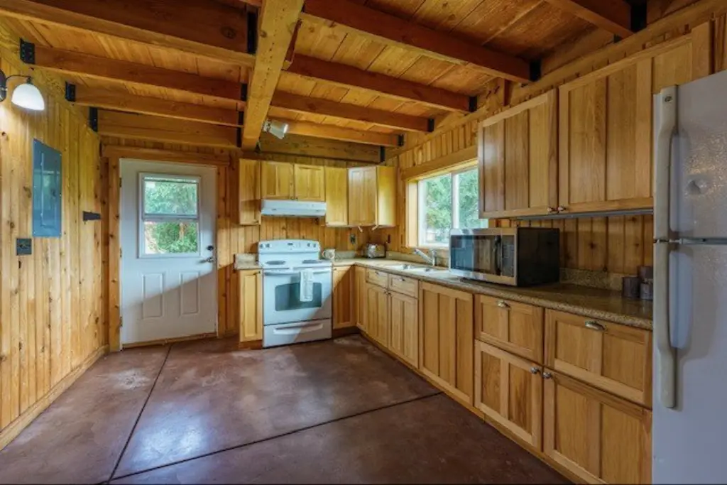
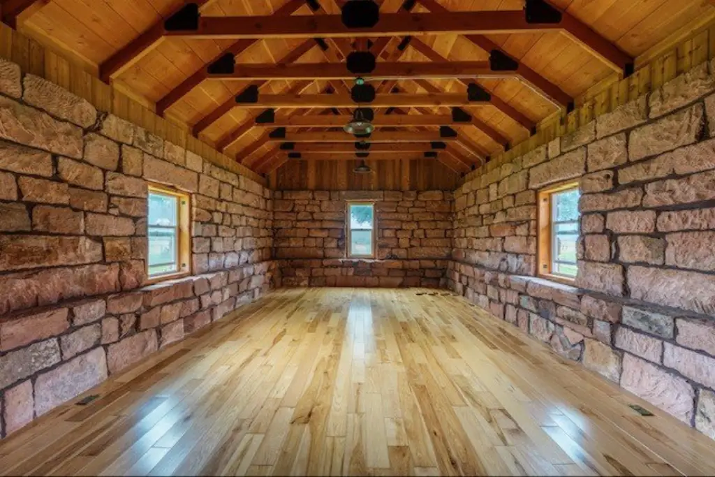
- Three homes on the ranch, supporting an owner, ranch manager, and hired help
- Multiple interior fences and ranch used for cattle operations
- Multiple seasons of use noted, including current grazing plus one season for hay harvesting
- Year‑round access via paved roads; located about 8 miles NE of Paulina, OR
Overview
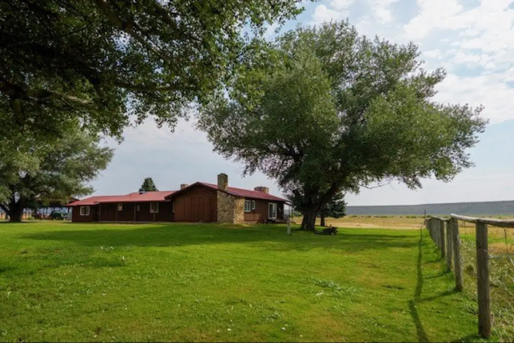
The property is accessed year-round by paved roads and is described as fairly remote, sitting by itself in the valley. The ranch also provides access to USFS property, and the views are described in the remarks as spectacular. The ranch is located approximately 8 miles northeast of Paulina, Oregon.
As a working ranch, the property is currently being utilized for grazing, with hay harvesting noted for one season. The remarks further describe the ranch as turn-key for cattle operations and mention government permits that may provide rainfall insurance benefits based on total acres, along with a county drought relief program in drought years. The property was formed by combining two neighboring ranches in 2020, allowing access between the ranches as a single working ranch in conjunction with Forest Service allotments. This combination also contributes to the ranch’s continued availability as a single sale after several decades.
Current Use by Public Records
Map
- City
- Paulina
- County
- Crook
- State
- Oregon
- Longitude
- -119.8677
- Latitude
- 44.207


