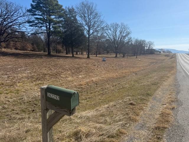
0000 K Trail, Clayton, OK 74536

- Added:
- Feb 19, 2026
- Days on Market:
- 106
- Last Refresh:
- Jun 5 at 6:06 am
Property Features for 0000 K Trail
General Information
- Property type
- Land
- Property subtype
- Other
- Parking features
- Garage
- Standard status
- Active
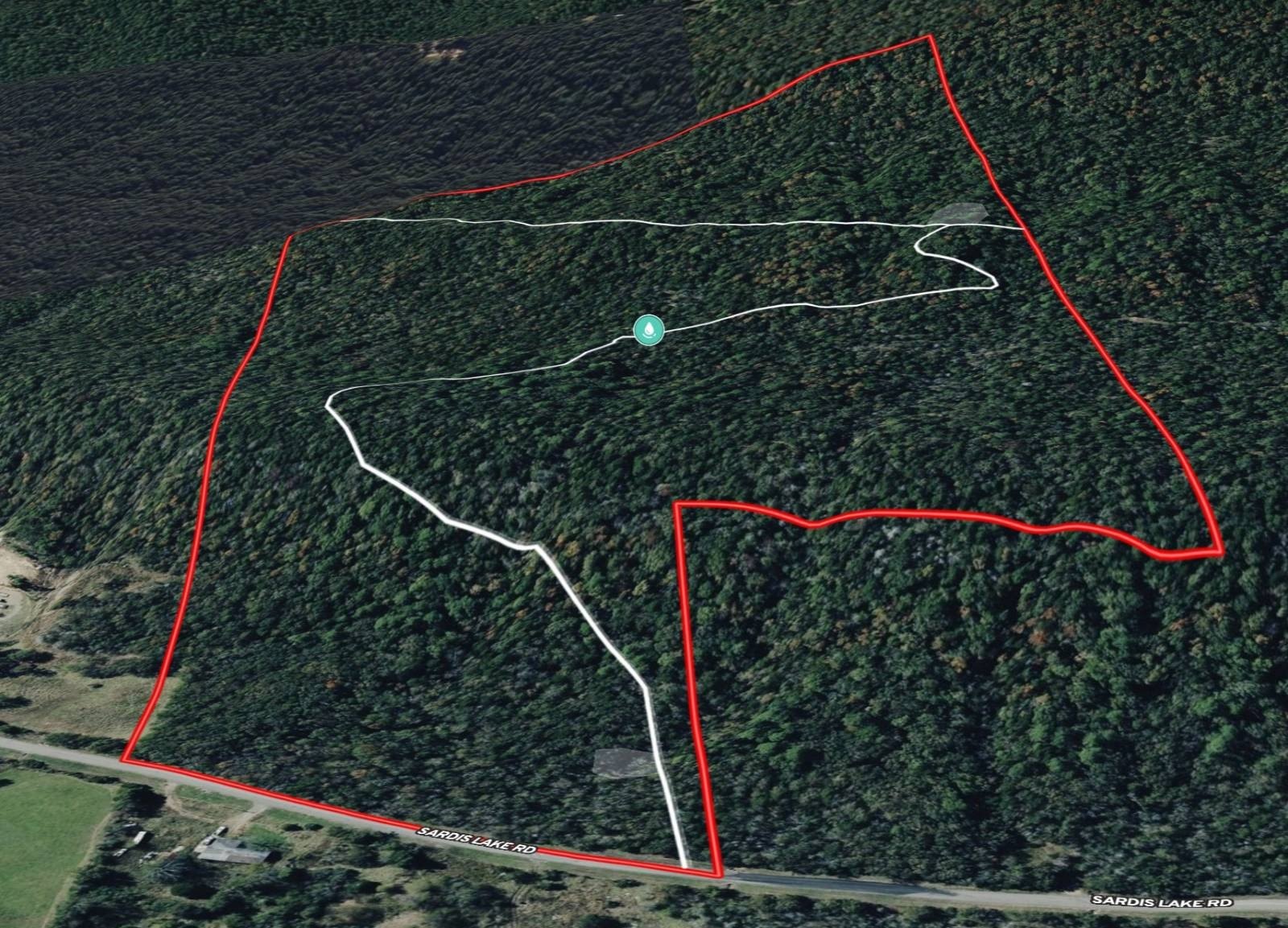
- Lot size
- 140.00 Acres
Taxes and HOA fees
- Tax Annual Amount
- 0
Building Details
- Architectural style
- Other
Listing agent Owen Bellis 833USEAHLC
Listing office Arrowhead Land Company 205 E Dewey Ave, Sapulpa, OK (833) 873-2452
Listing date Feb 19, 2026
Copyright © 2026 My State MLS. All rights reserved. All information provided by the listing agent/broker is deemed reliable but is not guaranteed and should be independently verified.
HighLights
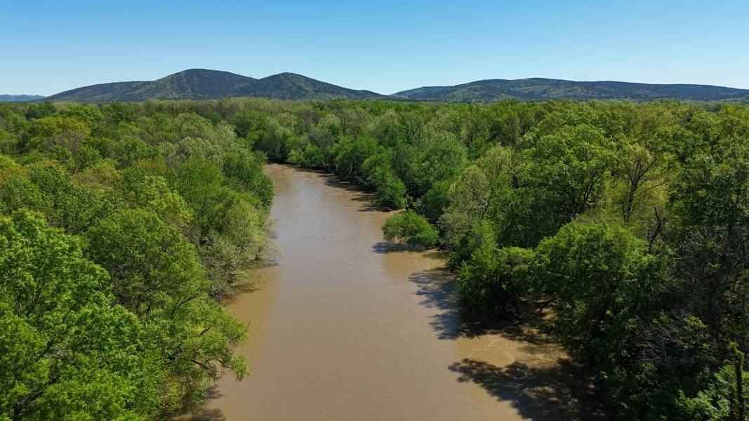
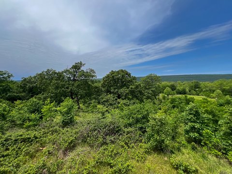
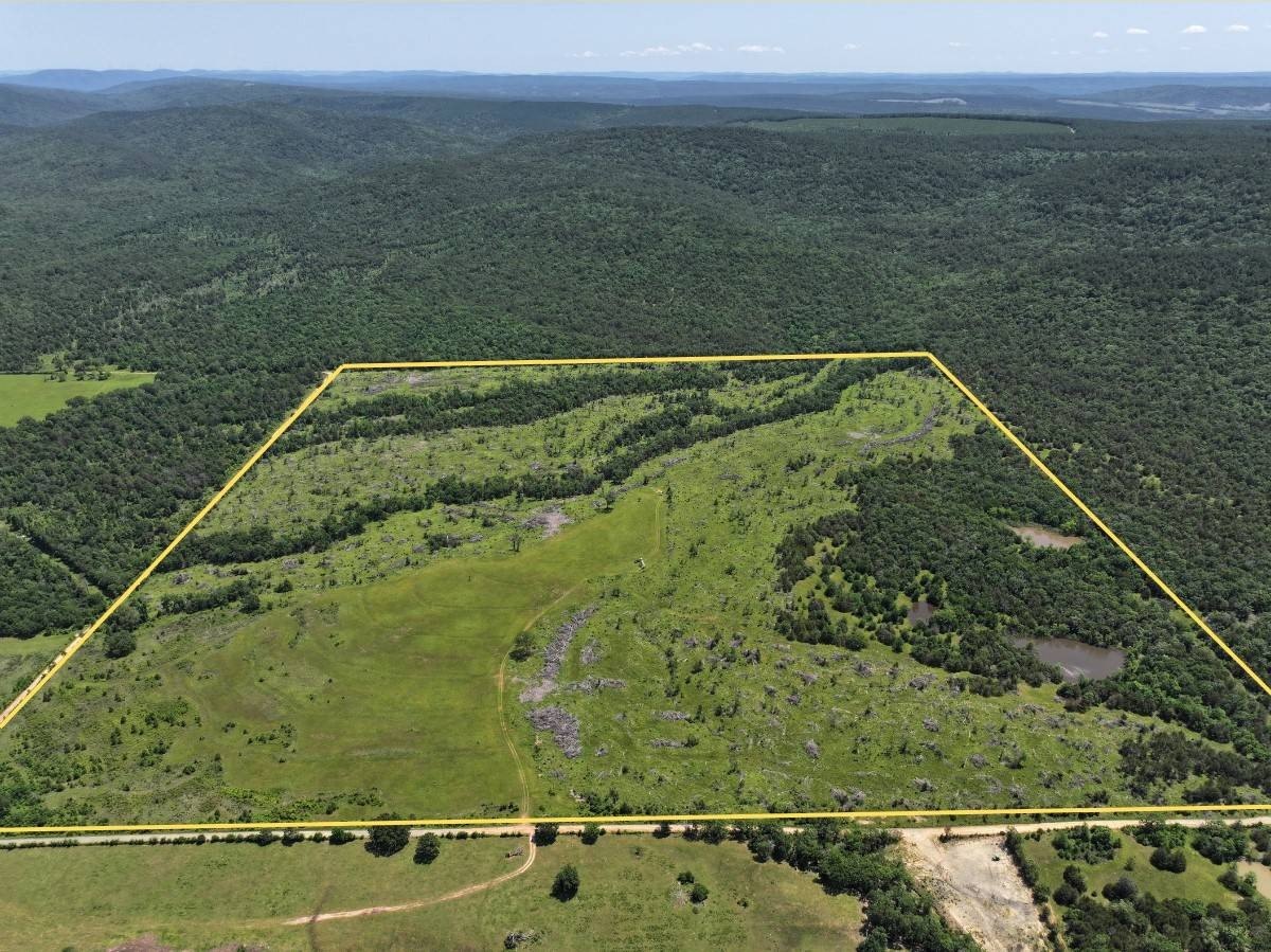
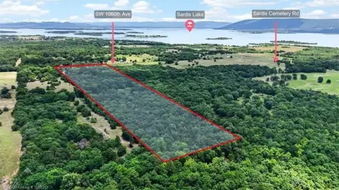
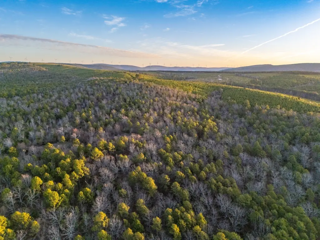
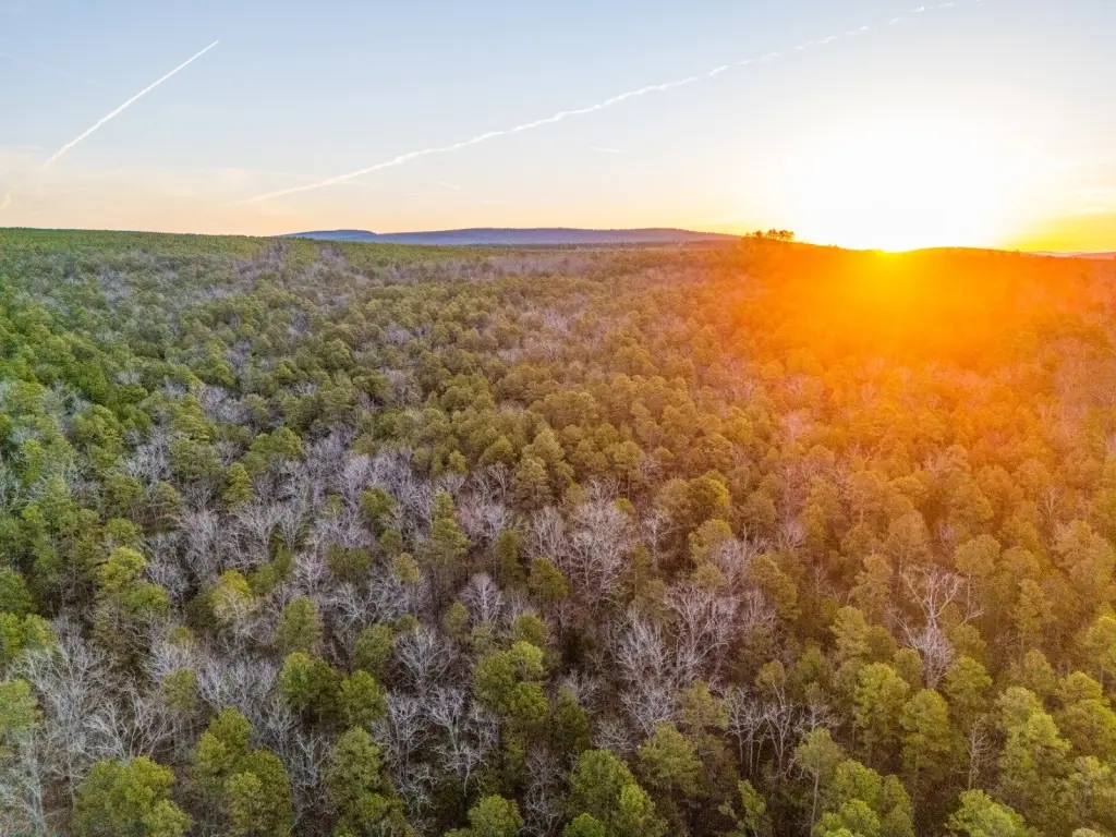
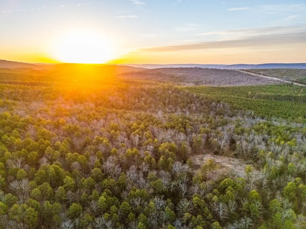
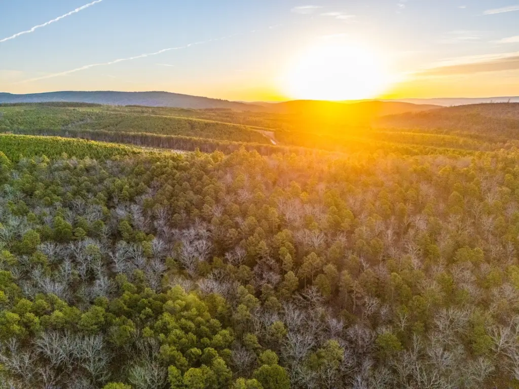
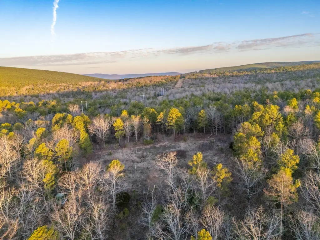
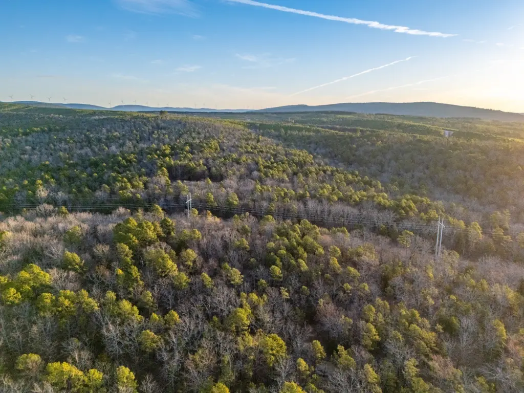
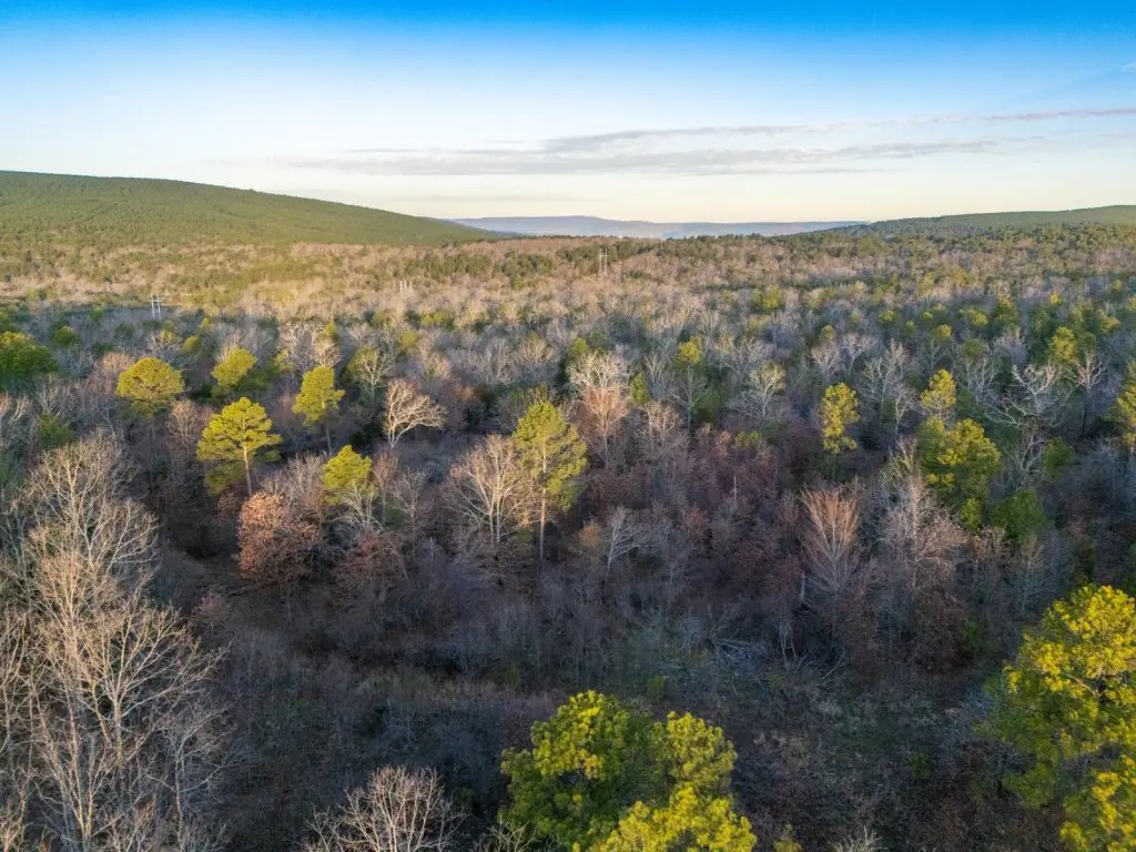
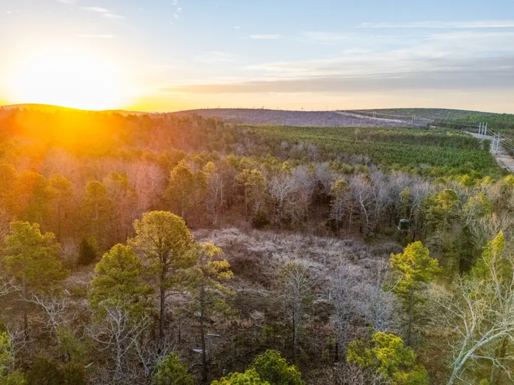
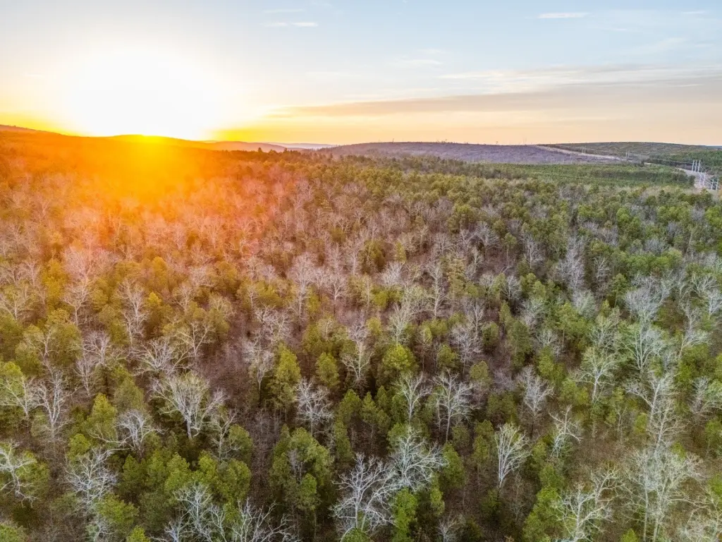
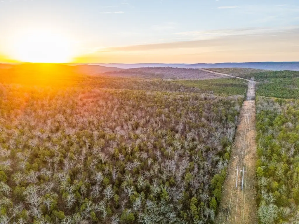
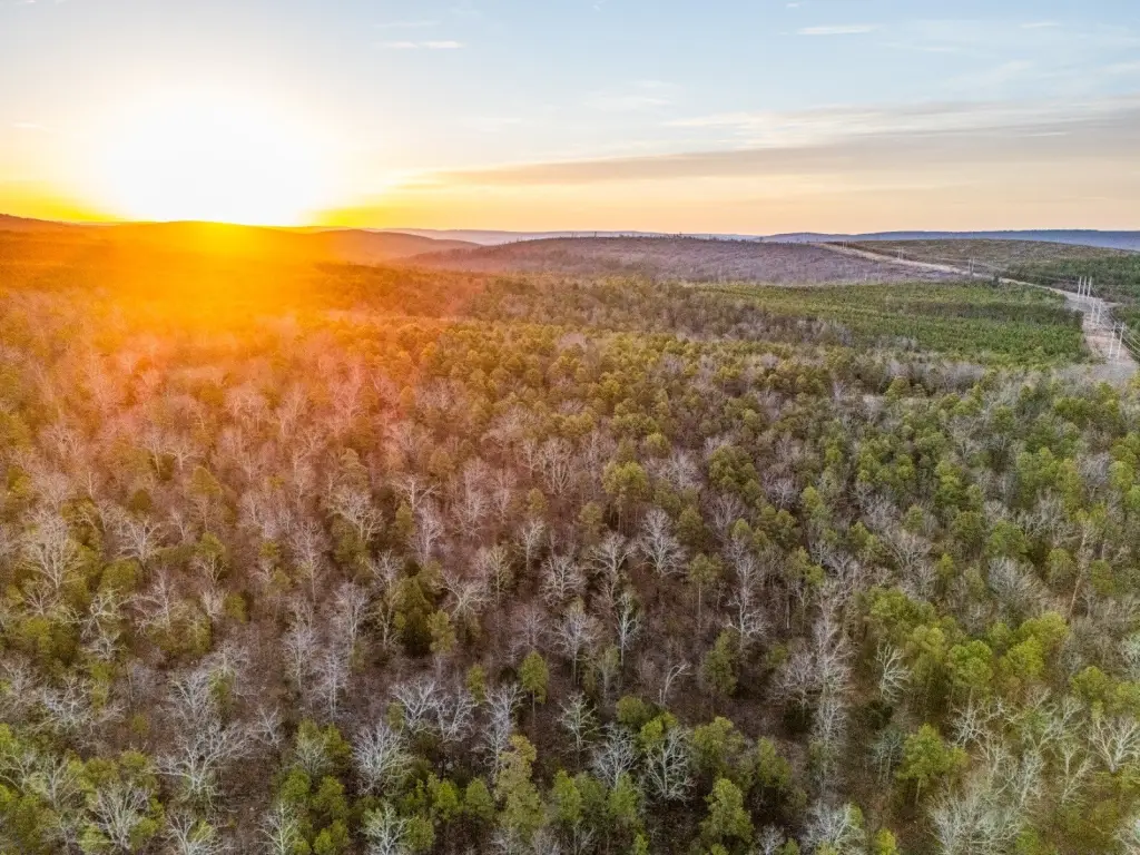
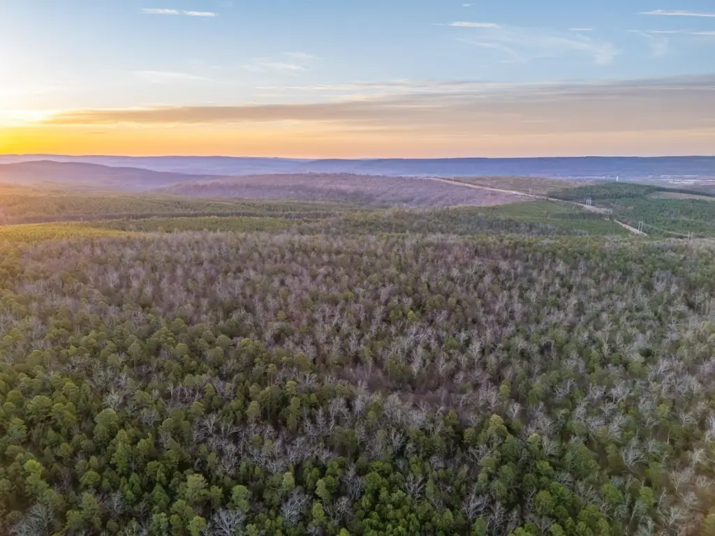
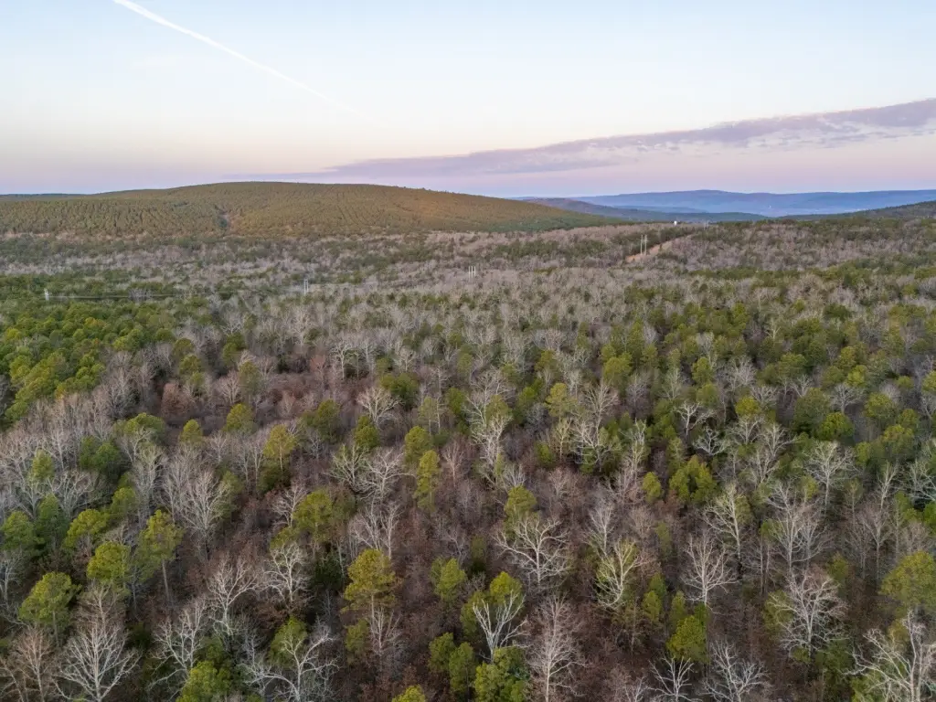
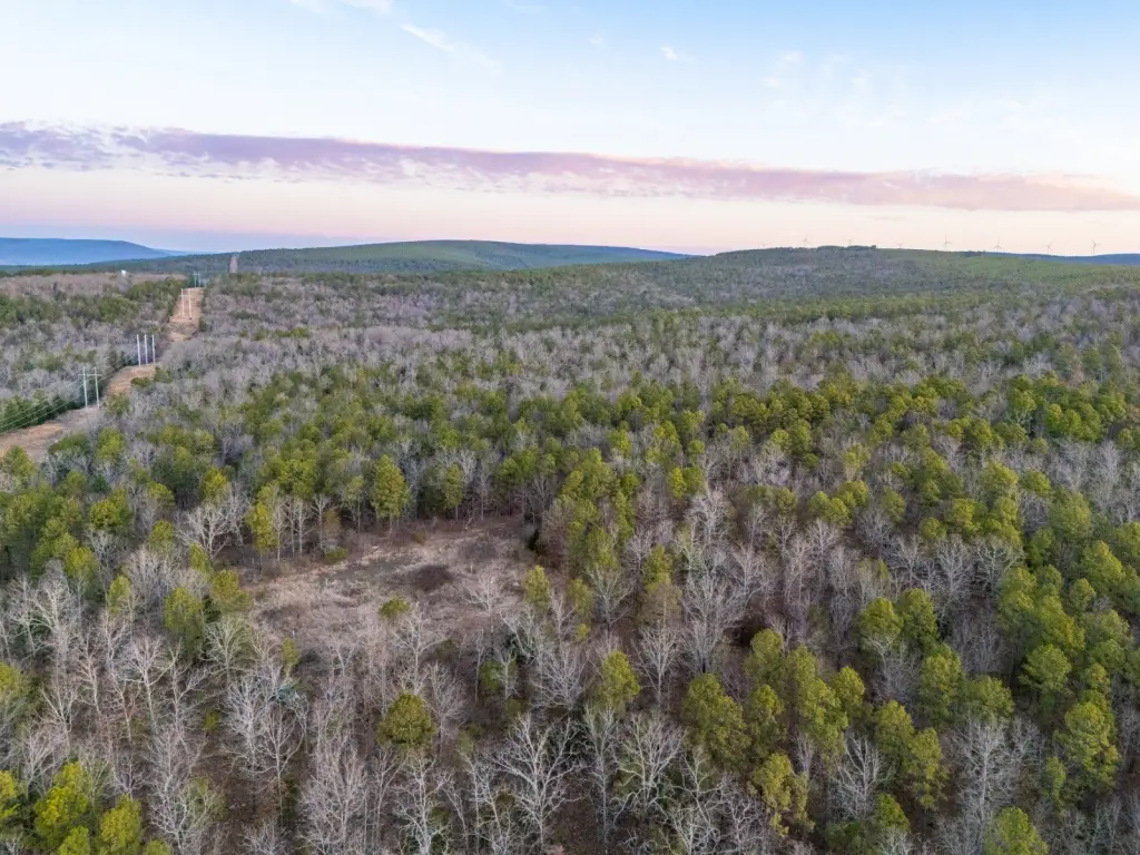
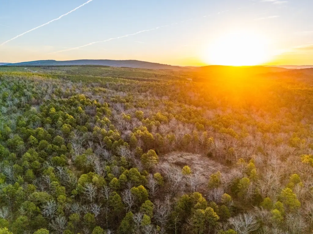
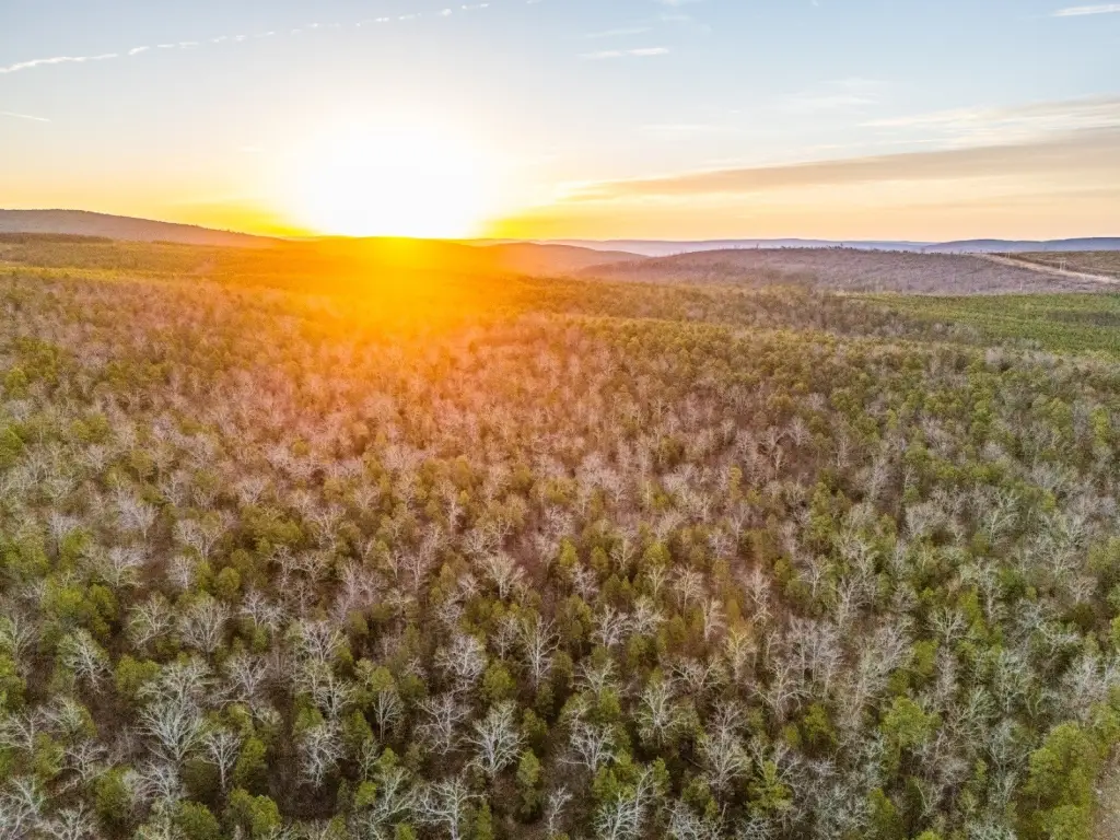
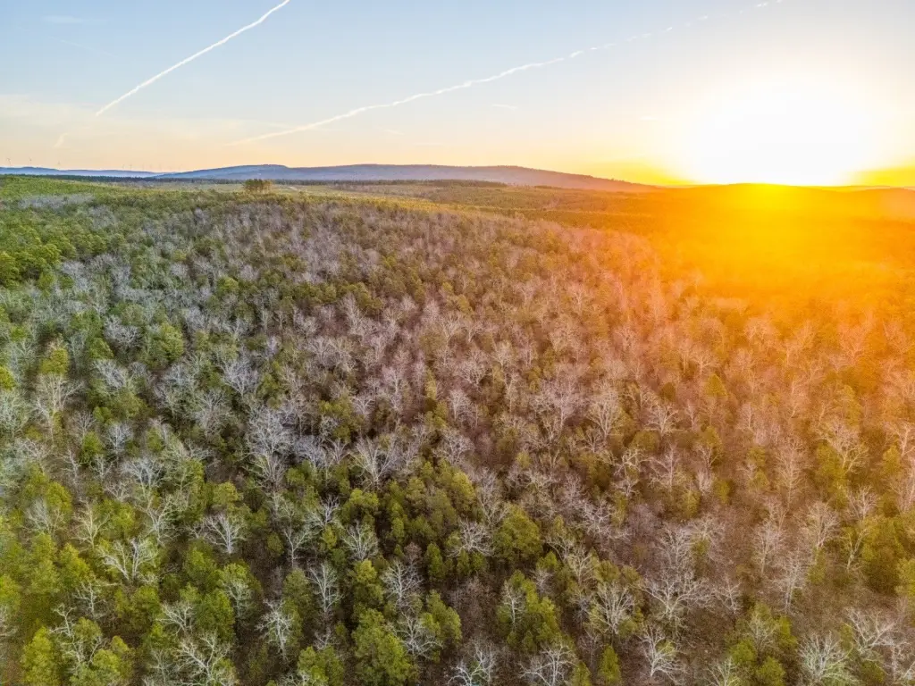
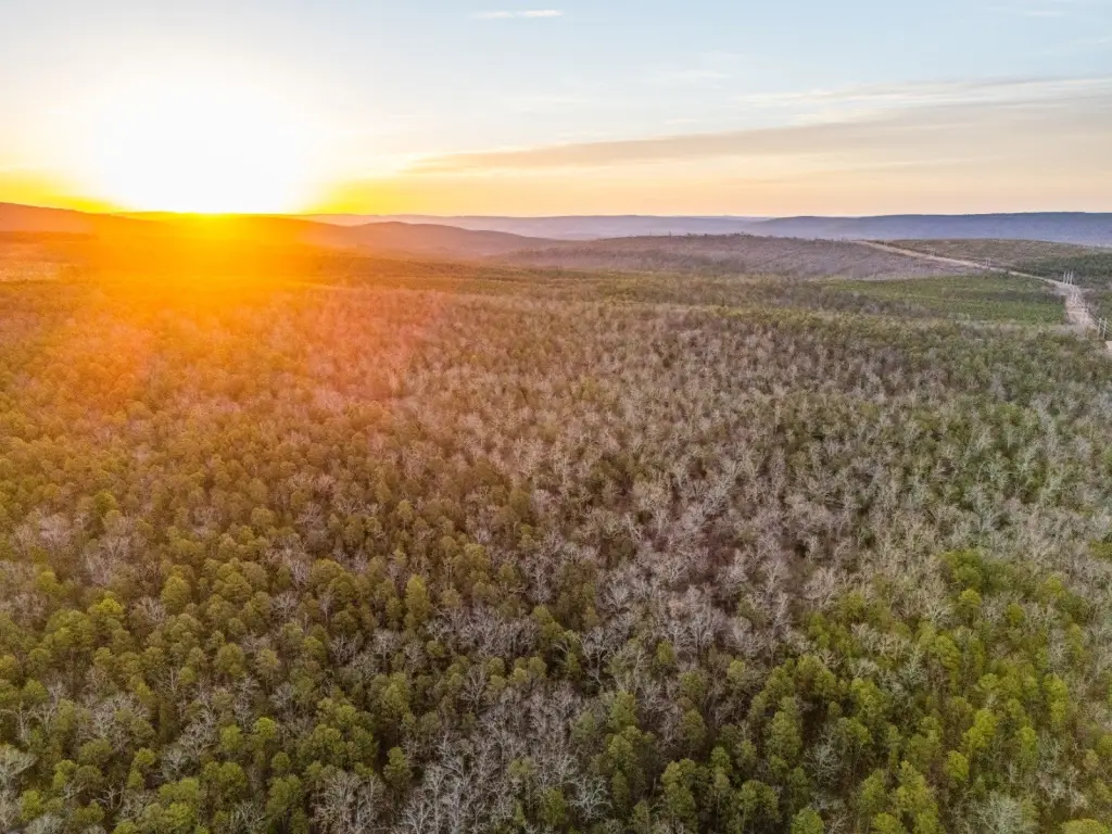
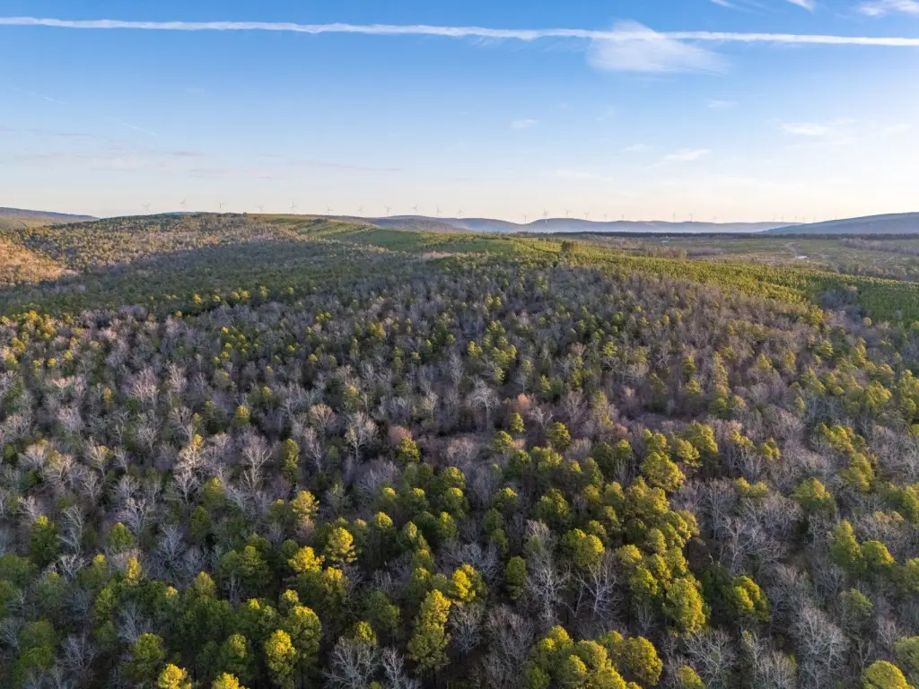
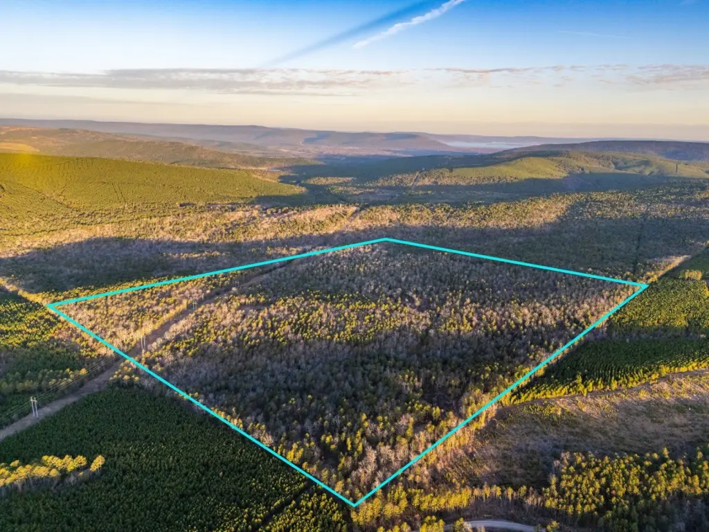
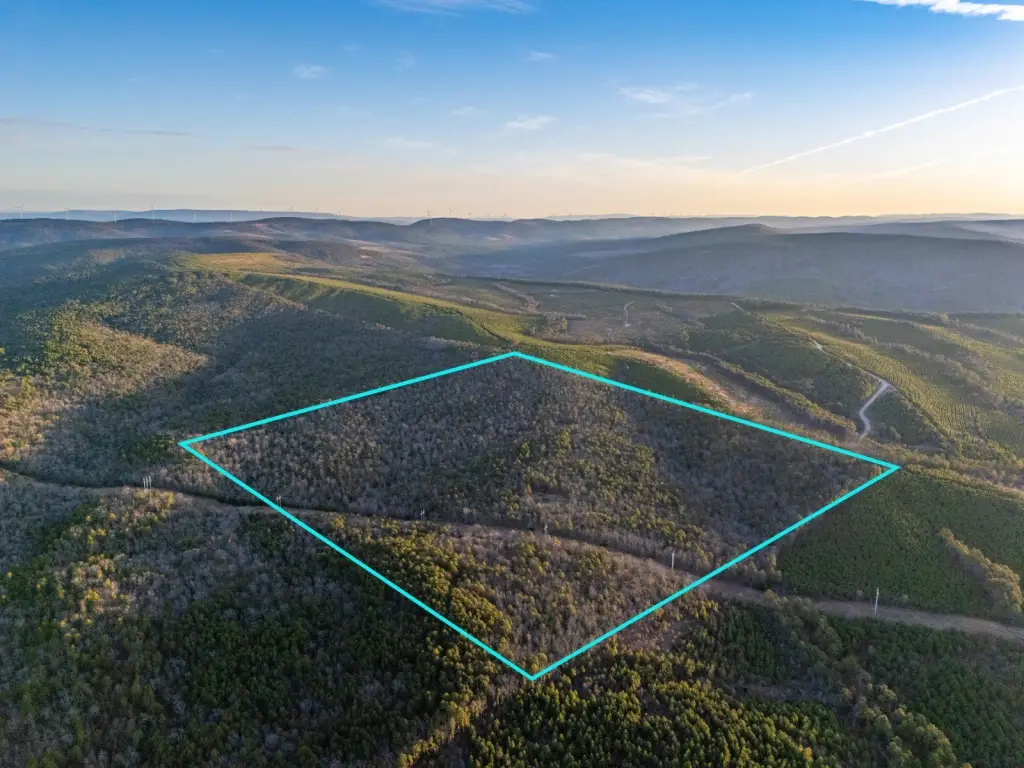
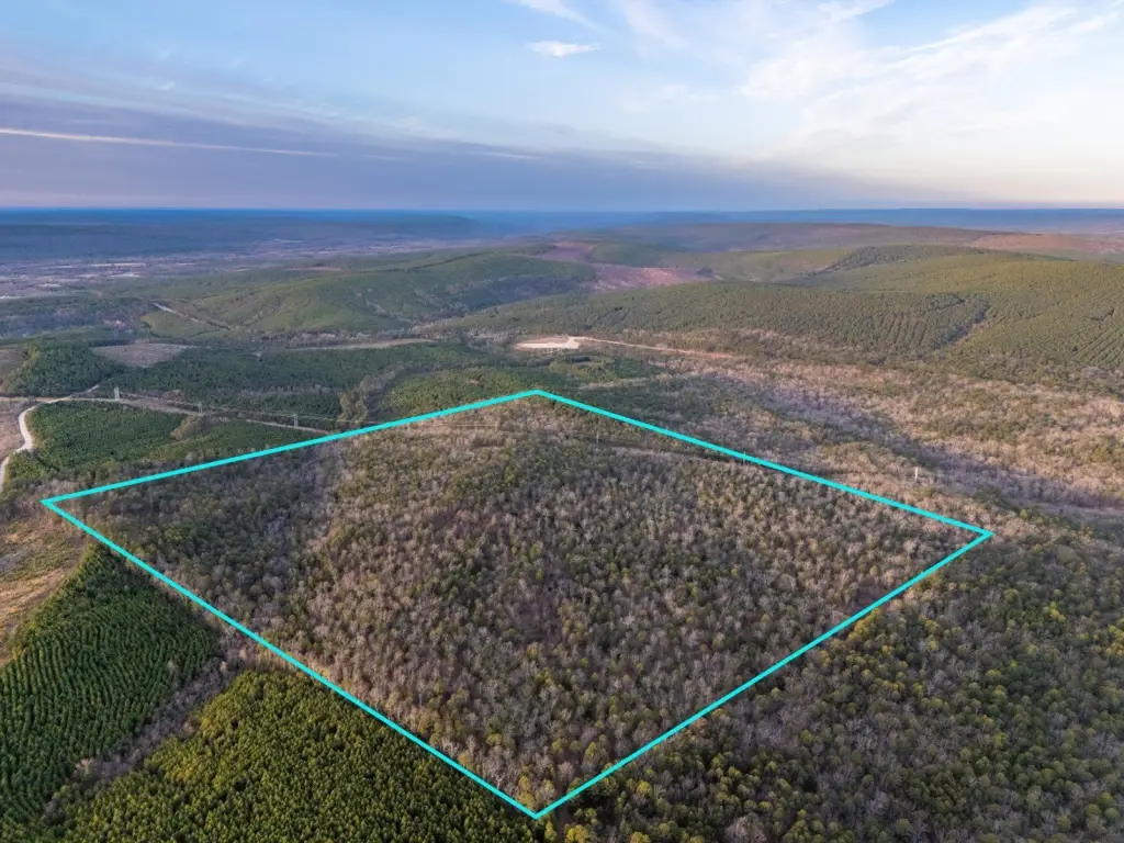
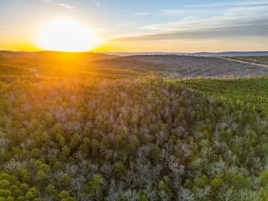
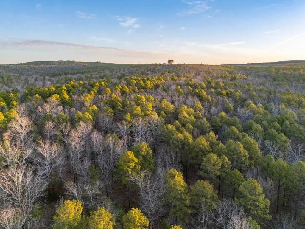
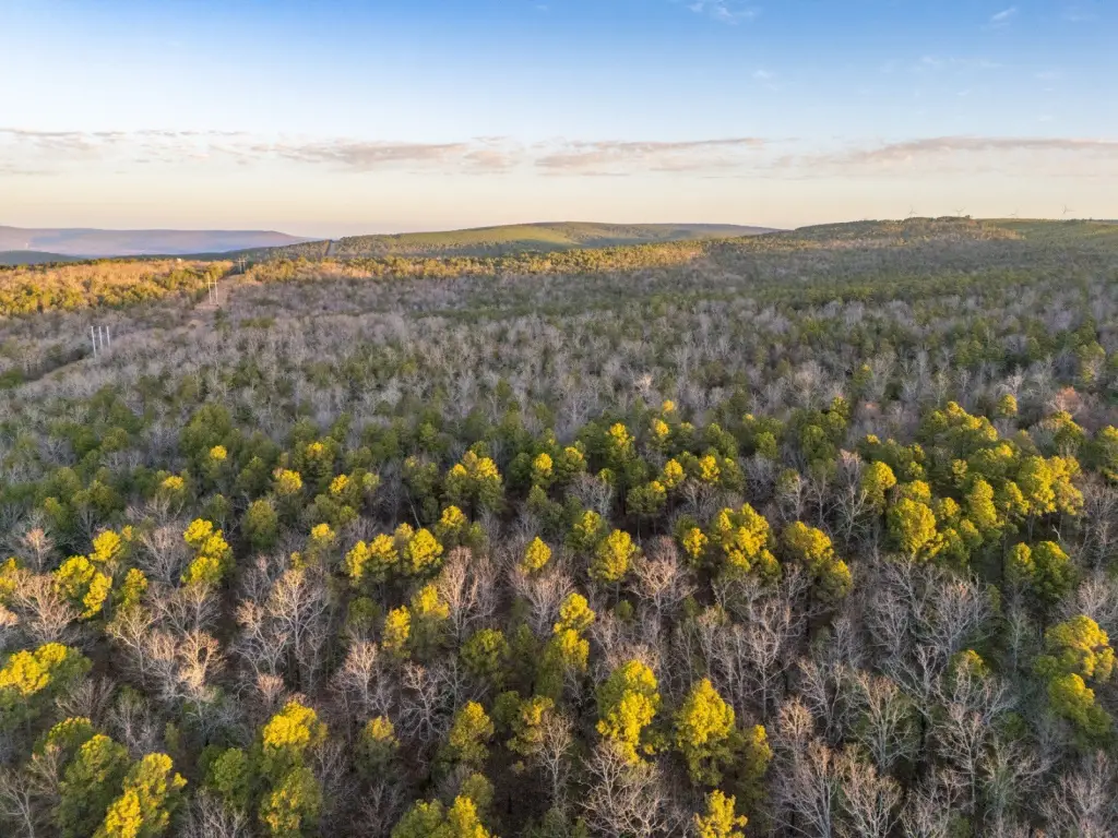
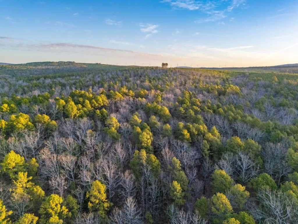
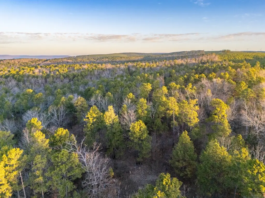
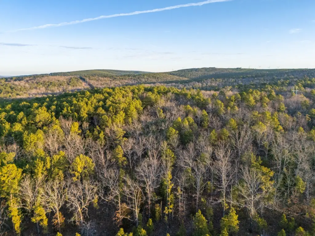
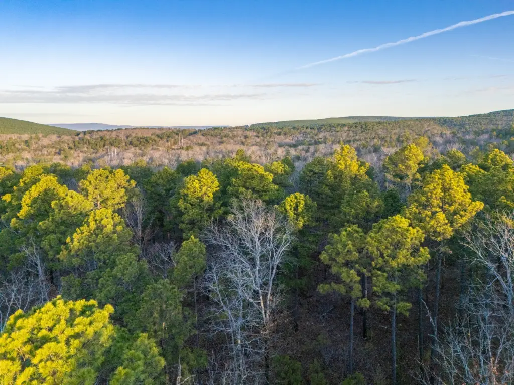
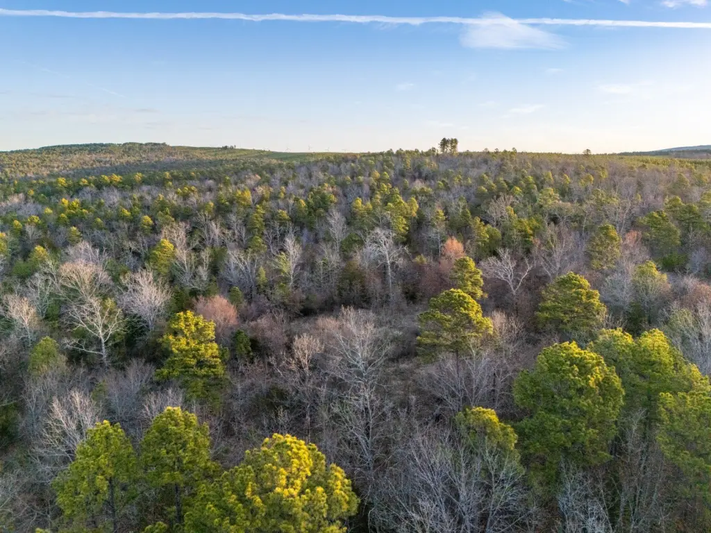
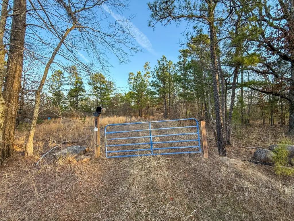
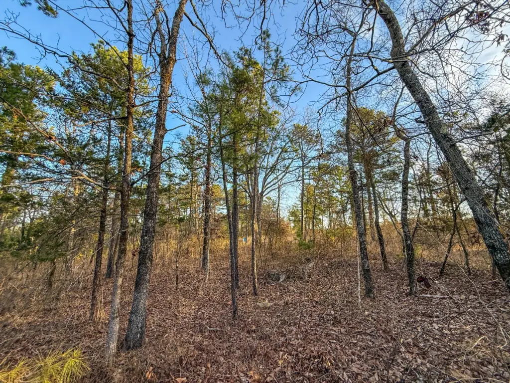
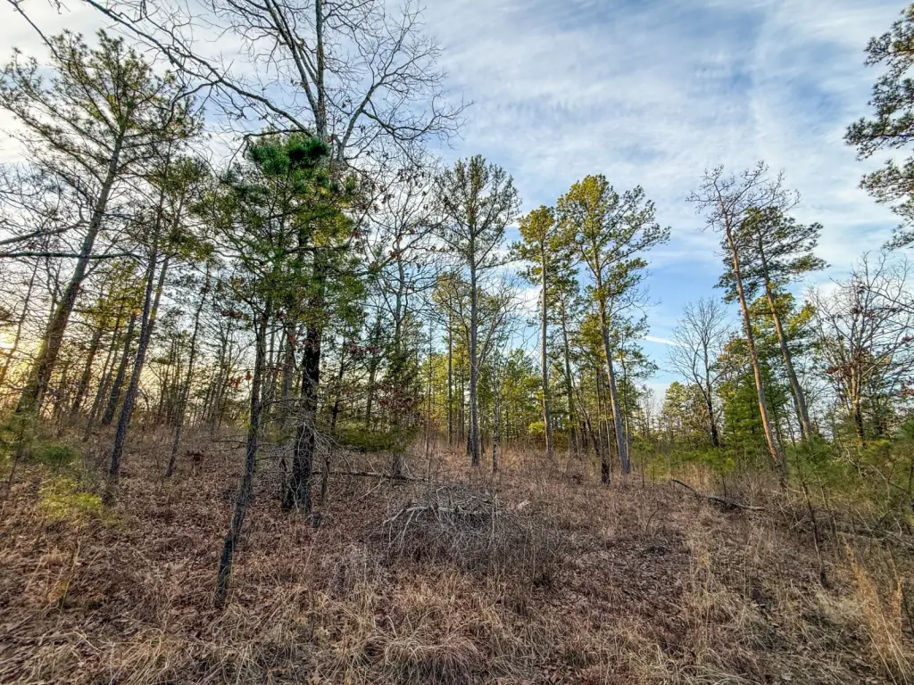
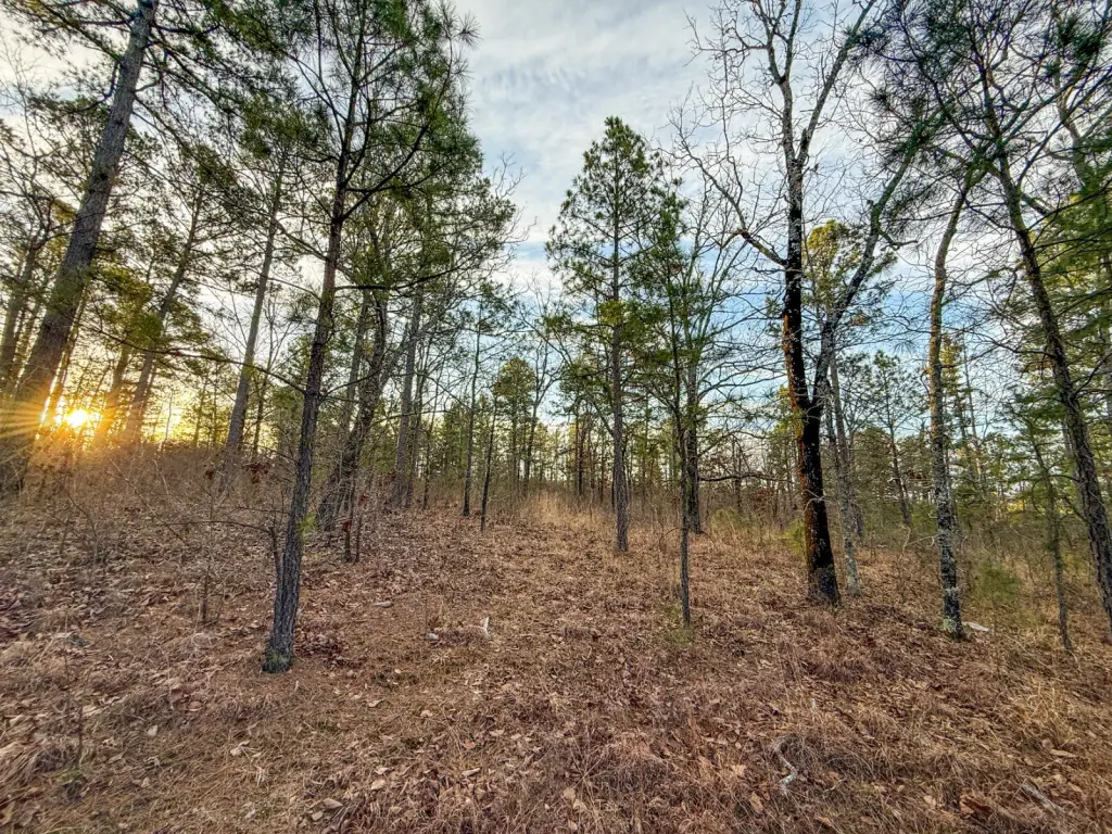
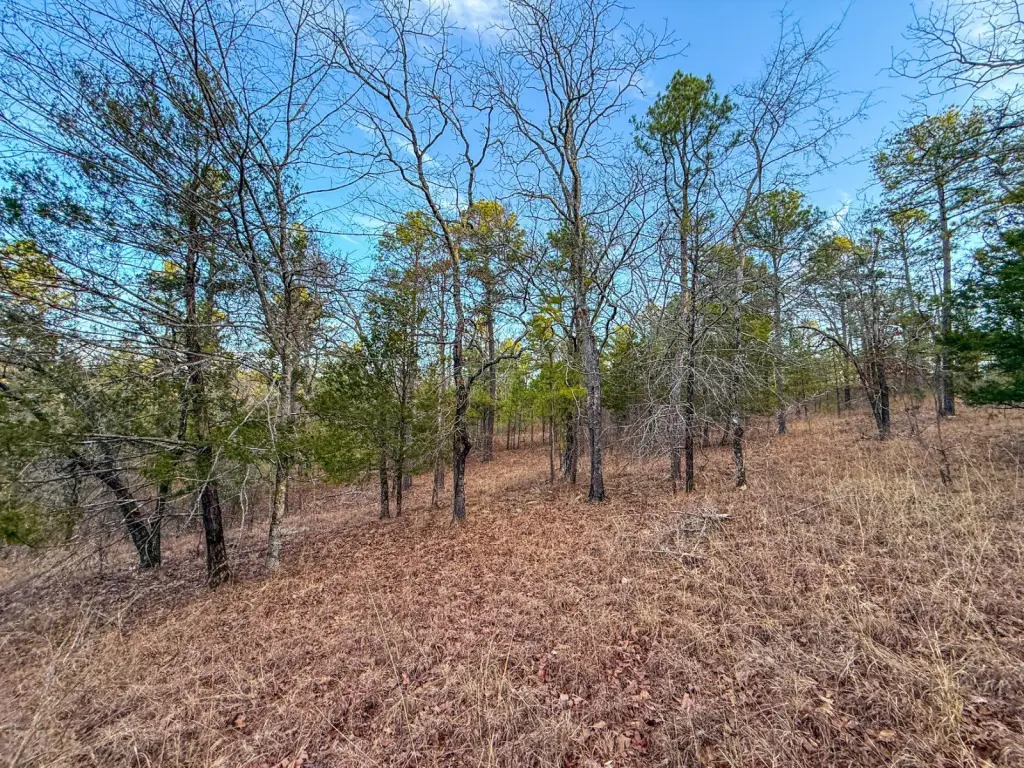
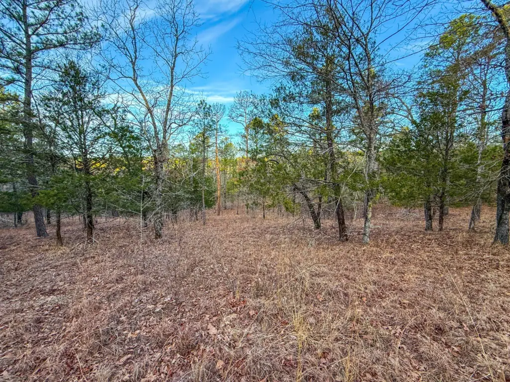
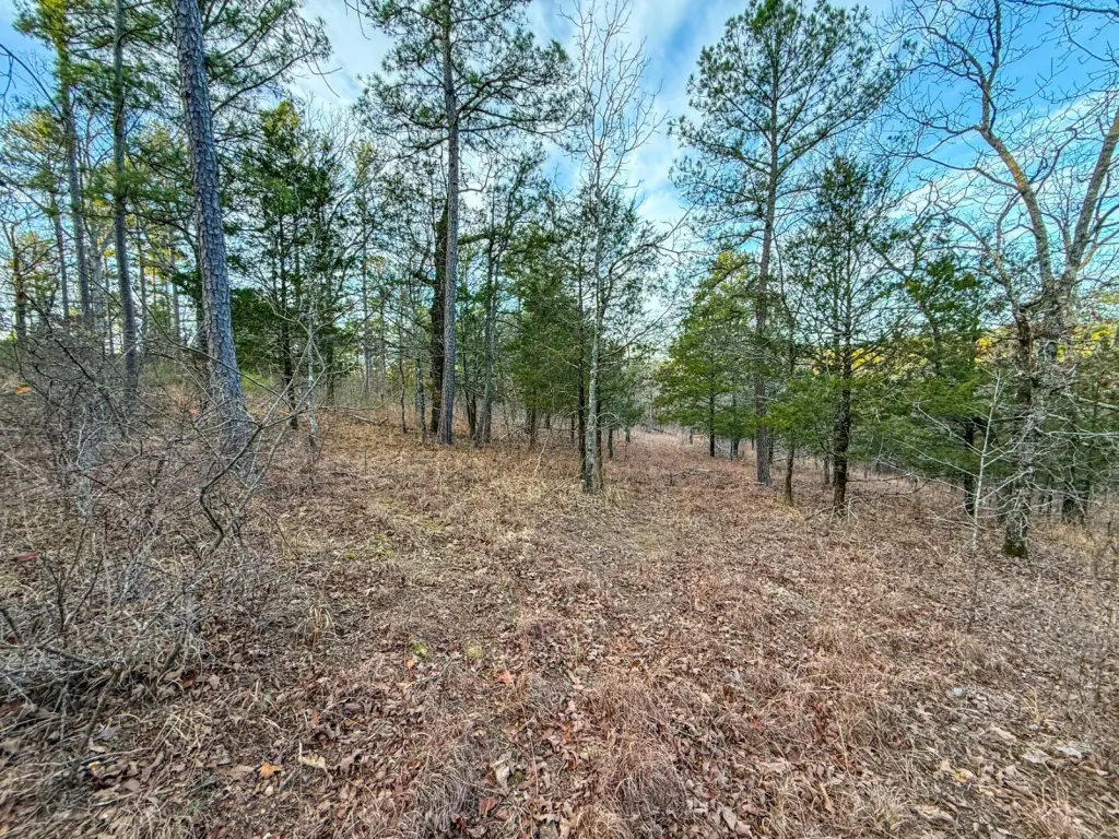
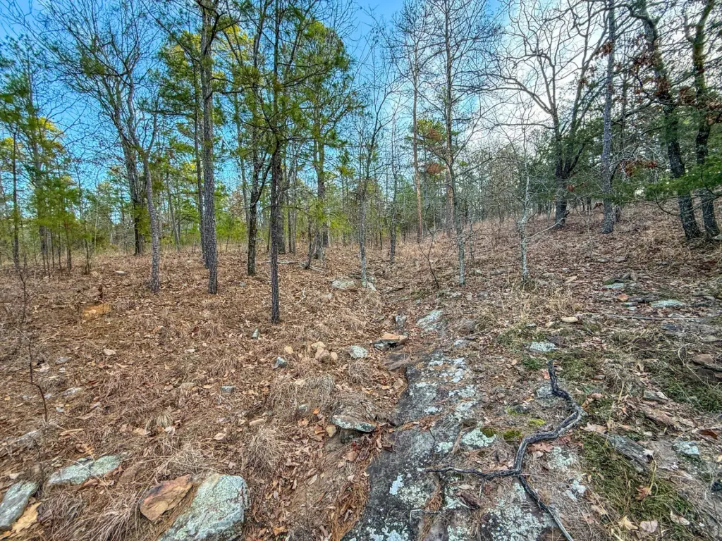
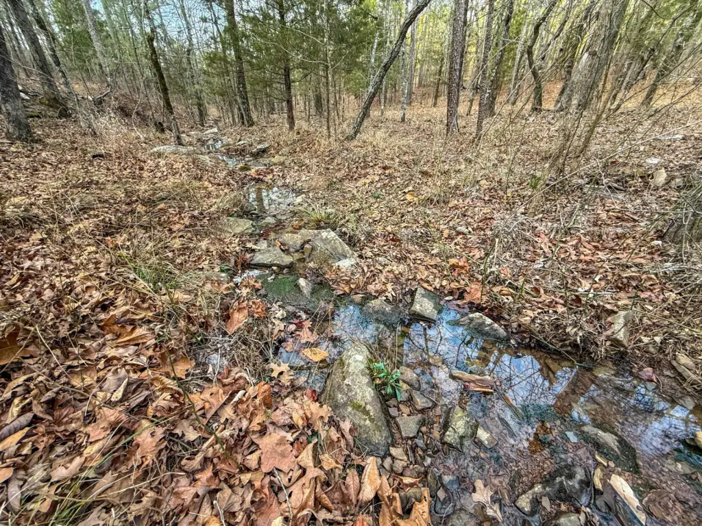
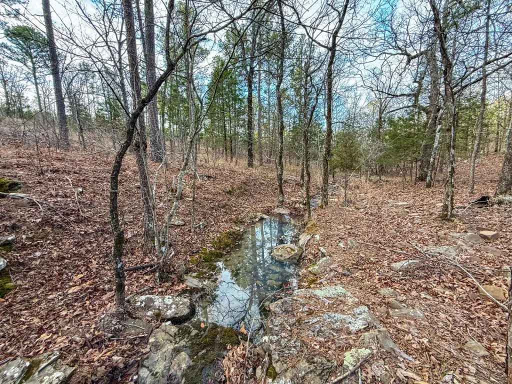
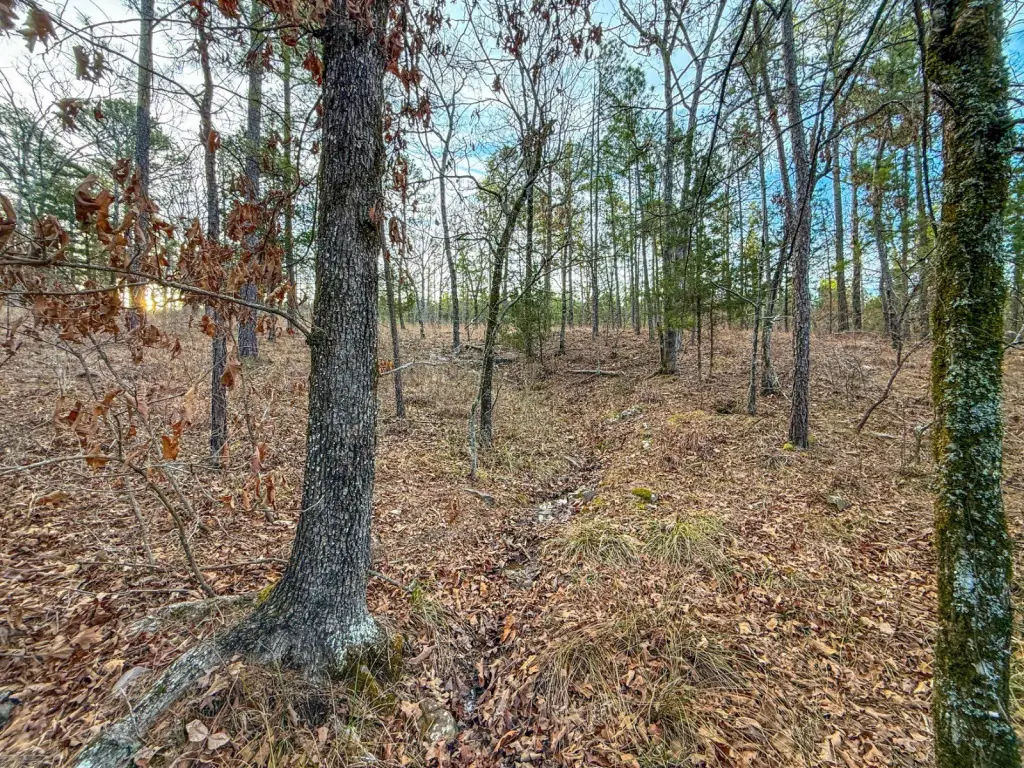
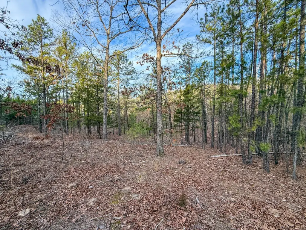
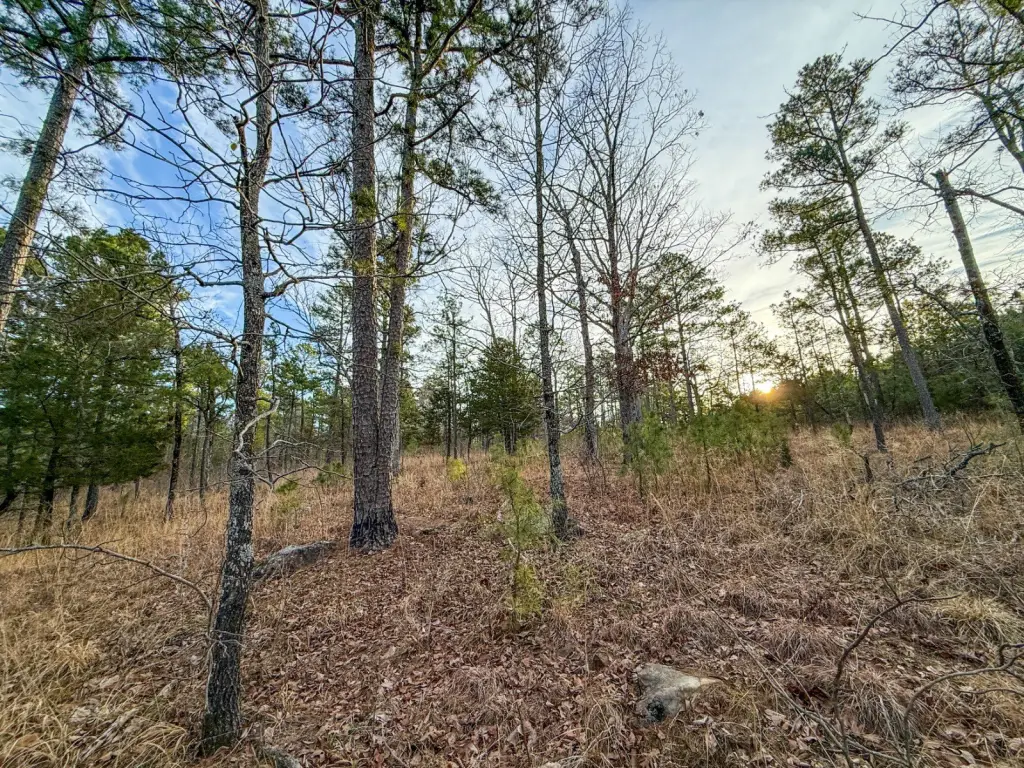
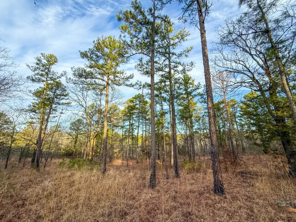
- 140+/- acre hunting property in Pushmataha County, Southeast Oklahoma.
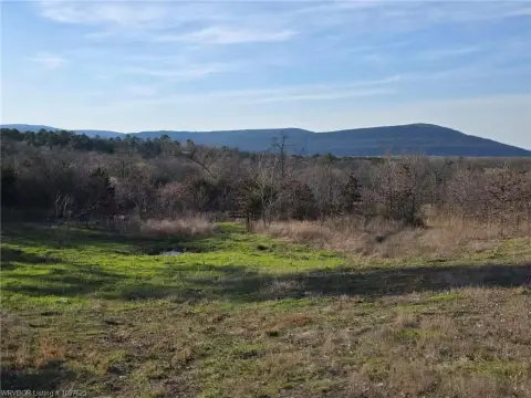
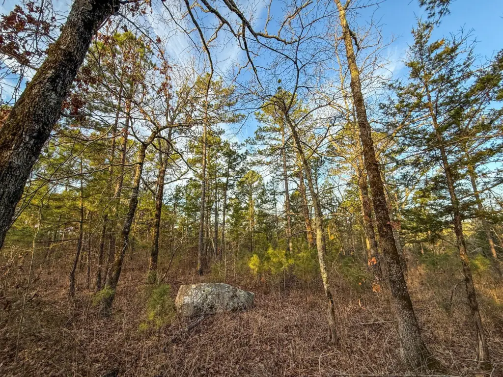
- Ideal topography with elevation changes, ridges, and draws for whitetail deer hunting.
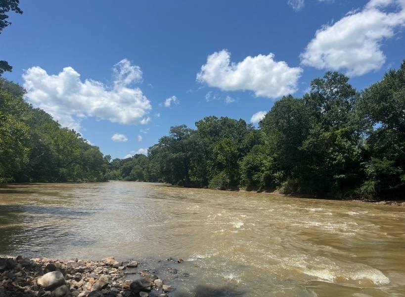
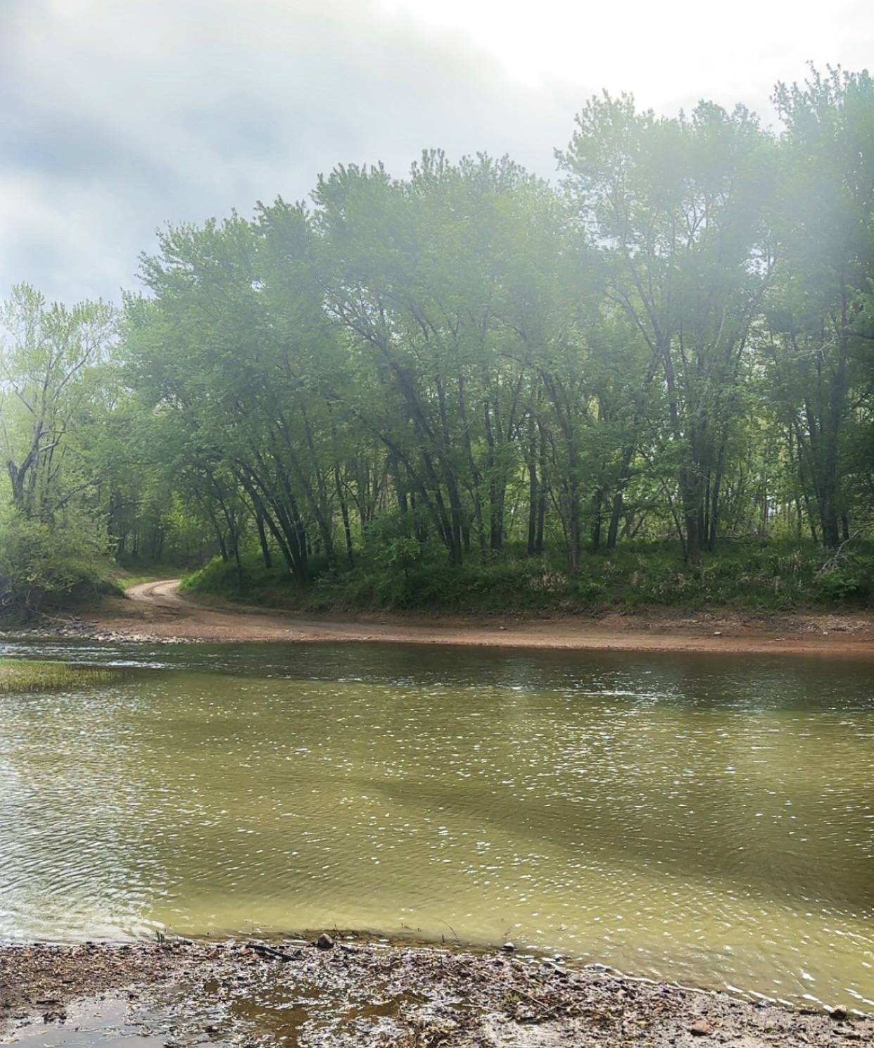
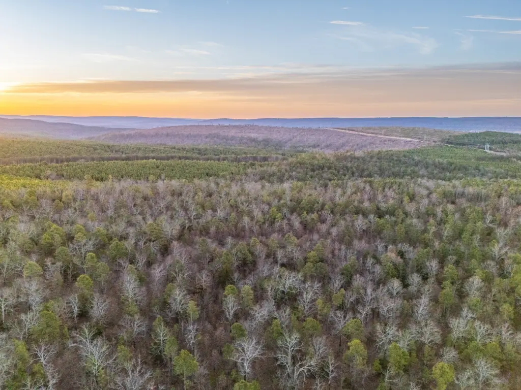
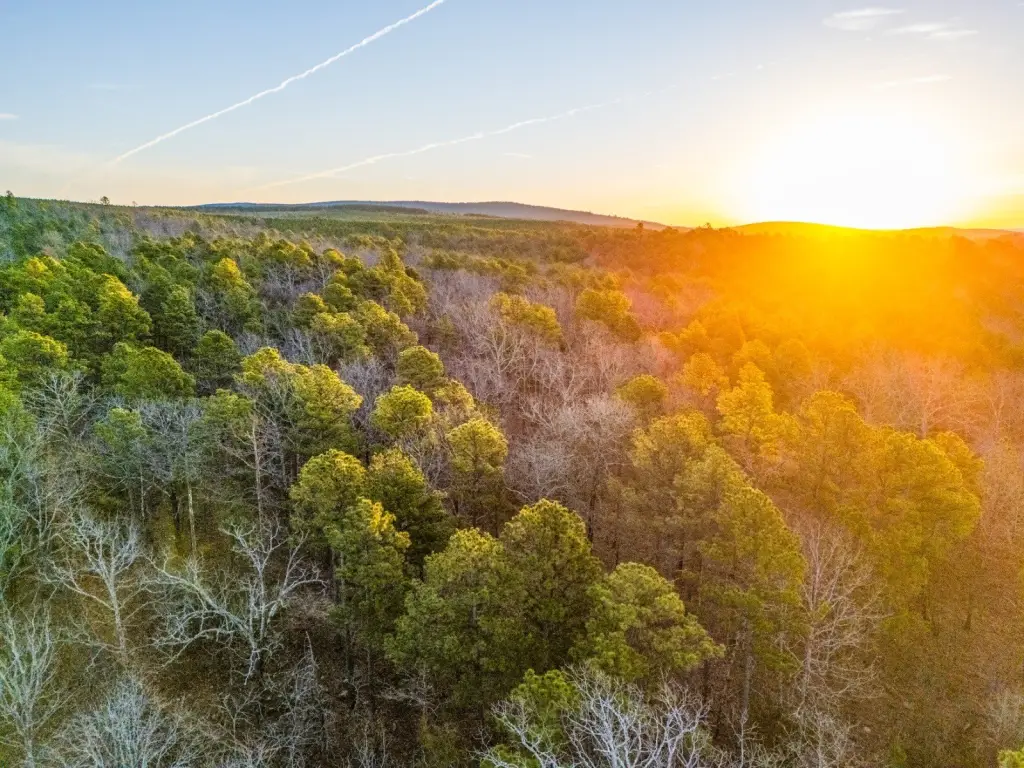
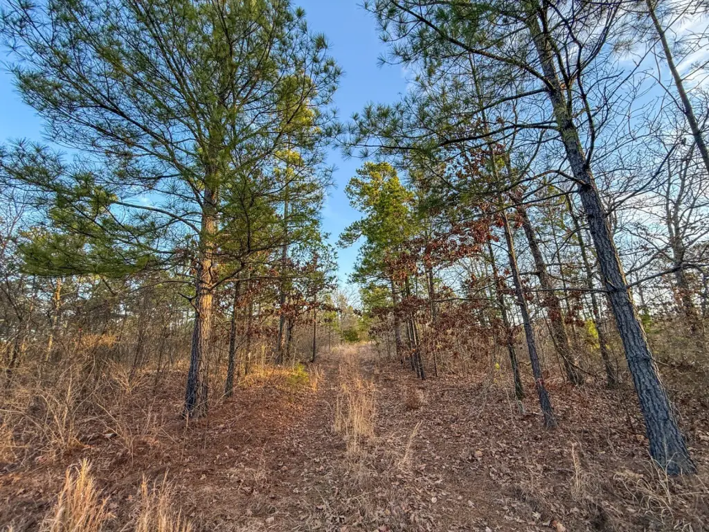
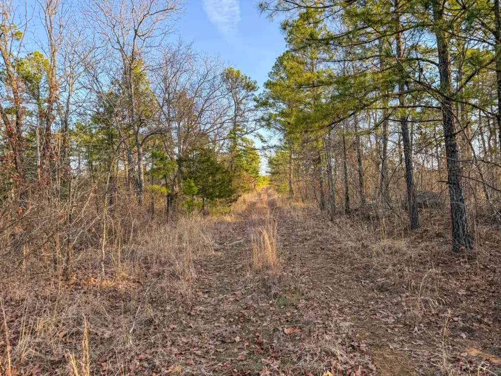
- Mix of mature pine and oak timber providing excellent wildlife habitat.
- Strong populations of whitetail deer and Eastern wild turkeys.
- Navigable trails for side‑by‑sides and ATVs.
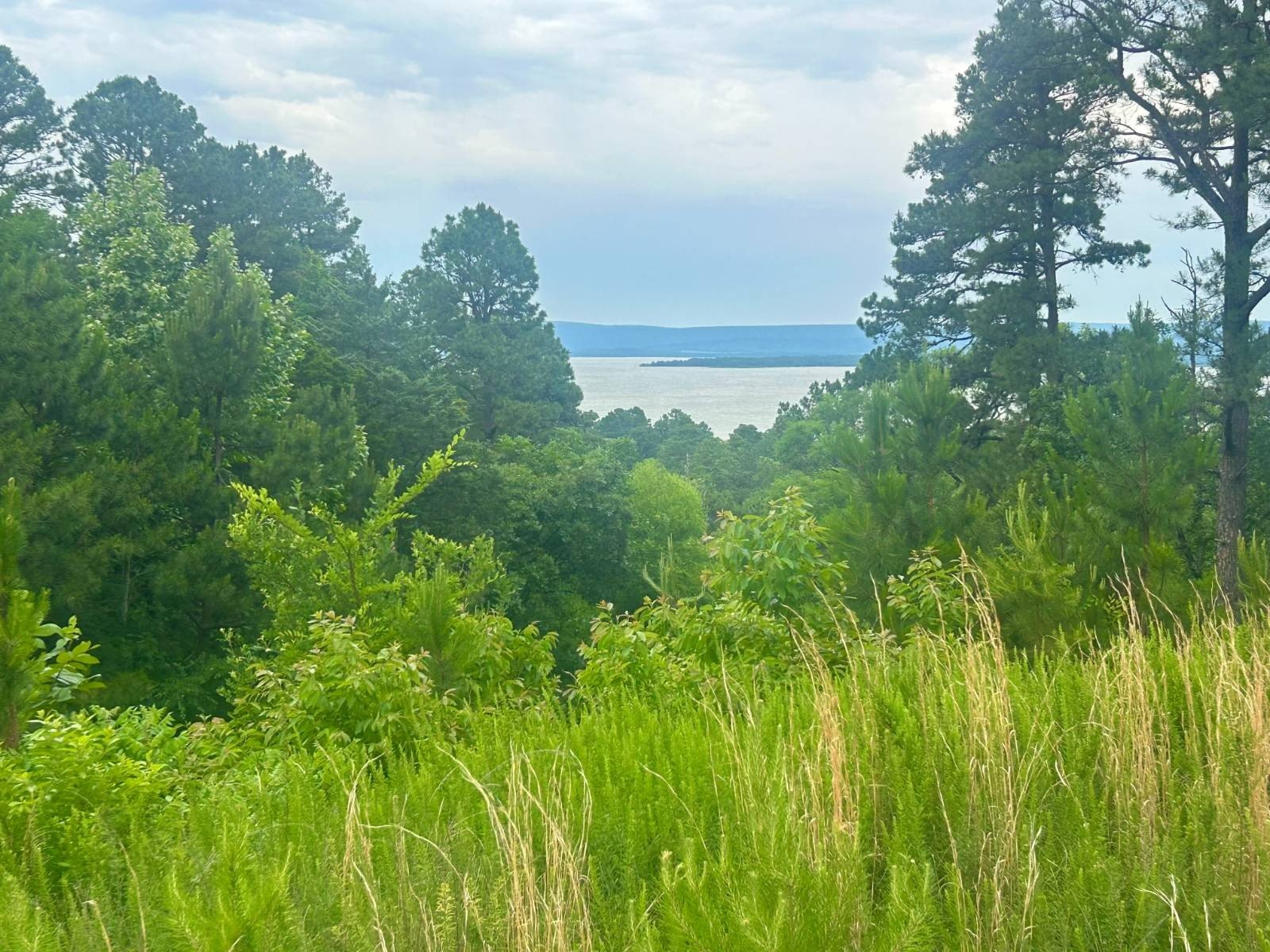
- Conveniently located 17+/- minutes from Clayton and Sardis Lake.
Overview
The property is located in Pushmataha County, near Clayton, Oklahoma. The remarks state it is about 17+/- minutes from Clayton and Sardis Lake, roughly 1 hour and 5+/- minutes from Atoka, about 2 hours and 35+/- minutes from Tulsa, and just over 3 hours from Dallas. Showings are by appointment only, and the boundary lines shown are approximate and intended for general reference; buyers are advised to obtain an independent survey to confirm exact boundaries.
For buyers seeking a dedicated outdoor tract, the combination of mixed timber, varied topography, and creek features supports year-round hunting opportunities, including whitetail deer and Eastern wild turkeys as described in the remarks. The ATV- and side-by-side-friendly trails can help manage access throughout the property for stand placement and seasonal use.
Current Use by Public Records
Map
- City
- Clayton
- County
- Pushmataha
- State
- Oklahoma
- Longitude
- -95.27355
- Latitude
- 34.5164