Montana Recreational Land with Dry
0 W Fork Combest Creek Road, Plains, MT 59859
- Added:
- Oct 10, 2025
- Days on Market:
- 237
- Last Refresh:
- Jun 3 at 7:06 am
Property Features for 0 W Fork Combest Creek Road
General Information
- Property type
- Land
- Property subtype
- Other
- Parking features
- Garage
- Standard status
- Active
- Lot size
- 312.96 Acres
Taxes and HOA fees
- Tax Year
- 2024
- Tax Annual Amount
- 822
Building Details
- Architectural style
- Other

Listing agent Trampus Corder (406) 622-3224
Listing office Corder and Associates, LLC 1312 Front Street, Fort Benton, MT (406) 622-3224
Listing date Oct 10, 2025
MLS# 11588721
Listing URL
Copyright © 2026 My State MLS. All rights reserved. All information provided by the listing agent/broker is deemed reliable but is not guaranteed and should be independently verified.
HighLights
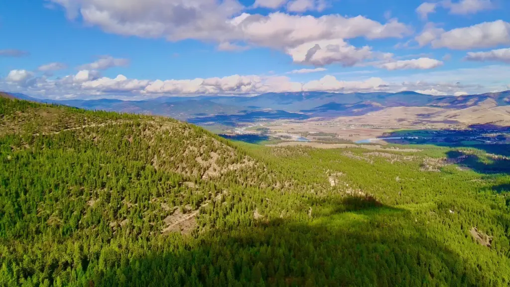
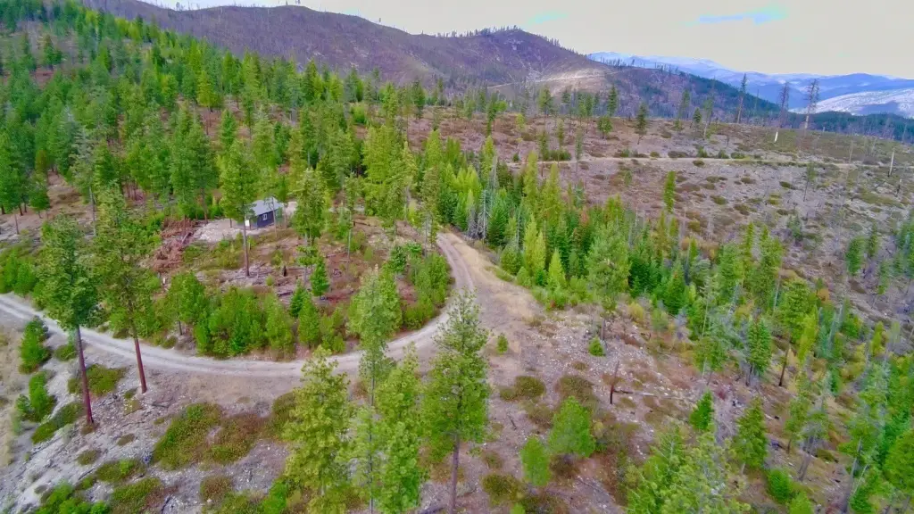
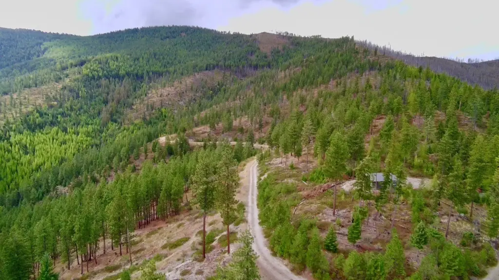
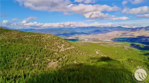
- 312.96 acres bordering millions of acres of Lolo National Forest, providing unparalleled privacy and recreational opportunities.
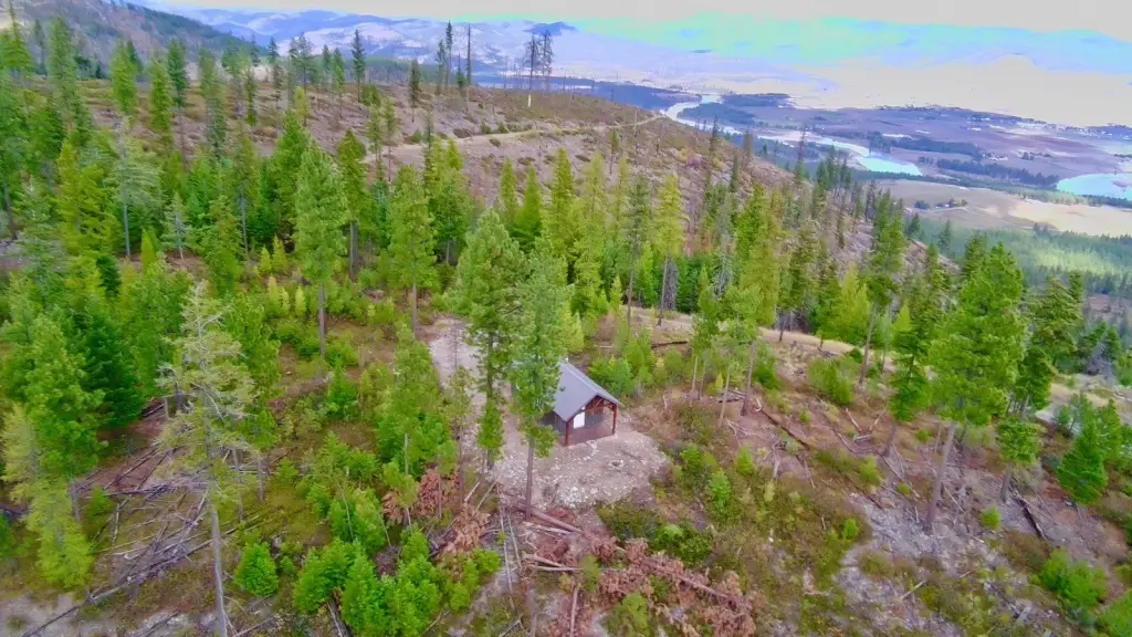
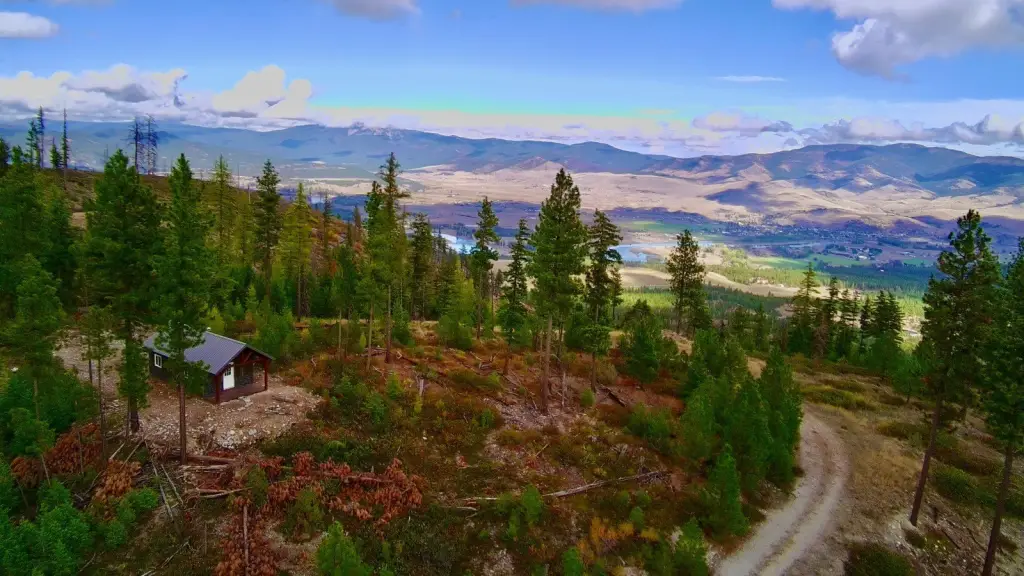
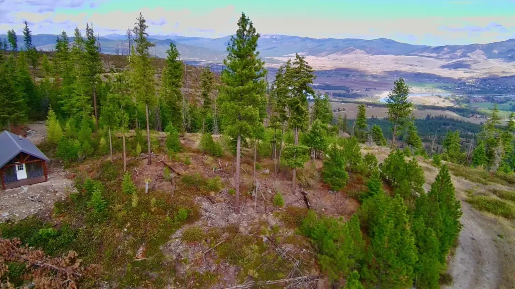
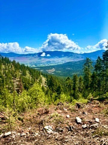
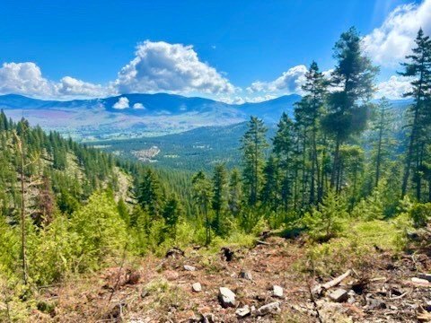
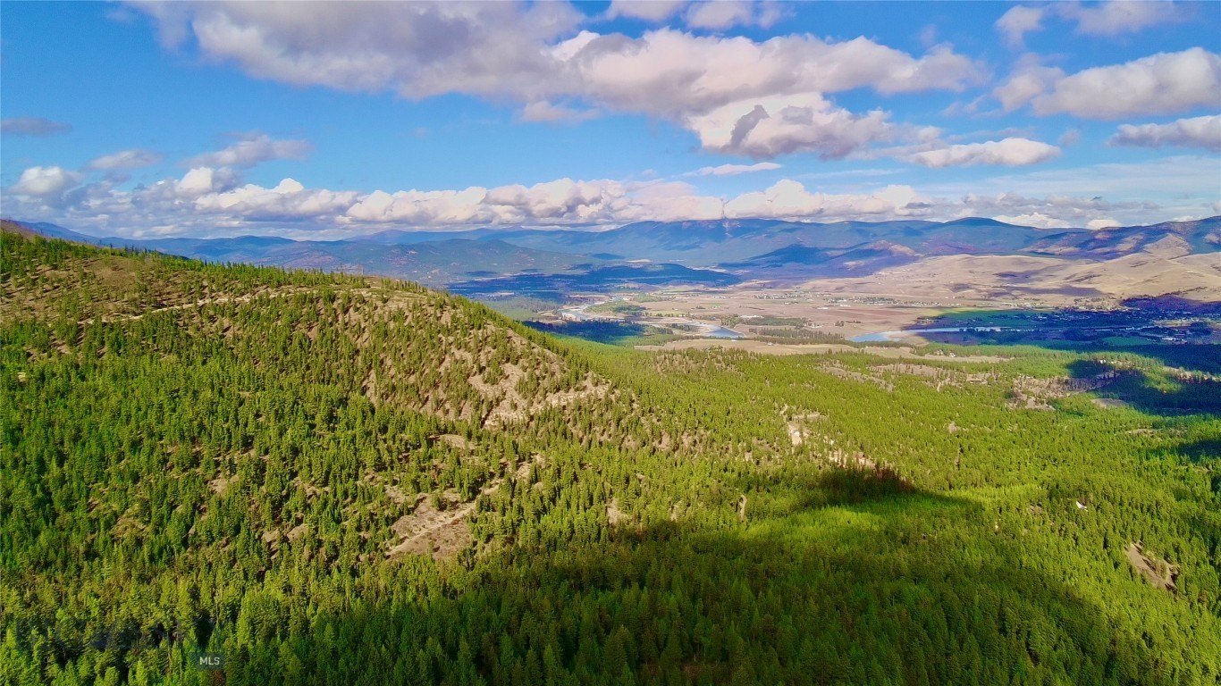
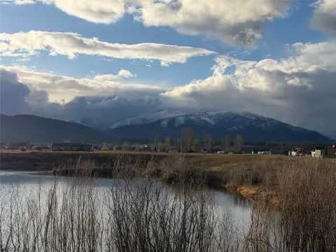
- Enjoy panoramic views of the breathtaking Paradise Valley.
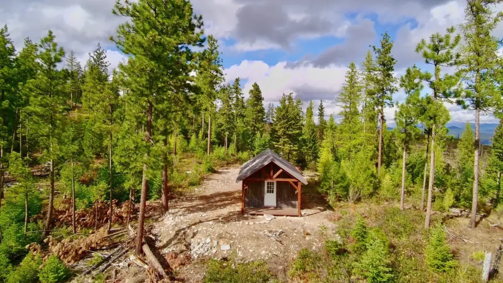
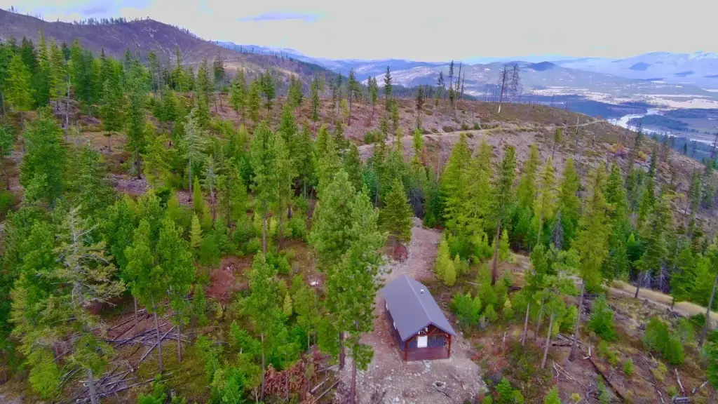
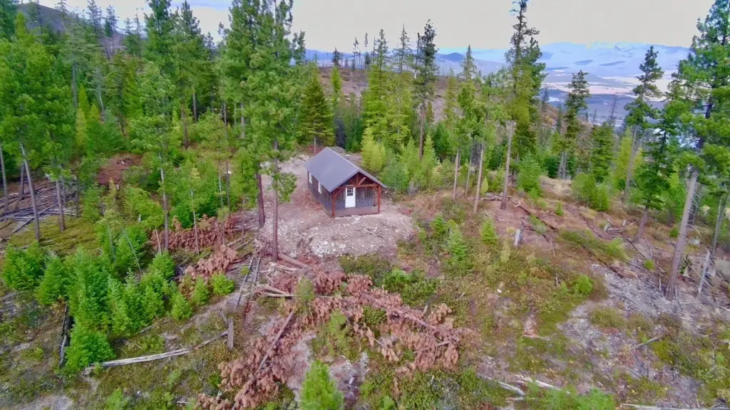
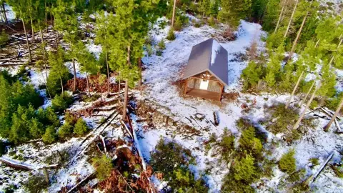
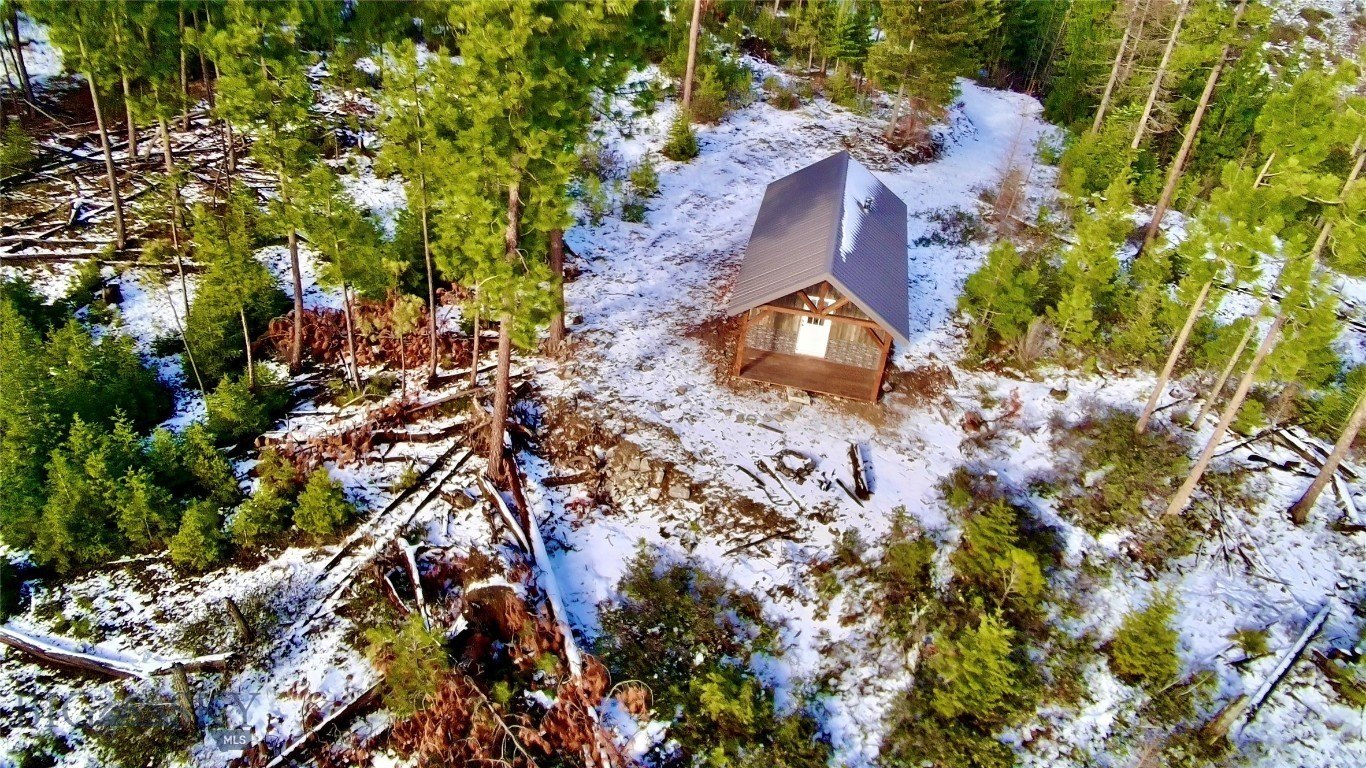
- Fully finished dry cabin on the property, ready for immediate use.
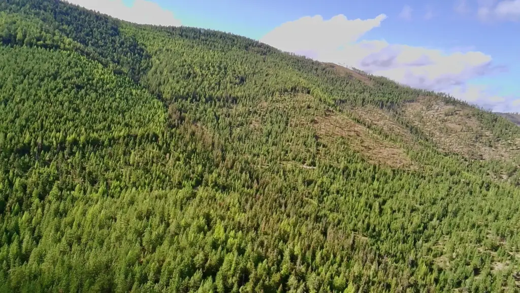
- Abundant wildlife and diverse terrain suitable for hunting, hiking, horseback riding, and ATV adventures.
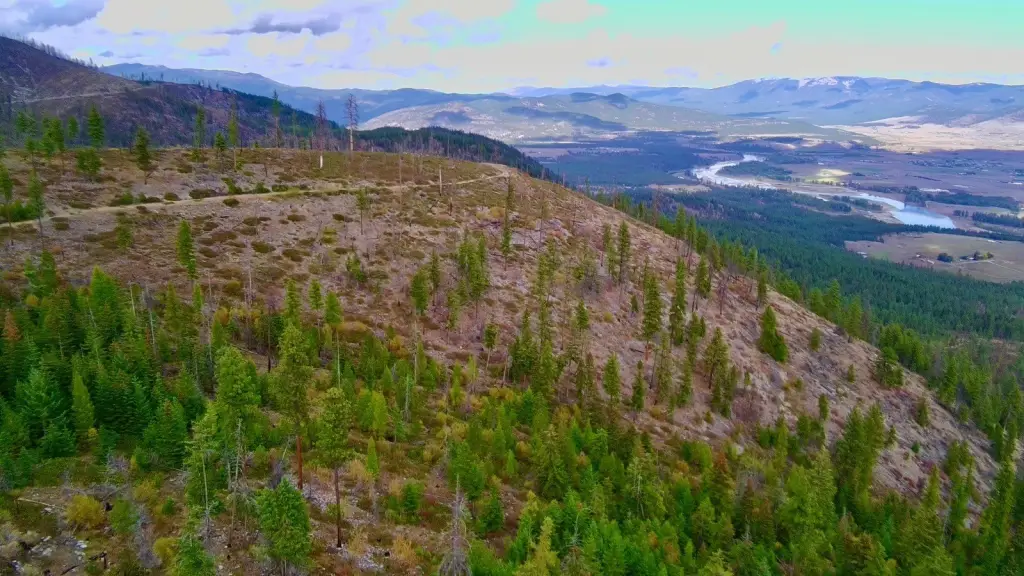
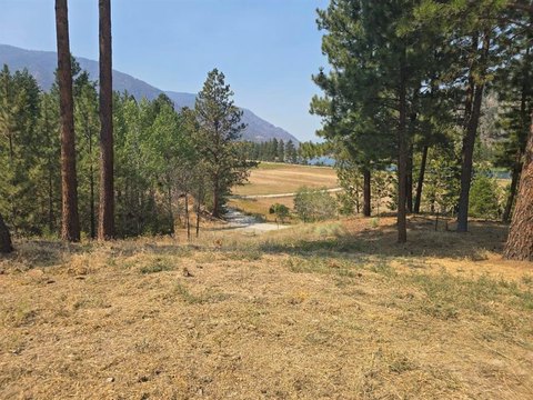
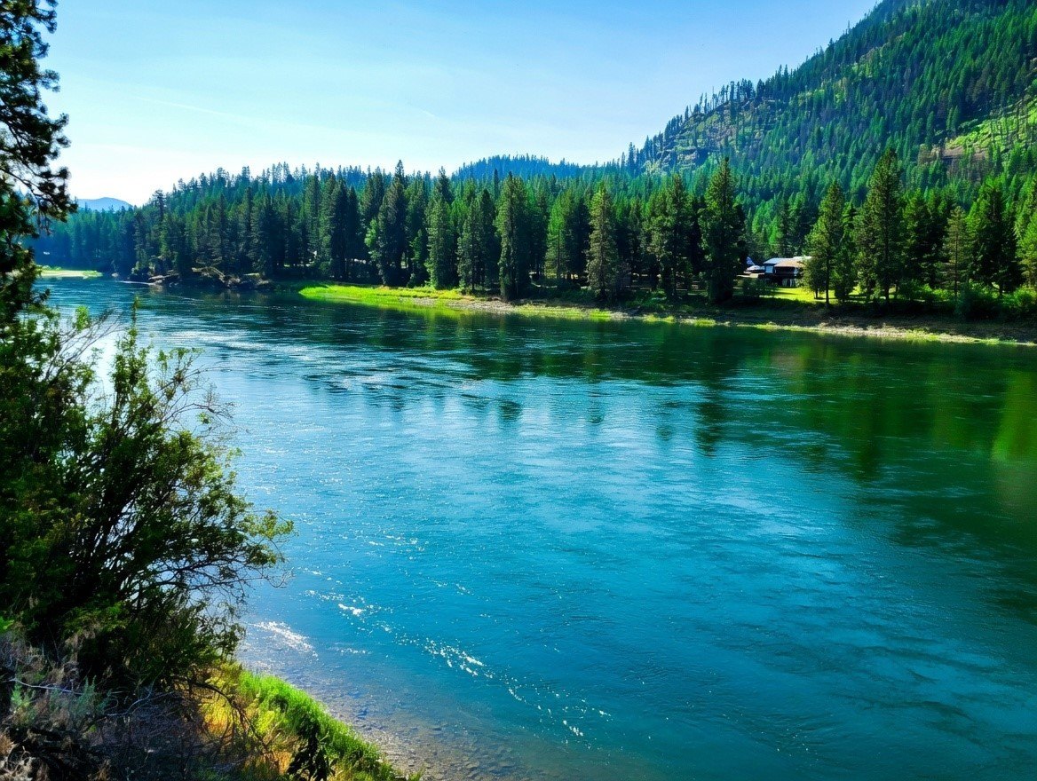
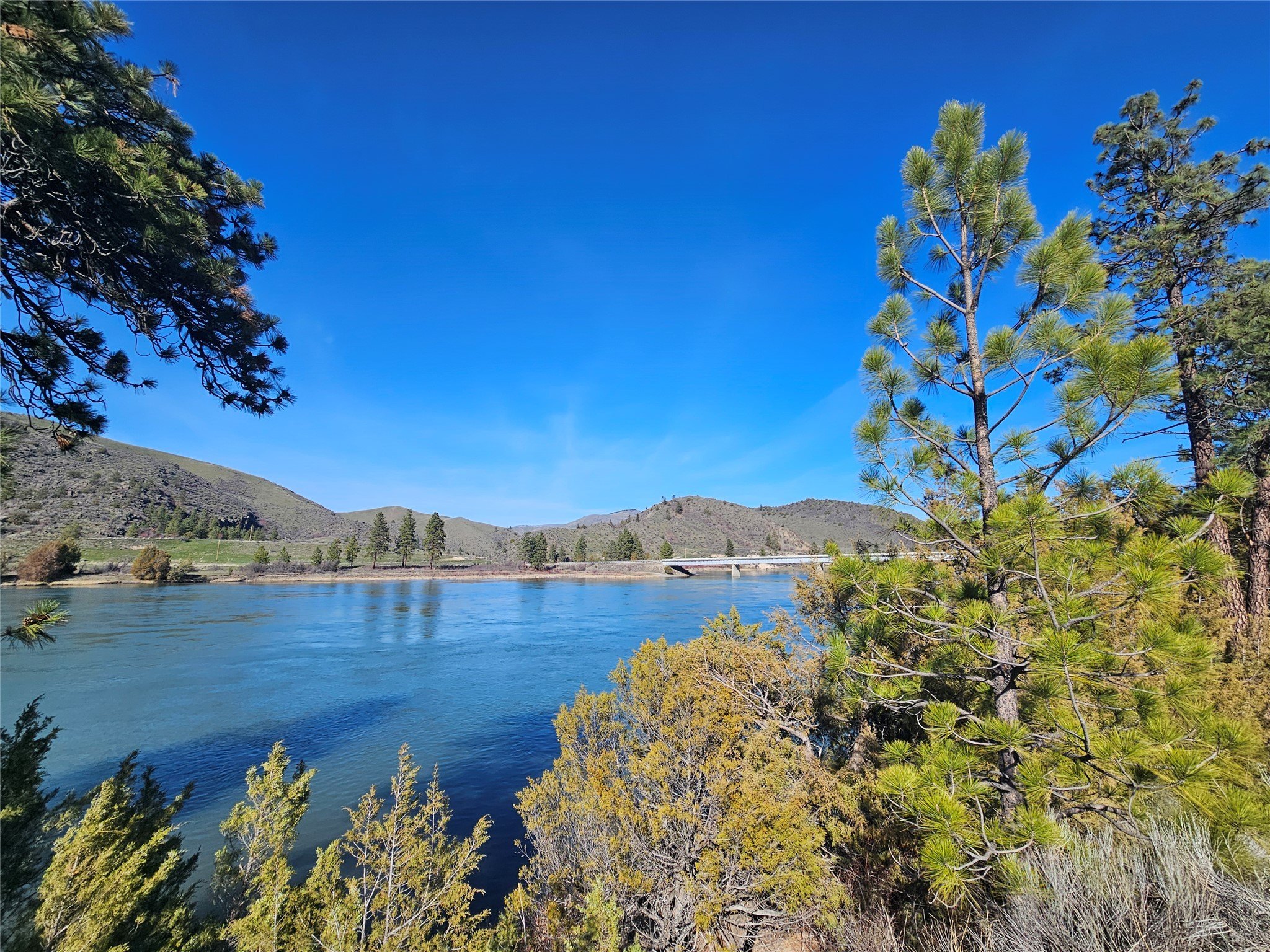
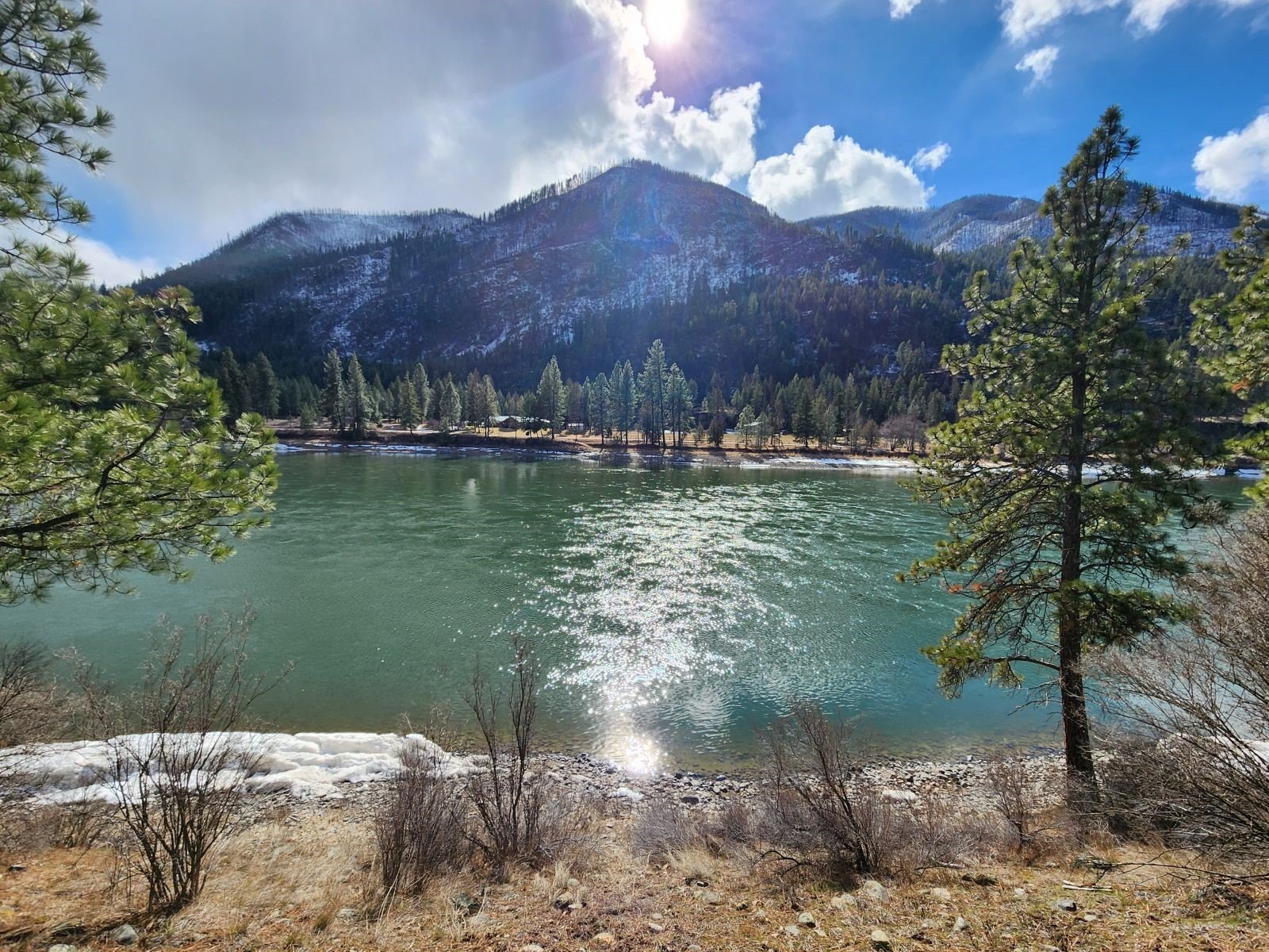
- Proximity to the Clark Fork River, renowned for fly fishing and other water activities.
- Close to the town of Plains for essential amenities and a short drive to attractions like Quinn's Hot Springs Resort and Flathead Lake.
Overview
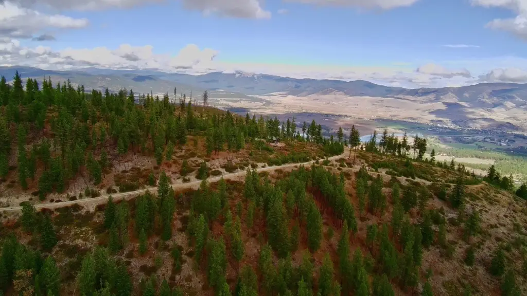
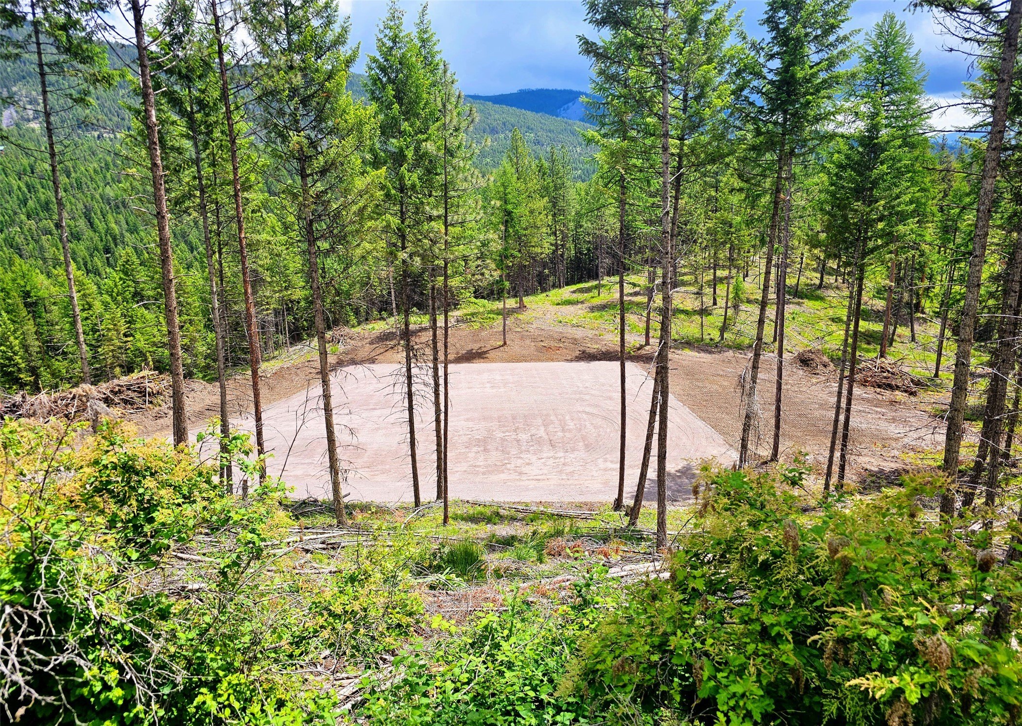
Set on 312.96 acres in Paradise Valley, this Montana recreational land offering emphasizes privacy, wide-open views, and rugged outdoor access. The property features a fully finished dry cabin, providing an immediate base for off-grid comfort. With the simple addition of a generator, the cabin can support modern convenience while maintaining the rustic character of the retreat. Rolling terrain and abundant wildlife invite adventure on foot, horseback, or ATV, with outdoor activities centered on exploration and hunting.
The land borders millions of acres of Lolo National Forest, making it well-suited for buyers seeking direct connection to expansive public lands and recreation. The Clark Fork River winds through the area, adding appeal for anglers and boaters, while the town of Plains is described as being a short drive below for essential amenities.
This property is a strong fit for investors or owner-users looking for a long-term Montana land play with immediate improvement value through the finished cabin. It also aligns with hunters and recreation-focused operators who want a private basecamp with National Forest adjacency and a landscape built for year-round use.
Location Intelligence
Current Use by Public Records
Hunting land
Map
- City
- Plains
- County
- Sanders
- State
- Montana
- Longitude
- -114.9251458
- Latitude
- 47.443275
Nearby Similar for Sale

FAQs
What type of property is this?
Hunting land - A private 312-acre mountain tract with a finished dry cabin, backed by National Forest and positioned for hunting and outdoor recreation.
Where is this hunting land located?
The property is located at 0 W Fork Combest Creek Road Plains, MT.
What is the asking price?
The asking price for this property is $1,500,000.
What are key features of this property?
This property features: 312.96 acres bordering millions of acres of Lolo National Forest, providing unparalleled privacy and recreational opportunities.; Enjoy panoramic views of the breathtaking Paradise Valley.; Fully finished dry cabin on the property, ready for immediate use.


