0 Oakland Rd, Bethel, OH 45106
- Added:
- Jun 22, 2026
- Days on Market:
- 7
- Last Refresh:
- Jun 28 at 11:06 pm
Property Features for 0 Oakland Rd
General Information
- Property type
- Land
- Property subtype
- Other
- Parking features
- Garage
- Standard status
- Active
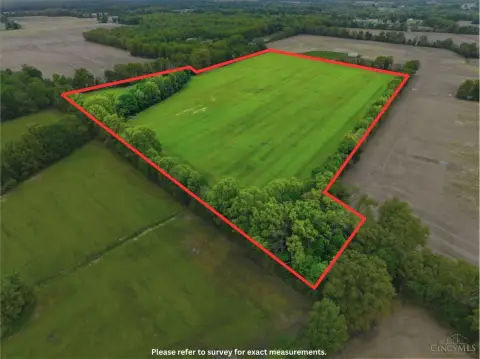
- Lot size
- 142.00 Acres
Taxes and HOA fees
- Tax Annual Amount
- 0
Building Details
- Architectural style
- Other
Listing agent Billy Maxfield
Listing office America's Land Partners - Ohio 726 S, High Street, Mount Orab, OH
Listing date Jun 22, 2026
Copyright © 2026 My State MLS. All rights reserved. All information provided by the listing agent/broker is deemed reliable but is not guaranteed and should be independently verified.
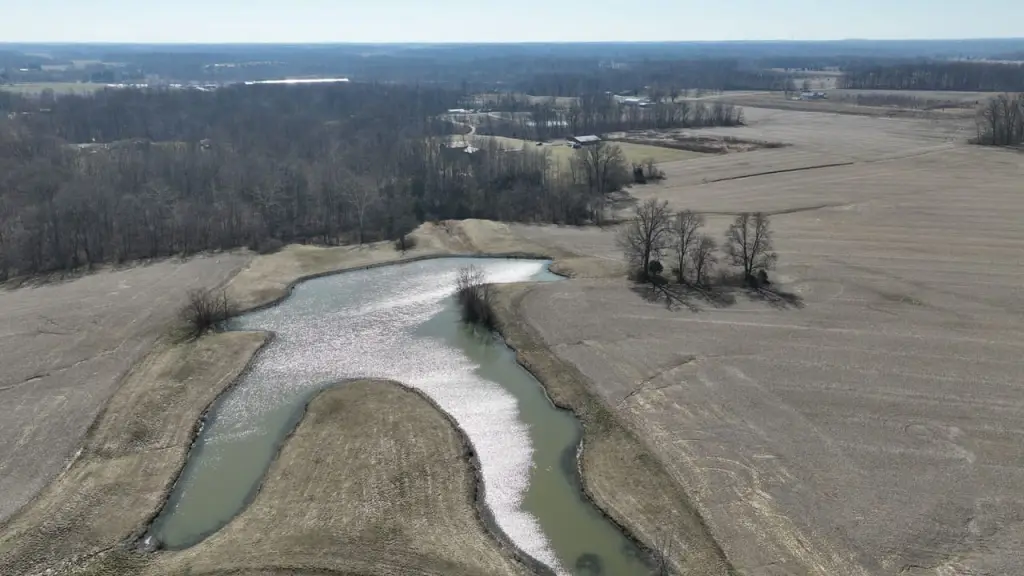
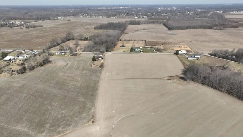
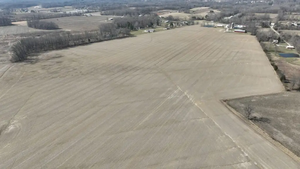
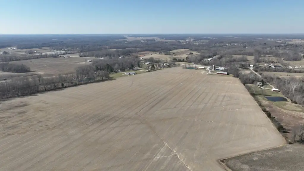
HighLights
- Approximately 142 acres of contiguous land adjacent to the Mt. Orab Megasite development corridor
- Convenient access to State Route 32 and regional interstate connections
- Utility infrastructure availability in the area, including water, sewer, electric, and fiber connectivity
- Land suitable for a range of uses including commercial, industrial, logistics, warehouse, energy, and mixed‑use development
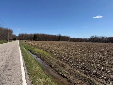
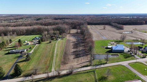
- Current agricultural and recreational value noted with long‑term land banking potential
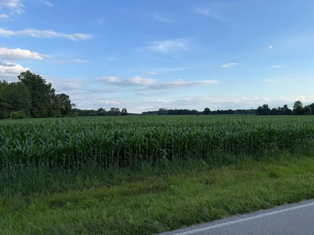
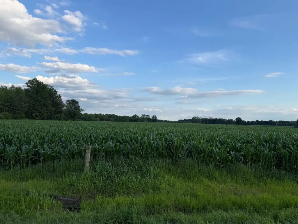
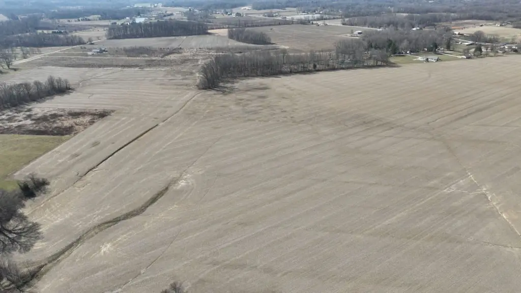
Overview
The tract is described as directly adjacent to the Mt. Orab Megasite development corridor. The Megasite is positioned along State Route 32 and is stated to provide access to major transportation networks and surrounding utility infrastructure. The remarks also note availability of water, sewer, electric, and fiber connectivity in the area, which can simplify early due diligence for commercial and industrial site design.
The site is presented as a candidate for industrial, logistics, warehouse, energy, commercial, or mixed-use development, as well as for agricultural operators seeking expansion acreage. Buyers and developers may also value the location near an established development corridor while maintaining the option to preserve current land use until a project timeline is defined.
Current Use by Public Records
Map
- City
- Bethel
- County
- Clermont
- State
- Ohio
- Longitude
- -83.914554
- Latitude
- 38.994488