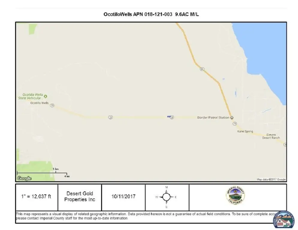
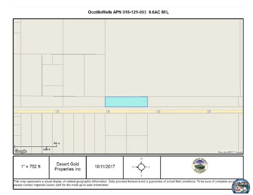
0 9.6 ac Highway 78, Borrego Springs, CA 92004
- Added:
- Jun 8, 2026
- Days on Market:
- 3
- Last Refresh:
- Jun 10 at 6:06 am
Property Features for 0 9.6 ac Highway 78
General Information
- Property type
- Land
- Property subtype
- Other
- Zoning
- S2-Open Space Preservatio
- Standard status
- Active
- APN
- 018-121-003-000
- Lot size
- 9.60 Acres

Listing agent Michelle Gold License #01042978 (760) 285-6271
Listing office Desert Gold Properties Inc. 32742 Lamtarra Loop, Menifee, CA (760) 285-6271
Listing date Jun 8, 2026
Copyright © 2026 Imperial County Association of Realtors®. All rights reserved. All information provided by the listing agent/broker is deemed reliable but is not guaranteed and should be independently verified.
HighLights
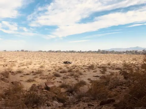
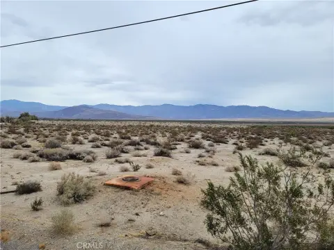
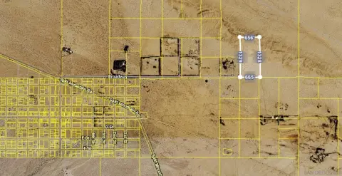
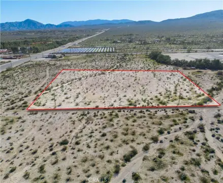
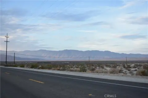
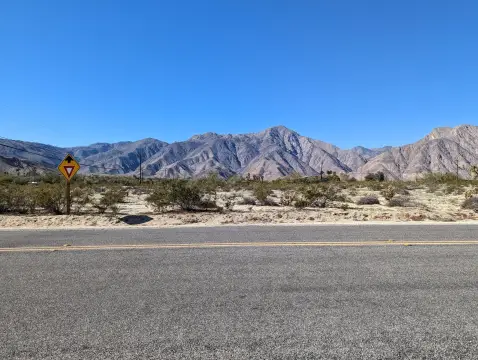
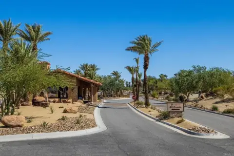
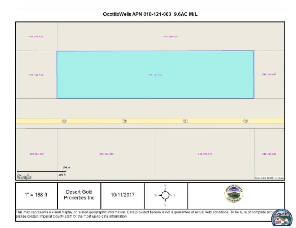
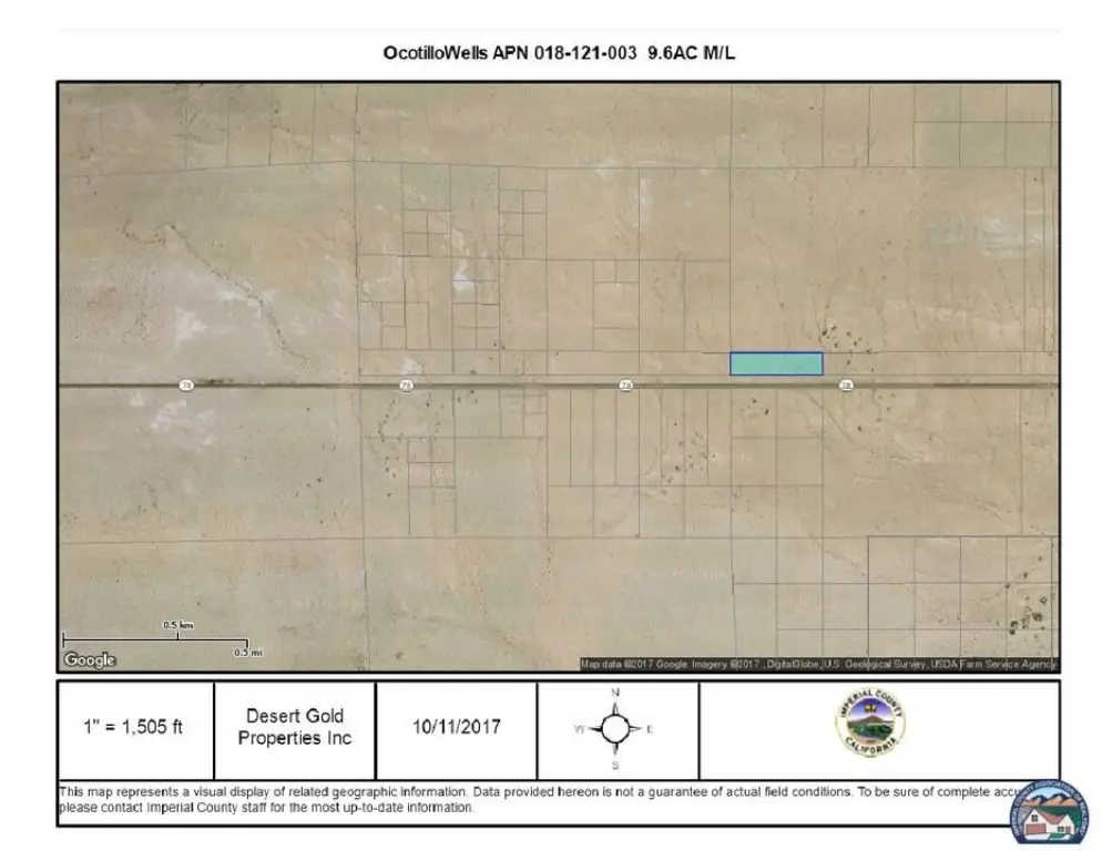
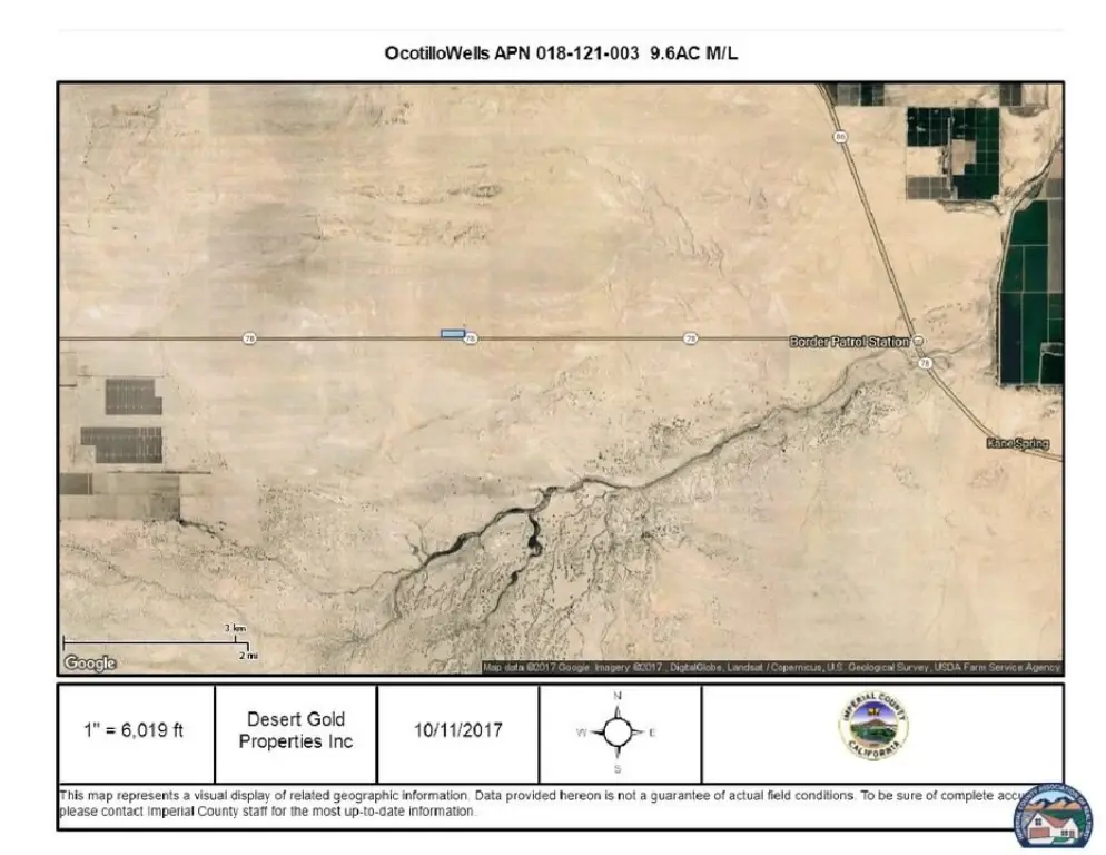
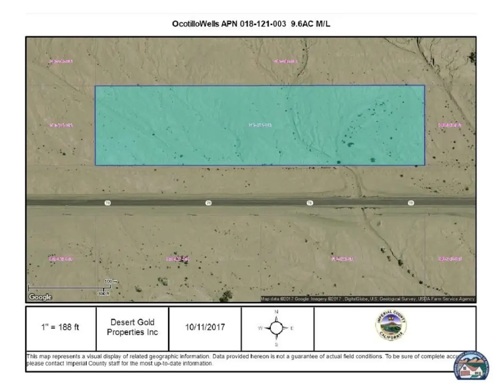
- 9.6 acres M/L in Ocotillo Wells, Calif., just off the frontage road of Highway 78
- Zoned S2–Open Space Preservation
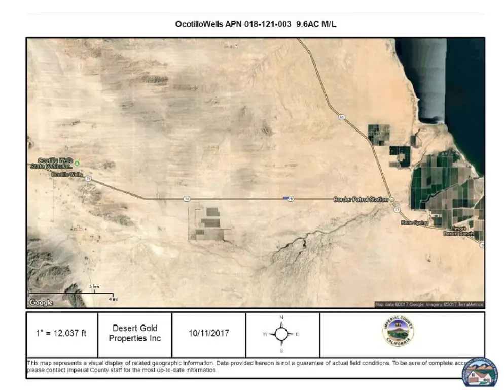
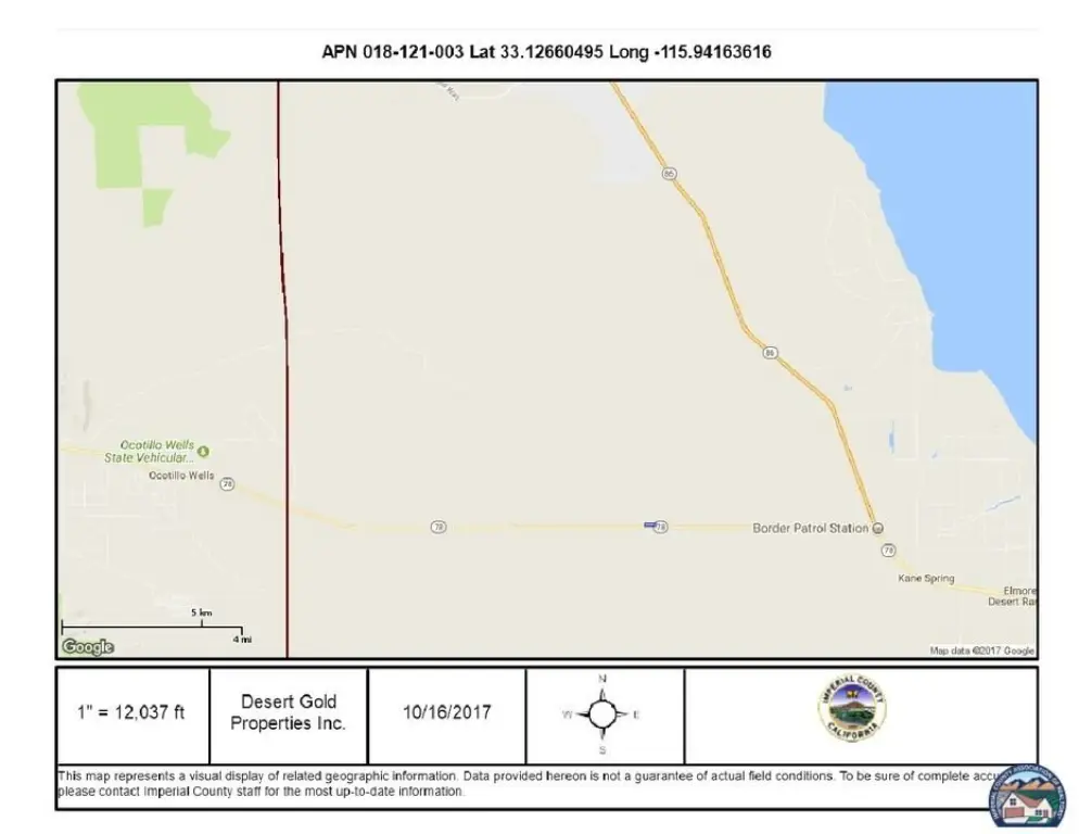
- Located on the north side of Highway 78, east of Pole Line Rd and west of Hwy 86
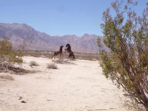
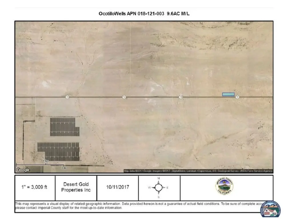
- About 85,000+ acres of Ocotillo Wells State Vehicular Recreation Area nearby for off‑highway exploration and recreation
- Parcel APN 018‑121‑003 N 318.20 FT TRACT 667
- Western boundary and part of the northern boundary connect with the 600,000‑acre Anza‑Borrego Desert State Park
Overview
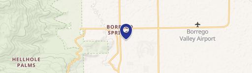
The site is located on the north side of Highway 78, between Pole Line Rd to the west and Highway 86 to the east, with the parcel noted as east of Borrego Springs and west of the Salton Sea. The western and part of the northern boundaries are described as connecting with the Anza-Borrego Desert State Park. Coordinates provided for the parcel are Lat 33.126609 and Long -115.941646, with APN 018-121-003 N and Tract 667.
For buyers seeking a desert base for personal recreation, the combination of off-highway access context and the S2-Open Space Preservation zoning may align with use plans such as parking a camper and recreational vehicles for seasonal getaways. This property is also presented as an opportunity to own a tract adjacent to large public land areas associated with off-highway exploration and recreation.
Current Use by Public Records
Map
- City
- Borrego Springs
- County
- San Diego
- State
- California
- Longitude
- -116.288
- Latitude
- 33.2758