
*** ****, Palo Verde, AZ 85343
- Added:
- Jun 20, 2025
- Days on Market:
- 360
- Last Refresh:
- Jun 14 at 7:06 am
Property Features for *** ****
General Information
- Property type
- Land
- Property subtype
- Other
- Zoning
- R-43
- Standard status
- Active
- APN
- 401-13-005-P
- Lot size
- 4.00 Acres
Taxes and HOA fees
- Tax Year
- 2024
- Tax Description
- POR N2 SEC 17 DAF COM AT N4 COR SD SEC TH S 01D 07M W 33F TH W 534.60F TH S 971.64F POB TH S 312F TH
- Tax Annual Amount
- 150
Listing agent Kimberly Melton License #SA661729000 (602) 316-3134
Listing office Cozland Corporation 15810 N 50th Dr, Glendale, AZ (602) 375-3434
Listing date Jun 20, 2025
Copyright © 2026 Arizona Regional Multiple Listing Service, Inc. All rights reserved. All information provided by the listing agent/broker is deemed reliable but is not guaranteed and should be independently verified.
HighLights
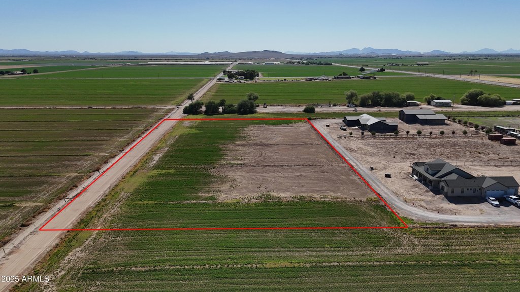
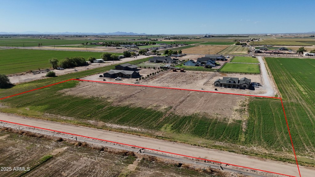
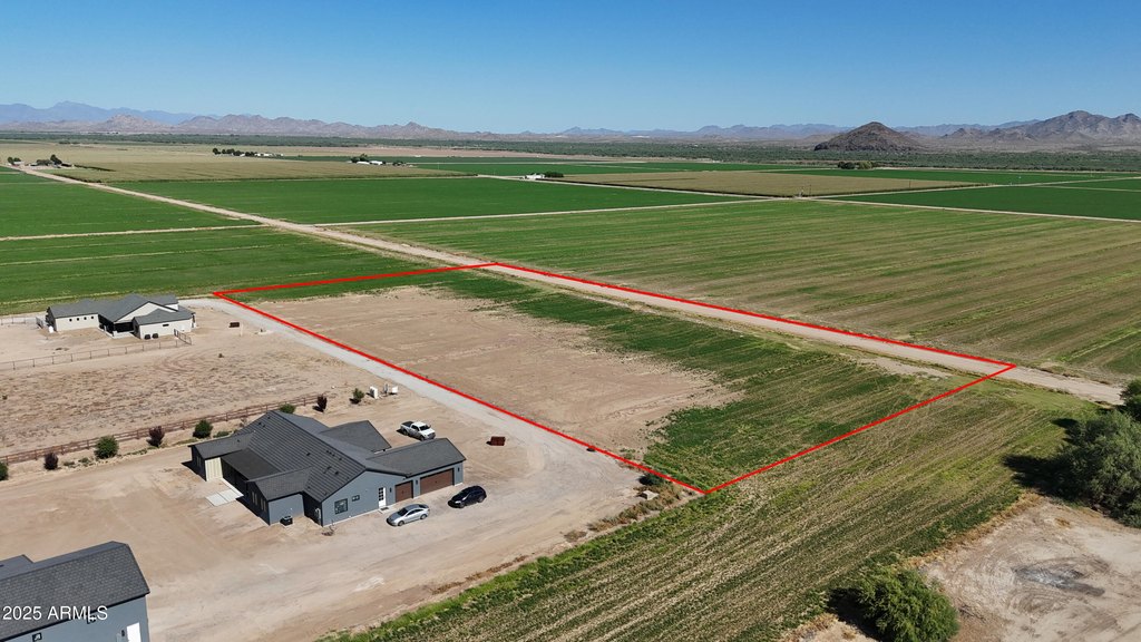
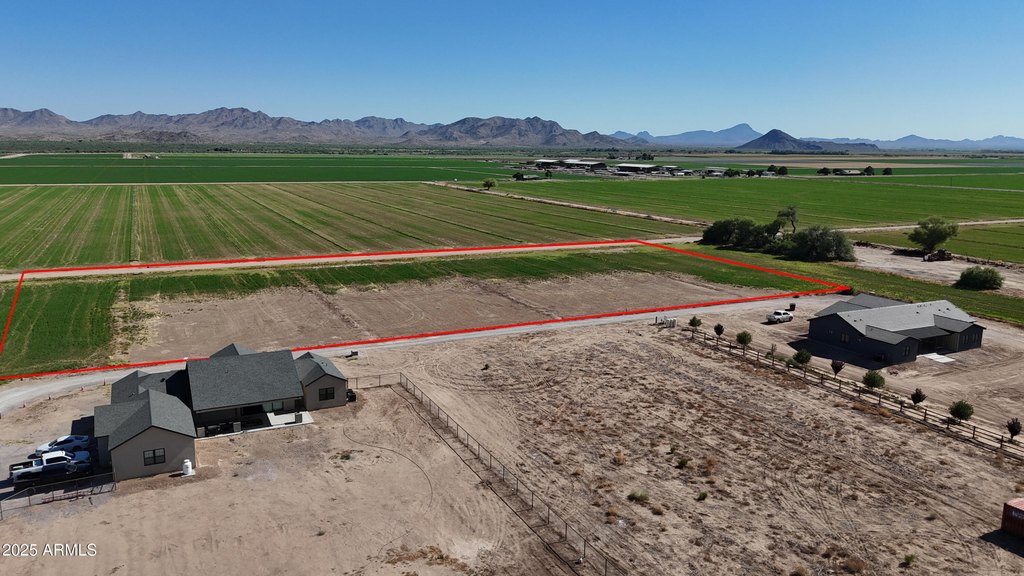
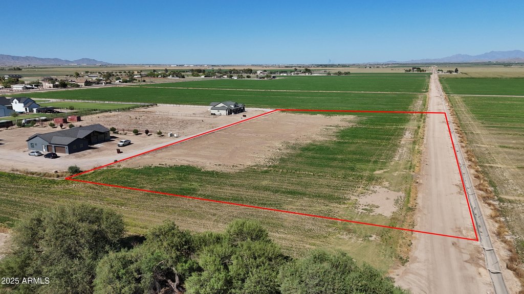
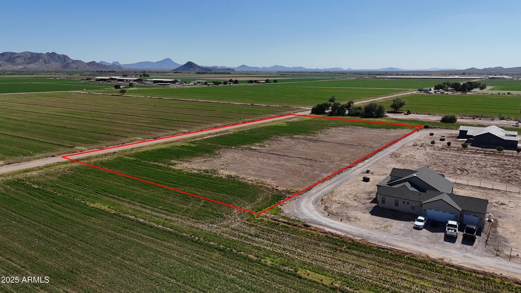
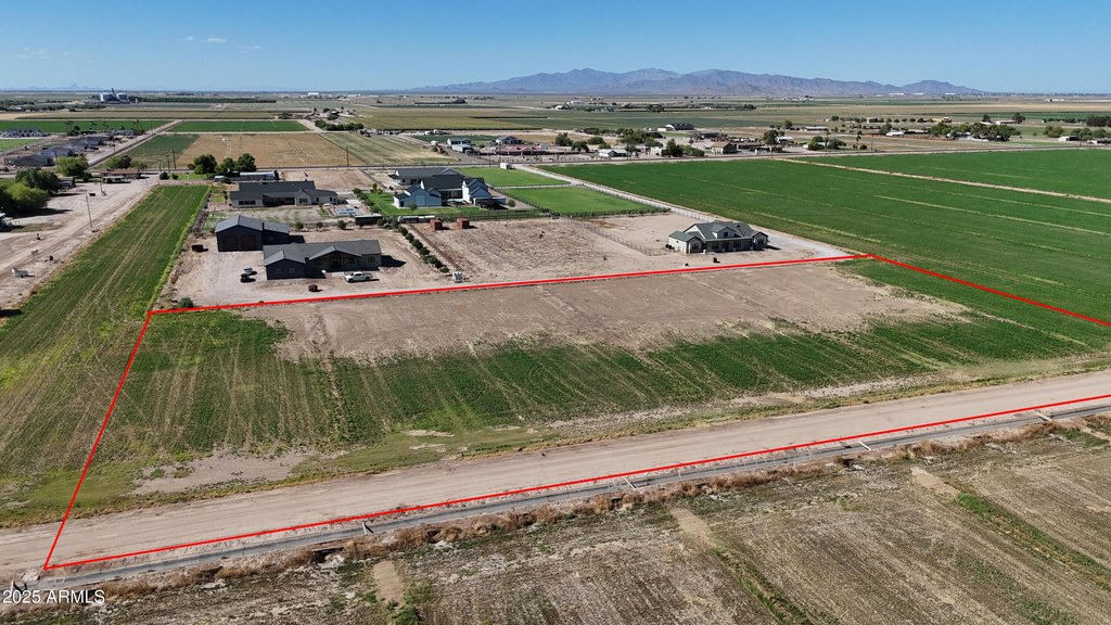
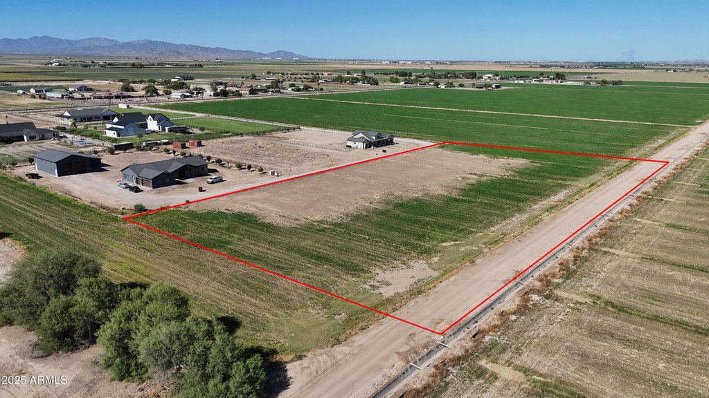
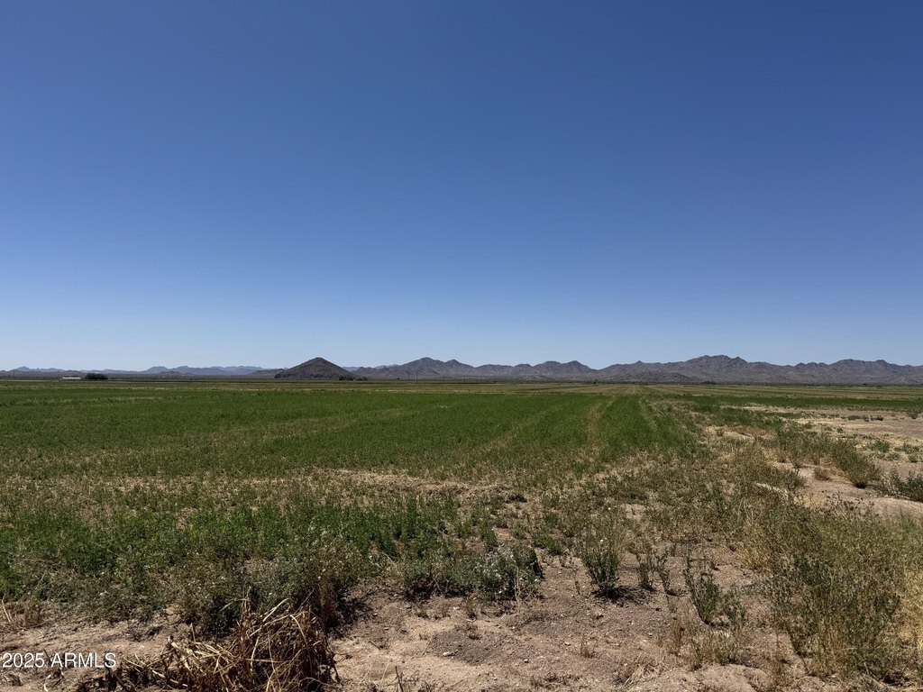
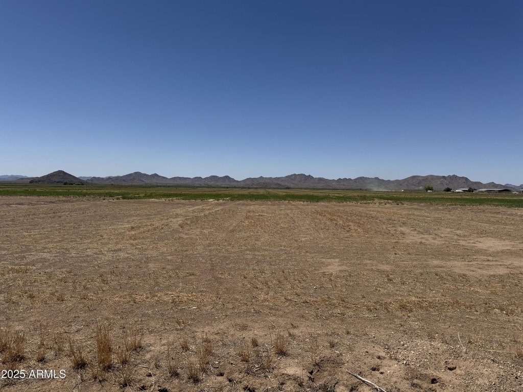
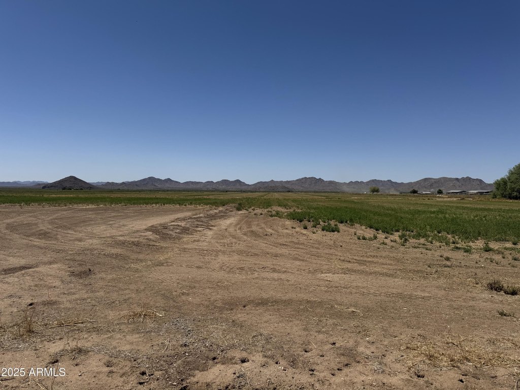
- 4 acres of irrigated land in Buckeye Irrigation District
- Laser leveled land with R‑43 zoning
- Gorgeous views of Buckeye hills and Palo Verde Butte
- Surrounded by custom homes with current CC&Rs in place
- Opportunity to build a dream home
- Located in the quiet community of Palo Verde
Overview
The parcel is in Palo Verde, AZ 85343, and is described as being surrounded by custom homes with current CC&Rs in place. The property is designated R-43 zoning, which is a key consideration for how the land may be used.
For buyers seeking agricultural property with irrigation through the Buckeye Irrigation District and an actively farmed setup identified as alfalfa fields, this tract provides a straightforward land profile, along with the added planning framework of existing CC&Rs. The R-43 zoning designation may also support residential development planning for those looking to build within the constraints of the recorded covenants.
Current Use by Public Records
Map
- City
- Palo Verde
- County
- Maricopa
- State
- Arizona
- Longitude
- -112.688266
- Latitude
- 33.345191


