
21079 1st Avenue, , IA, IA
- Added:
- Jun 8, 2026
- Days on Market:
- 11
- Last Refresh:
- Jun 18 at 7:06 am
Property Features
General Information
- Property type
- Land
- Property subtype
- Other
- Zoning
- Ag
- Standard status
- Active
- Lot size
- 162.00 Acres
Taxes and HOA fees
- Tax Annual Amount
- 7502
Listing agent David & Ann Whitaker License #B61078 (515) 460-8585
Listing office Whitaker Marketing Group 26466 Sand Hill Trail, Ames, IA (515) 460-8585
Listing date Jun 8, 2026
Copyright © 2026 Central Iowa Board of Realtors, Inc. All rights reserved. All information provided by the listing agent/broker is deemed reliable but is not guaranteed and should be independently verified.
HighLights
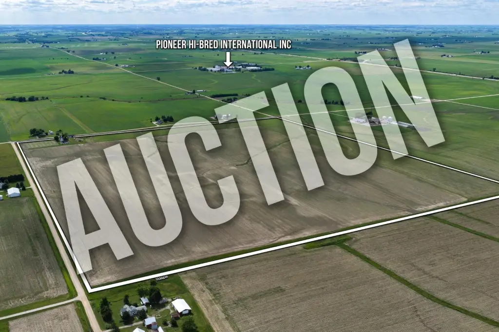
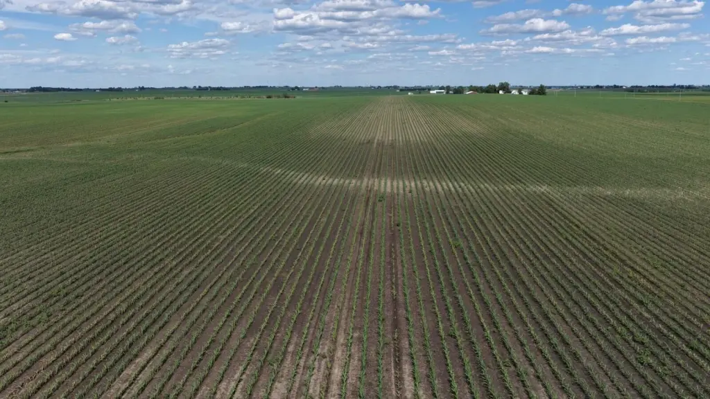
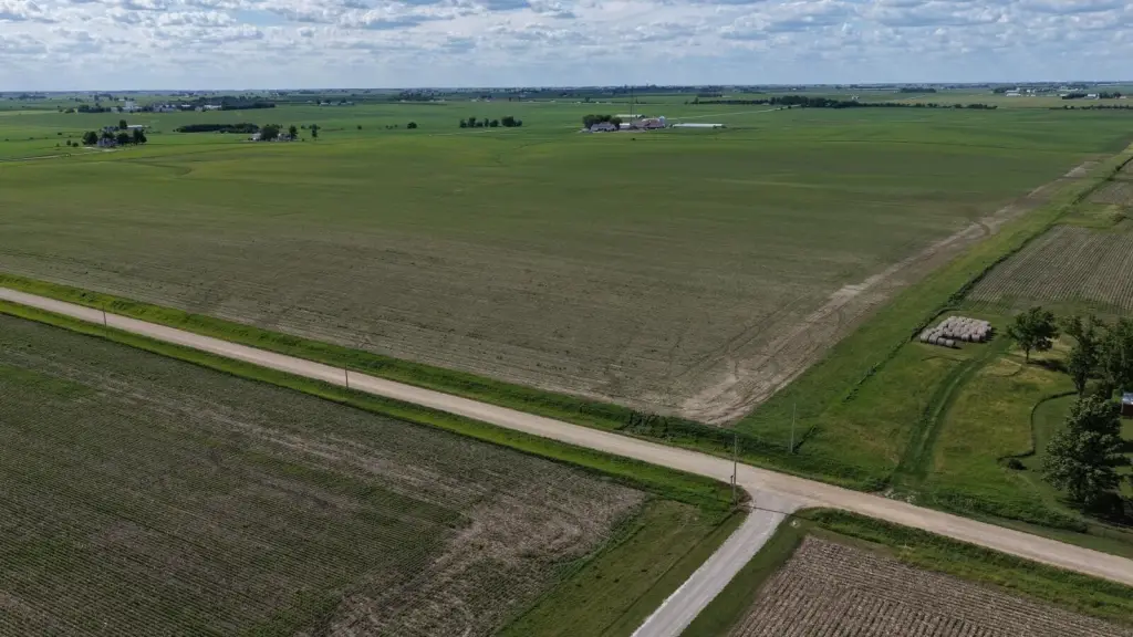
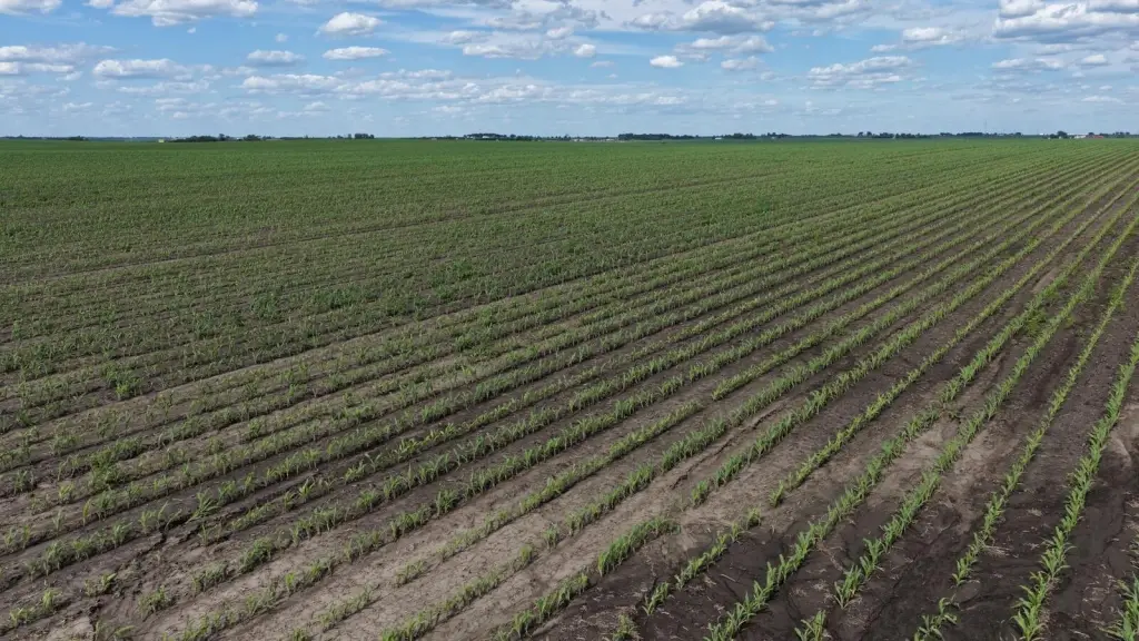
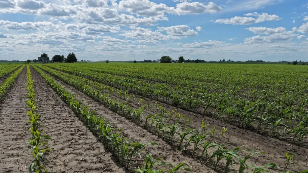
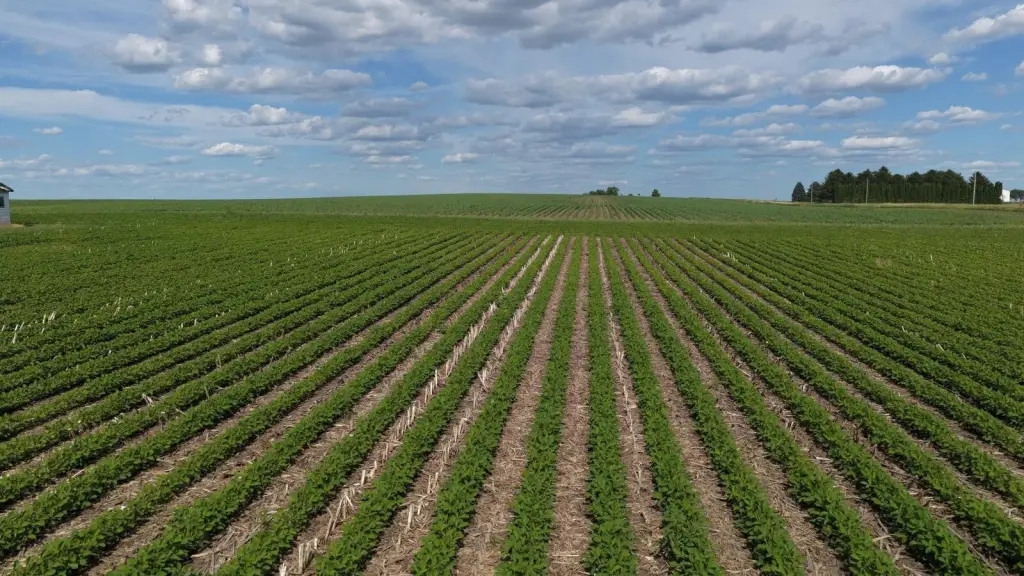
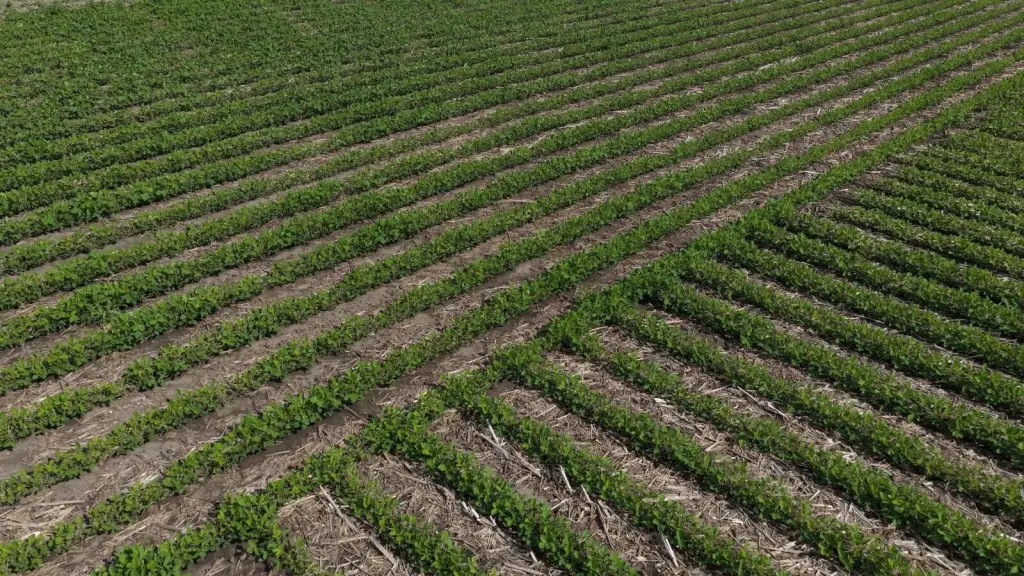
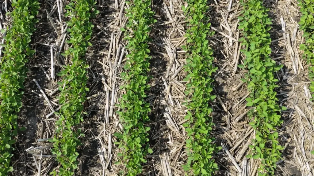
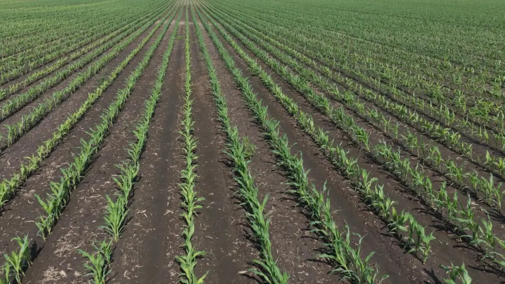
- 162 +/- acre farmland tract (Sec 30‑79N‑01W) with 158.5 tillable acres (Surety Maps) for cash‑rent farming.
- CSR2 rating of 91.9 on tillable acres (Strong CSR) and established seed corn production.
- Rented for the 2026 crop season; buyer will receive a $7,000 cash credit at closing.
- Gross acres 162 and FSA farmland acres 163.97 +/- with 162.30 +/- FSA cropland acres.
- HEL & wetlands base includes 119.30 +/- HEL total base acres, with 103 +/- corn base and 178 PLC yield; 16.30 +/- soybean base with 59 PLC yield.
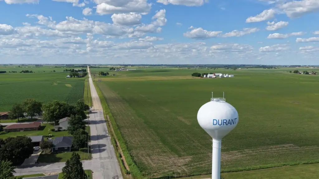
- Auction: Tuesday, Aug 25, 2026 at 11:00am at Durant Community Center, 606 5th Ave, Durant, IA 52747.
Overview
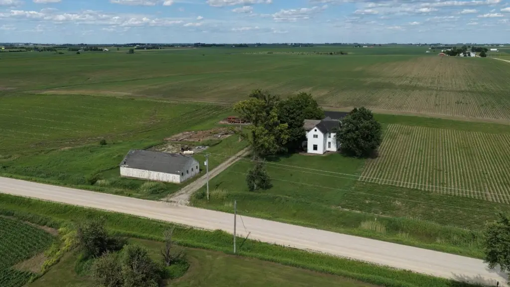
The farm is located about 1.2 miles south of Interstate 80 in an agricultural area. Parcel and legal details are provided for Sec 30-79N-01W, including parcel IDs 913033001, 913035001, 913051001, and 913049001. Directions from Durant are included in the remarks: from Durant, head north on 14th Ave/Vail Ave, then continue onto 1st Ave/Scott Cedar Rd to the right (east) side of the road. The tenant is in place for the 2026 crop season, and the buyer will receive a cash credit at closing of $7,000.
Improvements include a 28 ft x 58 ft machine shed built in 1920 and a 20 ft x 40 ft poultry house also built in 1920. A house is noted as built in 1900 with approximately 2,093 square feet and 5 bedrooms / 1 bathroom, served by well water and Alliant Energy electricity. For zoning, the estimated classification is Ag, and the property is associated with Durant School District.
Current Use by Public Records
Map
- City
- County
- State
- Iowa
- Longitude
- -90.897046
- Latitude
- 41.613245


