VL Mill Pond Trail Whitehall, MI 49461
- Added:
- Apr 9, 2026
- Days on Market:
- 11
- Last Refresh:
- Apr 19 at 4:06 am
Property Features for VL Mill Pond Trail
General Information
- Property type
- Land
- Property subtype
- Other
- Standard status
- Active
- APN
- 61-03-024-100-0002-00
- Lot size
- 0.57 Acres
Taxes and HOA fees
- Tax Year
- 2025
- Tax Description
- WHITEHALL TOWNSHIP PART OF N 1/2 OF NW 1/4 OF SEC DESC AS FOL: COM AT NW COR OF SD SEC TH S 86D 04M E ALG N LN OF SD SEC 1125 FT FOR POB TH S 110 FT TH S 86D 04M E 167 FT TO WATER EDGE IN SILVER CREEK POND TH NLY ALG WATERS EDGE SILVER CREEK 110 FT M /L TO N LN OF SEC 24 TH N 86D 04M W 204 FT M/L TO POB SEC 24 T12N R17W
- Tax Annual Amount
- 466
Utilities
- Utilities
- Electricity Available
- Water front features
- Creek, Pond
- Water front
- 1

Listing agent Bradley Irey (231) 670-6098
Listing office Lakeshore Connection Real Est. 8718 Water St, Ste A, Montague, MI (231) 780-8436
Listing date Apr 9, 2026
MLS# 26014889
Listing URL
Copyright © 2026 Michigan Regional Information Center, LLC. All rights reserved. All information provided by the listing agent/broker is deemed reliable but is not guaranteed and should be independently verified.
Overview
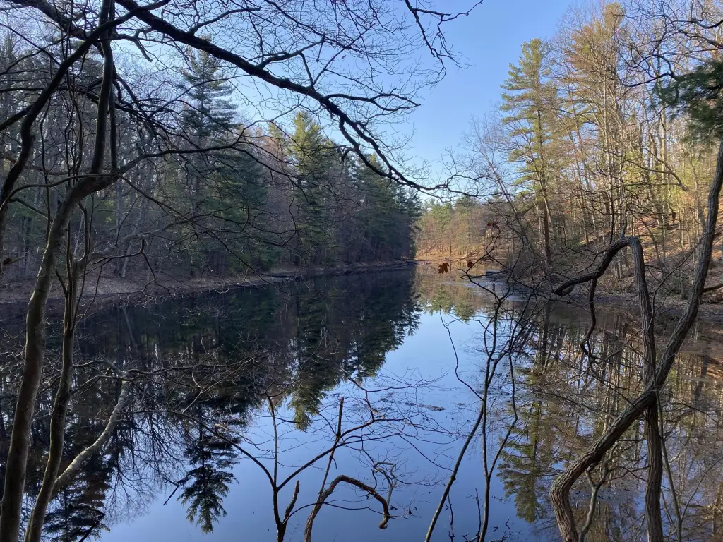
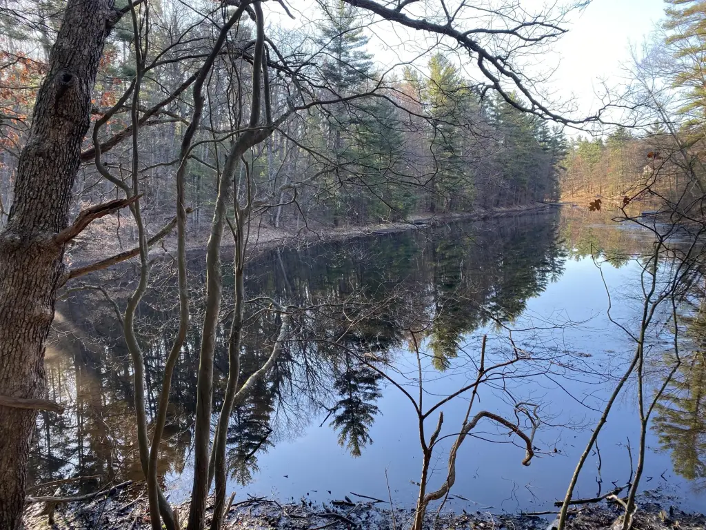
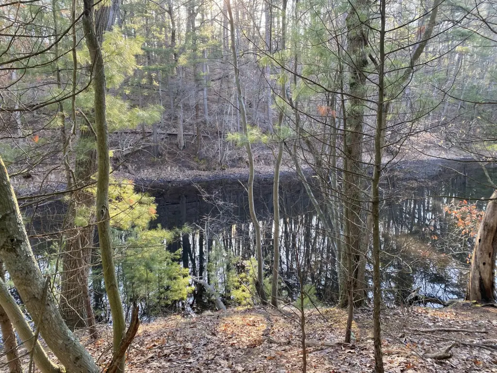
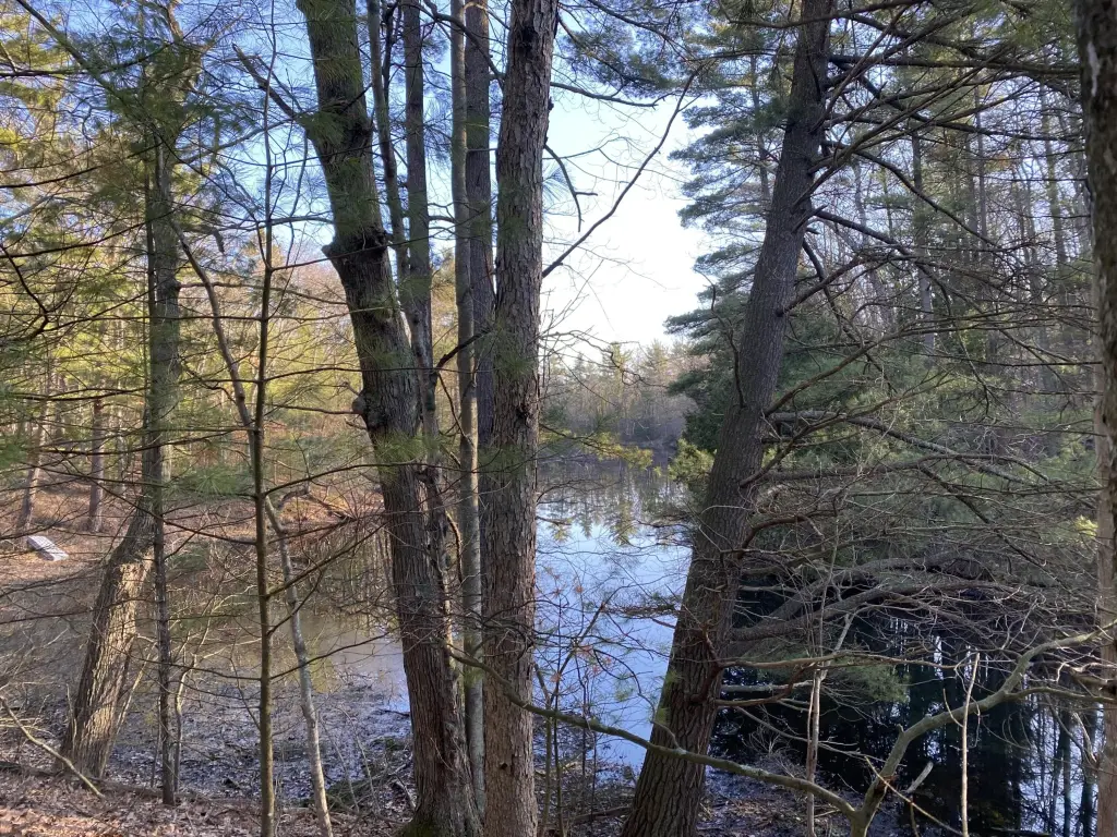
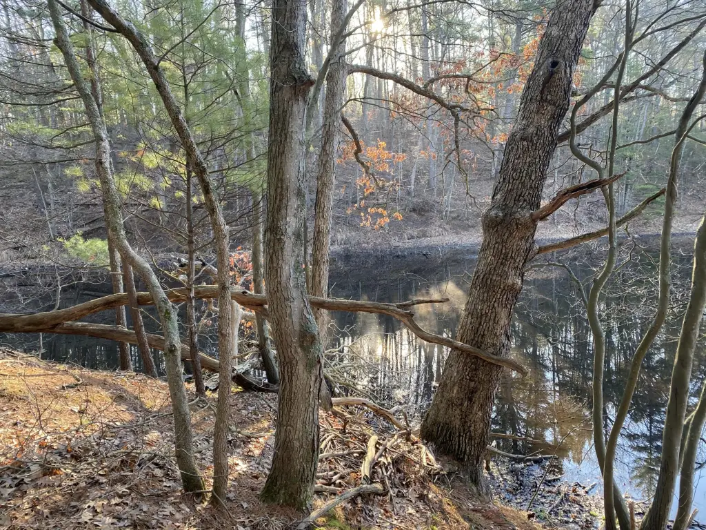
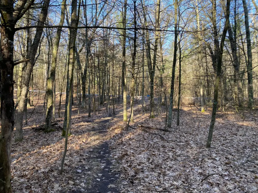
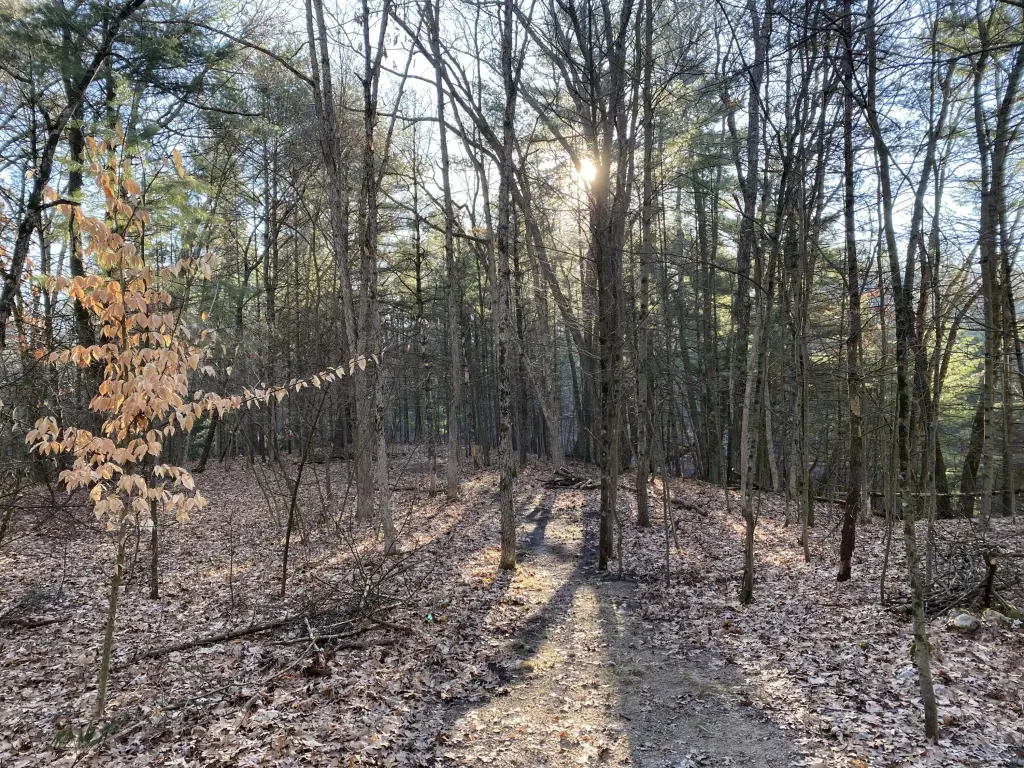
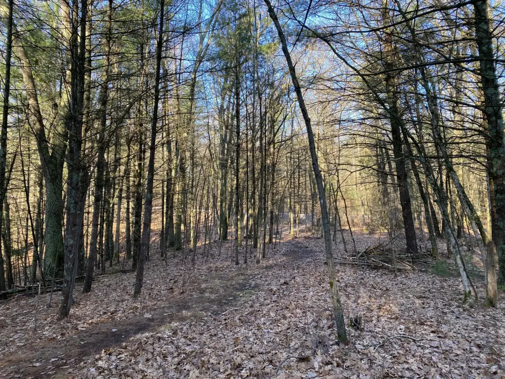
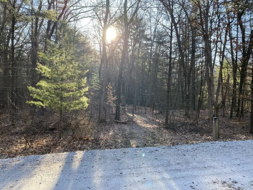
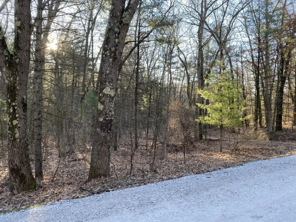
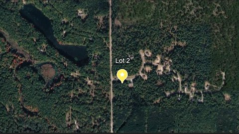
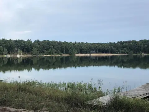
Whitehall Buildable Waterfront Lot
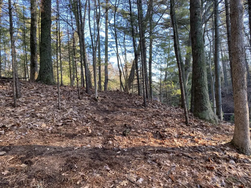
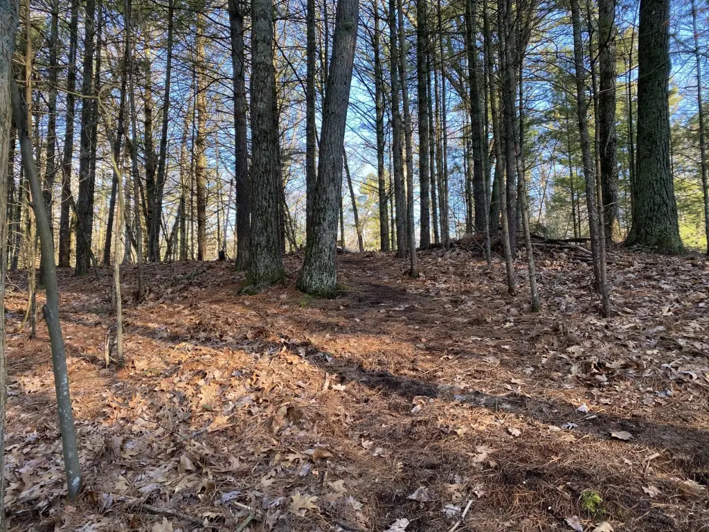
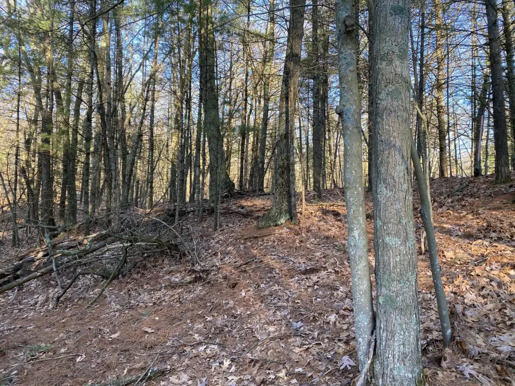
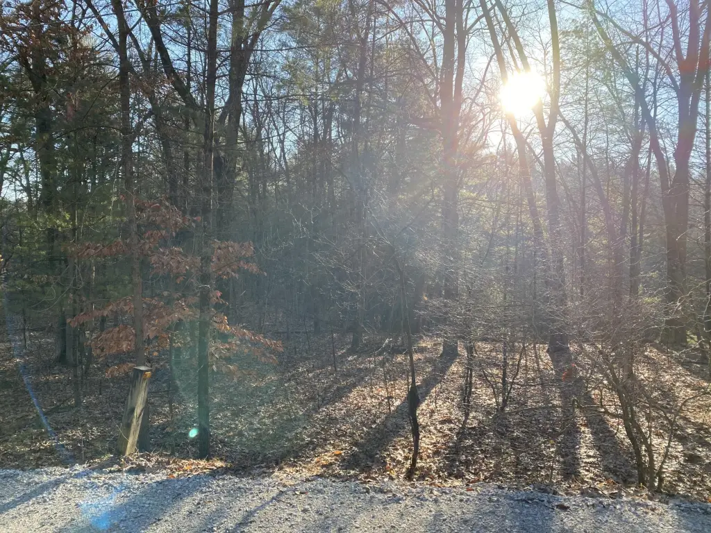
This buildable waterfront lot is located within the Whitehall School District on Mill Creek Pond. The wooded property features an elevated building site on a peninsula, offering water views in three directions. Mature trees surround the landscape, providing privacy and views of the pond and open skies. The property is located less than 3 miles from US-31, shopping, and dining, and approximately 10 miles from Lake Michigan's beaches and Michigan's Adventure theme park. Zoned AA HD (high-density residential) in Whitehall Township, the property is located in Flood Zone X, indicating a low-risk area outside major floodplains.
Property Profile
Insight Report
Location Intelligence
Current Use by Public Records
Waterfront Land
Map
- City
- Whitehall
- County
- Muskegon
- State
- Michigan
- Longitude
- -86.3162
- Latitude
- 43.3852
Nearby Similar for Sale


FAQs
What type of property is this?
Waterfront Land - Buildable waterfront lot on Mill Creek Pond in Whitehall, MI.
Where is this waterfront land located?
The property is located at VL Mill Pond Trail Whitehall, MI.
What is the asking price?
The asking price for this property is $49,999.
What are key features of this property?
This property features: Buildable waterfront lot on Mill Creek Pond with **stunning water views in three directions**.; **Elevated, high and dry building site** on a peninsula.; Located in Flood Zone X (low‑risk area), flood insurance typically not required.


