VL Curtisville Road, Mio, MI 48647
- Added:
- Jun 17, 2026
- Days on Market:
- 5
- Last Refresh:
- Jun 21 at 3:06 pm
Property Features for VL Curtisville Road
General Information
- Property type
- Land
- Property subtype
- Other
- Standard status
- Active
- APN
- 006-212-001-00
- Lot size
- 120.00 Acres
Taxes and HOA fees
- Tax Description
- T25 N R4 E Sec 12 Ne 1/4 Of Se 1/4 & S 1/2 Of Se 1/4. 120 A.
Utilities
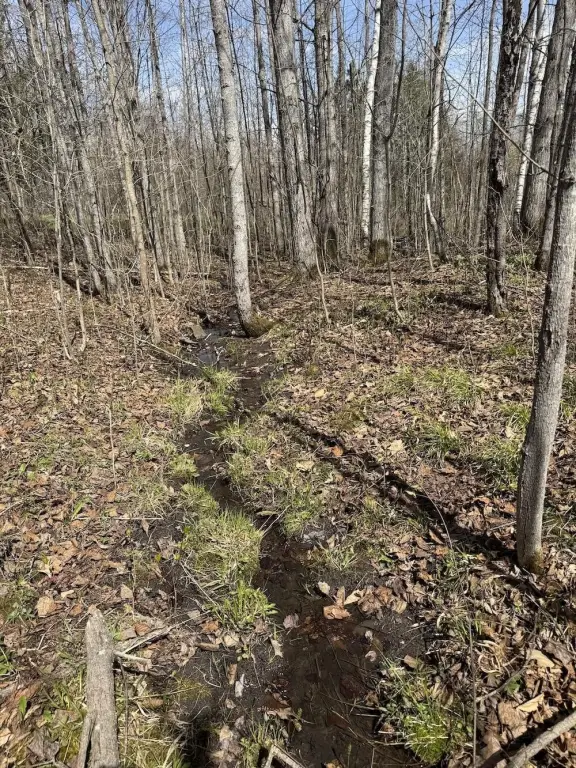
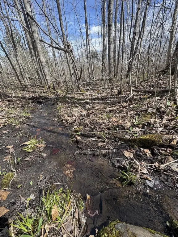
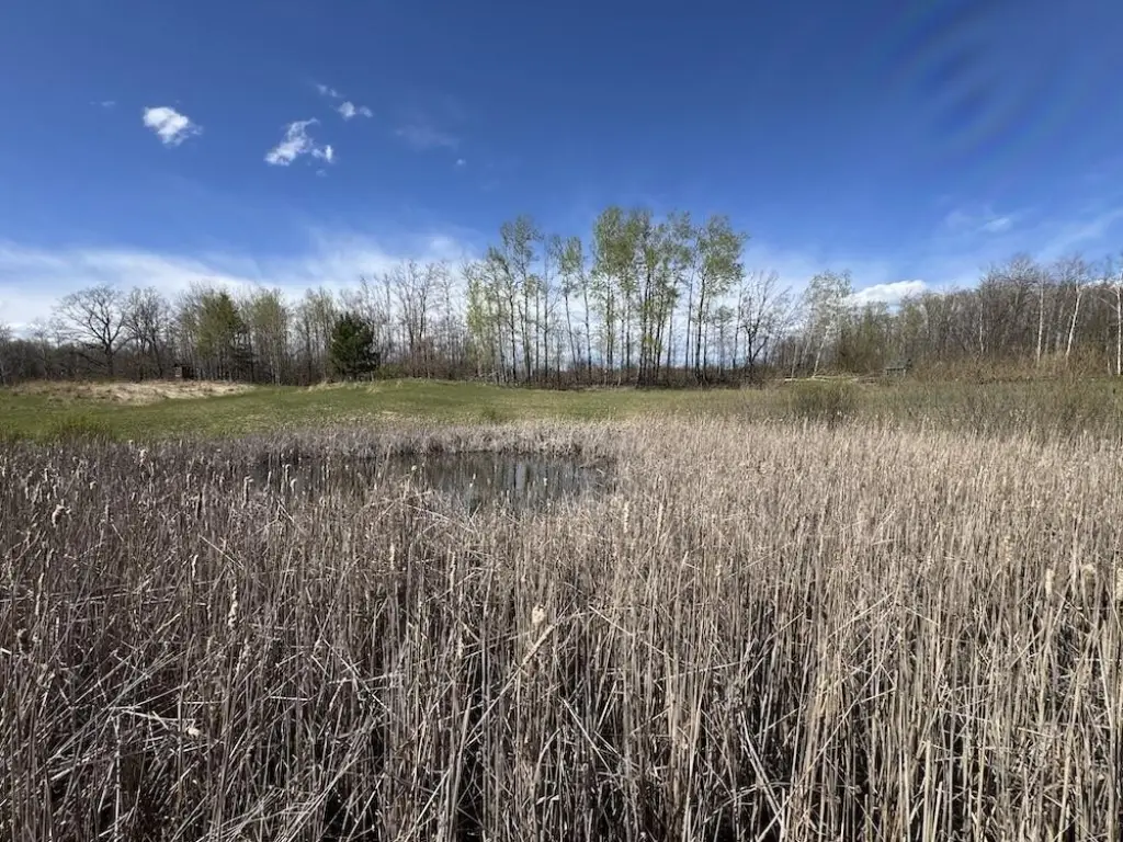
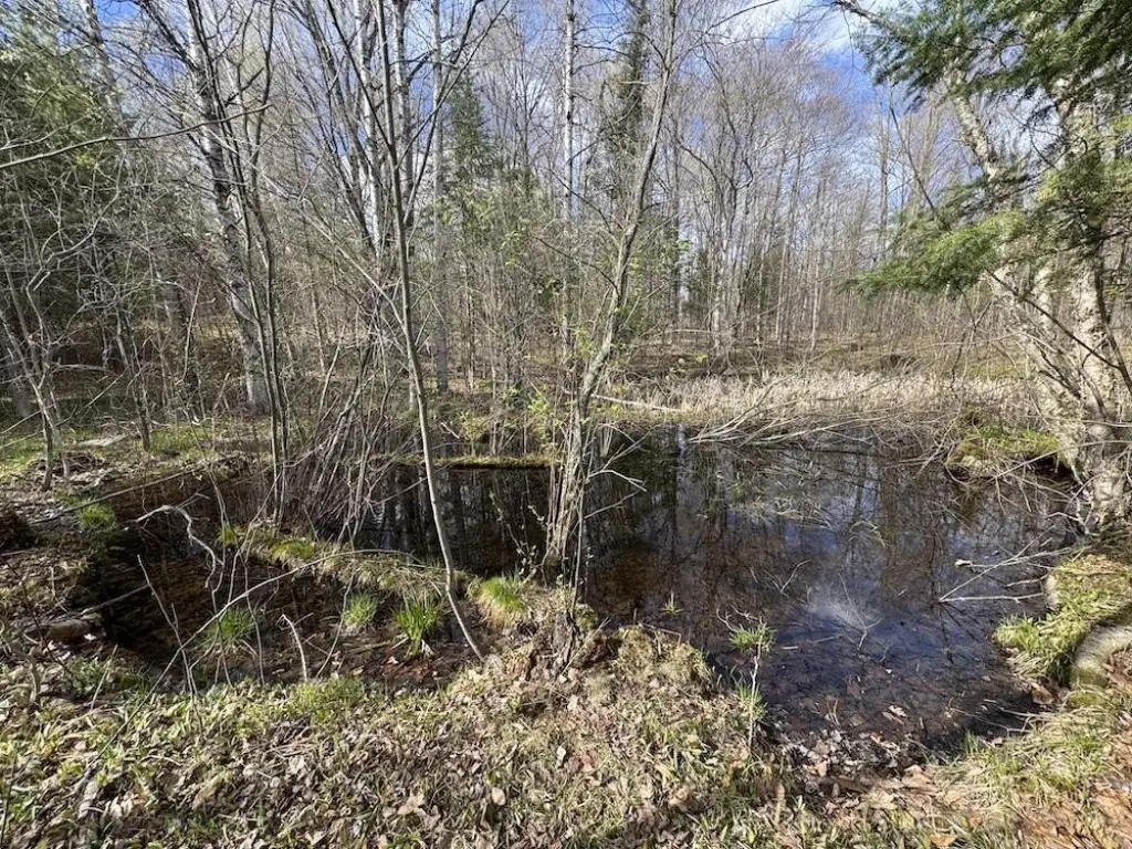
- Water front features
- Pond
Listing agent Jeff Chilman License #6501411624 (989) 205-2355
Listing office Whitetail Properties Real Estate, LLC 2020 Nelson Ave Suite 28, Petoskey, MI (217) 407-0814
Listing date Jun 17, 2026
Copyright © 2026 Michigan Regional Information Center, LLC. All rights reserved. All information provided by the listing agent/broker is deemed reliable but is not guaranteed and should be independently verified.
HighLights
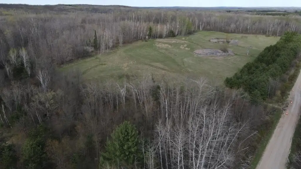
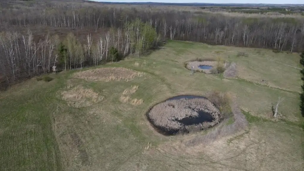
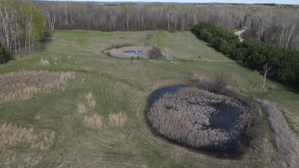
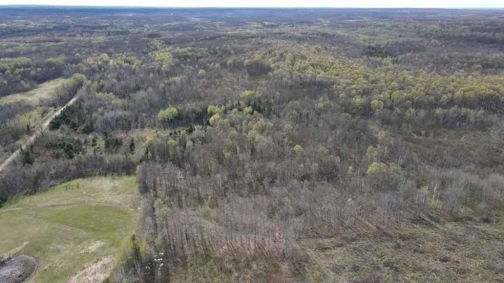
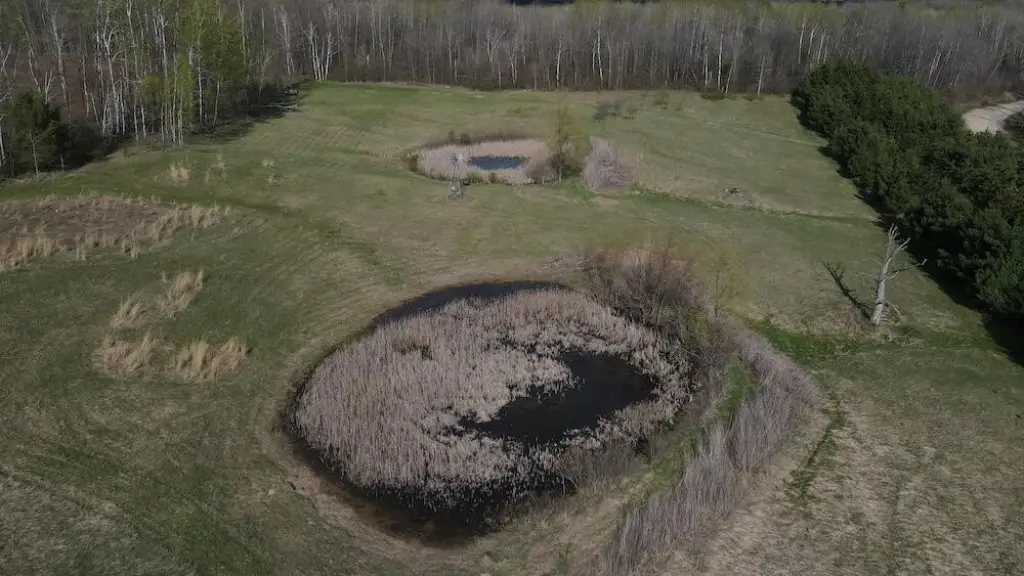
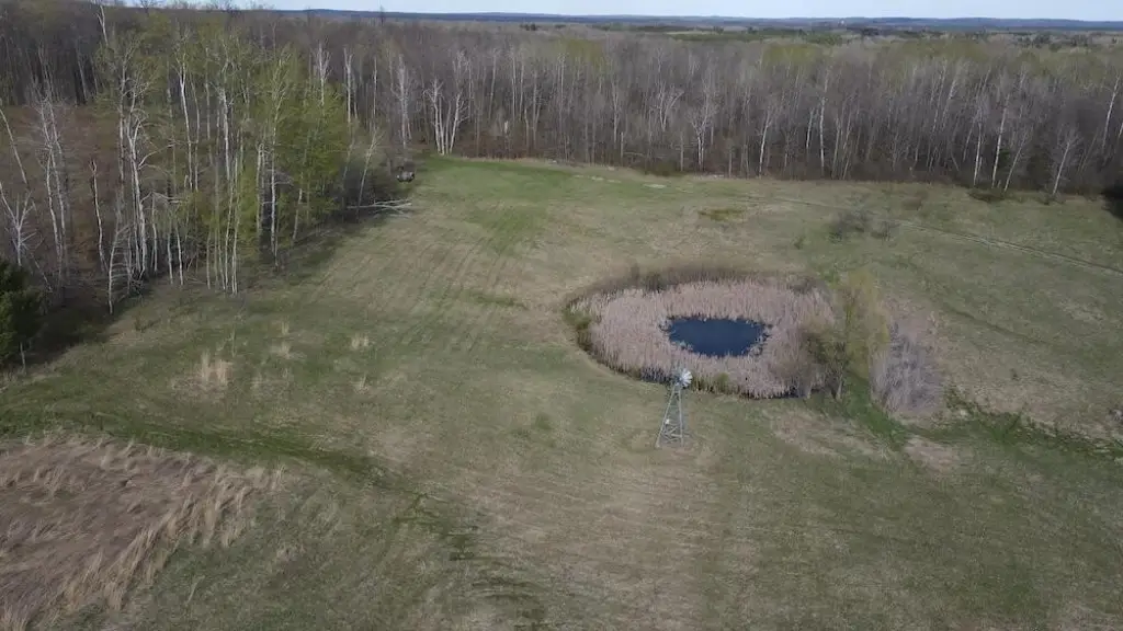
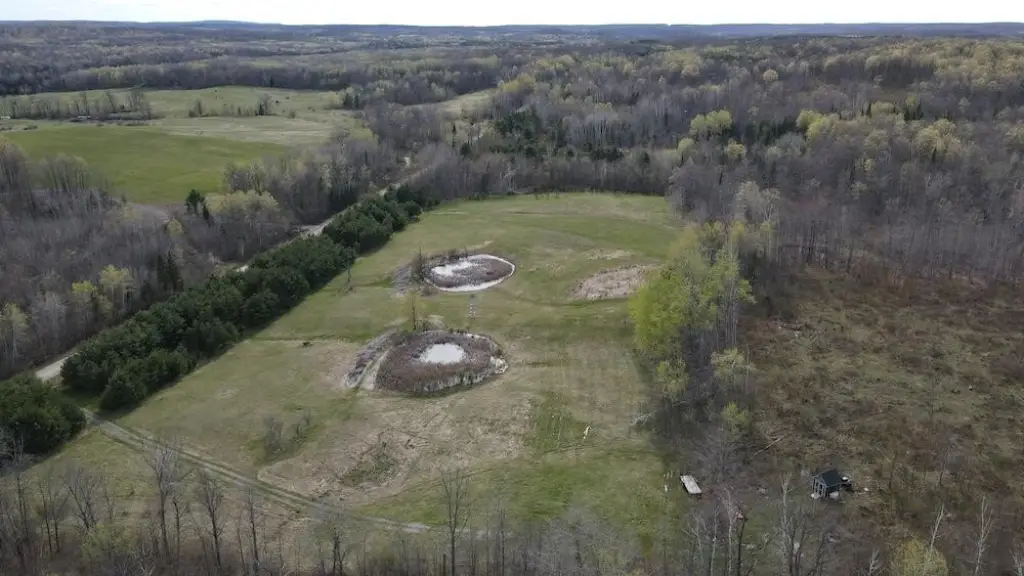
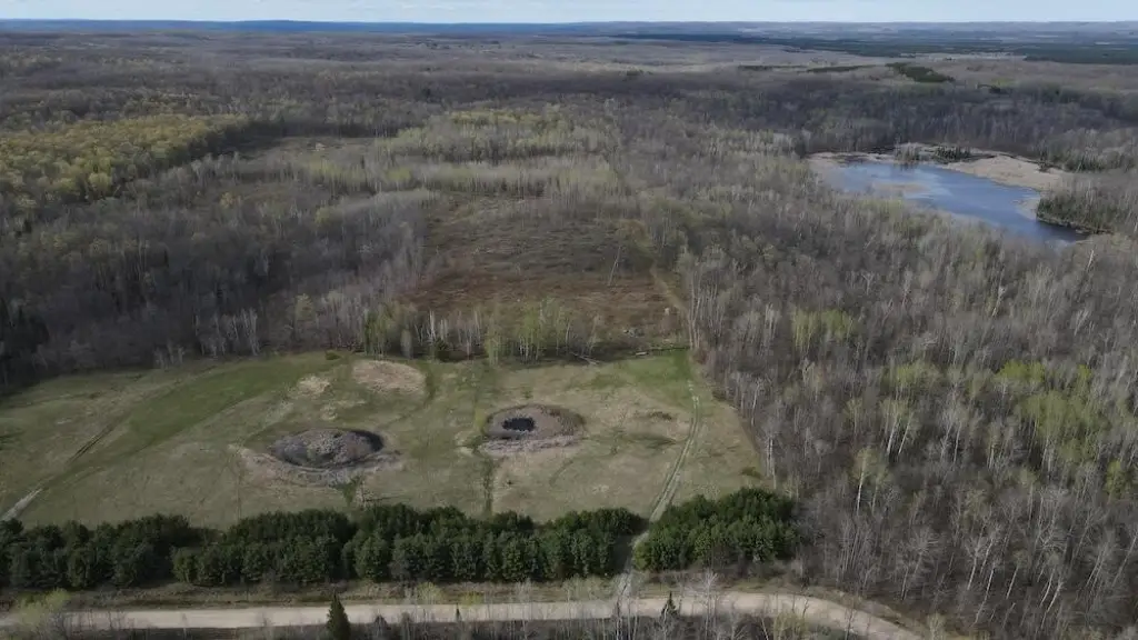
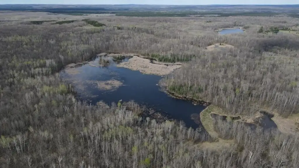
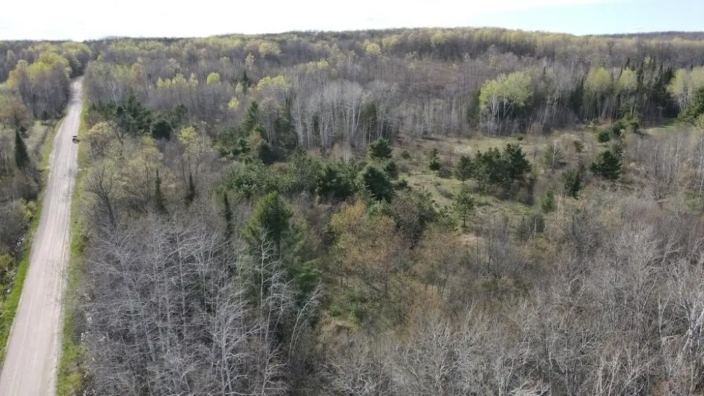
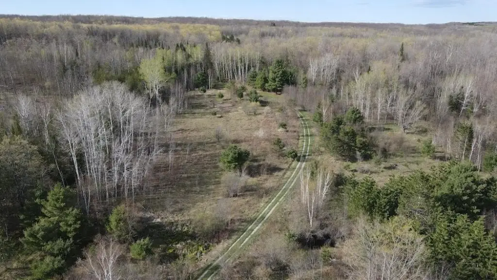
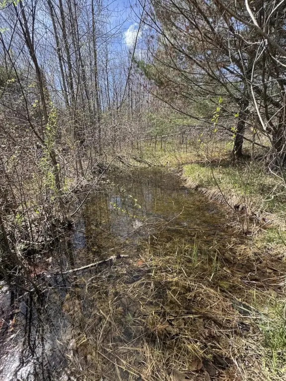
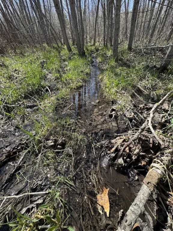
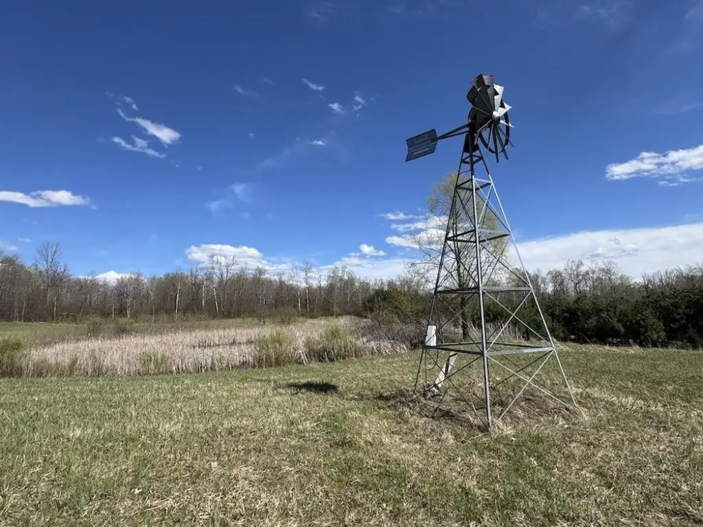
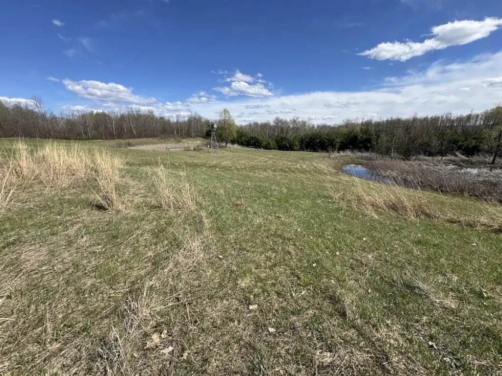
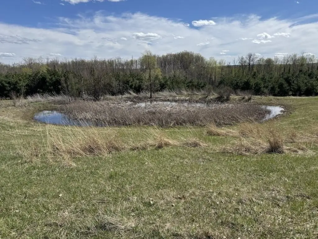
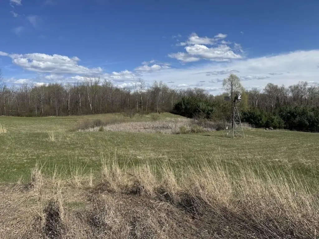
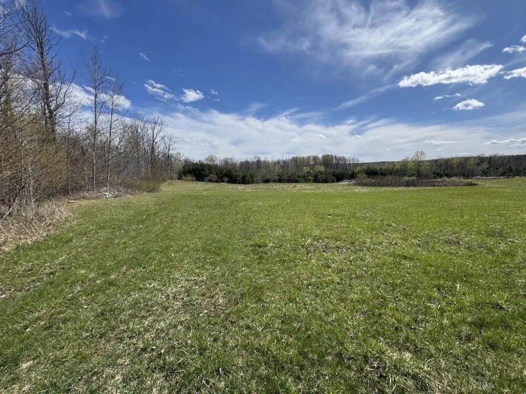
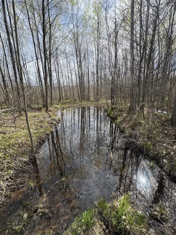
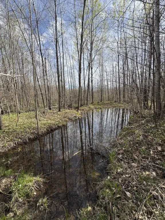
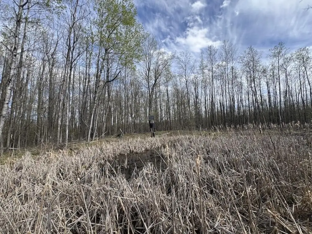
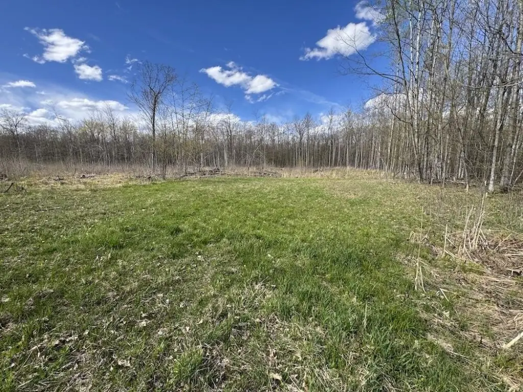
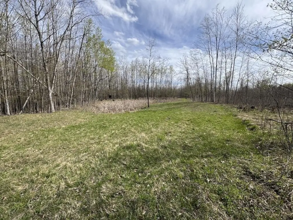
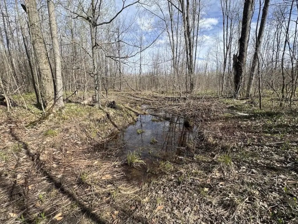
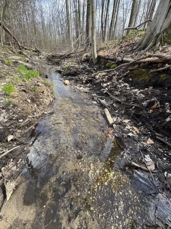
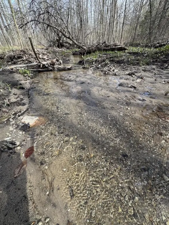
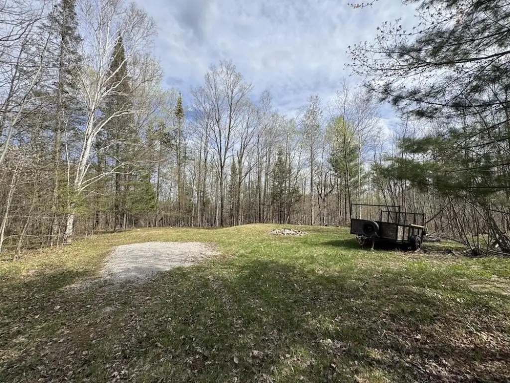
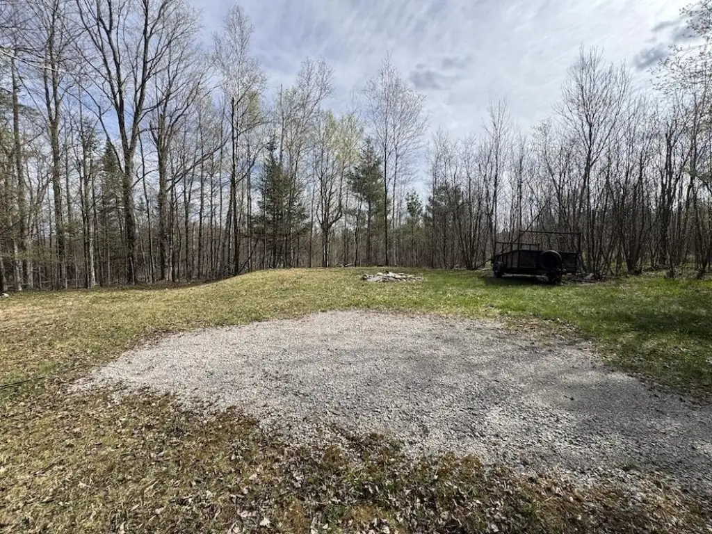
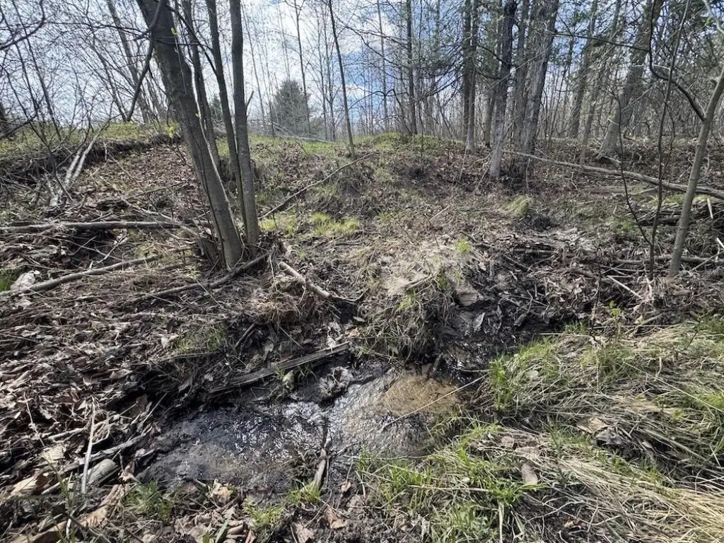
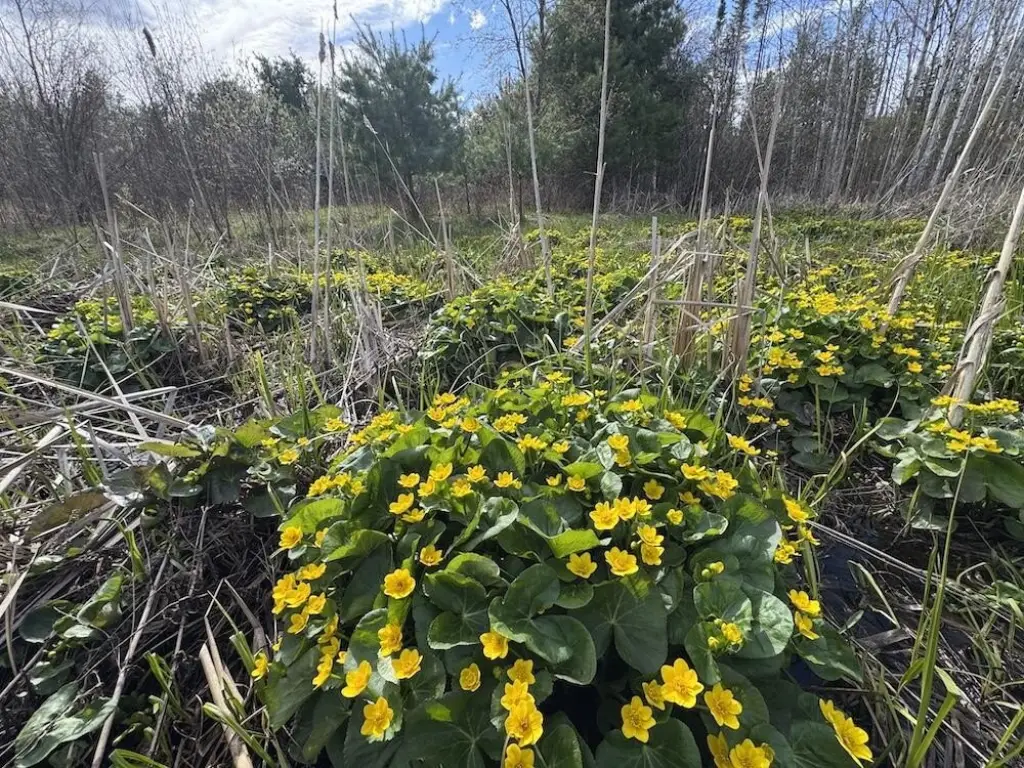
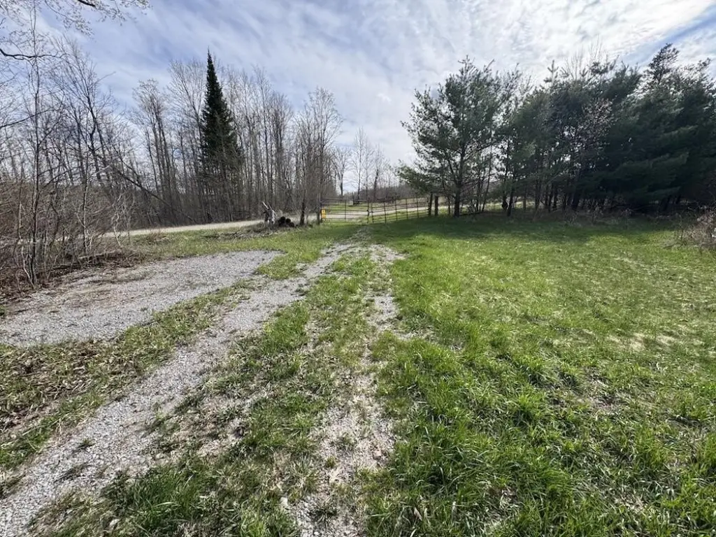
- 120‑acre recreational property with pond waterfront features
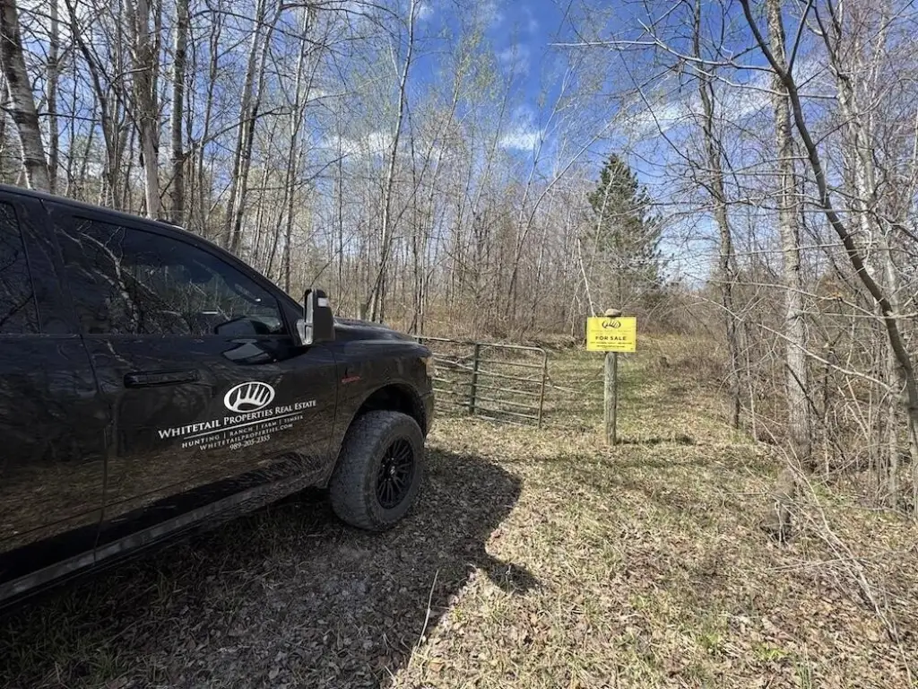
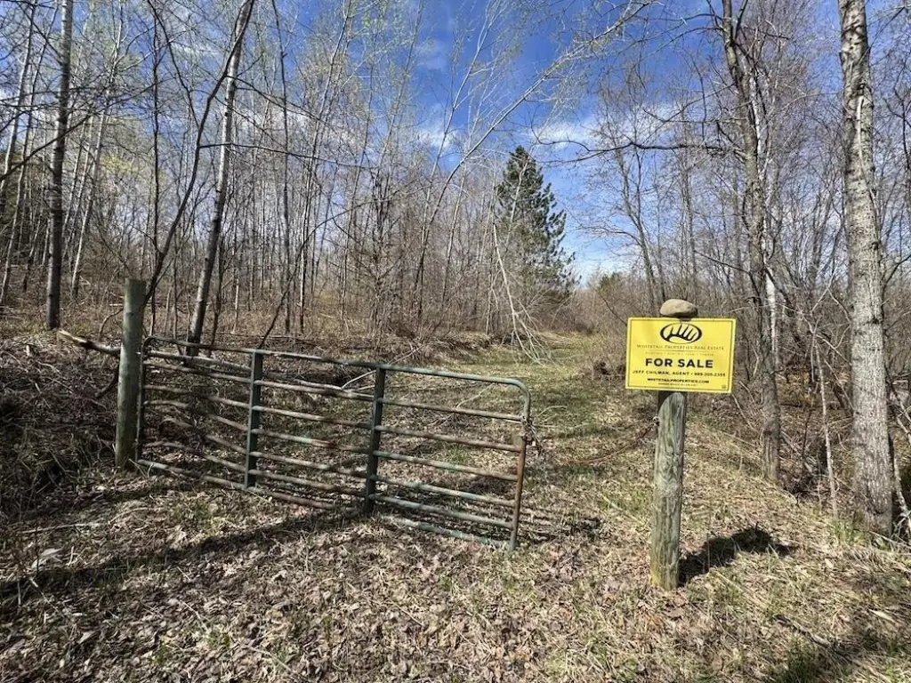
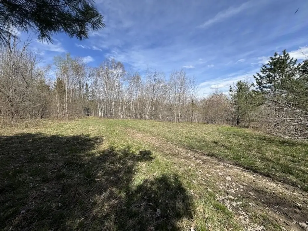
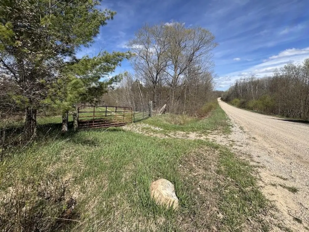
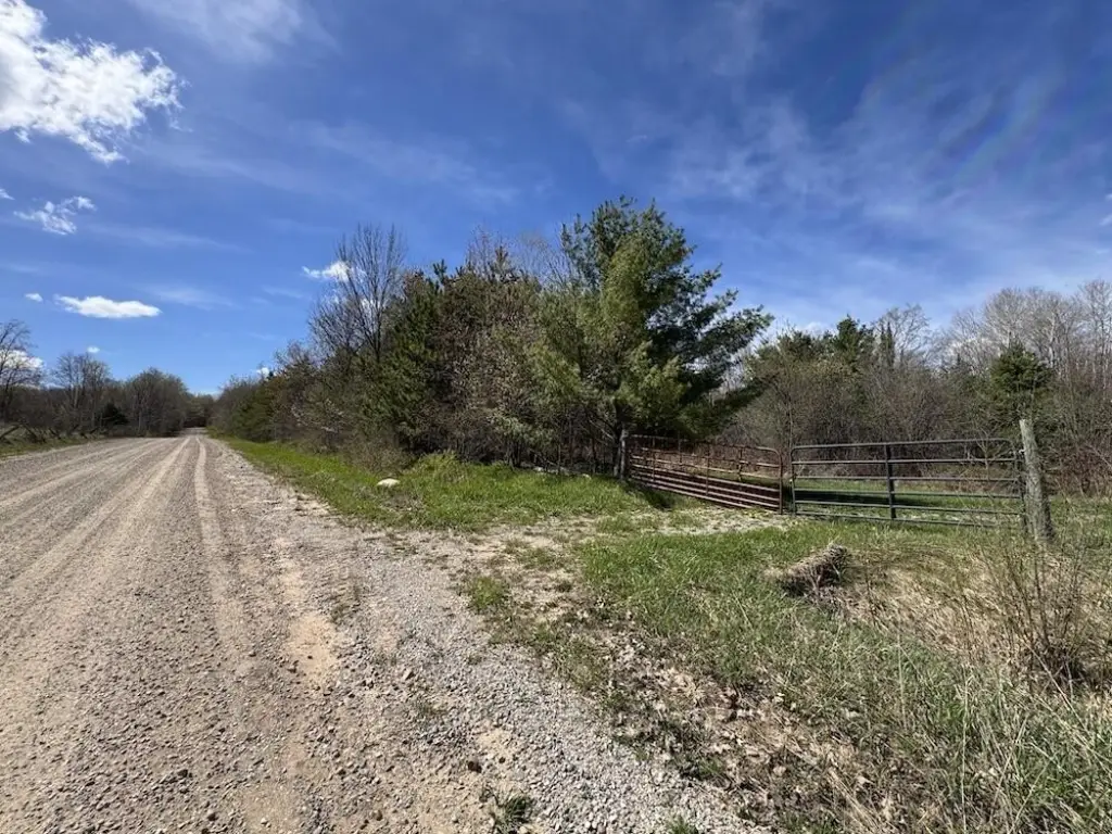
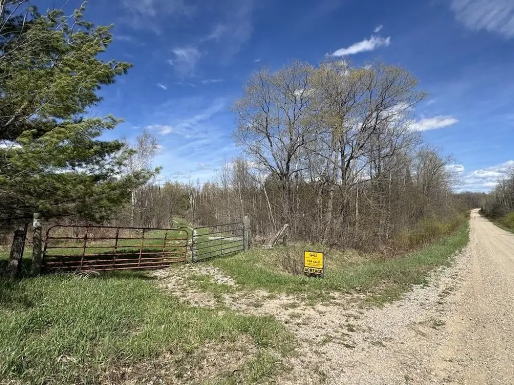
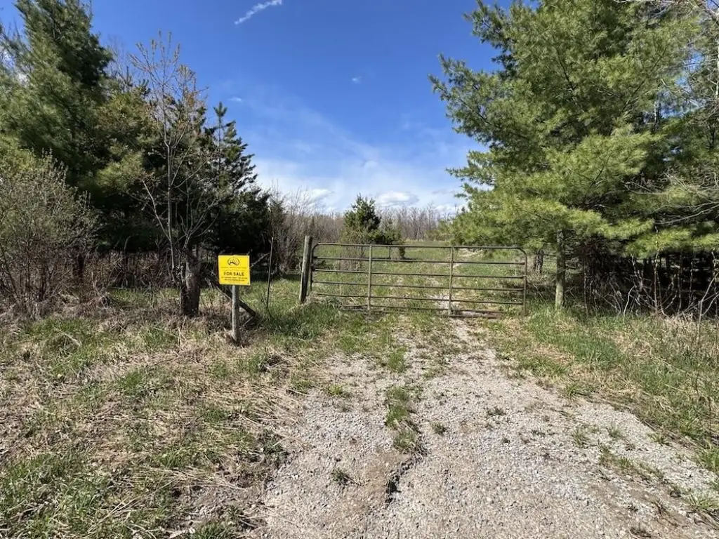
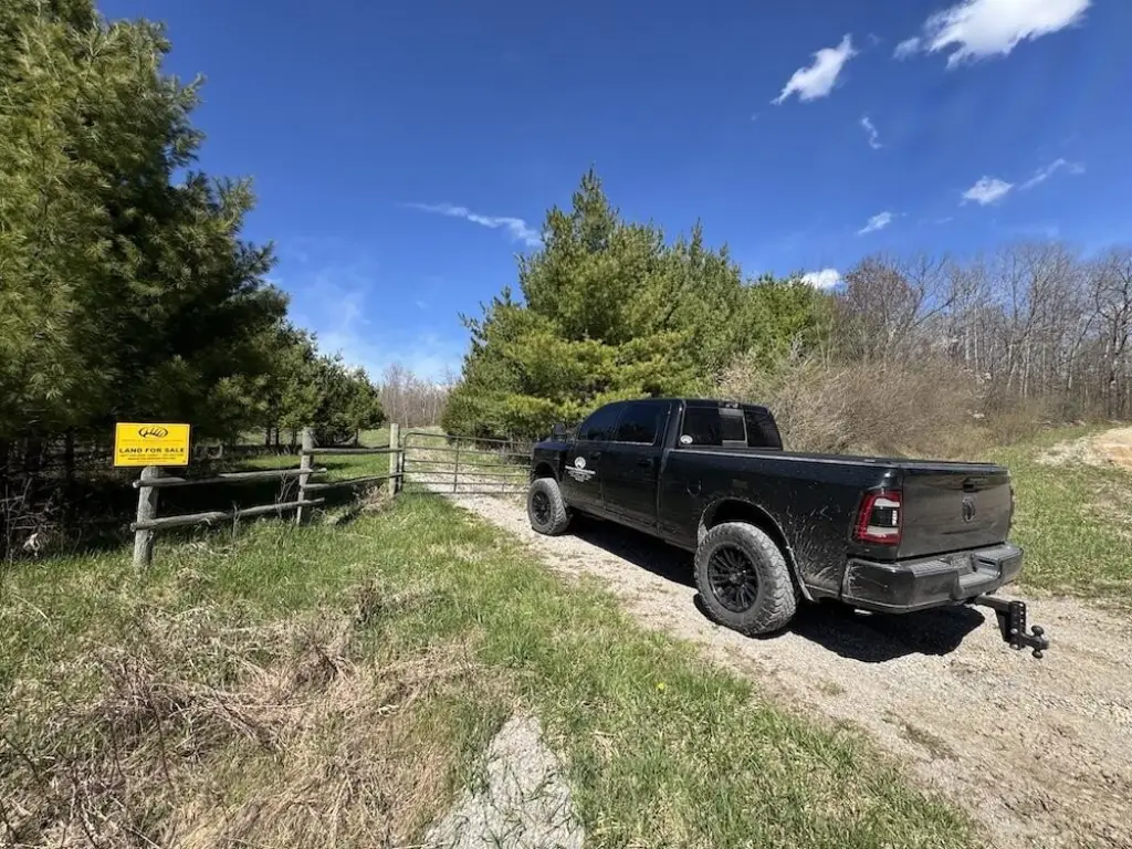
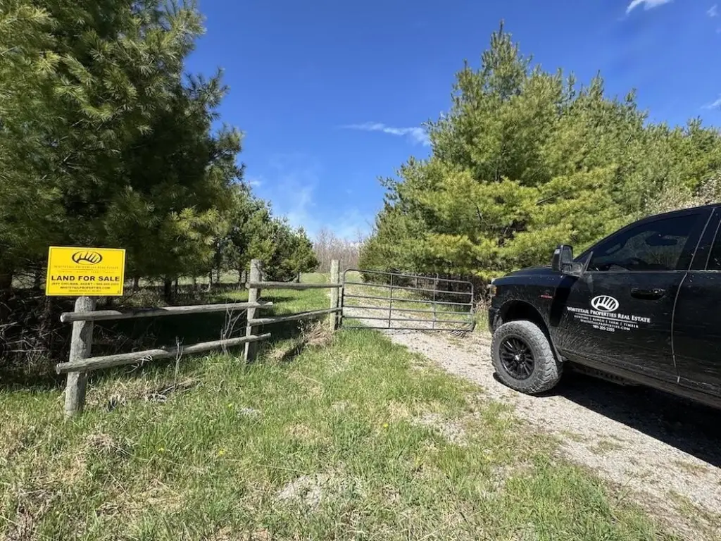
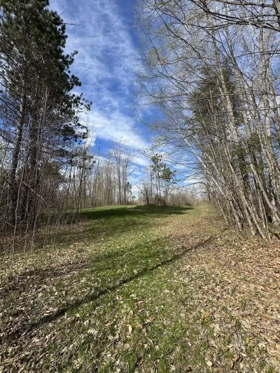
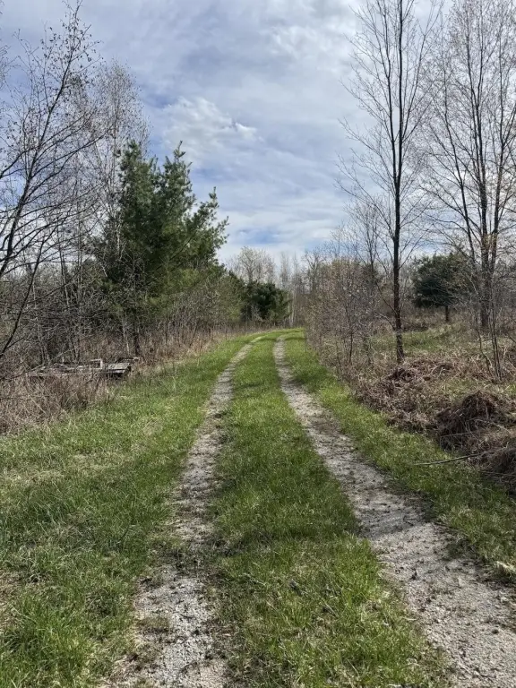
- Four gated access points along the south boundary and road frontage across the entire southern border
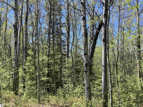
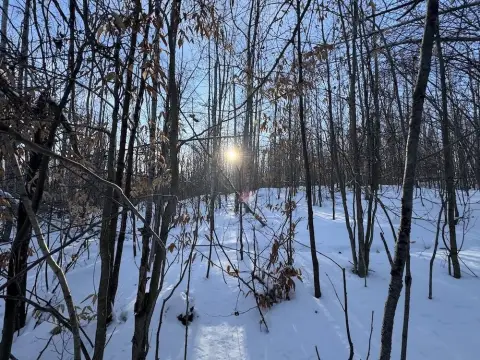
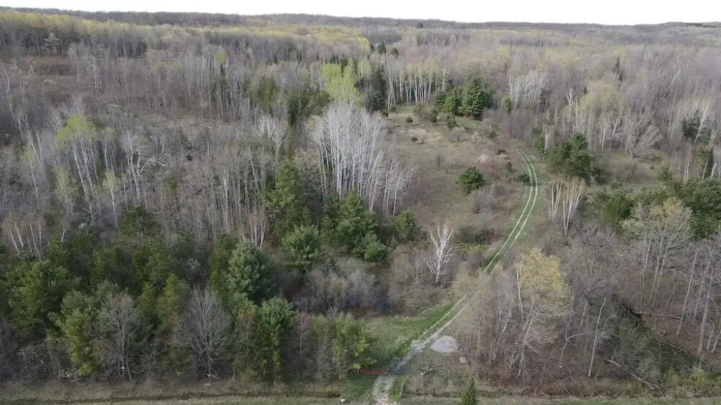
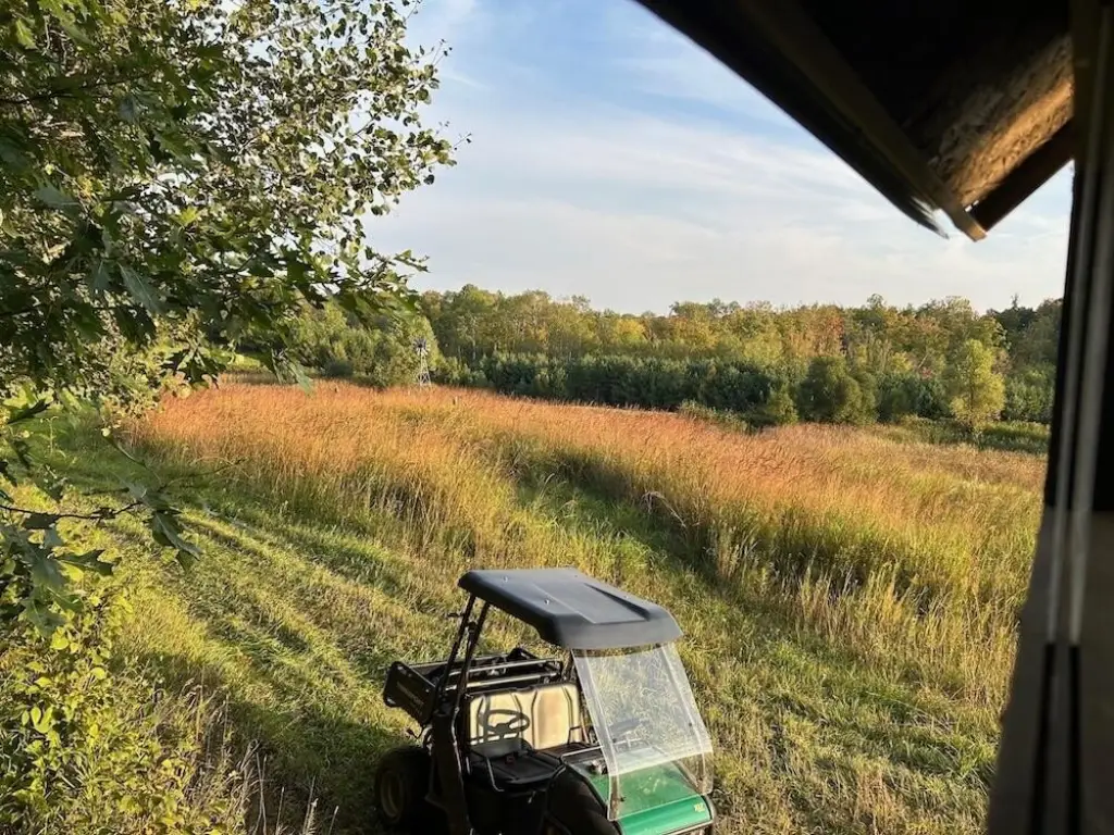
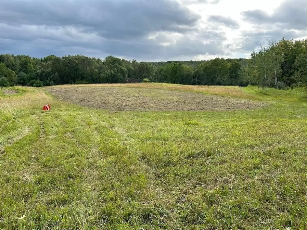
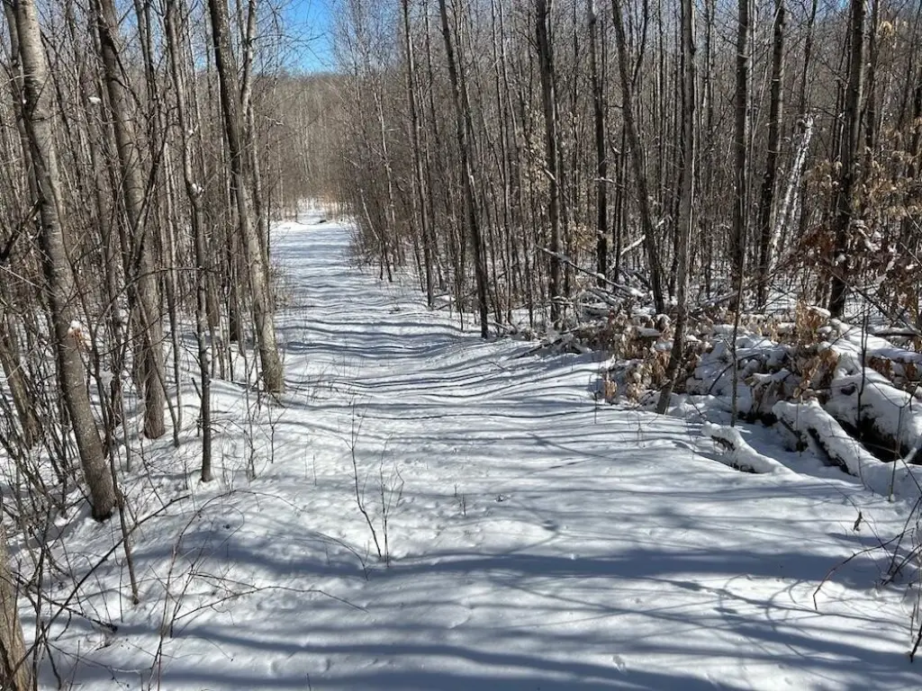
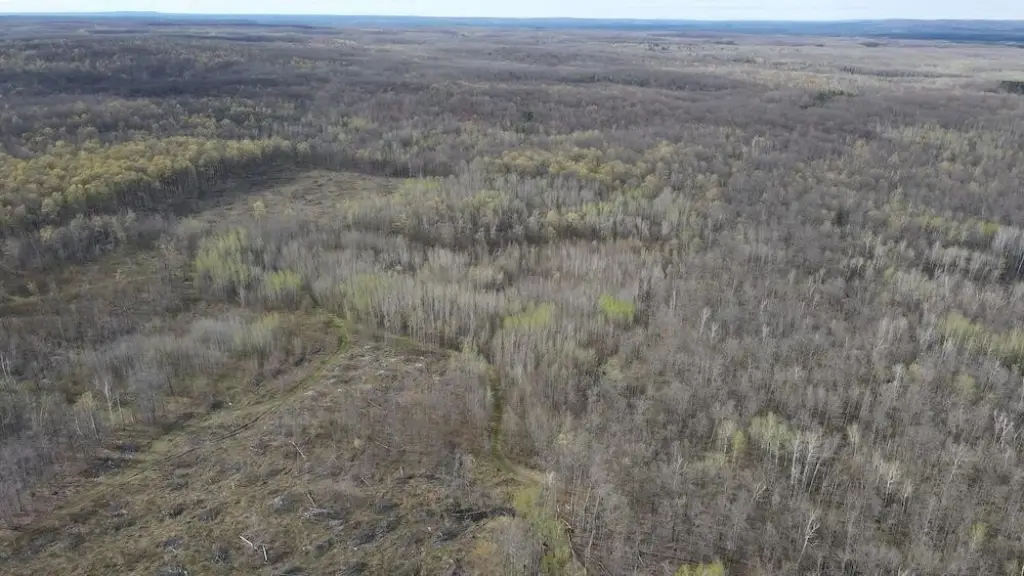
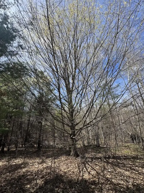
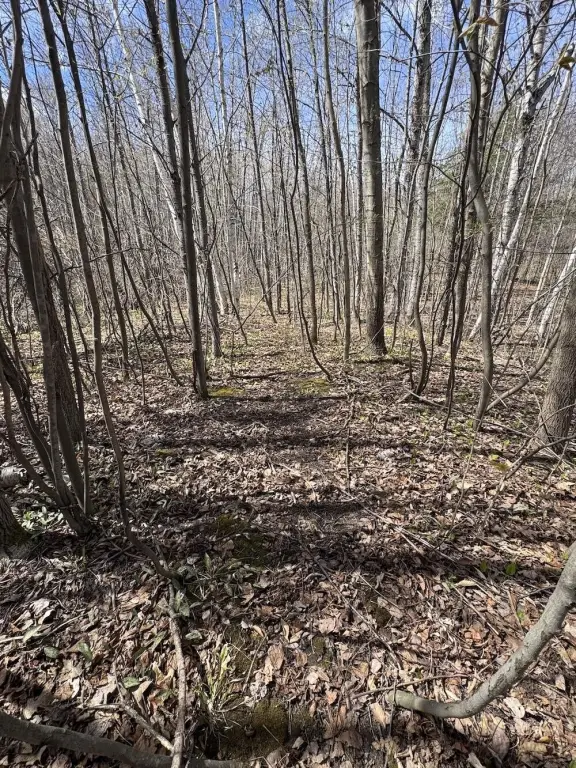
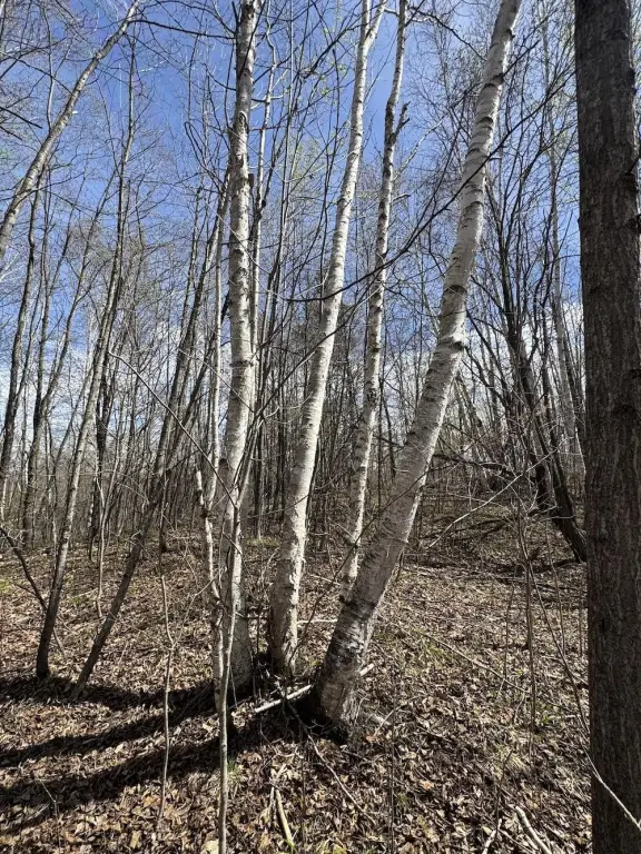
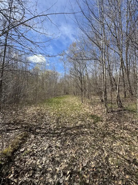
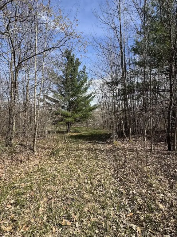
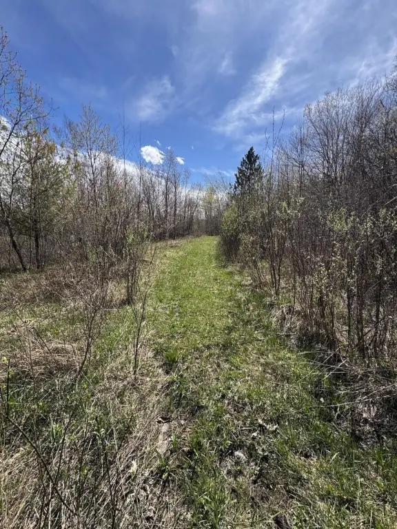
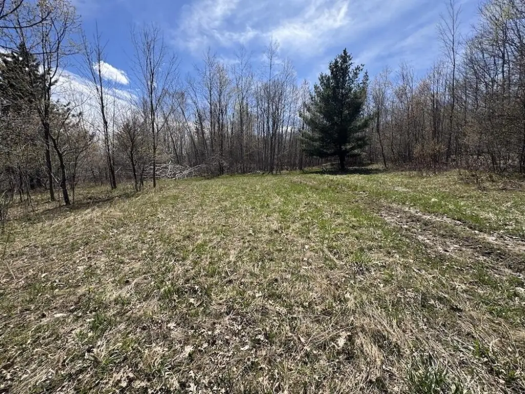
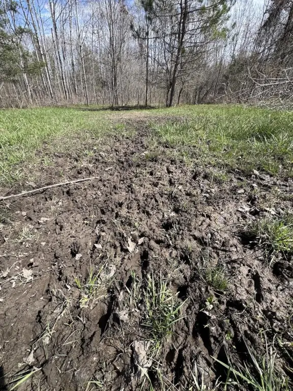
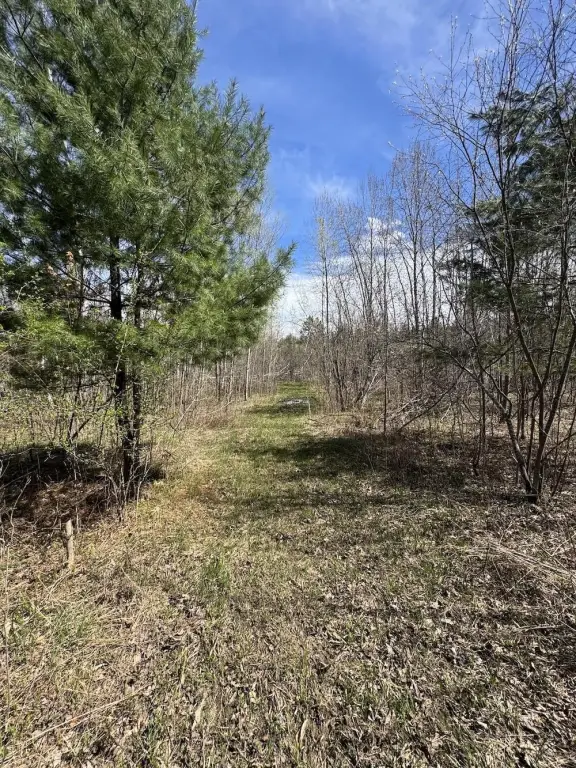
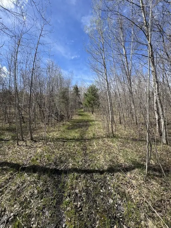
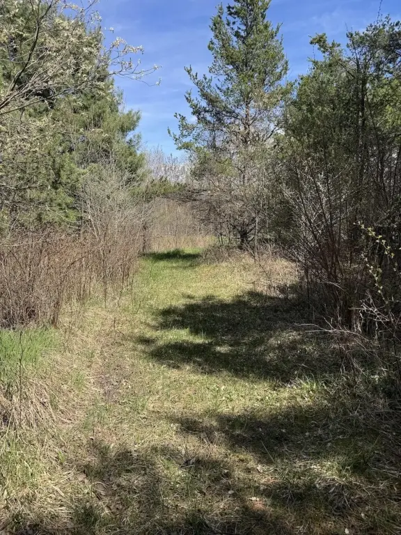
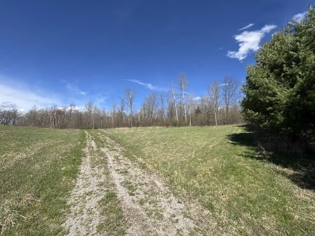
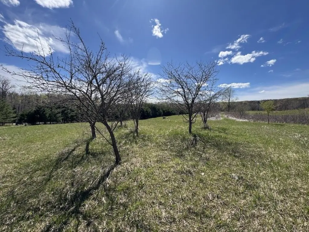
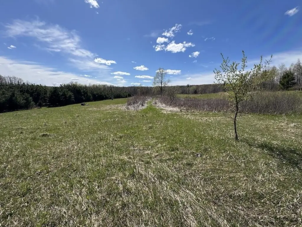
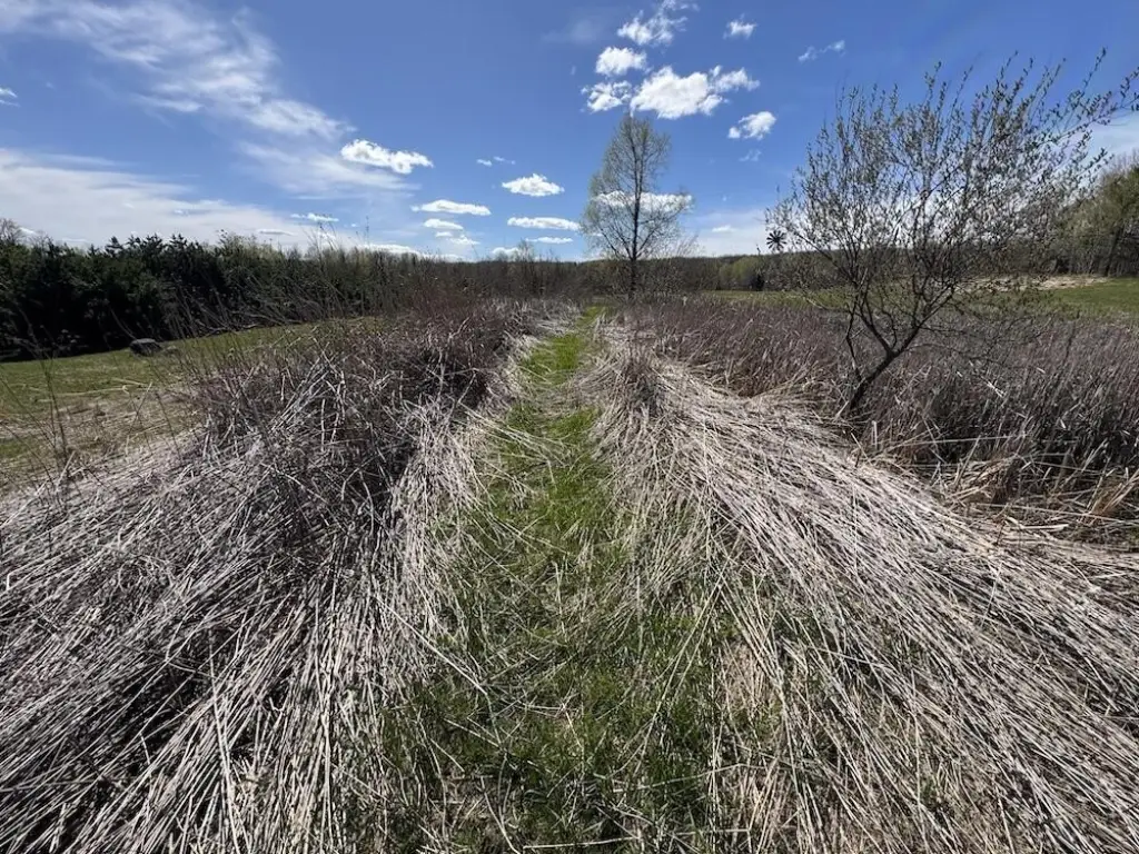
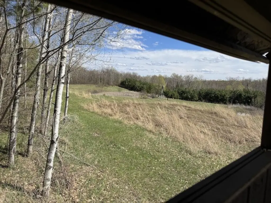
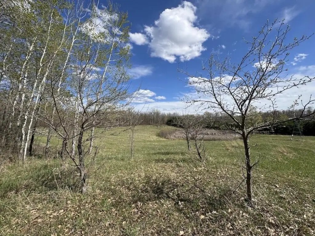
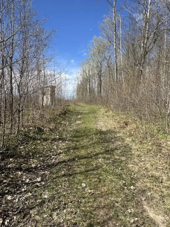
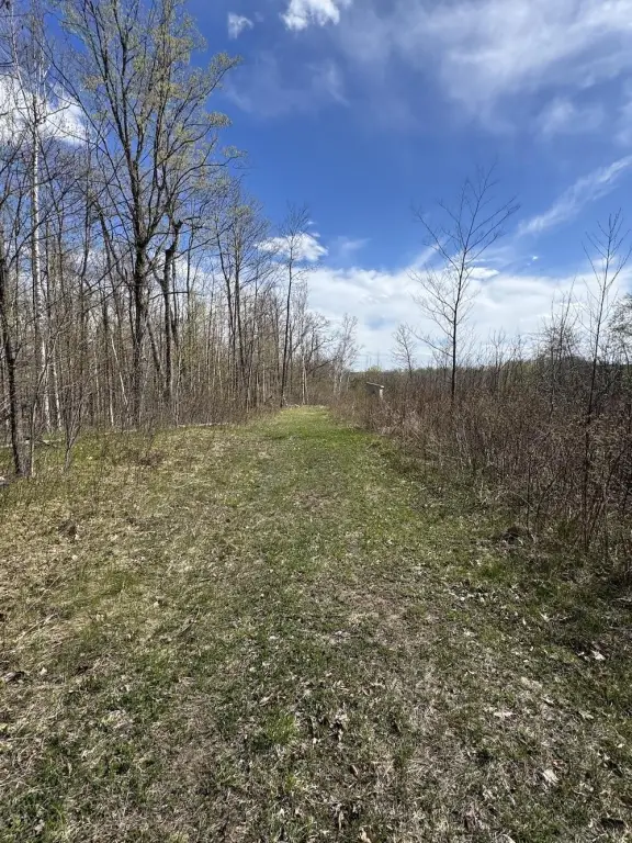
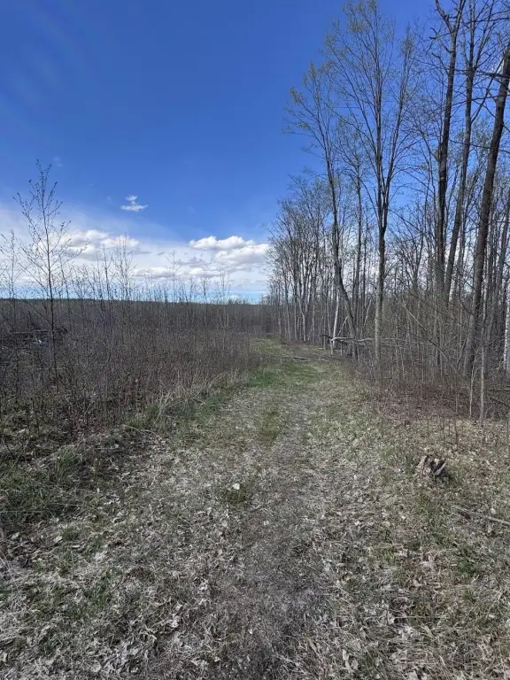
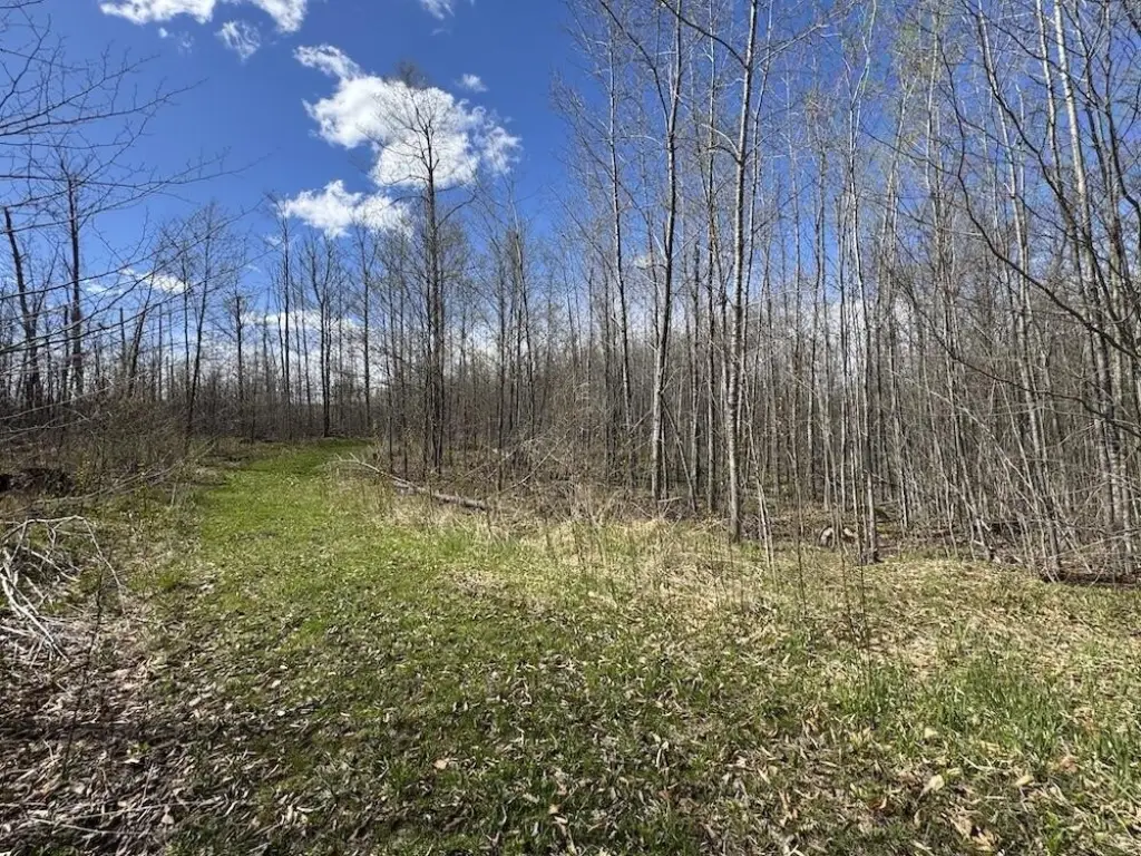
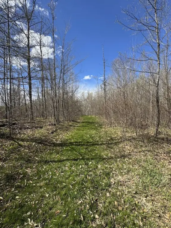
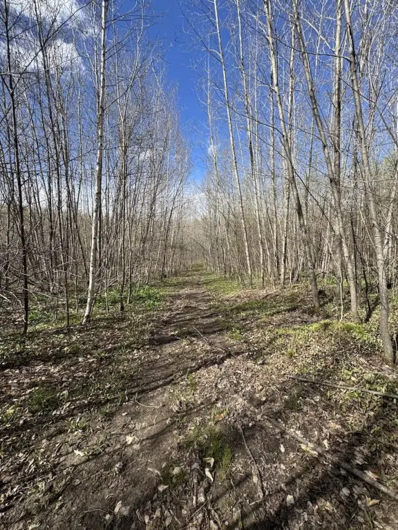
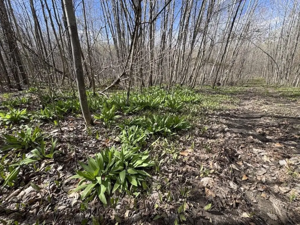
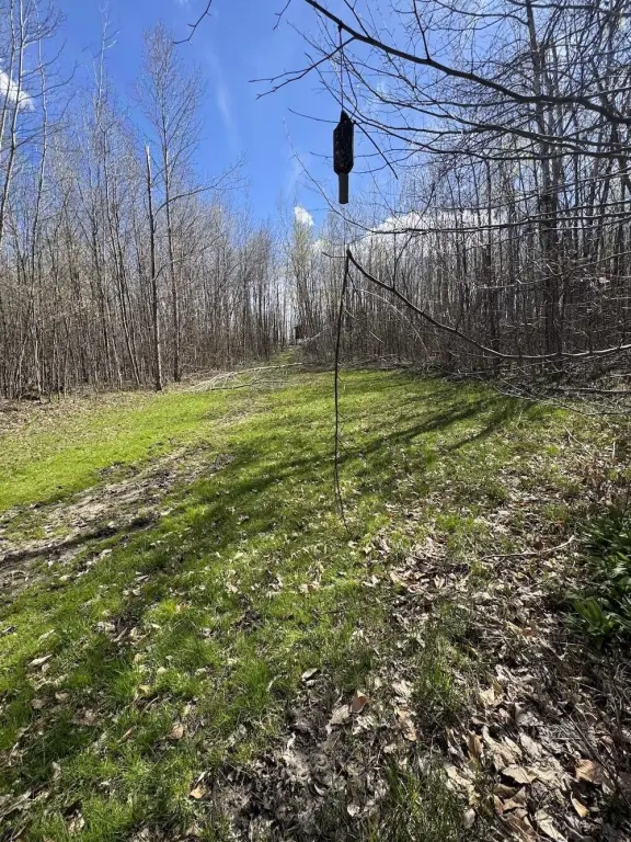
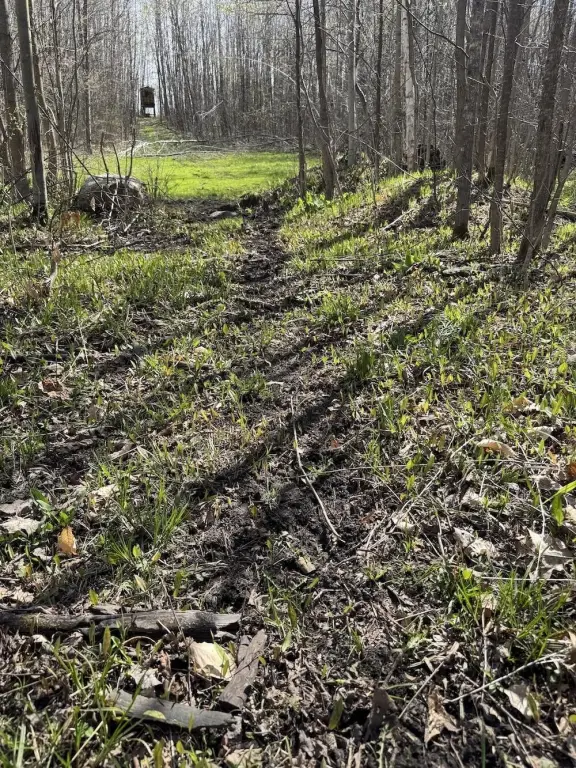
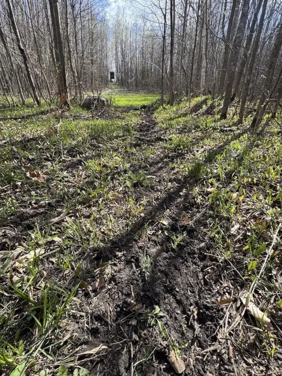
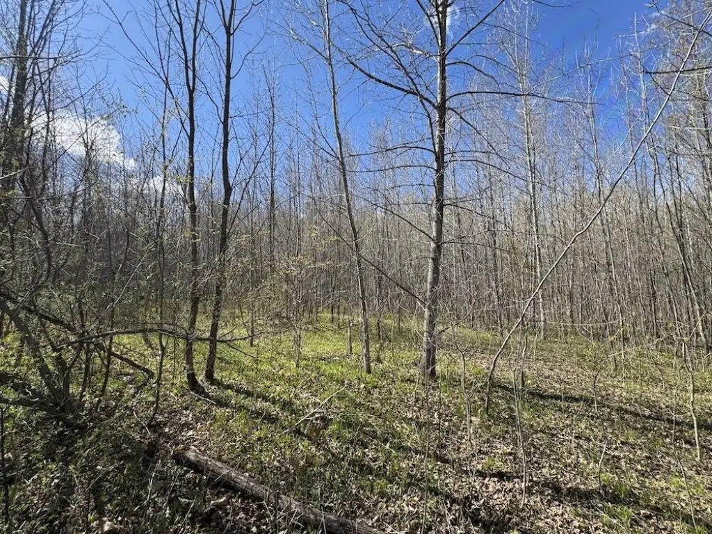
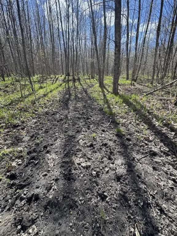
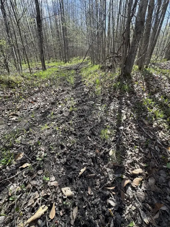
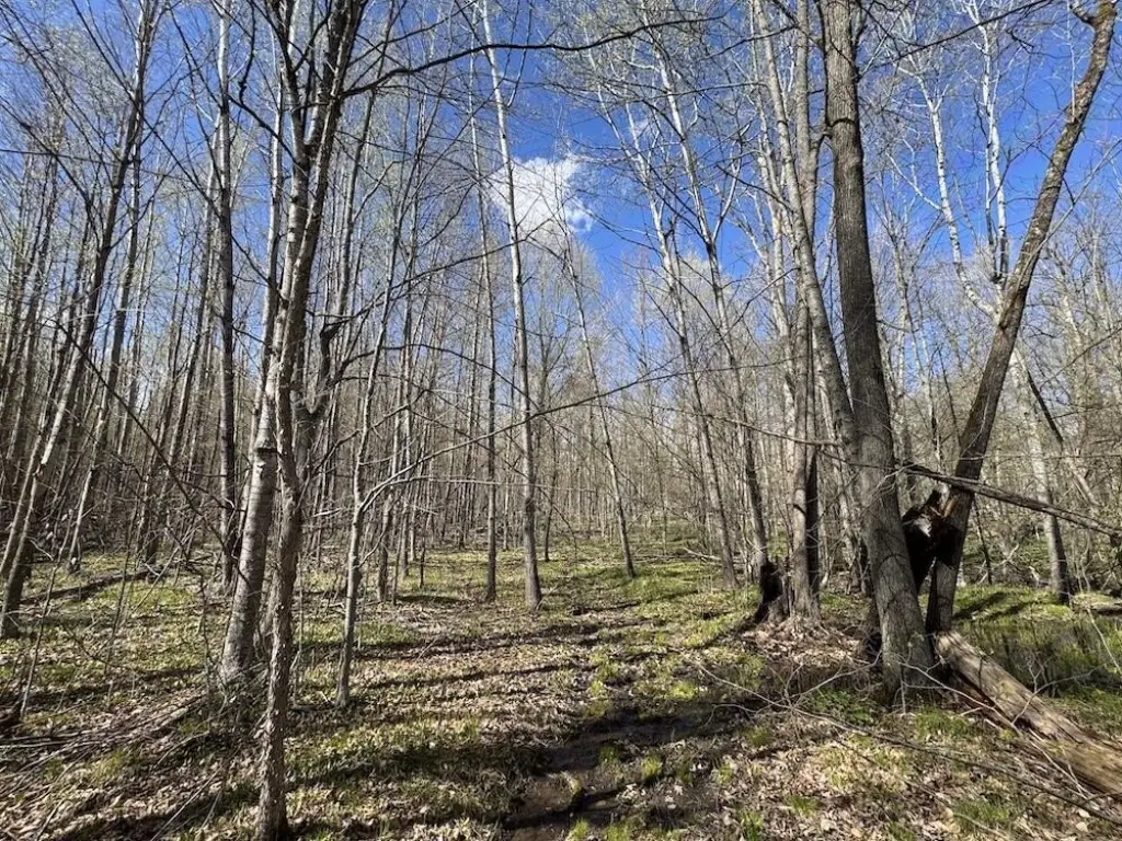
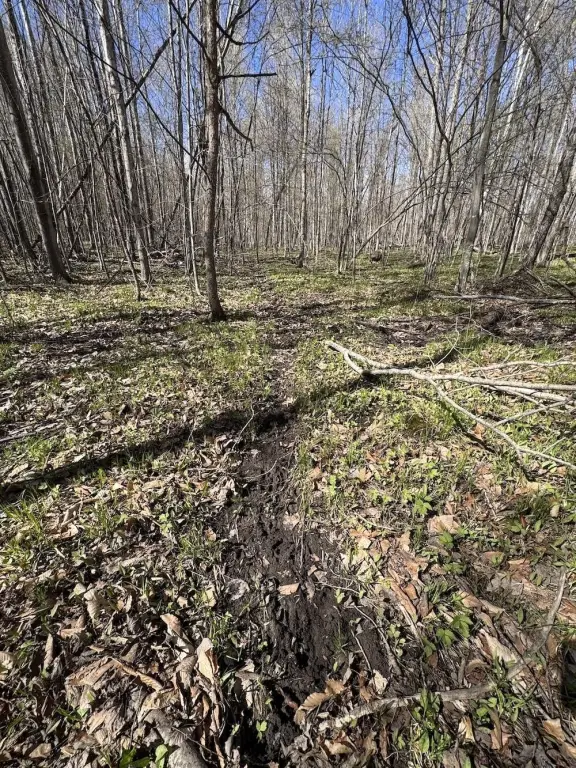
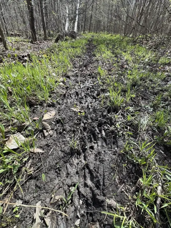
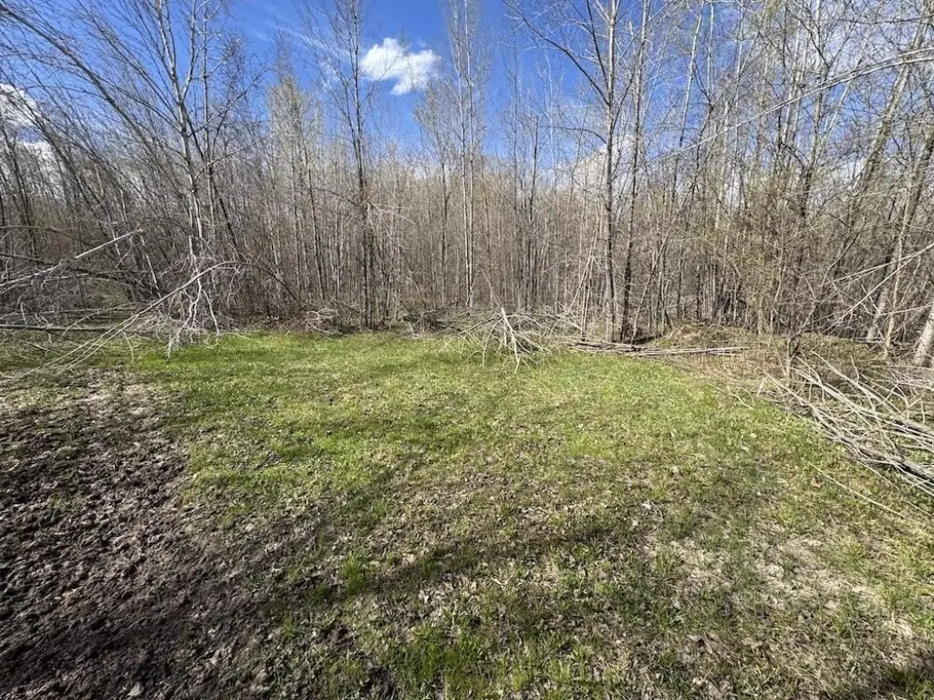
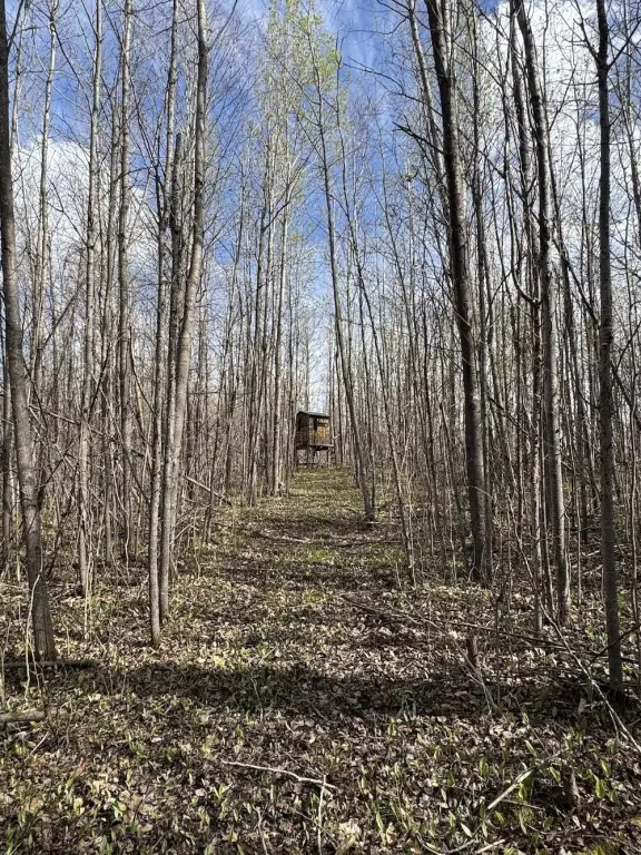
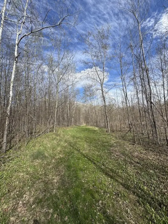
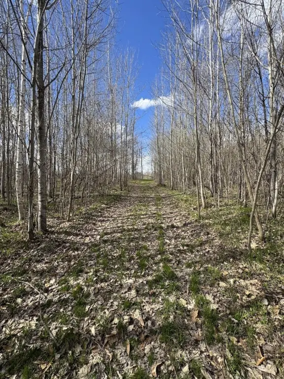
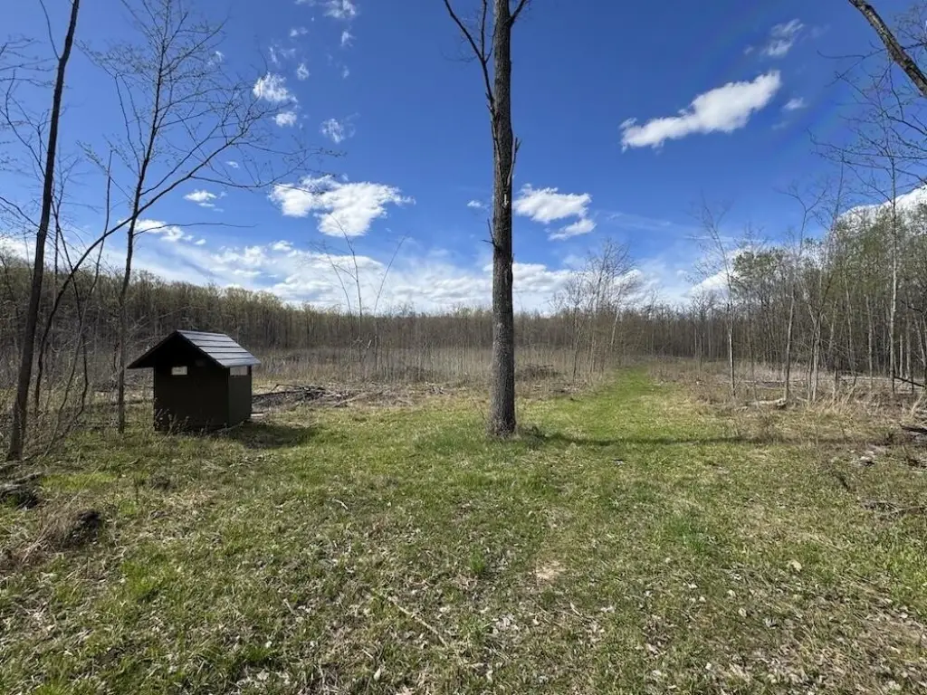
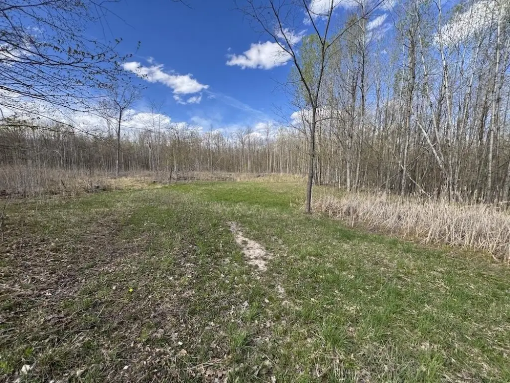
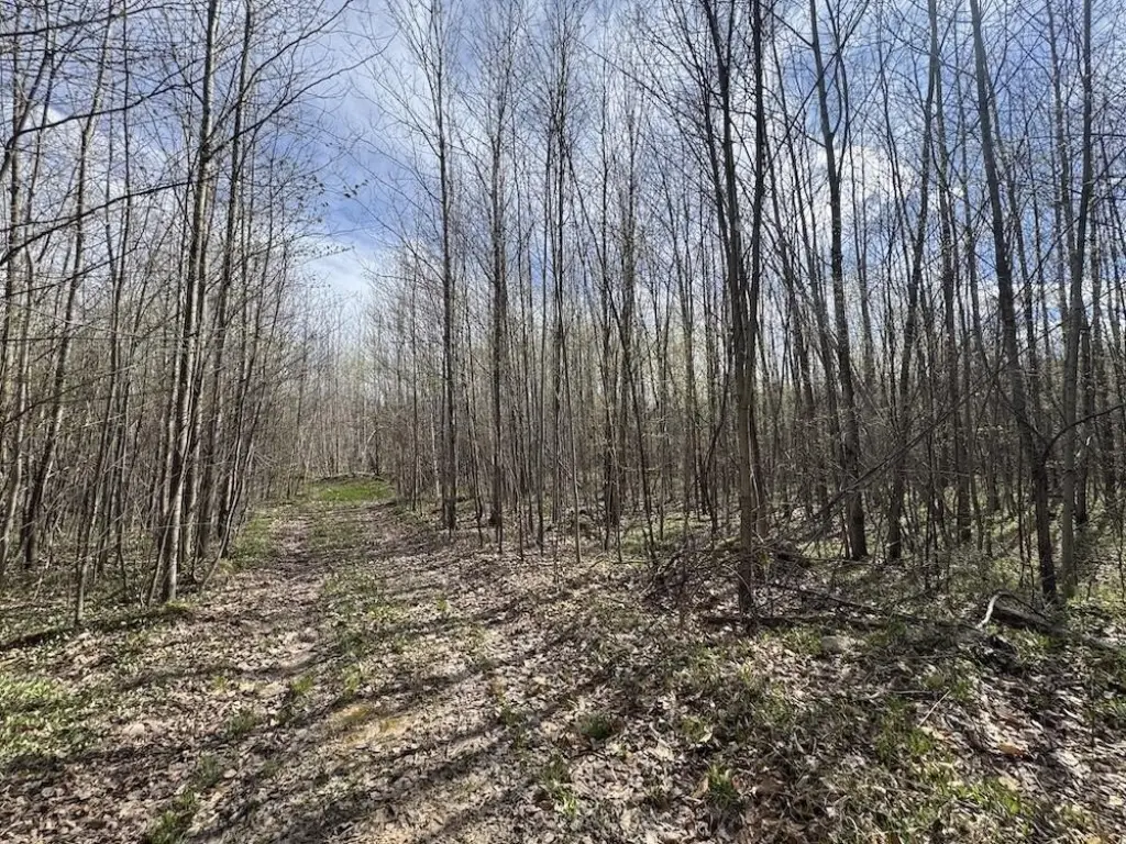
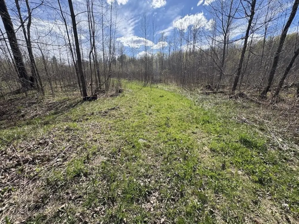
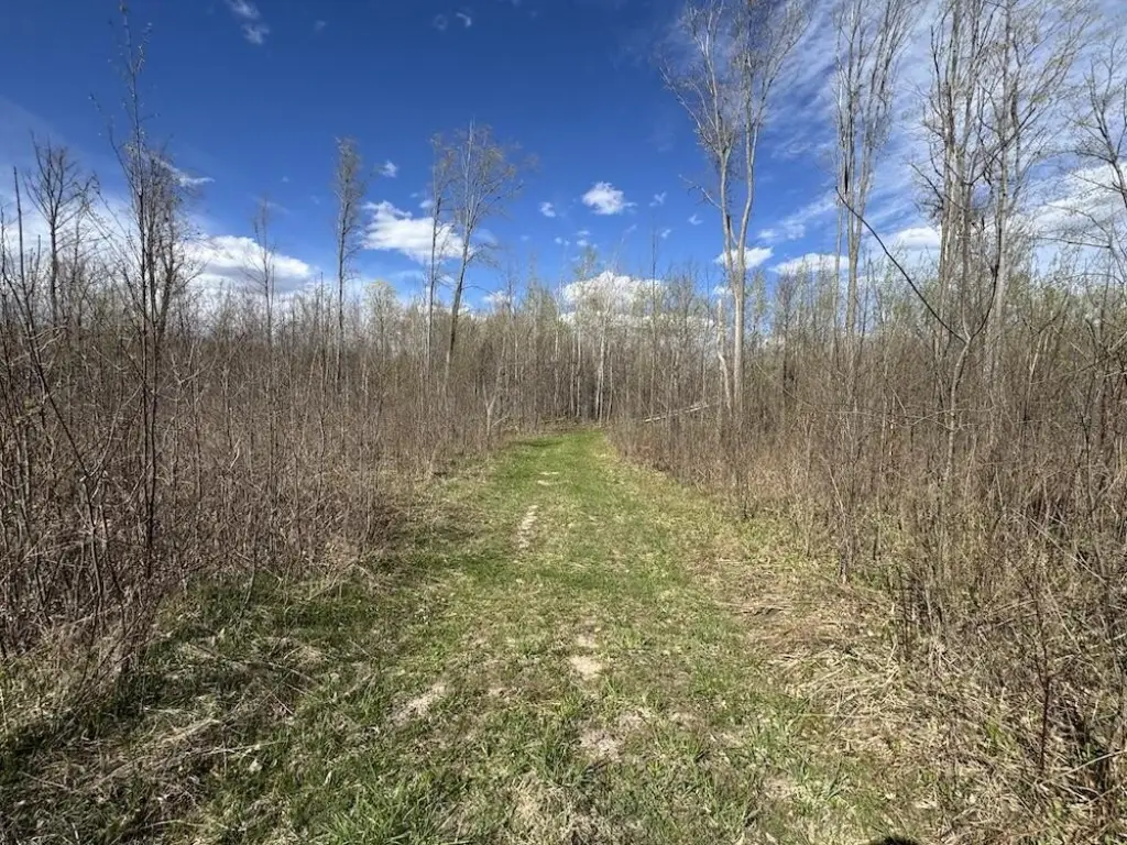
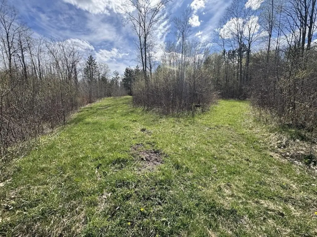
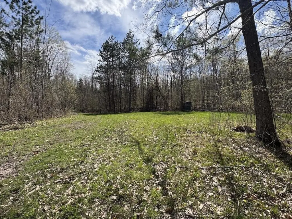
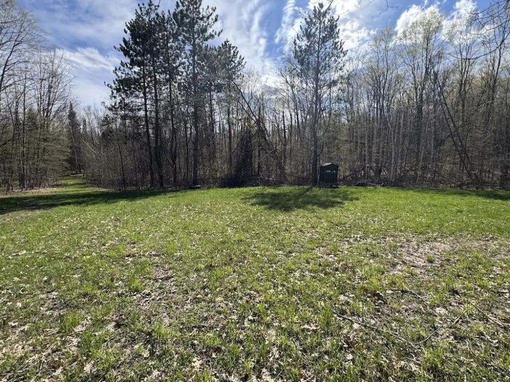
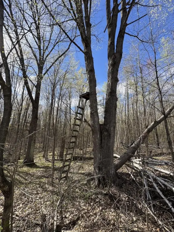
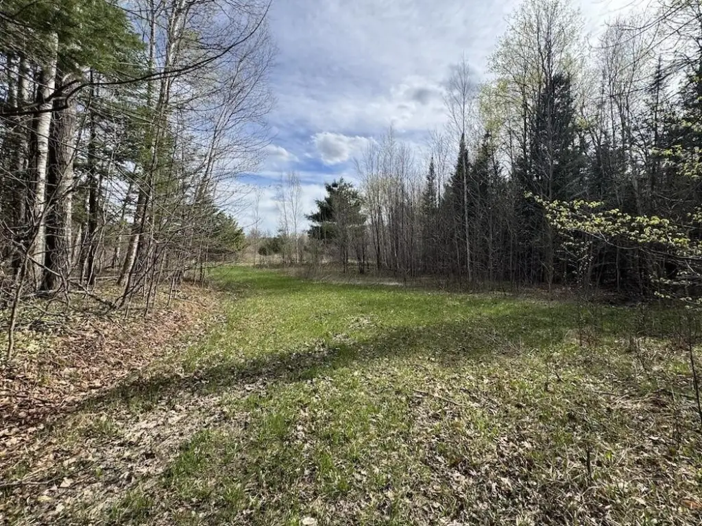
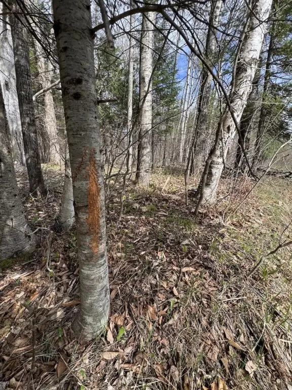
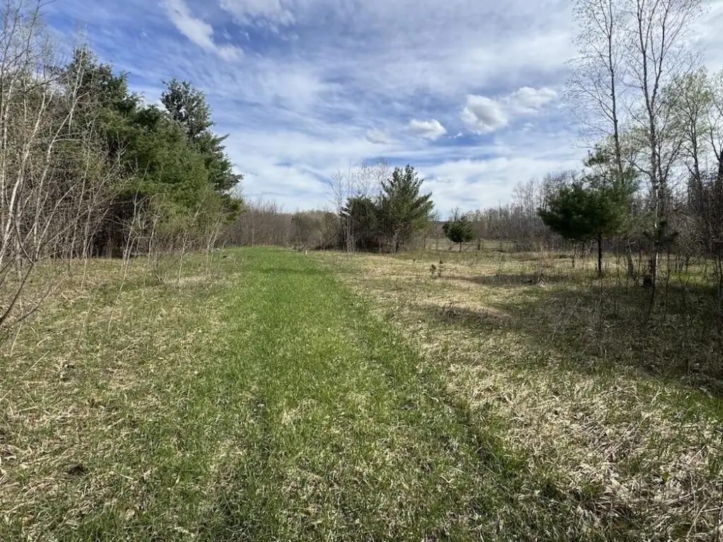
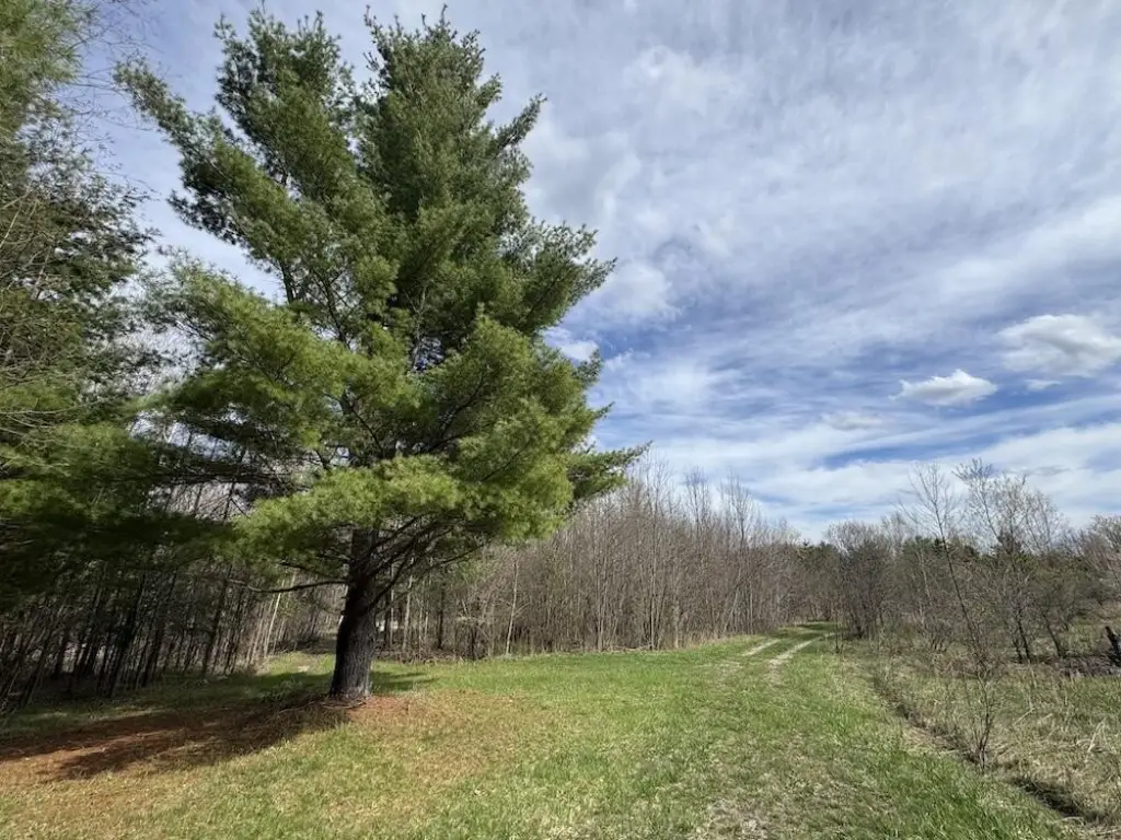
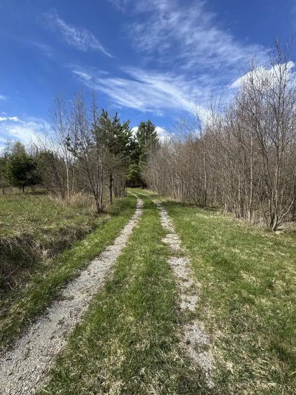
- Trail system throughout the property for ATV/side‑by‑side and on‑foot access to food plots, ponds, and remote areas
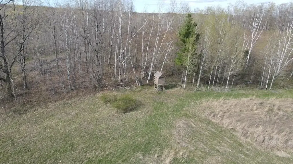
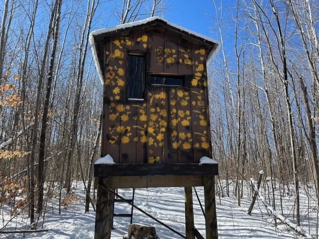
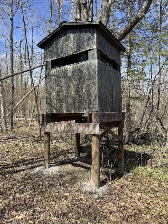
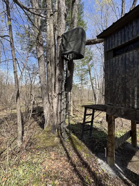
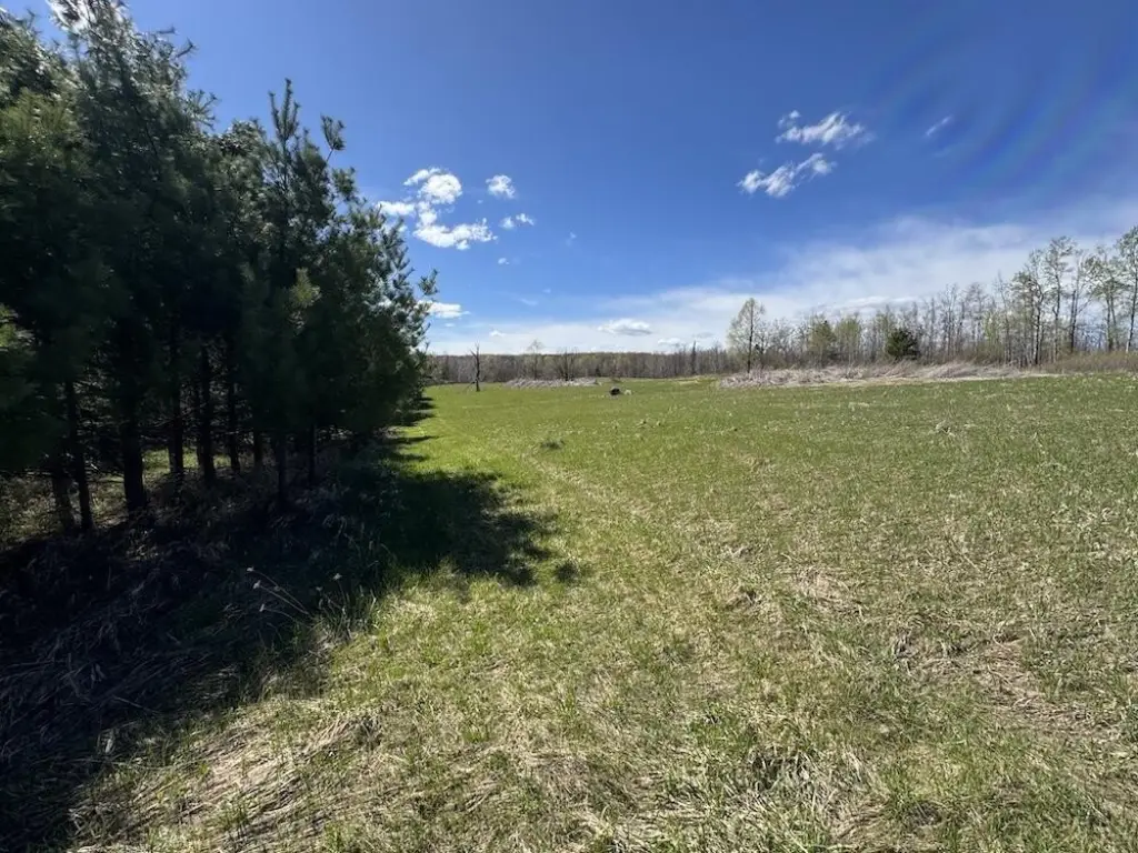
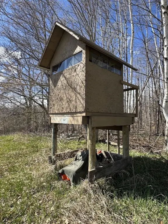
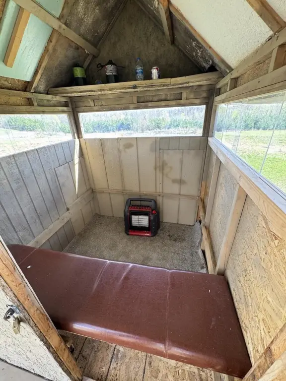
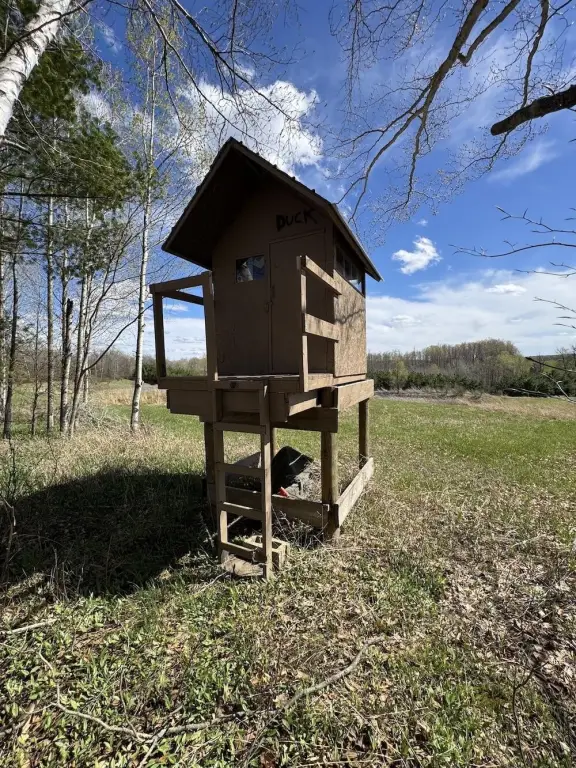
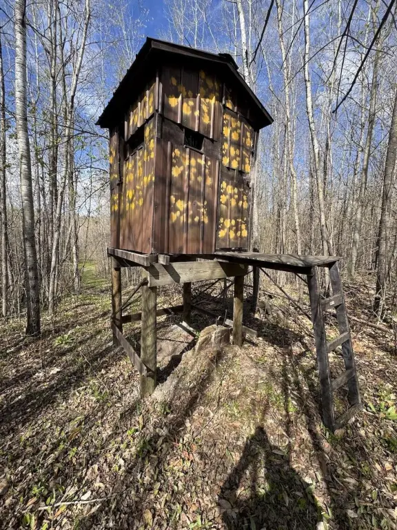
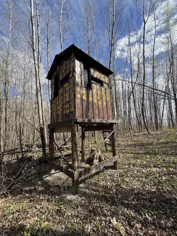
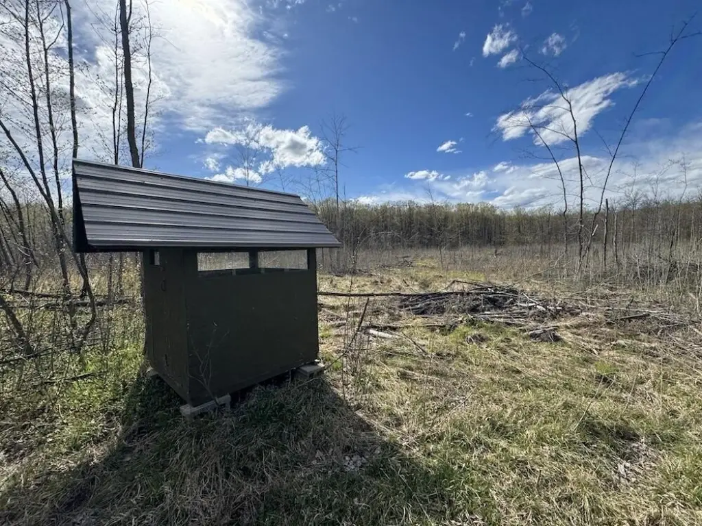
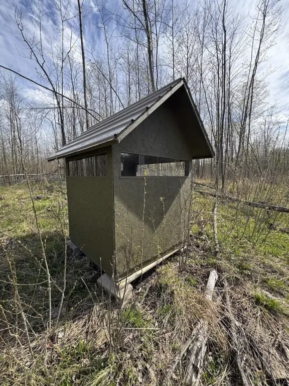
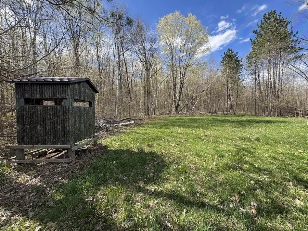
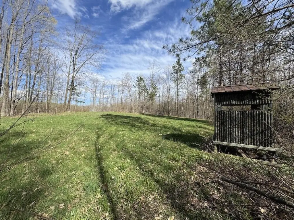
- Several established food plots and strategically positioned hunting blinds already in place
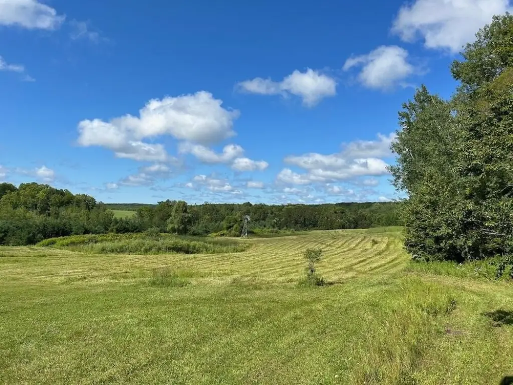
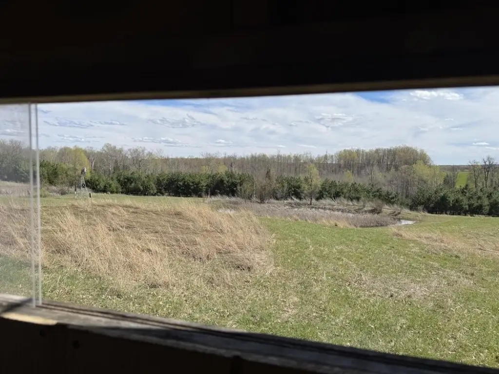
- Two ponds near the front with windmill‑powered aeration systems to support year‑round pond function
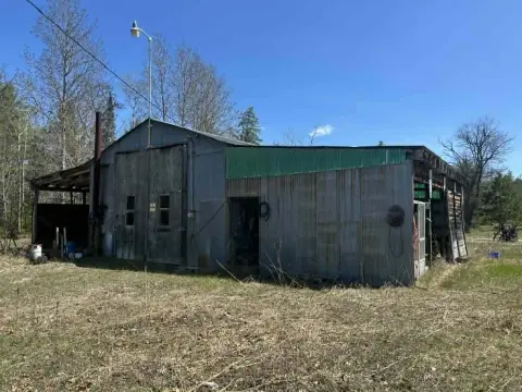
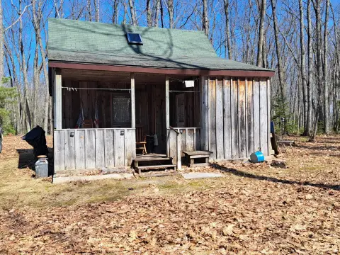
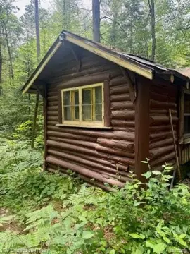
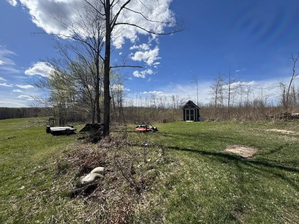
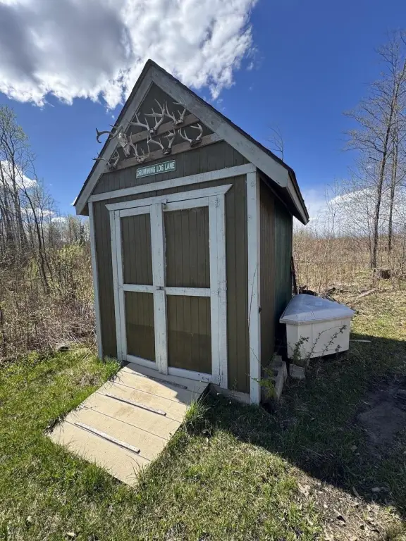
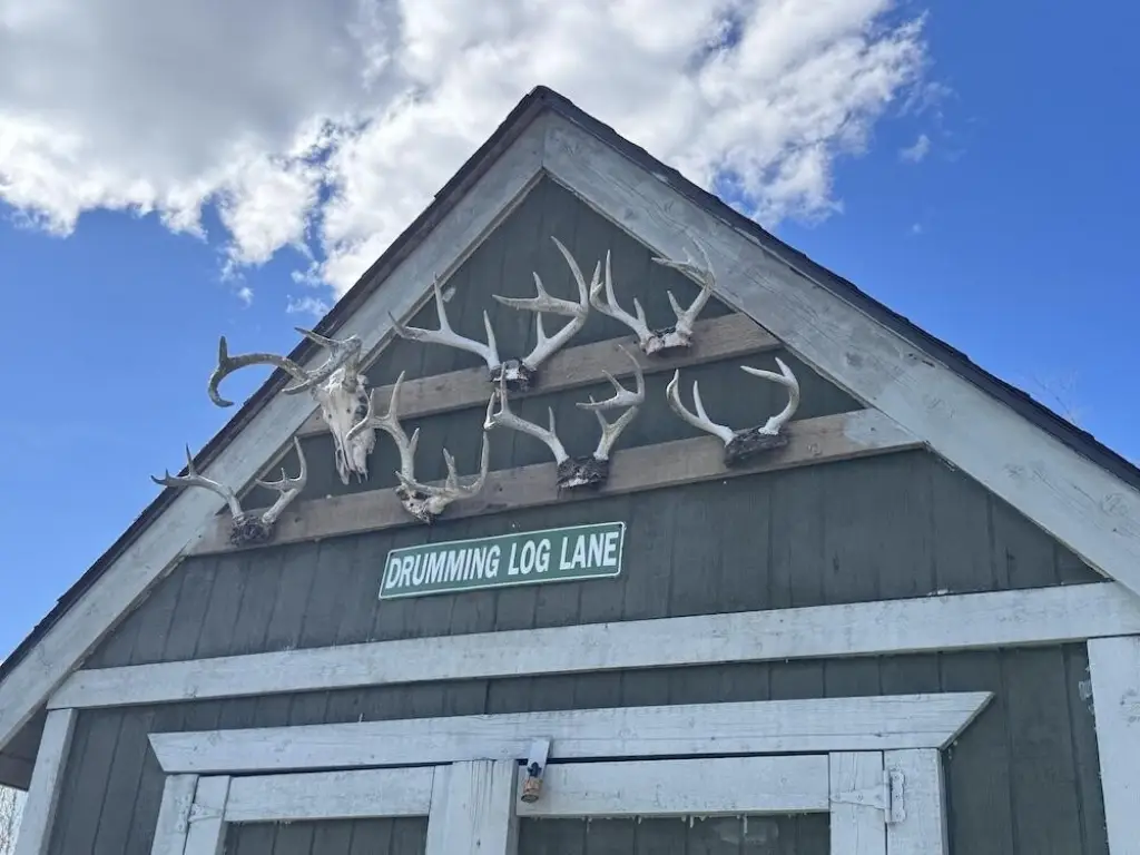
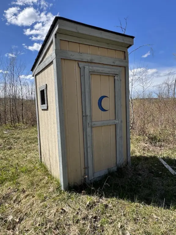
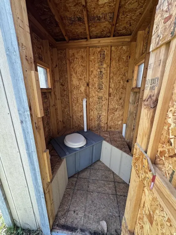
- Large storage shed for tools, equipment, ATVs, and hunting gear plus an on‑site outhouse
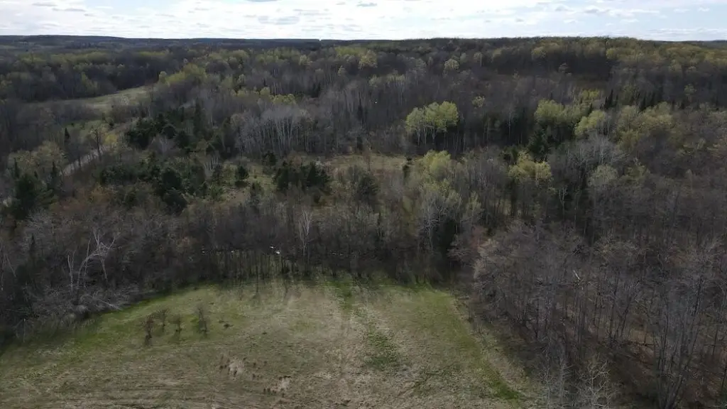
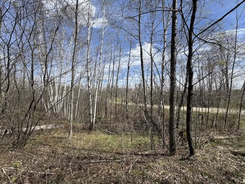
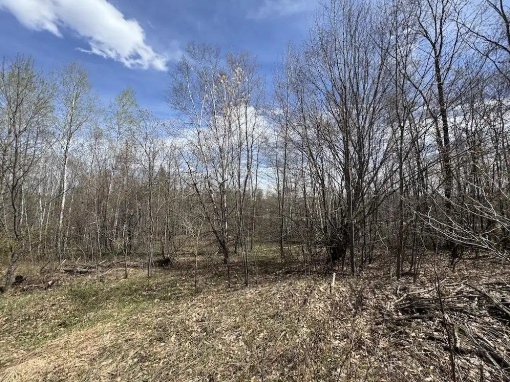
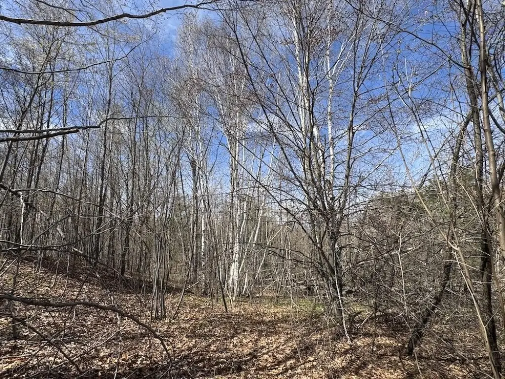
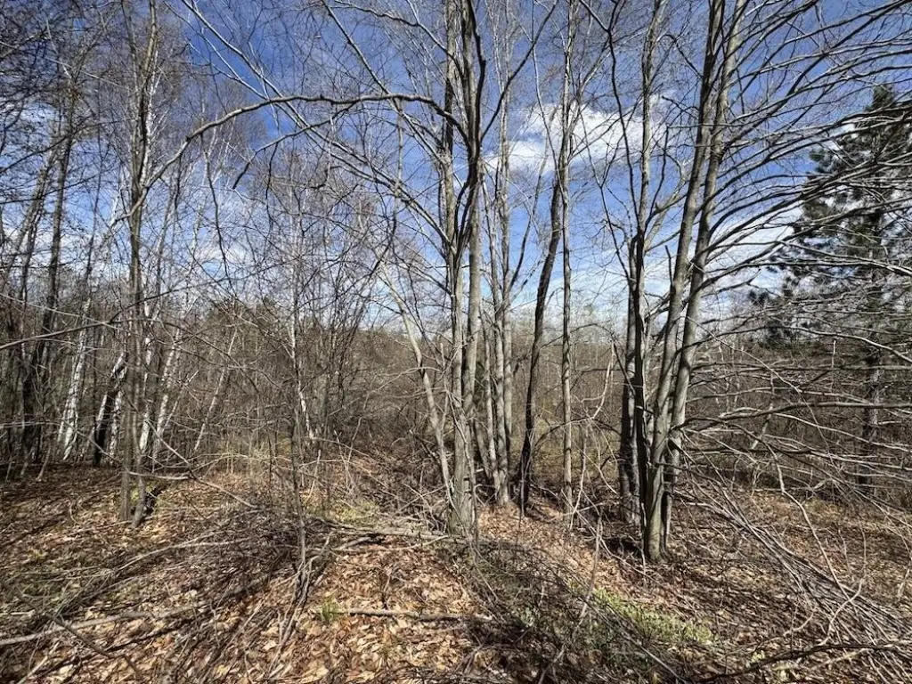
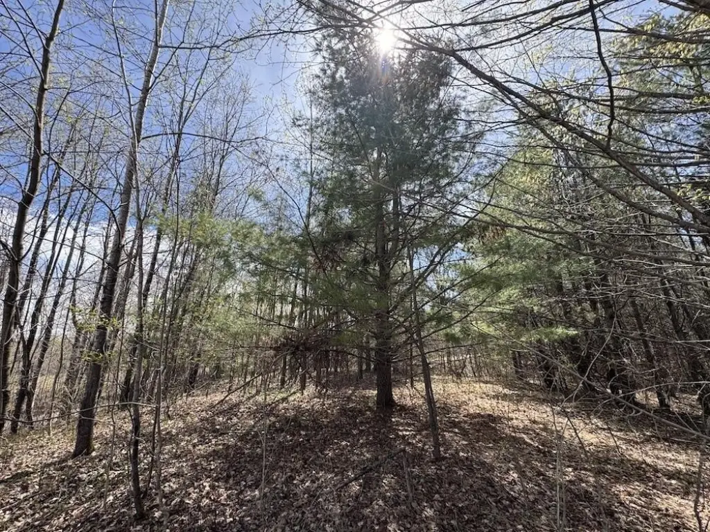
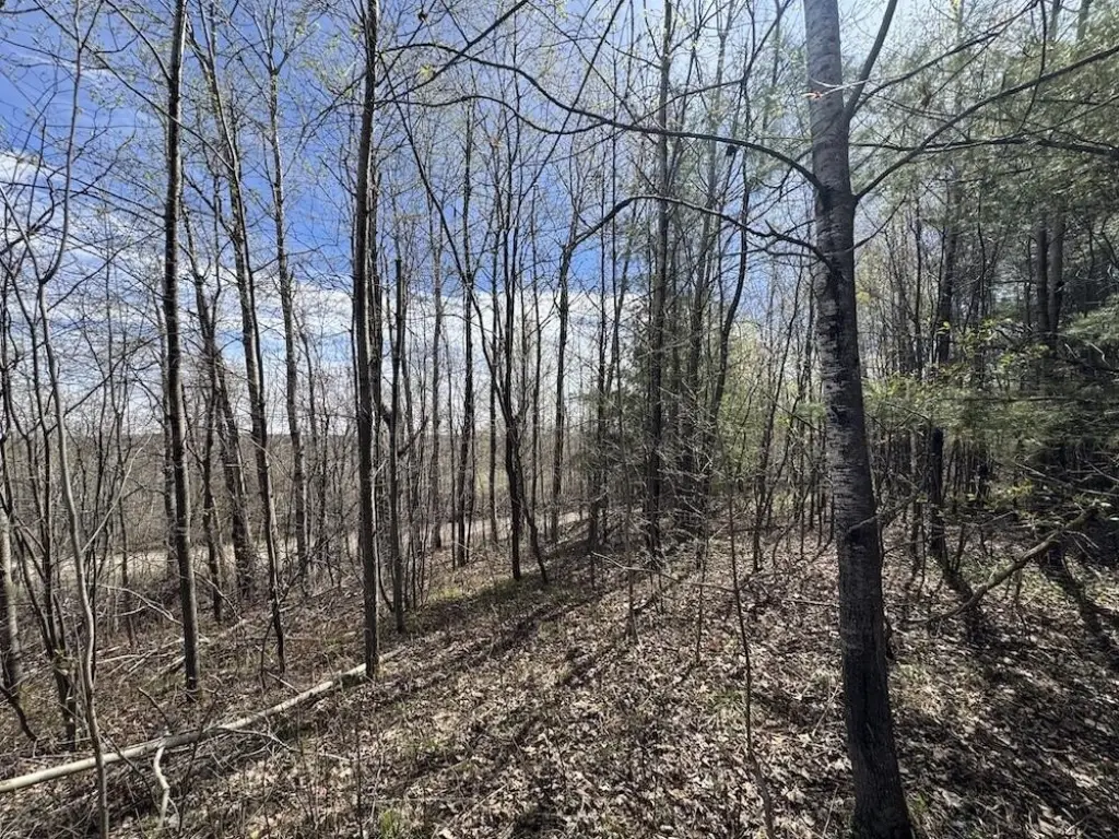
Overview
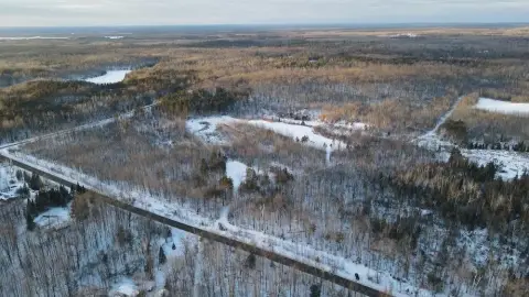
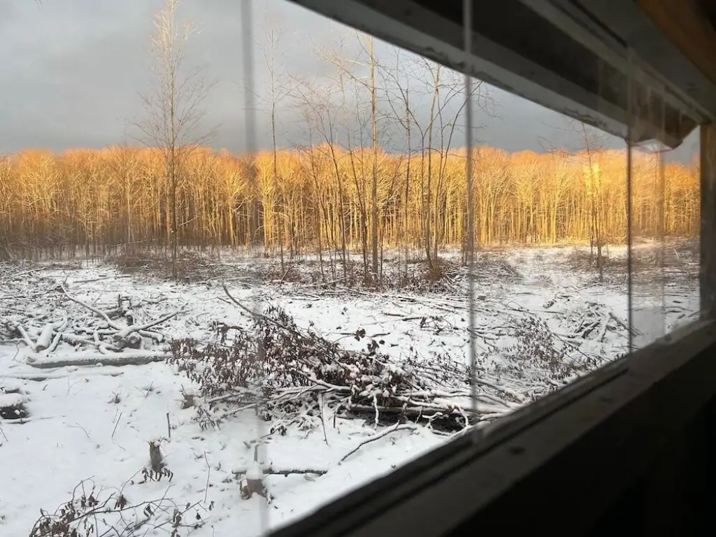
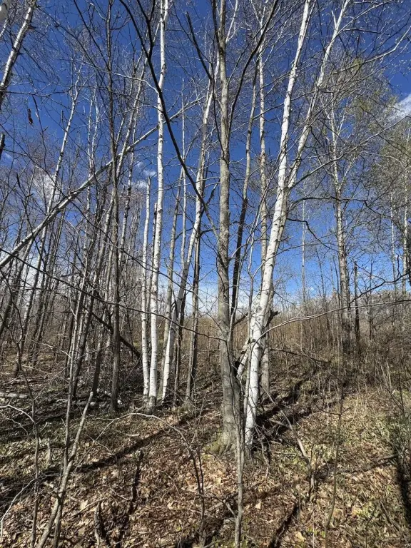
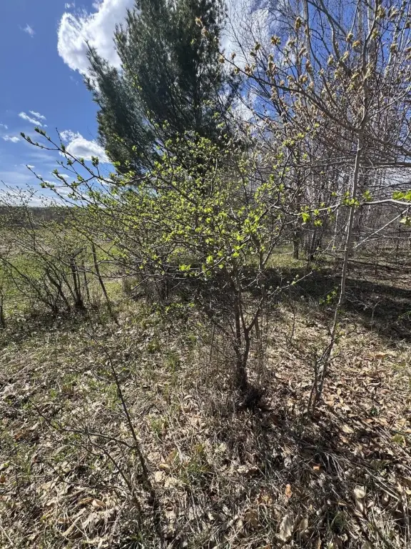
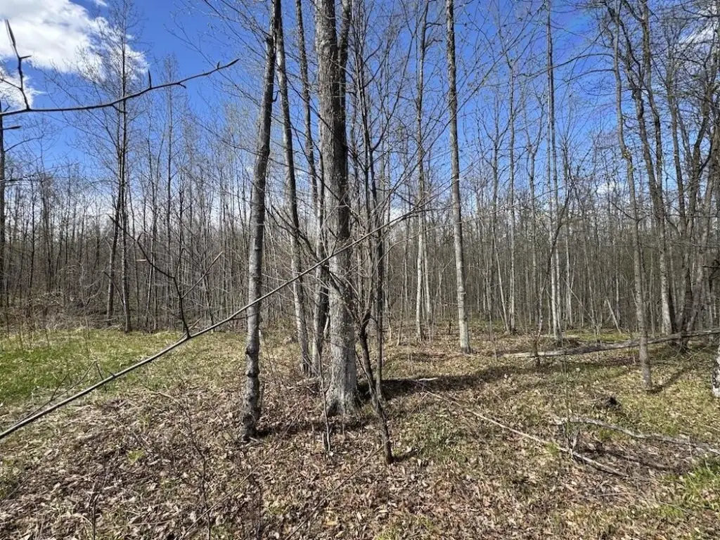
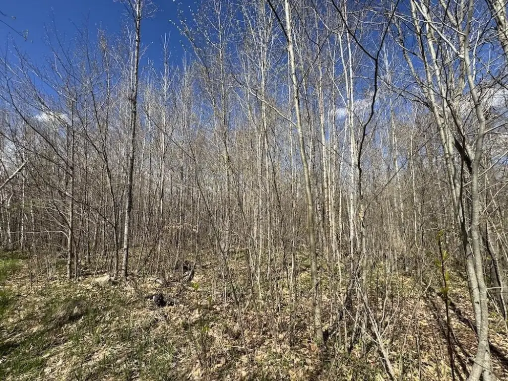
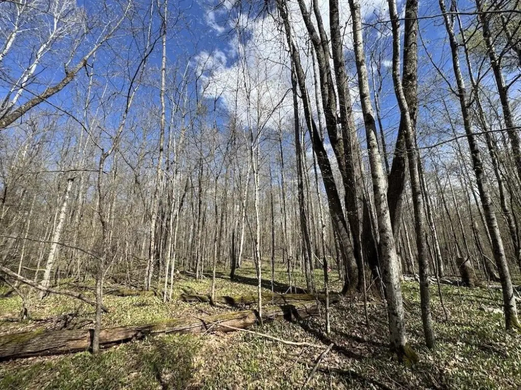
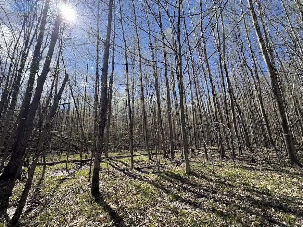
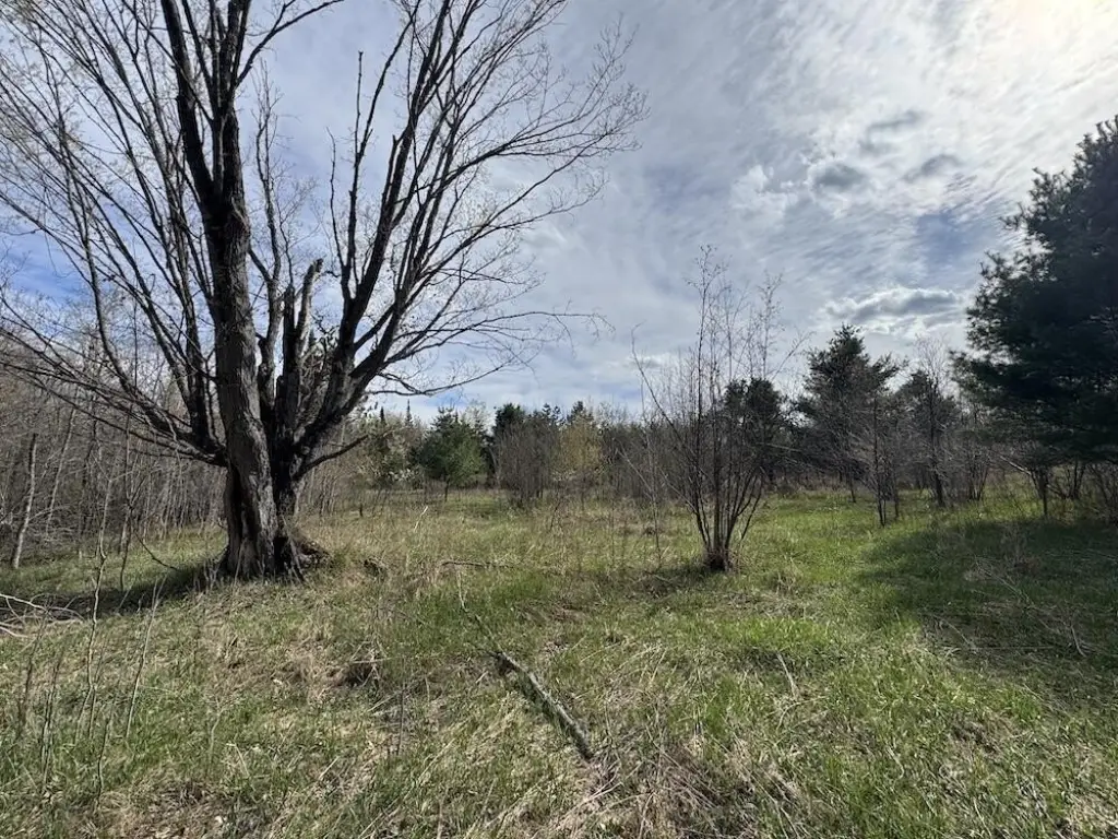
The land is accessed through one of four gated access points along the south boundary, with road frontage spanning the entire southern border. The property is completely surrounded on all sides by more than 67,000 acres of federal land, providing immediate adjacency to public ground for hunting, hiking, trail riding, wildlife viewing, and outdoor recreation.
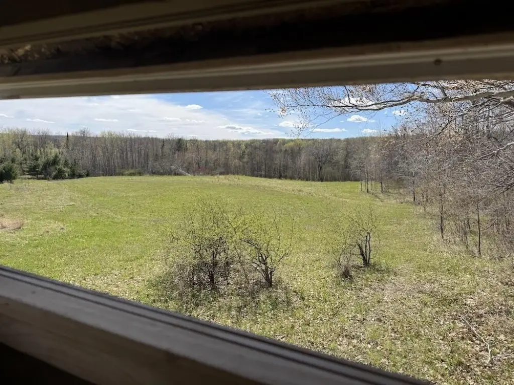
For hunters and outdoor enthusiasts, the combination of established habitat work, ready-to-use food plots and blinds, on-site ponds, and direct access to surrounding federal land supports year-round recreational use. The trail network, storage shed, and additional on-site convenience improvements also make the property practical for extended visits, whether for camping, hunting season operations, or building plans at one of the identified locations.
Current Use by Public Records
Map
- City
- Mio
- County
- Oscoda
- State
- Michigan
- Longitude
- -84.059382
- Latitude
- 44.565236