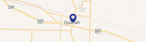
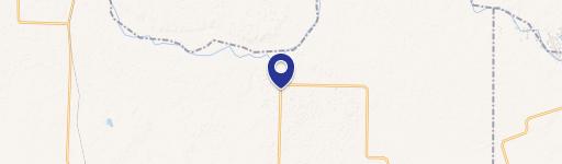
Trolinder Rd FM 680, Quanah, TX 79252
- Added:
- Apr 6, 2026
- Days on Market:
- 63
- Last Refresh:
- Jun 7 at 12:06 pm
Property Features for Trolinder Rd FM 680
General Information
- Property type
- Land
- Property subtype
- Other
- Vegetation
- Brush, Grassed
- Standard status
- Pending
- APN
- 1798
- Lot size
- 160.00 Acres
Taxes and HOA fees
- Tax Description
- Parcel 1801: 654 21 WCSL North 80 acres
Utilities
- Water source
- Well
Listing agent Jason Horton License #0795957 (940) 600-0188
Listing office United Country H5 Auction & Realty Longview, TX (903) 686-0636
Listing date Apr 6, 2026
Copyright © 2026 North Texas Real Estate Information Systems, Inc. All rights reserved. All information provided by the listing agent/broker is deemed reliable but is not guaranteed and should be independently verified.
HighLights
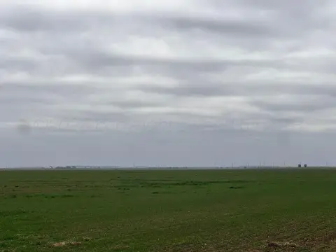
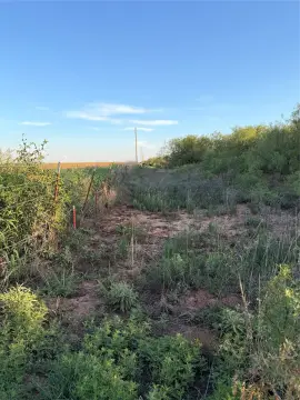
- Secluded ranch and hunting property with native grasses and predominantly sandy soils
- Native cover includes plum thickets and scattered shin oak mottes for habitat diversity
- Wildlife observed on‑site includes white‑tailed deer, feral hogs, quail, dove, and coyotes
- Water source on the property: well, supporting wildlife and potential agricultural use
- Legal access via a Farm‑to‑Market road bordering the east boundary; interior is private and lightly traveled
Overview
A Farm-to-Market road borders the east boundary, providing legal access while the remainder of the property maintains a more secluded feel. The property is positioned for recreational use and general ranch operations, with conditions consistent with rangeland intended for hunting and outdoor activity.
For buyers looking for a working ranch option or a dedicated hunting tract, the mix of sandy soils, natural cover, and observed wildlife makes this land well-suited to recreational and ranch-oriented use. It may also appeal to those seeking a baseline rangeland investment where water availability can be evaluated alongside intended agricultural plans. Buyer to verify all information, including acreage, boundaries, utilities, water sources, and intended use.
Current Use by Public Records
Map
- City
- Quanah
- County
- Hardeman
- State
- Texas
- Longitude
- -99.965886
- Latitude
- 34.520925